The Bitterroot Mountains are part of the Bitterroot Range, running north-south from I-90 to the Salmon River and making up much of the Idaho-Montana state line. The mountains abut the Clearwater and St. Joe Mountains, which make up the Bitterroot’s western boundary. To the east the Bitterroots are bordered by the Bitterroot River. The mountains are named after the Montana state flower, Lewisia rediviva.
| Photo | Trail | Rating | Difficulty | Distance | Duration | Elevation Gain | High Point | Low Point | Type | Features | Status | Administration | Fees and Permits | Maps | Open To | Season | Trail# | Resources |
|---|---|---|---|---|---|---|---|---|---|---|---|---|---|---|---|---|---|---|
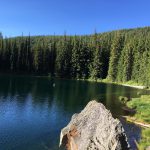 | Bacon-Bean Loop | 4.4 / 5 | Moderate | 36.0 mi | 20:00 h | 6,000 ft | 6,665 ft | 3,743 ft | July-October | 20, 66 | ||||||||
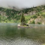 | French Lake | 3.5 / 5 | Moderate | 5.8 mi | 2:20 h | 1,710 ft | 6,171 ft | 4,396 ft | June – October | 143 | ||||||||
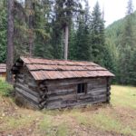 | Great Burn Loop | 4.9 / 5 | Moderate | 46.8 mi | 19:21 h | 8,605 ft | 7,320 ft | 3,330 ft | July – October | 103, 738, 110, 101 | ||||||||
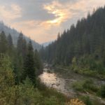 | Kelly Creek Loop | 4.2 / 5 | Moderate | 51.3 mi | 19:48 h | 6,429 ft | 7,124 ft | 3,154 ft | July – October | 567, 738, 490 | ||||||||
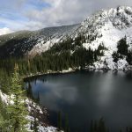 | Lone Lake – Stevens Lake Loop | 4.1 / 5 | More Difficult | 7.0 mi | 3:20 h | 2,862 ft | 6,835 ft | 3,933 ft | Year-around | 138, 165 | ||||||||
 | Nelson Ridge Loop | 3.3 / 5 | Moderate | 17.2 mi | 5:41 h | 3,350 ft | 5,739 ft | 2,413 ft | June – November | |||||||||
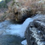 | Siamese Lake Loop | 4.4 / 5 | More Difficult | 23.0 mi | 8:50 h | 3,469 ft | 6,754 ft | 3,413 ft | July – October | 101, 114, 99, 103 | ||||||||
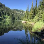 | St. Regis Lakes to Copper Lake Loop | 3.6 / 5 | Strenuous | 9.7 mi | 3:55 h | 2,481 ft | 6,400 ft | 4,404 ft | June – October | 265, 267, 16, NorPac | ||||||||
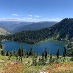 | Upper Siamese Lake | 4.1 / 5 | Moderate | 1.0 mi | 0:40 h | 307 ft | 6,878 ft | 6,466 ft | July – October |
© 2016 – 2025 NaughtyHiker. All rights reserved. No duplication without permission.