- Bitterroot Mountains
- There are a couple of sites along the ridge hike, one a bit before the intersection with Packsaddle Trail and the other at the intersection with Packsaddle. Telichpah Campground has a number of car camping sites and a cault toilet.
- Good, with a few trees to climb over and under. There is still snow up on the ridge in June.
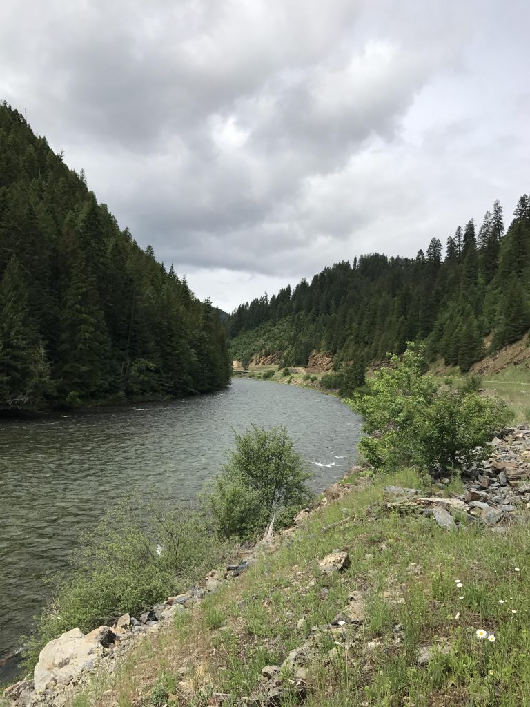
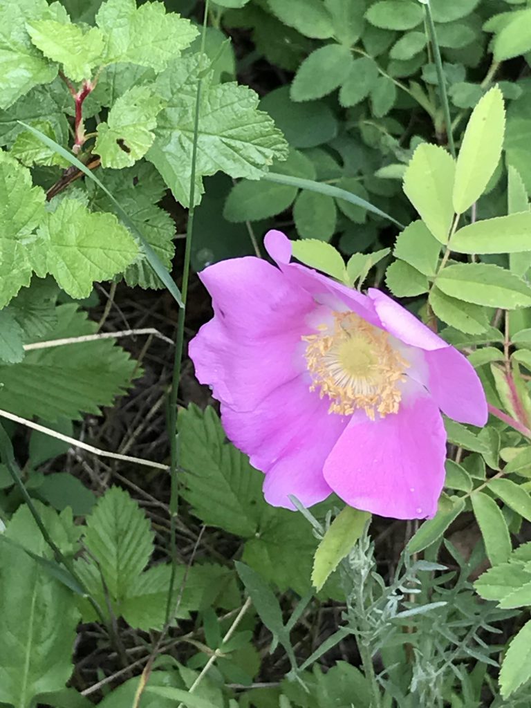
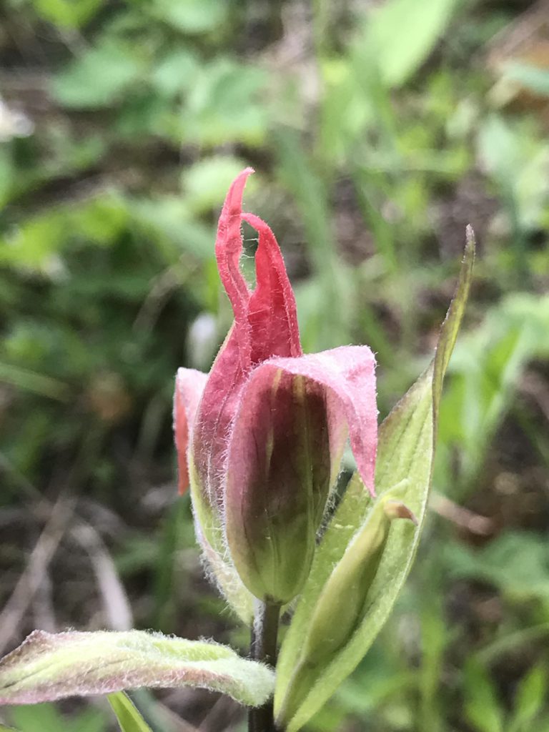
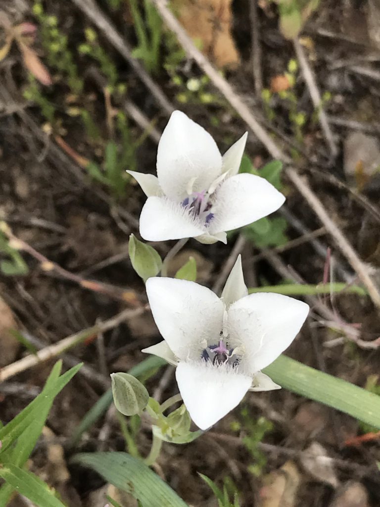
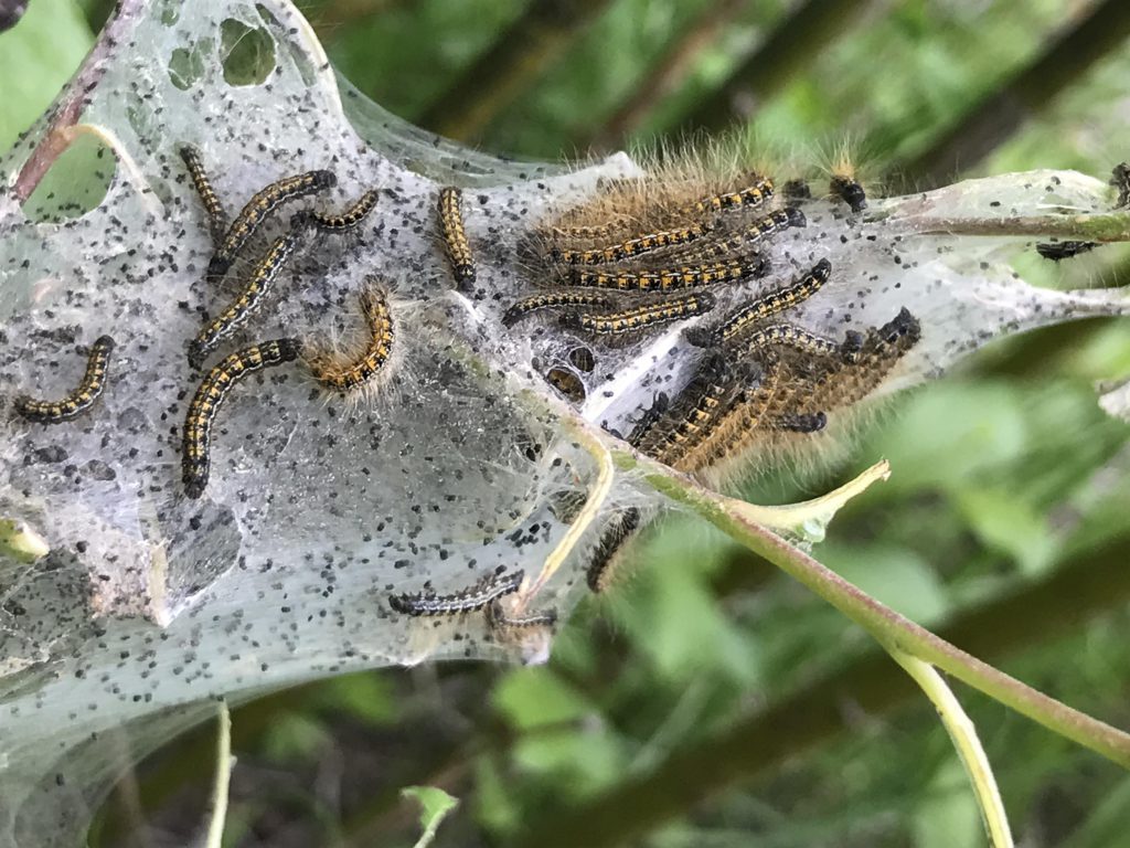
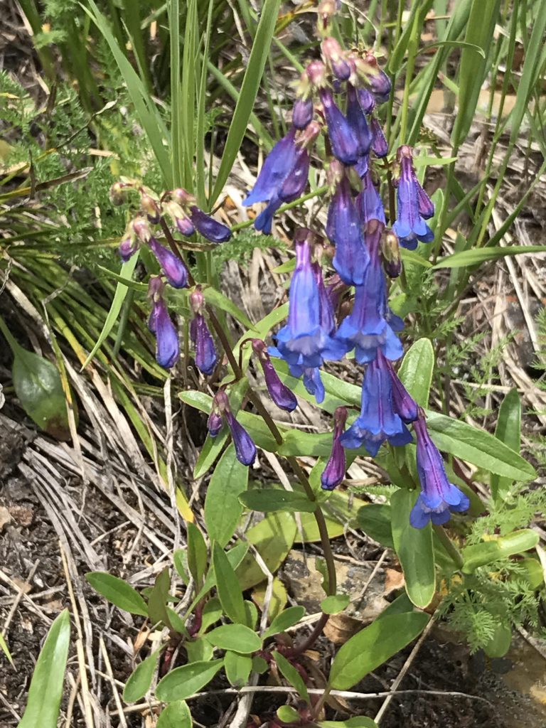
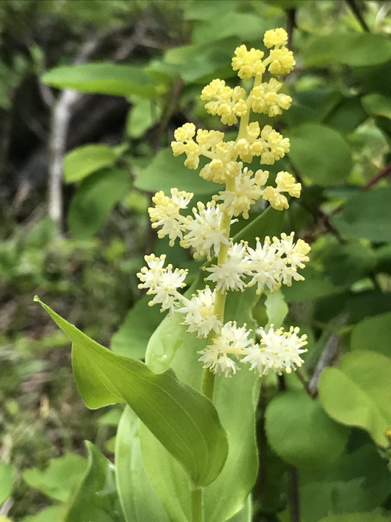
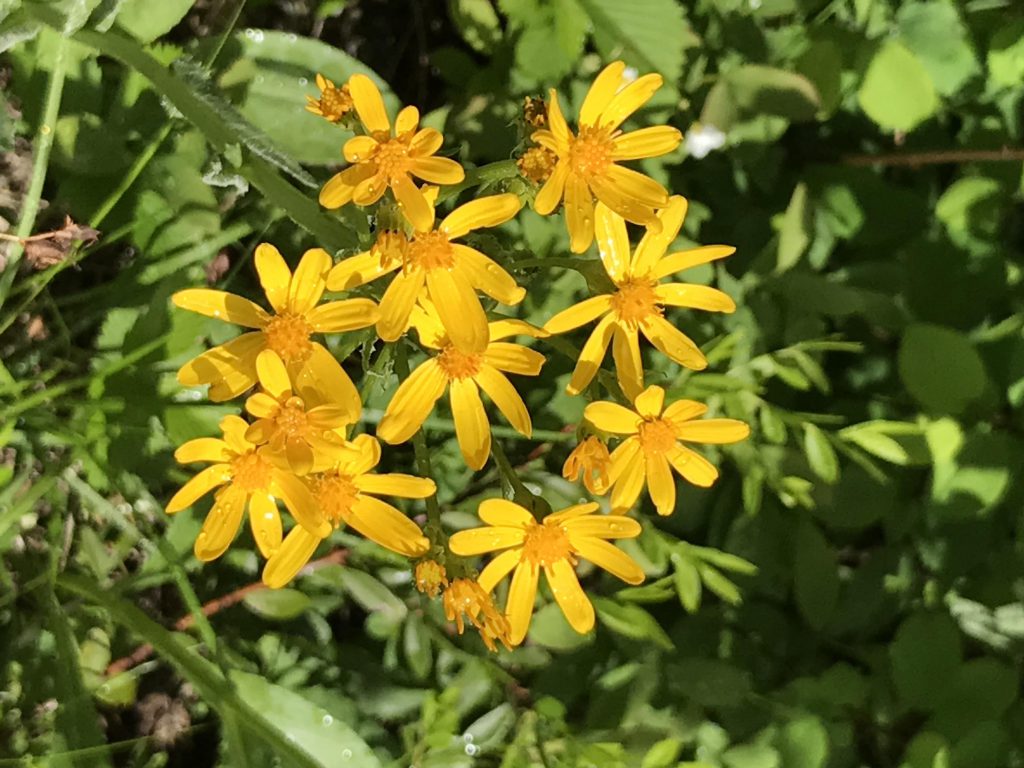
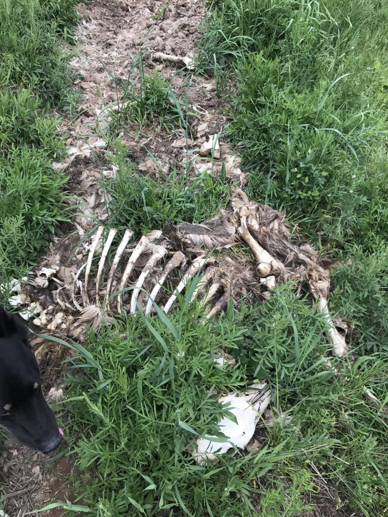
From the trailhead near the St. Joe river, the path heads uphill towards Avery at a steady incline, covered with rubble and loose rocks, and lightly shaded by open fir forest. Soon the trail switchbacks and turns eastwards, while continuing to climb. This time of year, the trail is hemmed in by pretty wildflowers, among them wild roses and many kinds of fern. We encountered the “obligatory” carcass along this section of trail, but it proved to be far from the last one.
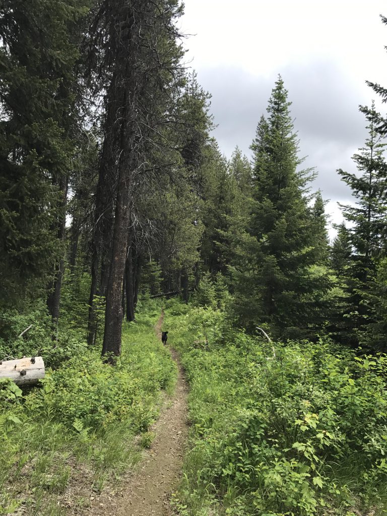
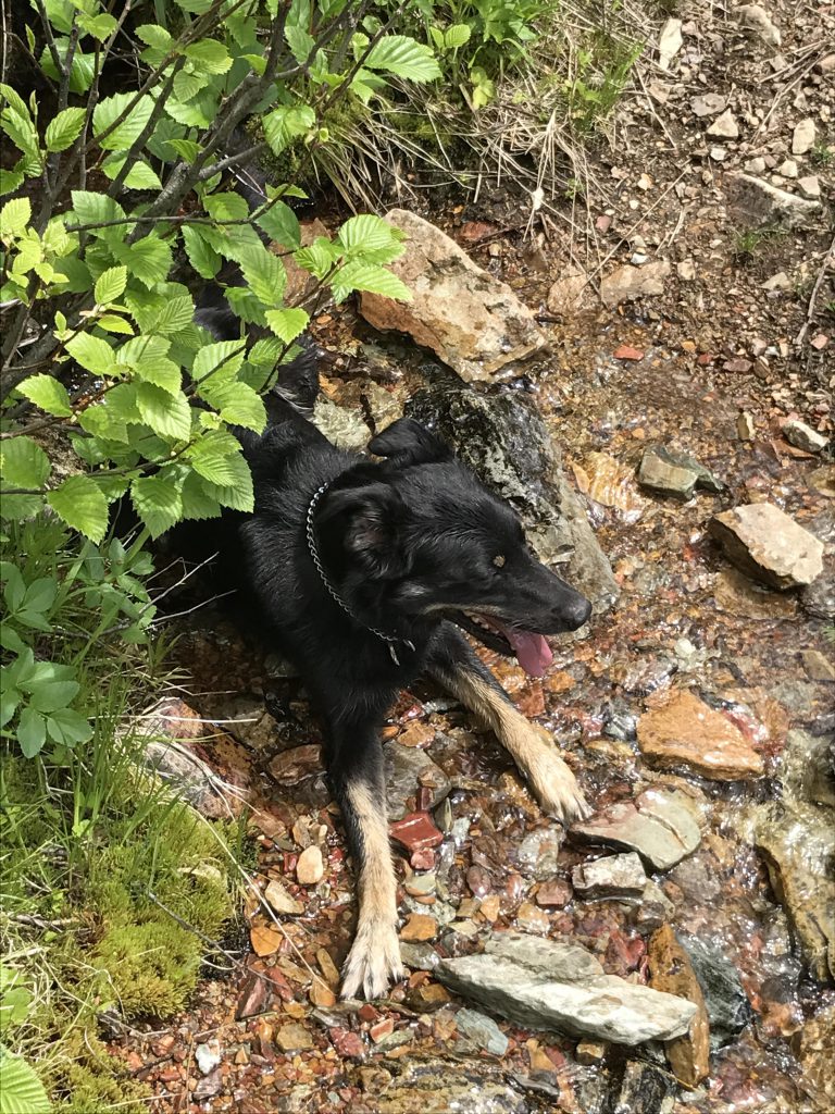
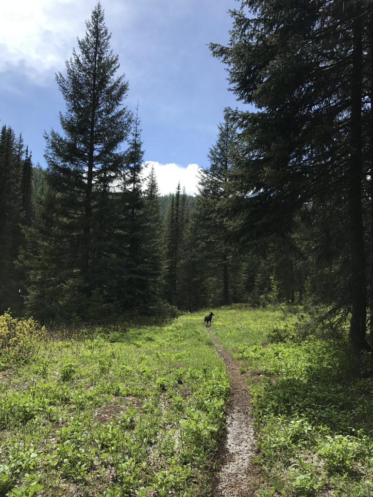
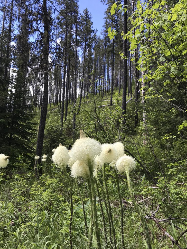
Shortly past the 1-mile mark the trail reaches the Nelson ridge with view towards the hamlet of Avery. The trail, a single-track of packed dirt now, then flattens out for a bit, and the wildflower galore continues, supplemented with beargrass at the higher elevations. Ground squirrels thrive here, judging by the burrows, which Naughty tried to dig up. The trail follows the ridge fairly closely, though dropping to one side or the other every so often, and is nicely cooled by a canopy of fir and pine.
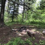
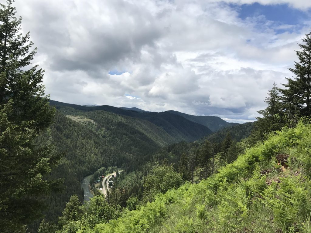
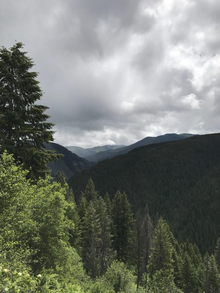
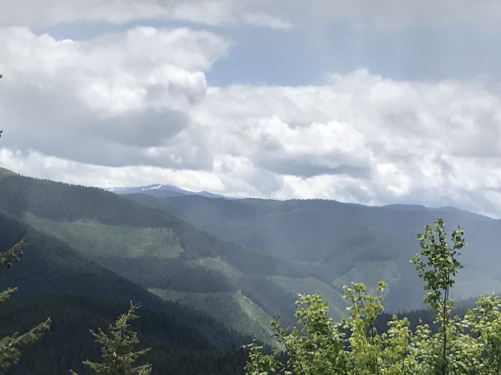
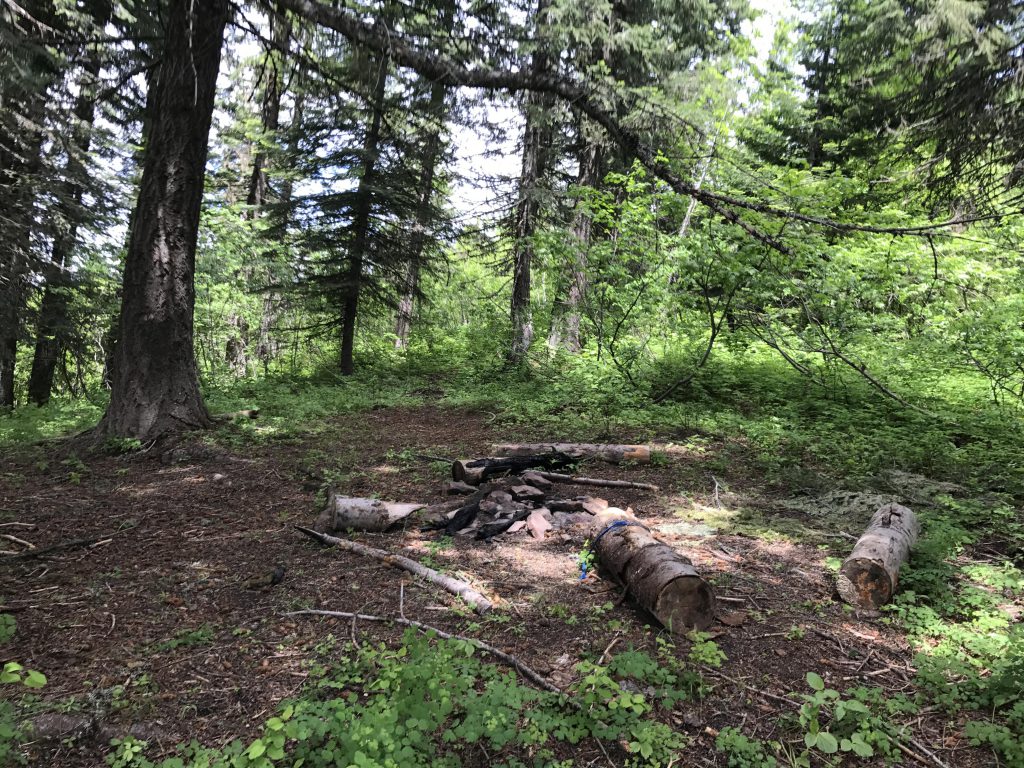
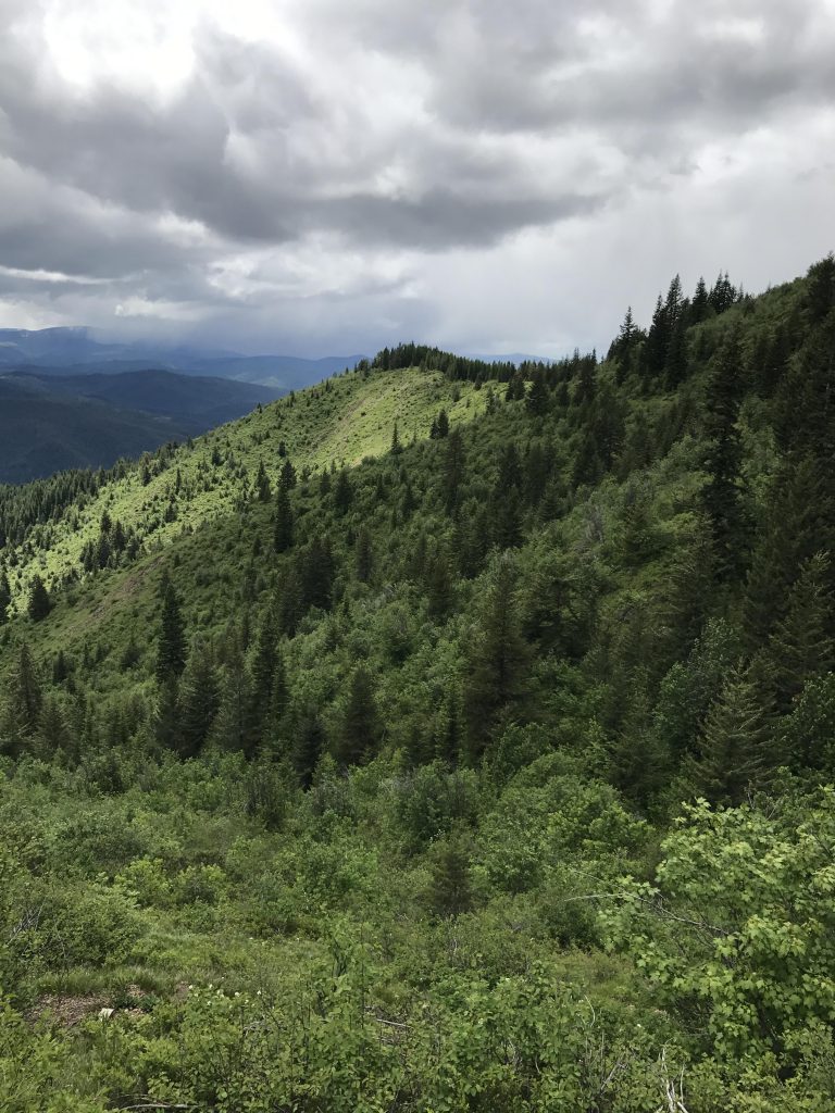
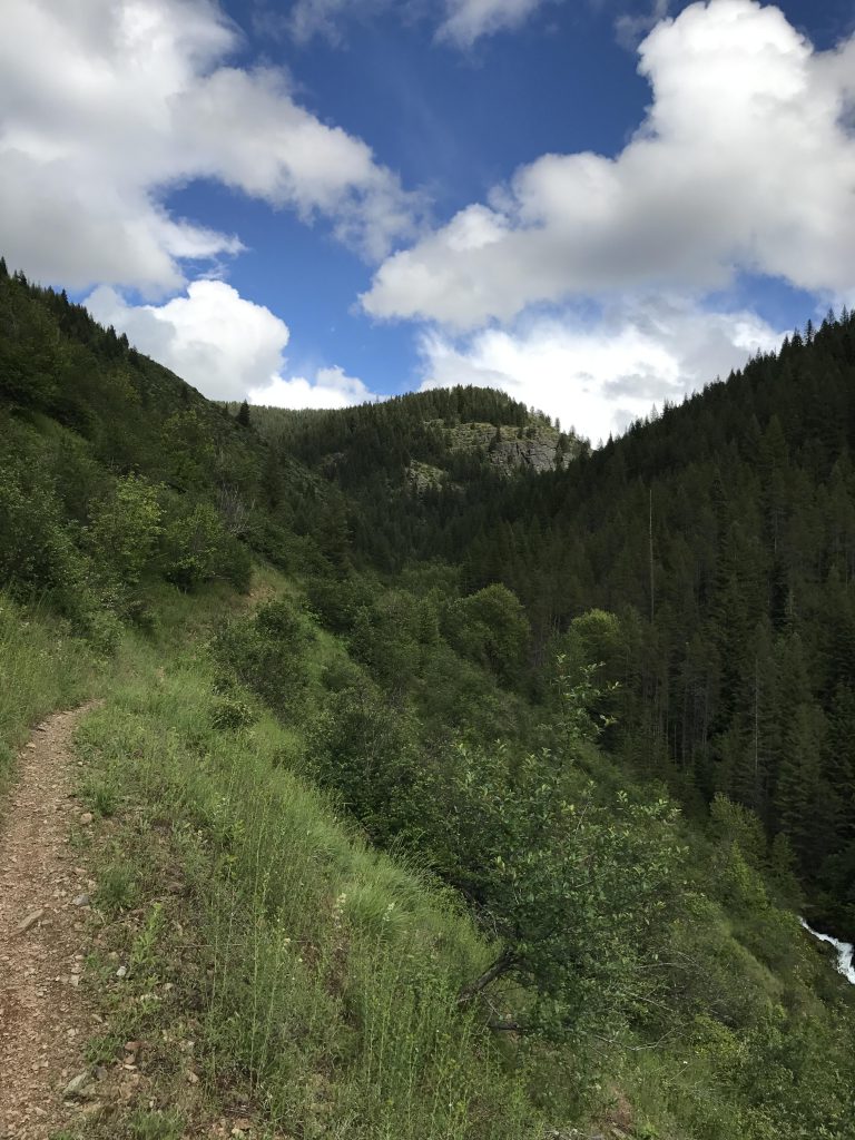
Around 4 miles into the hike there is a well-shaded campsite in the woods, albeit dry. Shortly afterwards the trail moves away from the ridge and traverses Nelson Peak’s east face. This is a very open area, likely from clear-cut logging, with sweeping views of the snow-capped Clearwater Mountains. You’ll also see the checkerboard of logging on the opposite hillsides.
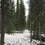
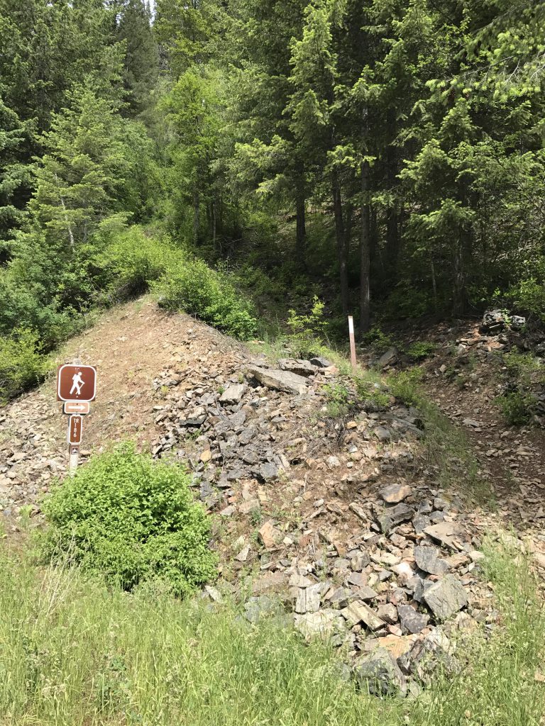
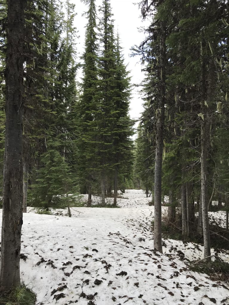
There are a couple of small brooks along this traverse, but come August these are likely dry. Around the 5-mile mark you’ll come upon the intersection with Packsaddle Trail #26, which drops down to the St. Joe River Road in about 3 miles. There is a decent campsite just following the fork, but it is dry. Stay on the Nelson Ridge Trail, which will head upwards and regain the ridge in another mile or so. The ridge is covered with a dense pine forest that harbored a few patches of late snow at an elevation of around 5,800 feet. In the shadier sections these were about two feet deep and at some point even extended out so far that the trail could no longer be identified. To top it off, it started to snow very very lightly, but luckily it ended as soon as it started.
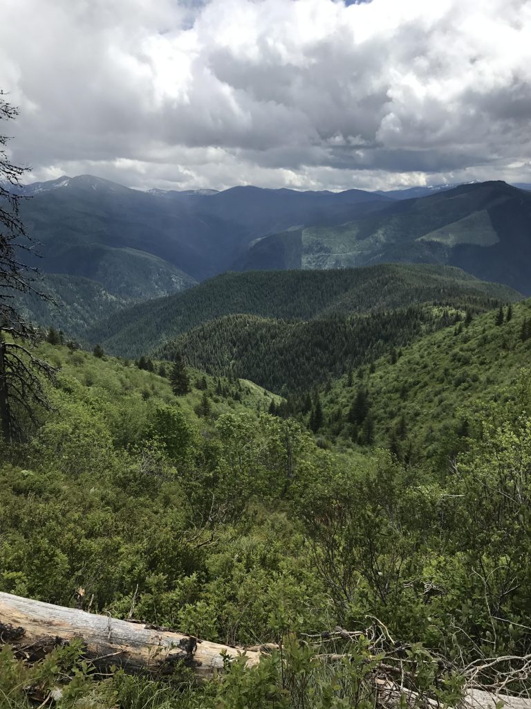
The walking is pleasant along this ridge, with frequent views to the east, where we saw billowing black clouds accumulate. Around the 7-mile mark you’ll come to the fork with the Telichpah Creek trail. Striving for political correctness, the forest service renamed Squaw Creek into Telichpah Creek. Evidently, the local administrators didn’t get the memo, for the signage still refers to the trail as Squaw Trail #196 and its end point as Squaw Creek Campground. The older USGS and USFS maps also refer to the trail and creek that way. Continuing on the Nelson Ridge trail will eventually get you up to Shefoot Mountain, and from there you could traverse the ridge on trail #189 to Big Dick Point, which, by the way, escaped the naming purge unscathed. From Big Dick you could take trail #501 (White Woman trail) back down to Telichpah Creek.
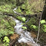
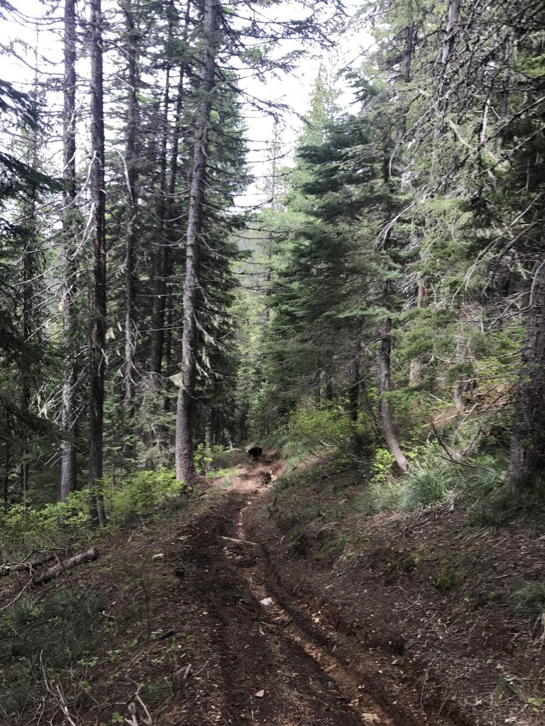
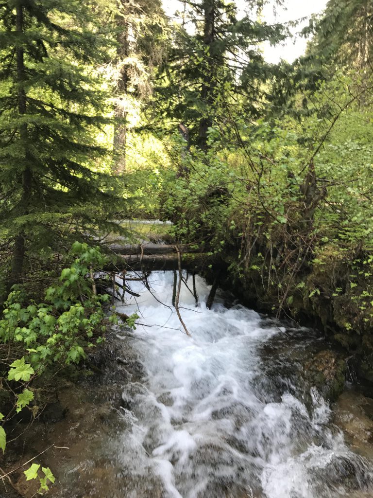
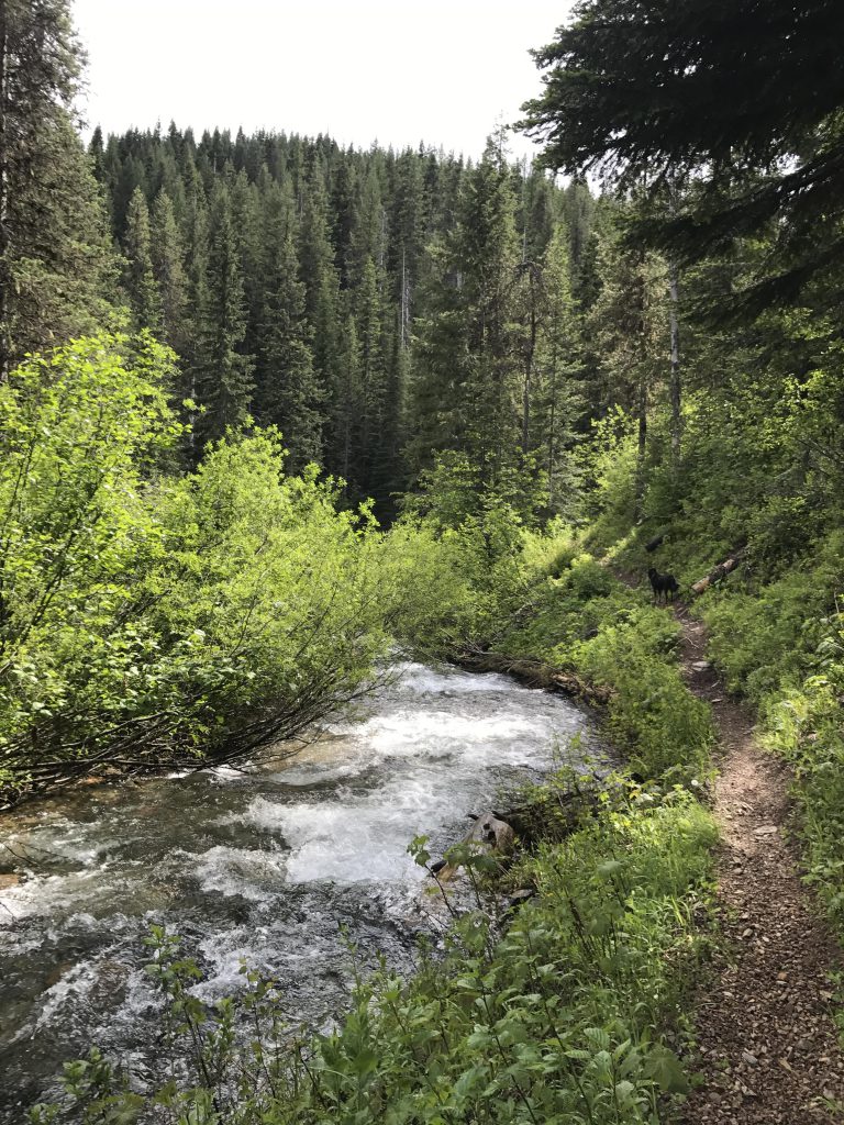
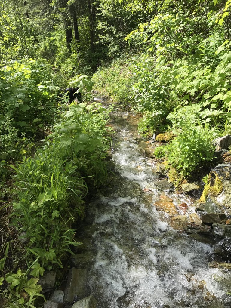
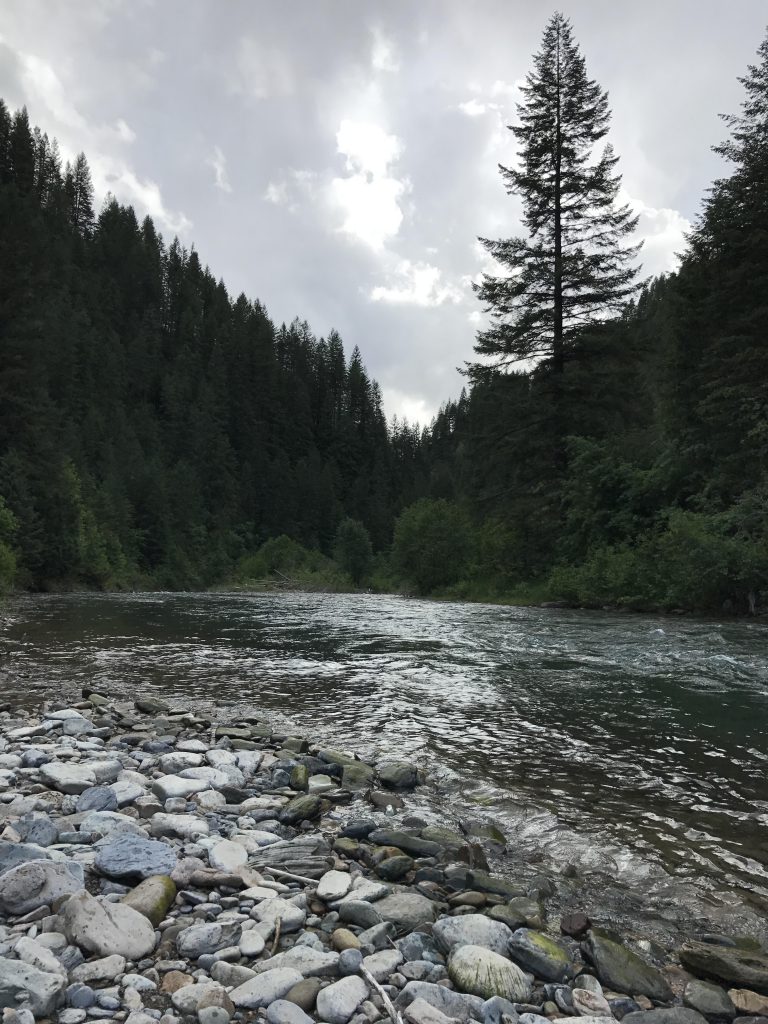
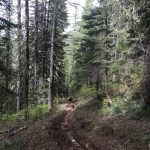
The likelihood of substantial remnants of snow on Shefoot Mountain at an elevation of 6,300 feet, coupled with the dark clouds over the Clearwater Mountains, convinced us to bypass the higher peaks in favor of Telichpah (aka Squaw) Creek trail #196. This trail plunges steeply downhill and has seen a fair bit of motorbike traffic (though none while we were out there), resulting in deep rutting in the topmost section. After the first switchback, the trail levels off and meets up with Telichpah Creek. This creek needs to be forded about six or seven times over the next few miles. The first crossing occurs around the 8-mile mark and is not really a problem as the creek is quite small this high up and there are plenty of logs to ease the endeavor.
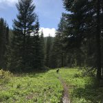
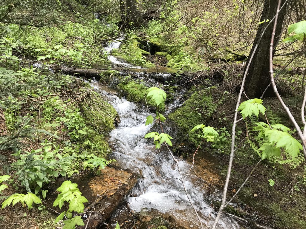
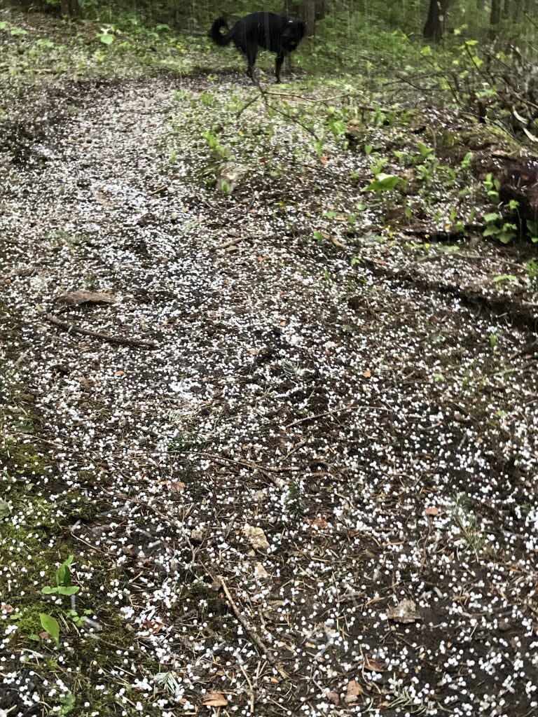
Immediately after the crossing, the clouds above us burst and we got inundated for the next quarter hour with pea-sized hail. Hail and fordings aside, this creek-side walk is actually exceedingly pleasant, nicely forested and interspersed with occasional mountain meadows. Around the 10-mile mark, you’ll meet up with (as in, cross) White Woman Creek. At this point, crossing the creeks requires wading, with Telichpah Creek about knee-deep. Shortly after crossing White Woman Creek you’ll stumble upon the fork with White Woman Trail #501, which heads up to Big Dick Point in 2 miles. Continue on the Telichpah Creek trail instead and be treated to another creek crossing…
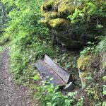
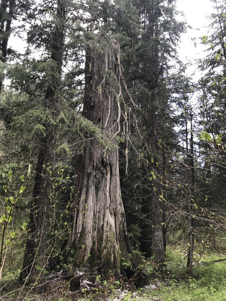
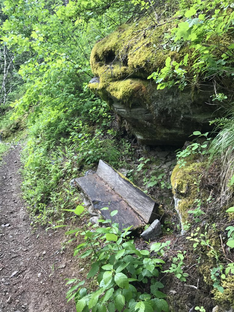
The forest gets a bit thicker now, with a few western red cedars tossed in for variety, but you can still make out the sheer cliff walls of Big Dick on the opposite side of the creek. The trail drops steadily, but not as fast as the creek, and just before the 11-mile mark the path switchbacks for a bit to get down to the creek level. There is a rustic bench there for the wary, and an even more welcome bridge across the creek for the wary-of-fordings (the Scribe’s feet were soaked). The creek is fairly torrid at this stage, so the bridge is appreciated.
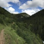
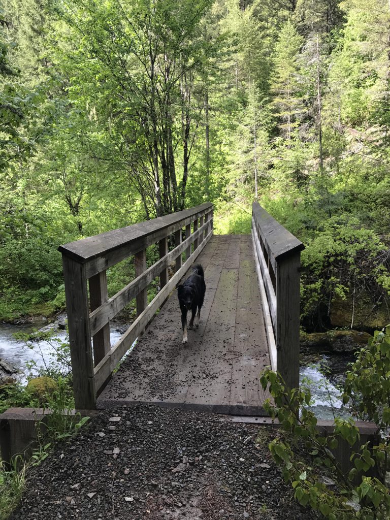
The trail continues high above the northern shore of Telichpah Creek and with the forest soon receding grand views into the St. Joe Mountains to the west open up. Over your shoulder you catch a glance at the sheer rock face of Big Dick. The trail then declines once again to the level of the creek, which needs to be crossed one more time, again via a bridge, and soon after you reach Telichpah Creek Campground (formerly Squaw Creek Campground), a car campground.
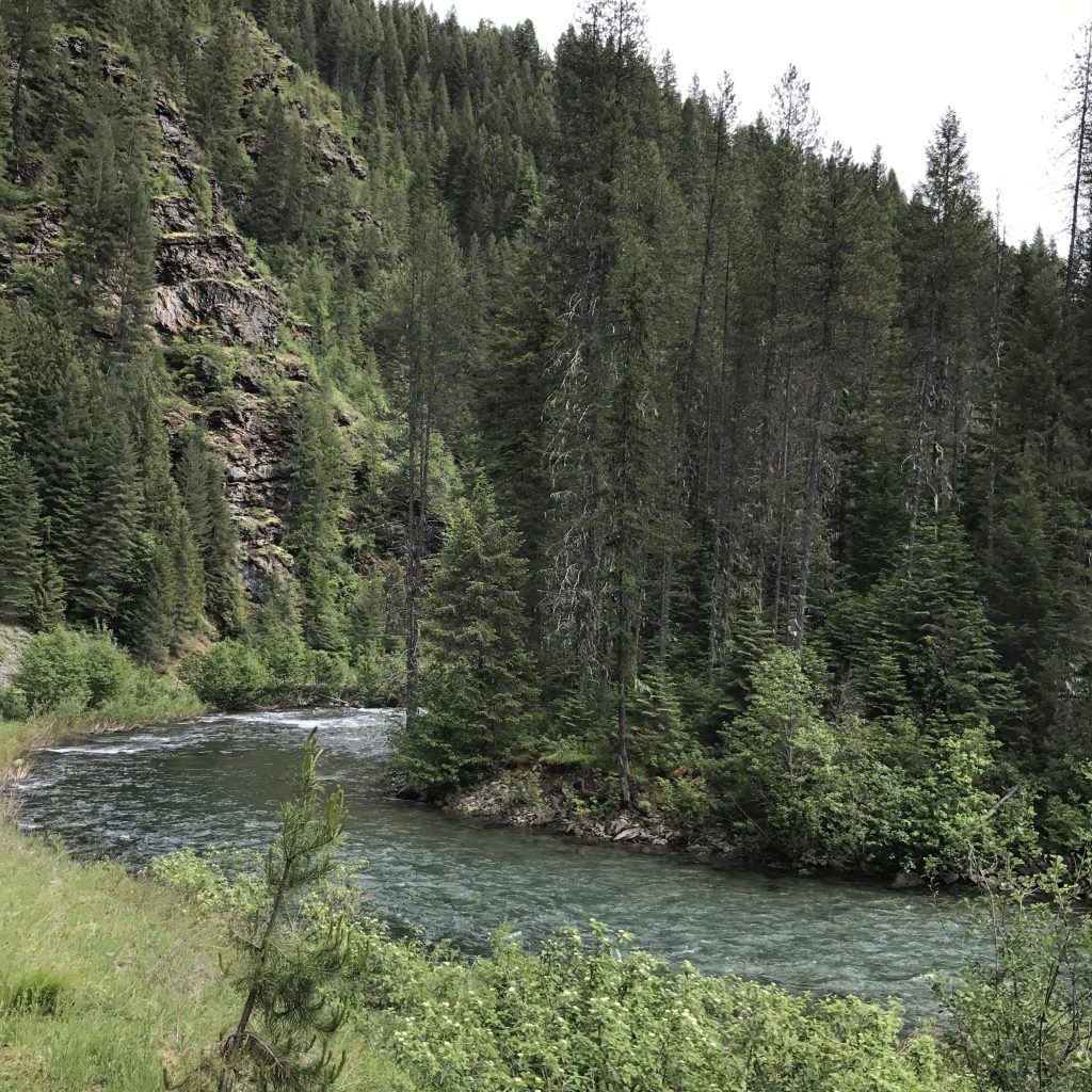
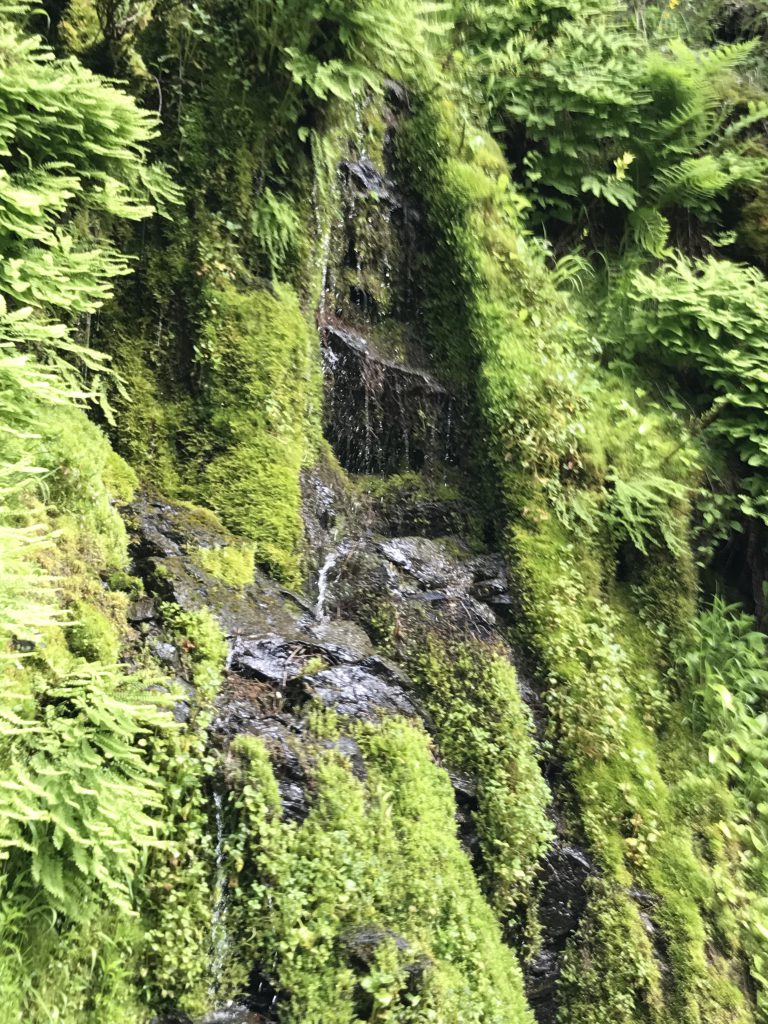
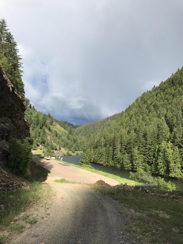
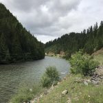
Bear left at the campground, traversing it, and take the dirt road paralleling the North Fork of the St. Joe on the eastern side (don’t cross the North Fork). Cars and ATVs are allowed to use this road, but this is not likely as FR #456 on the other side of the North Fork is much wider and well-graded. We met neither vehicle nor people along this stretch. It parallels the river for about five miles, at first fairly closely, then rising up a bit for elevated views, especially when you look back towards the campground. To the left the road is bordered by a steep rock wall, dissected in places where tributaries carved out notches and entirely carpeted with dripping mosses in others.
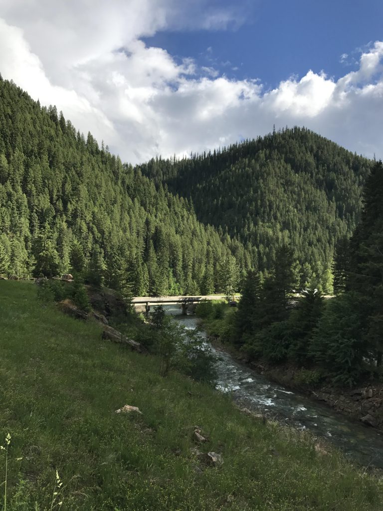
The dirt road emerges onto the St. Joe River Road near the confluence of St. Joe and North Fork. From there it is less than a quarter mile on the St. Joe River Road back to the trailhead.
Alternate Routes
- Continue on trail #186 to Shefoot Mountain, then take trail #189 to Big Dick Point and the White Woman trail (#501) down to the Telichpah Creek trail (#196). Or, continue on #189 from Big Dick all the way to FR 456 if you have a shuttle car.
- If you have 2 cars leave one at Telichpah (aka Squaw Creek) campground. This will shave off a good five miles
Things to Consider
Not so great