- Bitterroot Mountains
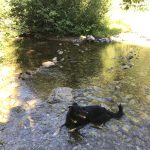
- At any of the lakes and the trailhead
- Excellent, except for the climb up to the stateline (no trail) and descent to Copper Lake (overgrown with spruce saplings)
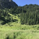
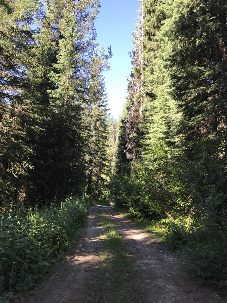
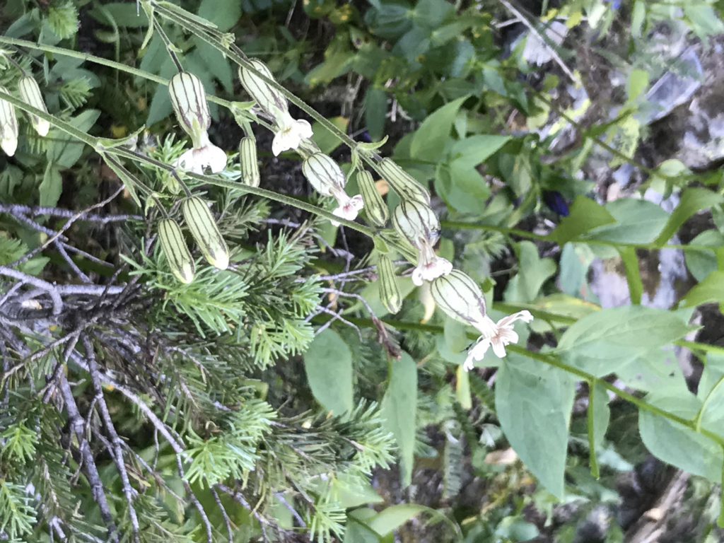
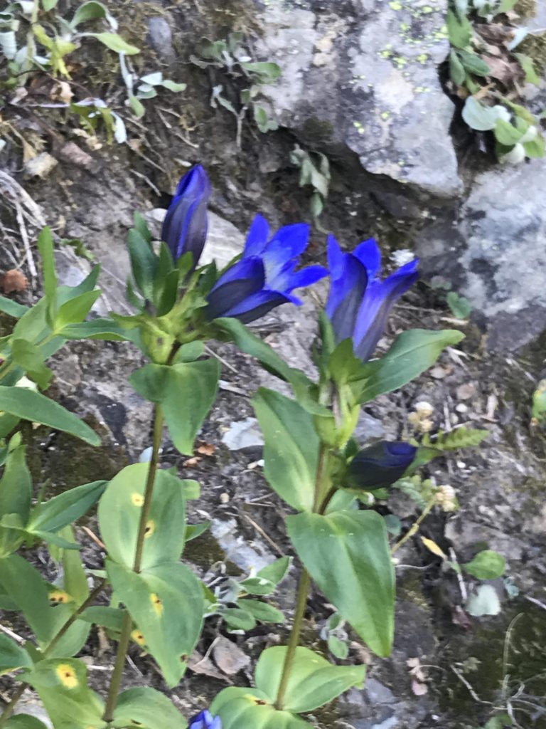
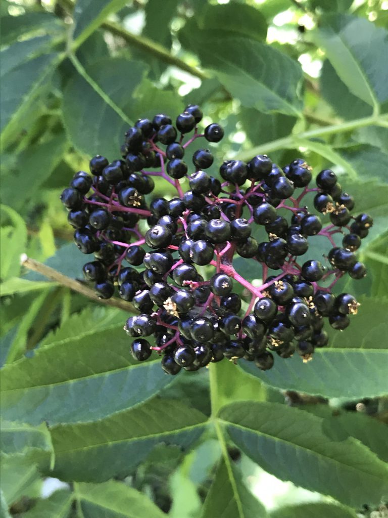
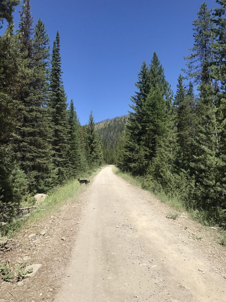
From the trailhead, take either the unmarked double-track or FR #18591 westwards, across the Nor-Pac rail trail to the upper trailhead. It isn’t quite 1.5 miles to that upper trailhead, and either trail is easy walking through light forest with a pretty understory of huckleberries and a couple of creek fordings. About halfway to the upper trailhead, shortly past one of the fordings, the two roads converge. There is a fork in FR #18591 at some point; bear left. If you drive to the upper trailhead (a high-clearance vehicle is recommended), you’ll find parking for maybe four or so cars. Then the trail turns into a single-track, heads southwestwards into the woods, but quickly changes tact, shifts northwest and crosses St. Regis Creek. Then it’s a pleasant hike up the flank of the ridge dividing the St. Regis drainage from the Stevens drainage. That section is only partially forested and leads through many open meadows splotched brightly with wildflowers.
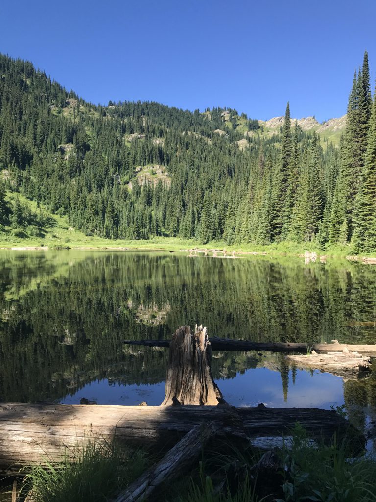
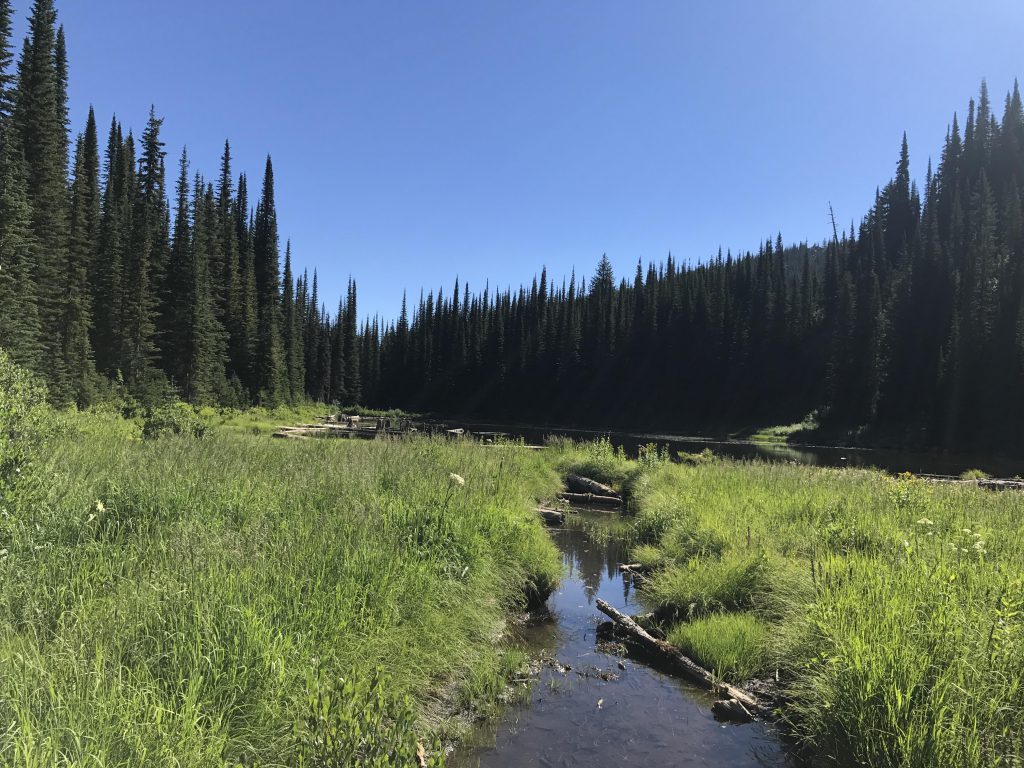
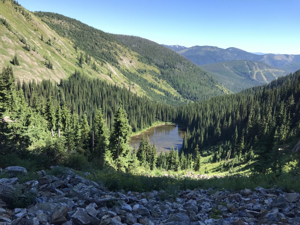
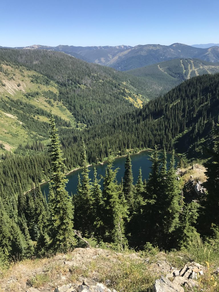
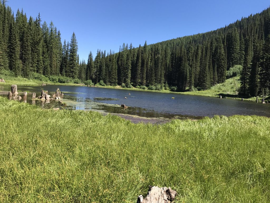
You’ll reach the lower St. Regis lake after about 3 miles, the last bit zigzagging up a steep hillside that’s nicely shaded. There are excellent campsites along the northern edge of the lake. The path gets a bit dubious as it moves along the lake, but it should be easy to find nonetheless, and once it moves into the woods becomes wider as it approaches Upper St. Regis. That lake is a bit boggy, and the best campsite is in the woods just before you get to the lake.
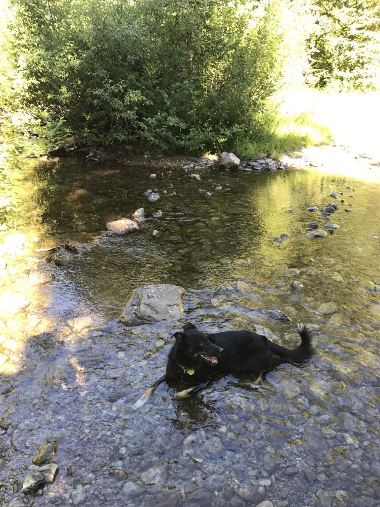
You can probably circle the lake either way; we chose the northern side, which featured a narrow overgrown path. It crosses the small inlet to the lake, a perfect spot to fill up water bottles before the ascent to the stateline ridge. There is no trail and so we selected an avalanche chute southwest of the lake that reaches up into the ridge beneath a large rock-outcropping. Most of that ascent isn’t too bad, with the shrubbery only about knee-high and halfway up is a rubble field that’s easily rock-hopped. The most challenging section is near the top, where the slope is almost vertical. Don’t forget to look down every so often to see Upper St. Regis lake getting tinier and tinier.
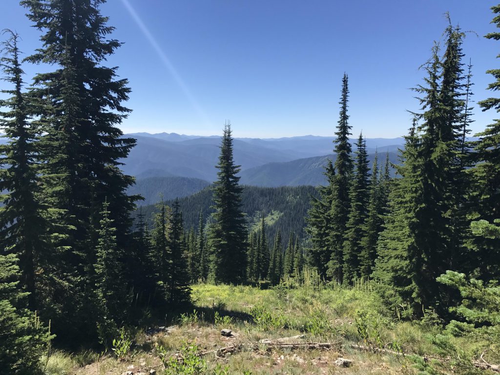
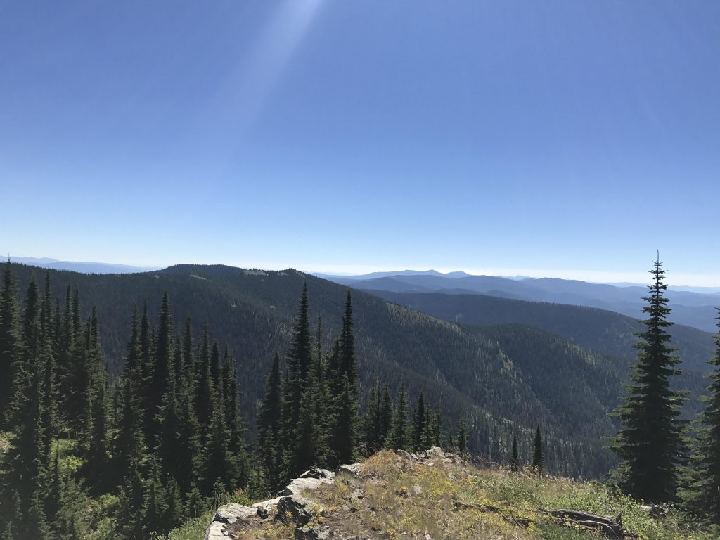
At the ridge-top the bushwhack continues, because the stateline trail is actually quite a bit lower on the Idaho side and you don’t want to miss the views from the knoll just east of the saddle you’ve climbed. Here you’ll see Upper St. Regis and the Montana ridges beyond, and on the other side you can see far into Idaho. Continue to the next knoll, and you’ll get a view of lower St. Regis lake as well. As you drop to the saddle below that knoll you’ll intersect the stateline trail, which is a wide double-track.
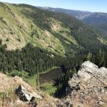
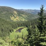
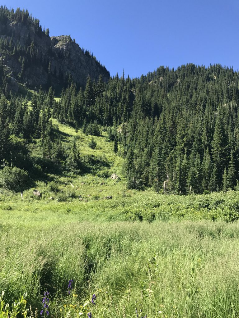
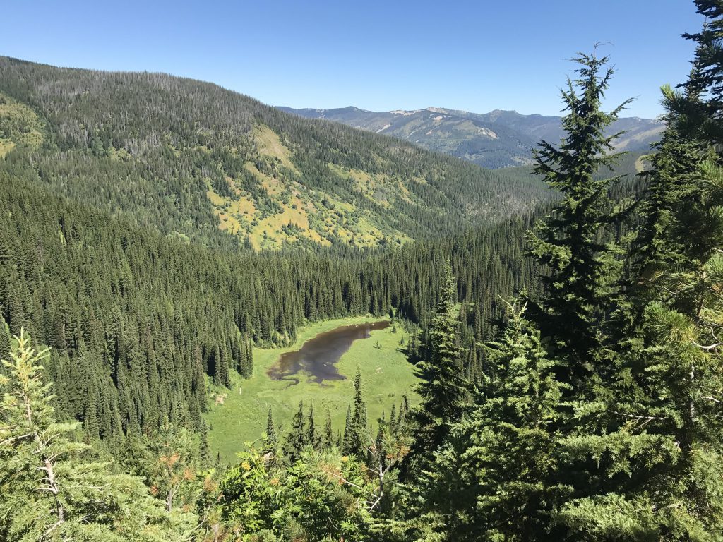
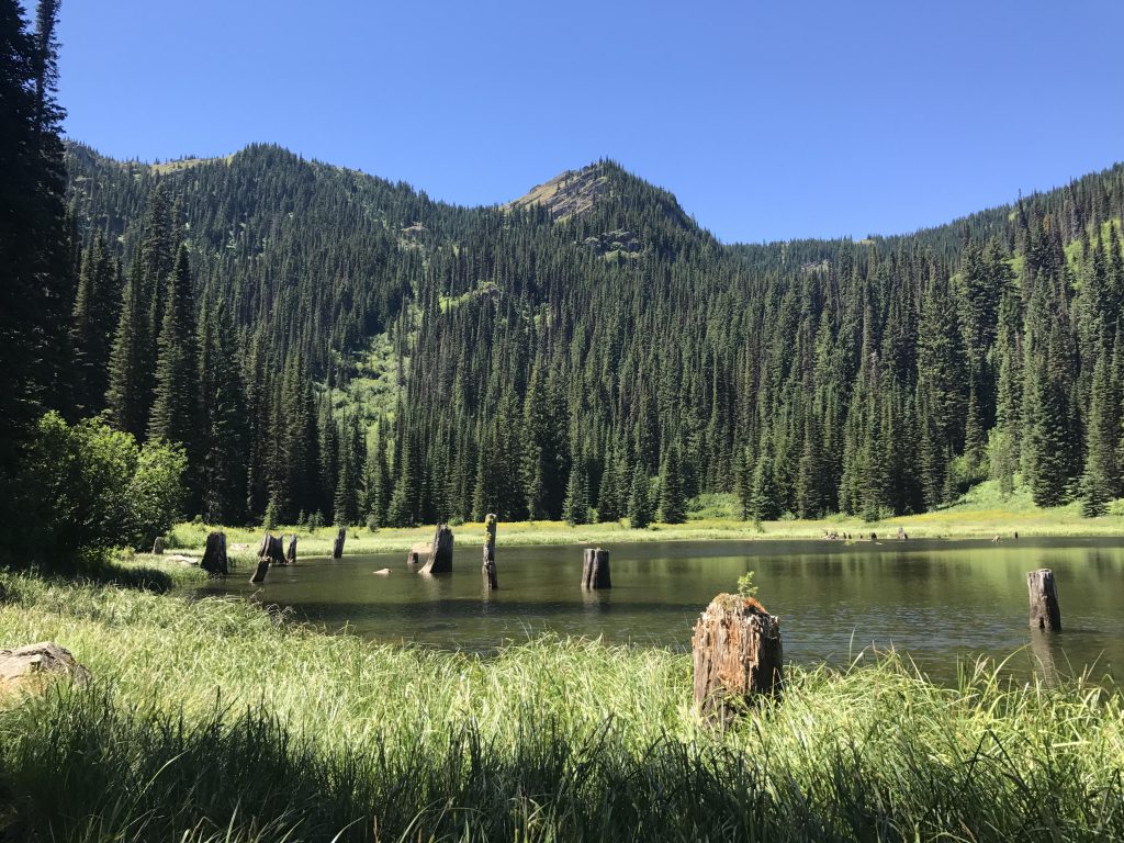
Follow that trail for a bit over a mile. At first it will head downhill, keeping to the Idaho side, then you’ll reach another saddle, very forested, but in some places you can bushwhack to the edge on the Montana side and spot a very marshy unnamed lake below. Then it’s uphill to an unnamed peak overlooking the Copper Lake basin (but you won’t be able to see Copper Lake).
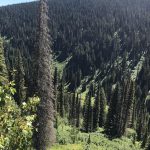
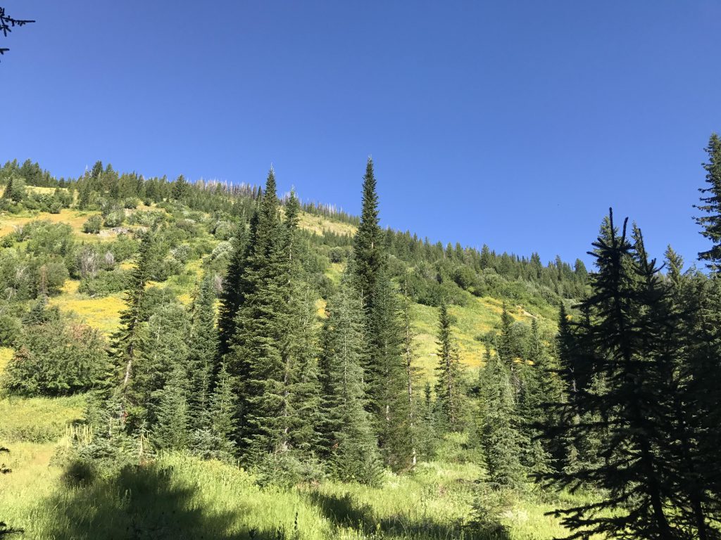
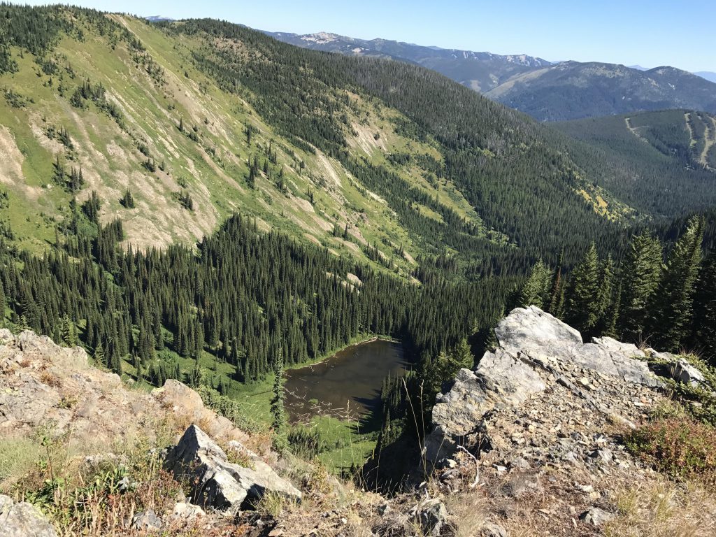
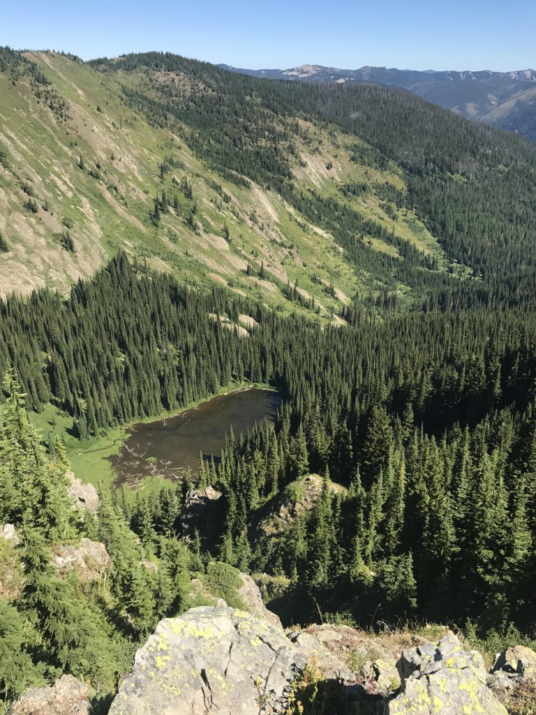
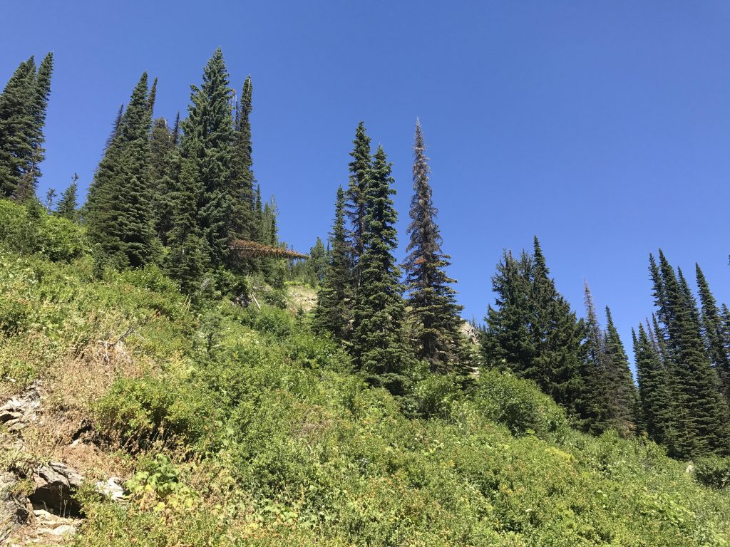
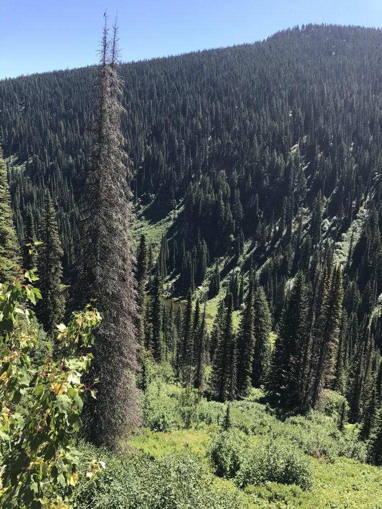
At the top of that peak (it is a flattish knoll, really) you’ll have to take the overgrown old road veering away eastward and soon you will discover that it is very smothered with spruce saplings. At first the saplings are only a few feet tall and interspersed with bare sections, but it gets worse and worse as you drop down towards Copper Lake. The “road” declines in sweeping switchbacks, and at one of the switchbacks we had enough and chose to bushwhack down a wide meadow full of beargrass instead of fighting the spruce trees. Great move! The only problem was the willows and mountain ash ringing the outer portions of the lake. They are hard to break through and many times harbor bears and cougars and moose and other unsavory characters. But none today, only lingering smells.
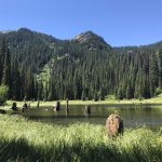
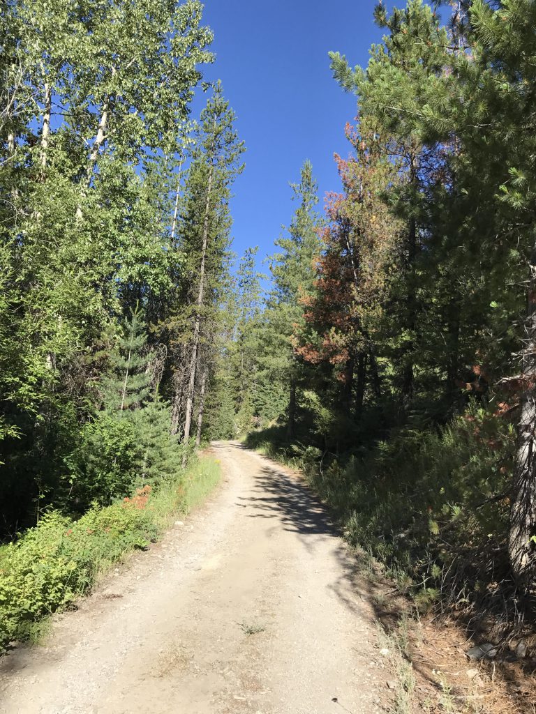
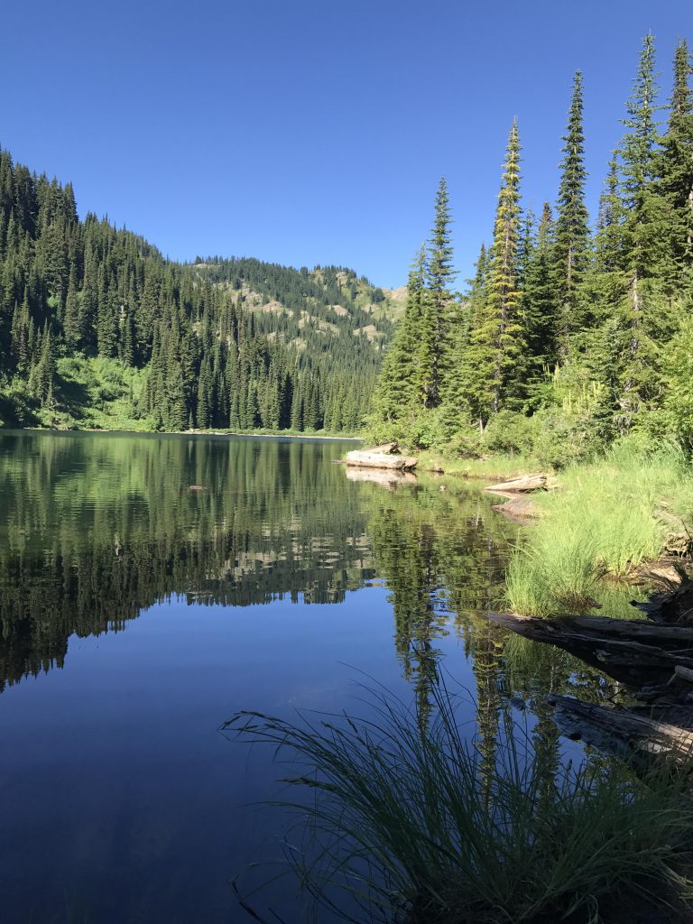
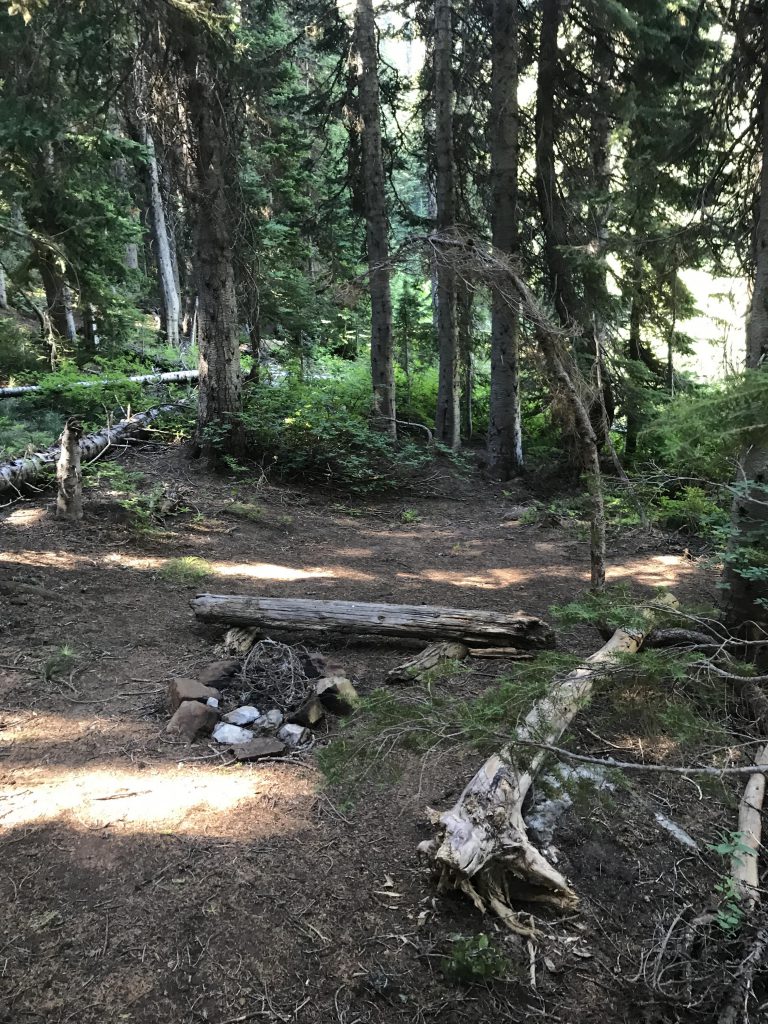
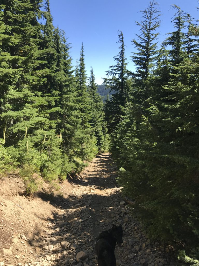
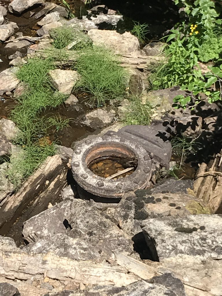
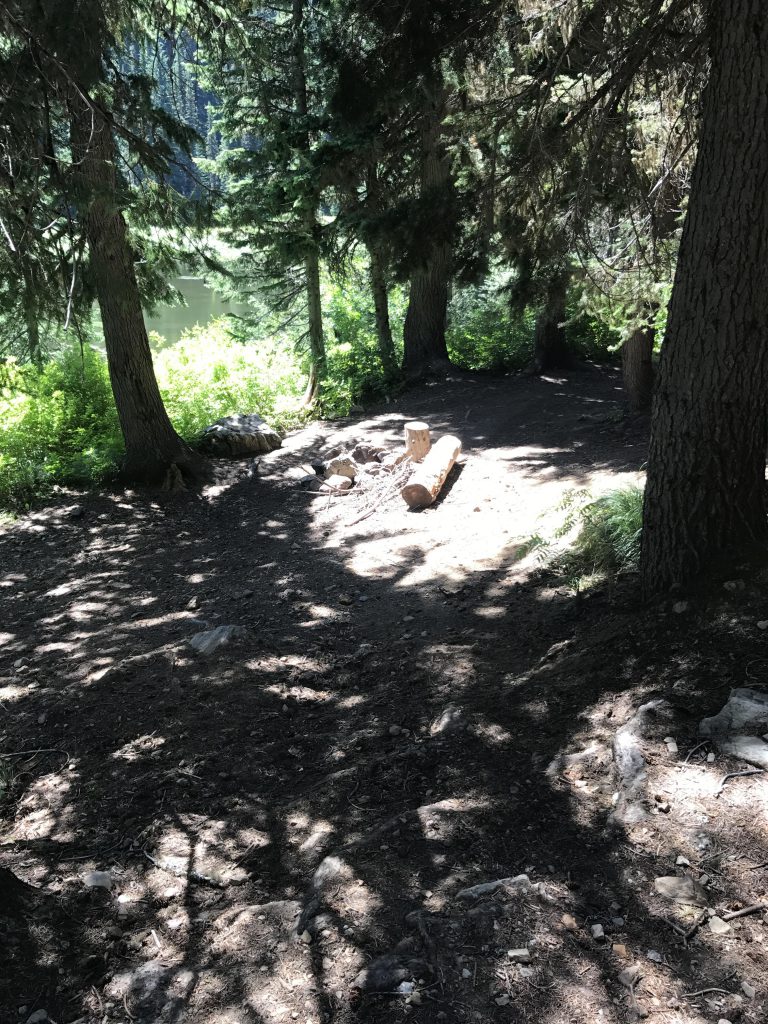
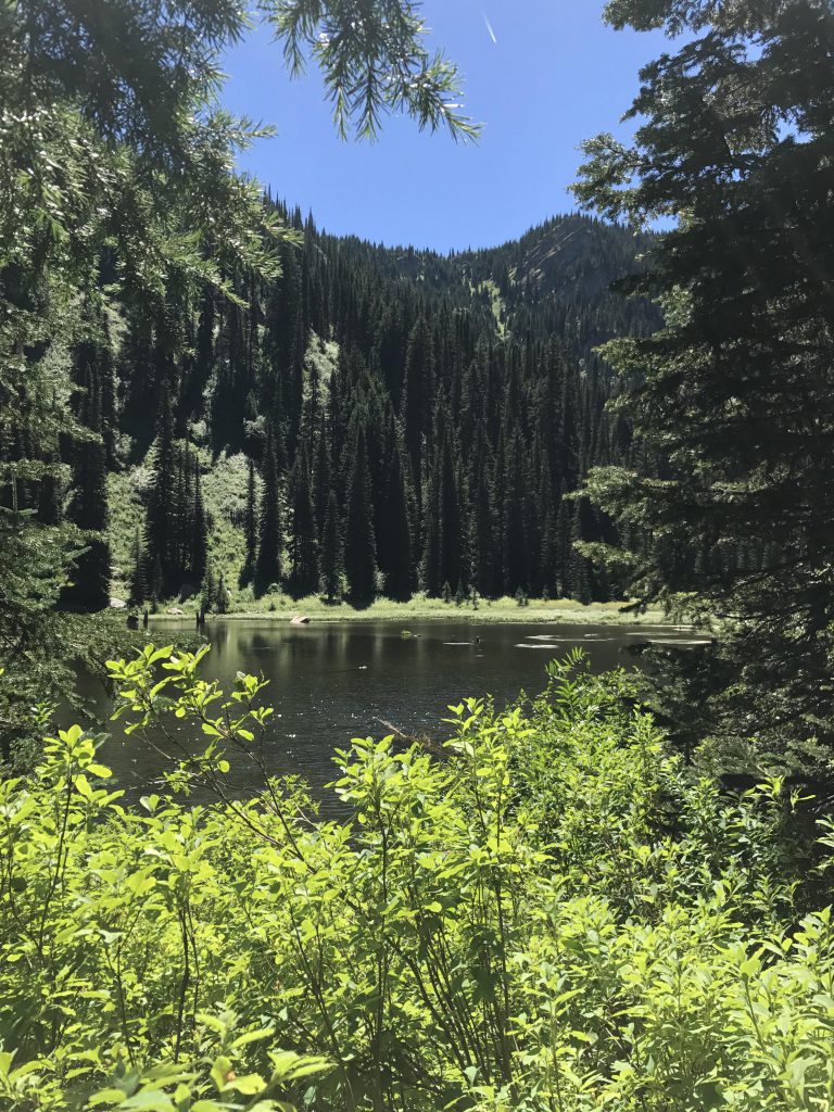
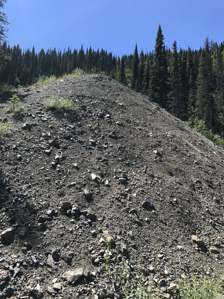
The lake is relatively easy to circumnavigate. The southern and eastern side is a bit boggy and probably a real mess earlier in the year, but quite alright now. The northwest side is easiest of all, with an old logging road that’s been maintained. It leads to the outlet and a number of excellent campsites right on the lake. Then it’s downhill along trail #265, which is well maintained as well and framed with thimble-berry bushes. You’ll also come to an old mine with giant piles of mine tailings. Around the 8-mile mark you emerge onto the Nor-Pac rail-trail. Take that northbound, then northeastwards until you see the primitive campsites in the gully below after about a mile. Drop down to those campgrounds and follow the double-track out to the trailhead.
Alternate Routes
- Skip the Copper Lake descent and instead continue north along the double-track, which will fork, with one branch heading west to the St. Regis Lake trailhead and the other east to the Nor-Pac trail
- Head west along the stateline trail to climb Stevens Peak or drop down into the Stevens Lake or Lone Lake basins. The Nor-Pac rail-trail connects those basins back to Lookout
- For the shortest hike to the lake, park at the upper parking lot and hike in on trail 267. That’s about 3 miles roundtrip
Things to Consider
Not so great
Enjoyed reading again, and looking forward to more!
My JRT and I did that loop in reverse a couple summers ago. Quite the bushwhack up from Copper lake until we hit an old roadbed!
Yes, that’s a tough climb up from Copper Lake. Glad we went the other way. Naughty had no problem, though, squeezing low through the spruce thicket
Excellent post and trip account!
Thanks! Wasn’t quite prepared for all the bushwhacking…