- Bitterroot Mountains
- There are great campsites at each of the lakes as well as in the woods halfway between the trailhead and Lower Stevens Lake
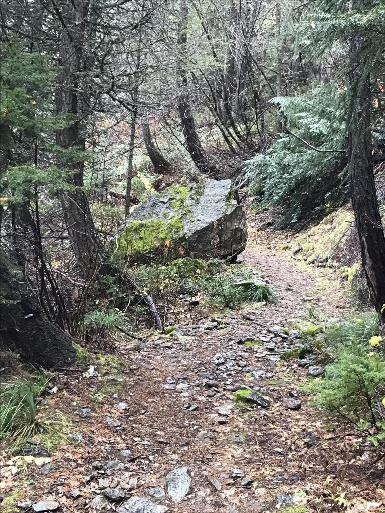
- The trails were in excellent shape, but bushwhacking was tedious, especially through the Upper Lone Lake area and the approach to Upper Stevens Lake. If there is a trail I didn’t see it, buried in snow.
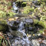
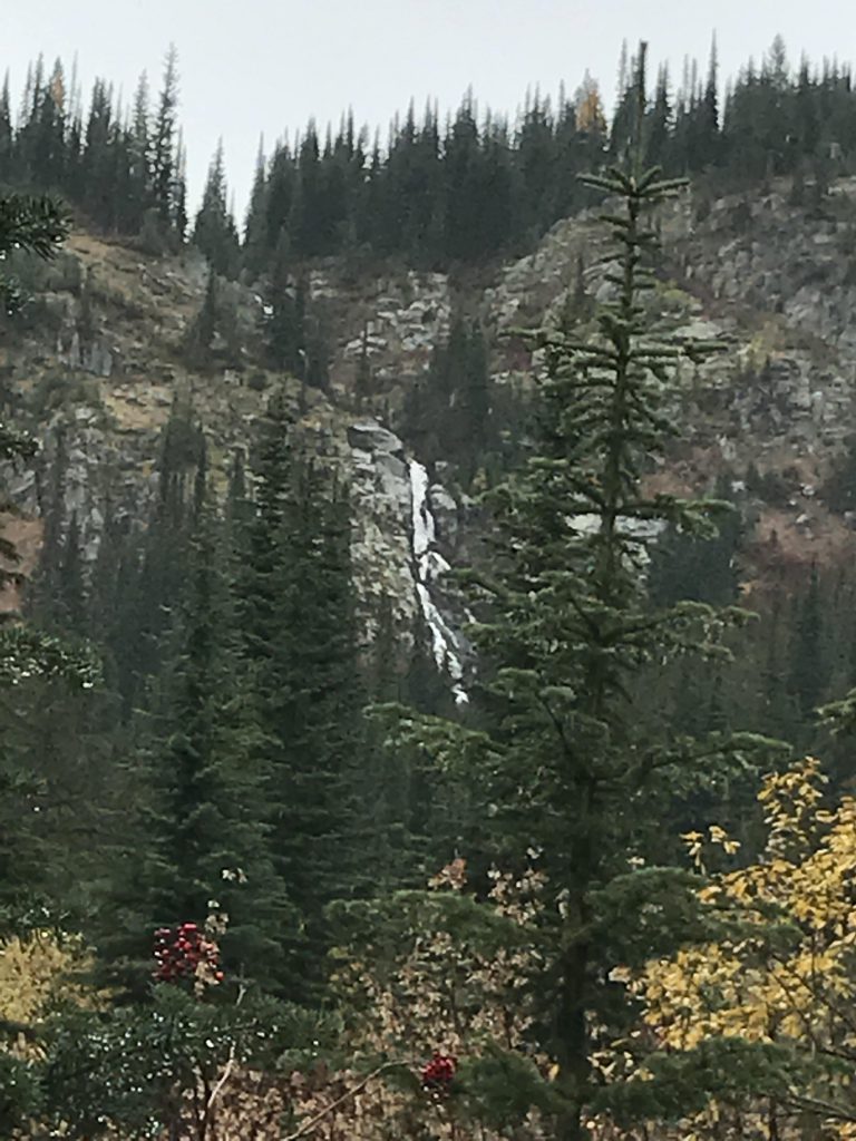
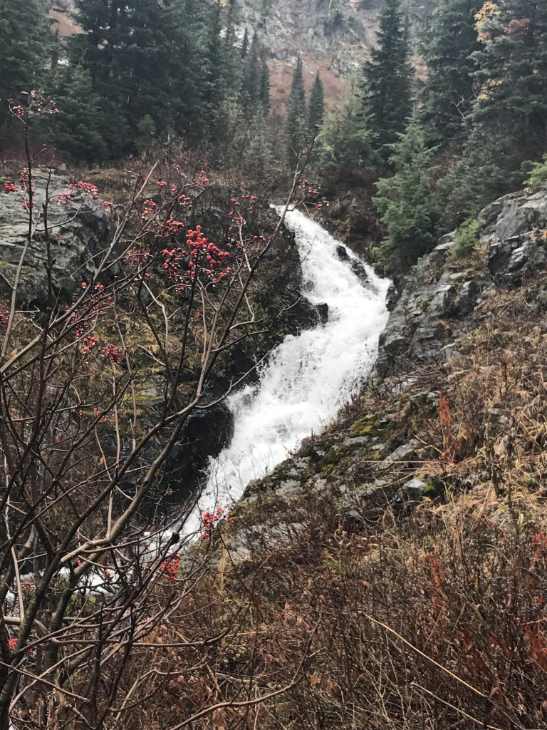
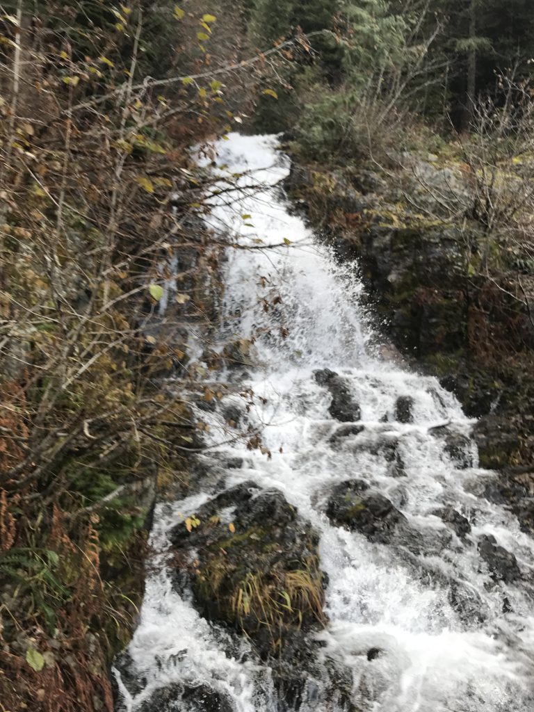
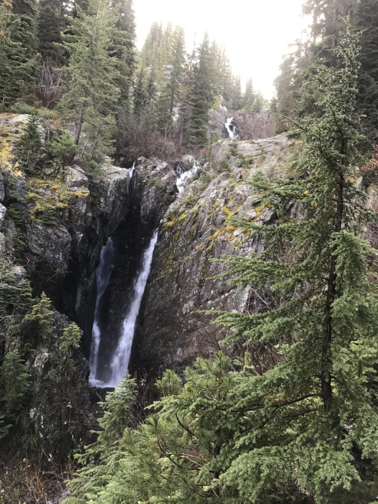
Following two weeks of virtually non-stop rain, the Scribe pointed at a precipitation-free weather forecast and threw his gear and me in the back of the truck. Don’t get me wrong, I was all for it, but the billowing black clouds over Lake Coeur d’Alene reminded me of the Scribe’s usual strategies of hope and wishful thinking. Promptly, by the time we crossed Wallace, we got caught in a downpour. Luckily, the rain exhausted itself quickly and when we arrived at the trailhead consisted of but a light drizzle. We started out on a logging road up West Willow Creek, leaving it behind at the third switchback, where we continued straight onto what appeared to be an old logging road, now washed out and designated FT #138. The trail continued at a steady incline through mostly pine and fir forest, accompanied by the thunderous roar of West Willow Creek far below. Roughly a mile from the trailhead the forest opened up onto a large bowl and the vista of a cascading waterfall breaking over a headwall in the distance. Crossing the bowl brought us close to the lower section of the falls, where a surge of water squeezed through a narrow chute.
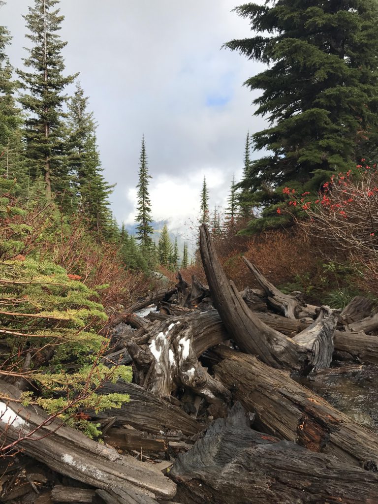
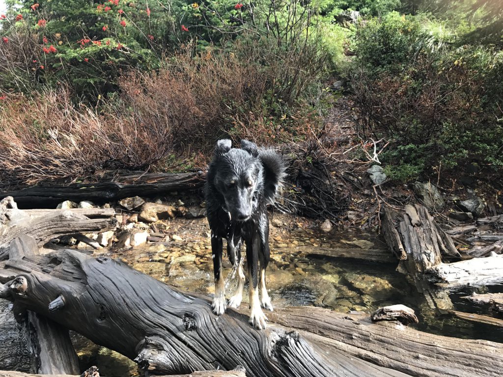
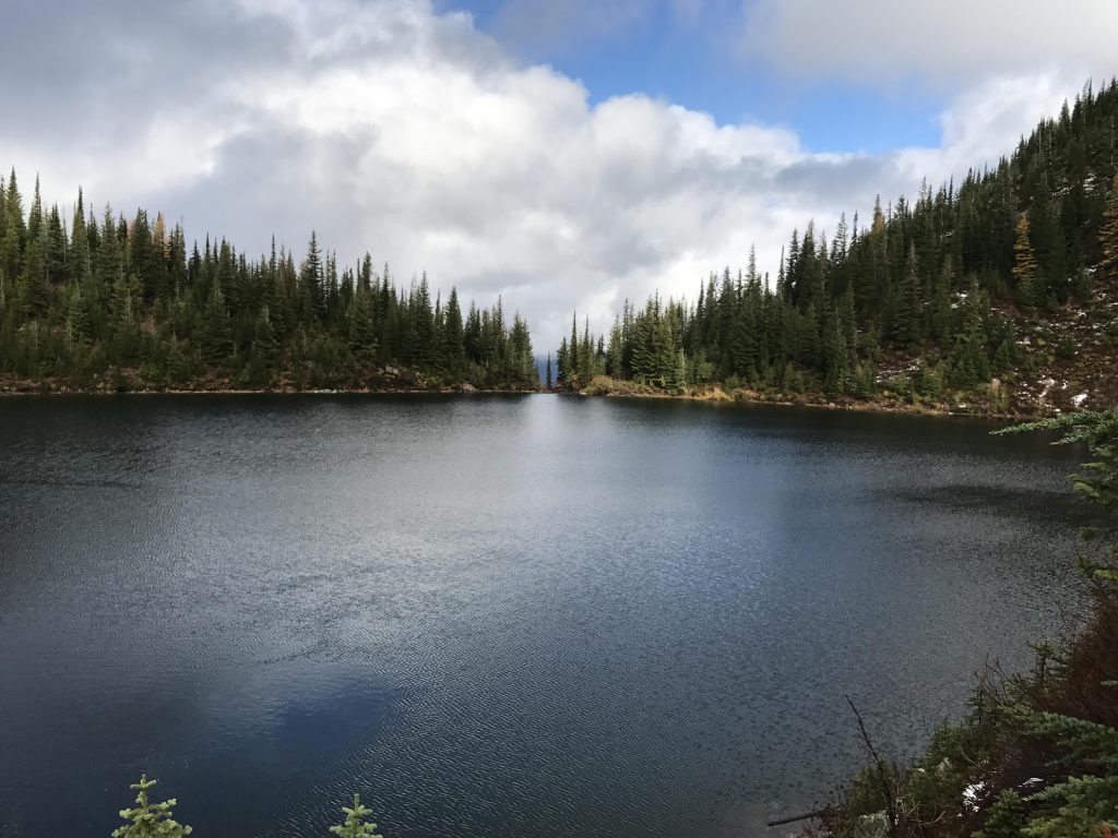
The trail, flooded by excessive rainfall and snowmelt, ascended the headwall in a series of switchbacks, but ultimately veered away to the right and climbed the western flank towards Willow Peak. Hugging the flank of the mountain, the trail then led back towards the creek, steadily gaining altitude and enabling grand views of the valley behind us, and eventually deposited us on the shores of Lone Lake. Time for a doggie bath
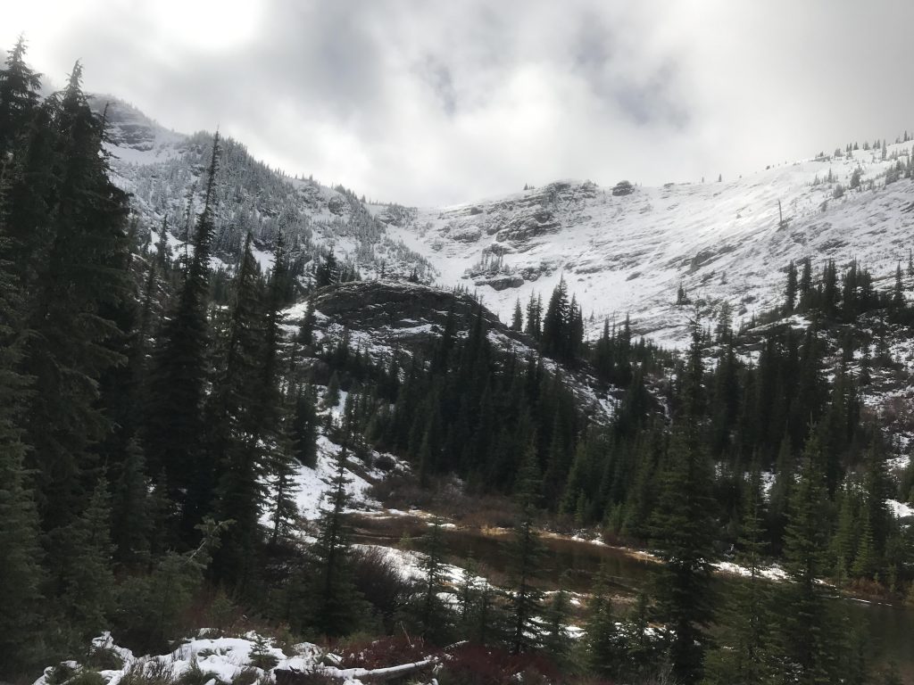
We skirted the lake along its western edge, that being bushwhacking. The shrubs and trees were soaking wet and it didn’t take long for the Scribe’s pants to be soaking wet, too. After crossing the lake’s inlet the bushwhack continued to the upper lakes and with the higher altitude came snow, wet and heavy. We ended up hiking in the actual creek bed, as it offered the easiest route. We followed the oval-shaped bowl of the upper lakes to its far end where the headwall rose by an imposing one-thousand feet almost vertically in front of us. The climb was tedious and treacherous, with the snow, ankle-deep at first, quickly rising to knee-deep, and that’s the Scribe’s knees, not mine! I let him take the lead and hunkered in his footsteps while he slowly and arduously clambered up the headwall.
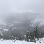
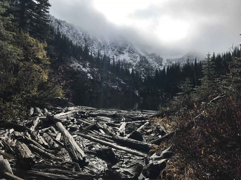
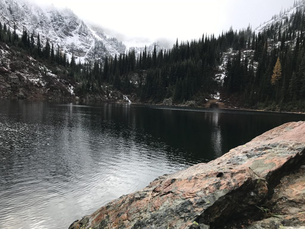
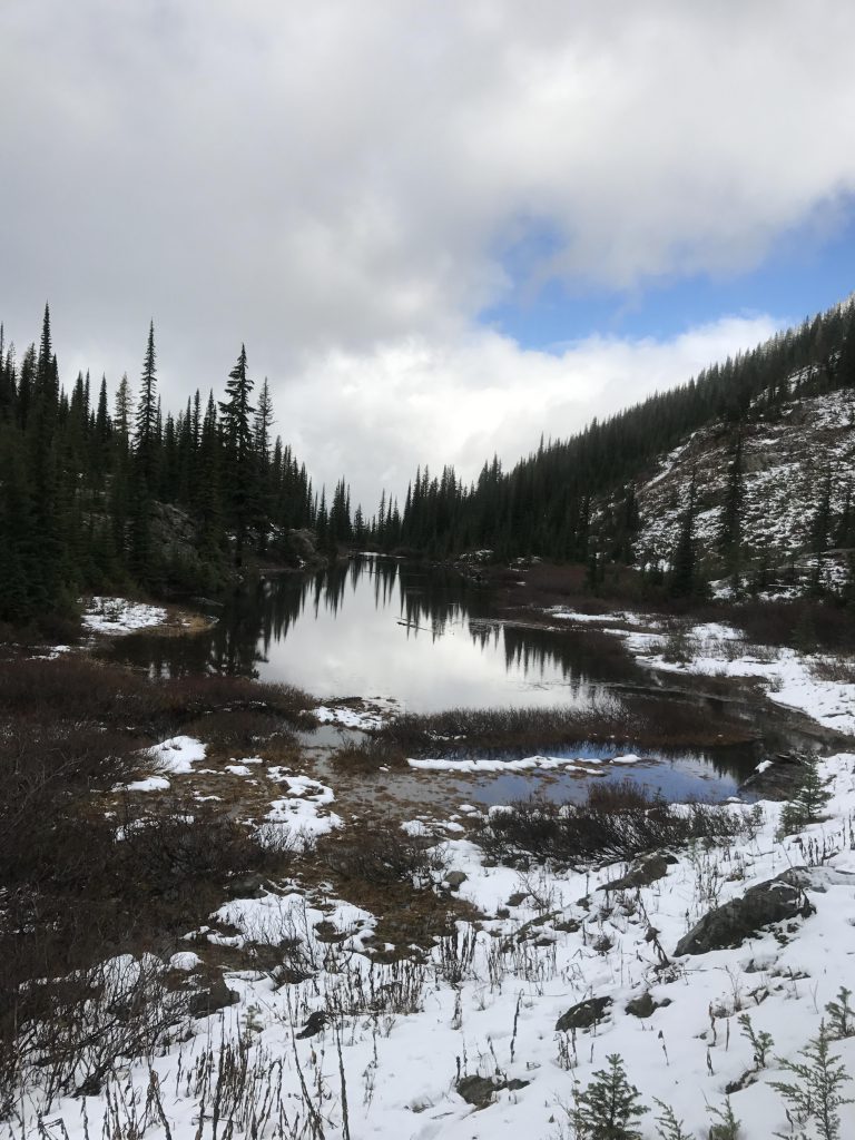
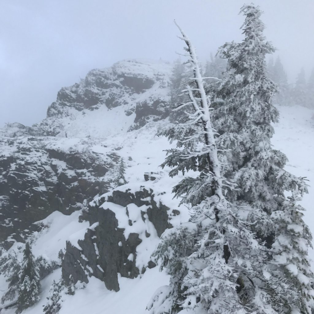
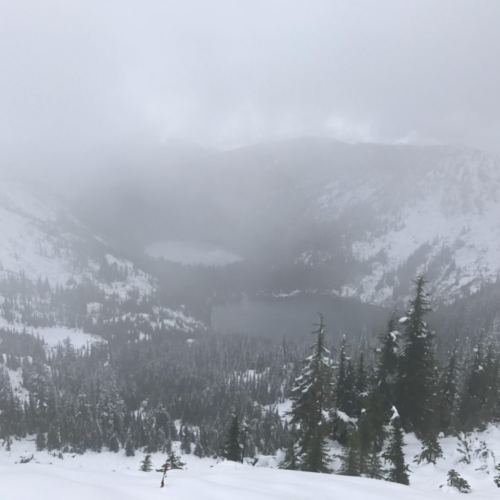
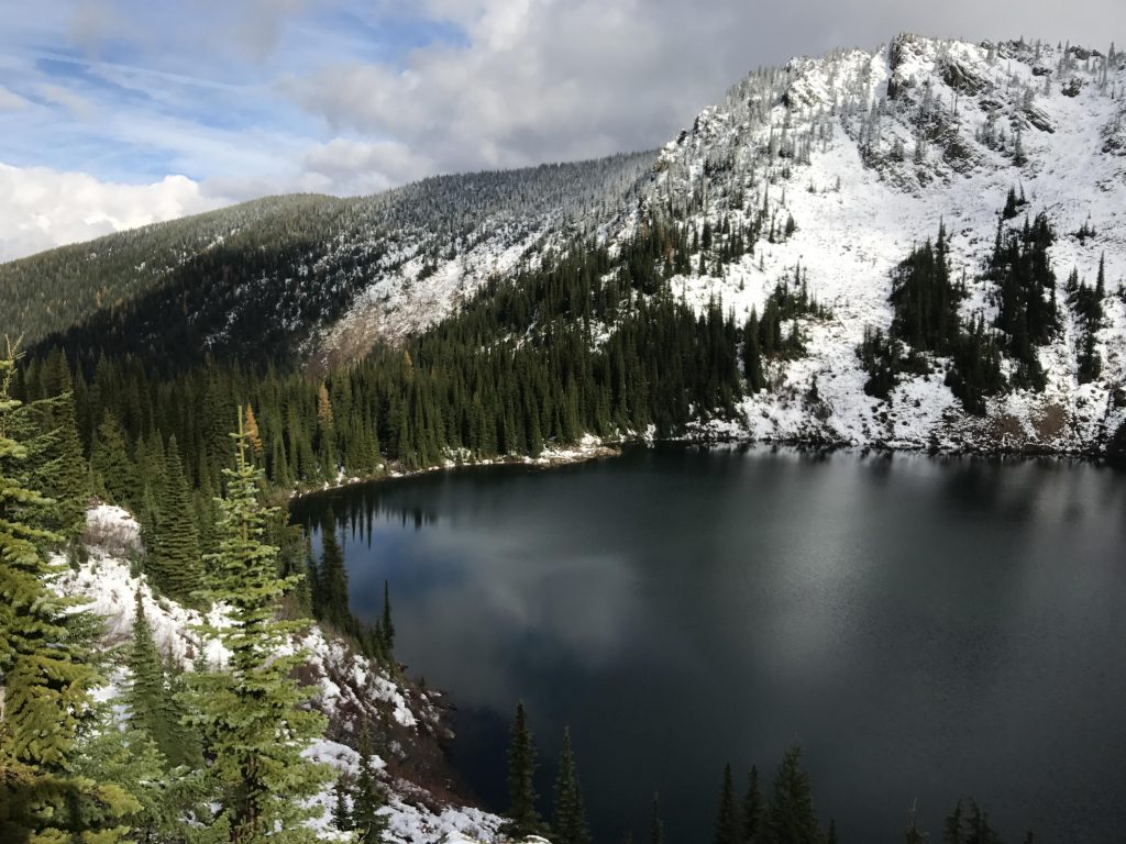
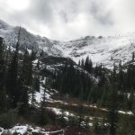
On the ridgetop (the divide between the Coeur d’Alene and St. Joe river drainages) the weather took a severe turn for the worse. Thick fog engulfed us and reduced visibility to 40-50 yards. A mean wind whipped the stunted trees. The sun was blacked out completely and the temperature plunged. But I sensed we were not alone. The Scribe told me absolutely no way anyone else was up there. But there was! And sure enough, after the Scribe put on a warmer shirt and his balaclava and gloves, three shapes emerged at the edge of the ridge and peered down into the abyss. The Scribe waived and they plowed their way across the ridgetop. They had taken the logging road up to the ridge and were looking for a descent into the Stevens Lake basin. The Scribe chatted on for a bit, while I explored the ridge in a vain search for squirrel. Then we moved on, leaving the hikers behind, and climbed up to Stevens Peak.Upper Stevens Lake Every so often the fog would clear a bit and provide a quick glance at the valley below. Once on the far side of Stevens Peak, we made out the hazy shapes of the two Stevens lakes. We scrambled down to the saddle of the ridge, the Scribe at times almost disappearing in snow. He went more or less by what little he saw, for the GPS lost connectivity. In the saddle I found us an ideal spot for descent, an area of short saplings and deep snow. We plunged down, slipping and sliding down and down towards Upper Stevens Lake. And with the descent, just like that, the fog lifted.
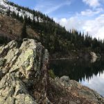
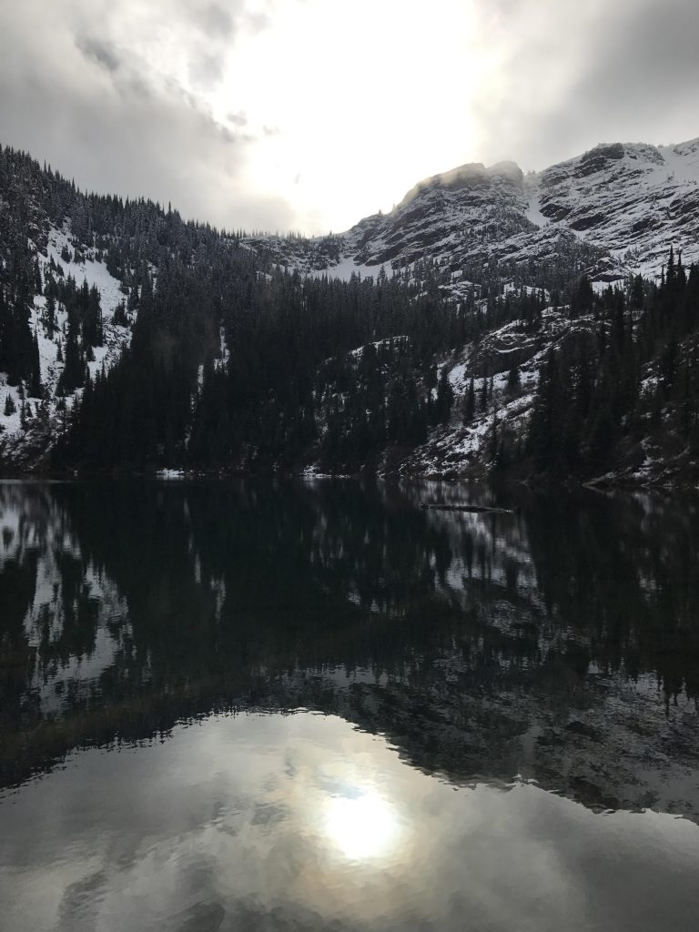
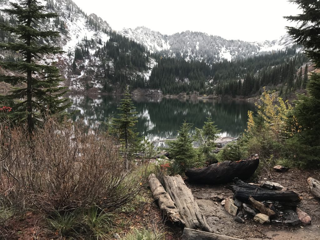
We took an extensive break at the lake. The Scribe had to change his shirt (it was dripping wet again from too much bushwhacking), filter water, and then we shared a package of peanuts. But we putzed around for too long, and the Scribe started to shiver. He bundled up in his ski jacket, puffy coat and balaclava and we moved on. Lower Stevens Lake was only a short distance away, but involved more bushwhacking. Fortunately, that soon came to an end as Lower Stevens featured a very pretty campsite on a peninsula at the end of the lake and a well-trodden path leading to the head of the lake and more campsites. In fact, two campers were making preparations to brave the night at the lake.
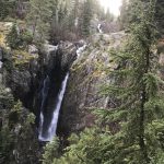
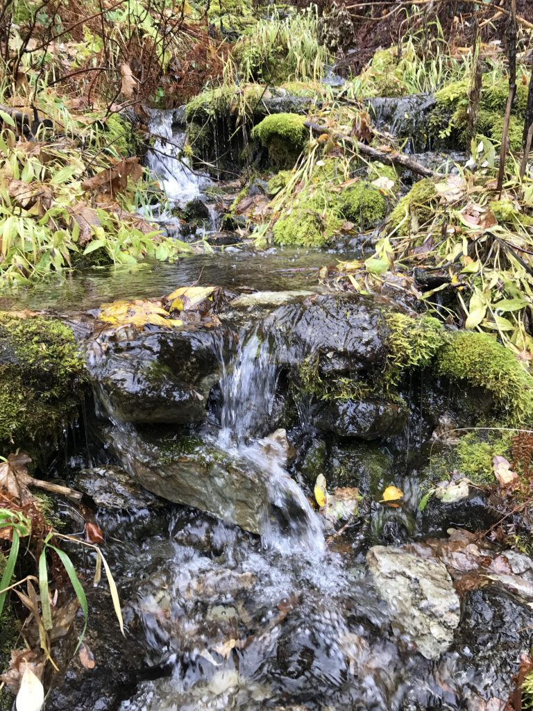
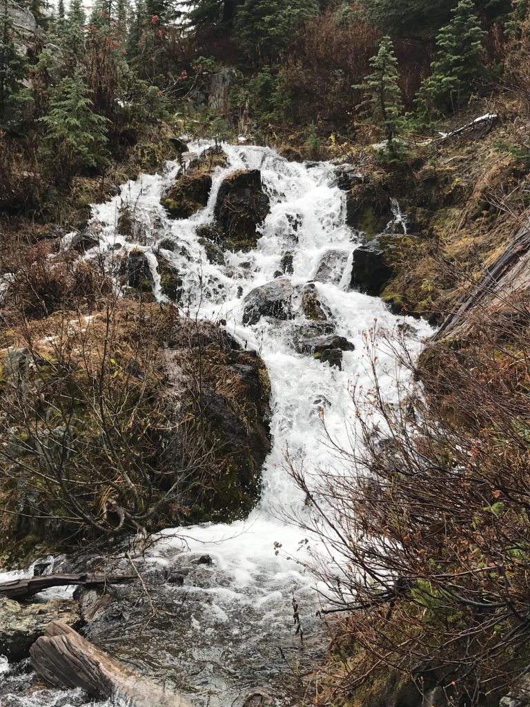
The descent from Lower Stevens Lake led through a densely forested area that held another surprise for us: a spectacular waterfall plummeting through a narrow chasm from the ledge above.
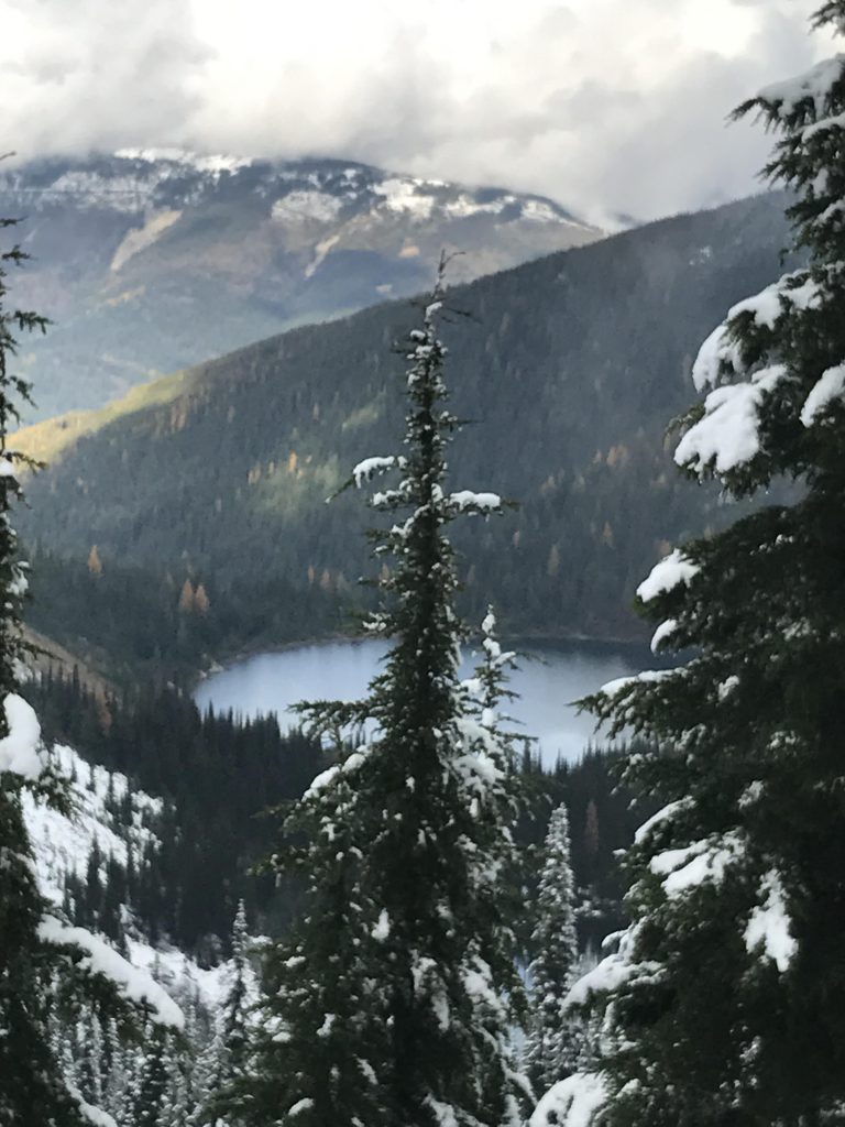
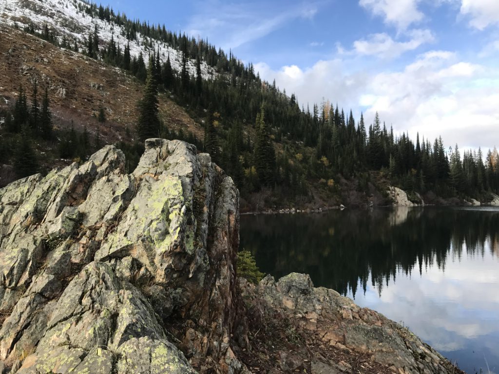
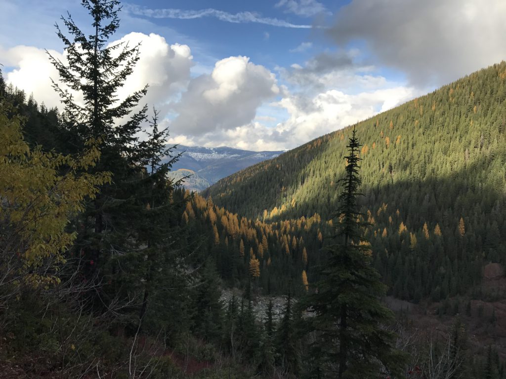
The trail continued through the forest a bit further, then opened up upon a wide cauldron. The valley came into full view, stunningly colored in fall clothing. The path zigzagged across a sprawling talus slope, dropped to the bottom of the bowl and then crossed East Willow Creek near a pretty waterfall. Then it reentered the forest hugging the flank of the mountain for some time, before steeply declining to the valley floor and the creek.
Alternate Routes
- For an easier hike, return after reaching Lone Lake (this eliminates serious bushwhacking to Upper Lone Lake and the scramble up to Stevens Peak). Turn the Stevens Lakes section into a separate hike, returning after reaching Upper Stevens Lake.
- Or, continue along the ridge and drop into either the St. Regis or Copper Creek basins. Return to the Stevens/Lone Lakes trailhead via the NorPac rail-to-trail. Interesting fact: the trail along the ridge is part of the Idaho State Centennial Trail that stretches from Canada to Nevada.
Things to Consider
- Unfortunately we lost GPS connectivity on Stevens Peak, so the GPX tracks will only show half the hike
Not so great