- Selkirk Mountains
- Red Top (dry), Hidden Lake, West Fork Cabin, West Fork Lake, West Fork Mountain (dry), Caribou Lake (possibly, I didn’t check it out)
- Very good. Had to climb over a few trees along trail #102 (Red Top)
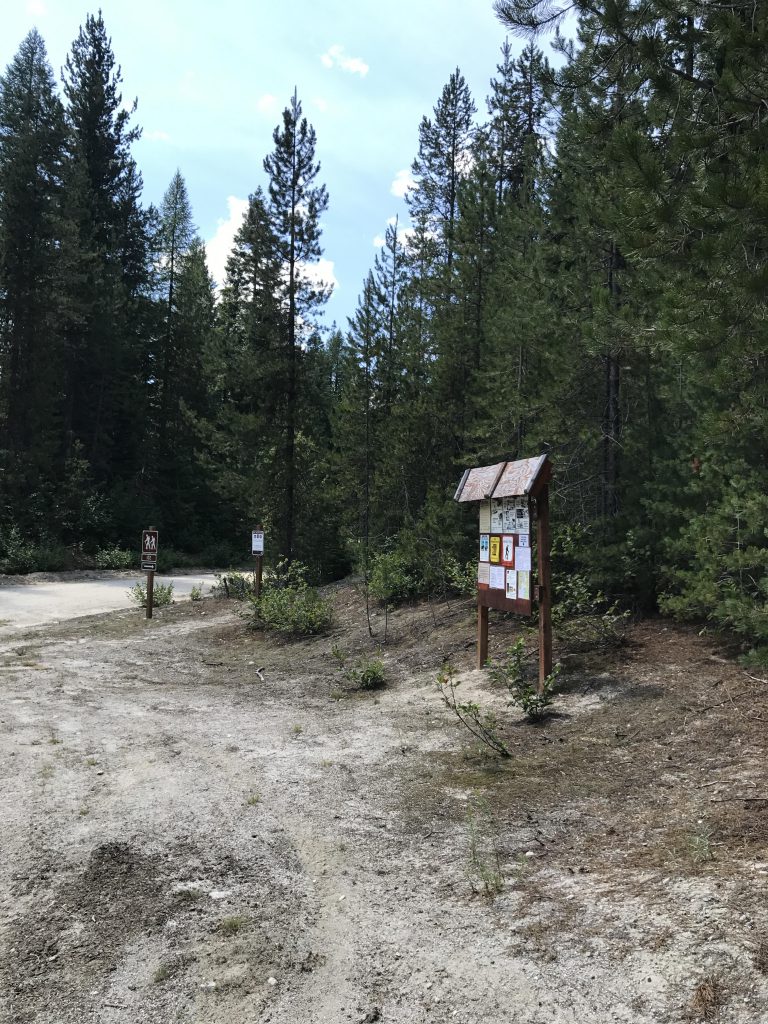
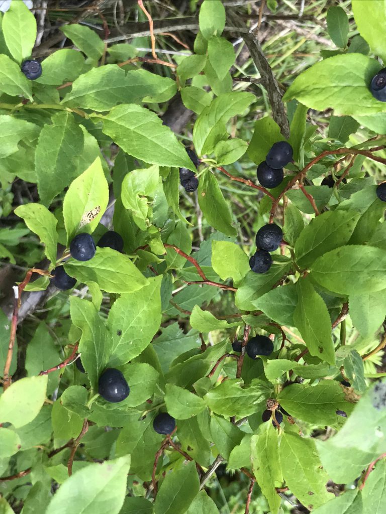
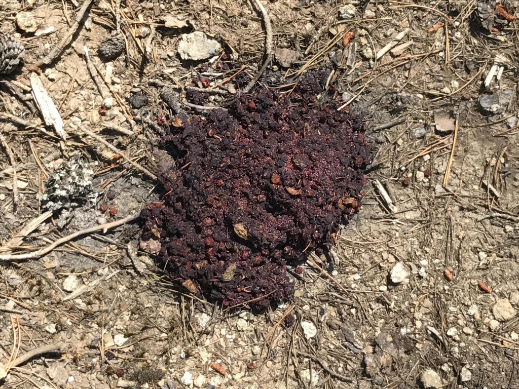
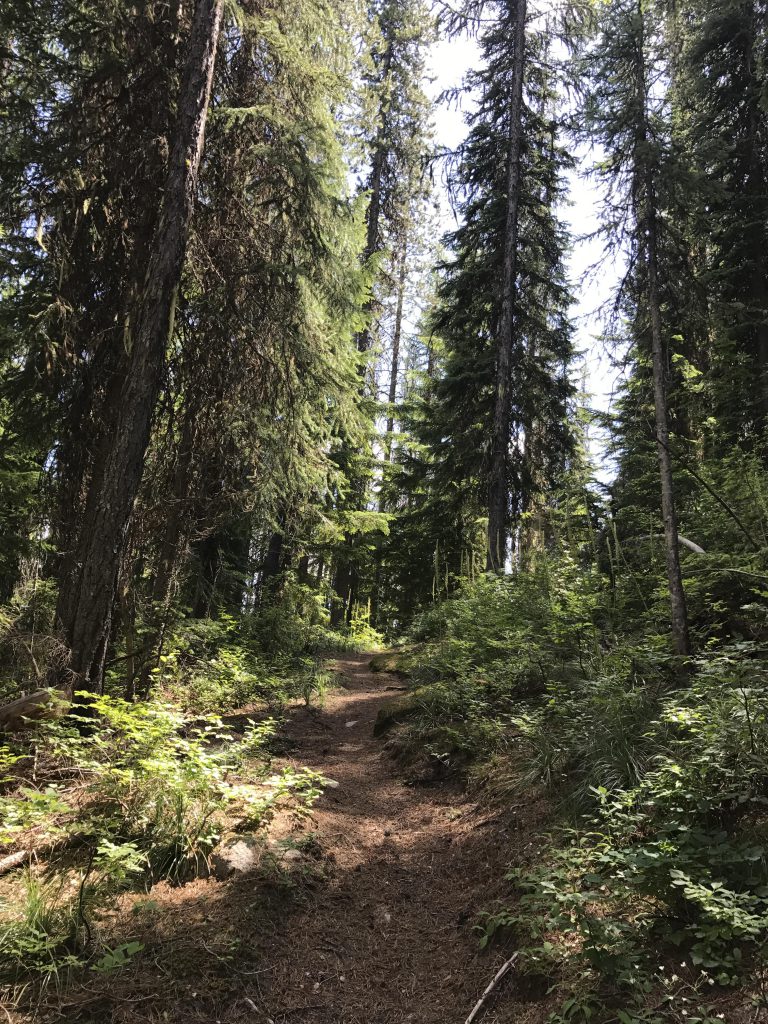
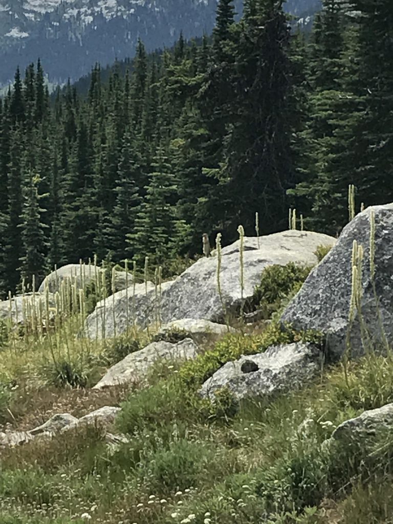
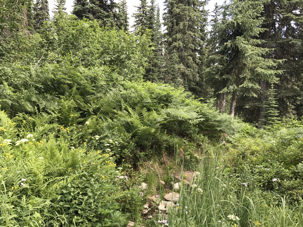
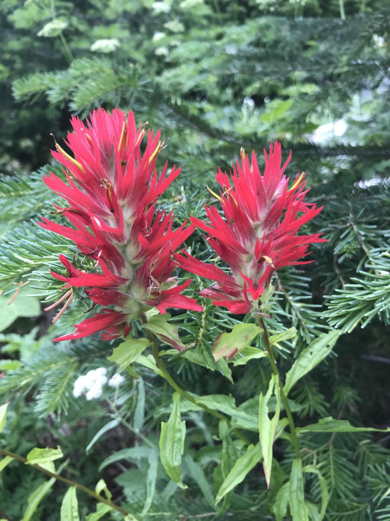
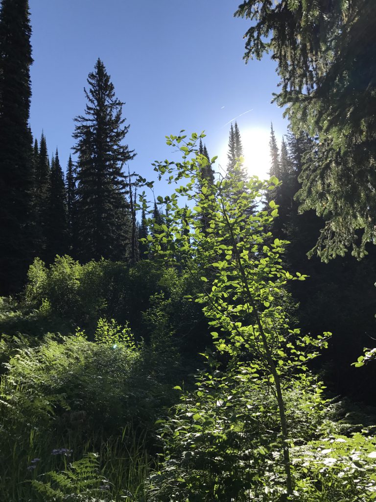
The route to West Fork Mountain connects several trails, starting out with trail #102, leading from the trailhead at FR #281 into a lush cedar grove teeming with sprawling ferns. The trail immediately slopes upwards and is quite unrelenting in its ascent over the next four miles, as it climbs the northeastern flank of Red Top. With higher altitude the forest retreats somewhat, exchanging cedar with fir and spruce and larch, and the ferns yield to beargrass and huckleberries. As the trail ascends, it frequently moves along Red Top’s southeastern face, which is carpeted with huckleberries, loved, as evidence indicates, by bears, and is blessed with a nice breeze coming off Smith Creek.
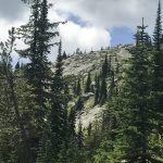
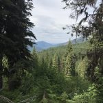
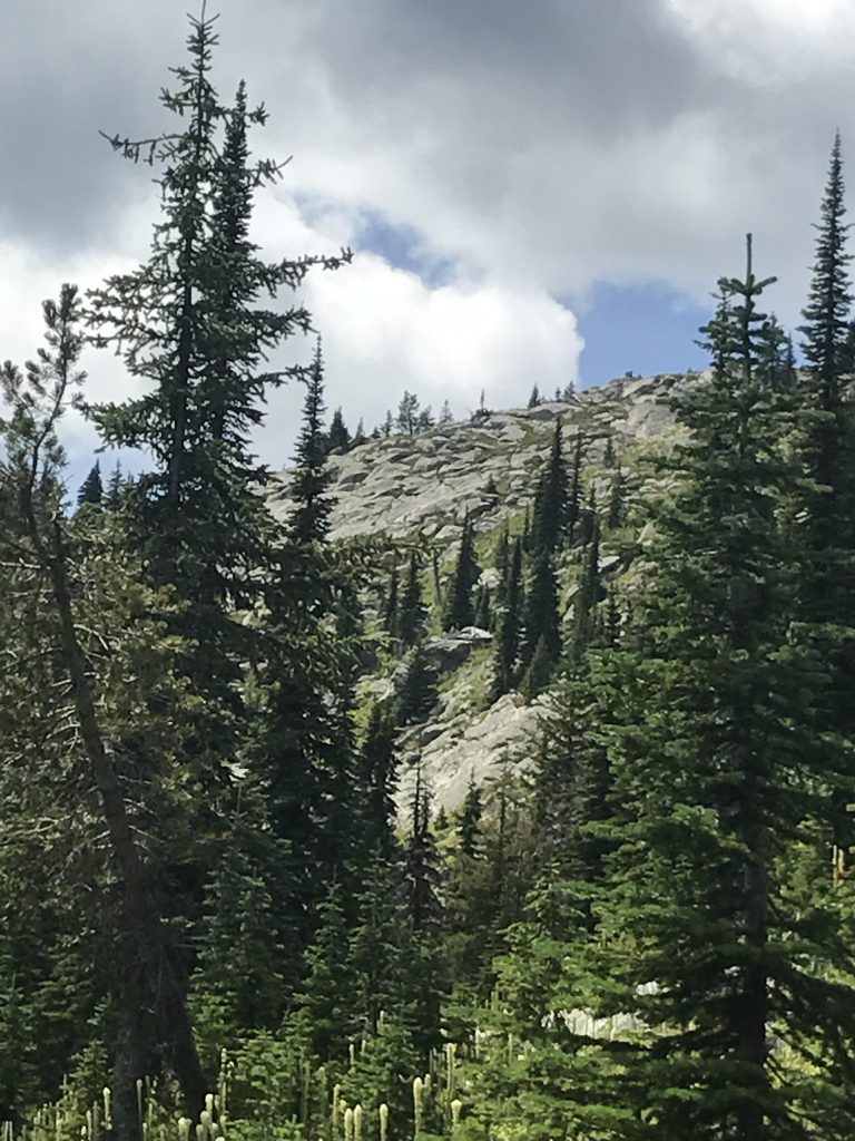
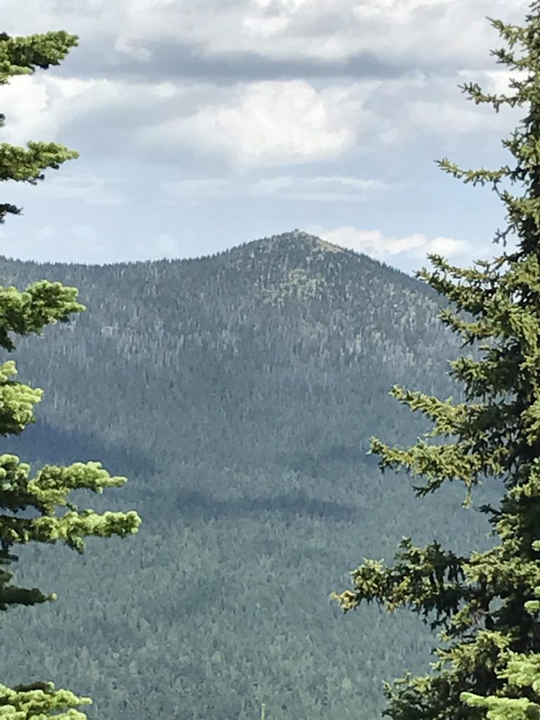
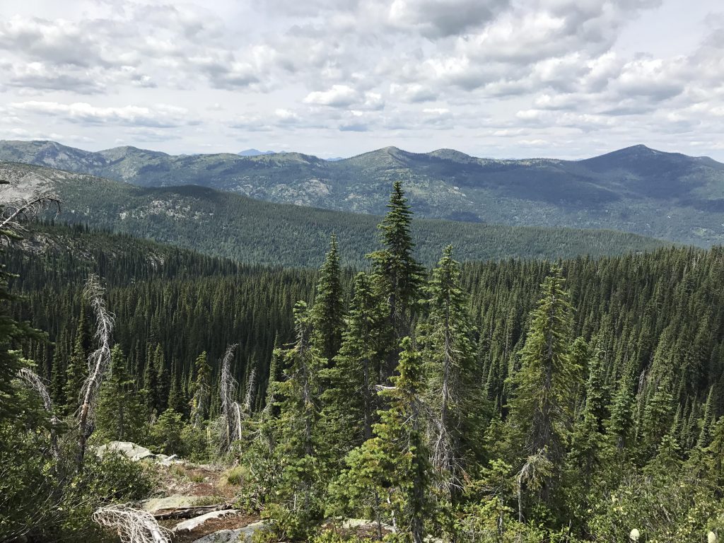
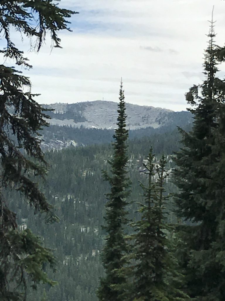
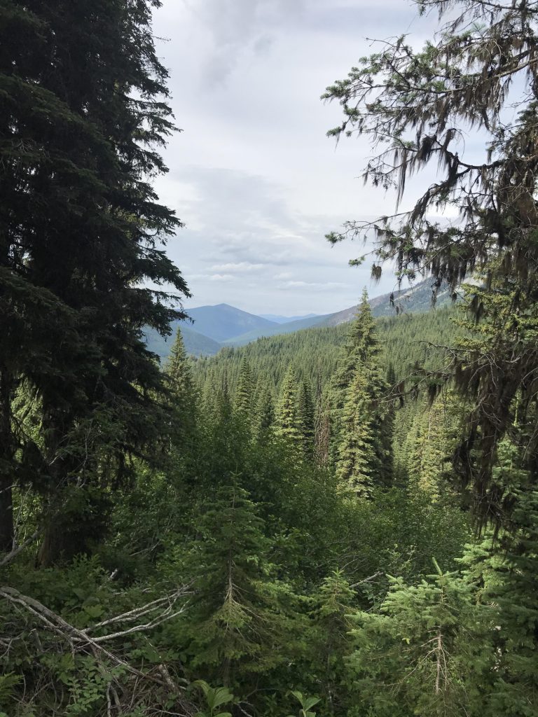
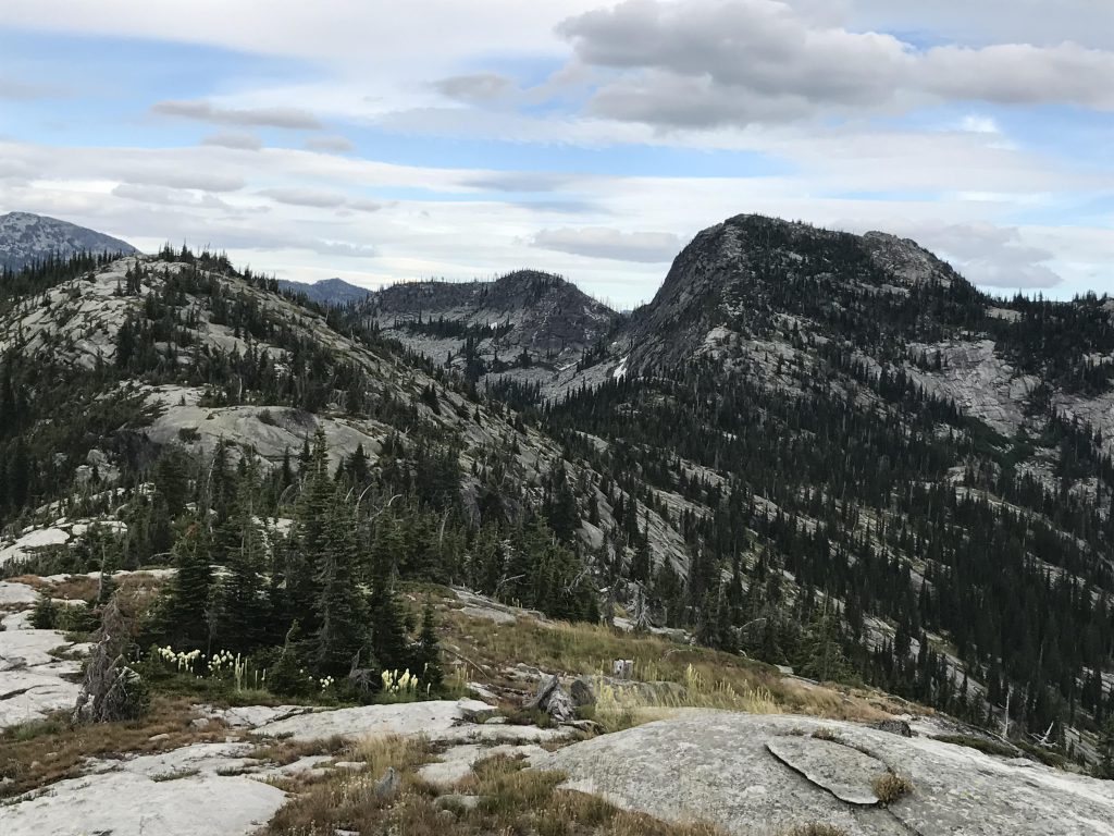
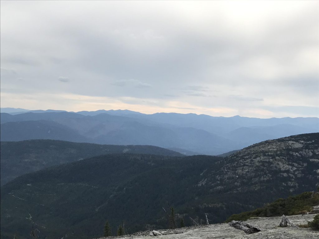
About two-thirds up you get a bit of a reprieve as you traverse a flattish lower hump of Red Top, but soon the trail gets steeper again and it switchbacks up the southern face, curls around the mountain and emerges onto the peak from the north side. That peak isn’t pointy at all; rather it’s a flattish bare knoll littered with the remains of a lookout tower. The views are tremendous, with Shorty Peak to the northeast and the Smith ridge to the east, and the Kootenai River Valley and the Purcells in the far distance in between. To the south you see deep into the Selkirk crest, featuring prominent places like the Lion’s Head, and to the southwest the destination ridge, West Fork Mountain. To the West, beyond the flattish ridge extending from Red Top, is Joe Peak, but Hidden Lake, true to its name, cannot be spotted in its cirque.
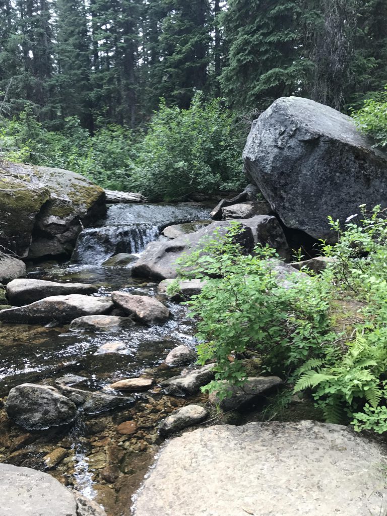
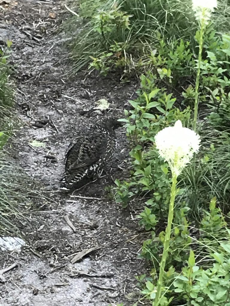
The trail continues southwest, at first along the ridge, then along Red Top’s southern face towards Hidden Lake. This is a particularly pleasant 2-mile stretch, at a steady slight decline, among open forest interspersed with beargrass meadows and fleeing grouse. It ends at the intersection with trail #21, heading off to the left (south). First, however, a visit to Hidden Lake is in order, along steep and rocky trail #102 for a little over a quarter mile.
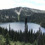
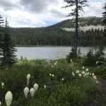
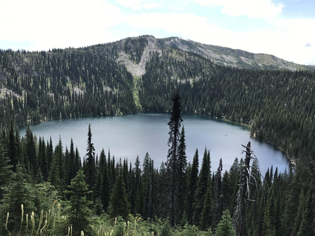
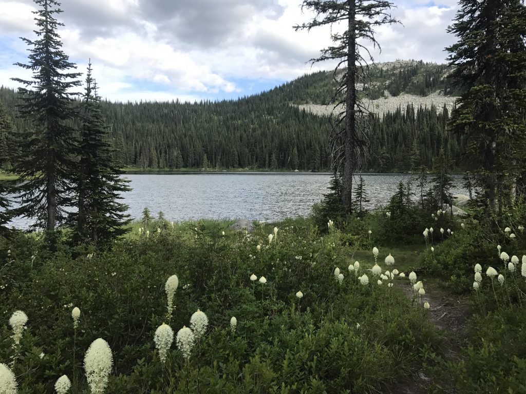
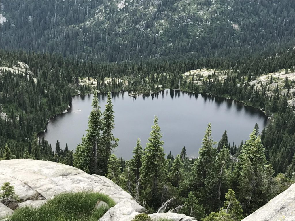
Hidden Lake really doesn’t come into view until you are actually already descending into its bowl at the feet of Joe Mountain. It’s the largest lake in the Selkirk Crest and gets a fair number of visitors due to its close proximity to FR #2545 and is popular with fishermen. This was the case when we visited, with fishermen criss-crossing the waters in an inflatable boat. There are a number of campsites along the lake and an especially nice one right where trail #102 meets the lake (an excellent opportunity for a swim and a refill of the water bottles, too).
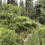
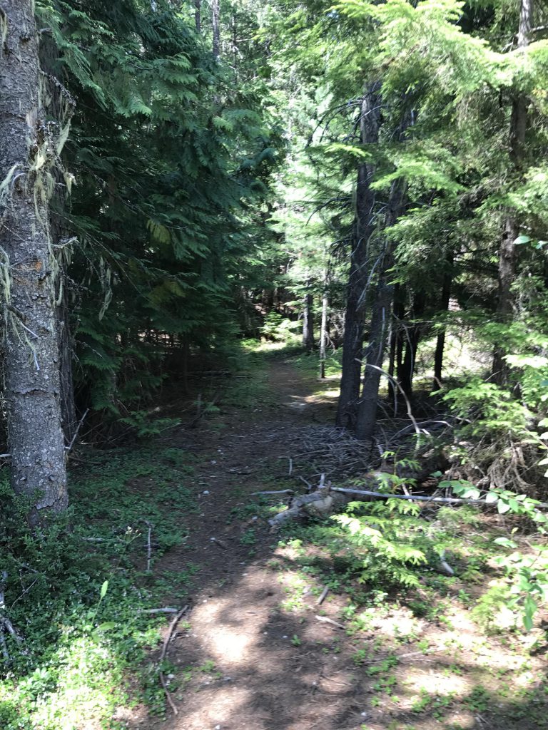
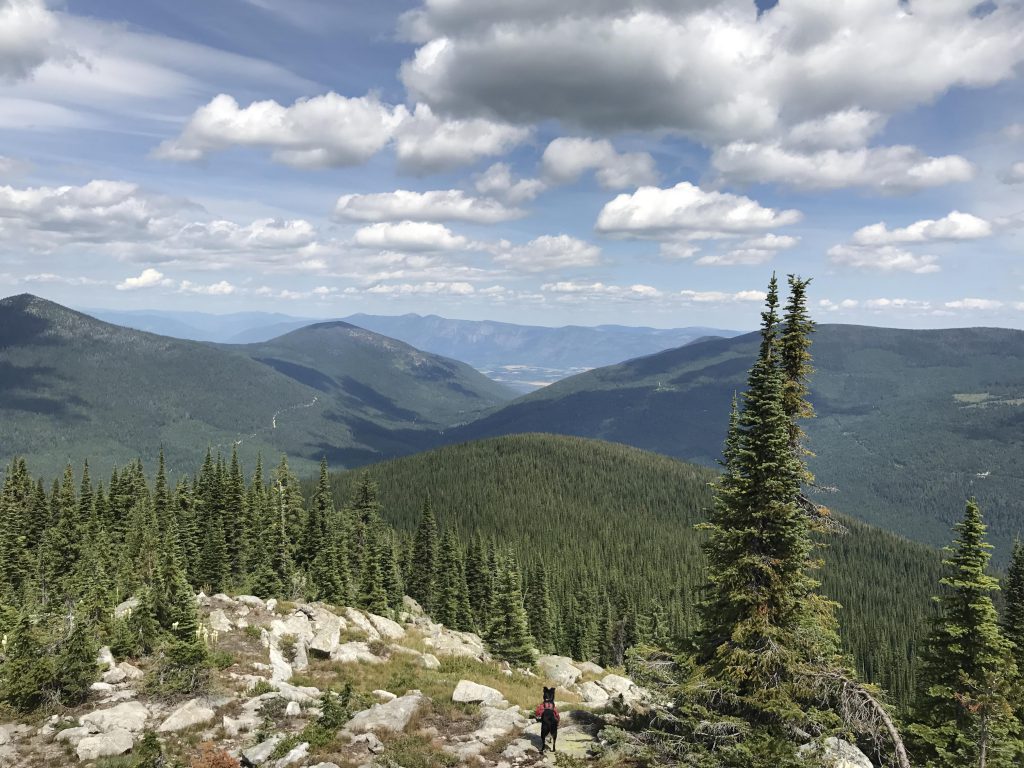
Trail #102 continues around the outlet of the lake and then downhill to FR #2545 for about three-quarters of a mile. For our trip, however, we climbed back up to the ridge above Hidden Lake and followed #21 to the south along the brim of the lake’s cirque. It is possible to bushwhack up to Joe Peak, but that “trail” (there really isn’t one) is very overgrown. Trail #21 switchbacks a bit along the eastern face, but soon crosses to the western side, with a first quick glance at the lookout tower atop West Fork Mountain, and enters a dramatically different vegetation zone. Gone is the beargrass and huckleberry carpet, replaced with ferns, hip-high in places, cow parsnips, equally tall, and other dense shrubbery and wildflowers. The trail is soggy in many places, thankfully frequently bridged by boardwalks. The tree canopy changes to old-growth fir and spruce, the red cedar having been logged a long time ago.
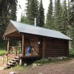
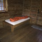
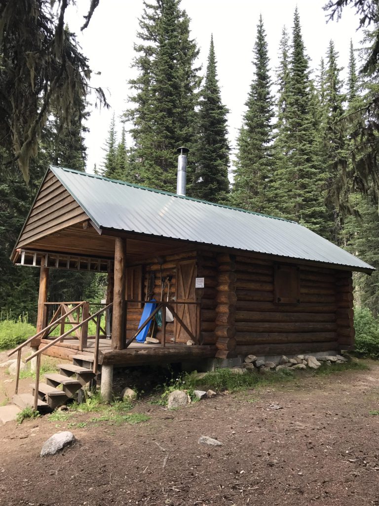
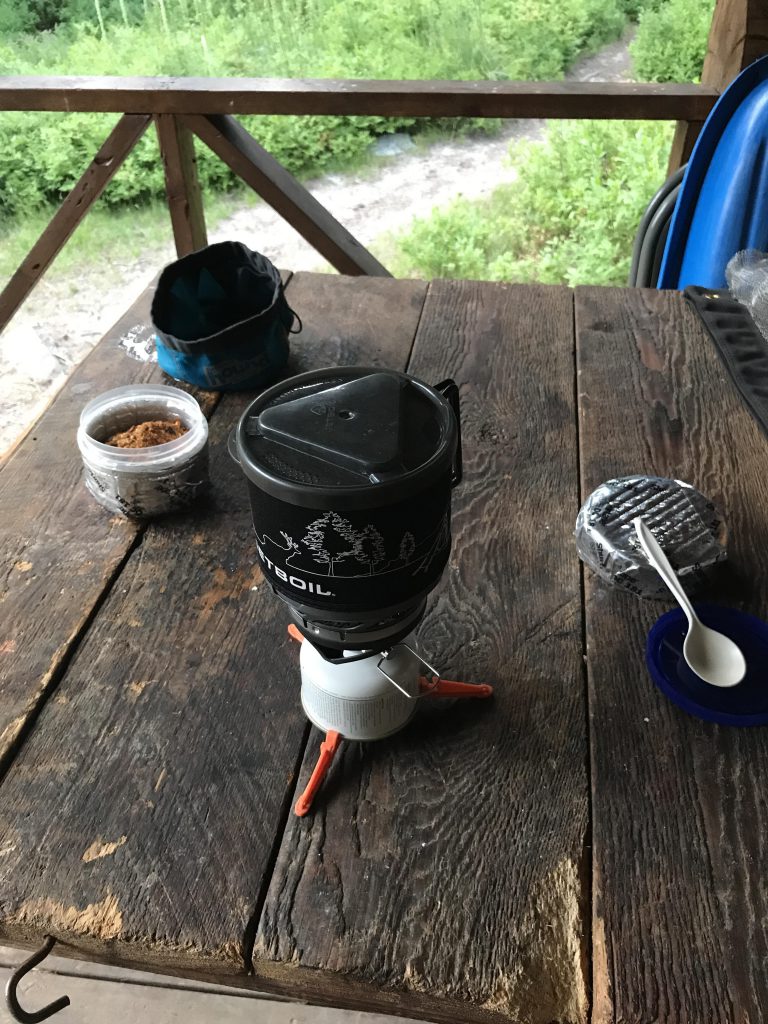
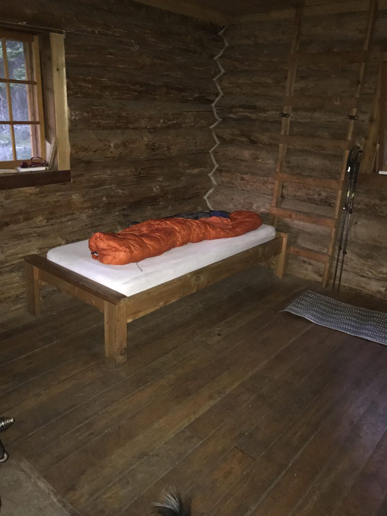
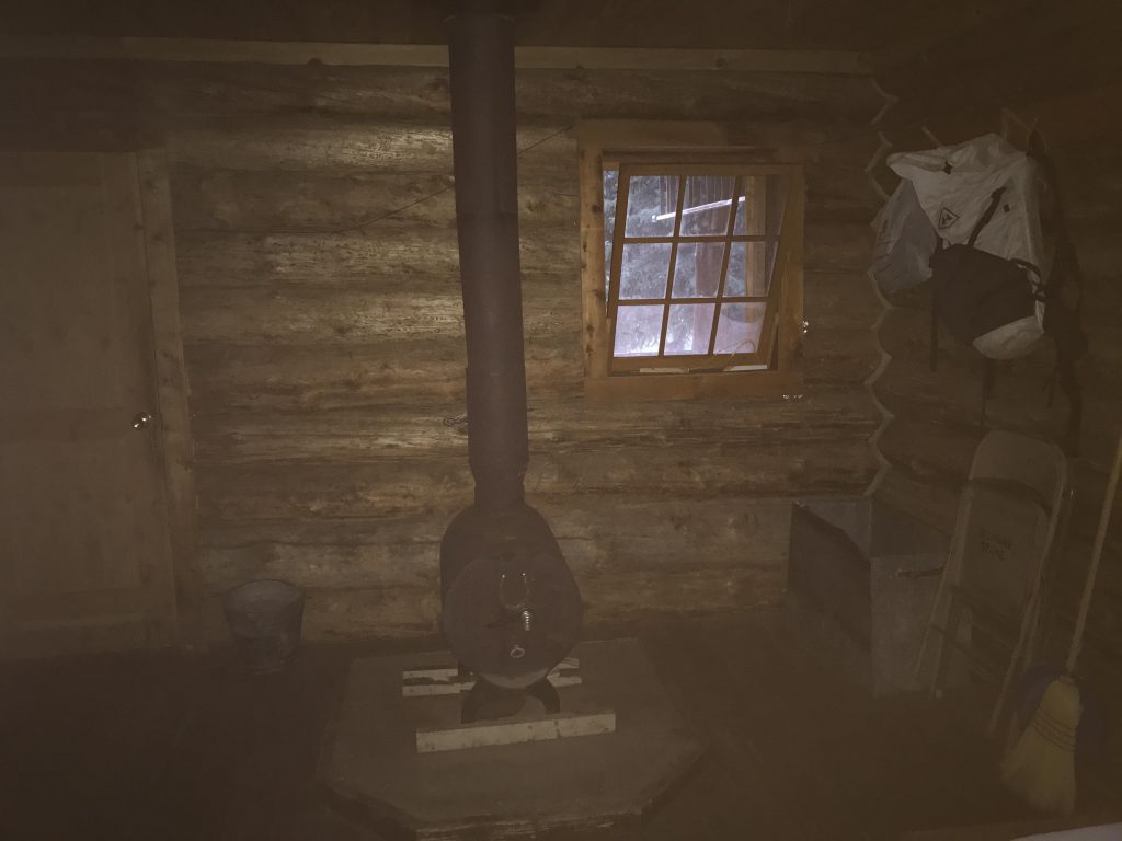
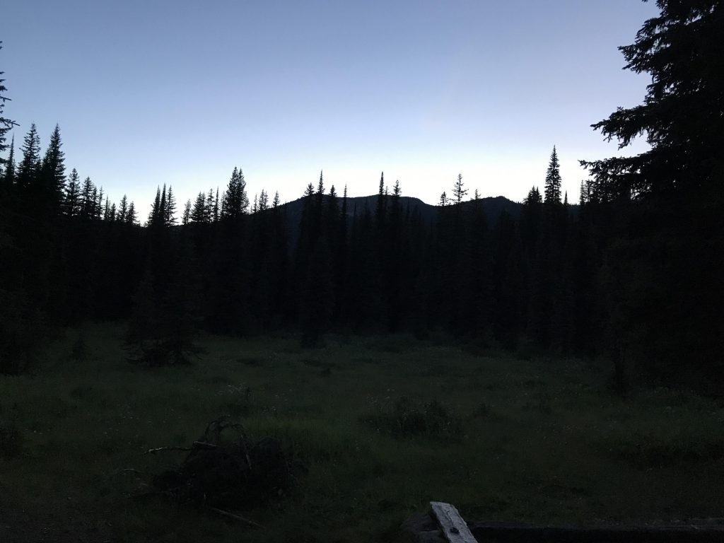
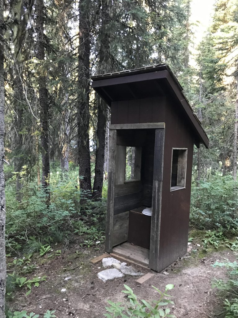
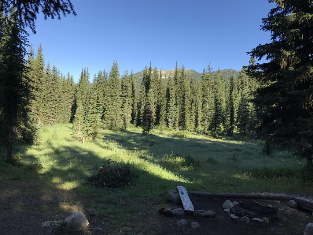
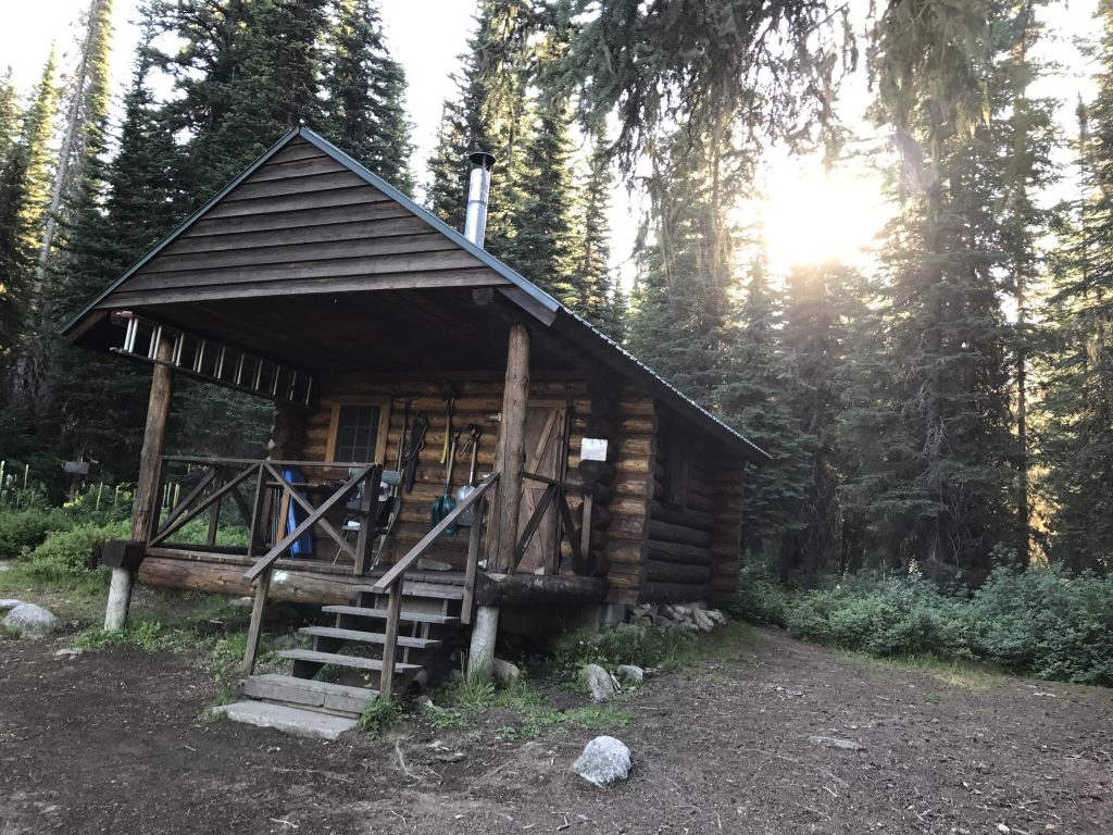
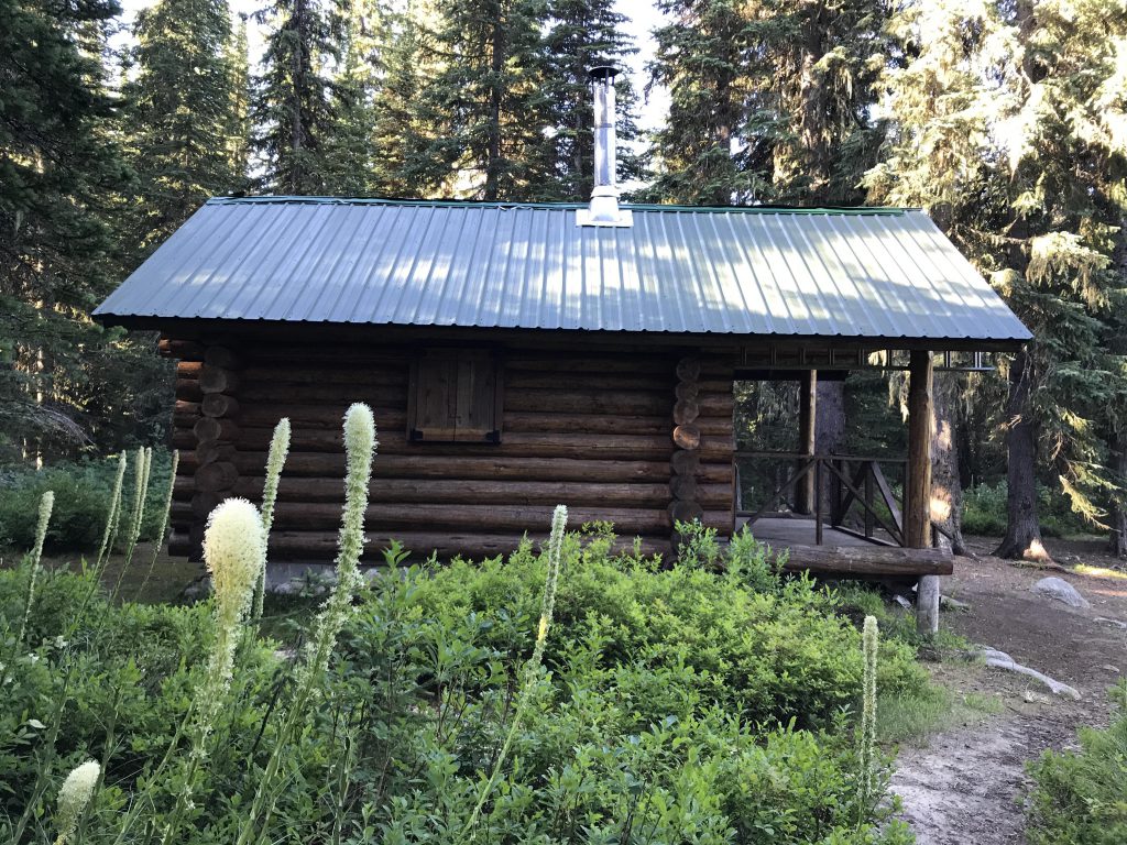
West Fork Cabin comes into view about 2 miles past the Hidden Lake ridge, quaintly perched on the edge of its own tiny meadow. This is a truly heavenly oasis, open to the public on a first-come, first-served basis. It features a small but powerful wood stove and three bunk beds. There is also an outhouse northeast of the cabin, hidden away in the woods (follow the trail uphill towards the Hidden Lake ridge for a few paces, then take the right branch at the fork for about 50 or so yards into the woods), plenty of working tools (saws, axes, shovels, ladders), cooking equipment (pots, pans, ladles), chairs, and a handy small brook less than 100 yards away.
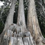
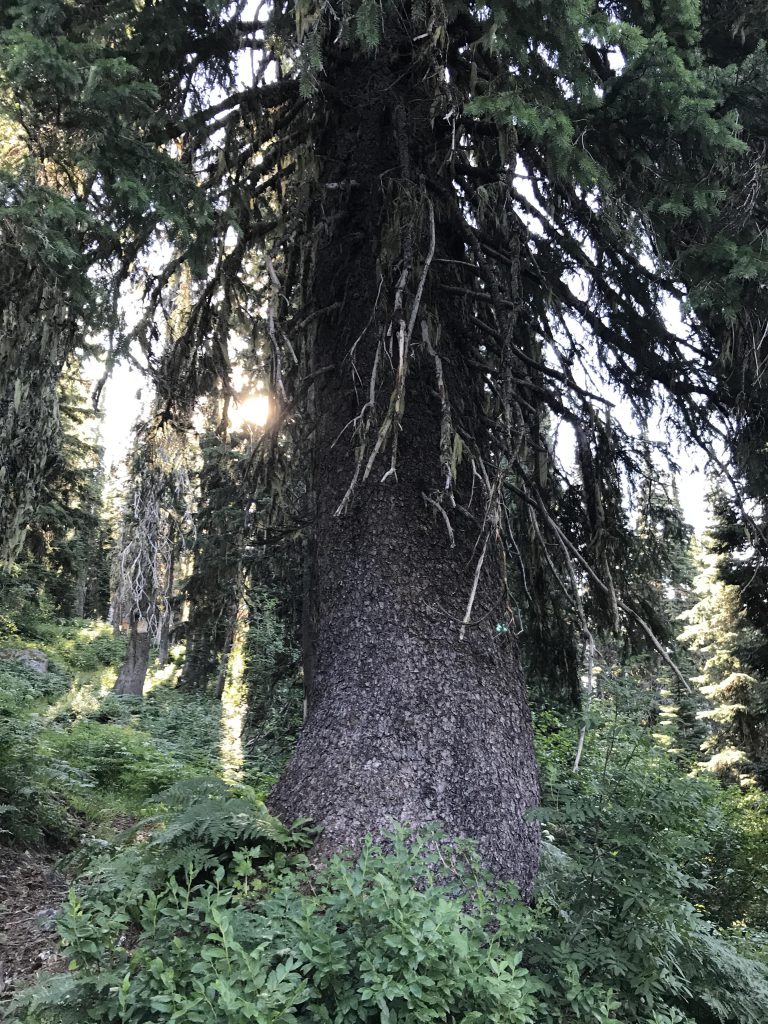
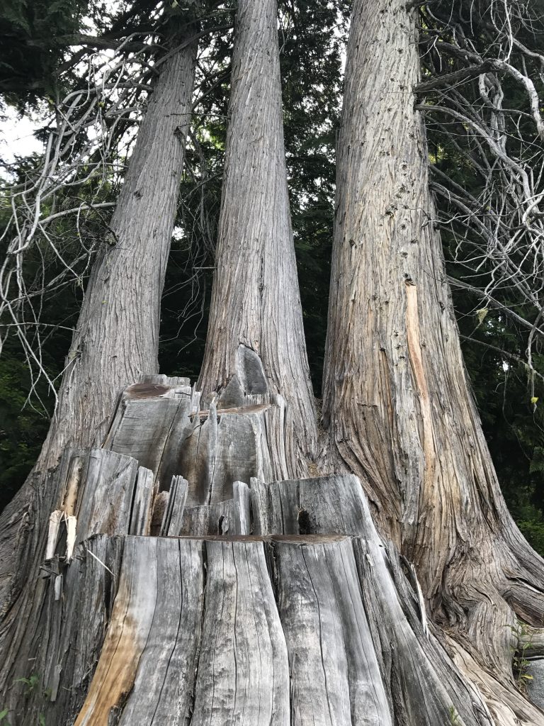
The cabin was unoccupied, but our plan (Plan A) was to stay at West Fork Lake, and thus we continued. There are a number of confusing trails surrounding the cabin; the correct one continues behind the cabin and leads down to a tributary of West Fork Creek in a quarter mile, where it intersects with trail #347. Trail #347 immediately crosses the tributary on a nice wooden bridge and enters a beautiful old-growth cedar grove. Alas, much of that grove is an private land and succumbed to the axe! Fortunately, though, a number of giant specimens were left standing, making this a truly special place.
The trail at first continues flattish, but soon slopes upwards at a very manageable incline, all the while paralleling the creek. As it ascends, the trail is rather marshy with many of those buggy places covered by boardwalks. The last mile ahead of the lake consists of switchbacks, as the terrain gets steeper. Just ahead of the lake is a fork in the path, with the left branch leading about 50 yards to the lake and the right one upwards to West Fork Mountain.
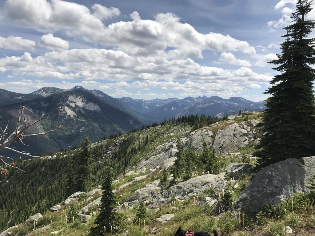
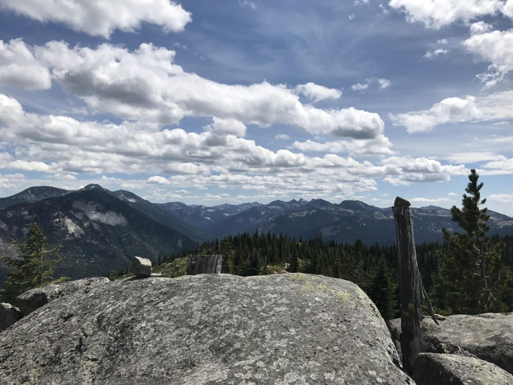
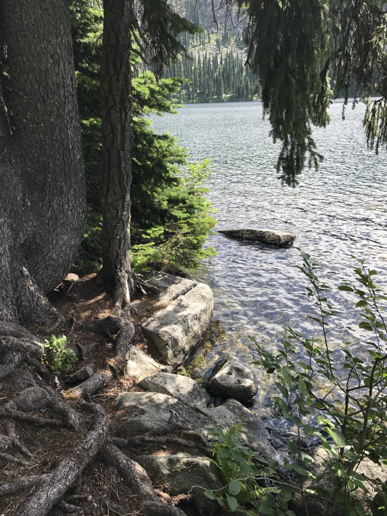
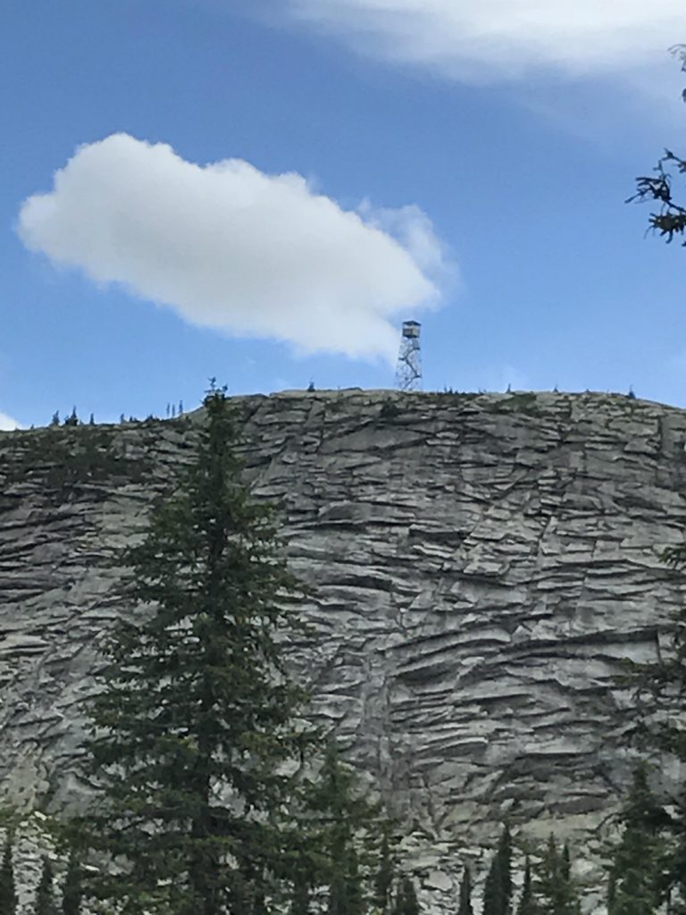
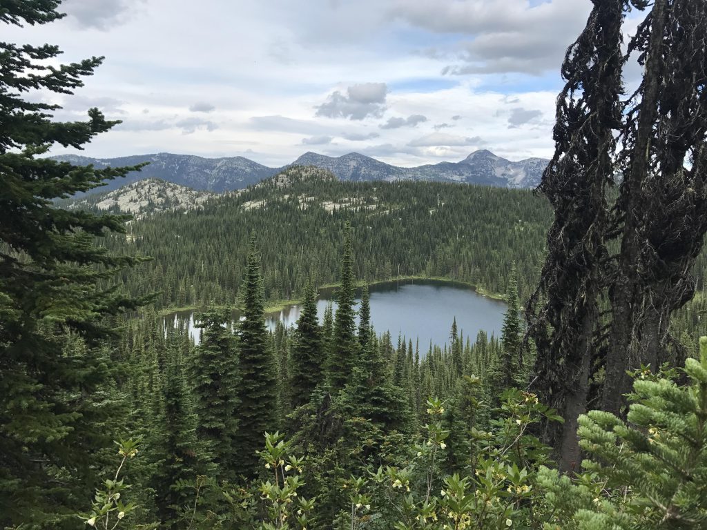
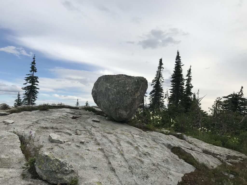
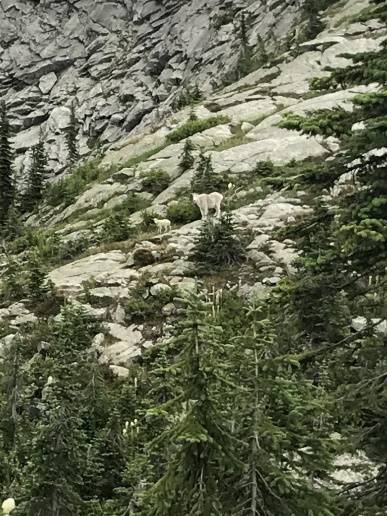
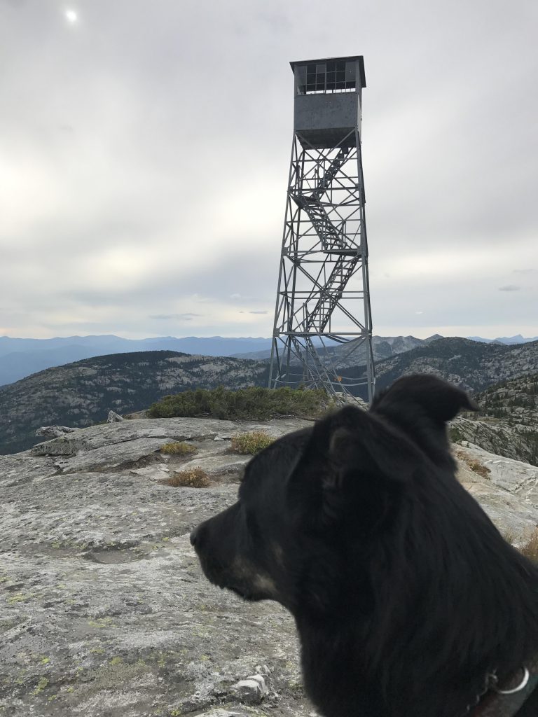
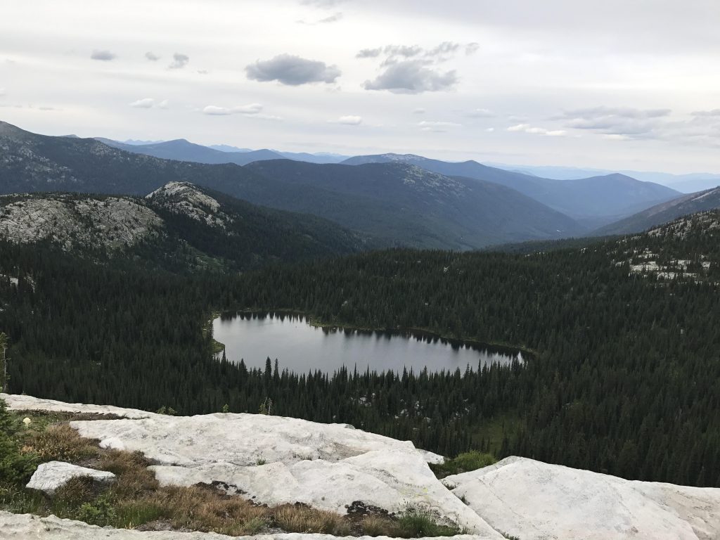
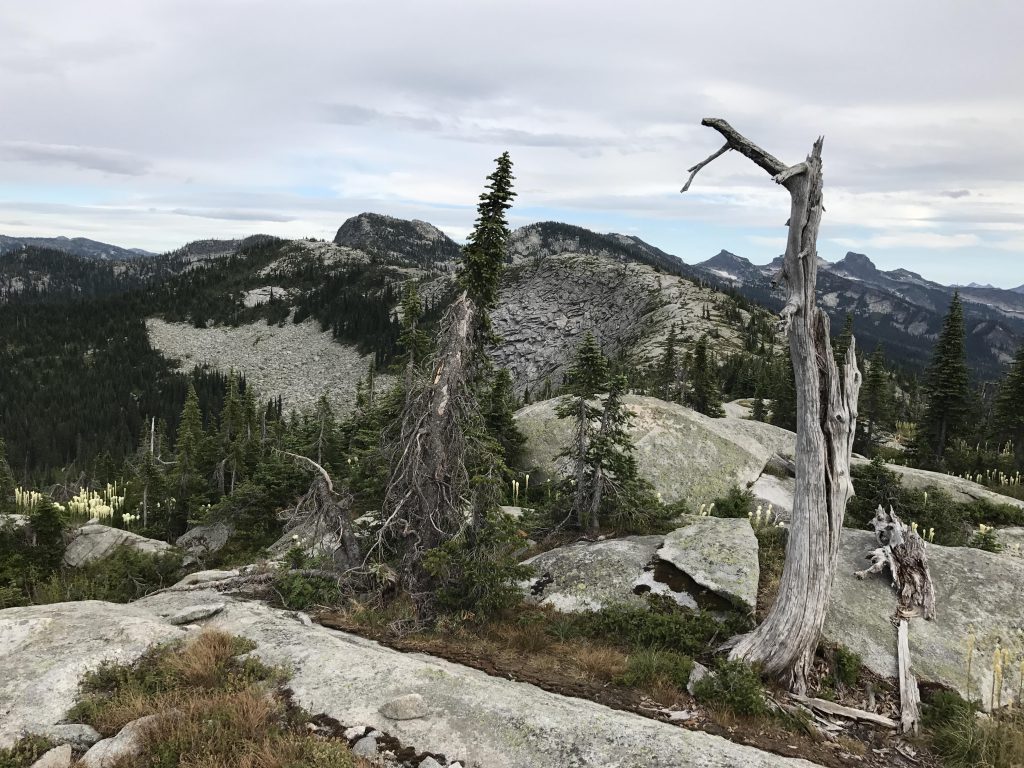
We swung a left, towards our intended destination of the day, West Fork Lake. The lake is a pretty sight, sitting in its forest-ringed bowl, but the shore turned out to be exceedingly swampy and the mosquitoes merciless. Not a good place for spending the night. We filled our 2 liters of water and made for the ridge. The trail up to the ridge is relatively short, but rocky and steep and is sure to get your heart pumping. The reward, though, was great, with a mountain goat and kid waiting at the top. That top, incidentally, is rather a longish granite-slab-topped ridge, with high points at the southern and northern extremities. At the southern elevation is the foundation of a guard shack and the rickety remains of a lookout tower, with the bottom rungs removed. Even at ground level, though, the views are splendid, with West Fork Lake cuddled in its cirque below and the eye searching eastwards towards Red Top and Shorty Peak and beyond that the Purcell range. After bushwhacking to the northern end, a comparatively easy feat, you’ll be treated to a view of Caribou Lake (there are 2, you can only see the lower one).
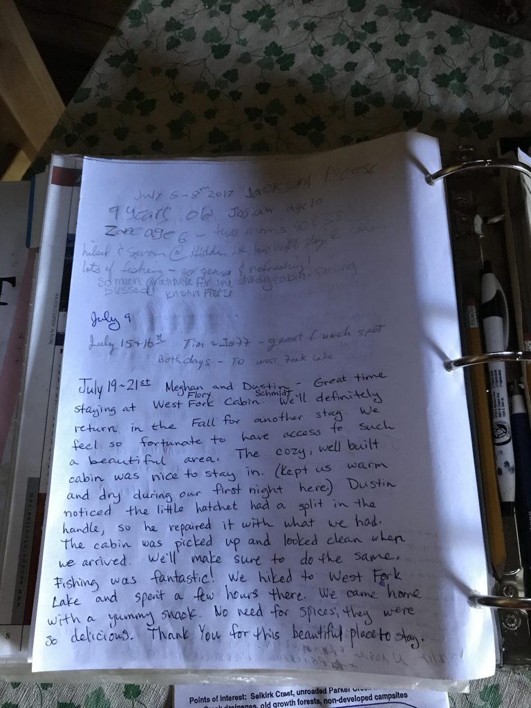
The ridge is dry, however, and, winded from the ascent, we drank our 2 liters of water in no time. Thus, Plan B, staying on West Fork Mountain, went out the window, leaving us with Plan C, hiking back to the cabin. That we did, hoping all the while for it to still be unoccupied (the guest log indicated it was occupied in each of the prior few days!). And luck was in our favor that day! The stay at the cabin is a very memorable experience and for sure we’ll be back!
Alternate Routes
- Alternative access points are FR #2545 (extension of #655), providing access to Hidden Lake (about .7 miles from road), FR #2446 (extension of #281), providing access to West Fork Mountain trail #347 within a mile and West Fork Cabin within 1.25 miles.
- Mileage from #281 trailhead to Red Top is about 4 miles, Red Top to ridge above Hidden Lake is 2 miles, descent to Hidden Lake a bit over a quarter mile, Hidden Lake ridge to West Fork Cabin about 2 miles, West Fork Cabin to West Fork Mountain about 4 miles.
- Mileage by trail is approximately 7 miles trail #102, 3.5 miles trail #21, 4 miles trail #347
Things to Consider
Not so great
Looks like a great hike utilizing the cabin out there, and how cool to see a Selkirk mountain goat!
Grouse you saw up at Shorty was still hanging around.. with 6 chicks!
Yes, I saw the chicks, too, both on Shorty and Red Top, but they immediately scattered all over the place, but the hen stayed put for the picture-taking. And Naughty’s presence didn’t help one bit…