Upper Priest Lake and Trapper Creek

A rather pretty hike along Upper Priest Lake’s eastern shore, this trail is dotted with sandy beaches, great views of Priest Lake and a bit of history as well in the form of an old log cabin and a short mine shaft. It’s well worth an overnight stay at either Geisinger or Trapper Creek, both featuring pit toilets and bear-proof containers. The trail is part of the Idaho State Centennial Trail and the Pacific Northwest Trail.
Location
  • Selkirk Mountains
Rating
3.6 out of 5
Difficulty
Moderate (fording)
Distance
17.3 miles
Duration
5:14 hours moving time (Hiking)
Elevation Gain
1,179 feet
High Point
2,873 feet (Bluff overlooking Trapper Creek)
Low Point
2,422 feet (Upper Priest Lake)
Features
  • Grove
  • Lake
  • Rock Formation
  • Structure
  • Outing Type
  • Daytrip
  • Trail Type
  • Out-and-back
  • Trailbed
    Packed dirt, loose gravel, forest road
    Trail#
    58, 302
    Water
  • Caribou Creek
  • Trapper Creek
  • Upper Priest Lake (but that may not be the best source of water)
  • Camping
    • Lion Head campground is near the trailhead (fee required)
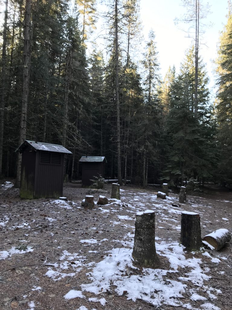
    • Geisinger and Trapper Creek have primitive sites with bear-proof boxes and pit toilets
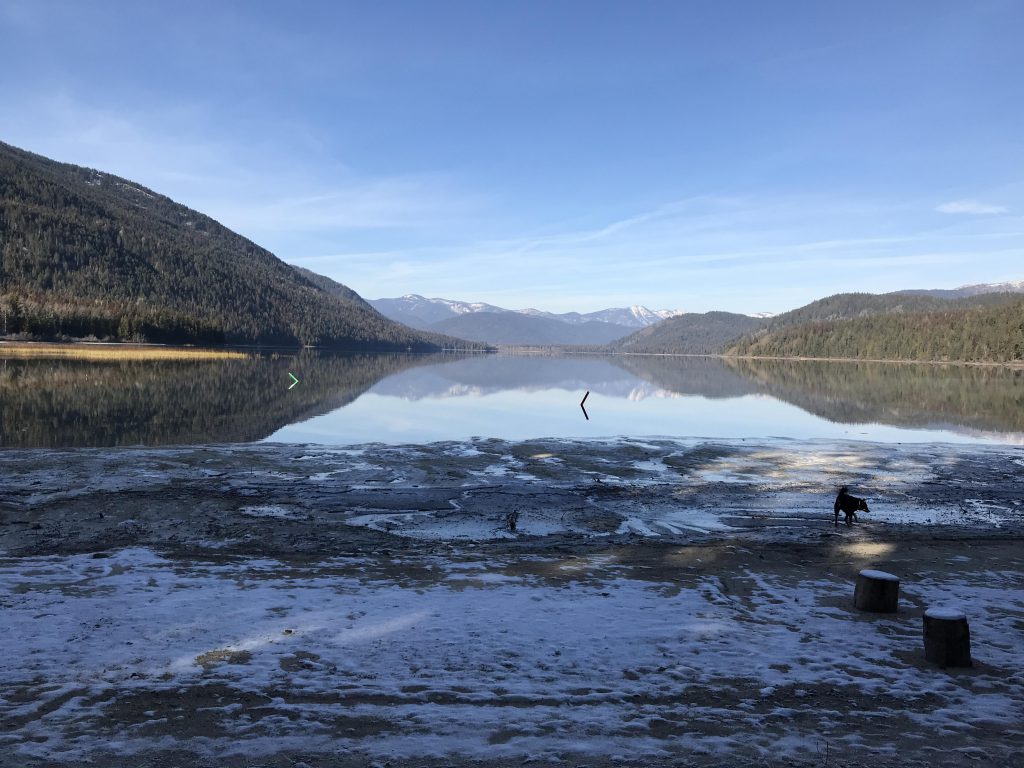
    • There are numerous campsites sprinkled along the lake. They are popular with boat campers
    Conditions
    • Excellent. Trapper Creek is pretty bad once you get on the old logging road.
    Administration
  • Kaniksu National Forest
  • Status
  • National Scenic Trail
  • Maps
    USGS
  • Caribou Creek
  • Upper Priest Lake
  • Fees & Permits
  • None required
  • ()
    Open To
  • Hikers
  • Dogs
  • Horses
  • Mountain Bikers
  • ()
    Directions
  • From Priest River, head north on ID-57 for 22 miles, then turn right onto Dickensheet Highway and follow that for 5 miles into Coolin. Turn right onto Cavanaugh Bay Road and follow it for 24 miles past Lion Head campground (it is a very winding road; speed limit 35). The road will turn to gravel ahead of Lion Head. The trailhead is on the left, a small bay for 4 or 5 cars with a trailhead sign. There is a private road slightly ahead of it; do not take that.
  • Season
    Year-around
    Resources
      Date
      November 19, 2018

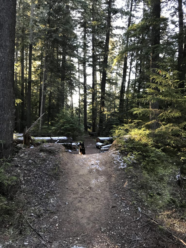
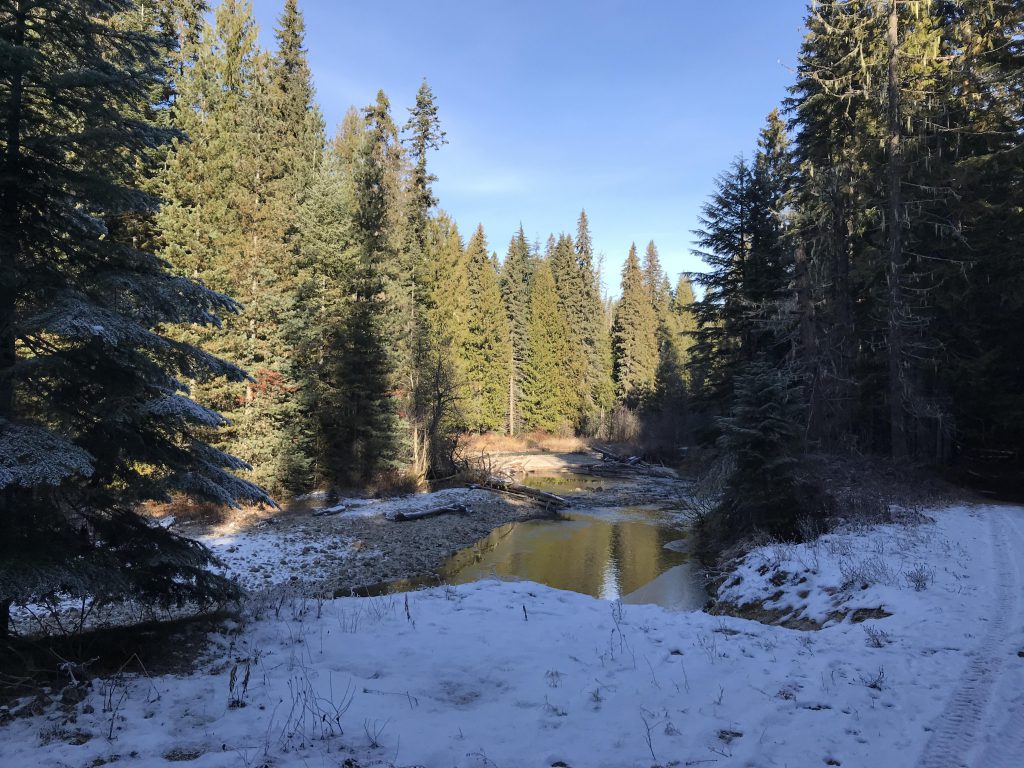
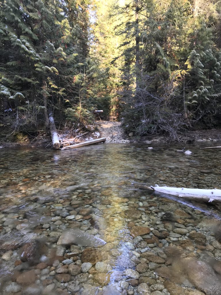
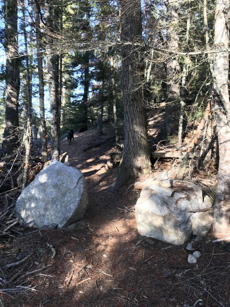
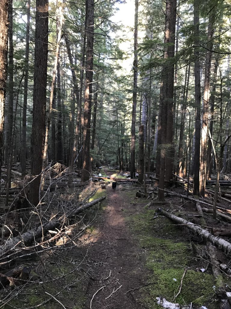
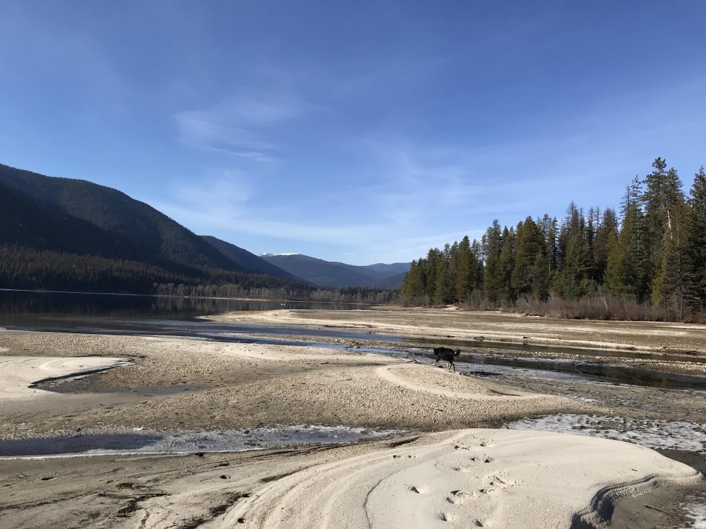
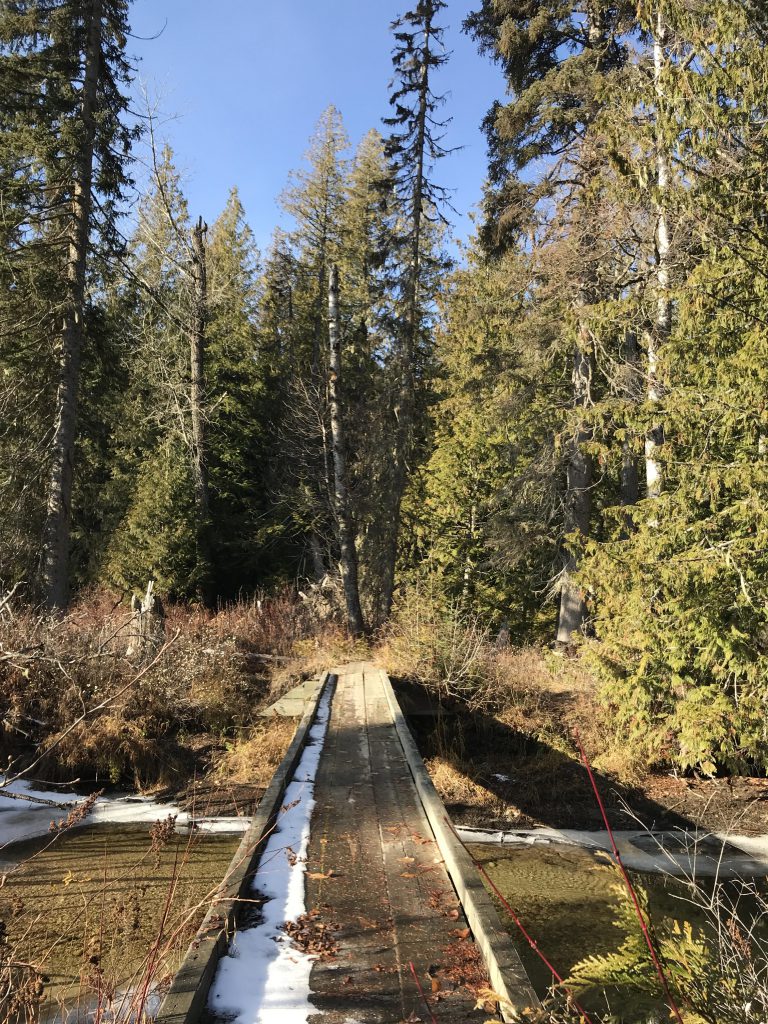
      From the trailhead, the trail heads west into the woods to a maze of old logging roads. At the first one, turn north and generally continue in that direction until you meet up with Caribou Creek. Arrows formed of branches and rocks are on the ground, but I think even if you miss the official trail you’ll still eventually end up at Caribou Creek. Follow Caribou Creek for just a short while to a fording. This is likely formidable in spring; in fall it is merely cold. The trail continues through the woods on the far side and emerges onto a forest road about a mile from the trailhead.

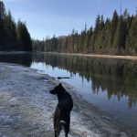
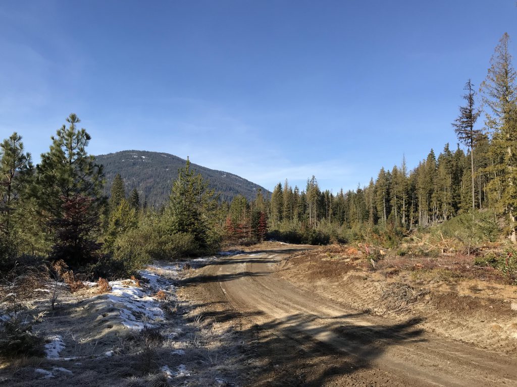
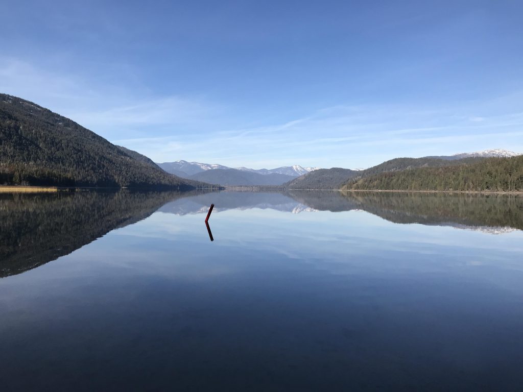
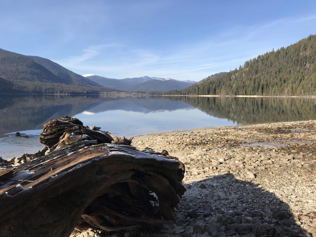
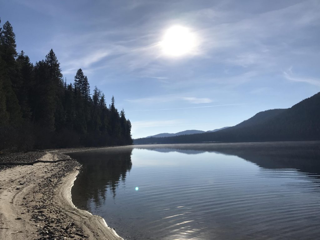
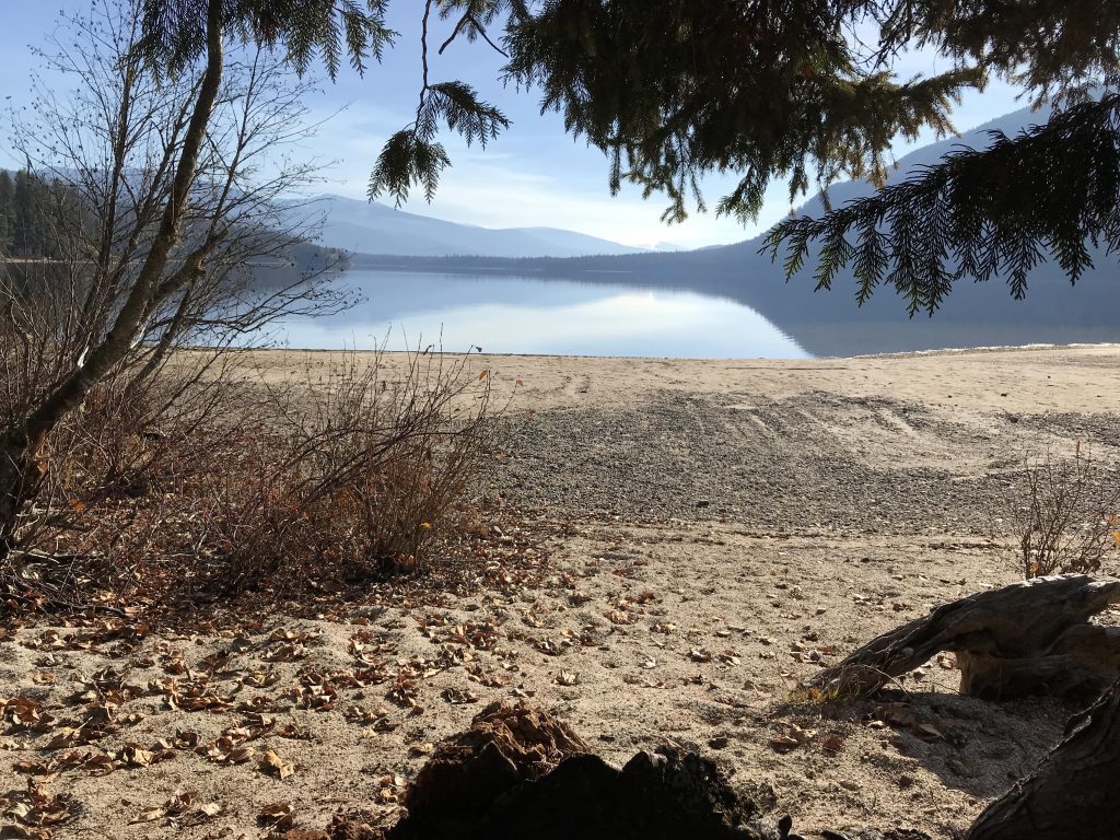
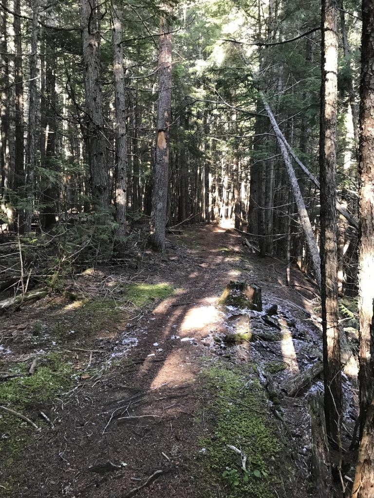
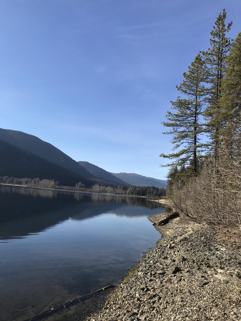
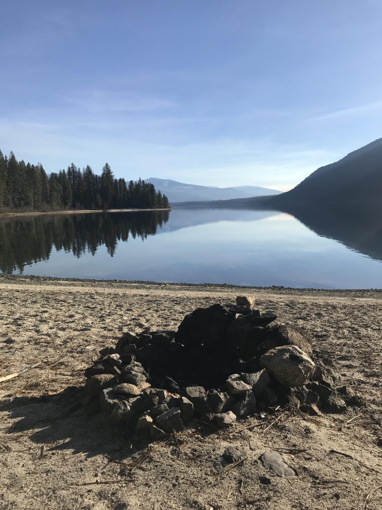
      Cross it and pick up the singletrack on the other side, now closed to motorized vehicles. Within another half mile you’ll come to the intersection to Geisinger campground, branching off to the left. This is a rather pretty spot, well worth a visit or stay. Then, continue on through the woods to meet up with Upper Priest Lake near the 5-mile mark. The trail then parallels the lake closely, crossing many sandy beaches and offering plenty of extravagant views across the lake and of Plowboy Mountain.

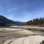
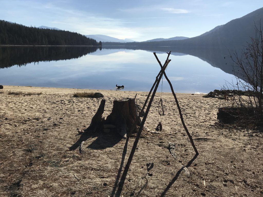
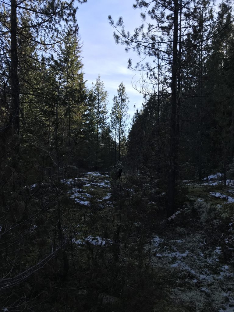
      About 6 miles from the trailhead is the Trapper Creek campground, featuring pit toilets, extensive sand bars, and a bridge across Trapper Creek. Soon after crossing that bridge, the trail forks, with the right-hand trail rising up over Trapper Creek, which makes for nice hiking, as the water rushes past far below. The trail eventually spills out onto a forest road that connects to FR-655, but this road is rather overgrown, hemmed in on both side and quite boring. We turned around at the 8-mile mark.

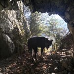
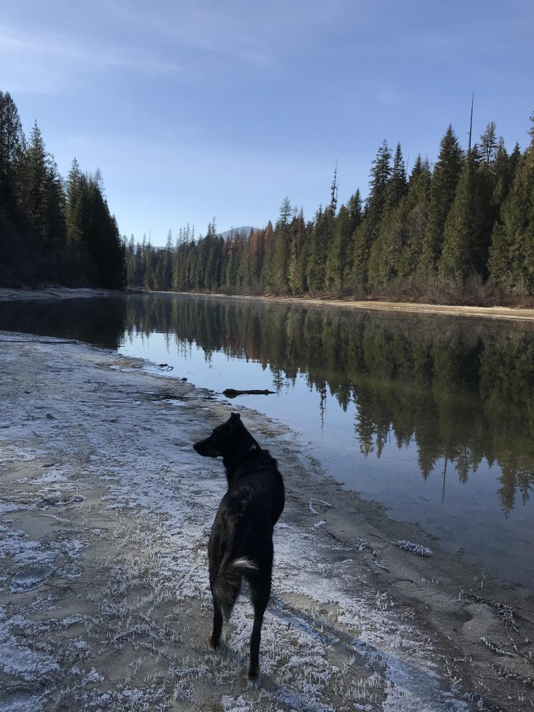
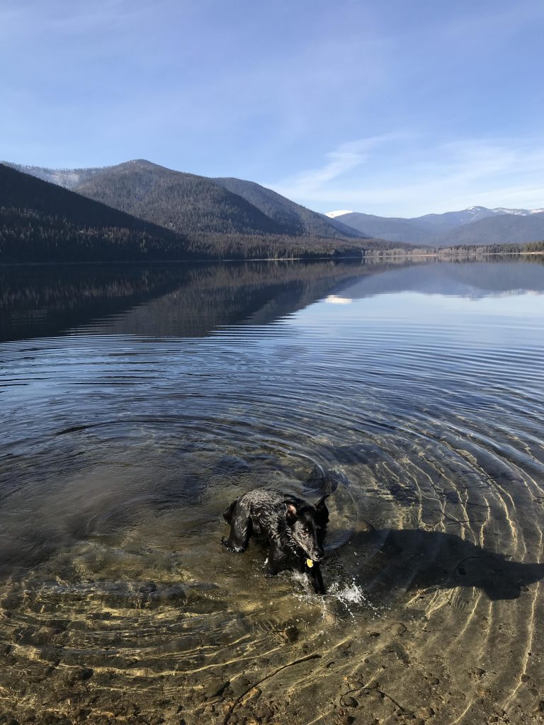
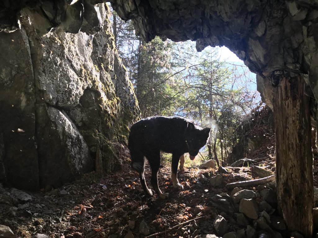
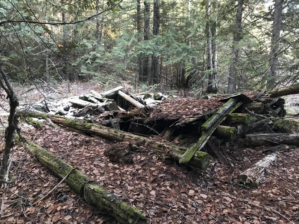
      Back on trail 58, we headed north again along the lakeshore and come upon a small exploratory mine, about 20 feet deep. Naughty checked for bears and found none, thank goodness. The hiking along the lakeshore to the north end is rather nice and beats the Trapper Creek forest road anytime. From the north end of the lake, the trail, now called #302, continues on to FR-1013, but we turned around once we found the old decaying log cabin buried in the woods.

      On the way back we tried to find an alternative route to the fording of Caribou Creek, but found none.

      Alternate Routes

      • Trail 302 continues to FR-1013 if you want to do this one-way. It’ll be a long shuttle drive…

      Things to Consider

      • Expect a lot of boaters in the summer

      Not so great

        Tank trap near the trailhead
        A campsite on Caribou Creek
        Caribou Creek crossing
        An unsigned forest road is crossed about a mile in. Look for…
        …this on the other side, where the singletrack continues
        Geisinger campground
        View of the Upper Priest
        Naughty near the Thoroughfare
        Upper Priest Lake
        Much of the trail leads through the woods
        Driftwood on Upper Priest
        Naughty doing what Naughty does best
        Expect some nice sandy beaches!
        A boater’s camp on Upper Priest
        More sandy beaches
        Sand bars near Trapper Creek campground
        Bridge across Trapper Creek
        Trapper Creek trail
        The Trapper Creek trail perches high above the creek. The forest road beyond the bluff isn’t so great
        Upper Priest, looking north
        Naughty checking out the cave
        Firepit at one of many dispersed campsites
        An old log cabin. Supposedly Coolin’s. Not much left