- Selkirk Mountains
- At either lake, the better spots are on the south side of the upper lake
- Excellent, but the branch-off from the forest road is not signed!
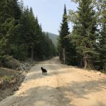
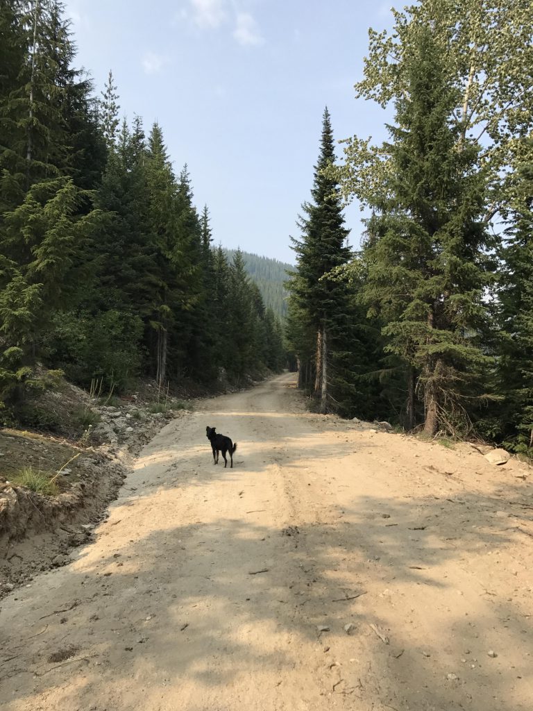
The Scribe didn’t look so chipper when he backed the truck into the miniature vestibule at the junction of forest roads #658 and #633. The hikes earlier in the day had taken their toll. Anxiously, I watched him pull out his cell phone and check the time. Past 4 pm. Then he opened the weather app to figure the projected sunset. No signal. If he’d paid attention, he’d have known the sun set at 8. I happen to pay attention, and knew the nine-mile roundtrip hike would no problem. Piece of cake, in fact.
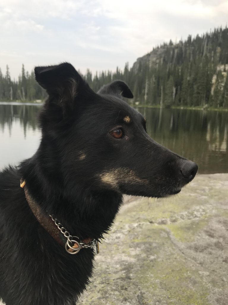
After an endless second, he finally dragged himself out of the car and opened the rear. I surged past him as soon as the door was open just the smallest gap and scampered across the dusty forest road. Immediately, I picked up the scent of squirrels and clambered up the steep escarpment of the road and headed into the trees, where the squirrels blabbered and chirped and warbled, astounded by my achievement. The Scribe claims they are scolding me, but he’s wrong about that. He’s wrong about a lot of things, especially when it comes to the accuracy of USGS maps. But more on that later.
The Scribe blew his whistle, which is the signal for me to head back. He had his backpack strapped on and his hiking poles ready. Good. No pack for me, and his holding the poles meant no leash to hold onto me. Excellent. I approached him, to stroke his ego, then immediately lurched away in pursuit of a ground squirrel I spotted up the road.
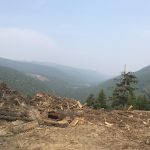
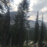
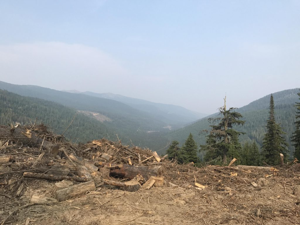
We followed the forest road for about 1.5 miles, steadily uphill, with what the Scribe told me were pretty views of the Myrtle Creek valley. I don’t know what’s pretty about it, because I saw no squirrels there. They hid in the gigantic piles of uprooted stumps the loggers had left behind by the side of the road. A bit more than half a mile into the hike, the road switchbacked and headed southeast, then mostly south to another switchback at the 1.5-mile mark.
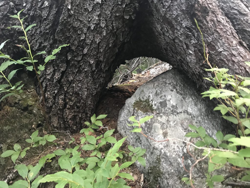
At this spot I found a single-track veering off into the forest. Of course I pursued it. Then that dreaded whistle blew. The Scribe, perusing his USGS topo maps, explained that we were way off track and our trail would be much higher up, ascending the ridge. We were in luck, though, he said, because the forest road headed in exactly that direction.
Now let me explain two things. One, whenever the Scribe talks about luck and strategic thinking, run for the hills! Two, the hiking trails on the USGS topo maps haven’t been updated in over 20 years! But what’s a dog to do? You follow the “leader”, no matter what imbecile he is, into the bushes and hope for the best. Thus, uphill we marched. That is, the Scribe marched and I indulged myself in the pursuit of rodents of all kinds. The road climbed steadily, eventually reached the ridge, and headed down the other side. This wasn’t what the Scribe expected. I can’t tell you what I expected at that point, because I was majorly peeved. The Scribe, having spotted two white-tailed deer, had clipped the leash on my collar and pulled me off the road before I could engage in battle.
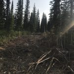
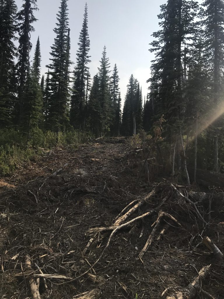
He decided that the hiking trail must be obliterated by the tracks of the timber harvester. That was entirely possible, as said harvester had made a royal mess of anything green and brown. We followed the tracks uphill, along the spine of the ridge, until they ended. And there was no hiking trail. Not the smallest semblance of a hiking trail. Nothing.
Which didn’t perturb me, to be honest. Bushwhacking is perhaps my favorite activity, as long as it doesn’t involve sheer cliff overhangs. Alas, the Scribe isn’t quite as fond of it and after a lengthy investigation into our alternatives, or the lack thereof, he decided to head back down and take the trail that I wanted to take in the first place.
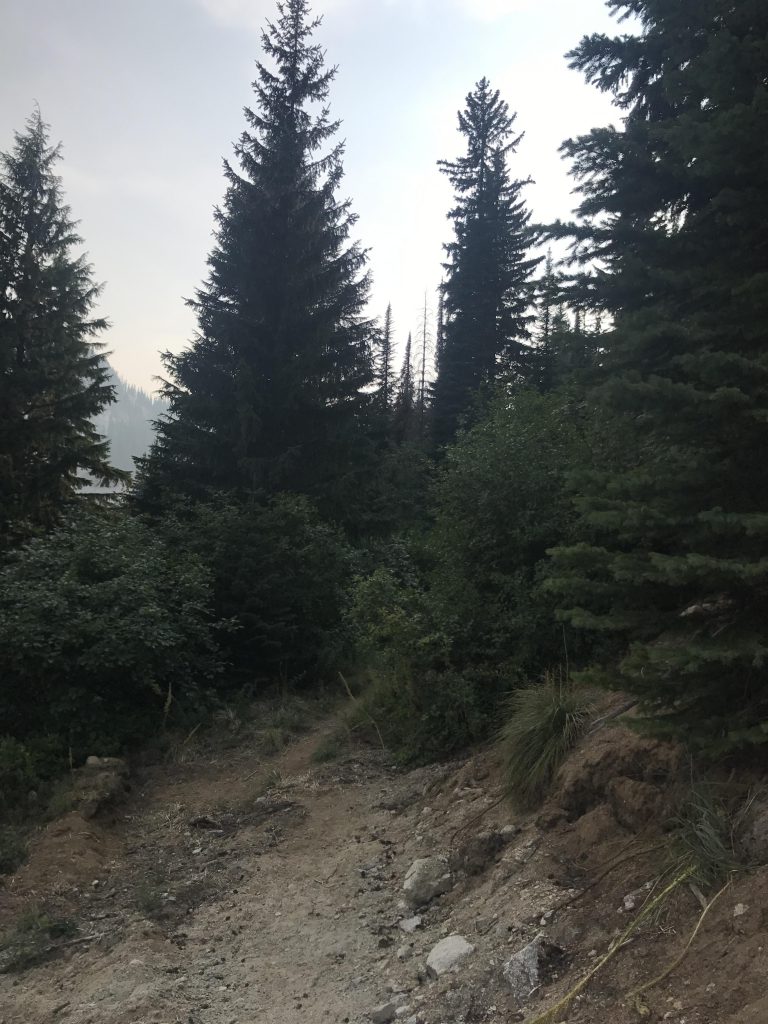
Off we went and soon enough we were back where we were supposed to be. We took the singletrack into the woods (beware, this isn’t marked or signed in any way. Watch your mileage; it’s at the switchback 1.5 miles up the forest road) and picked up the pace, our little 1.5-mile side-trip really not helping with the approaching sunset.
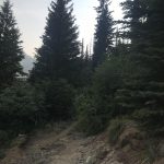
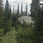
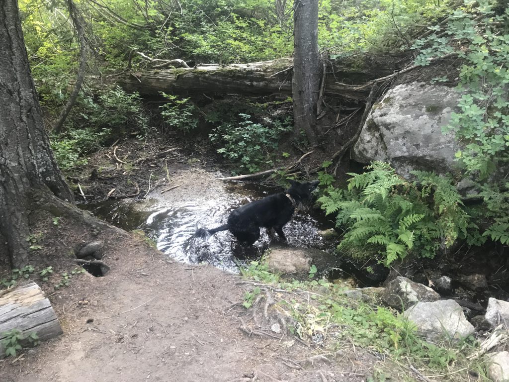
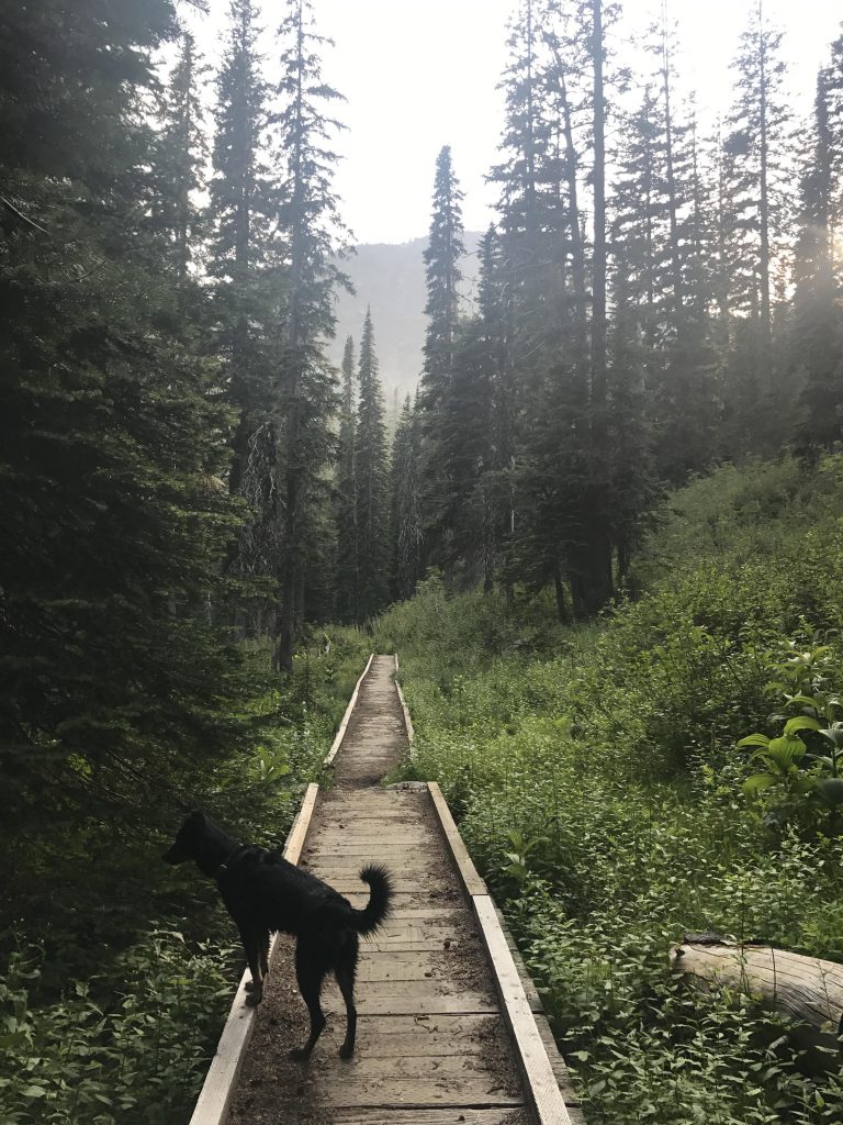
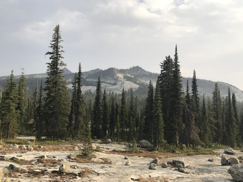
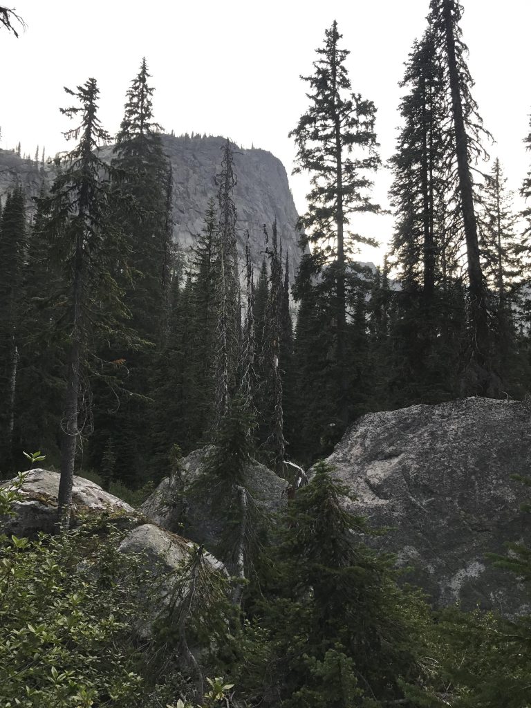
The trail heads westward and uphill and is well-shaded by a fir and spruce canopy that limit the views to a bald rocky knob to the south, the tail end of the ridge that the trail eventually traverses. There are some blazes on the trees, but the trail is fairly easy to follow anyway, though it does cross several tributaries to Slide Creek. As you get into the Slide Creek headwaters, the terrain levels off a bit and gets boggy. But don’t despair, if you hate to get wet feet (I treasure it), for two sizable sections of boardwalk bridge the worst of it.
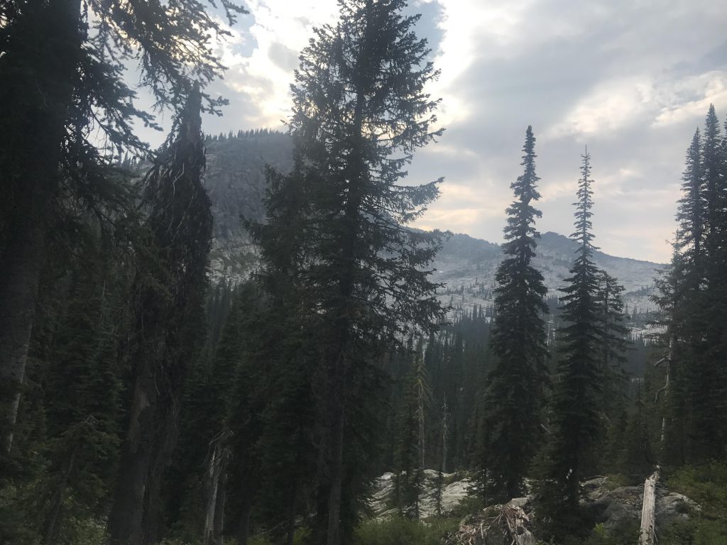
The trail hugs the mountainside closely, skirting the Slide Creek basin and turning southeast-wards at the 3-mile mark. The slope then gets much steeper on the approach to the saddle in aforementioned ridge. Following the ridge eastwards presumably gets you to a point with views of Harrison Lake and the Two Mouth Lakes, but the Scribe worried about daylight, and thus we skipped that excursion.
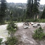
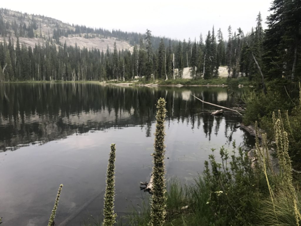
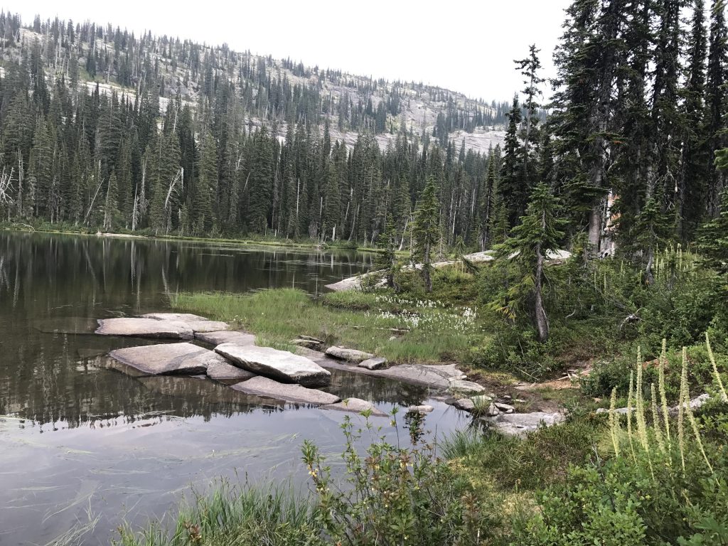
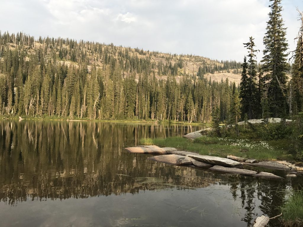
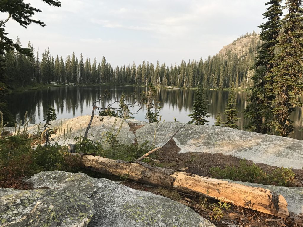
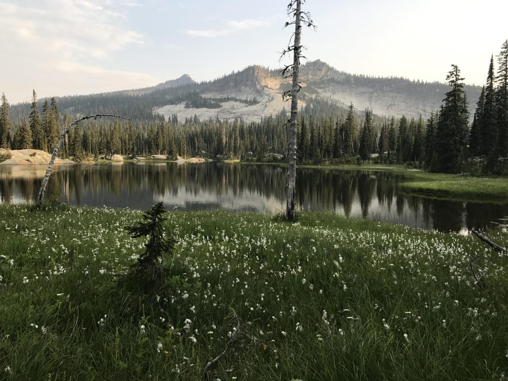
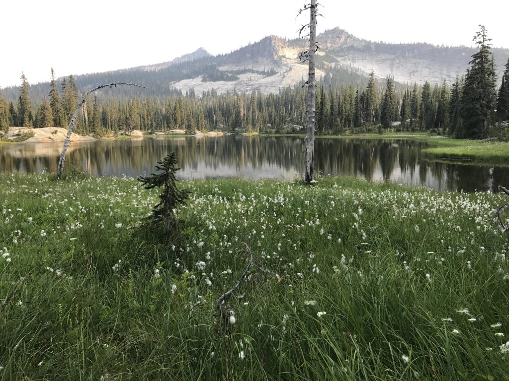
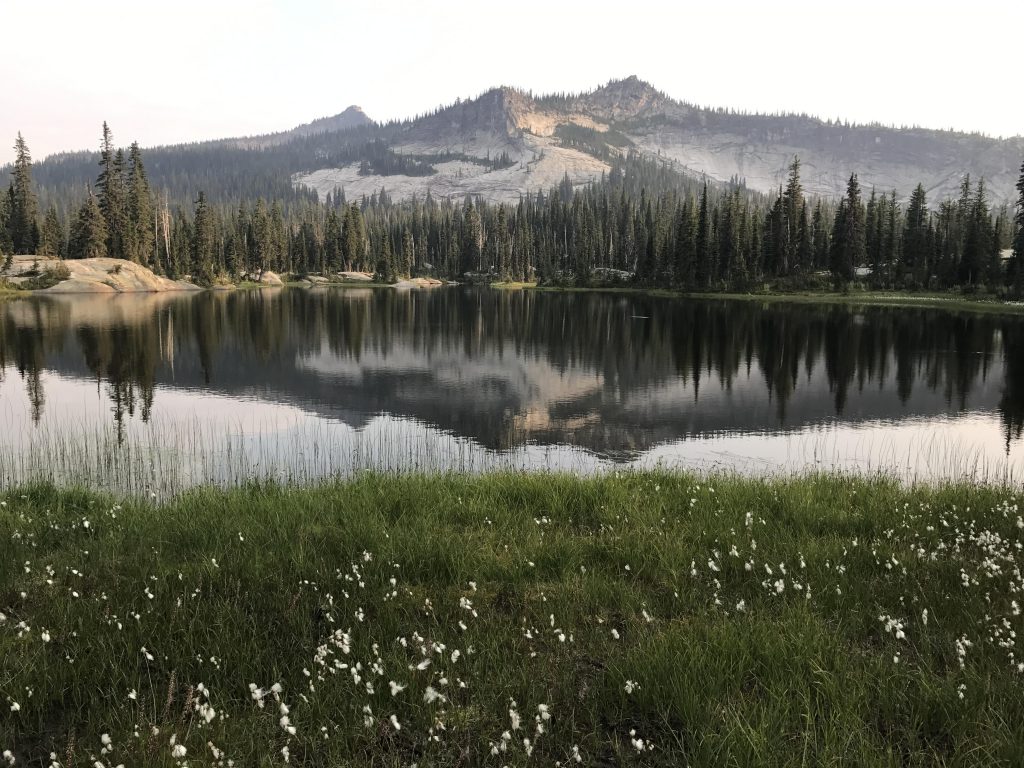
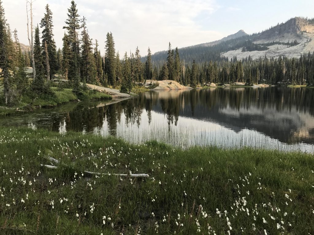
The trail descends gradually on the other sides, though the first coupled hundred yards are a bit rocky. Soon enough we came upon the lower lake and a makeshift sign that read “The Wigwams”. We followed a rough-cut trail to the lower lake, which was marshy but very beautiful, framed by a sea of wildflowers and reflecting an unknown peak. Even I forgot to chase the squirrels for a fraction of a second.
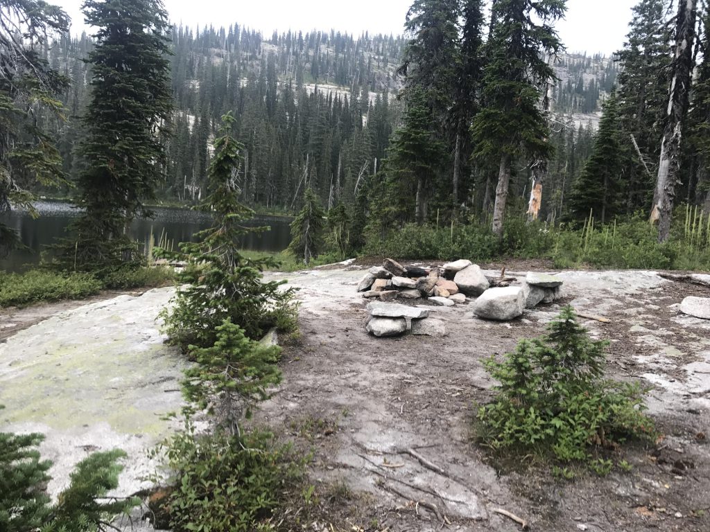
The trail to the upper lake continues southwards, crossing several wide granite slabs, with another spur trail heading towards the southern end of the lower lake. Continuing on the main trail, across more of the granite slabs, finally brought us to the upper lake. Time check: six-thirty. I made a beeline for the lakeshore and jumped right it. How cool and refreshing! Then we circled the lake to the south side, where the granite slap seemed to slip right into the lake. A perfect camp spot, but there was no one there at all. We had the entire lake to ourselves. Serene and quiet.
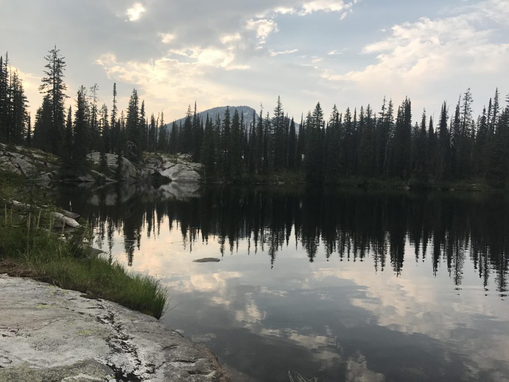
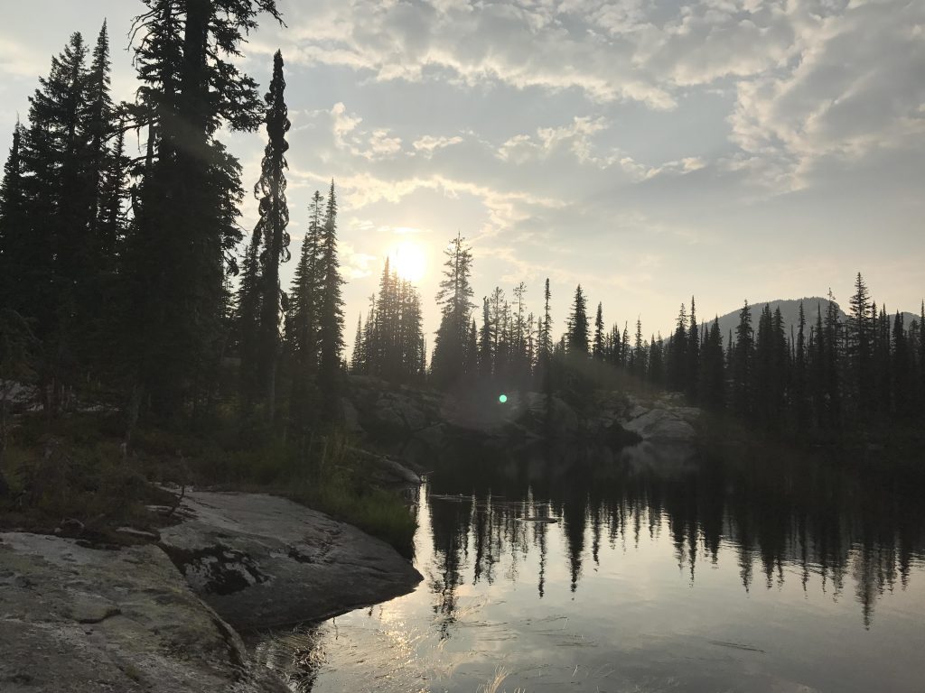
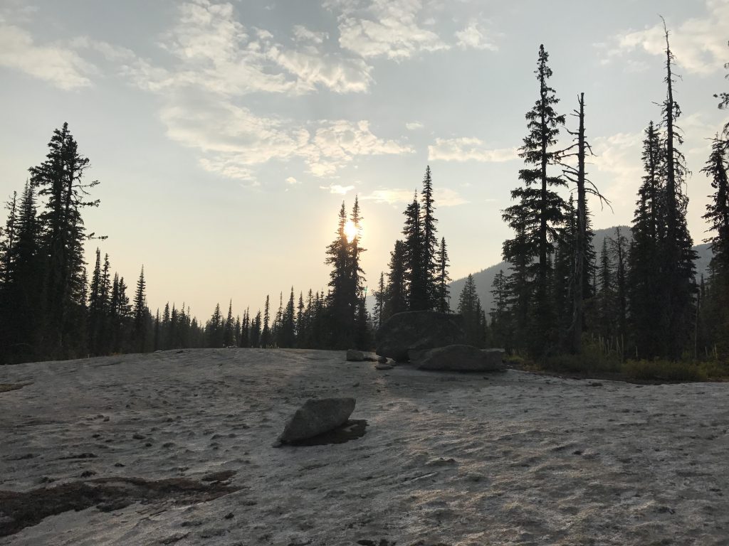
The Scribe filtered water, while I sent the local squirrel population thirty feet into the trees. When I checked on the Scribe he was spread-eagled on the granite, enjoying the last rays of the sun shining between the peaks and through the trees. Even I saw the beauty in that. Then we headed back, reaching the car at 8.15 and all was well….
Alternate Routes
Things to Consider
- If you skip the little excursion to the non-existent trail up on the ridge, lop 1.5 mile off the overall mileage!
Not so great
Haven’t been up there since the logging, sure looks like a mess! One of my favorite places in the Selkirks — and it’s also worth the extra bushwhack up to the top ‘Myrtle’s Turtle’.
I’ll Have to go back sometime to do the turtle to get an aerial shot of the lakes. Definitely a lovely place!
That lake is sure gorgeous! I loved the narrative!
It’s amazing how absolutely quiet it got all alone next to that lake. Loved it!