- Channeled Scablands
- Not allowed
- Excellent except for flooding
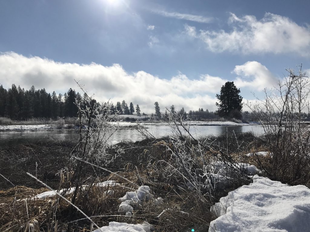
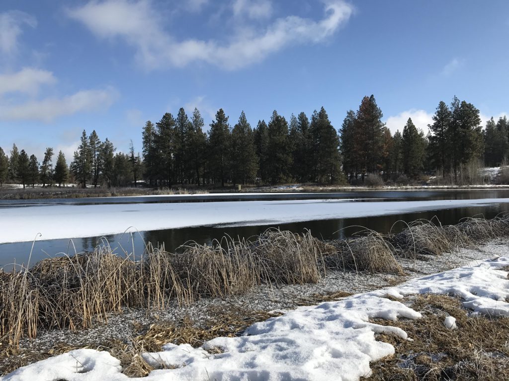
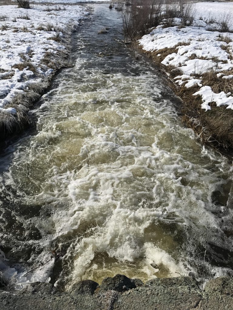
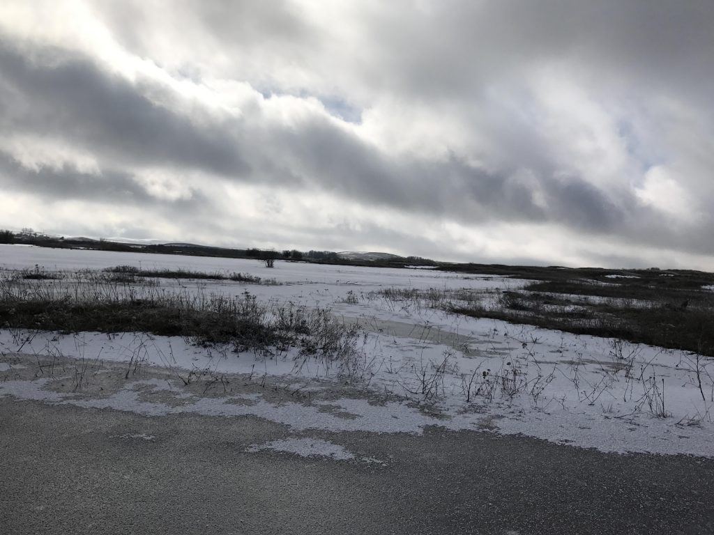
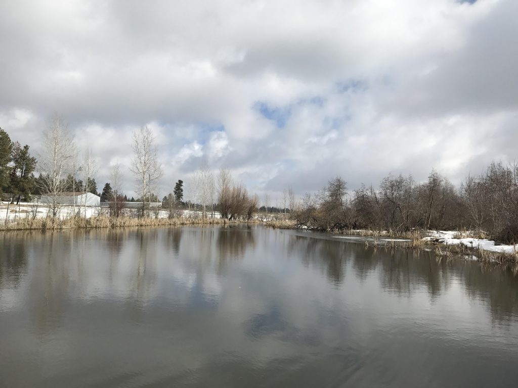
The trail starts south of the parking lot, on the far side of the road, offering a fabulous view of Winslow Pool. The trail is blacktopped in this section, as it heads south and around the lower end of Upper Pine Lake. A group of swans took to the skies and flew south as we approached. The water level was exceedingly high in the lake and the water squeezed like a torrent through the narrow exit chute. Not surprisingly, the water flooded the trail in the southeast corner of the lake (it was more than ankle-deep).
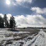
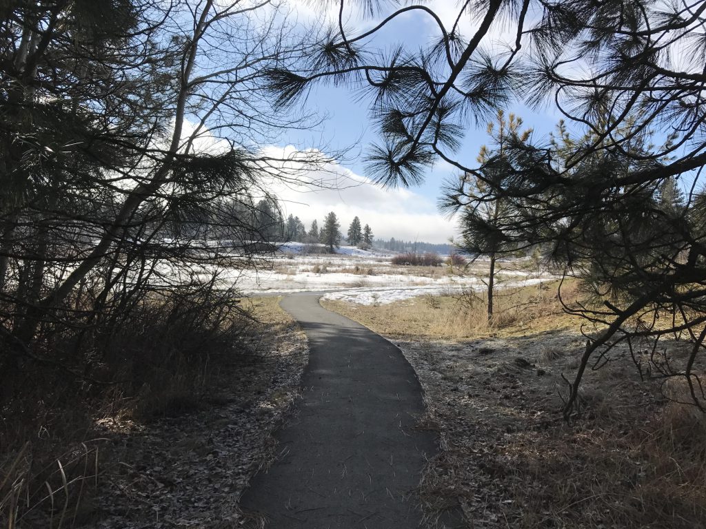
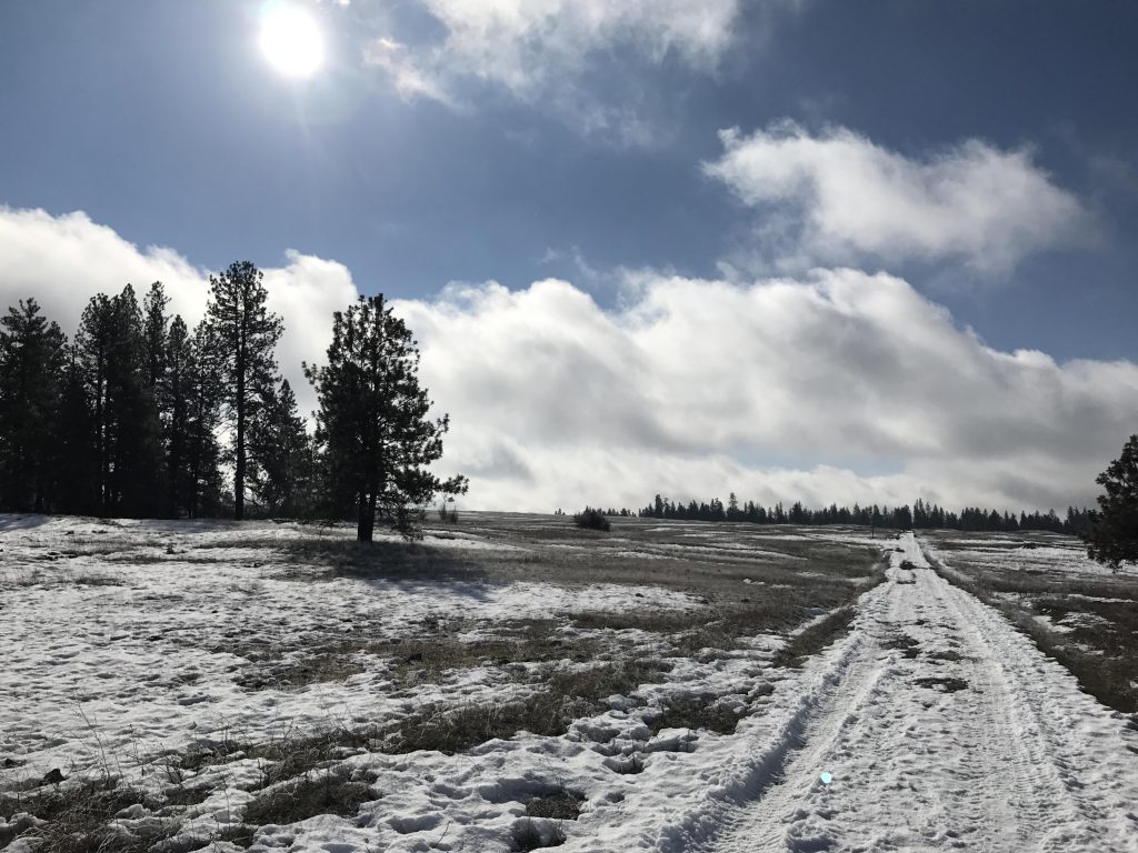
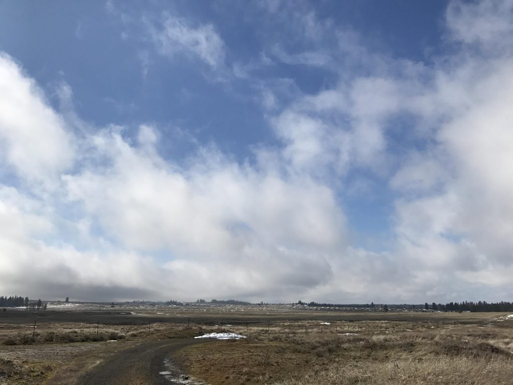
The trail heads north for just a short while, then splits and the right-hand trail moves east and meets up with the Headquarters Trail. Here, take a right to head south across intermittent forests and open grasslands.The trail soon splits again and an arrow indicates to take a left (east) for the Stubblefield Trail. Few trees grace this section of trail, yielding instead to grassy steppe, dotted with numerous small mounds resembling giant mole hills.
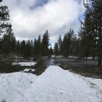
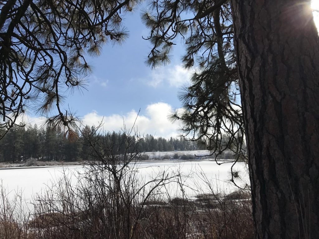
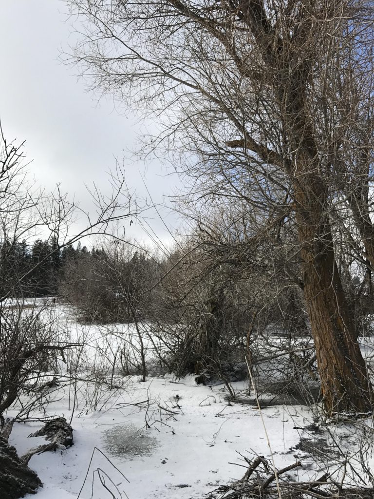
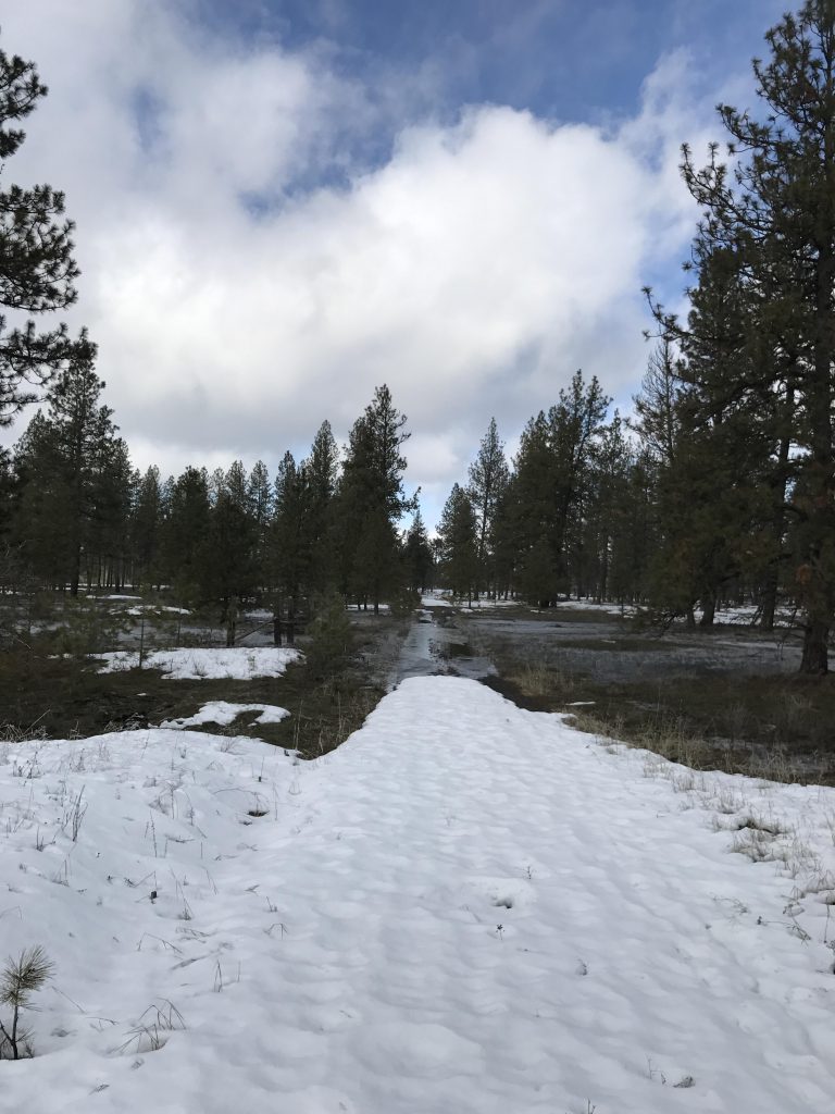
An easy and wide doubletrack leads across this grassland to reach Stubblefield Lake after about 2.5 miles. The lake was frozen over and snow-covered. On leaving the lake, the trail turns south and reaches the sanctuary’s boundary after another half mile, marked with a long straight line of barbed-wire fencing. The snow-covered trail then turns west and heads back to the Pine Lakes. It reenters the Ponderosa forest and here you’ll likely encounter the worst flooding, almost a half-foot deep, and gracefully disguised by a quarter inch of ice.
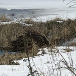
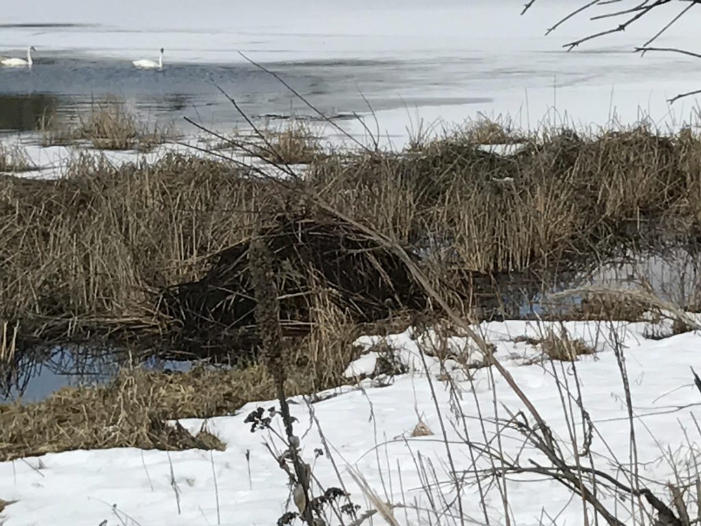
At the lake the swans made another appearance and we spotted what looked like musk rat lodge. An observation platform is near the bottom end of the lake. The trail now heads north, paralleling the eastern shoreline of Pine Lake and eventually meeting up with the trail hiked on earlier.

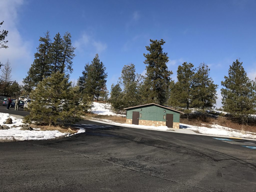
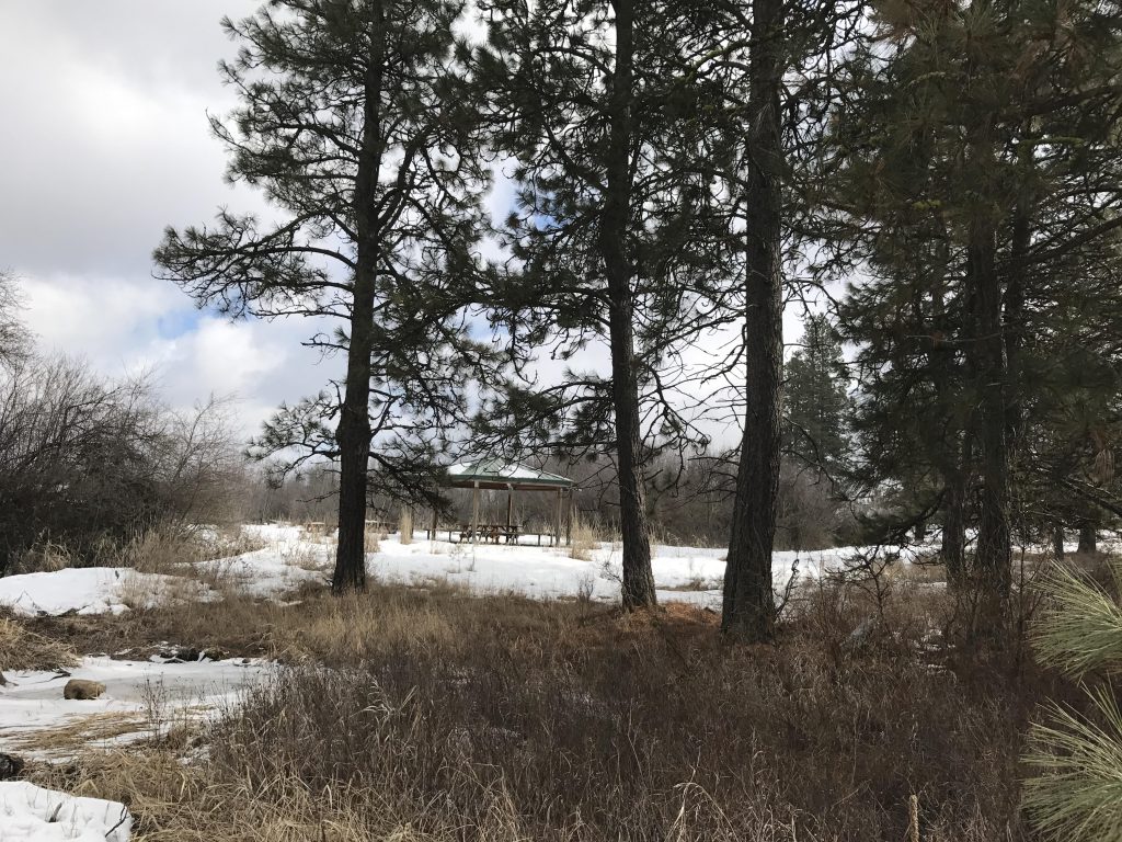
Continue north on the wide double-track through thin stands of Ponderosas to the refuge’s headquarters. A quaint pond awaits to the right, as well as a picnic pavilion. Cross the bridge and head through the park headquarters to the main road, which leads in a westerly direction back to the trailhead.
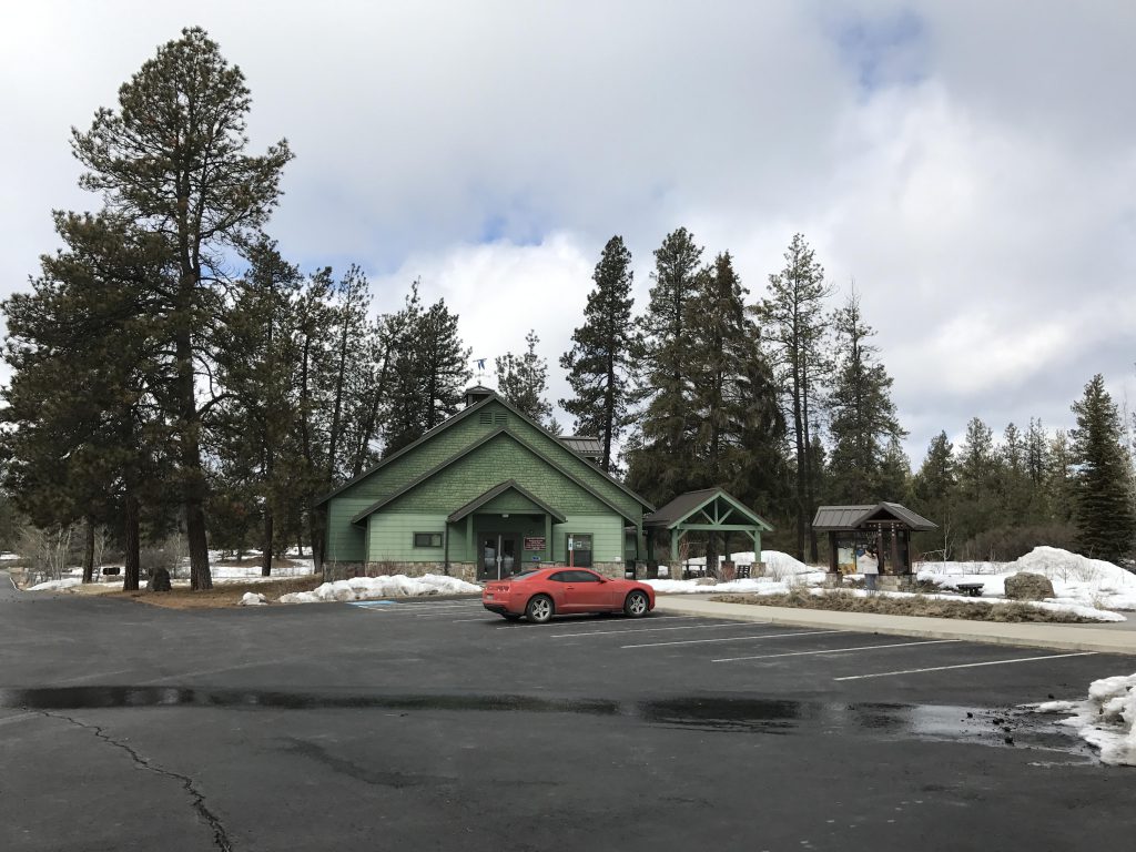
To extend the trail, take the Bluebird trail on a loop of the norther section. To get to the trailhead, follow the Auto Tour Route north for a few hundred yards. The parking lot will be on your right. To turn the Bluebird trail into a loop, you’ll have to walk a fair bit on the Auto Tour Route; the loop will be about 4 miles total.
Alternate Routes
Things to Consider
Not so great