- Coeur d’Alene Mountains
- None
- Good, but trail signage in the lower third is insufficient
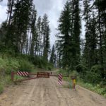
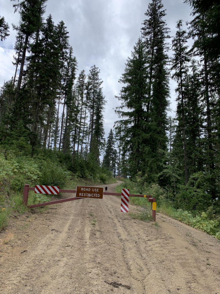
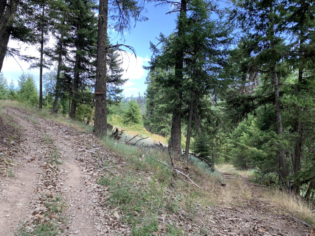
Unfortunately, the trailhead to Sunset Peak is not marked in any way. It starts out on a logging road on the south side of Delta-Murray Road, winding uphill to a gate signed “restricted access”. Past that you’ll enter a clearcut and a confusing array of skid roads. You pretty much just want to stay on top of the ridge, at least for the first 1.5 miles. At that point you’ll get to a fork with a sign, an arrow pointing left. However, you don’t want to just take the left fork, you actually need to leave the logging road and head into the woods (this is not obvious at all) where you’ll find a twintrack. If you’ve gone past a tank trap you’re on the wrong way, but you can continue and turn left when you reach a short stretch of wider logging road, all but abandoned. Follow it to the end (it is very short) and then bushwhack another 20 yards to find the twintrack. If this route doesn’t work either, you can stay on the logging road until it meets FR-6328, then follow that road until it once again approaches the ridge. This is marked buy a single strand of pink ribbon, which is easy to miss. Climb the embankment and step a few paces into the forest to find the twintrack.
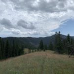
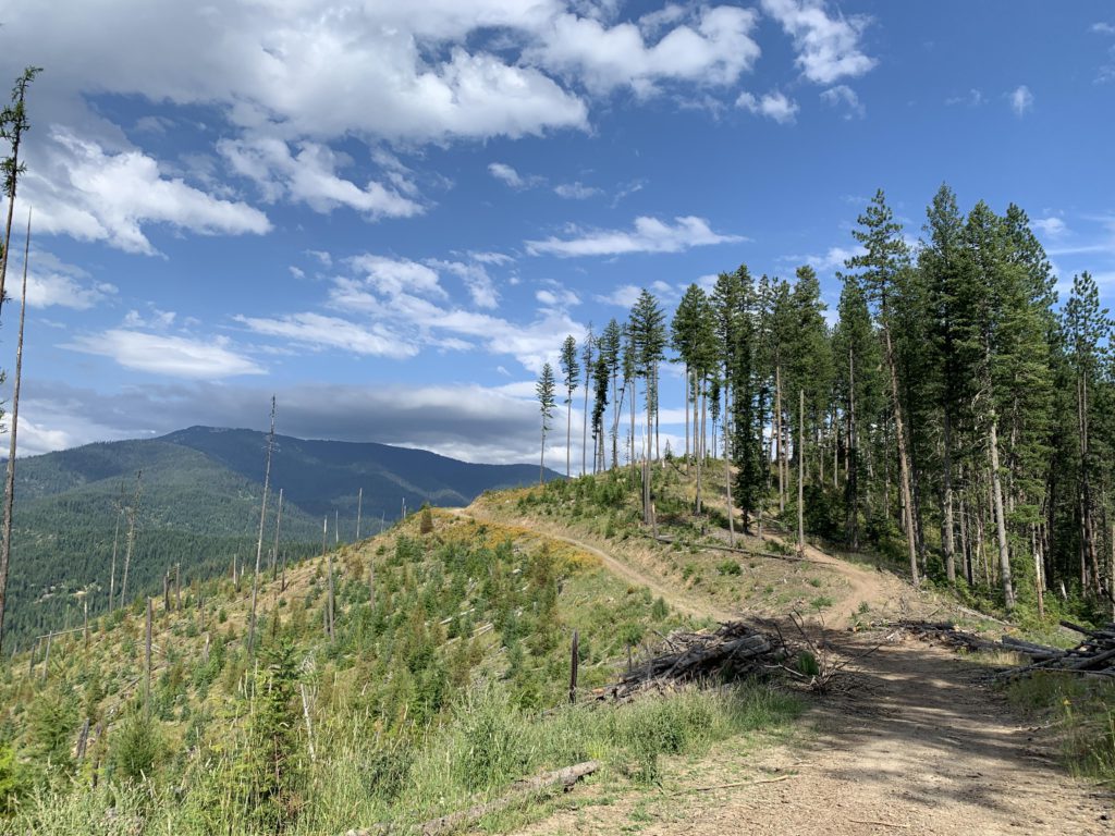
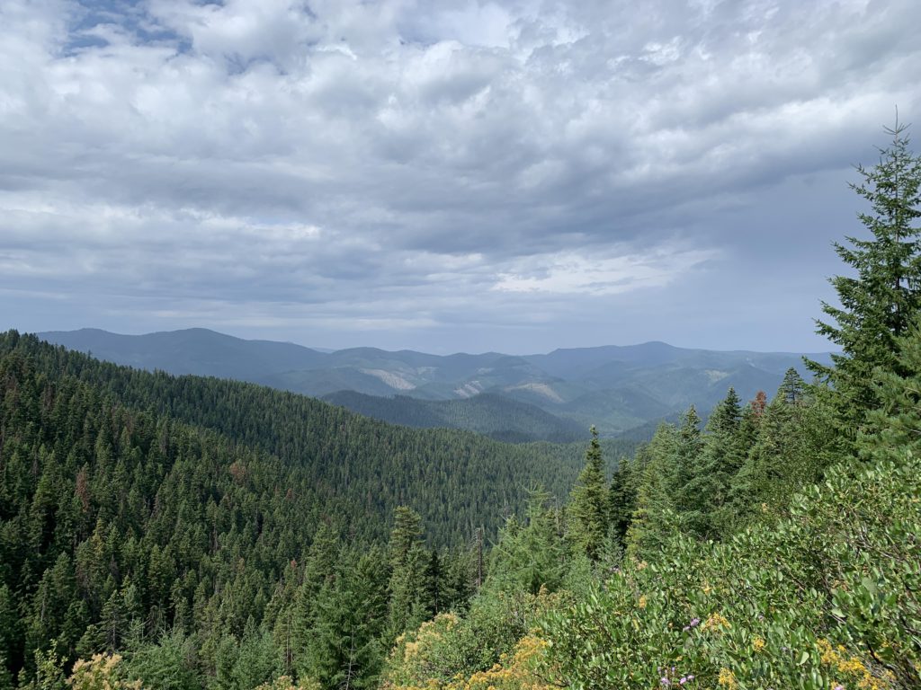
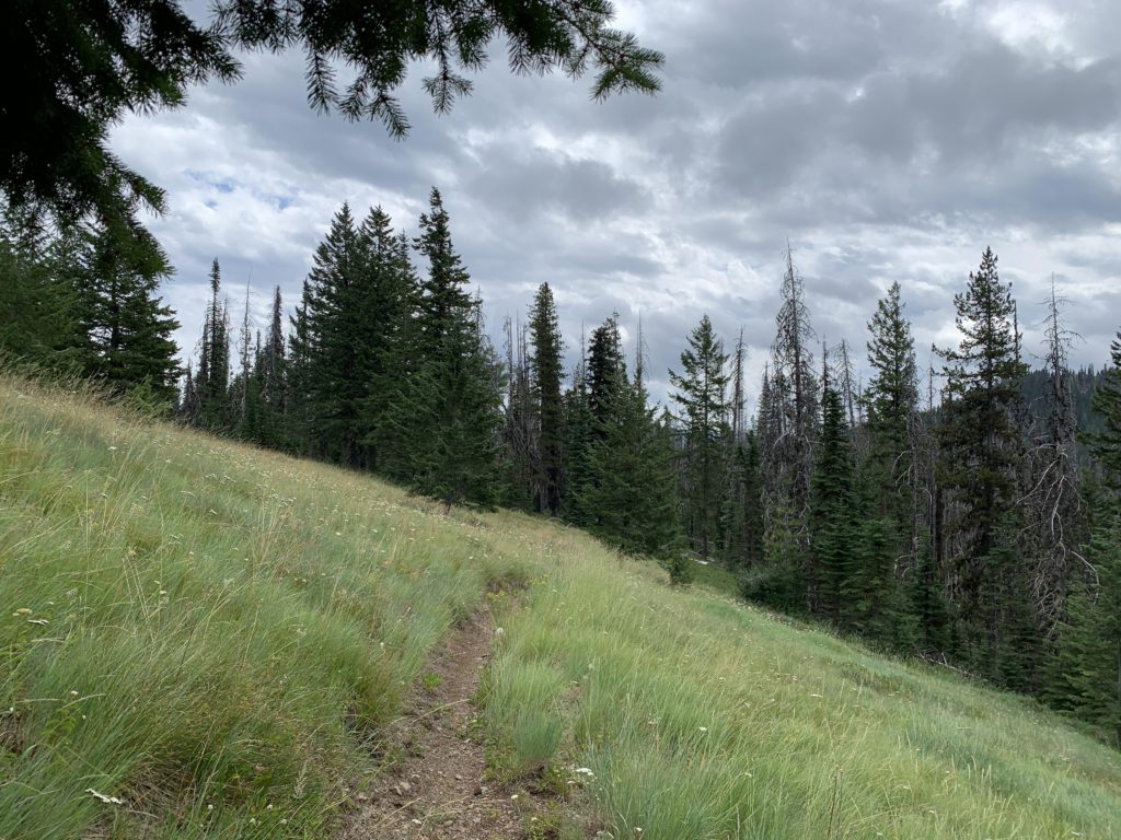
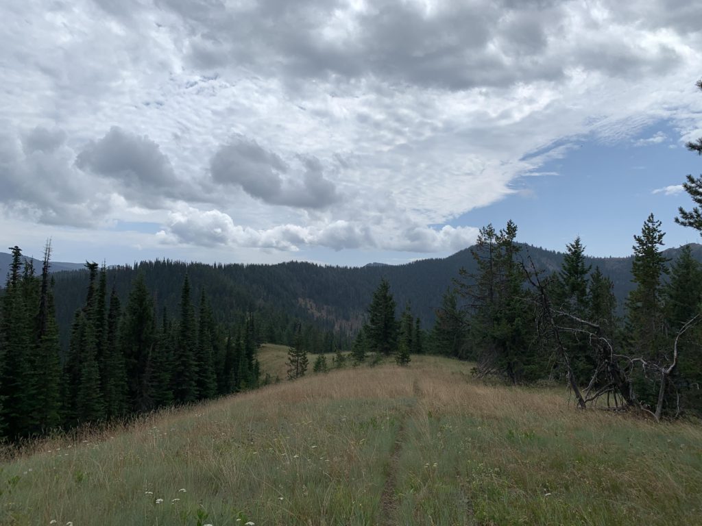
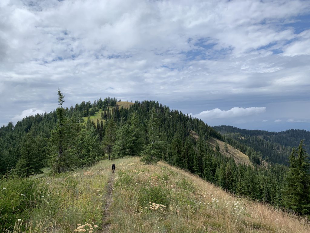
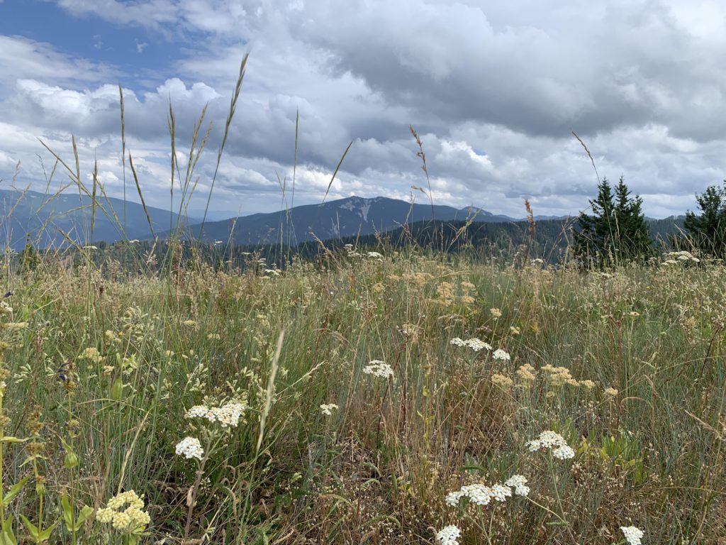
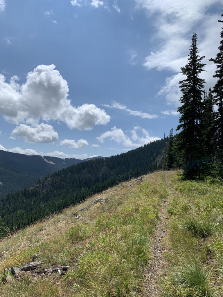
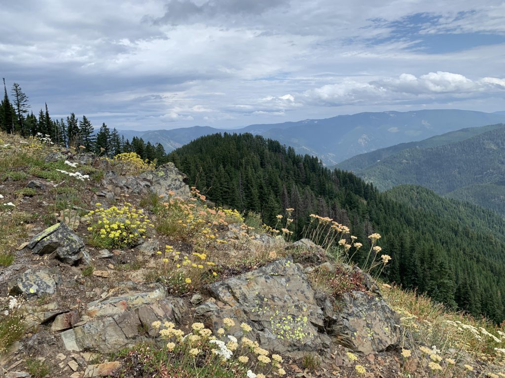
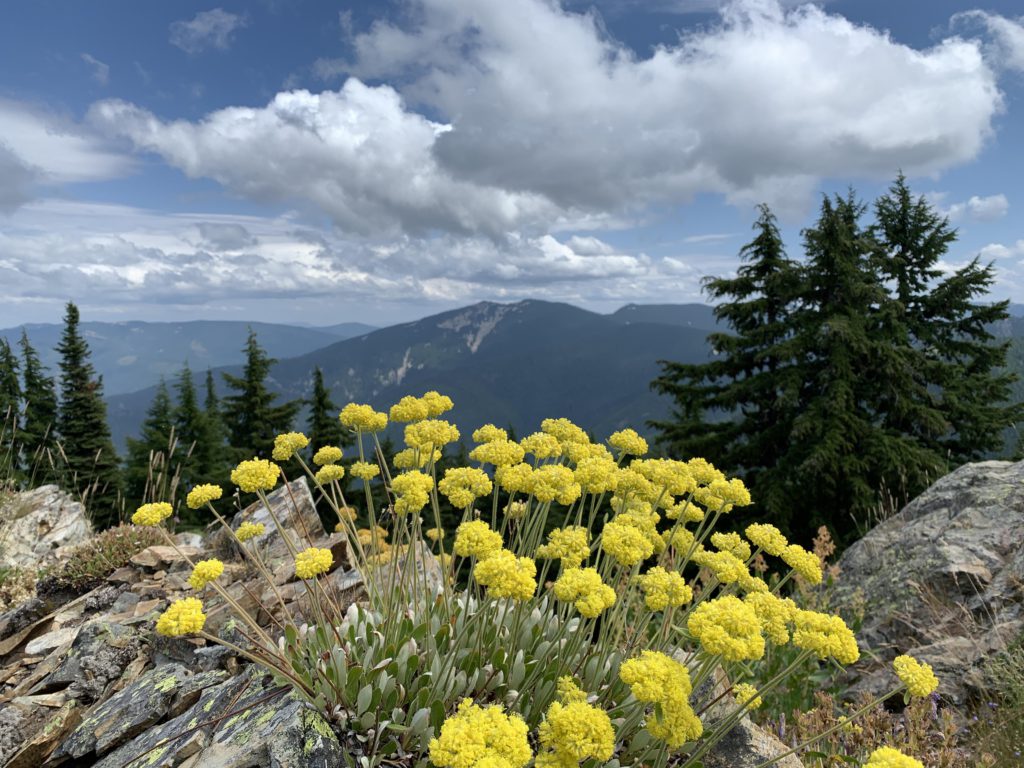
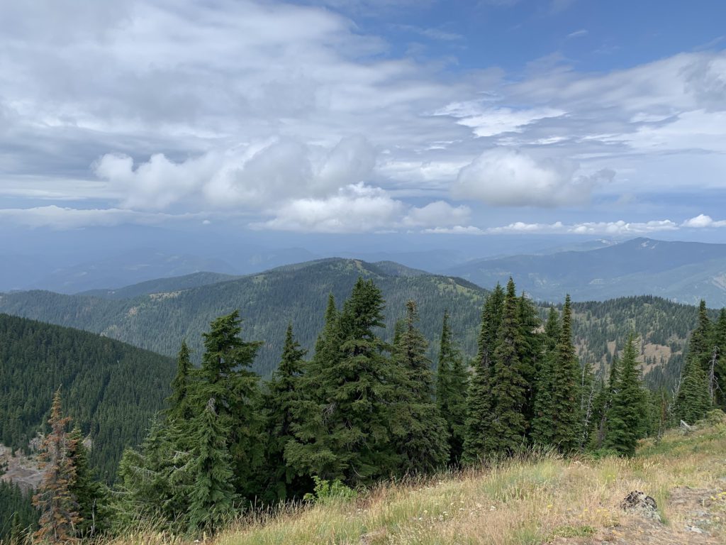
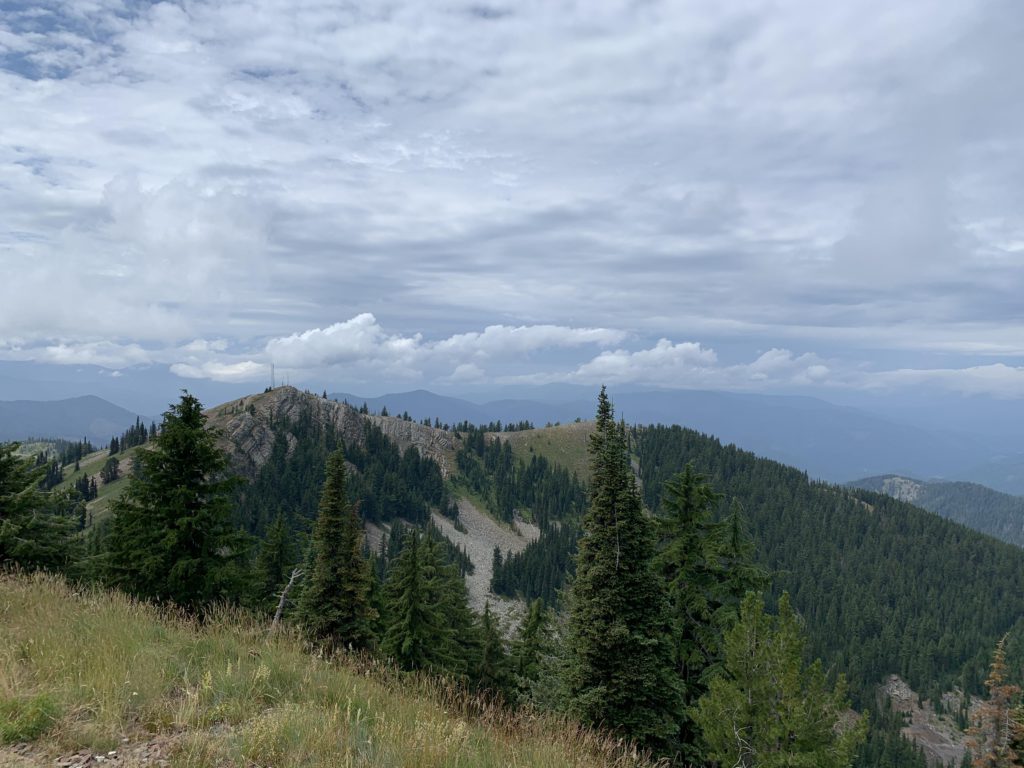
The portion up to Fulkerson Peak is mostly in the forest, with occasional filtered views of hillsides and the tailings piles outside Murray. Once you’re past Fulkerson, though, the landscape changes dramatically and you cross broad swathes of open meadows covered with wildflowers. These meadows are particularly impressive after Pony Peak, with the saddle leading to Sunset Peak one giant meadow.
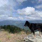
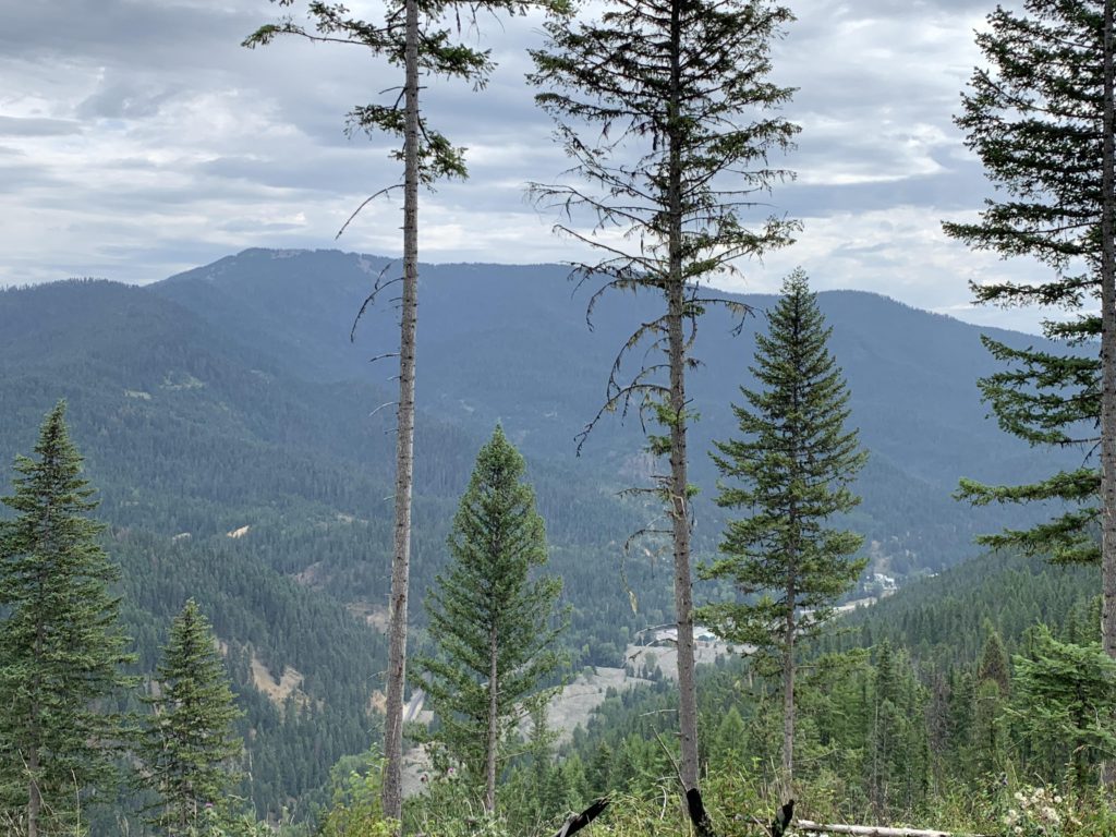
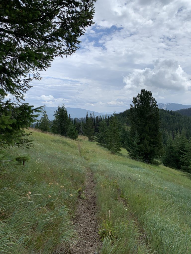
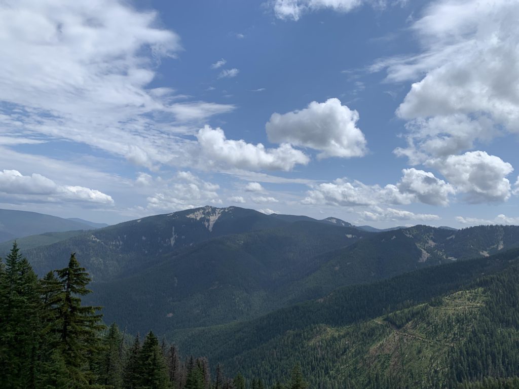
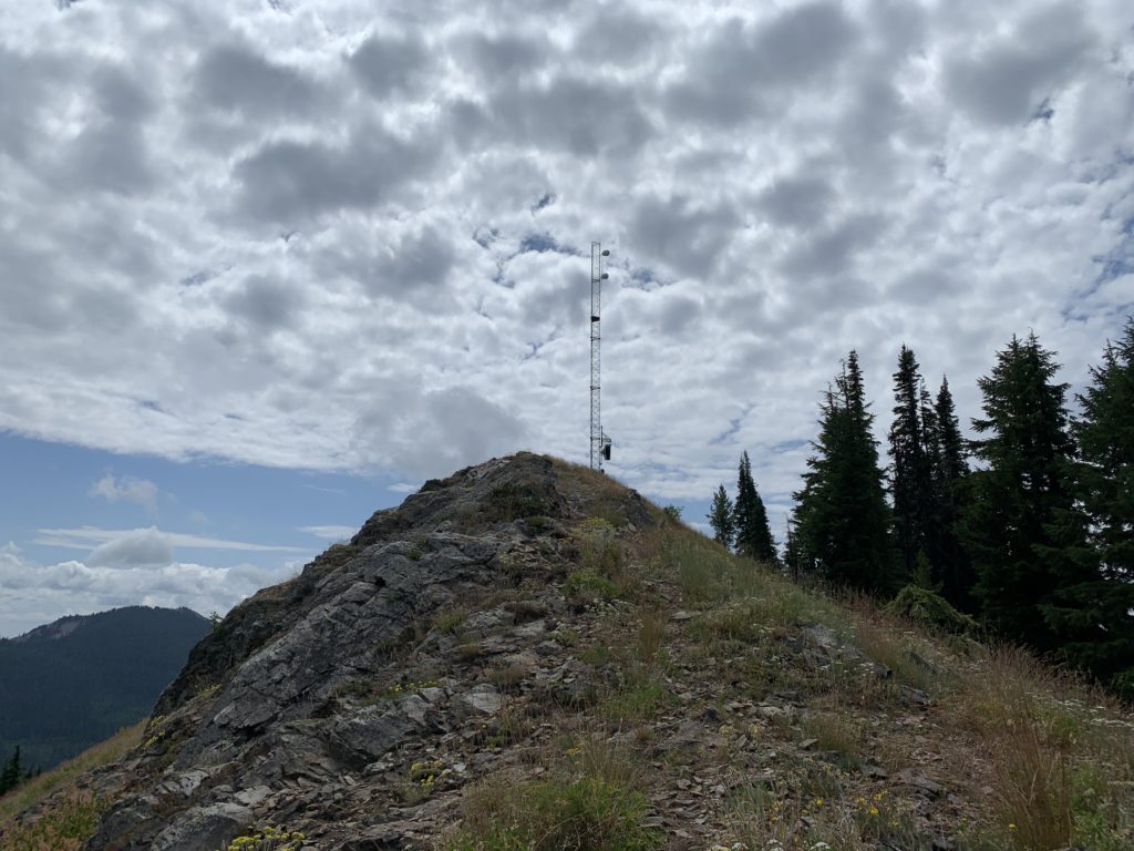
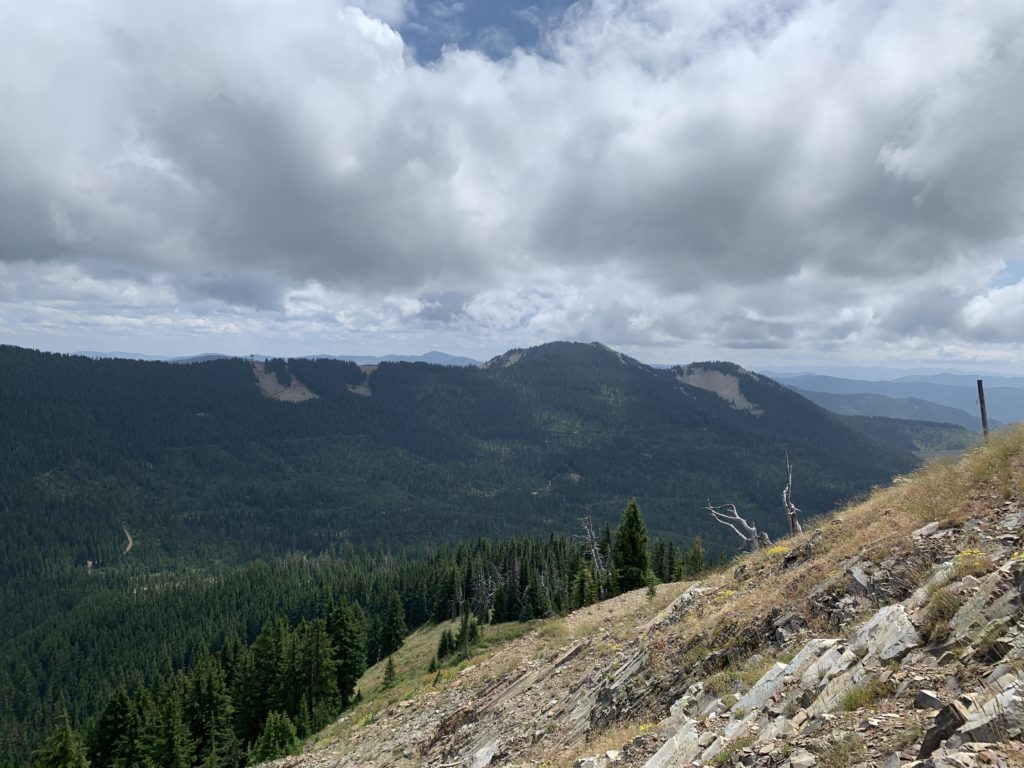
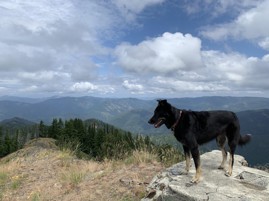
Once the trail heads south towards Sunset Peak, views of Granite Peak open up and the wildflowers get even more spectacular. The trail steepens once again on the ascent to the peak, which was once home to a lookout tower. Now, there is an antenna and a couple of shacks. Views are fantastic, though, be it of Granite Peak, Tiger Peak, or looking back at Pony Peak. The fly in the ointment is the noise from the Bunker Hill cleanup site at the foot of Tiger Hill.
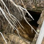
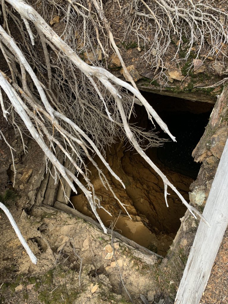
Just below the peak a secondary trail contours along the east side of Sunset Peak. We followed it for a short distance to an abandoned mineshaft. Beyond that, the trail likely drops down to Tamarack Saddle, but we didn’t pursue it.
Alternate Routes
- To extend the hike, drop down to Tamarack Saddle and pick up the trail to Granite Peak (137); this adds about 5 miles one way
- To shorten the trail, start out at Tamarack Saddle for a short, steep hike to the top of Sunset Peak. You’ll miss out on the beautiful meadows, though.
Things to Consider
Not so great
- Trail signage in the lower third is lacking and confusing. The trailhead is not signed whatsoever, and the sharp turn into the woods about 1.5 miles in is easy to miss
- There is no water along the way, except for what lurks in the depth of the abandoned mine shaft