Spar Peak

If you like steep and brushy, then you’ll like Spar Peak. If you like grandiose views of the Cabinet Mountains, then you’ll love Spar Peak, but you may not like the process of getting there. In fact, the trail starts out superb and ends that way, but the piece in the middle is, well, a piece of work…
Location
  • Cabinet Mountains
Rating
3.8 out of 5
Difficulty
More Difficult (steep, brushy)
Distance
6.3 miles
Duration
3:08 hours moving time (Hiking)
Elevation Gain
2,807 feet
High Point
6,584 feet (Spar Peak)
Low Point
3,699 feet (Trailhead)
Features
  • Grove
  • Meadow
  • Mountain
  • Outing Type
  • Daytrip
  • Trail Type
  • Out-and-back
  • Trailbed
    Packed dirt, loose rocks, rocky
    Trail#
    324
    Water
  • Cub Creek (seasonal)
  • Camping
    • None
    Conditions
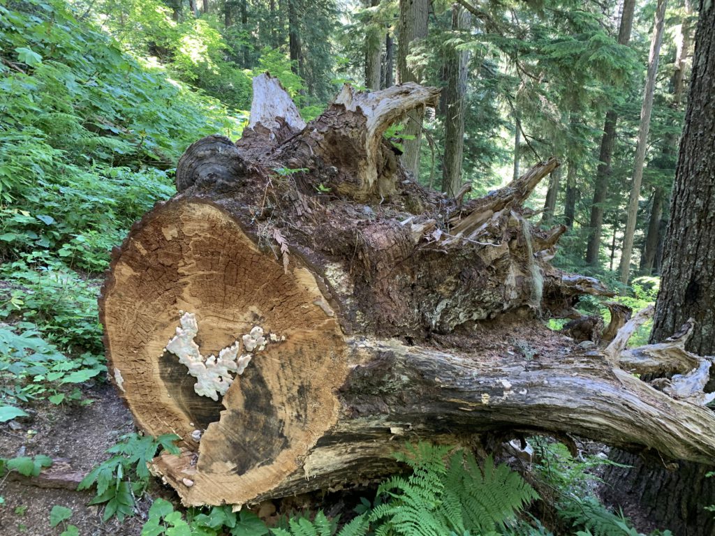
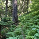
    • The trail was sawed out
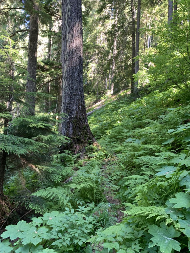
    • The middle section was very brushy. It is difficult to see the roots and rocks hidden beneath the shrubbery
    • Steep
    Administration
  • Kootenai National Forest
  • Status
  • Roadless Area
  • Maps
    USGS
  • Sawtooth Mountain
  • Fees & Permits
  • None required
  • ()
    Open To
  • Hikers
  • Dogs
  • Horses
  • ()
    Directions
  • From MT-56, turn onto Troy Mine Road (aka Asarco Mine Road). It is located between milepost 24 and 25, a few miles north of Bull Lake. After about 3 miles, turn right onto FR-7148 (gravel) and follow that for 1.5 miles. It will merge with FR-384 (mostly blacktop); follow that for 3-4 miles to Spar Lake. At the campground take the dirt road to the right and continue to the trailhead, about 2 miles. Hike roughly half a mile on Little Spar Lake Trail 148 to the trailhead of #324. Alternatively, you could park at the eastern end of Spar Lake and hike the Big Spar Lake trail to the trailhead of Spar Peak; these trail seamlessly connect.
  • Season
    July – October
    Date
    July 18, 2020

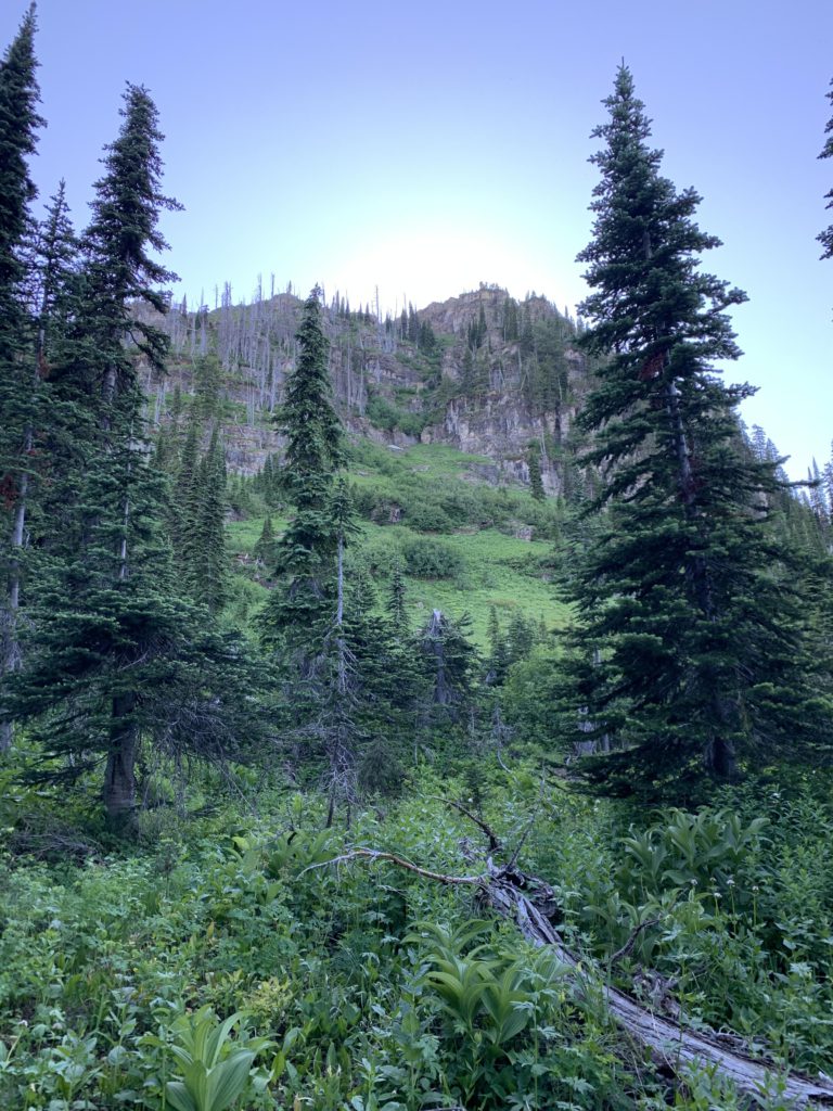
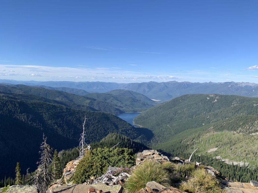
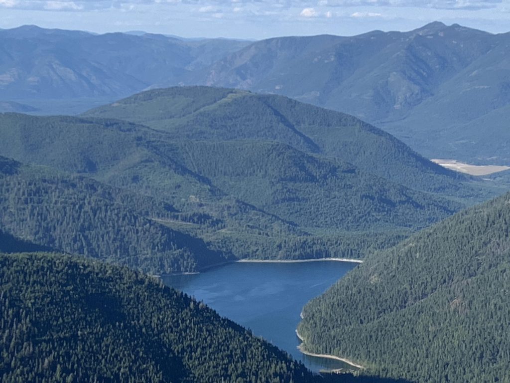
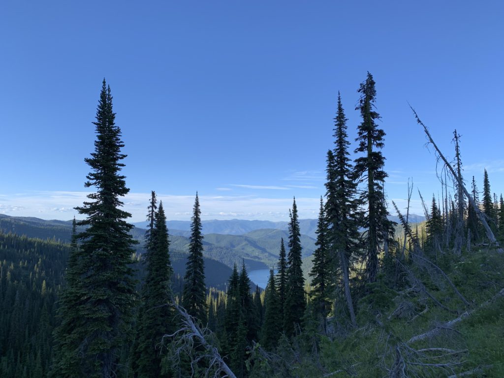
    Trail #324 immediately starts to climb and switchbacks through a dense patch of ferns. Switchbacks, unfortunately, are far and few between, so better get used to the steep ascent. Climbing out of the Spar Creek canyon takes place beneath a thick canopy of cedars and hemlocks that limit undergrowth to a minimum. Alas, with increased elevation come fewer and fewer trees. The positive is that you’ll have a bit of a view, so turn around once in a while and catch a glimpse of Spar Lake.

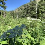
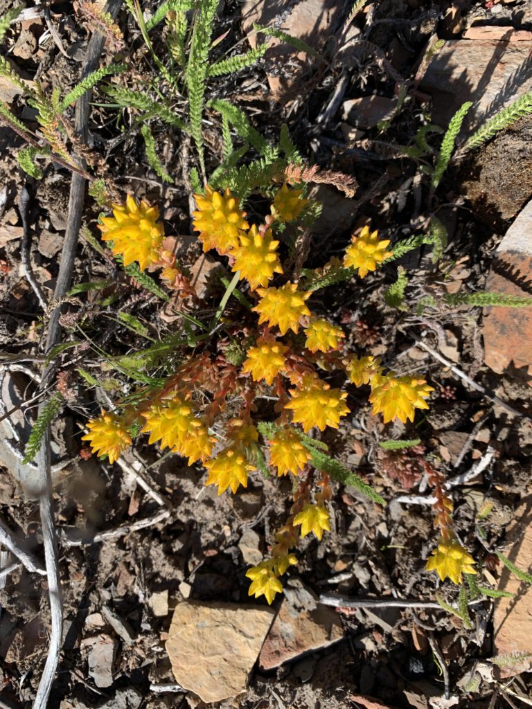
    More likely, however, your focus will be on the trail, which has been sawed out, but the wildflowers (yarrow in particular) are incredibly eager to regain their space. The grade is steep and booby traps in the form of large rocks and roots lurk beneath the shrubbery all too frequently.

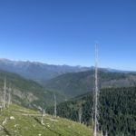
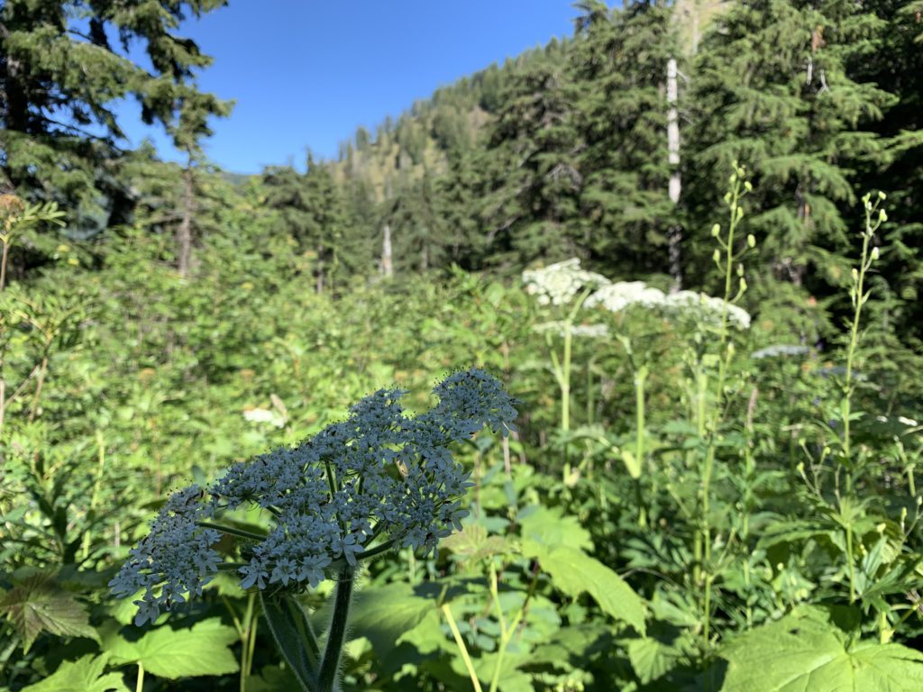
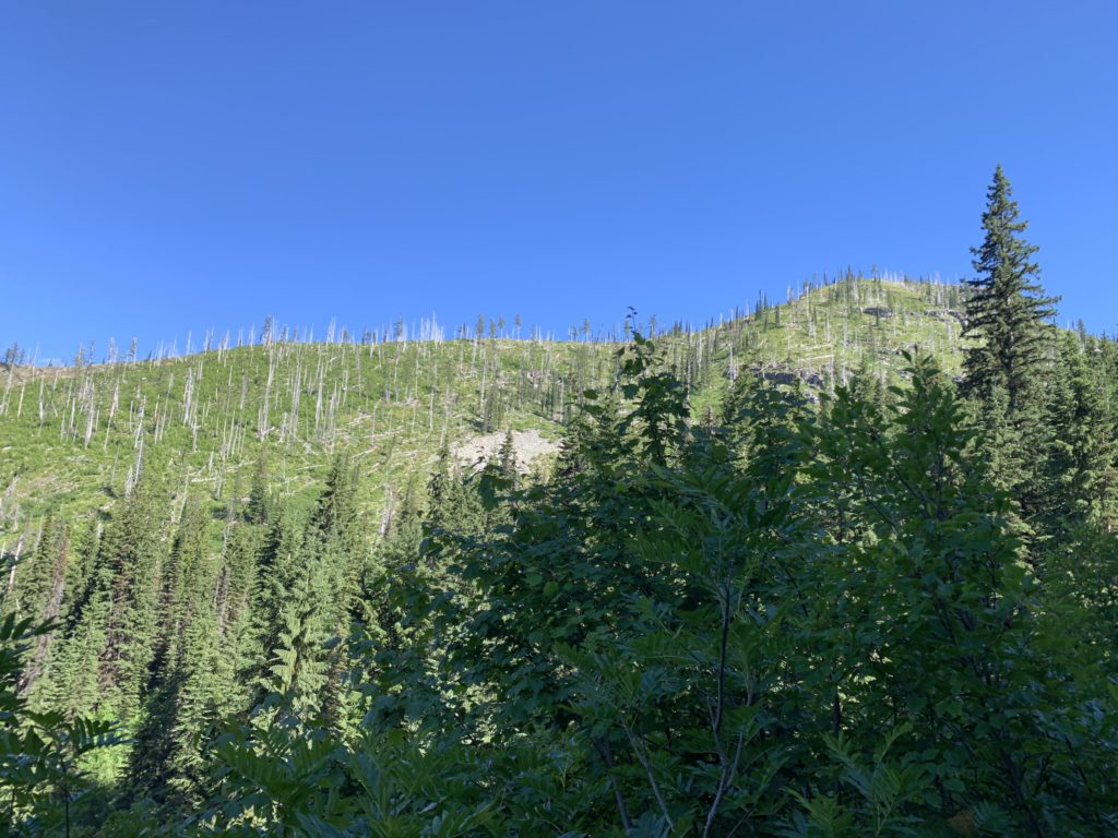
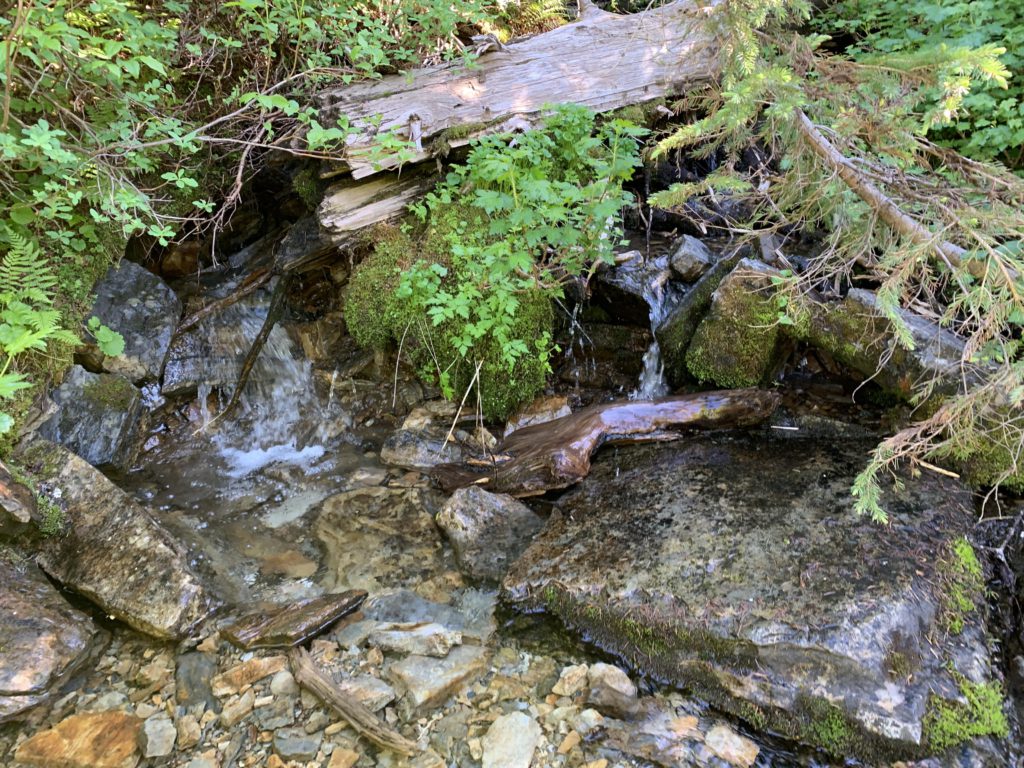
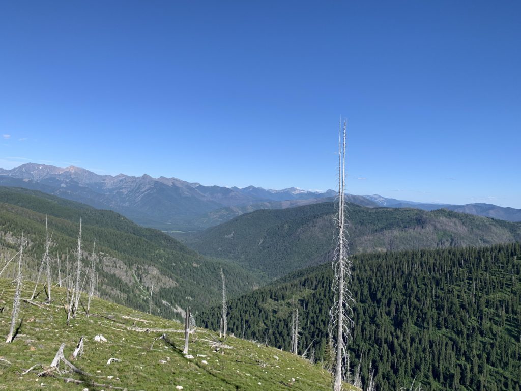
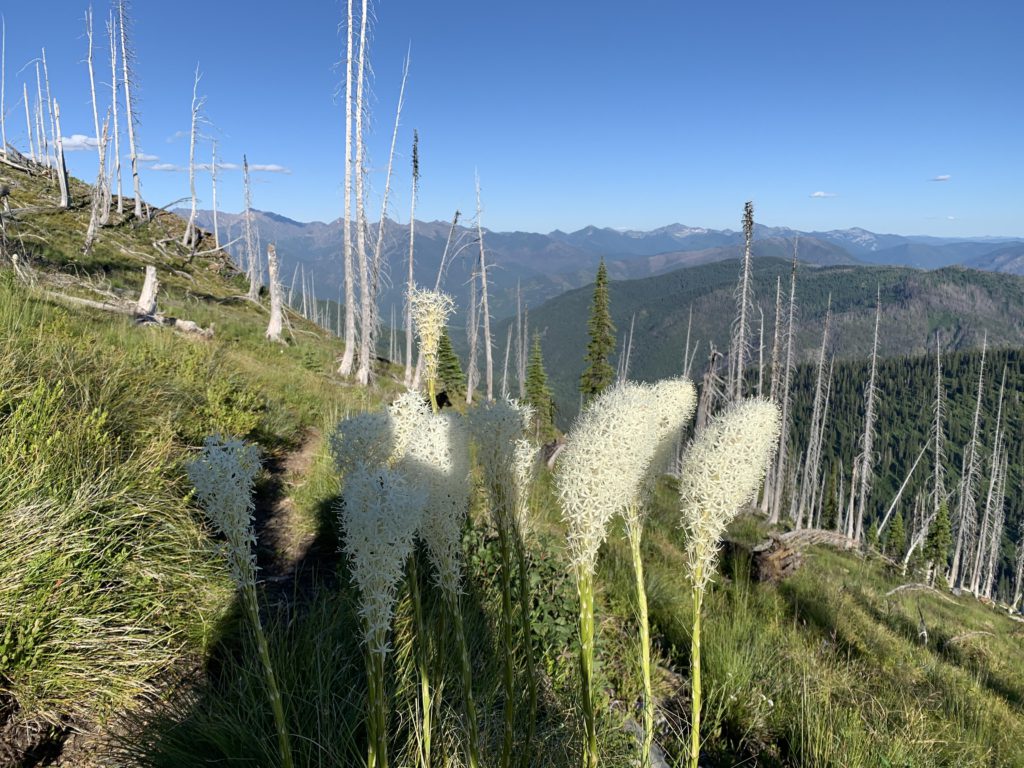
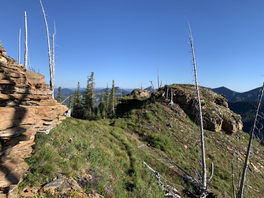
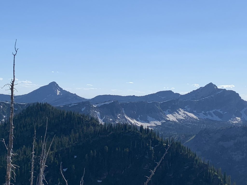
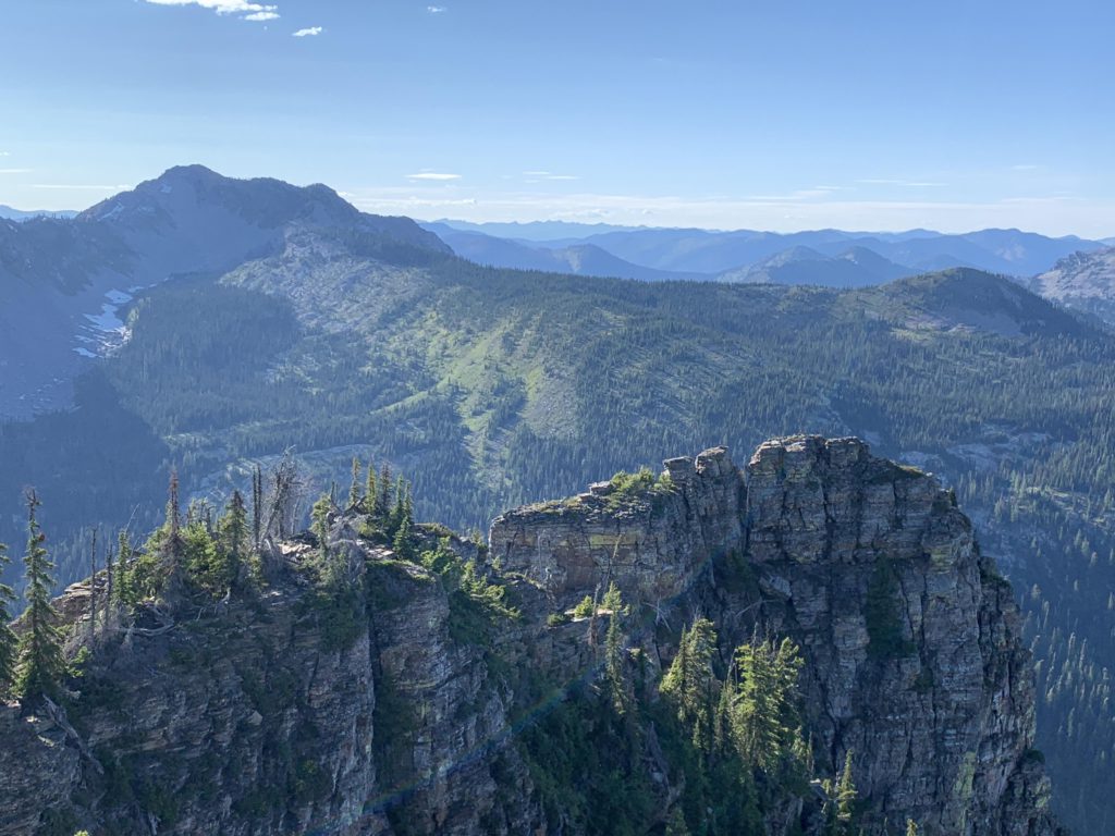
    On approach to Cub Creek the grade lessens somewhat. The crossing is easy and the creek likely dries up later in the year. The ascent resumes on the other side, with the shrubbery retreating more and more, making views of Spar Peak possible. Nearly 2.5 miles into the hike, you’ll pop out onto a ridge covered with burnt snags and a fork. Swing a right (left heads out to Mount Vernon) and the trail coils around Spar Peak across a vast alpine meadow with great views of Sawtooth Mountain. The shrubbery and the booby traps are gone, though the tread is sometimes obscured by the efforts of ground squirrel colonies.

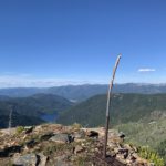
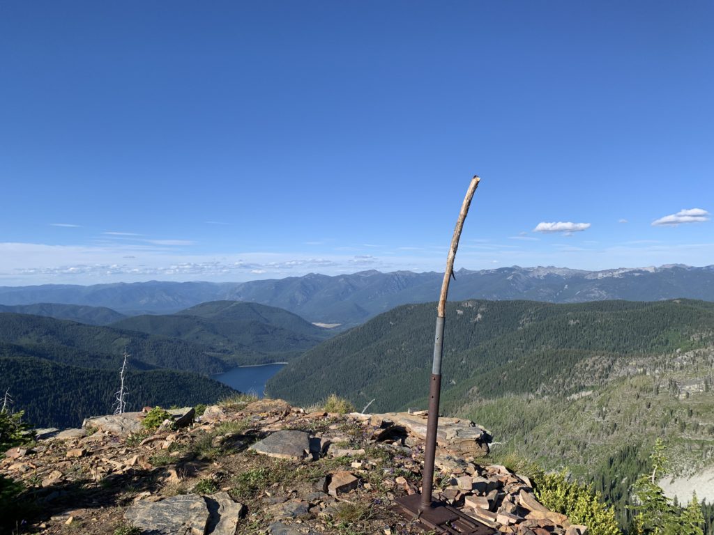
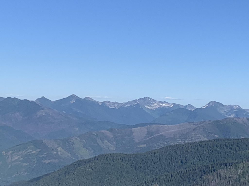
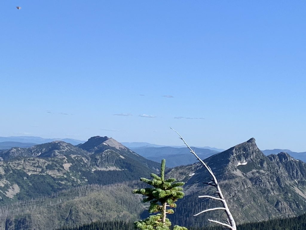
    The trail eventually tackles Spar Peak from the western side. There are numerous faux peaks on the way up, but eventually you get to the top, where the views are indeed incredible and a light breeze keeps the mosquitoes at bay. The lookout tower that once stood there is long gone.

    Alternate Routes

    • I have not tried this, but it appears possible to drive up Troy Mine Road to Mount Vernon and hike the ridge to Spar Peak from there. That trail (at least the western portion we saw) looks really good and you’d do most of the elevation gain in the car, but I don’t know whether it is maintained at all

    Things to Consider

    • The sign at the trailhead states 2 miles to the peak. I don’t think so…

    Not so great

      The trail starts out in a dense fern patch
      Giant cedars near the trailhead
      The middle section of the trail is thick with shrubbery
      The ridge leading to Mount Vernon. We’ll be up there later
      Cub Creek
      A first view of Spar Peak
      View from the ridge. Ross Creek drainage below
      Beargrass on Spar Peak
      Spar Peak, having burnt at some point, is thickly covered with wildflowers
      There are too many fake peaks on the way to Spar Peak!
      Spar Peak and what’s left of the lookout tower that once stood here
      Scotchman Peak (left) and Scotchman #2 (right). Little Spar Lake and Horseshoe Pond remain hidden
      Spar Lake, the Bull River Valley, and the Cabinets beyond
      Looking east into the heart of the Montana Cabinets. Rock Peak, I think
      Looking south at Sawtooth Mountain
      Zoomed in on Spar Lake
      Ragged ridges of Spar Peak and Savage Mountain in the distance
      Spar Lake in dying light on the return trip