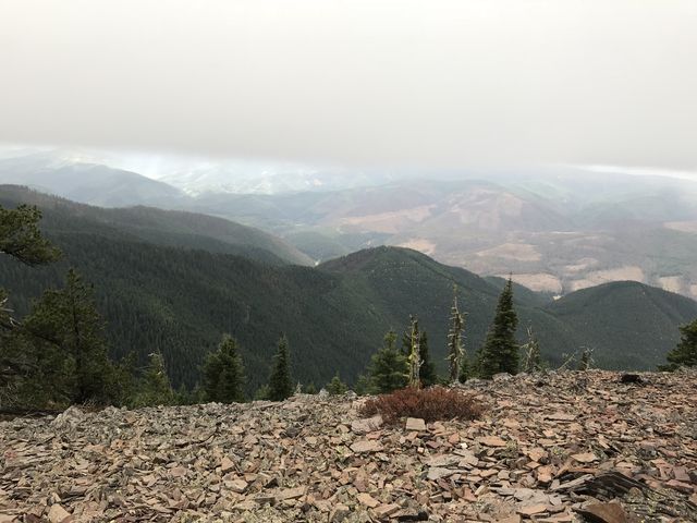
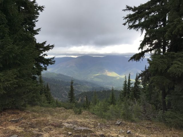
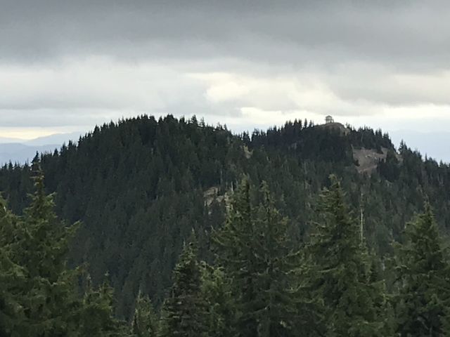
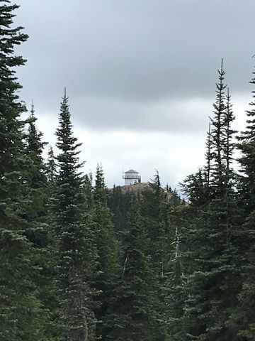
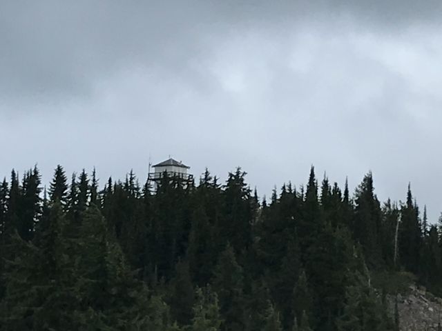
Connecting two former lookout tower sites, the relatively level ten-mile Shoshone Ridge loop dishes out phenomenal views across the Coeur d’Alene River drainage and towards the Idaho-Montana state line. Little Guard Lookout is still standing and on the National Historic Lookout Register. The first iteration was built in 1919, and today’s version is available for rent during the summer months.
| Location | Coeur d’Alene Mountains |
| Rating | 3.6 out of 5 |
| Difficulty | Moderate (off-trail portions more difficult) |
| Distance | 10.0 miles |
| Duration | 3:31 hours moving time (hiking) |
| Elevation Gain | 1,909 feet |
| High Point | 6,130 feet (Pond Peak) |
| Low Point | 5,456 feet (trailhead) |
| Trail Type | Lollipop |
| Trailbed | Packed dirt, loose rocks, talus, forest road |
| Trail# | 81 |
| Water | None, except for a spring within half a mile of Little Guard Lookout (according to the advertisement; we did not verify) |
| Status | Unprotected |
| Administration | Coeur d’Alene National Forest |
| Conditions | Very good, even the off-trail sections weren’t too difficult |
| Permits | None required |
| Camping | At the trailhead and a few spots along the ridge, Pond Peak, ridge beyond Downey Peak. The Little Guard Lookout can be rented during summer months. |
| Maps | USGS Pond Peak |
| Trailhead | From I-90, take Exit #43 (Kingston) and drive 24 miles north on Forest Highway 9 to Prichard junction. From there, continue on Forest Road 208 for about 5 miles to Forest Road 602 (on the right just past Shoshone Base Camp). Drive a bit over 8 miles to the gate. A high-clearance vehicle is recommended.
Google Directions (47.809535, -116.023893) |
| Season | June – October |
| Squirrel Density | Fabulous! |
| Features | Mountaintop, Meadow |
| Distance From |
|
| Resources | |
| Nearby Hikes | |
| Date | September 30, 2017 |
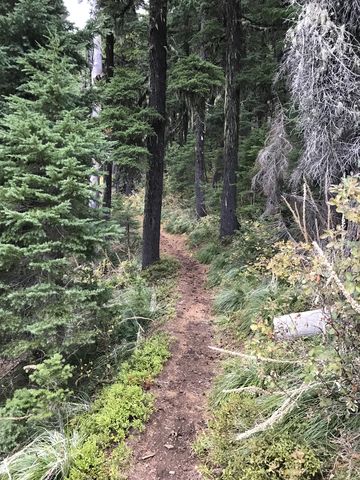
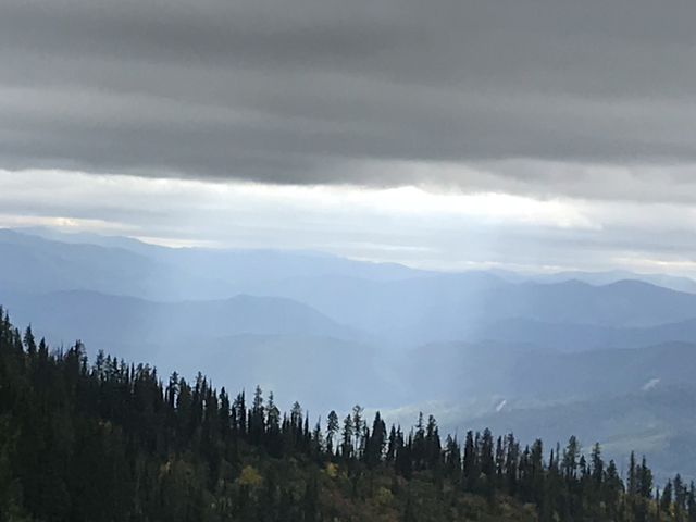
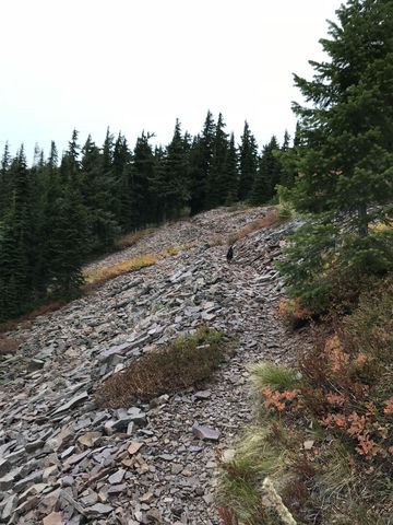
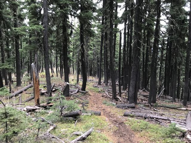
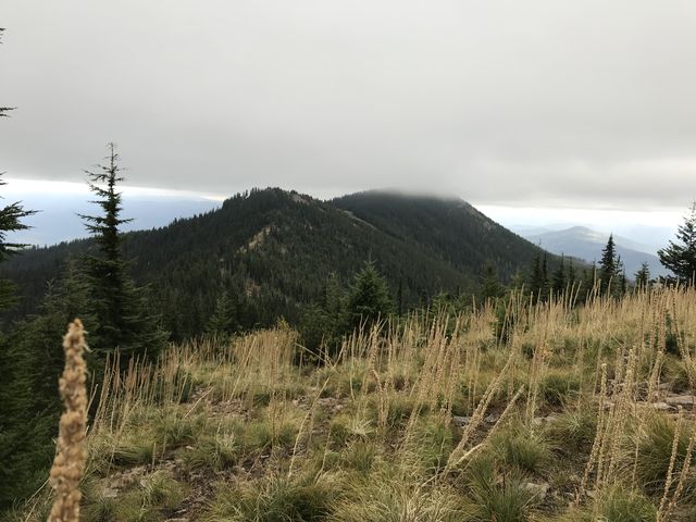
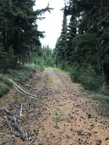
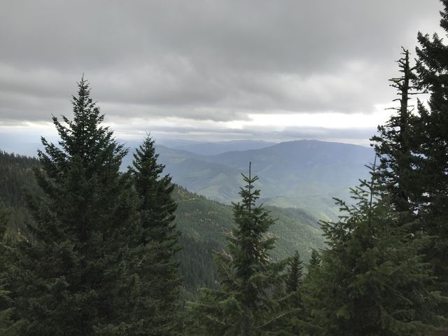
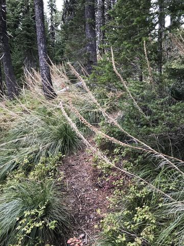
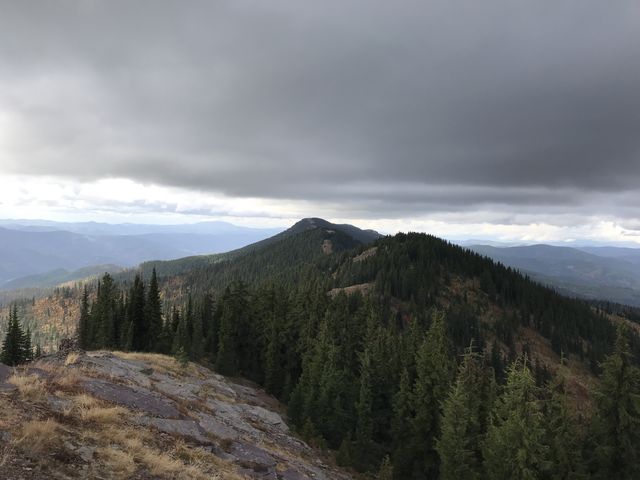
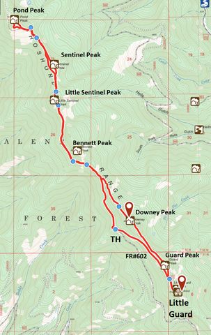
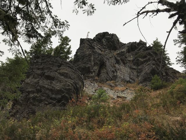 The trail starts out in an elbow of FR #602, just ahead of the gate blocking access to Little Guard Lookout. There is parking for a few cars and a nice enough campsite if you want to spend the night. The single-track starts near the rock slab, dropping lower at first, then gaining as it moves along the side of Shoshone Ridge beneath a shady coniferous canopy. There are occasional filtered views to the west, but these are getting more frequent and better as the trail ascends towards the saddle between Bennett Peak and Downey Peak. The trail bypasses Bennett Peak, moving along its western side with good views of majestic rock outcroppings above. It then gains the ridge just below Little Sentinel and view galore starts in earnest. After 2 miles the trail climbs Little Sentinel, the first in a series of 6000-footers. Take in the views, then head down the other side and bypass Sentinel Peak by also moving along its western side. On the far end, the trail regains the ridge and heads up towards Pond Peak, crossing a few talus slopes along the way. After a short ascent, the trail spills out onto an abandoned forest road. Going downhill leads to the northern trailhead of the Shoshone Ridge hike; instead, follow it uphill for a short distance to Pond Peak.
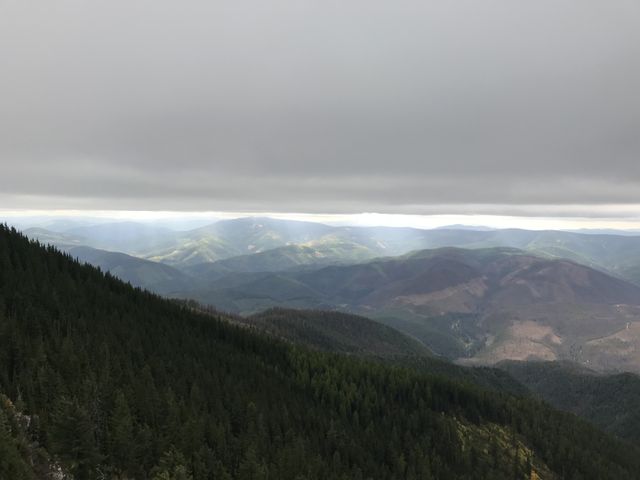
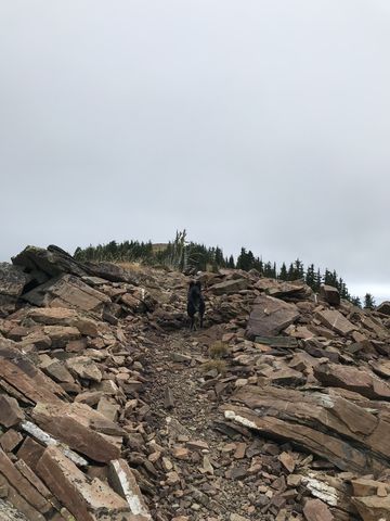
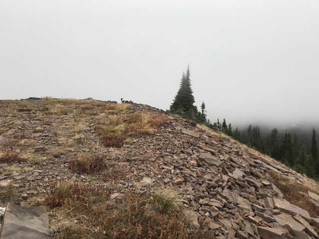
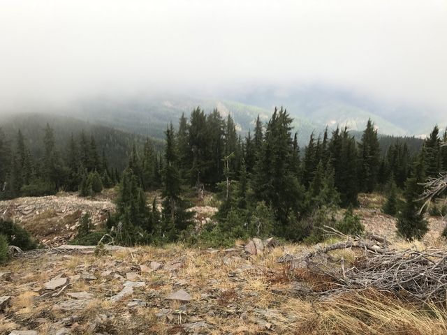
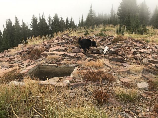
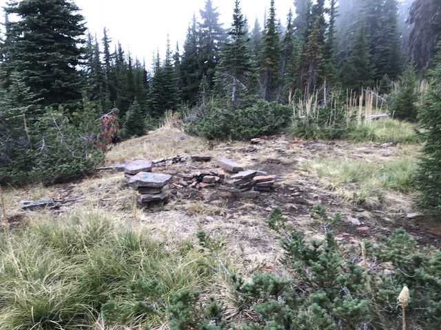
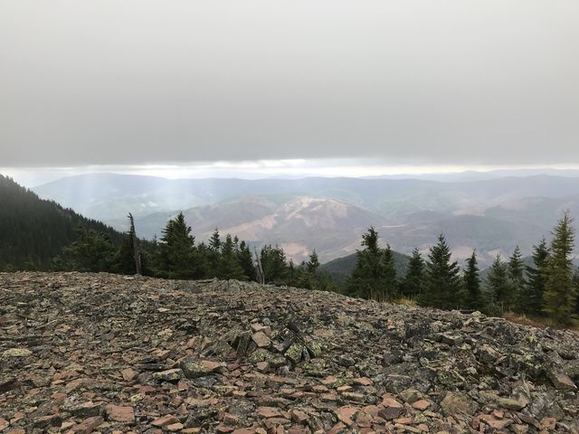
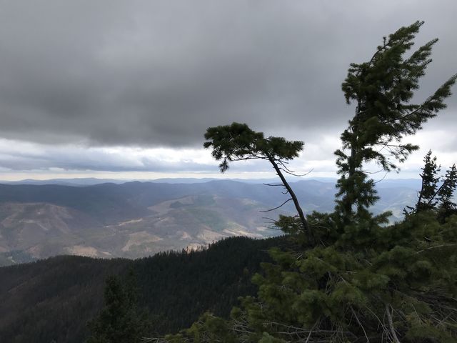
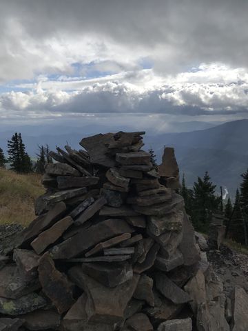
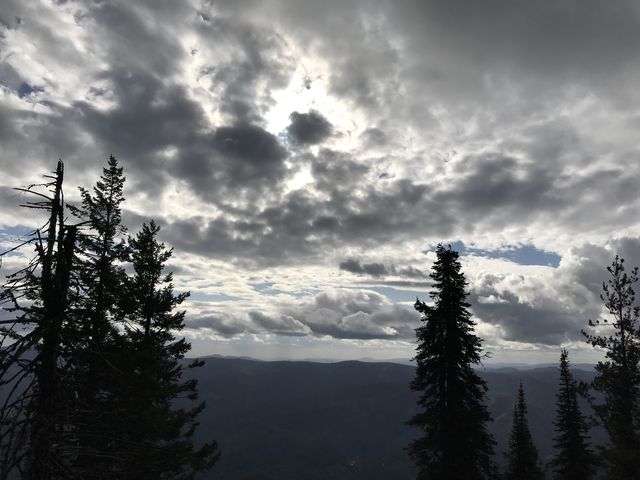
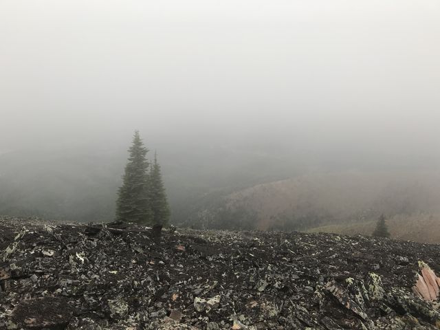 Pond Peak is the site of a former lookout tower, but little of the ruins remain. The views likely are phenomenal, but unfortunately a fierce wind shoved heavy and low storm clouds across the ridge. The peak, incidentally, isn’t a pinnacle in the strictest sense at all; rather, it’s a ridge that extends south for quite a bit. We followed that ridge in hopes of better views and were rewarded at the southern tip. From that point we bushwhacked downhill to get back onto the abandoned forest road and find the single-track for the return route.
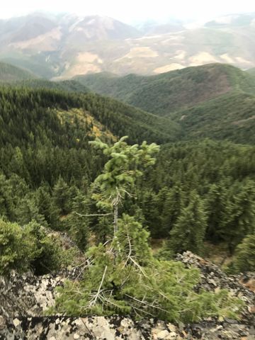
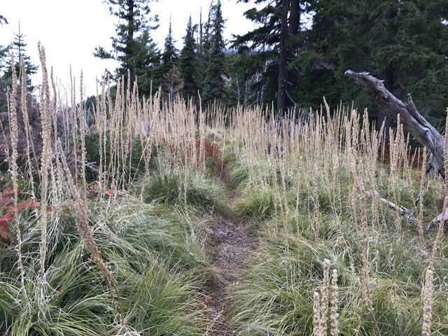
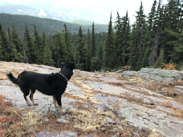
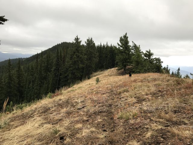
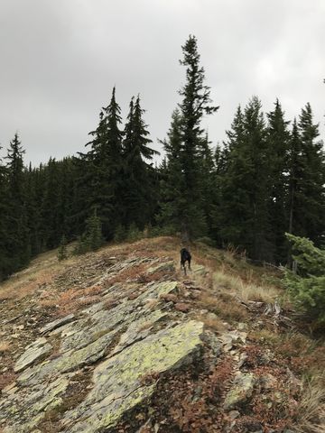
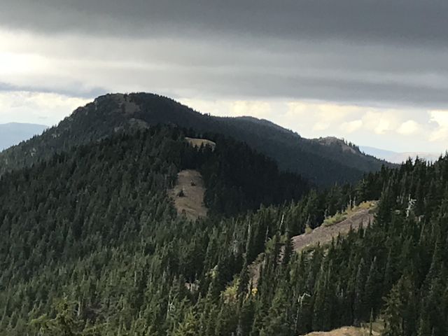
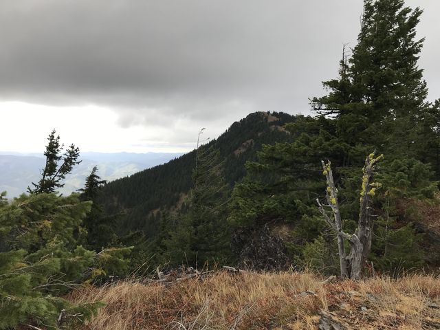 For variety, we ascended Sentinel Peak (another 6000-footer) on the way back. Just stick to the ridge in the saddle below, at the point where the trail leaves the ridge. This isn’t much of a bushwhack at all, the game trail obviously having been traveled frequently. Plus, Sentinel Peak is mostly a pile of talus with excellent views. We descended on the far side across talus and a patch of forest, then hopped back onto trail #81 and followed it back to the saddle beneath Bennett and Downey Peaks. Here we selected a narrower trail that leads up to the ridge, then followed a game trail along the ridge to Downey Peak. This involved a bit of bushwhacking, but nothing terrible. Downey Peak (also a 6000-footer) offers more views and a geocache. Then the “trail” continues along the ridge, which is pretty much bare and easy to follow and provides frequent glimpses of the lookout tower on Little Guard.
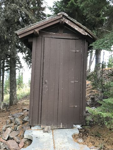
 There is one more hill to climb, Guard Peak, also above 6,000 feet, and then the trail declines and rejoins FR #602 just below Little Guard. Follow the road to the peak, where the views from the lookout’s platform are excellent all around. There’s even a functional privy and another geocache. To complete the loop follow #602 about a mile back to the car.
Enjoy this hike? Let us know in the comments below!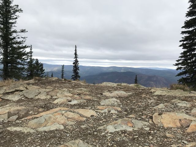









Alternate Routes
- To skip the bushwhacking, hike Pond Peak out-and-back, about 8.5 miles. Alternatively, hike it one way and continue on the abandoned forest road to a shuttle at the northern trailhead.
© 2016 – 2017 NaughtyHiker. All rights reserved. No duplication without permission.
Really nice views on that trip! It reminds me a little of a section of the Cabinets west of here between Vermillion Peak and Seven Point Mountain.
I wish the weather had cooperated a bit better. I’m planning to do a bit of hiking in the cabinets next year. The hiking season is probably over pretty soon—I ran into snow below 5000 ft last weekend