- Selkirk Mountains
- Gypsy Meadows is half a mile south of the #511 trailhead. Gypsy Meadows is a car camping site with pit toilets
- Shedroof Mountain (dry; the privy remains)
- Junction of #512 and #535
- Trailhead of #535 and #506. This includes a pit toilet and tie-up bars for horses
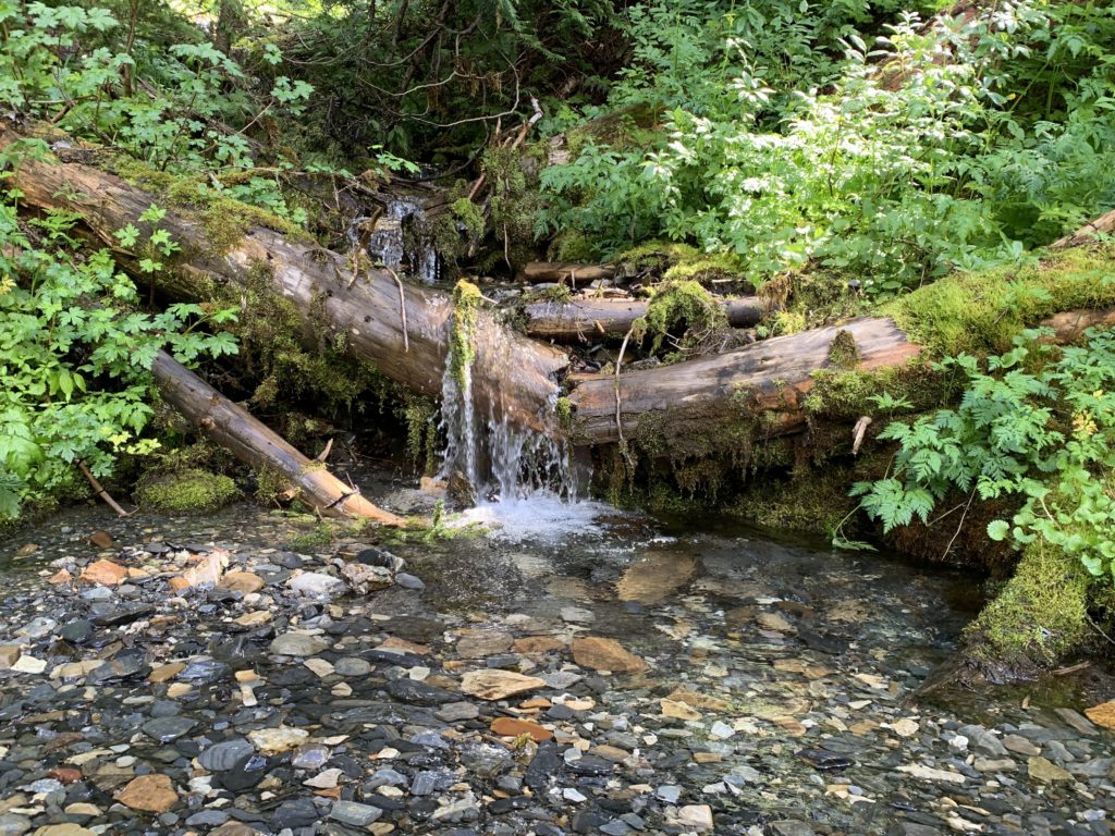
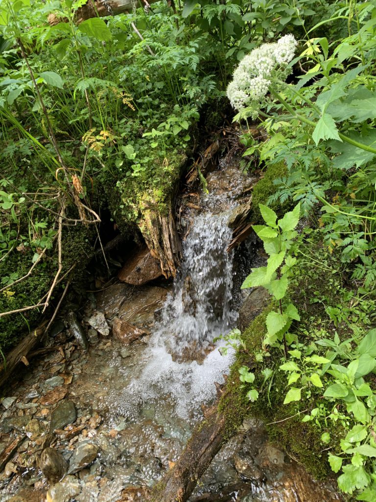
- Just ahead of the Salmo River crossing is a campsite on a side spur a short distance into the woods
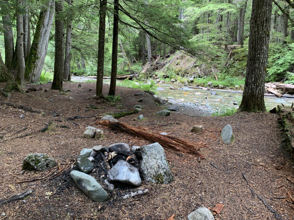
- Several sites at the Salmo River crossing on both sides of the river
- There is nearly a site each time trail 506 approaches the Salmo River. I recall at least three. All are very nice
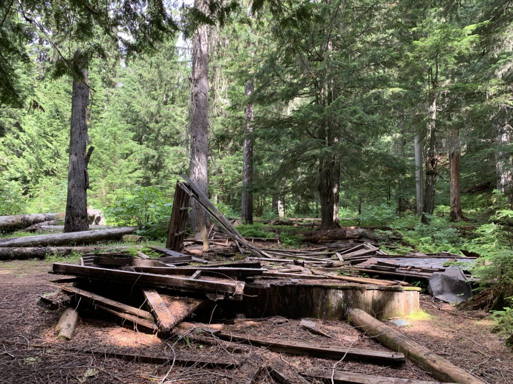
- A nice campsite with a picnic table made from the remains of the cabin is where the old Salmo Cabin once stood
- In the elbow of trail 530, as it turns east/southeast and crosses a branch of the Salmo River
- On the ascent to the divide on trail 530, the last time the trail approaches the Salmo River (merely a brook at this point) at about 5,600 feet
- On the shoulder of Snowy Top, once you reach the divide (dry)
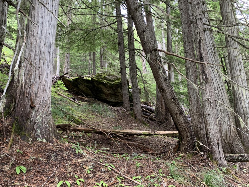
- There are many opportunities along the Shedroof Divide trail, but most are dry
- Little Snowy Top. There is a site about halfway up on a side hill and another just below the peak; both are dry
- A dry site about a half mile south of the junction of 349 and 512
- About a half mile northwest of the junction of 315 and 512. This is probably the first semi-reliable source of water since leaving the Salmo basin
- Generally, pretty good
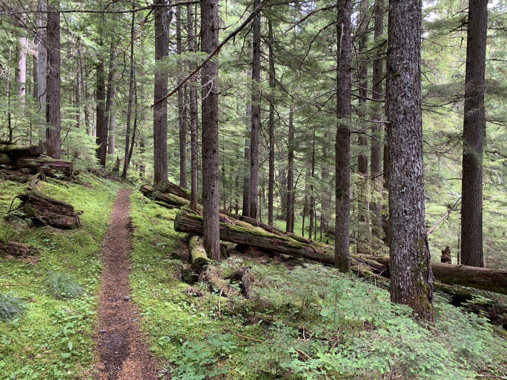
- There was a fair bit of deadfall on trails 512, 530, and 14
- The descent from Shedroof Mountain on the northwestern side is in deplorable condition
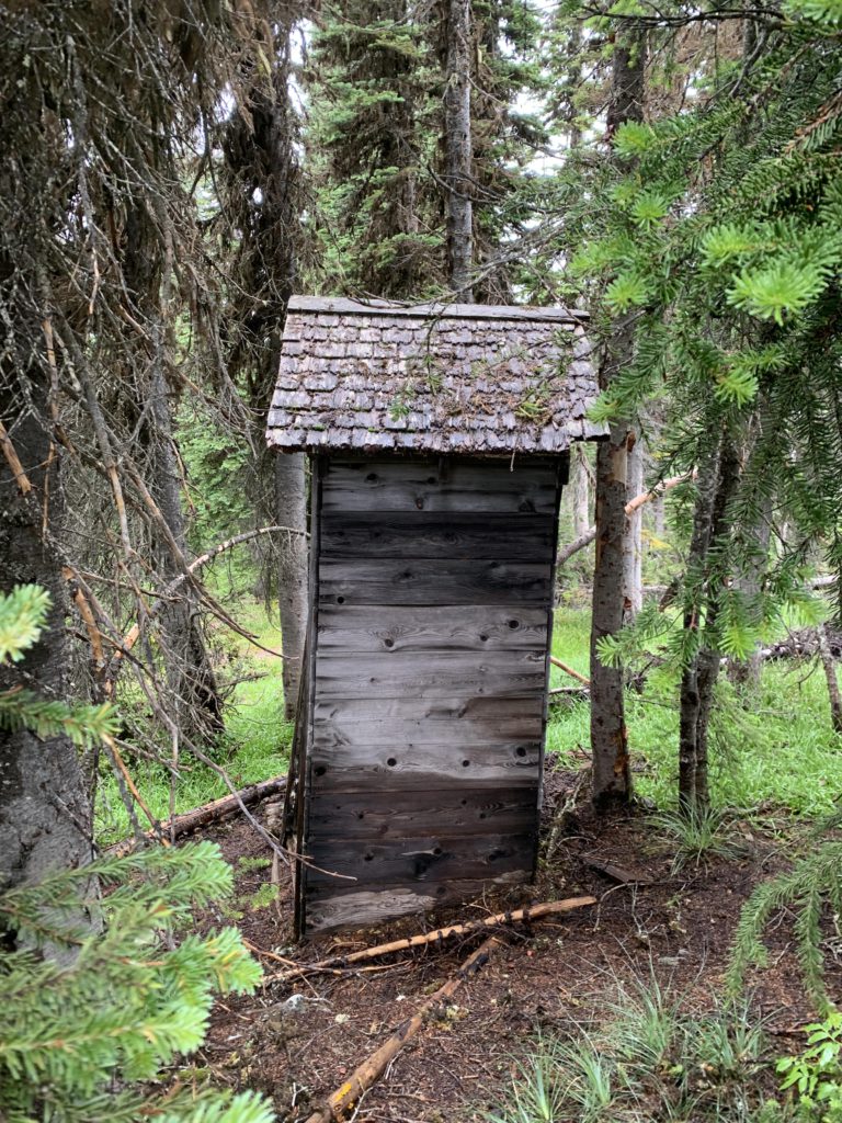
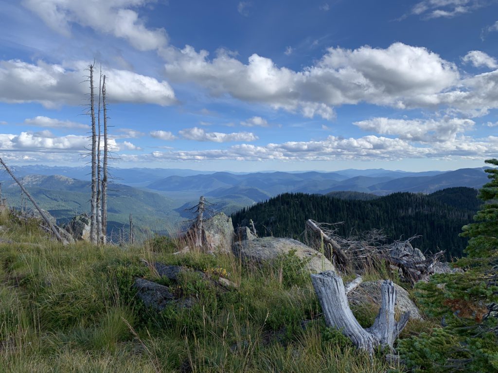
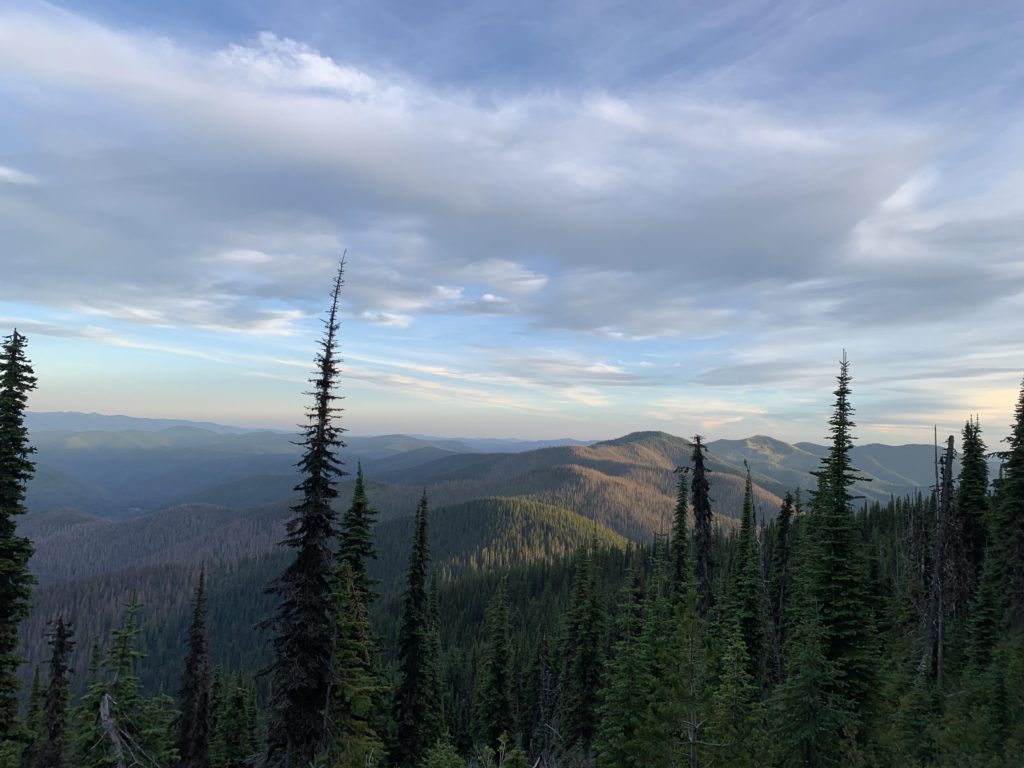
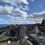
Trail #511 starts out on an abandoned forest road, which it follows for two-thirds of the way, crossing Sullivan Creek (an easy rock hop), then paralleling the creek for a short bit amid stately cedars, and finally entering the Wilderness and climbing abruptly to the Shedroof Divide trail. All in all, it’s just under 2 miles. The junction on the divide is a four-way, with #512 moving north-south (Shedroof Divide), #511 west (Shedroof Cutoff), and #312 east into Idaho (Hughes Fork). Head north on #512 on a trail that switchbacks uphill towards Shedroof Mountain. Just shy of the 3-mile mark is an unsigned fork. Left goes around Shedroof Mountain, right across. We chose wrong (right) and climbed to the old lookout tower site. The tower is long gone and the views were entirely swallowed by morning fog. The only thing to look at was the old privy, and it looks better outside than inside. The trail continues down the north side of Shedroof Mountain, but quickly turns cumbersome, becoming more and more overgrown and littered with deadfall. It eventually disappears in an ocean of shoulder-high rhododendron. We plowed aimlessly through the rhododendron thicket for a while, looking for the trail that goes around Shedroof Mountain. According to the GPS reading we crossed it several times, but saw absolutely no sign of a trail. We backtracked to the fork and took the western trail around Shedroof. As it turned out, we had been within 20 yards of the official trail at some point while fighting the rhododendrons–the trail was rerouted and moves further west (lower) along Shedroof Mountain: if you just keep going downhill in the rhododendrons you won’t miss it and remember that it’s Type 3 Fun!
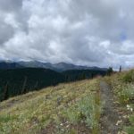
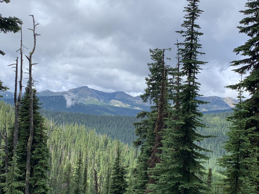
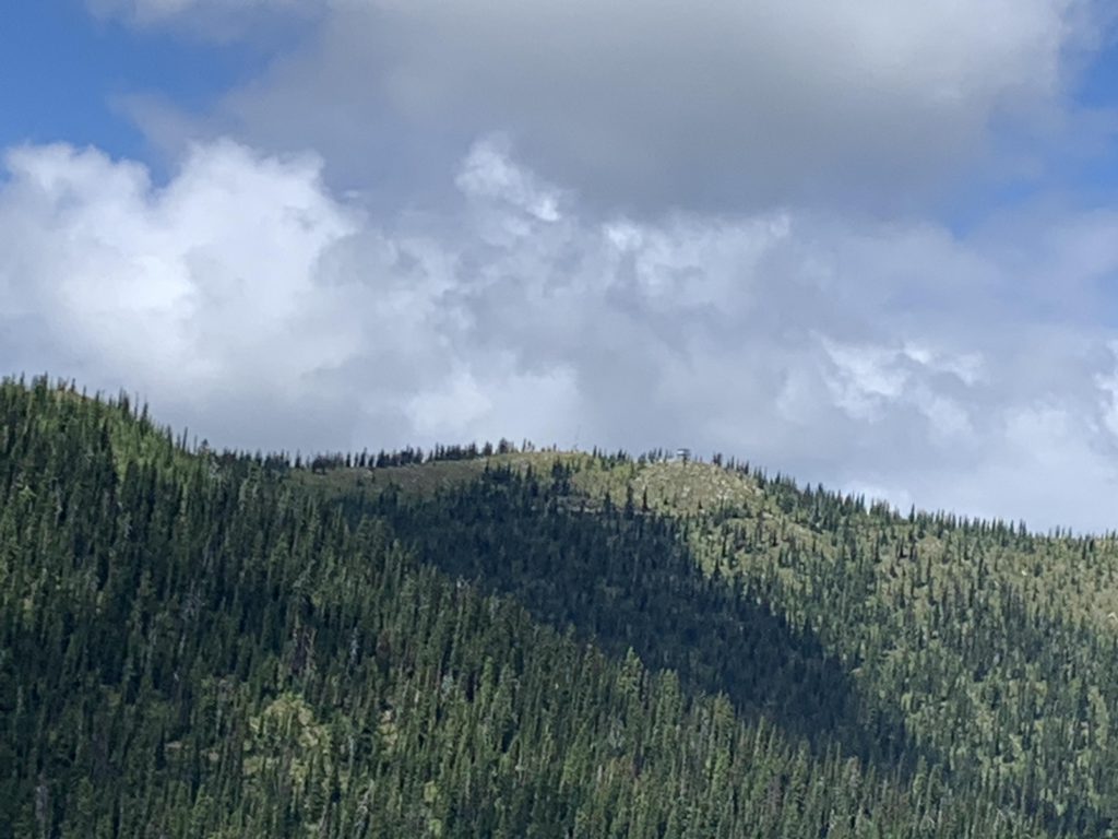
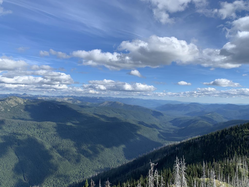
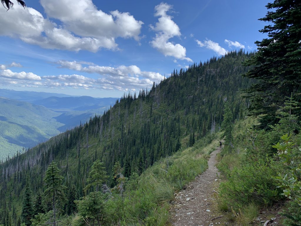
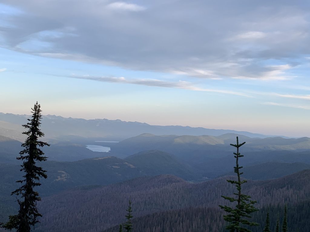
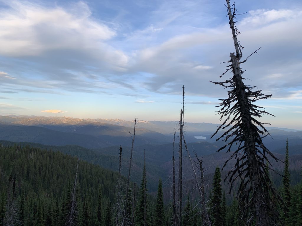
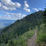
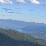
Past Shedroof, the trail switchbacks lower (littered with fallen trees) and catches up with the divide again past the five-mile mark (discounting our excursion in the rhododendrons), where the trail forks again at a nice campsite. Water can be found, at least by midsummer, by going down a short distance on either branch of the fork. Left is trail #535 extending to FR-2220 (an alternative trailhead), while the Shedroof Divide trail continues to the right. You could go either way; we chose a clockwise loop, turning left. It’s about 3 miles to the trailhead on FR-2220, of which the first mile on singletrack and the rest on a decommissioned forest road. Just a short bit into the hike, a small seasonal pond can be found on the left. Then, it’s mostly ridge hiking, with a steady slight decline; rather pleasant. Views along the trail are filtered, but you’ll easily find some good spots in between, with a few expansive meadows and broad openings on the forest road. About 2 miles in, a trail leads off to the left and connects to an overgrown forest road; it is discontinued. On approach to FR-2220 you’ll have good views of the lookout tower on Salmo Mountain.
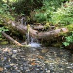
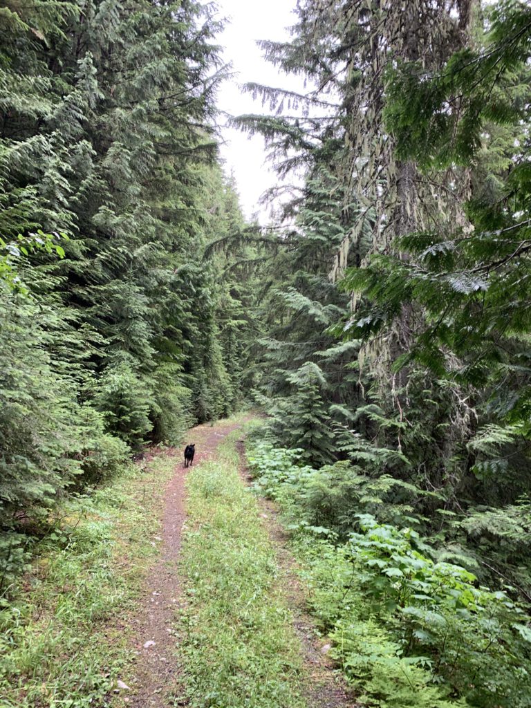
After 8 miles you’re at the alternate FR-2220 trailhead, which features pit toilets. Trail #506 descends to the right and soon crosses a seasonal brook. It crosses and follows that brook all the way to the South Salmo River, about 3 miles. The scenery is rather spectacular, as the subalpine fir so prevalent on the ridge quickly gives way to spruce and then cedar and hemlock. As you drop further and further, the forest gets lusher and lusher with the cedar reaching gigantic size. Several campsites await at the river, as well as one in the woods a bit before reaching the river. The crossing is easy, but you’ll probably want to remove your shoes. We didn’t, because Naughty never does and the Scribe’s shoes already were soaked by the drip coming off the shrubbery from the previous day’s rain.
On the far side an abandoned trail leads to the Canadian border. Skipping that, the trail parallels the Salmo River beneath an exceedingly verdant canopy. It feels like hiking in a rainforest. That stretch of trail is about four miles and it approaches the Salmo River several times. Each time it does so, you’ll find an inviting campsite. At the end of the stretch is the fork to the caved-in Salmo Cabin. It’s a short hop downhill, though littered with fallen trees, and requires another crossing of the Salmo. There is a nice campsite where the cabin used to be, with tables and benches constructed from the cabin’s remains. Perhaps there is still a privy in the woods somewhere; we didn’t find one.
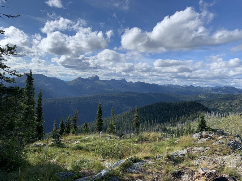
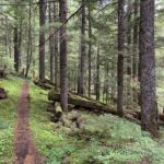
Then it’s back to trail #506, which turns uphill and enters into Idaho (the Wilderness ends at the stateline). The trail is now called #530 (at least on the older maps) and you’ll have to deal with lots of thimbleberries pushing into the trail and contend with more deadfall. The trail climbs steadily as it parallels the river. After about 3 miles it changes direction from northeast to southeast, passes a campsite and crosses a tributary to the Salmo. The ascend continues, nicely shaded, and after another 2 miles the trail approaches the river (a mere brook now) for the last time at a decent campsite. Shortly afterwards, you’ll cross the last reliable tributary, likely the last source of water before nearly re-entering Washington on the Shedroof Divide trail. The trail then climbs to the divide in a few switchbacks, with a dry campsite on a shoulder of Snowy Mountain at 6200 feet. Ascending that peak appears very doable (there is no official trail), but it is straight up.
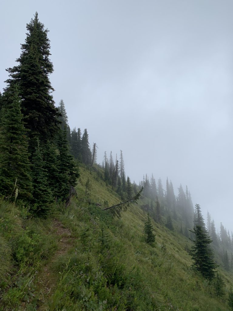
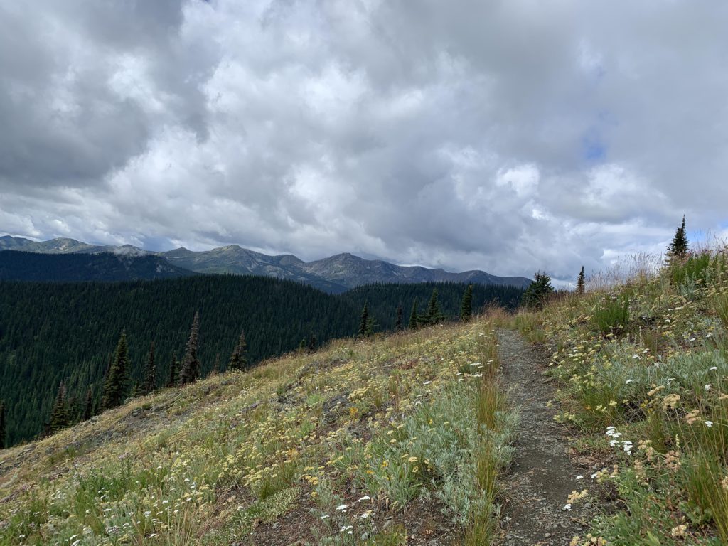
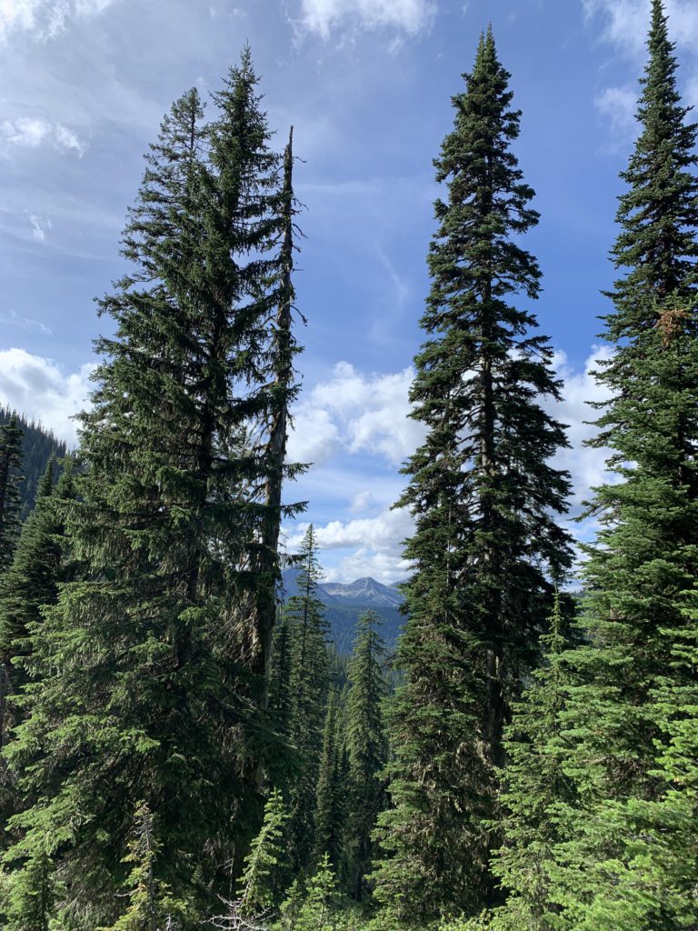
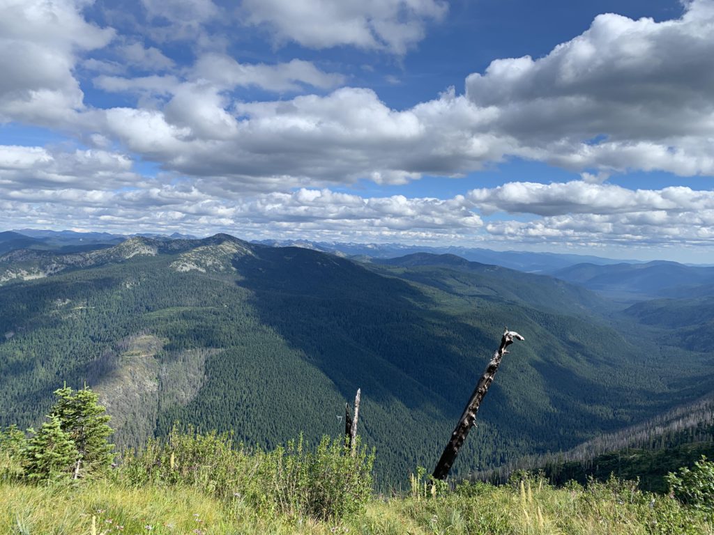
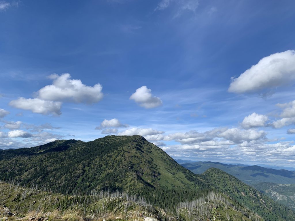
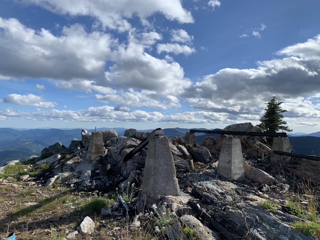
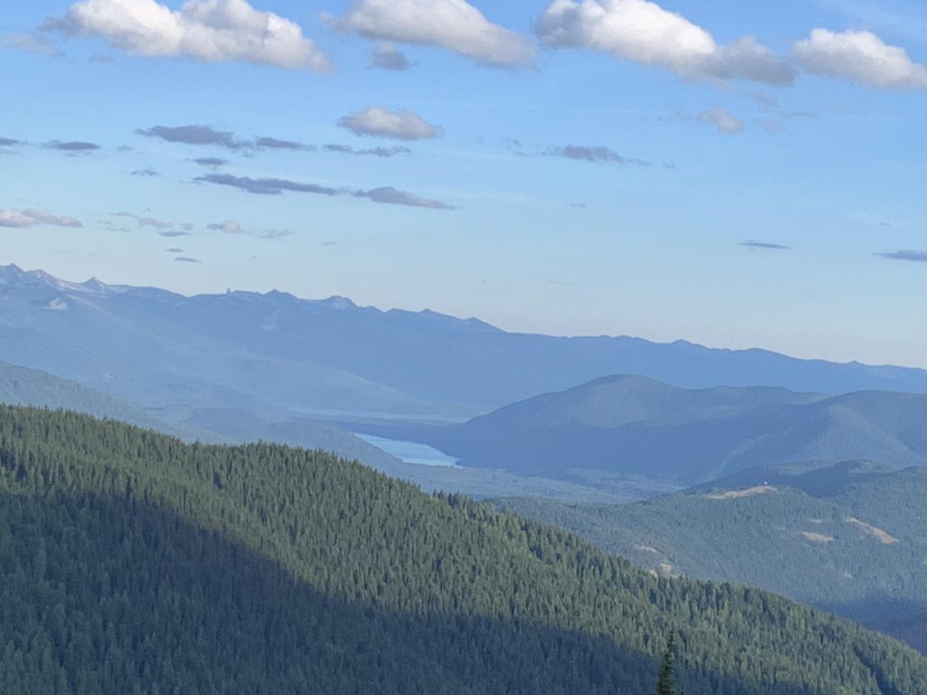
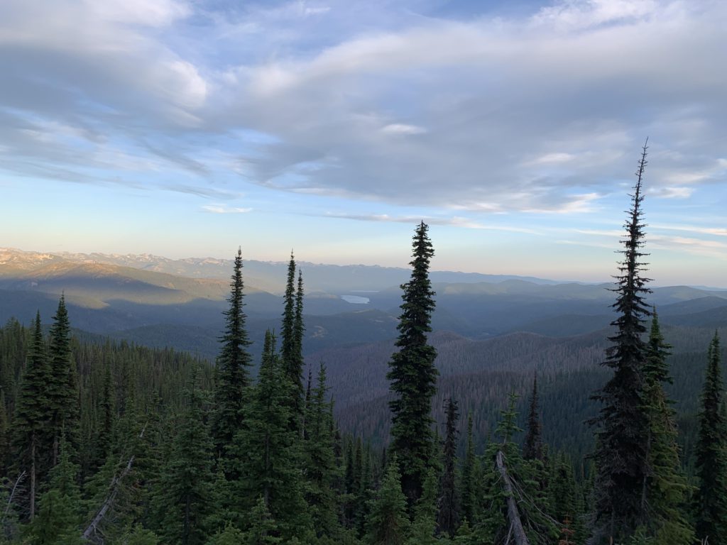
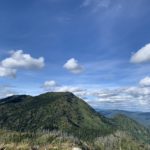
Now we’re back on the Shedroof Divide trail, though the trail still climbs. The trail sticks to the divide pretty closely, providing phenomenal views all around, and the Upper Priest River drainage in particular. About 1.5 miles into the ridge hike is the unsigned fork with trail #14, Little Snowy Top. This trail switchbacks uphill for about a mile and there is a fair bit of deadfall, but the stunning views from the top are so worth every step. The lookout that had been painstakingly restored unfortunately burned down in 2016. Camping opportunities are halfway up, on a side hill, as well as just below the peak.
Continuing on the Shedroof Divide, the trail passes the junction with #349, which switchbacks steeply downhill to the Priest River (more Type 3 Fun). Continuing, #512 avoids the peaks and favors the eastern flank of Little Snowy Top. The going is easy as the trail drops steadily towards the fork with #315 (this also connects to the Priest River, but in a more humane manner). Up ahead, you can spot Shedroof Mountain’s distinct profile. After that junction, the trail curls around the mountain, turning northwestwards and dropping to a pretty campsite with a welcome brook next to it.
There are quite a few trickles of water over the next couple of miles, with the trail continuing northwest down to a saddle and a small pond, then flipping southwest again and the ascent to the ridge below Shedroof commences. Again favoring the eastern flank, the trail crosses fewer and fewer trickles and catches up with with trail #535 after a 2-3 miles. Views remain good, either of the Priest River drainage or Shedroof Mountain. From the junction, the return to the car is the same as the way in.
Alternate Routes
- To shorten the loop to about 19 miles and cut the elevation gain in half, start out at the 506/535 trailhead (follow FR-2220 for another 5 miles uphill)
- To lengthen the loop extend the handle of the lollipop to the entirety of the Shedroof Divide trail by starting at Pass Creek pass or the Thunder Creek trailhead (#526, shortly ahead of the #511 trailhead)
- The Shedroof trailsystem is also accessible from the Priest Lake side, for example via trail 312, 315, or 349 (349 is steep and no longer maintained)
- To turn this into a backpacking trip of about 10 miles a day, I’d suggest staying the first night at the Salmo River (about 12 miles), then somewhere on the Shedroof Divide if you dare camping at a dry site, or at the brook following the junction of 512/315 (about 11 miles)
Things to Consider
- Trail #511 and parts of #512 are part of the Pacific Northwest Trail
Not so great