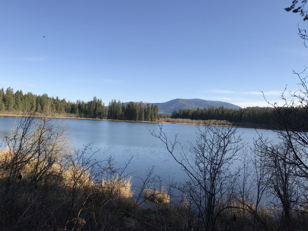
- Selkirk Mountains
- Campsites, electricity, showers, flush toilets, dump station; the whole works
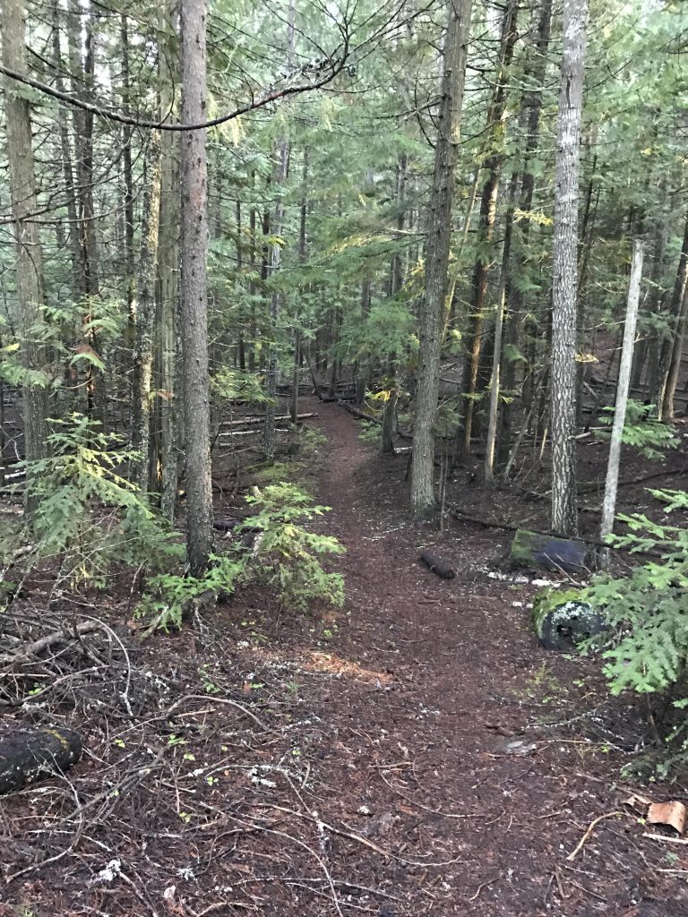
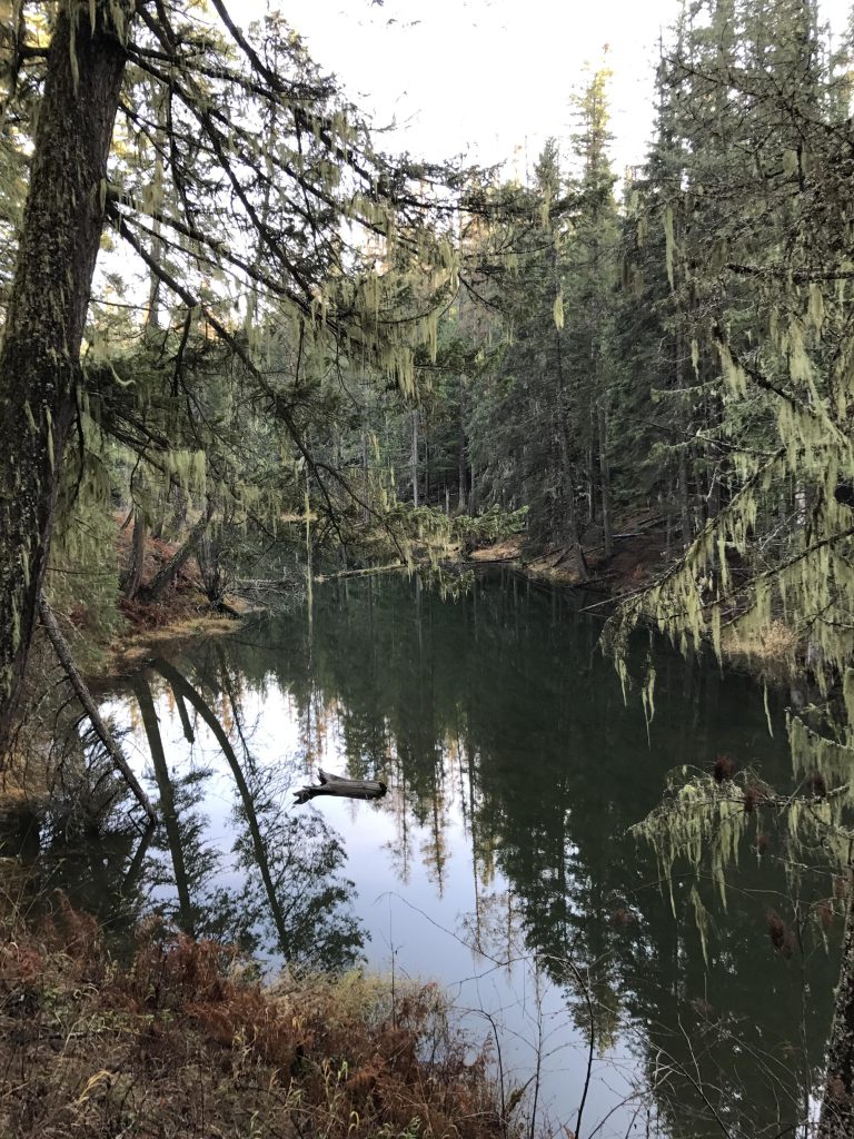
- The entire trail system is well-maintained.
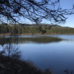
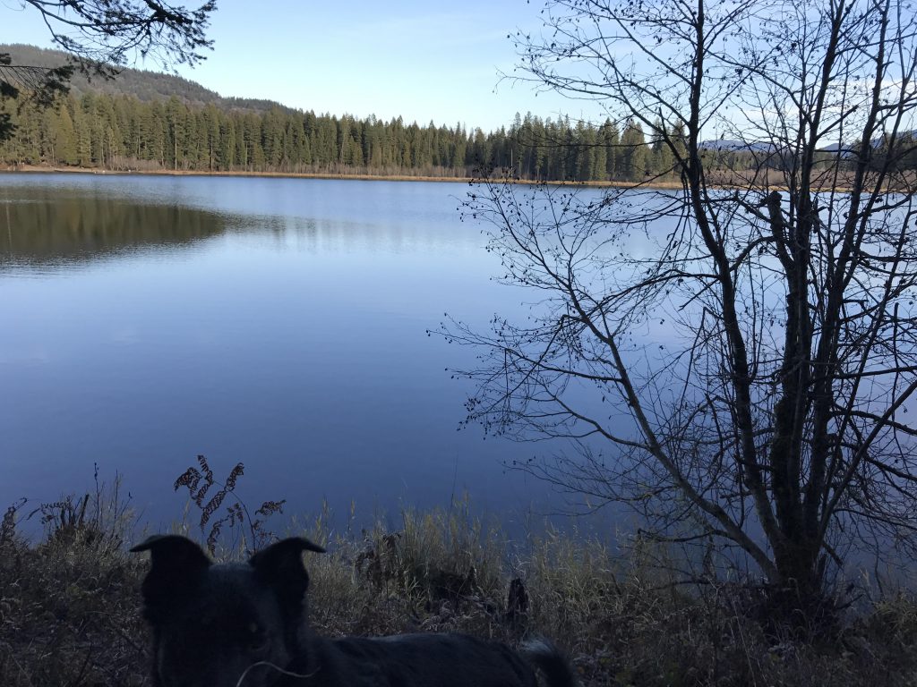
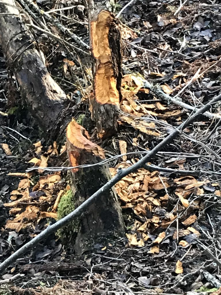
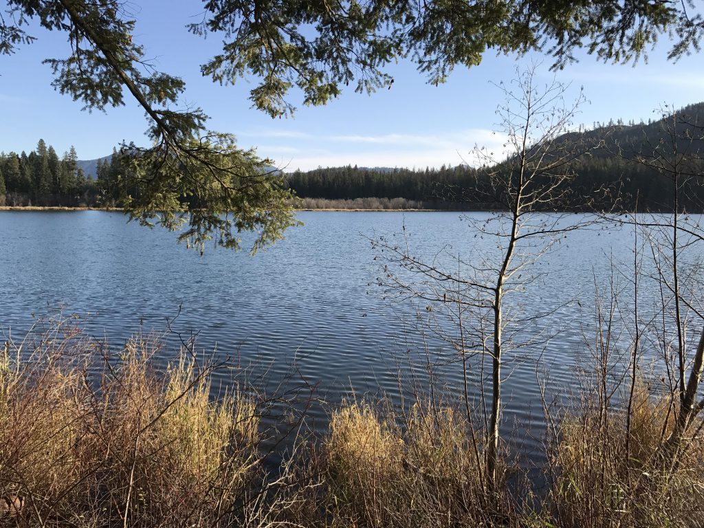
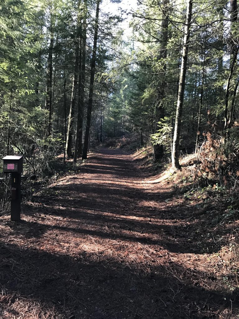
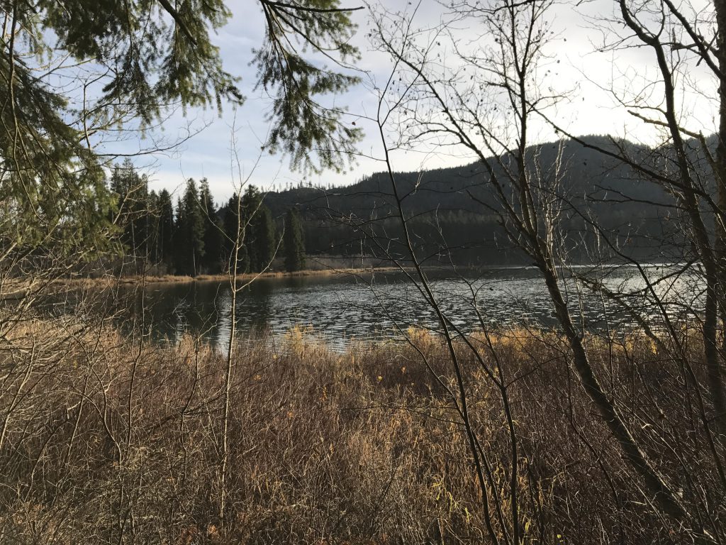
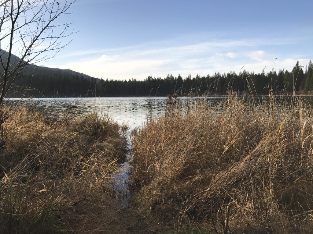
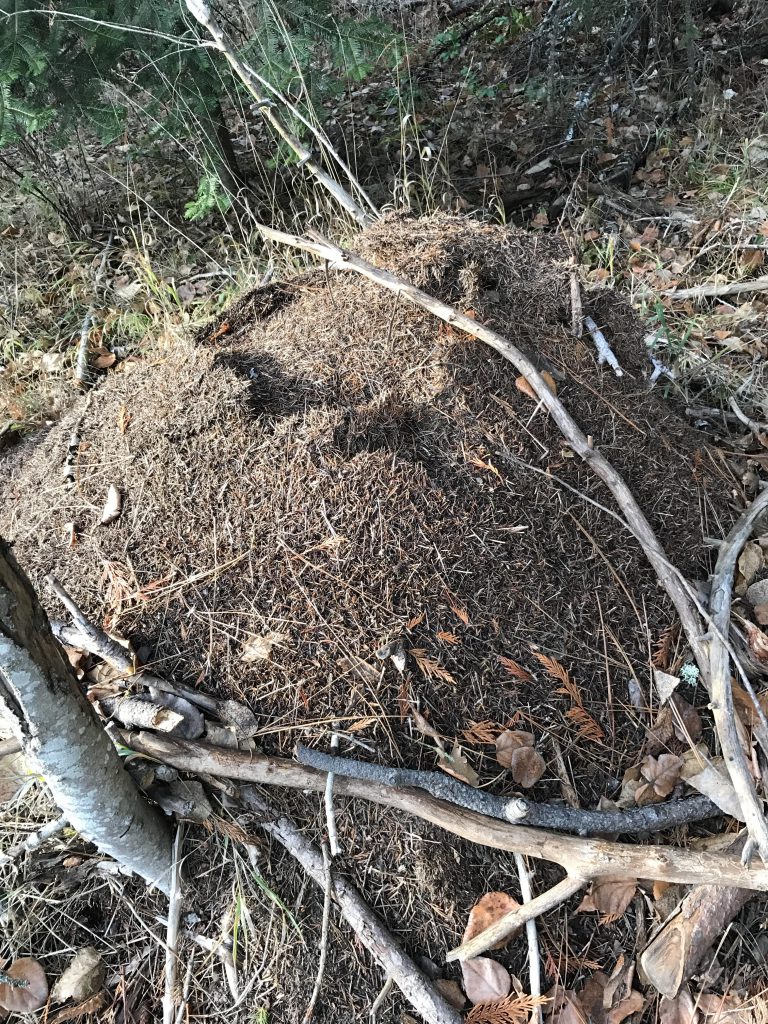
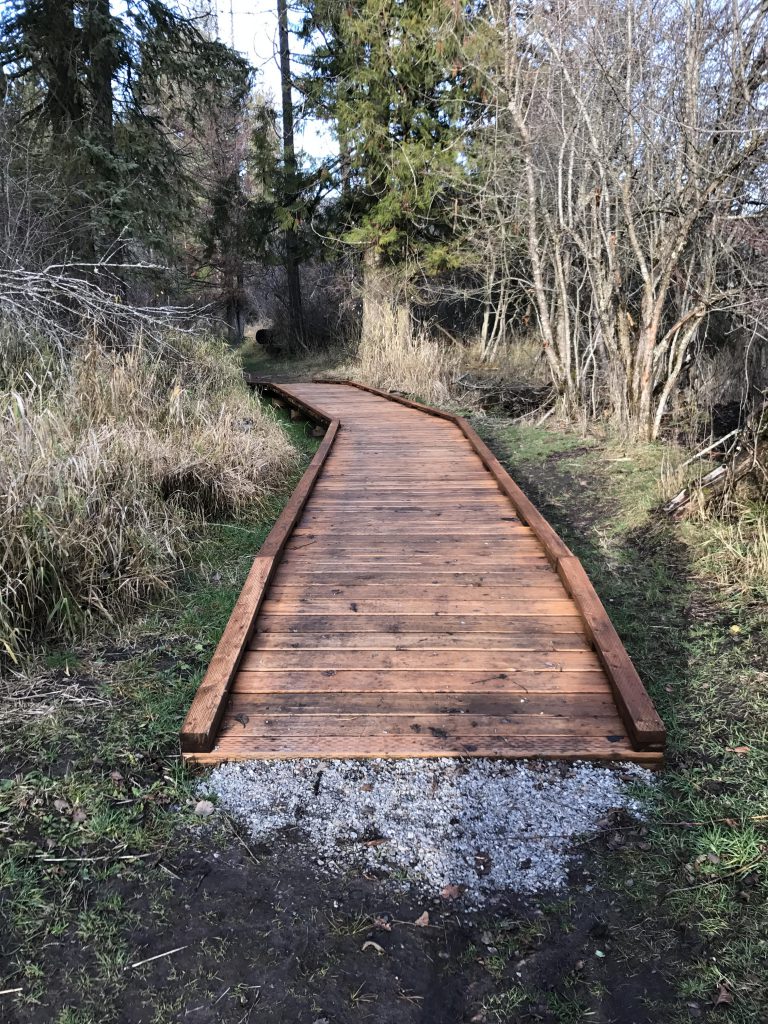
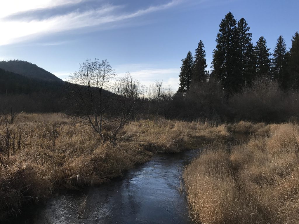
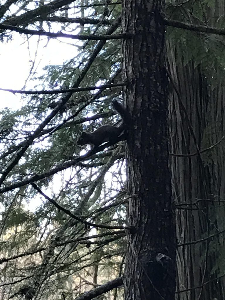
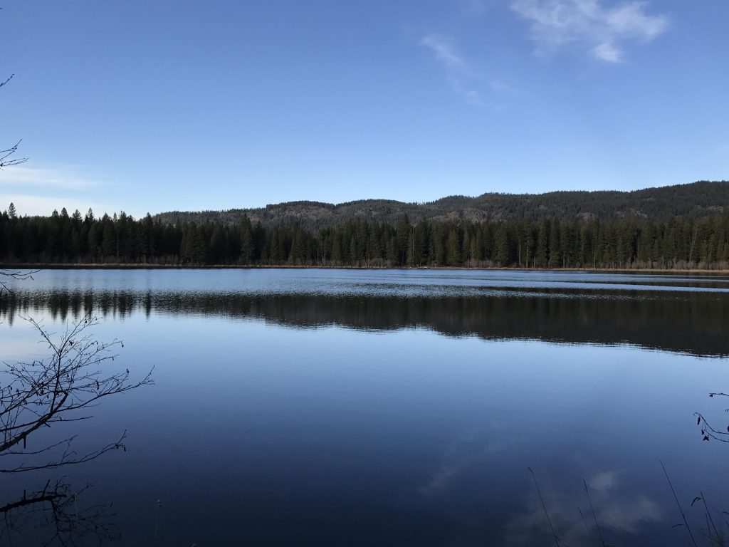
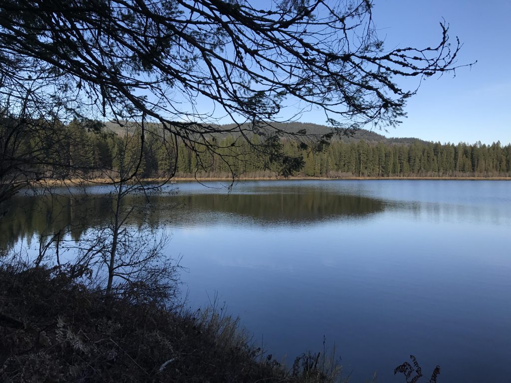
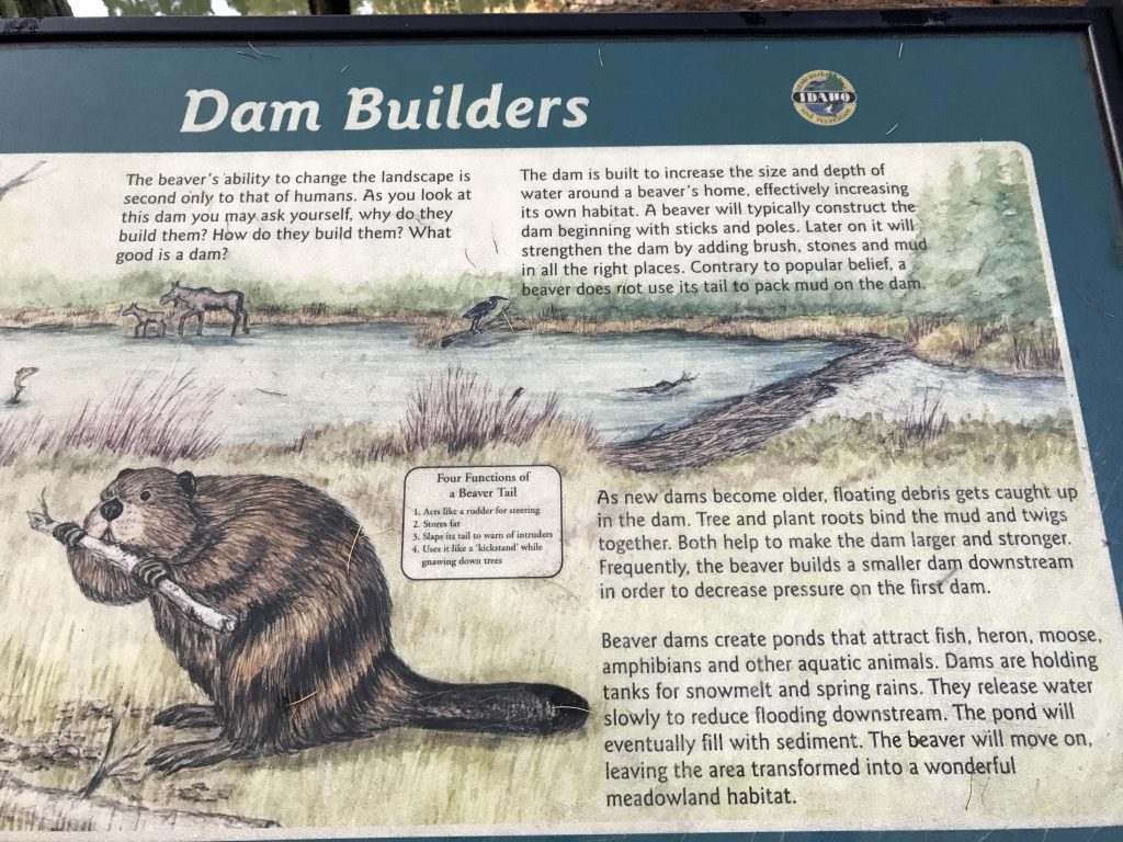
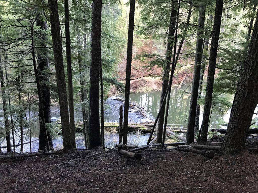
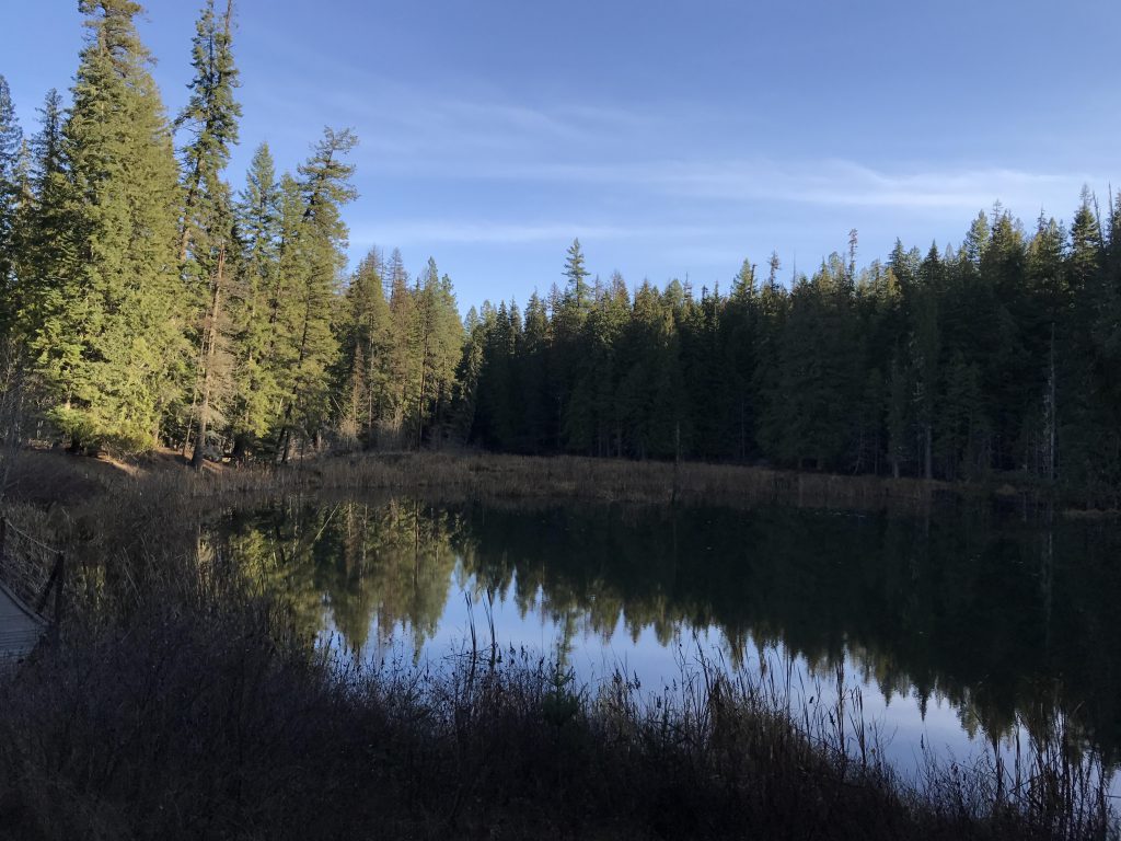
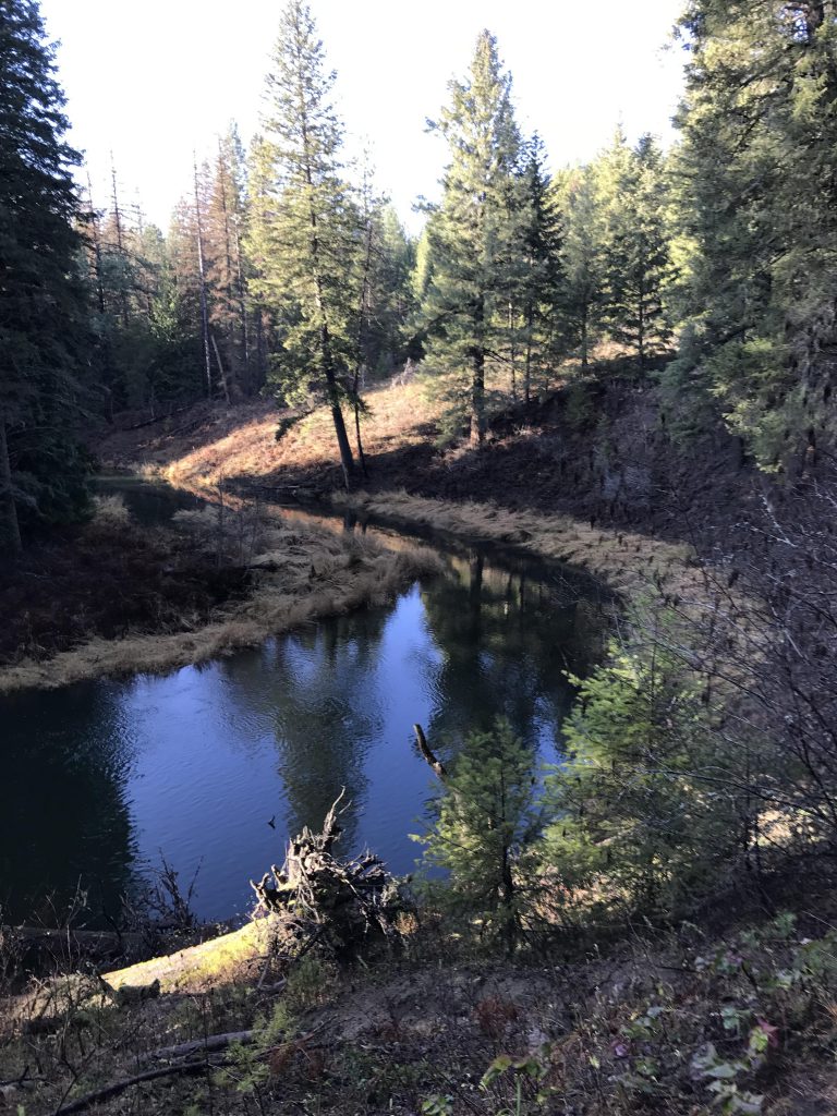
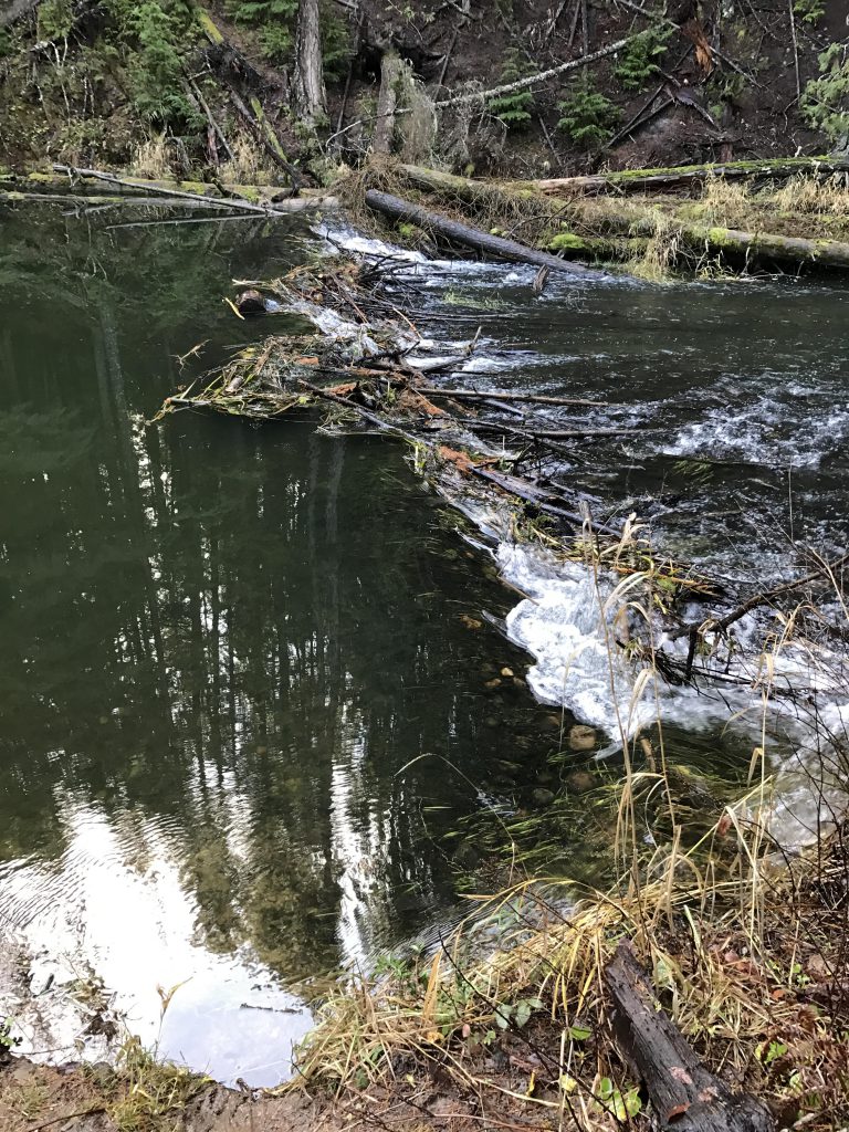
Of the three trails, the Stewardship Trail is the longest, but also the most boring, consisting primarily of forest roads. To start out westwards, you have your choice of Stewardship Trail (the wide forest road a bit up from the beach) or the Trapper trail (down near the beach). The Trapper Trail is a single-track that skirts the lake’s shore very closely, proving up-close views of beaver activity as well as broad views of the lake. The trail continues along the northwester edge of the lake, then follows its outlet through a marshy area (a good place to watch turtles sunning themselves on logs). Cocolalla creek flows to the left as the trail meanders along its bank, enabling a good look at the series of dams along this stretch. As the trail approaches a bridge, take a right and head uphill to rejoin the Stewardship Trail. Turn left and follow the wide path through the woods, with views of the creek below. Eventually the trail emerges onto an open area with a second, smaller pond and a waterfall. A bridge crosses the falls, then the trail leads steeply uphill, the steepest part of this all-but-flat hike. Just before reaching the forest road above, turn left and take the single-track through the woods, bearing right whenever the trail’s direction seems murky. Eventually the trail meets up with the forest road again and follows it for a good bit. Then, a sign, labeled “Trail”, points downhill. Take this to get back to the Trapper Trail. Turn right and follow the creek once again, this time high above, with good views of the dams. Staying higher up on the hill, the trail moves along the creek and the southern end of the lake, but steadily loses altitude. By the time it turns north, the trail is level with the lake. Now the path moves through a small cedar grove, then low shrubbery, and finally reeds as it approaches the lake’s inlet. A bridge spans the inlet for easy crossing, and a series of boardwalks makes traversing the muddier sections child’s play. The trail then turns westwards and leads to the optional Swamp Tromp, a quarter-mile loop that brings you to the edge of the lake and some fantastic views. Once back on Trapper Trail, turn left and continue along the lake’s shore back to the beach and the parking lot.
Alternate Routes
Things to Consider
Not so great
😄