- Cabinet Mountains
- None
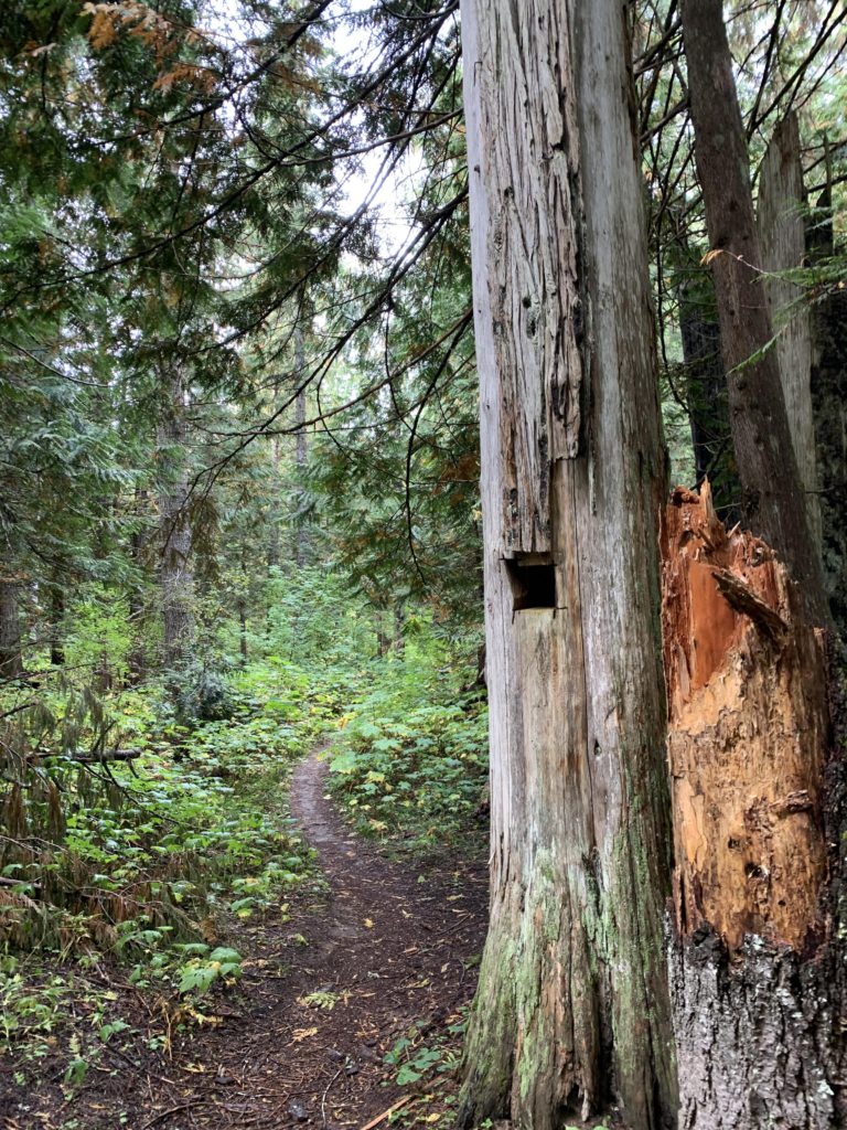
- Trail 142 was in good condition, but trail 321 had a fair bit of deadfall and the tread is sometimes narrow. A log bridge eliminates fordings
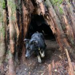
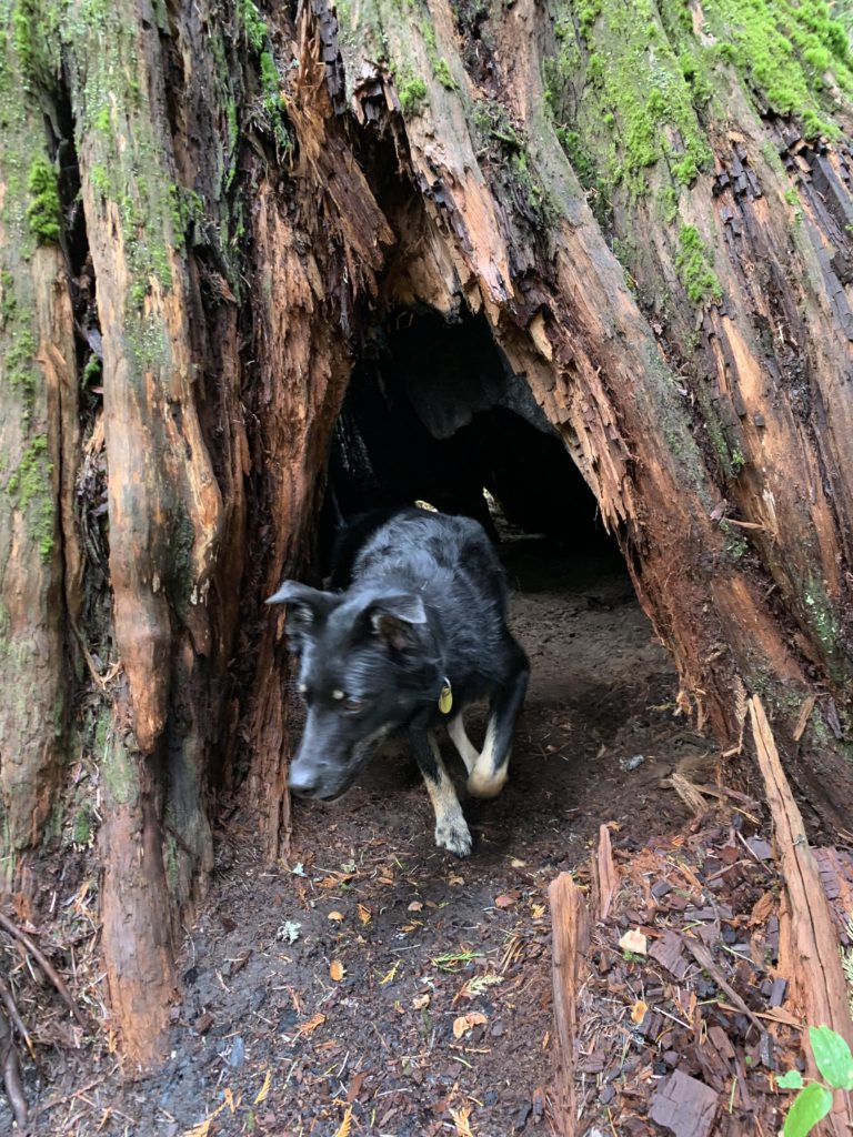
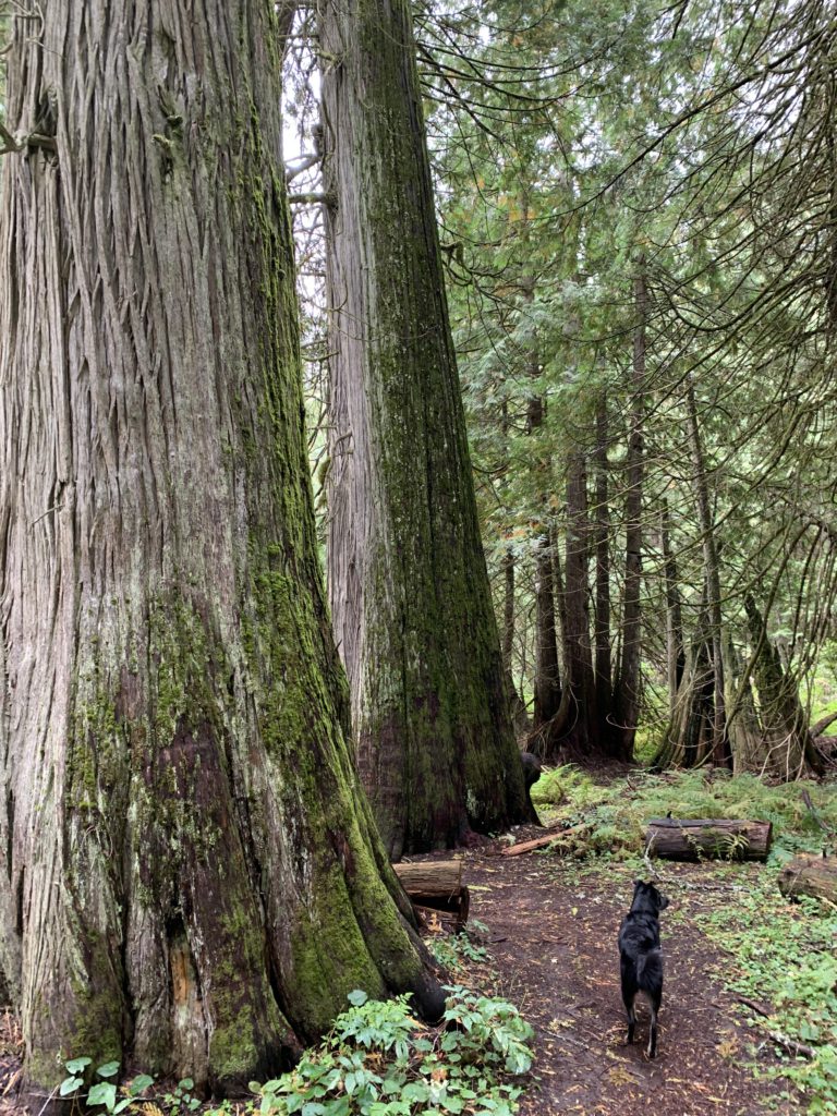
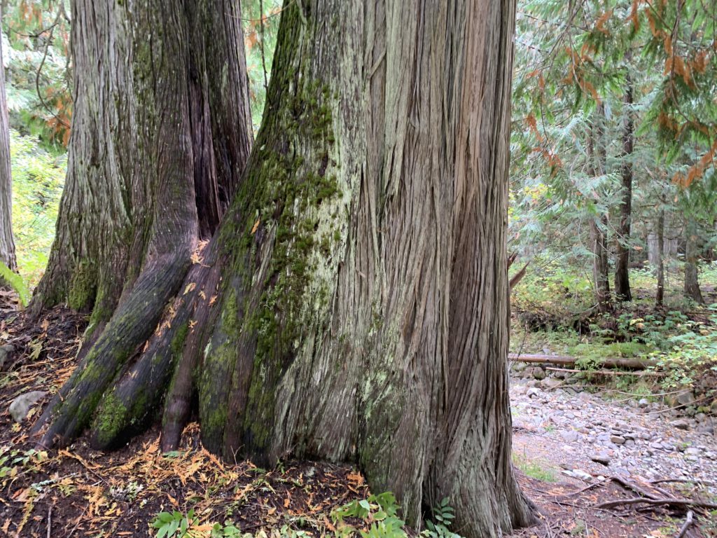
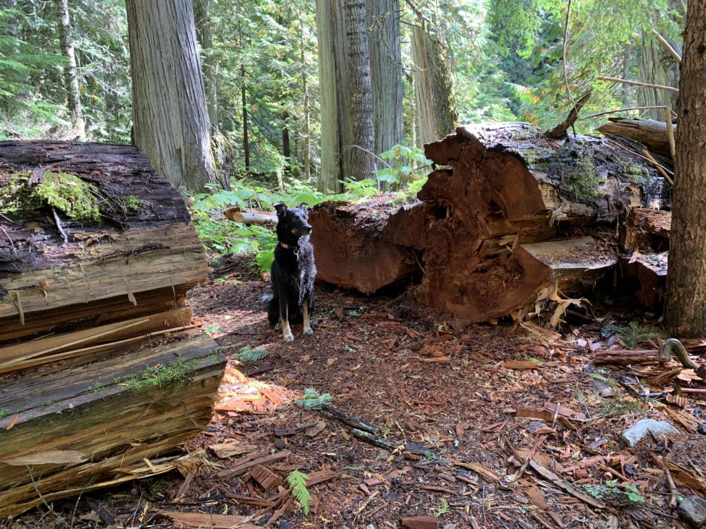
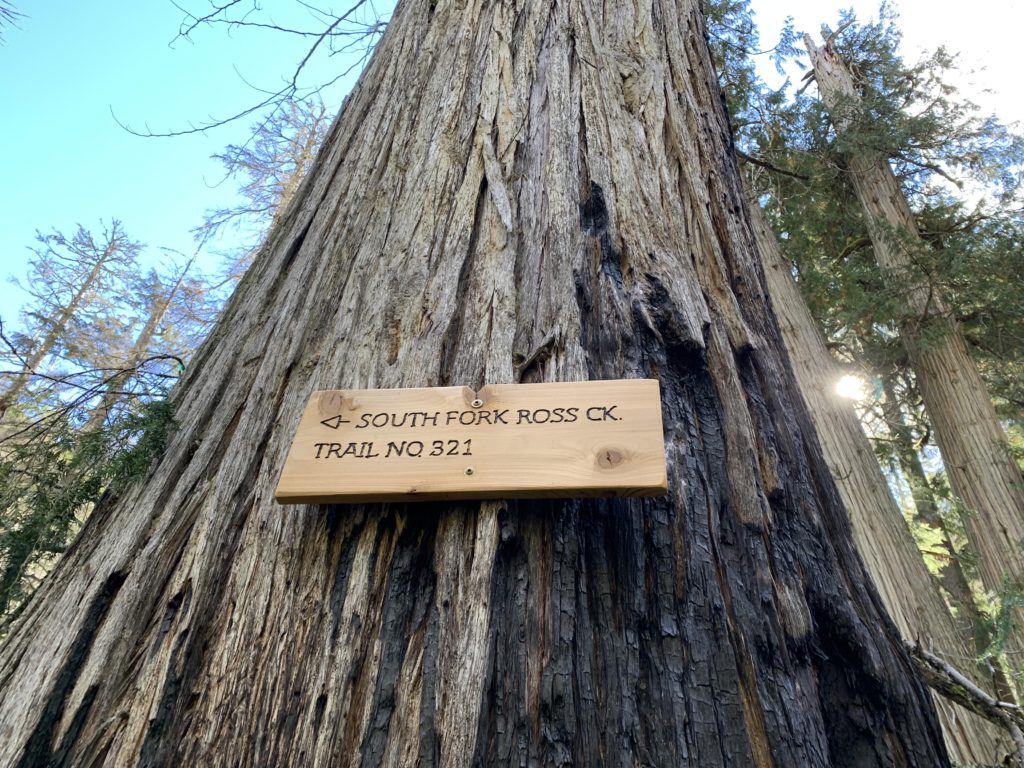
To get to the trailhead, follow the Ross Creek nature trail to the middle of the loop and you will find signage pointing to North and South Fork Ross Creek. The mighty cedars that make the Ross Creek Cedars famous by no means stop at the end of that scenic area; rather, trail 142 continues along the bottom-lands beneath a well-shaded ancient cedar canopy. The trees perhaps aren’t as mighty and old, but are impressive nonetheless, particularly the moss-covered fallen giants and the stumps that appear to survive for centuries after the death of a tree.
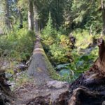
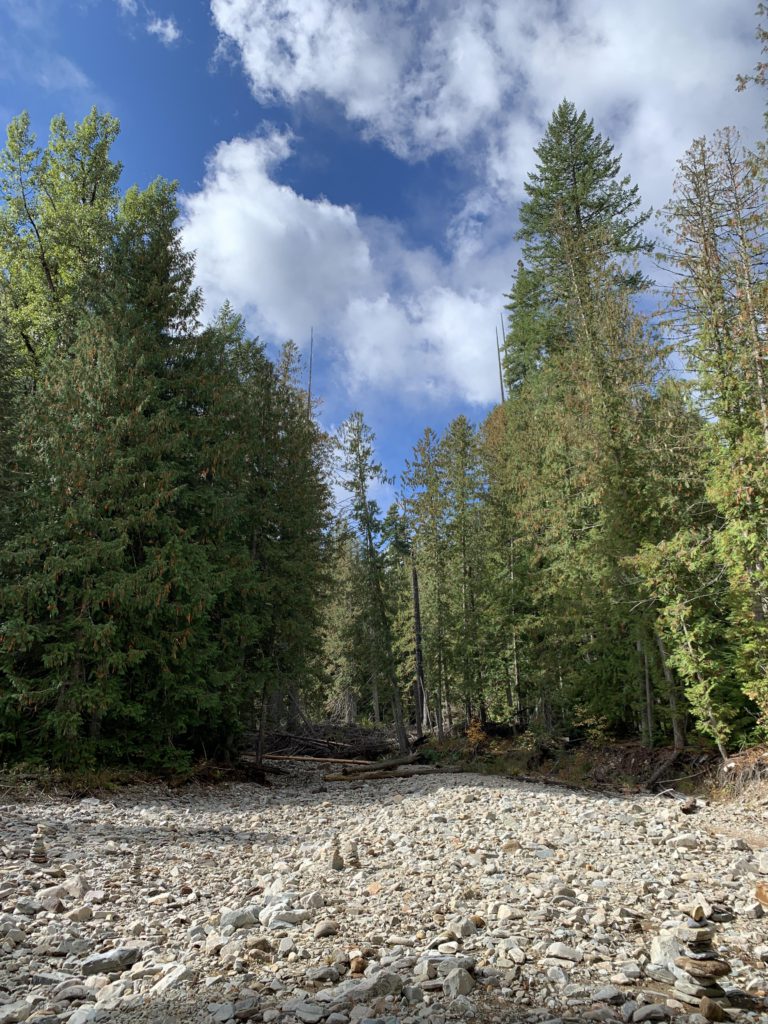
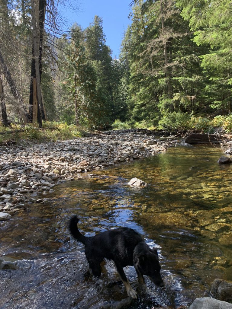
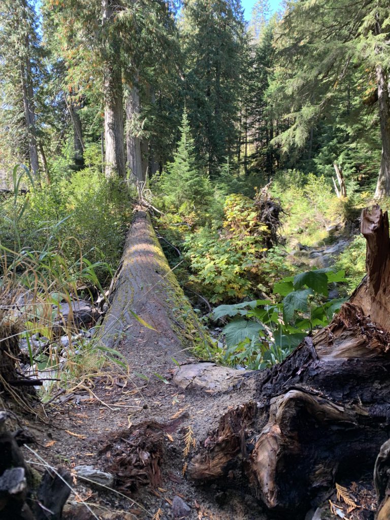
After about a mile, the trail touches on a dry creek bed of Ross Creek, with the creek now running further south. Continuing on, the trail soon after approaches the creek water, but remains on the north side of the creek to just past the 2-mile mark. The trail near the crossing was rerouted (watch for pink ribbon) and instead of fording the creek, the path now leads to a giant cedar lying across the creek and ensuring a dry crossing in perhaps all weather situation. The trail then cuts through the woods and catches up with the old trail #142. New signage is installed, but since the crossing was moved further west, you’ll have to backtrack towards the South Fork Ross Creek. The junction with trail #321 is signed, but #321 is quite overgrown, so keep an eye out. If you reach the South Fork you’ve gone too far; backtrack and look for new signage affixed to trees.
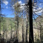
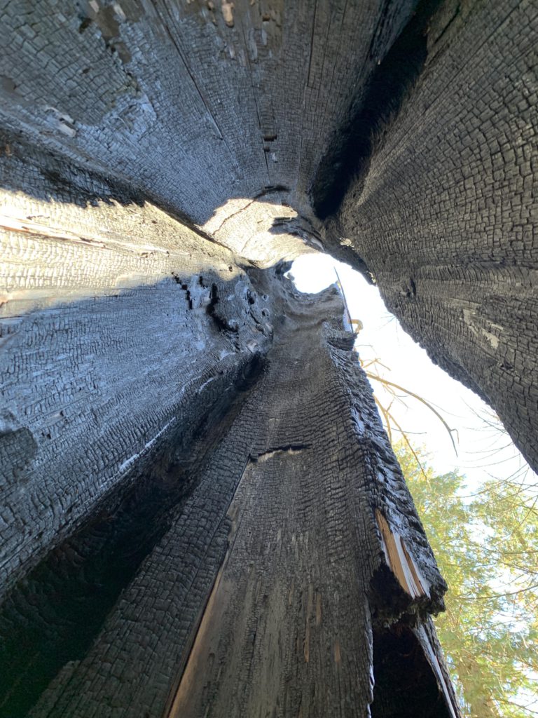
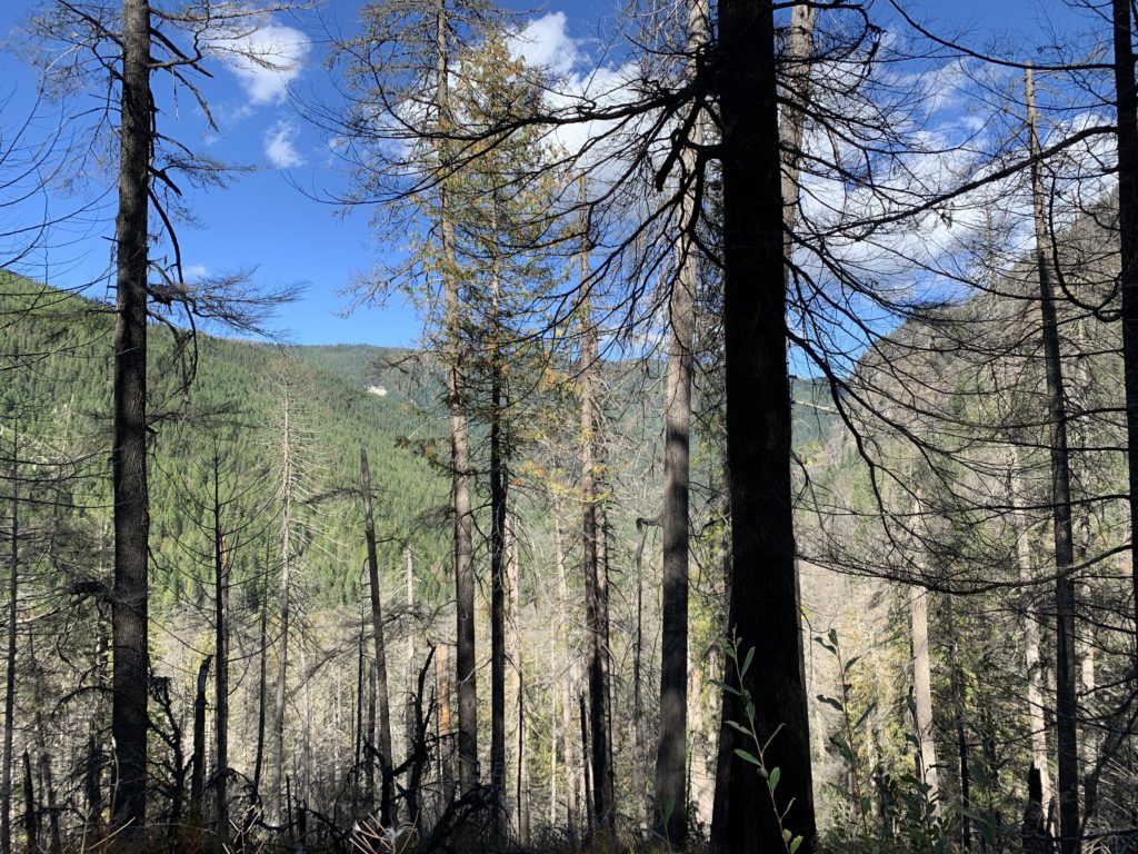
Once on #321, the trail quickly lifts off the river bottom, climbing quite steeply for the better part of a mile. Filtered views open up of a lower ridge of Billiard Table that burned a few years ago. In fact, the area that the trail traverses burned in 2015 (Sawtooth Fire), but many trees appear to have survived.
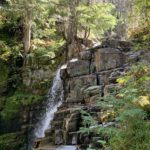
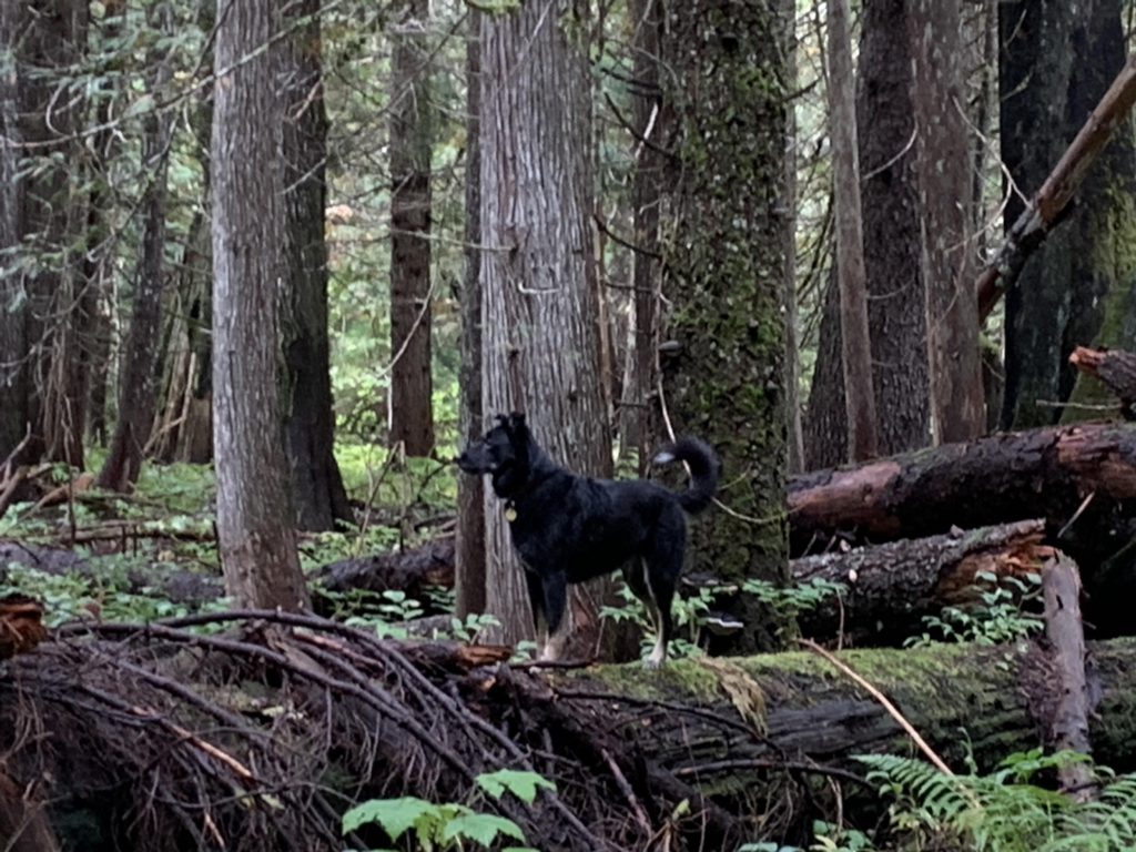
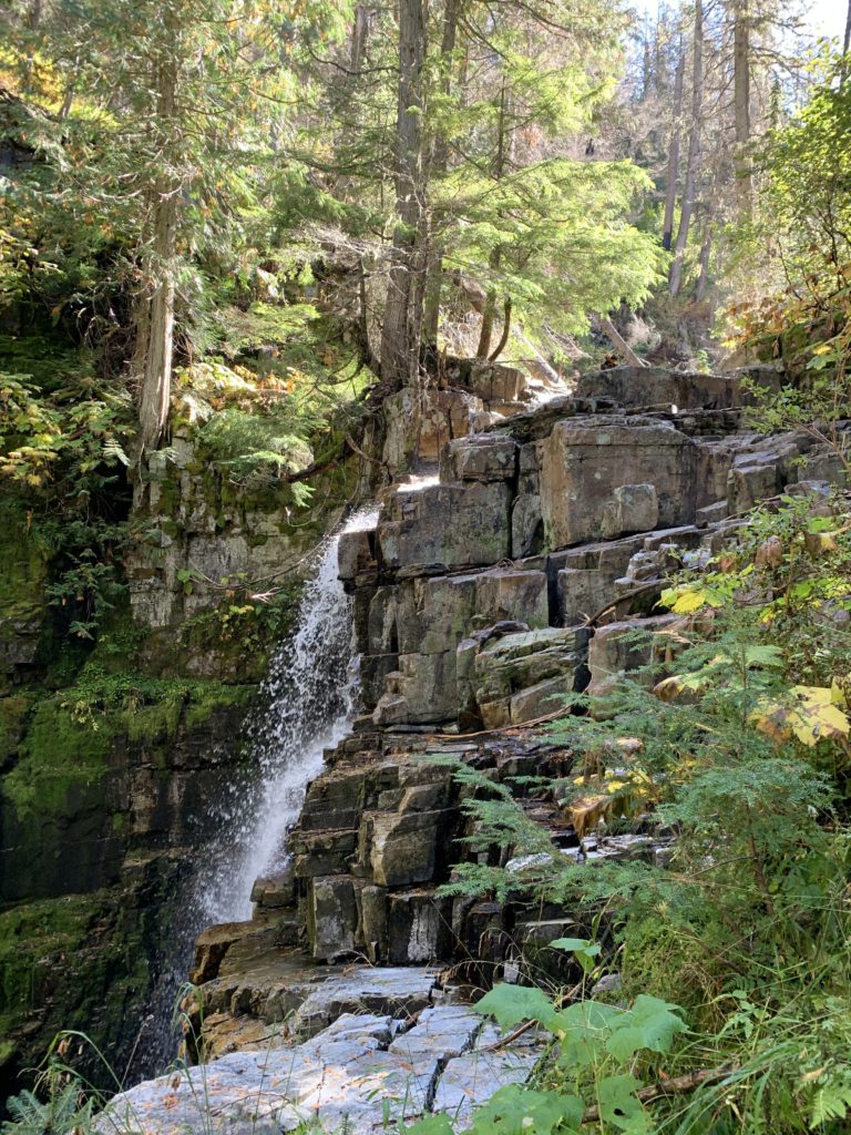
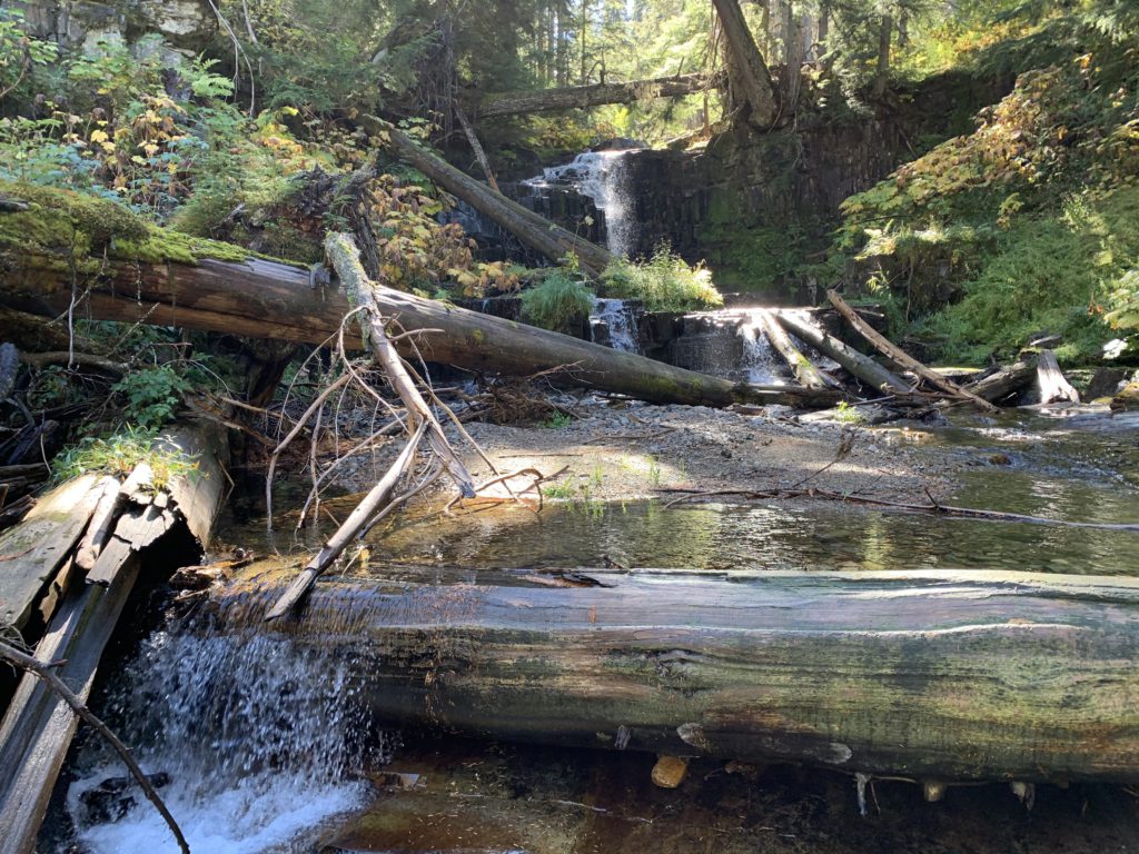
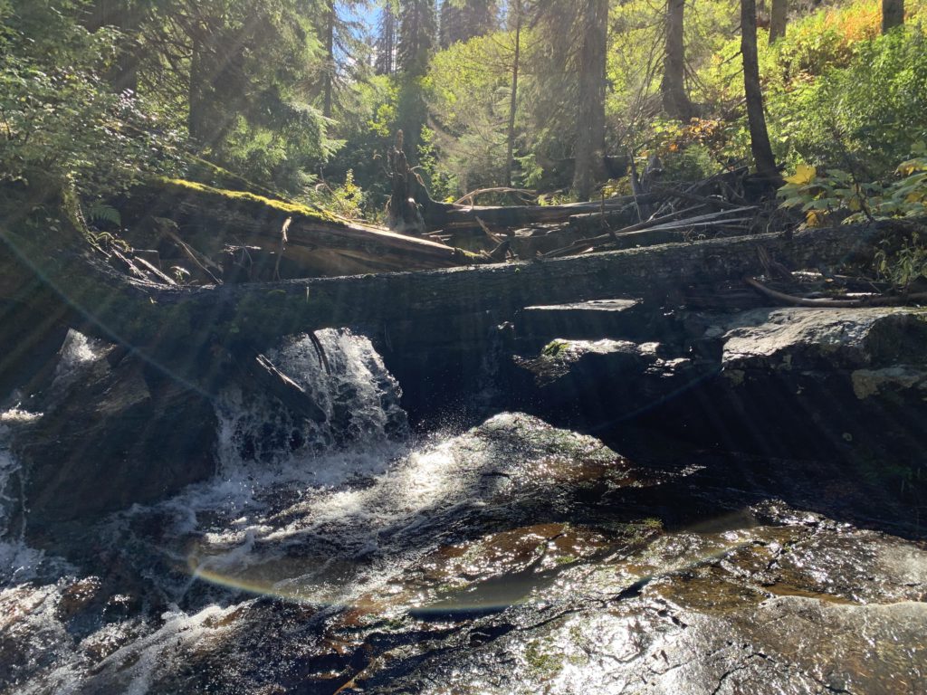
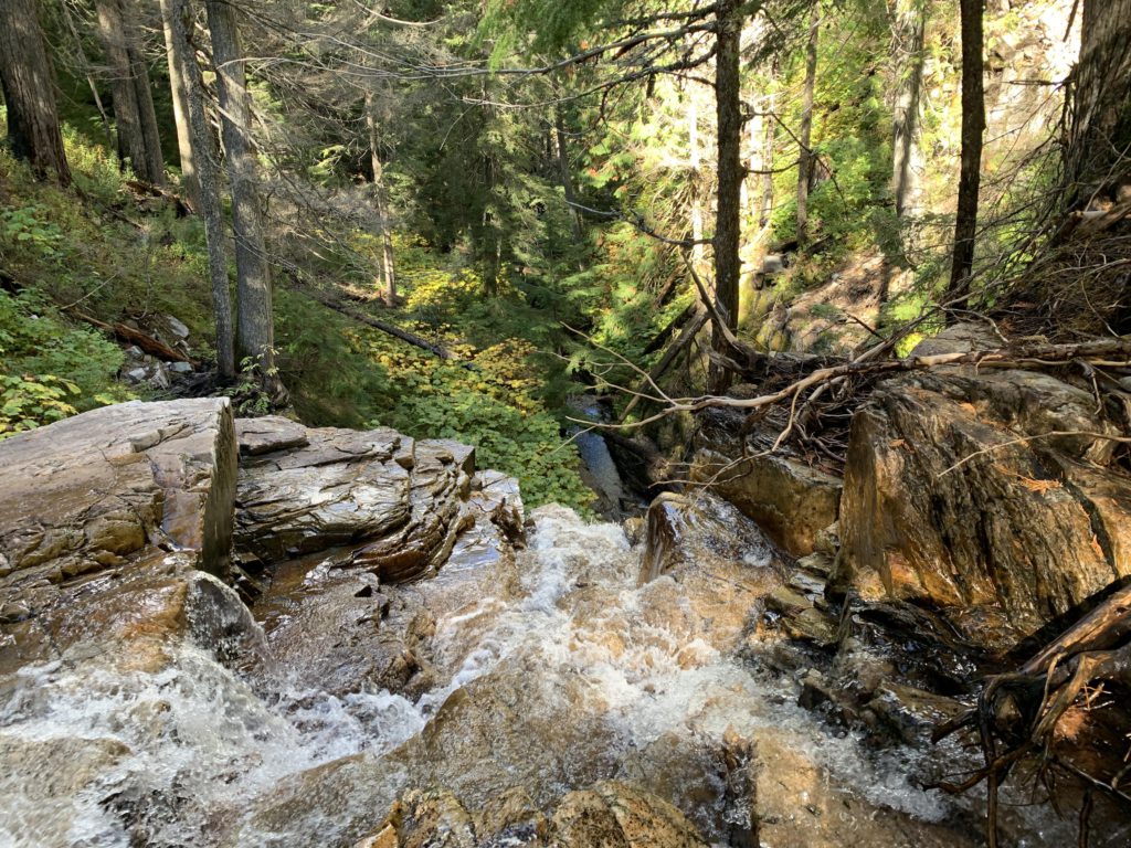
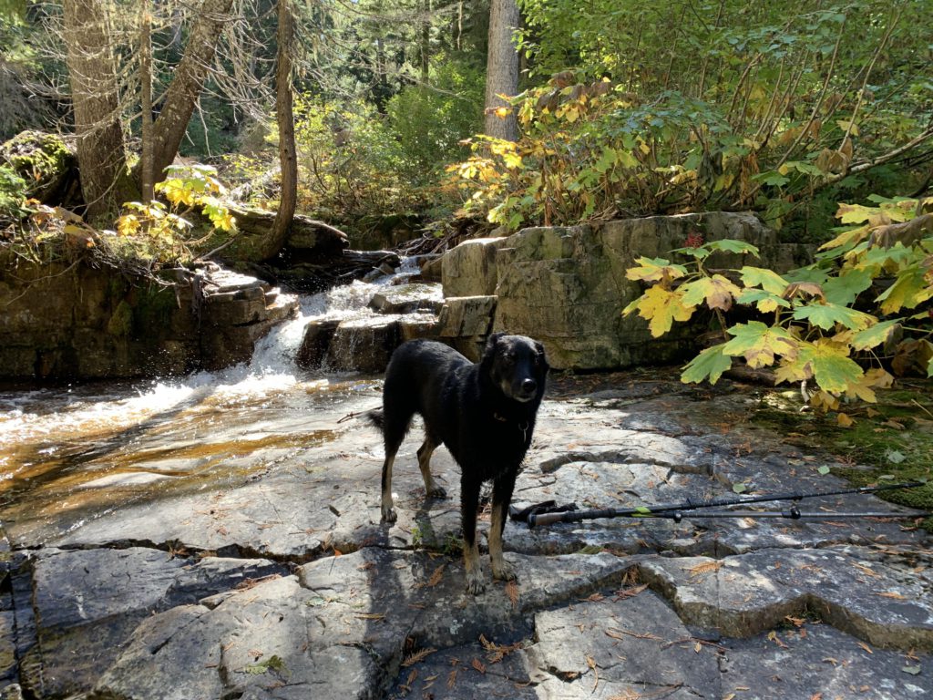
Trail conditions along the South Fork aren’t as goods as on 142, with more deadfall to contend with and sometimes dubious tread. It’s quite manageable, however, and roughly 4 miles after leaving Ross Creek Cedars you arrive at the cascades, a tall waterfall (somewhat hidden from view) followed by several smaller cascades higher up and a nearly perfectly level granite slab in the creek bed. The trail moves on, in theory, but doesn’t deserve that label as it is a mere game trail. Time to turn around!
Alternate Routes
- Trail 142 continues for 3 more miles along the North Fork Ross Creek
Things to Consider
Not so great