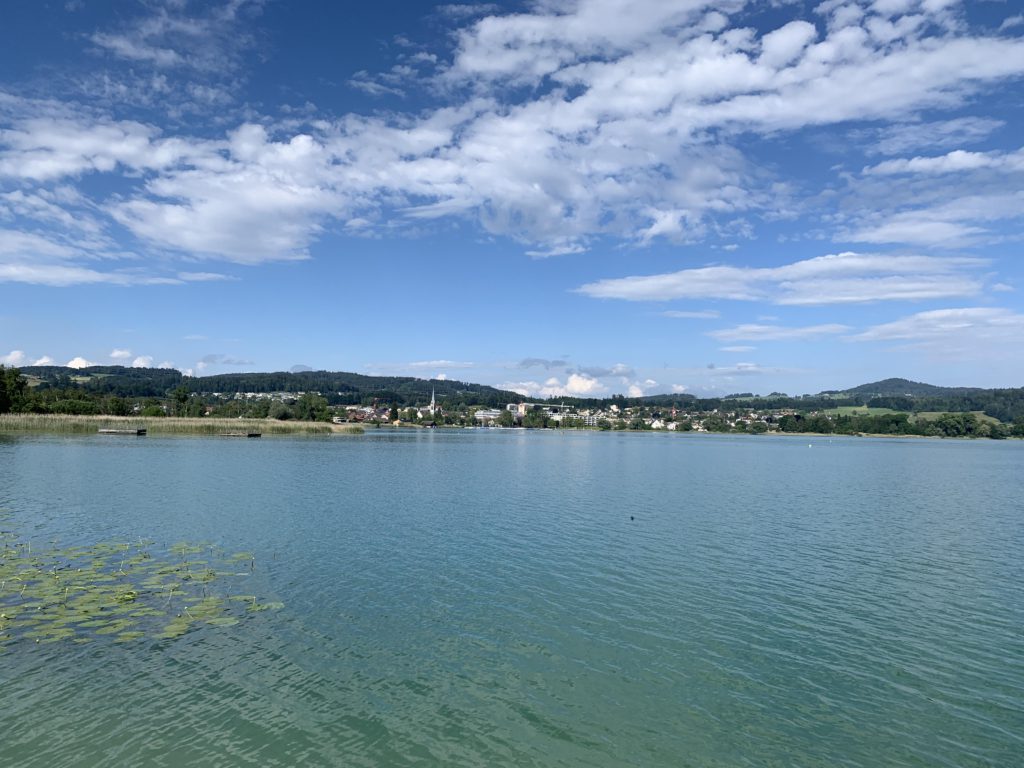
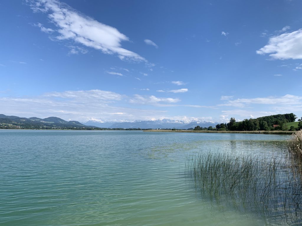
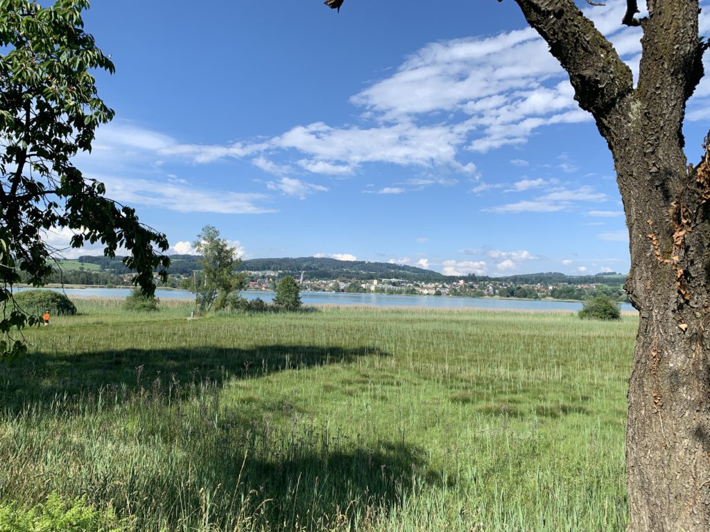
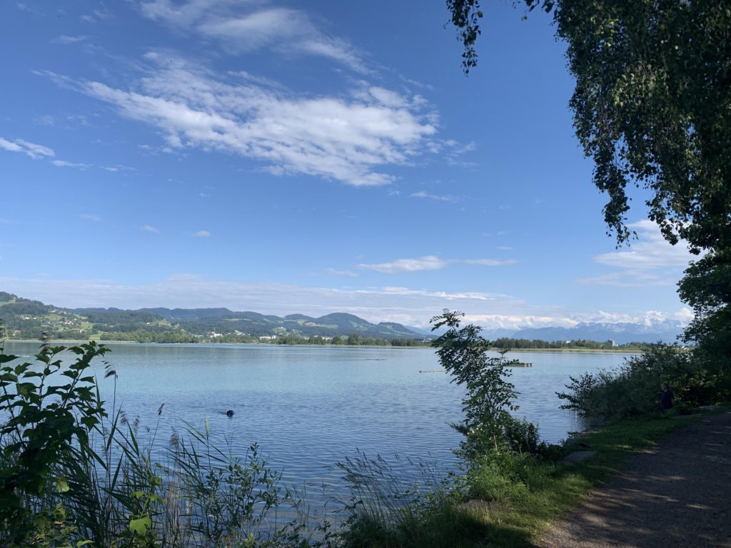
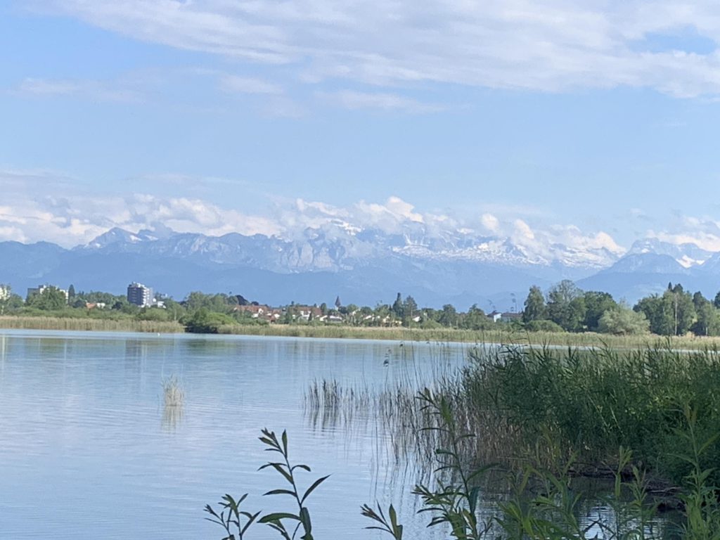
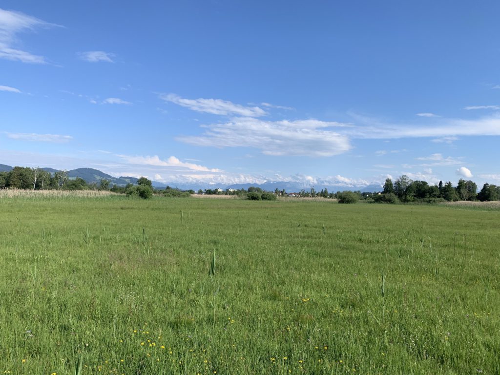
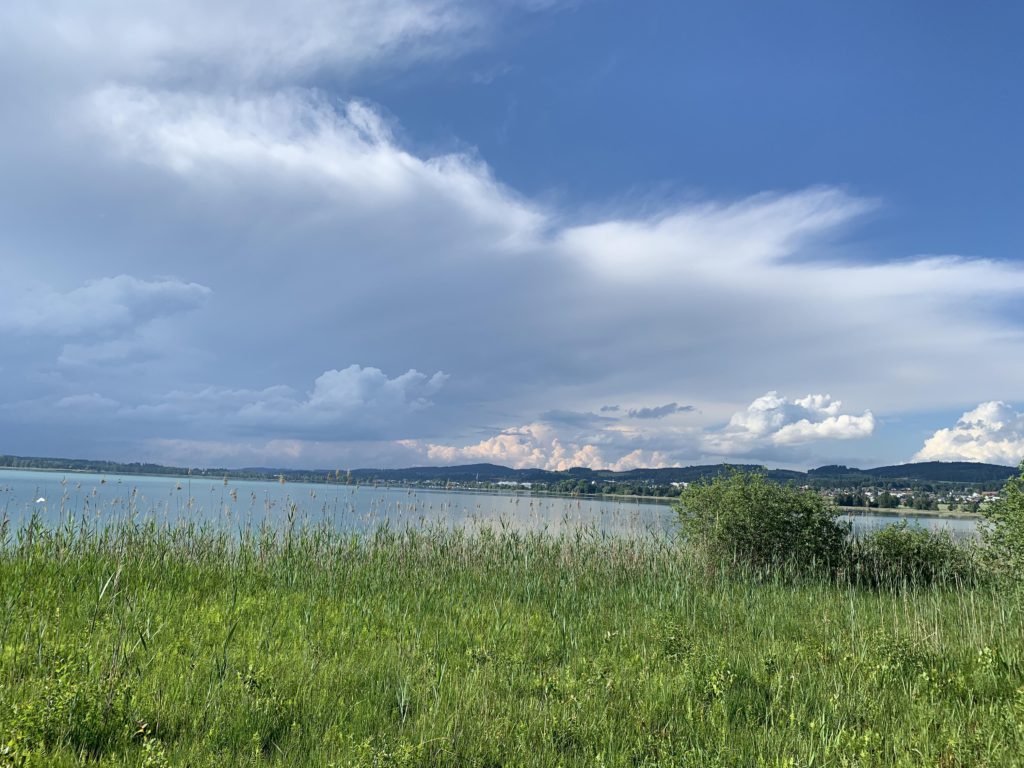
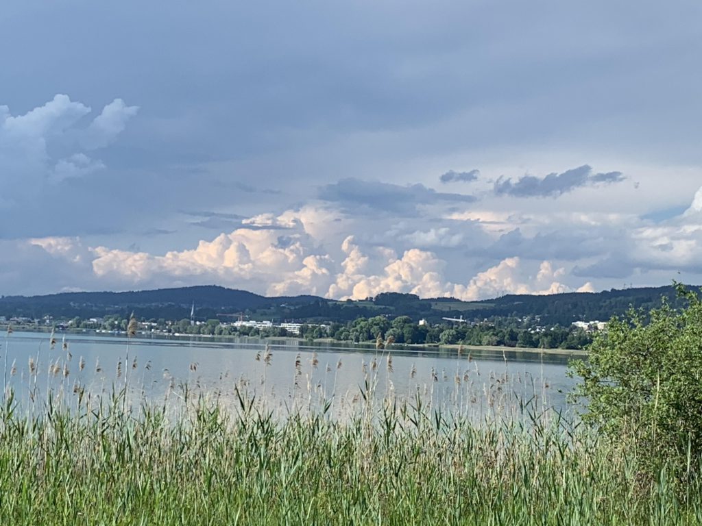
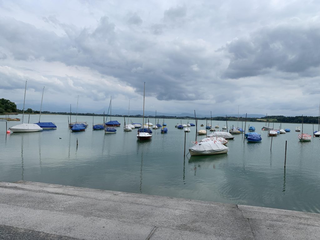
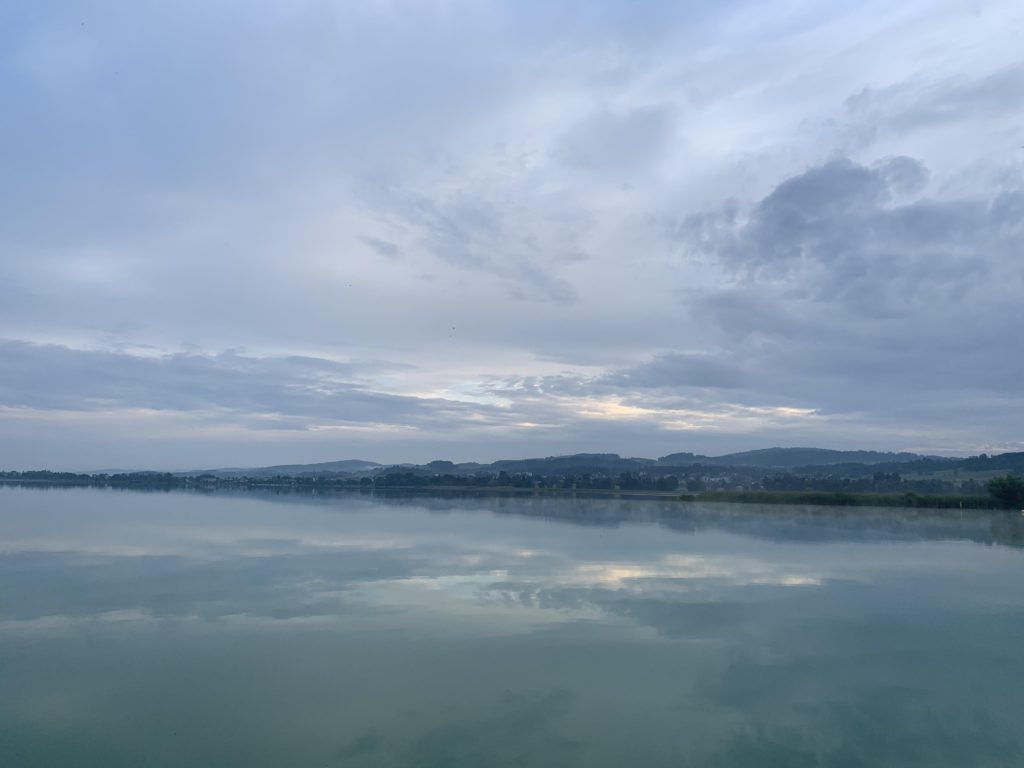
There are three prominent lakes in Switzerland’s canton of Zurich, of which the Pfaeffikersee is the smallest. Thus, the hike around the lake is relatively short, but the setting is rather pretty, despite the dense population of the area, as the lake is almost entirely surrounded by protected marshlands and reeds. For me, this was also a short stroll down memory lane, having grown up in Pfaeffikon.
Location
- Switzerland
Rating
2.6 out of 5
Difficulty
Easy
Distance
5.6 miles
Duration
1:19 hours moving time (Hiking)
Elevation Gain
68 feet
High Point
1,835 feet (Roman fort)
Low Point
1,753 feet (Lake)
Features
Outing Type
Trail Type
Trailbed
Gravel
Trail#
Water
Camping
- None (car-camping in Auslikon)
Conditions
- Excellent
Administration
Status
Maps
USGS
Fees & Permits
Open To
Directions
Season
Year-around
Resources
Nearby
Date
June 20, 2019
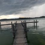
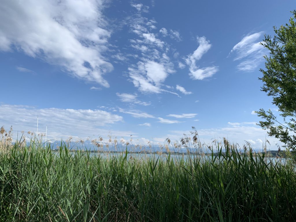
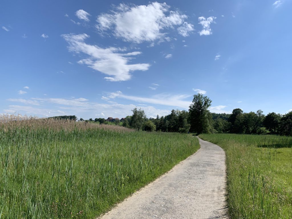
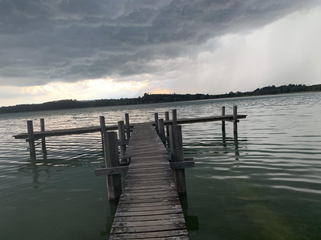
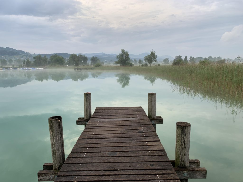
Most of the trail is graveled twintrack that hugs the lakeshore closely. You’ll find frequent access to public fishing docks if you want to take pictures or cast a line. Near Faichrueti, you’ll find a table, bench and firepit for picnicking. There are public swimming beaches in Pfaeffikon, Seegraeben, and Auslikon.
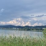
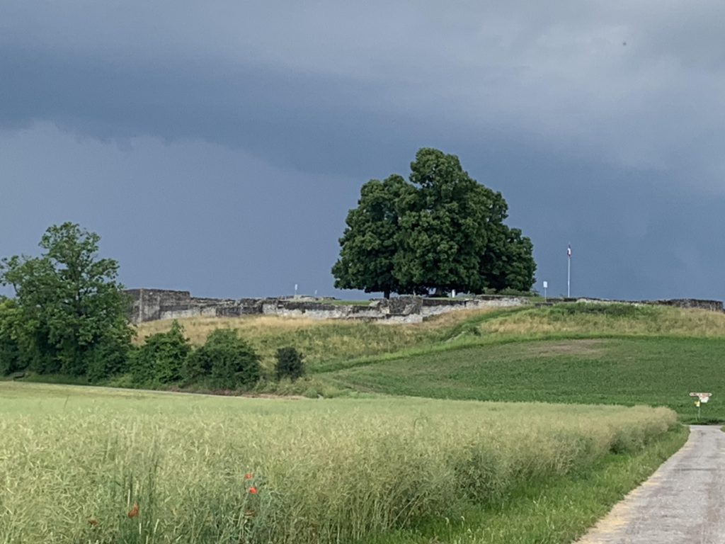
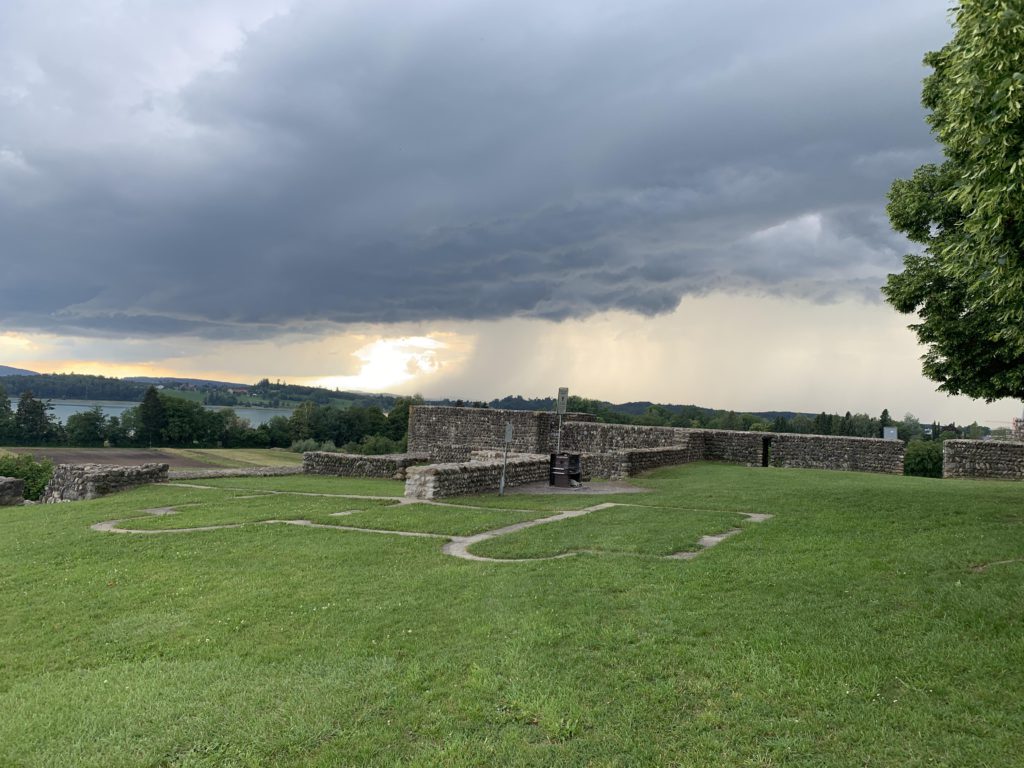
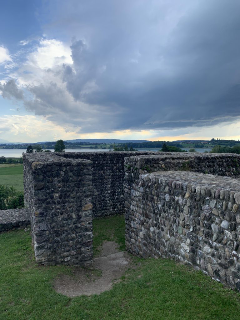
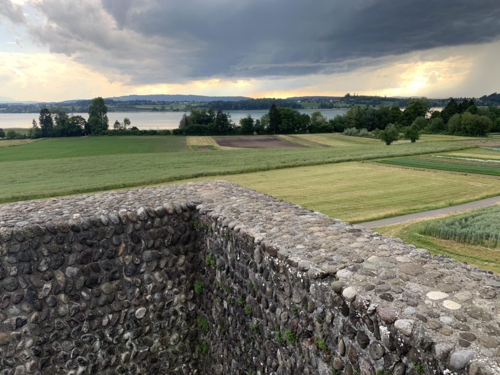
Lake aside, the highlight of this loop is probably the Roman fortress at the south end of Pfaeffikon, which is one of the largest and quite well preserved. Pfaeffikon dates back to Roman times, but the lakeshore was inhabited even as far back as the stone age.
Alternate Routes
- The trail connects to other area hiking trails; of particular interest may be the one heading towards Faichrueti to the Roman Springs (Roemerbruenneli)
Things to Consider
Not so great
© 2016 – 2025 NaughtyHiker. All rights reserved. No duplication without permission.