- Cabinet Mountains
- There is no camping at the trailhead
- Junction 140/317
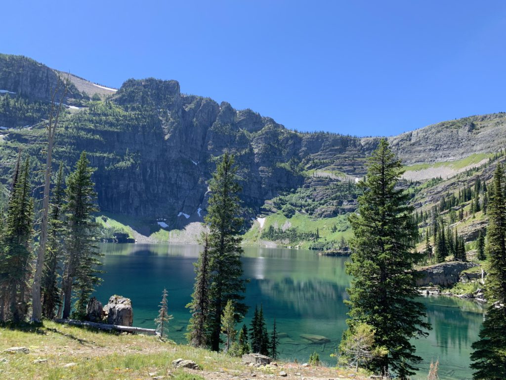
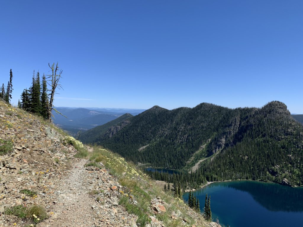
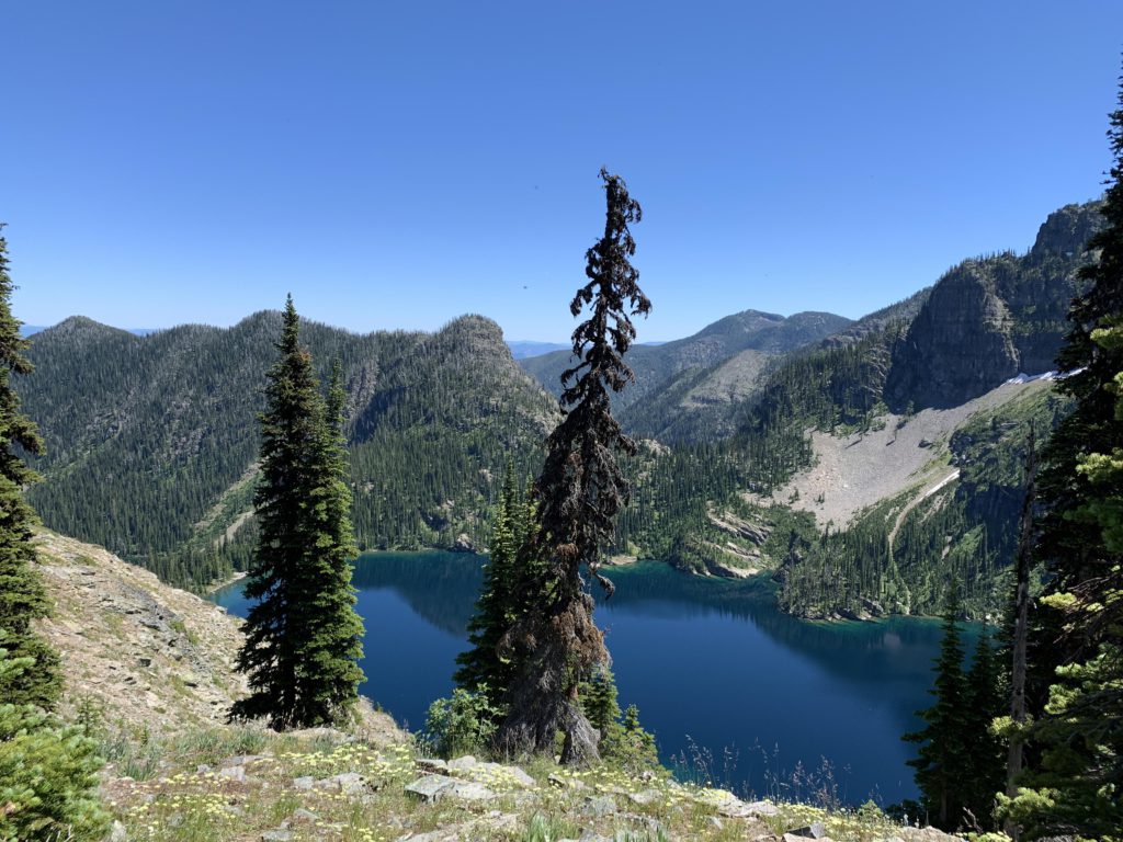
- Upper Cedar Lake
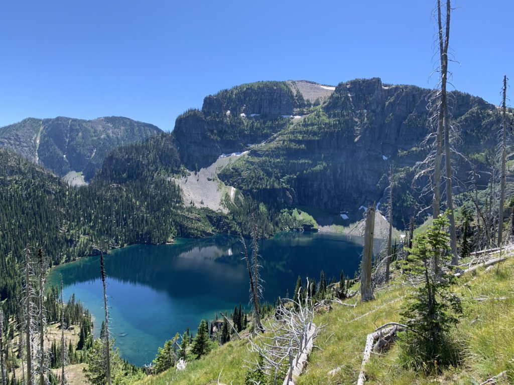
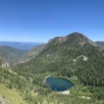
- Lower Cedar Lake
- You could make dry camp in many places along the Divide Trail
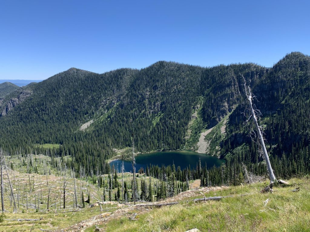
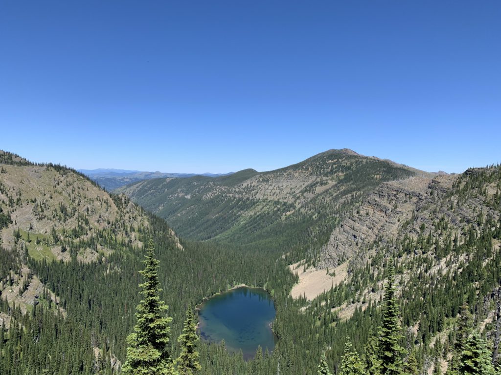
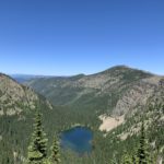
- Sky Lake (if you take that detour; about 1.5 steep miles one way)
- Minor Lake (if you take that shortcut)
- Junction 137/135
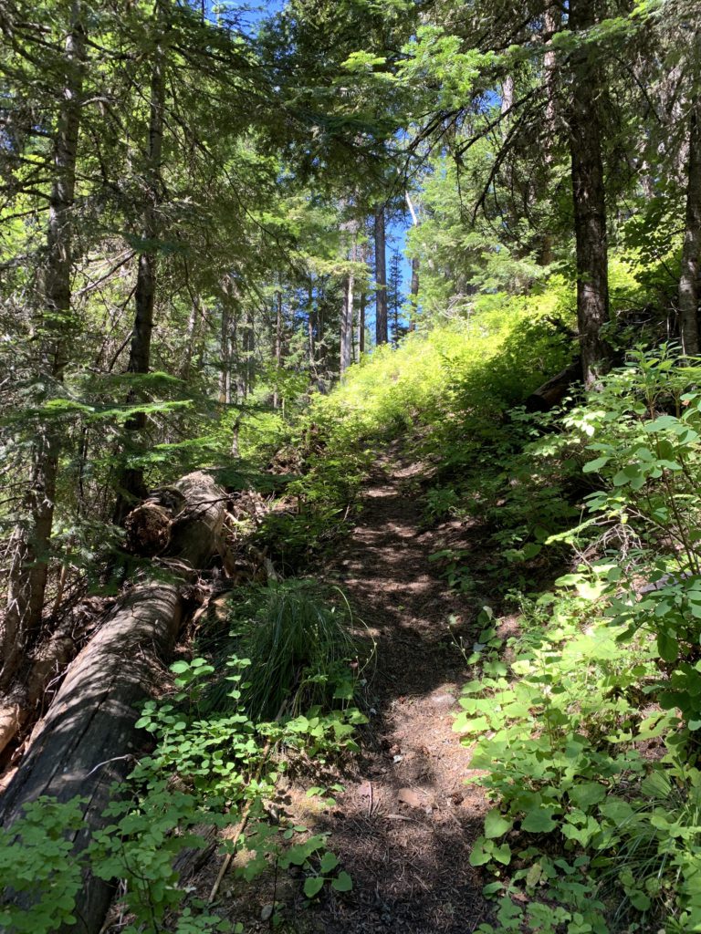
- Overall fairly good. A few logs to climb, particularly within the Wilderness
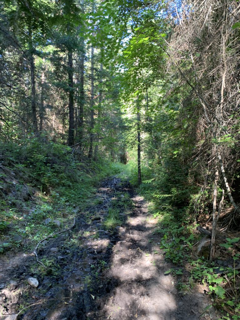
- A few stretches of the Flower Creek trail were brushy
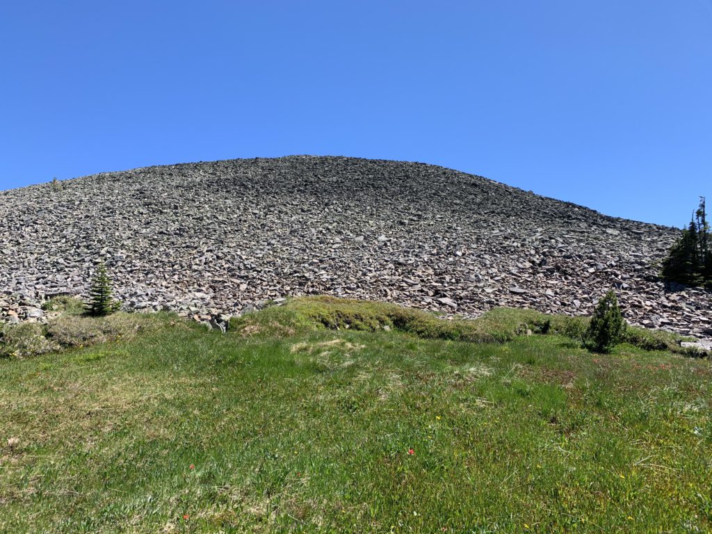
- There is no trail to Dome Mountain (mostly talus)
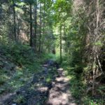
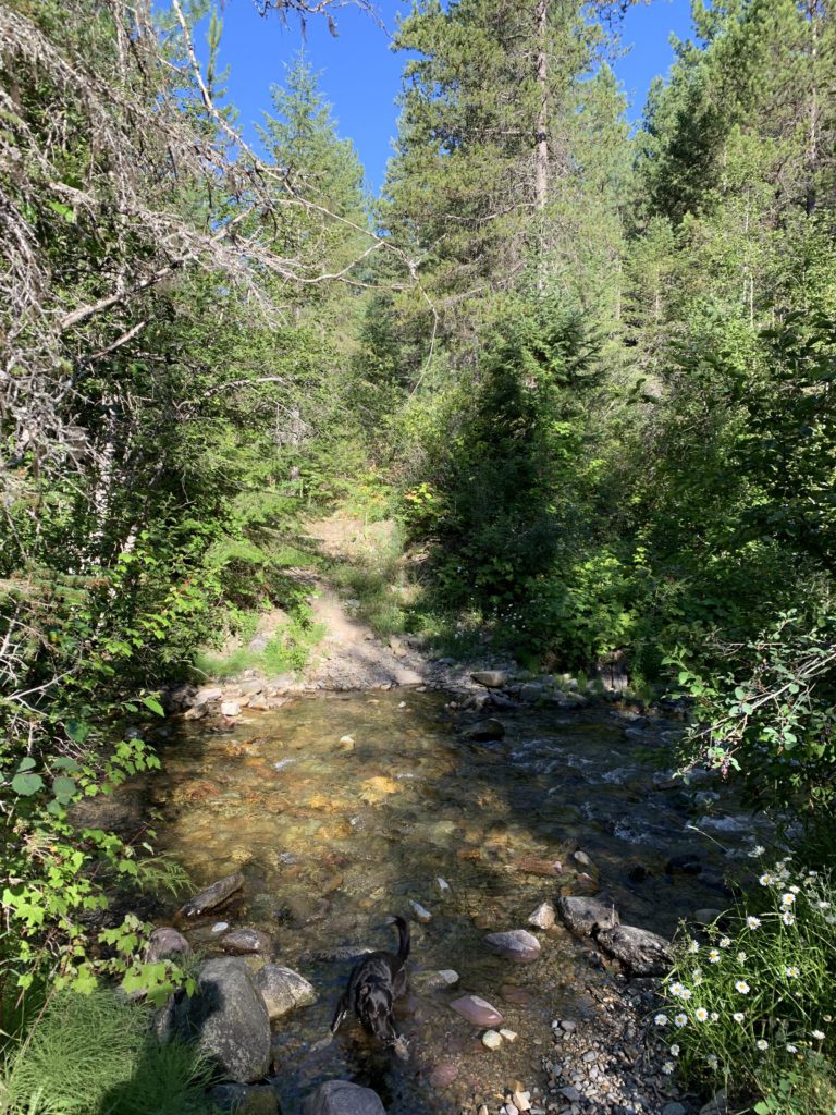
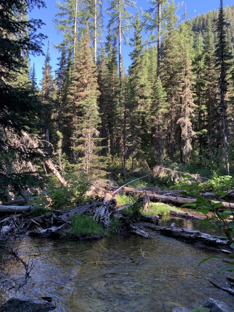
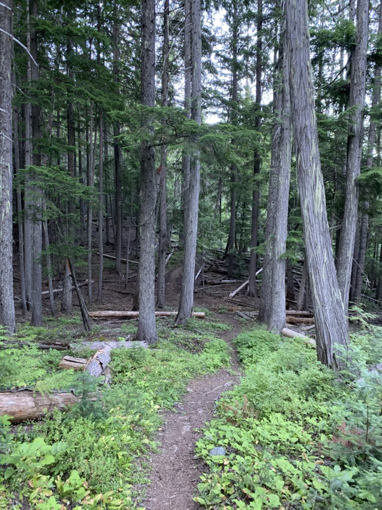
Of the many reasons to hike this loop through the best the norther Cabinet Mountain Wilderness has to offer, trail accessibility is just the icing on the cake, with the trailhead barely outside the Libby city limit. Trail #140 starts out on an old forest road, dropping to Parmenter Creek in .75 miles. Early in the year, this could be a tricky crossing, but by late July there was just enough water to warrant taking off the shoes. Following the crossing, the trail parallels Parmenter Creek, still using an old forest road, but the path is essentially reduced to a singletrack. Near the 2.5-mile mark, the trail forks, with the right branch an alternative access point off FR-4727. Instead, head straight (left) and shortly afterwards you come to another fork, this one with with trail #15, which you’ll take on the way back. For now bear right, with the trail moving away from the creek at a steady incline. Nicely shaded, the trail is pleasant to walk on as it continuously re-approaches the creek only to shift away again.
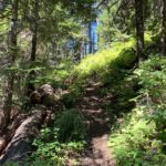
At the 6.5-mile mark, shortly after entering the Wilderness, the trail forks again, with the left fork heading up to Minor Lake on trail #317 (this is signed South Fork) and the right, signed North Fork (#139), climbing steeply, aided by a few switchbacks. Views of the North Fork are rather sparse and there is essentially no access to water until Upper Cedar Lake. The flora changes, with cedar trees becoming far and few between and the canopy opening up to a thick carpet of delicious huckleberries.
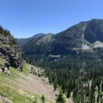
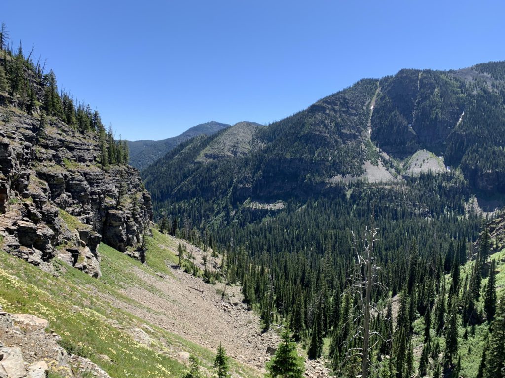
About 8.5 miles into the hike, the forest opens up as you draw near Lower Parmenter Lake. The lake lies to the southwest, and while its cirque is easy to make out, the lake itself remains elusive, as the trail climbs northwest towards the Cedar Lakes Gap. Diverting to Parmenter Lake would require a roughly half-mile bushwhack. Skipping that, the grade steepens and the forest recedes further, enabling excellent views of Parmenter Mountain. At the last switchback before reaching the pass, Lower Parmenter Lake becomes just barely visible, shielded by dense coniferous forest.
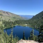
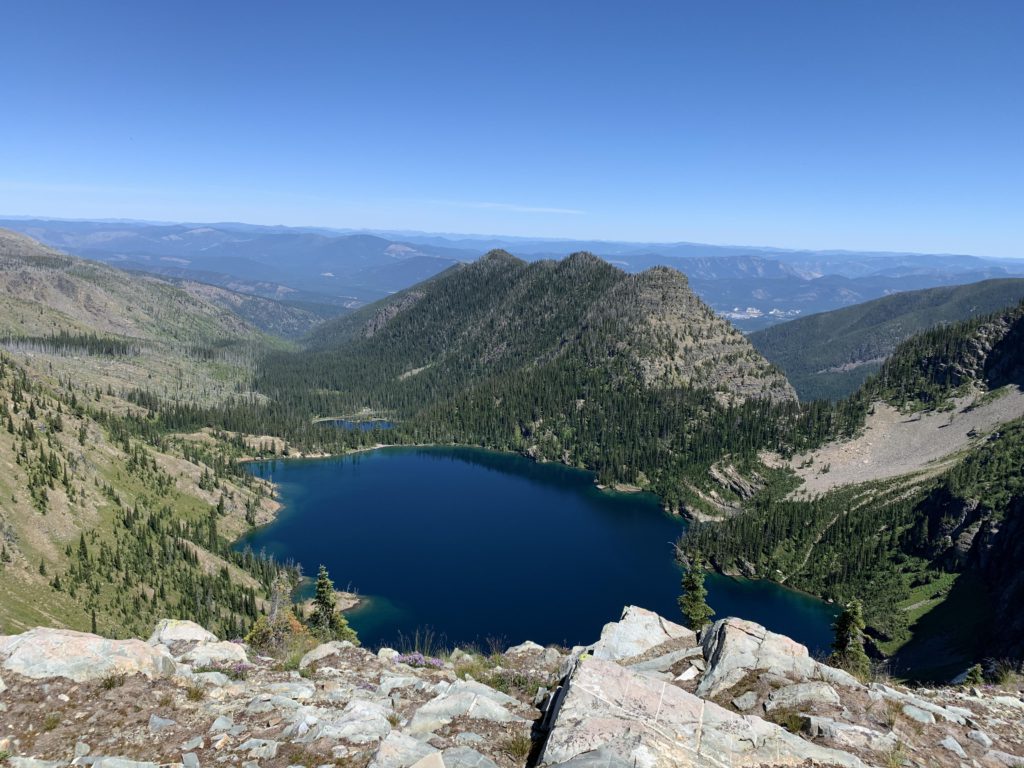
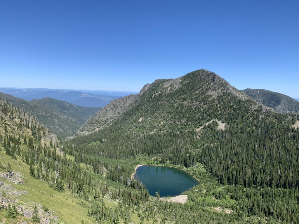
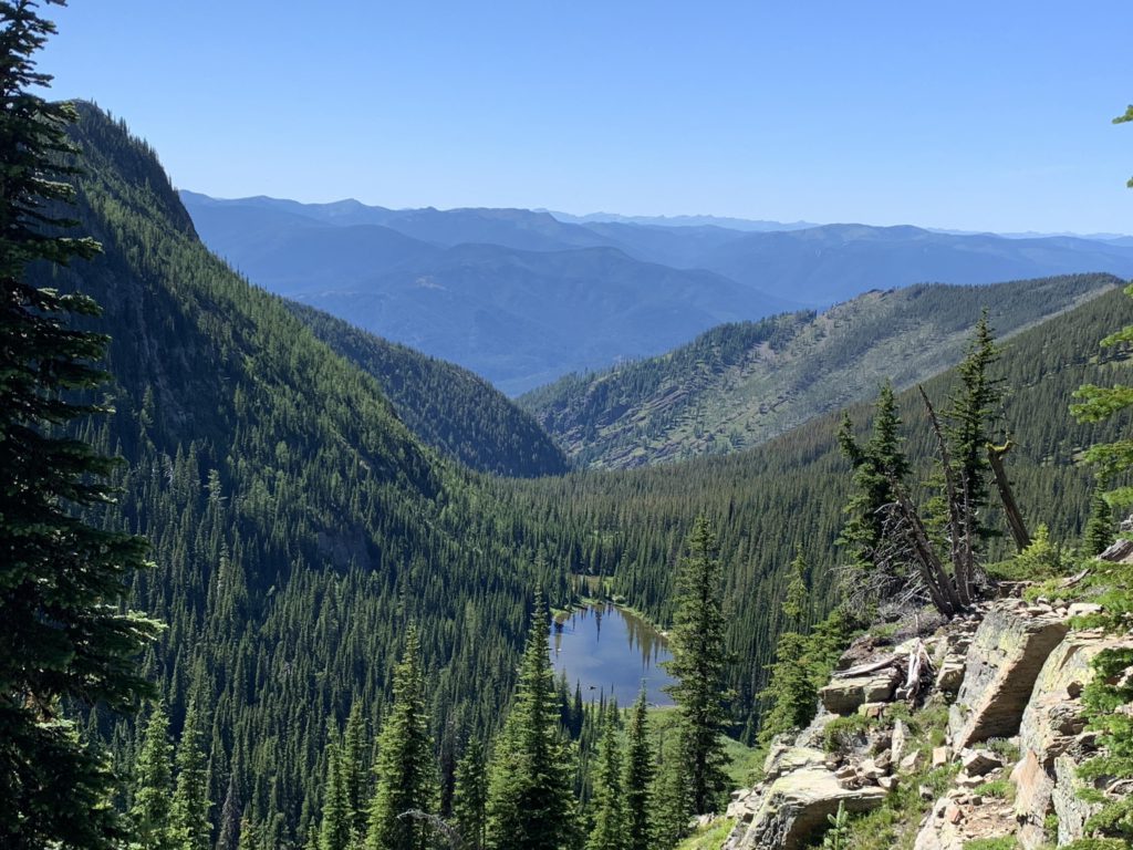
On the northwest side of the Gap, the decline is not quite as steep as the way up and and glances of Upper Cedar Lake, heavily filtered by subalpine fir, open up quickly. The trail descends a northerly flank of Norman Mountain to a prominent switchback where a short makeshift spur extends to a cliff with stunning views of Lower Cedar Lake. A bit past the 9-mile mark trail #139 terminates at Upper Cedar Lake.
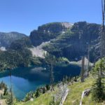
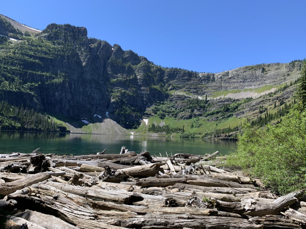
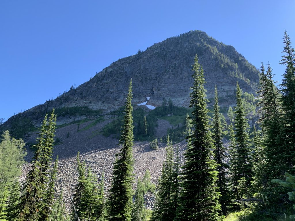
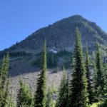
Upper Cedar Lake is very popular with equestrians, backpackers and mosquitoes. Rightly so, at least for the former two, as the steep vertical headwall of Dome Mountain is absolutely magnificent. The mosquitoes made sure we didn’t linger too long, just long enough to filter plenty of water for the dry trek on the Divide.
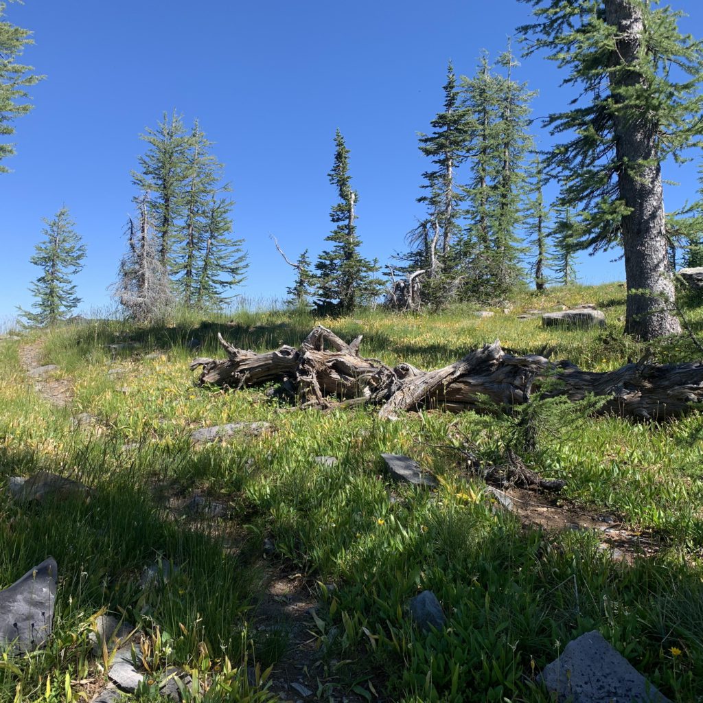
The Divide trail, #360, ascends a northeasterly flank of Taylor Peak that is studded with dead timber, so be prepared for some climbing over logs. That aside, the trail is good and the views great, particularly of Lower Cedar Lake and, as the trail climbs, Grambauer Mountain. The trail eventually turns and heads due West, rising steeply via a set of switchbacks at first, then contouring high above Upper Cedar Lake on a flower-strewn meadow, which make for a picturesque backdrop to the stark blues of the lake. At 6,600 feet, the trail moves behind Taylor Peak, trading views of Upper Cedar Lake with those of Upper and Lower Falls Lakes (the upper lake is barely visible, though). The trail hugs a vertical granite wall, as it curls around Taylor Peak and meets up with the Taylor Peak trail #320 at the 11-mile mark. Not even a half mile later, the trail re-approaches the ridge high above Upper Cedar Lake for what is likely the best view of the lake.
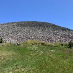
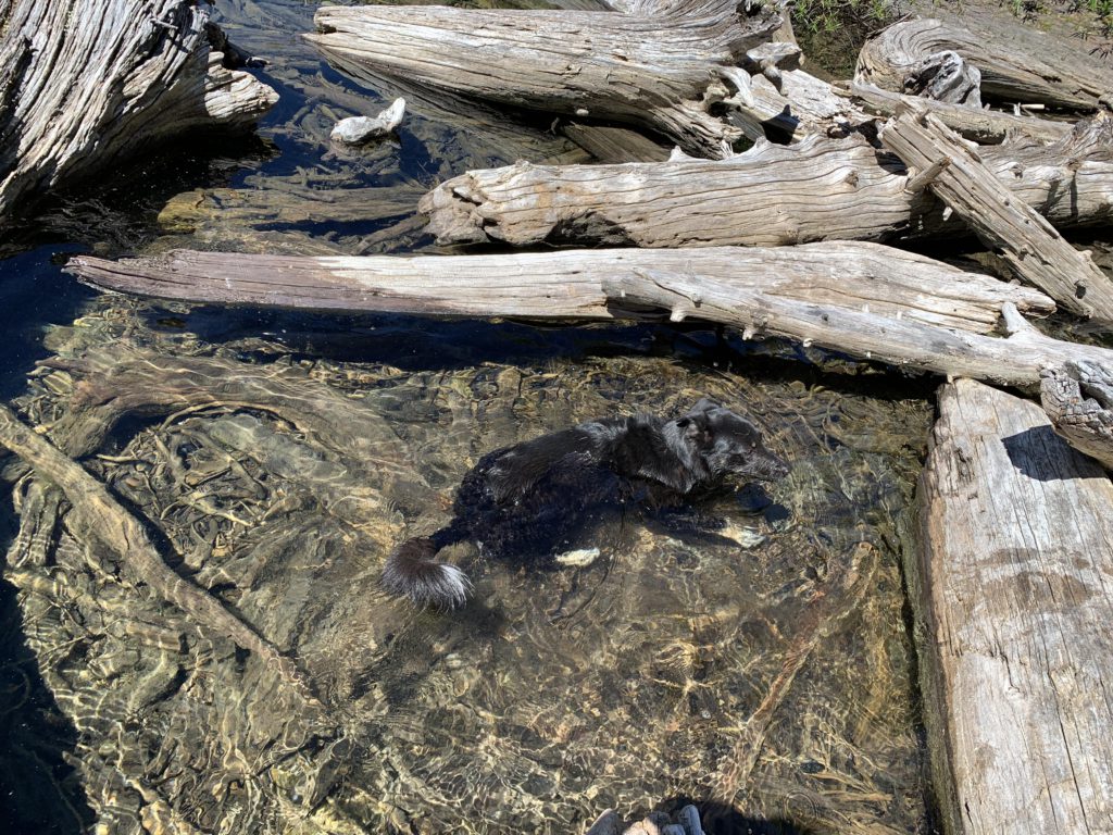
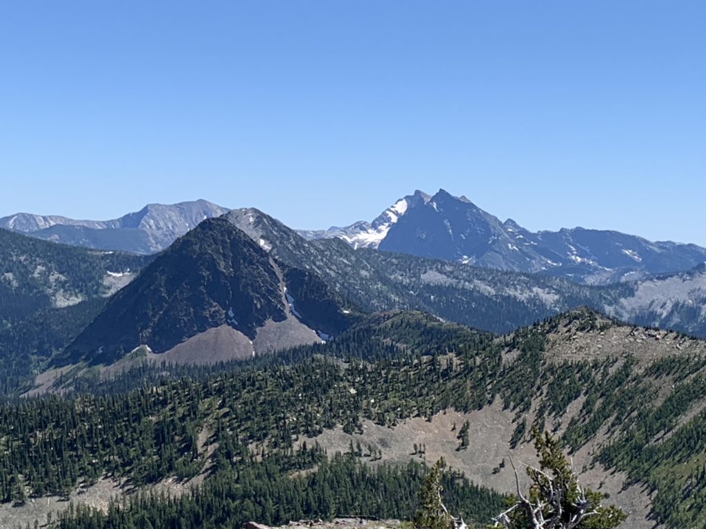
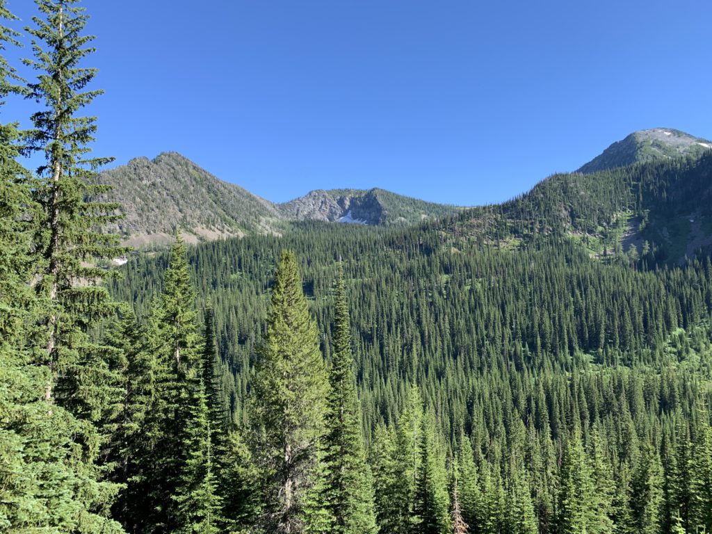
Watch out for a cairn near the 12-mile mark, which marks the beginning of a faint side trail up Dome Mountain (the main trail bypasses Dome Mountain). This side trail quickly enters a vast expanse of talus that stretches all the way to the top. Because Naughty is not terribly keen on walking on talus, we chose a route through the open forest on the northwestern face of Dome Mountain. The very top of the Dome is all talus, though. The unobstructed views from the Dome are fabulous, with glacier-covered Snowshoe Peak and A Peak prominently to the south. Elsewhere, you can spot the Bull River Valley, Libby, and, further east, the Rocky Mountains. Dome Mountain features a double peak, of which we only visited the southern one; the northern one may provide a bird’s eye view of the Cedar Lakes.
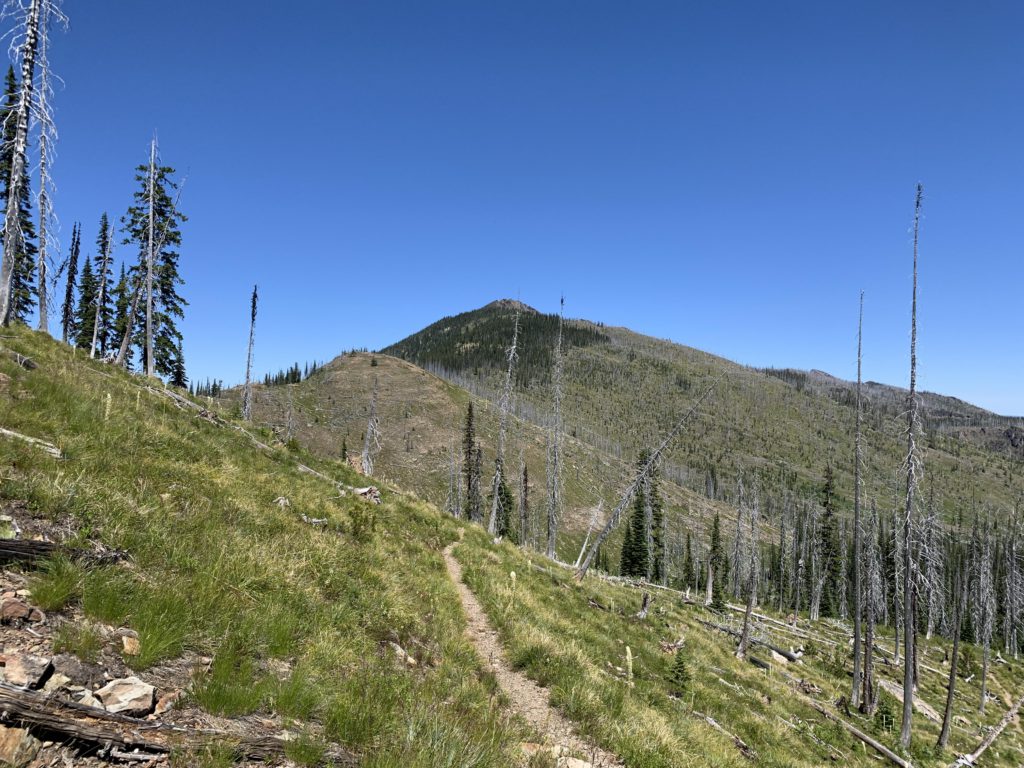
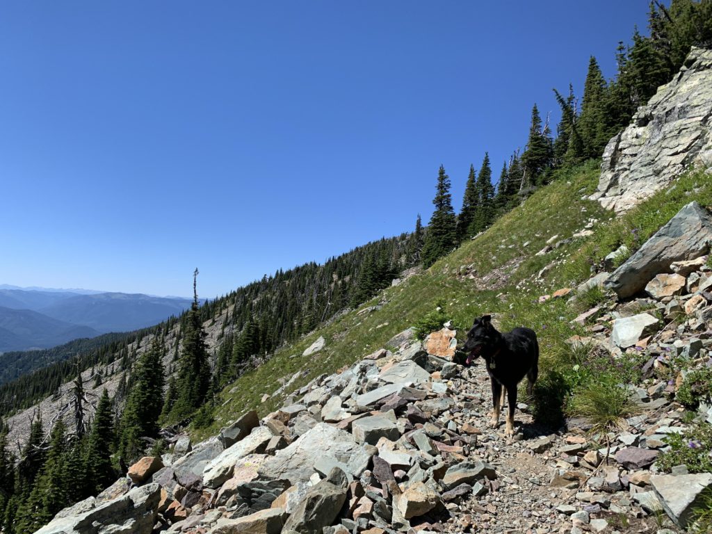
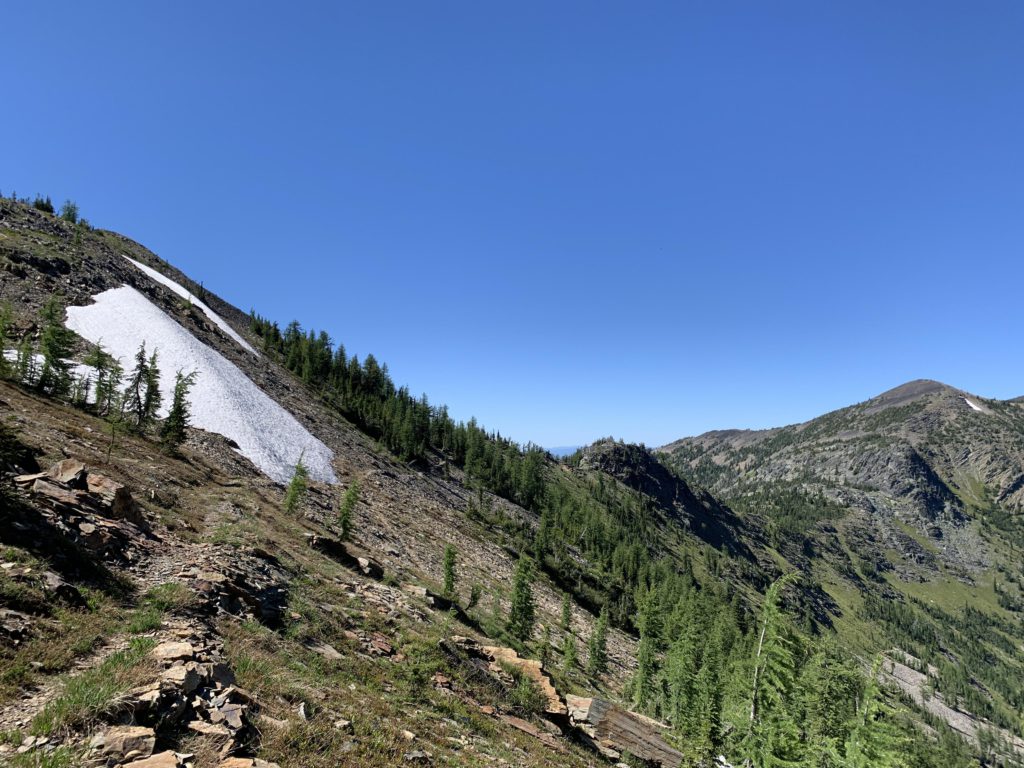
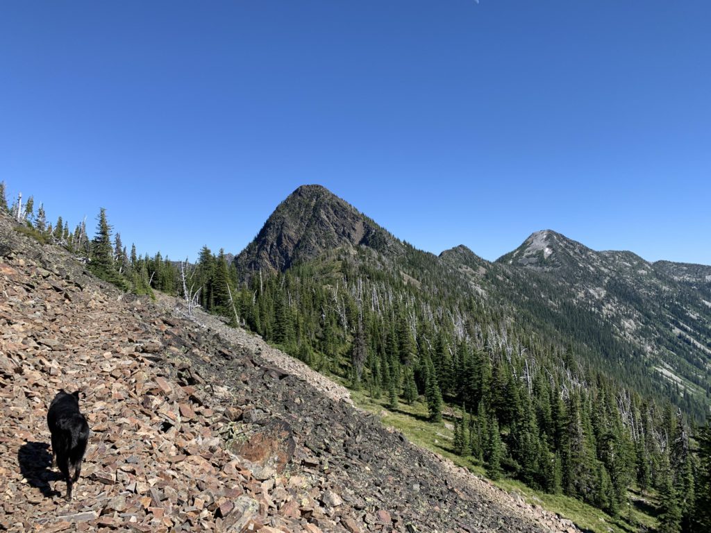
After Dome Mountain, the Divide trail extends for 5 or 6 miles, for the most part straddling the divide, with excellent views all around and a couple of alpine lakes far below (not trail-accessible). It makes for superb hiking, probably the best section of this loop. There are even a handful patches of snow, should you run out of water, but these may be gone by late summer.
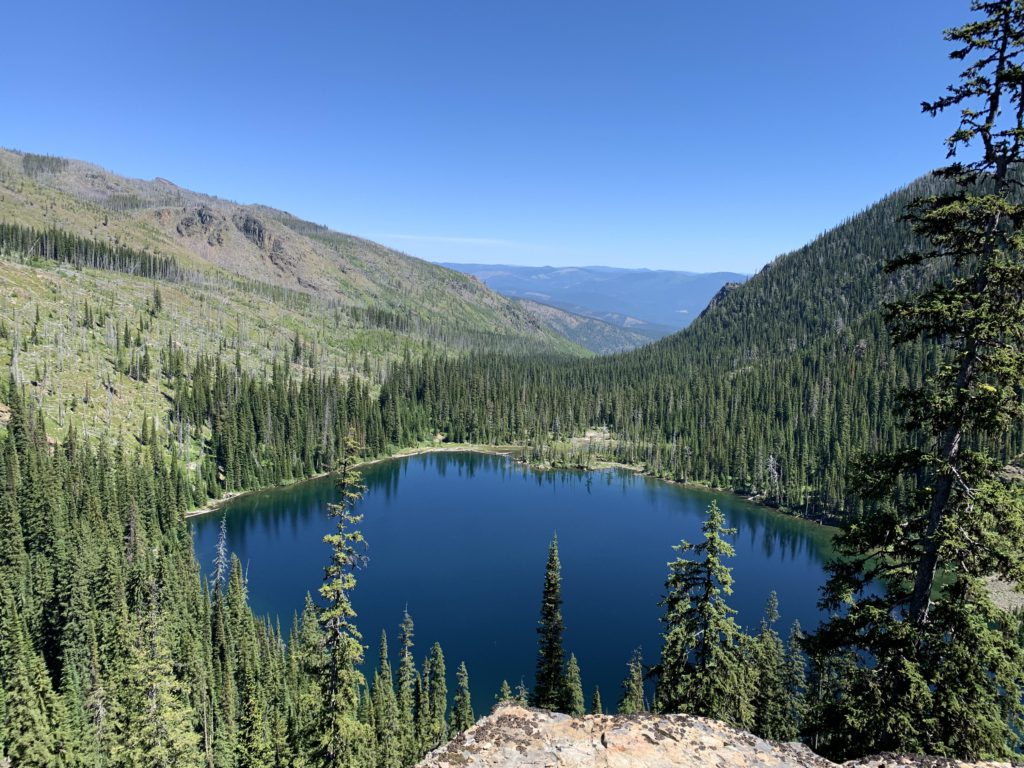
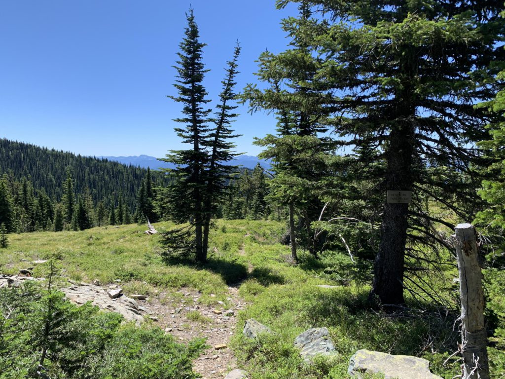
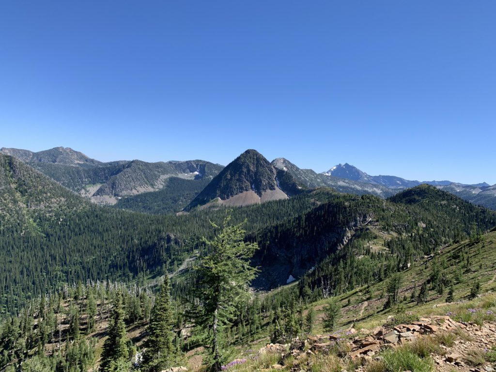
Sugarloaf Mountain, which features prominently in the distance, marks the end of the divide trail. A tarn at its feet past the 16-mile mark is the first opportunity to refill empty bottles, but getting there requires a short off-trail excursion, which we skipped. Not quite a mile later, all downhill, is the signed junction with trail #317 to Minor Lake on a pass between Sugarloaf Mountain and Weir Peak. It is not at the location indicated on the USGS maps–we walked down that route for a short bit so that it shows as a spur on the GPS tracks. Bear right and continue for perhaps 500 feet to a place where the trail crosses an outlet of Sugarloaf Tarn, which is where we filtered water.
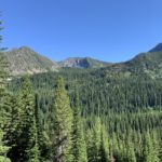
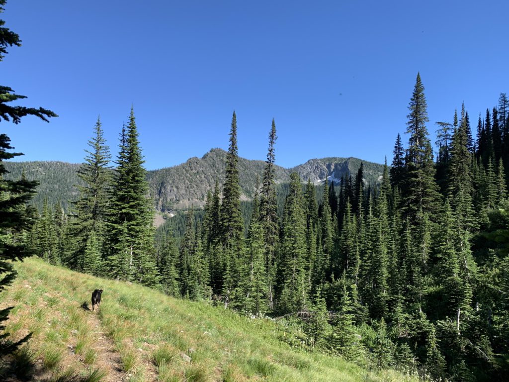
The trail continues southeast, dropping down the side of Weir Peak, through thinning forest and open meadows. There are good views across the valley towards the unnamed peak looming above the Sky Lakes and Treasure Mountain beyond it.
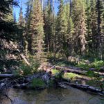
At the 20-mile mark, trail #360 ends, with the right fork going down (and then up) to Sky Lakes and the left following Flower Creek (#137) downhill. Thus, turn left (that is, straight) and continue through more open forest and an occasional meadow. Creek access is limited, but there are a number of tributaries. The best creek access is at the junction with the Hanging Valley trail, #135, which also features a nice campsite. Afterwards, the trail loses elevation quickly via a number of switchbacks, then continues above Flower Creek in a dense cedar forest and shortly leaving the Wilderness.
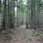
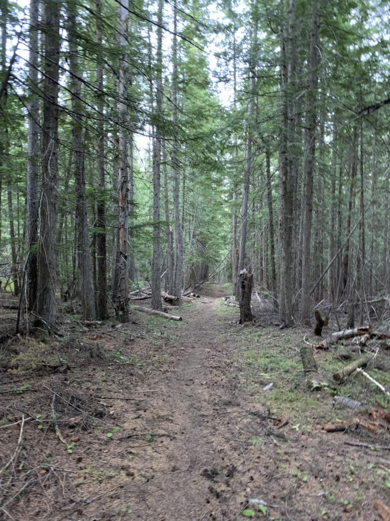
Trail #137 ends at the 23.5-mile mark at a parking lot and trailhead. To complete the loop, pick up trail #15 at the head of the parking lot, where it drops downhill to the right (there isn’t much of signage there, but a sign is posted at the head of the parking lot; just make sure to go downhill, not uphill). This connector trail is entirely outside the Wilderness and evidently quite popular with mountain bikers. It follows an unnamed and mostly dry tributary to Parmenter Creek for about 3 miles, crossing the dry creek bed several times and sometimes even re-purposing it to serve as trail. It is downhill all the way, and completely forested. Shortly before rejoining trail #140 is another crossing of Parmenter Creek, which is accomplished by means of a log. After that, it’s hiking back to the car the same way as the loop started.
Alternate Routes
- There are many possible extensions or shortcuts, particularly if you can organize a shuttle
- Trail 141 leads from the Cedar Lakes to the Cedar Creek trailhead
- Trail 320 heads down to the Bull River Valley from Dome Mountain
- Trails 137 and 135 extend to the Sky Lakes and Hanging Valley respectively
- End an open loop at the Flower Creek trailhead
- Return via Minor Lake trail 317 instead of 137/15
- From Upper Cedar Lake, hike out via Grambauer to either Highway 2 or Scenery Mountain/Cedar Lakes trailhead, but the trail to Grambauer is in deplorable conditions. I hiked it downhill on a separate occasion and will never hike it uphill!
- You may be able to bushwhack to the lower and upper Parmenter lakes from the Cedar Lakes Gap
Things to Consider
- It is bear country (both grizzlies and blackbear), but we saw none
- Creek crossings will be difficult during snow melt
- The mosquitoes were nasty near the lake. The Divide trail offers some of the best hiking and a constant breeze that keeps the bugs away
- Tasty huckleberries at around 4500 feet this time of year (late July)
- If you want to break this down into a multi-day backpacking trip, consider a first stop at Upper Cedar Lake (~9 miles), then dry camp on the Divide or do a side trip to Sky Lake (10+ miles), and hike out on the third (~10 miles)
Not so great