- Selkirk Mountains
- There are a few sites near the inlet to the lake and another right on the lake (but that area is swampy). There is also a nice spot on the saddle below Myrtle Peak, but it is dry.
- Excellent
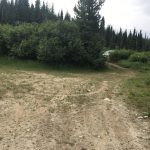
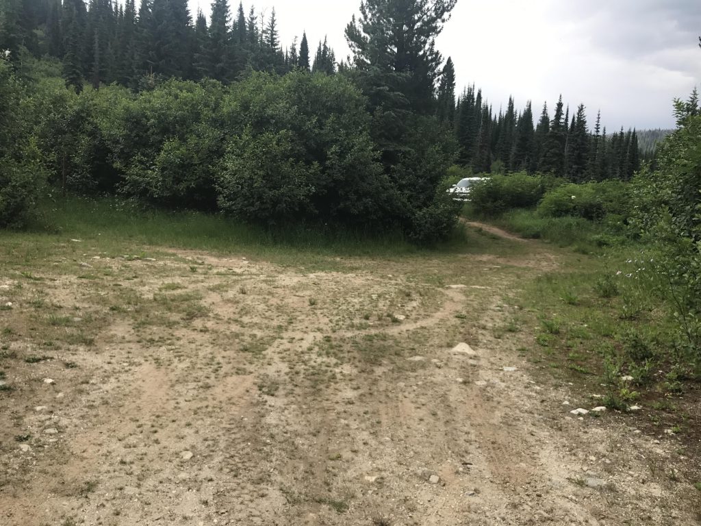
Forest road #2406 is in pretty deplorable conditions, deeply rutted and dug out, and requires a high-clearance vehicle. It is also quite overgrown and might add some character to you rig’s paint job. The going is really slow, and when we found a pullout about two-thirds up we decided we could hike almost (Scribe) respectively thrice as fast (Naughty) as driving. So if you drive all the way to the official trailhead, giving the alder shrubs sprouting in the middle of the road a bit of a haircut, then deduct about 1.5 miles from the mileage.
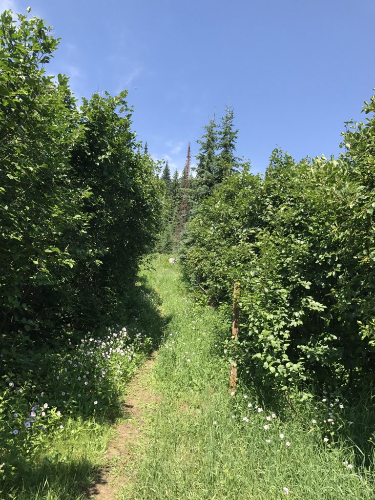
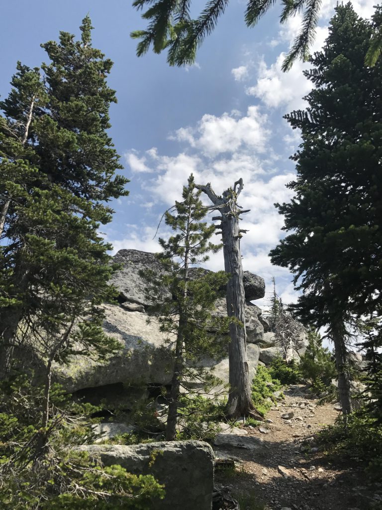
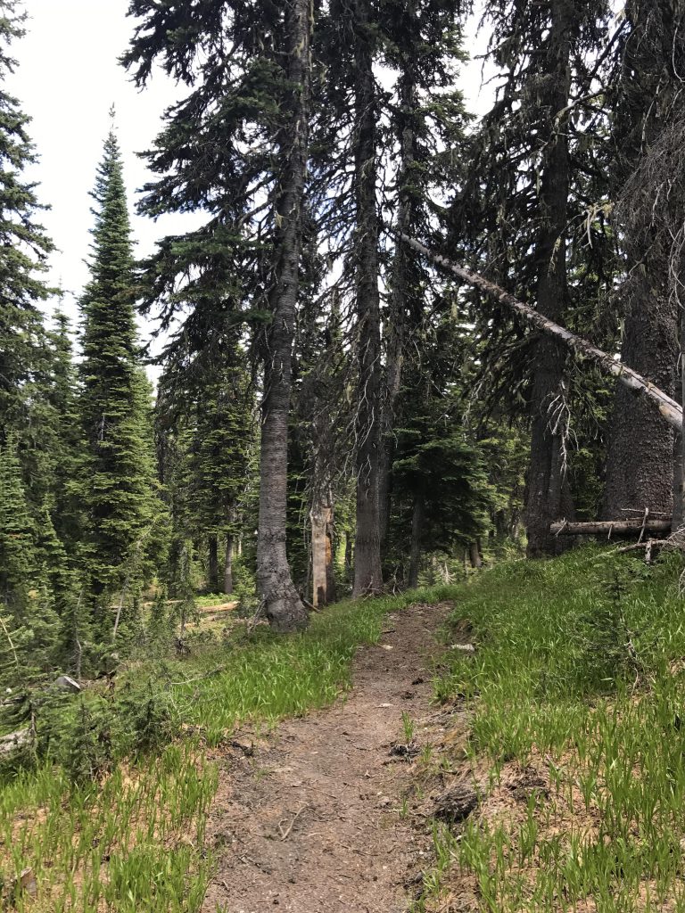
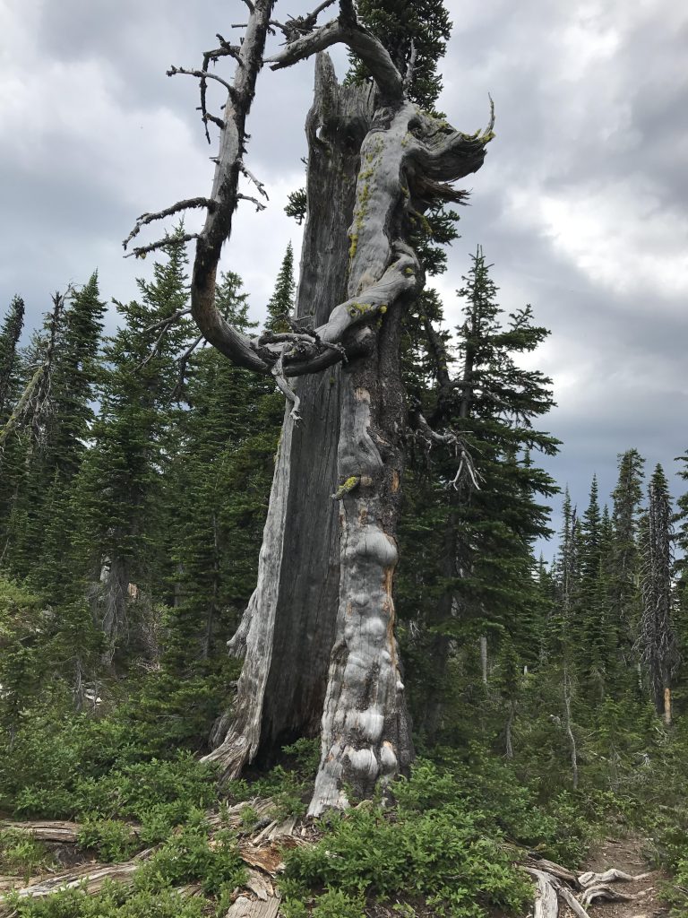
At the “official” trailhead, which likely offers plenty of parking, the trail uses the bed of an old logging road that is quite overgrown with vegetation, grasses and alders in particular. It’s not difficult to make out the trail #286, though, and only a few hundred yards into the hike the jungle yields to a nice packed-dirt single-track. The trail steadily climbs, using a few switchbacks as it approaches the ridgetop. Then it continues up along the ridge. We did some off-trail exploring to cast a glance at Jim Lake which is supposed to lie far below on the other side, but the lake proved elusive. That side of the mountain is thickly covered with fir trees.
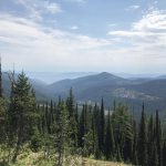
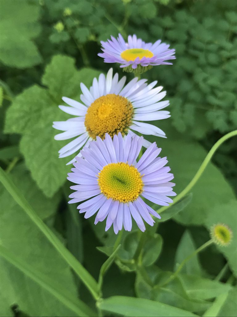
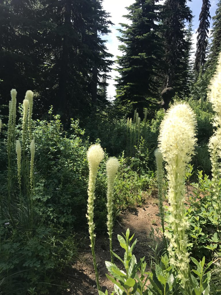
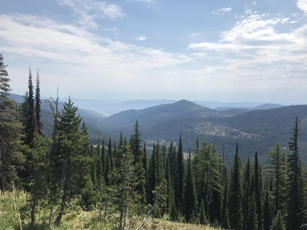
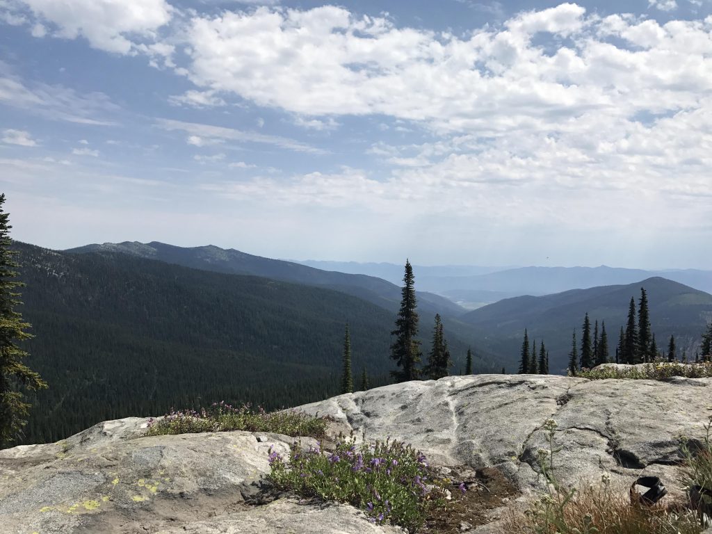
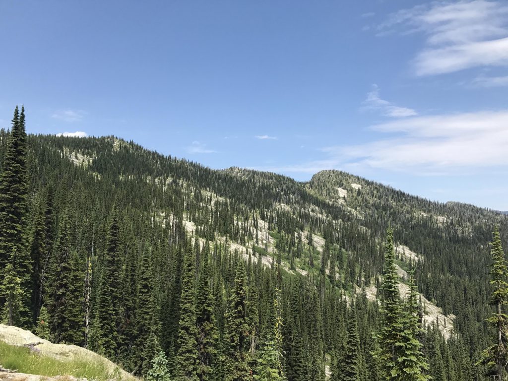
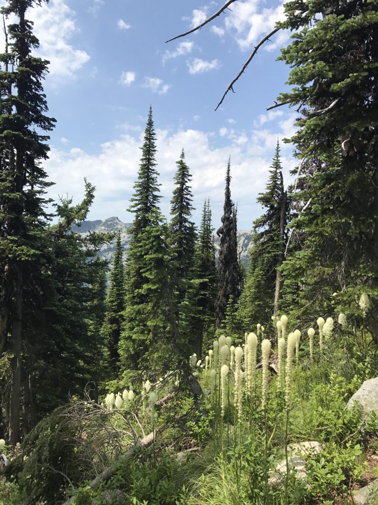
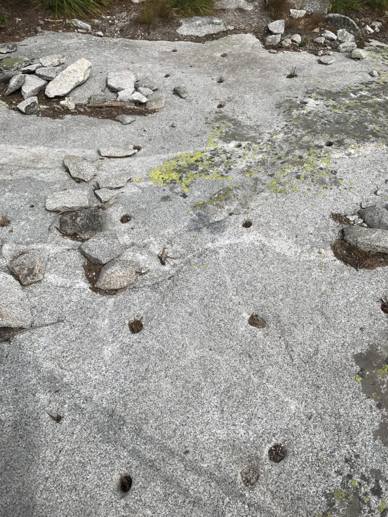
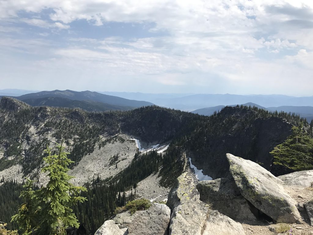
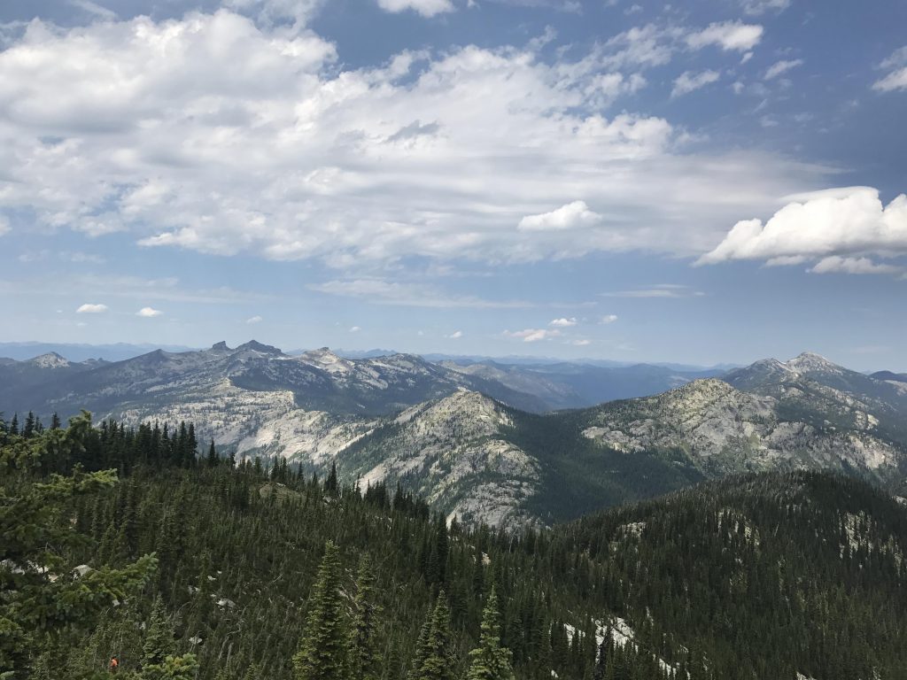
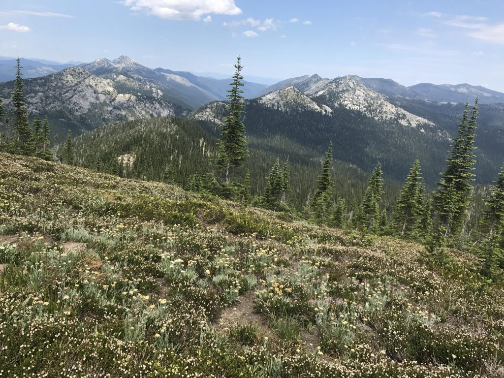
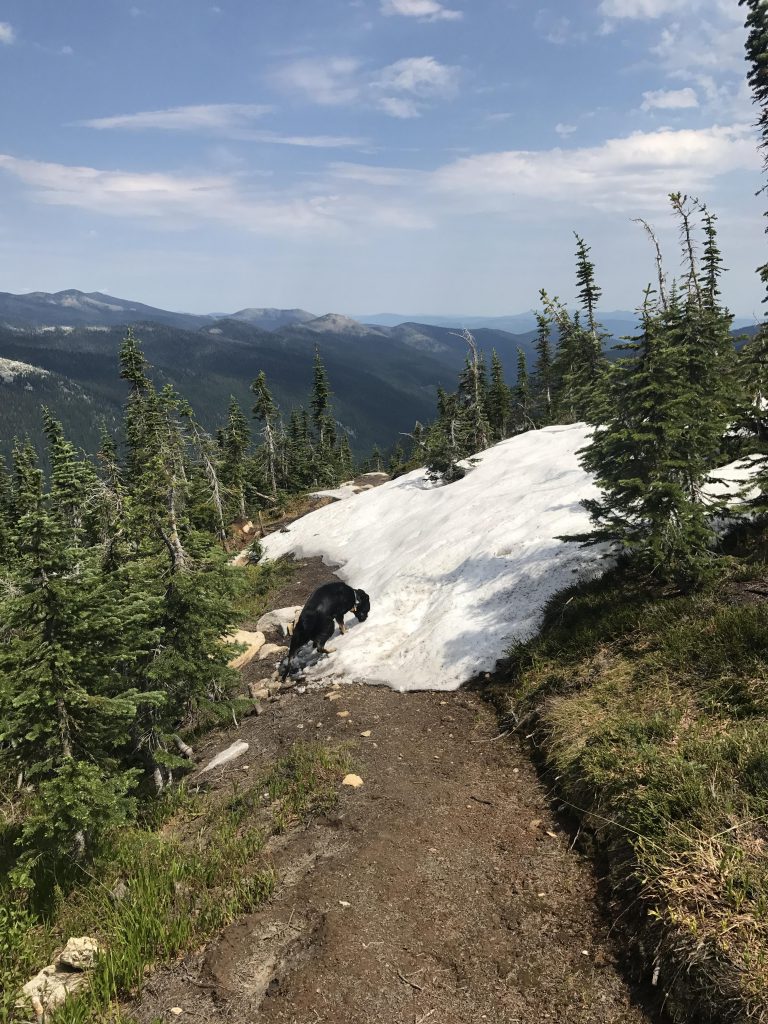
The south side of the ridge, where you’re hiking, isn’t so heavily forested and quite exposed to the sun. On the bright side, though, you’ll be treated to sweeping views very shortly into the hike. The higher you climb, the more the terrain switches to extensive rock slabs, dotted with patches of beargrass, and a dense carpet of huckleberries fills in any remaining crevices.
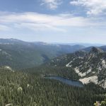
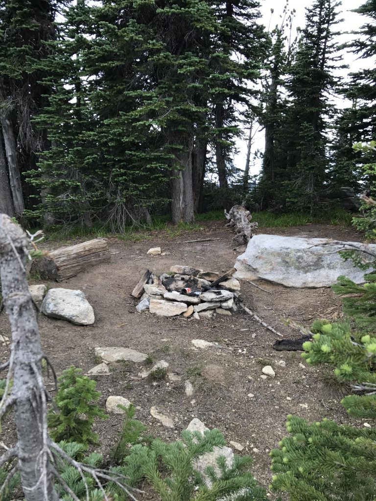
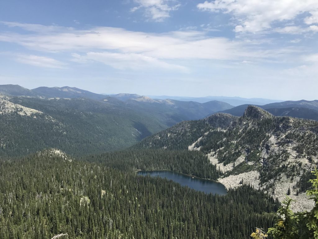
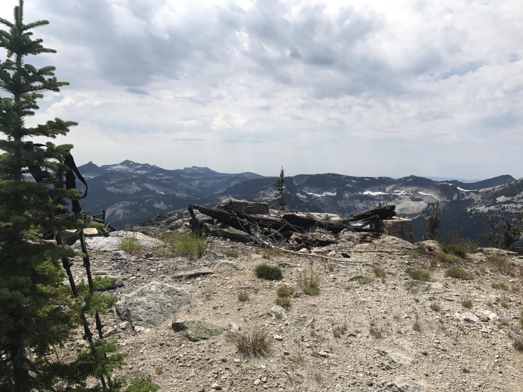
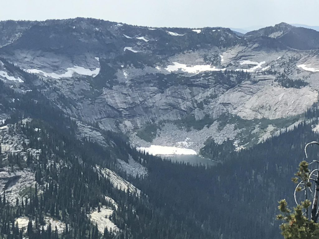
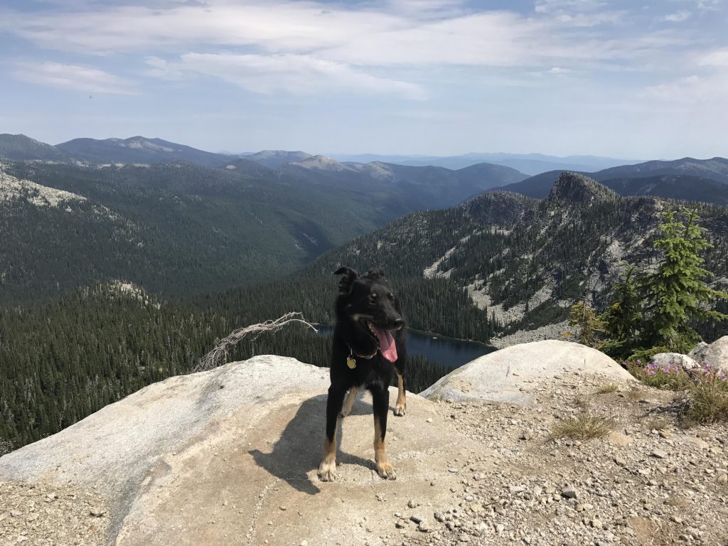
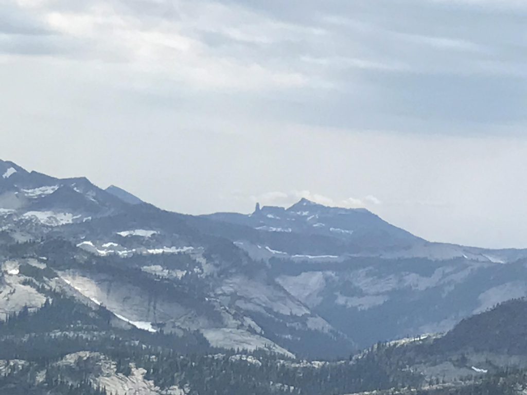
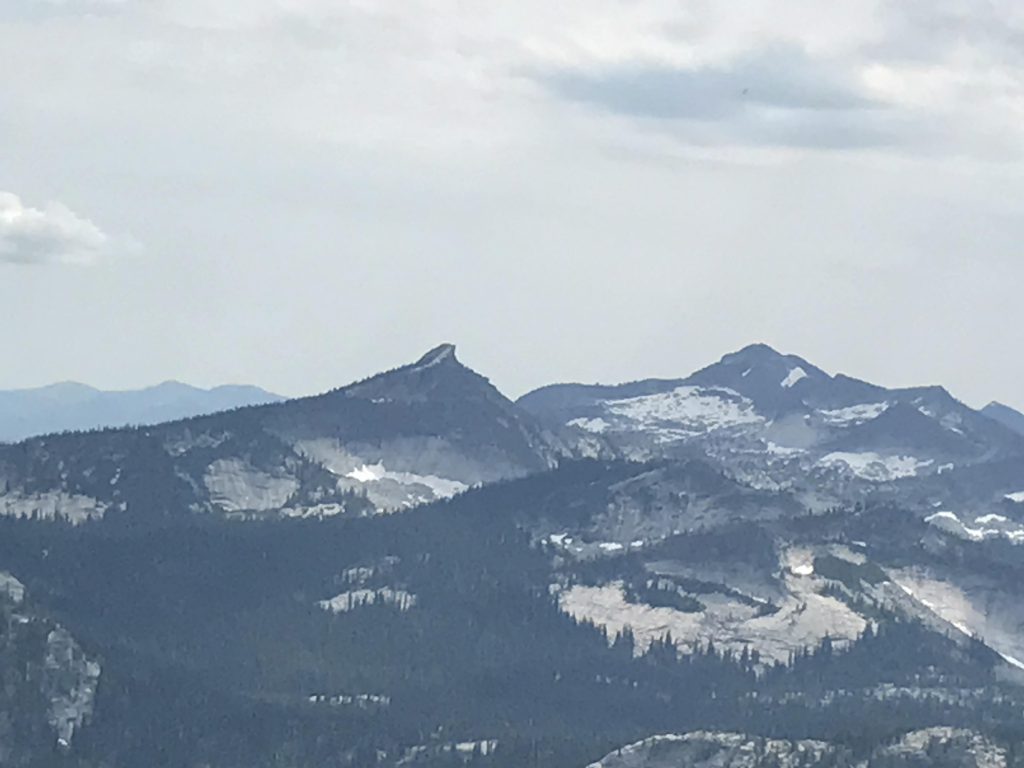
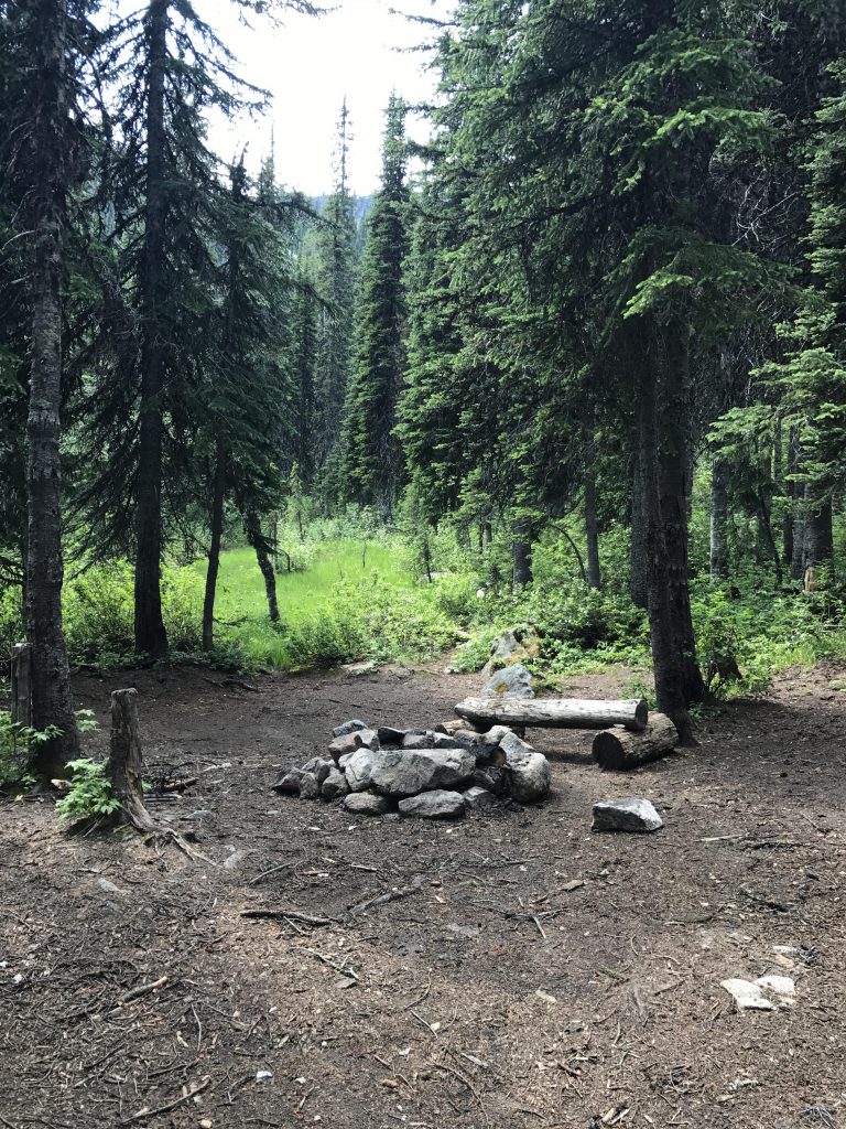
At the saddle just below Myrtle Peak you’ll find a campsite (dry) complete with firering. The trail continues down the other side, but before you do that continue uphill to the right (east) 50 or 60 yards to the peak and the remains of the fire lookout tower. The view here is truly grandiose. Immediately below to the east shimmers Myrtle Lake in the afternoon light, the lake to the west is Kent Lake. Further out, to the southwest, is the distinct silhuette of Harrison Peak and even further away Chimney Rock and Mount Rothaan. To the north lies the Lion Head and northeast you can see Long Canyon and the Ball Creek valley (Ball Creek is the outlet of Myrtle Lake).
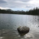
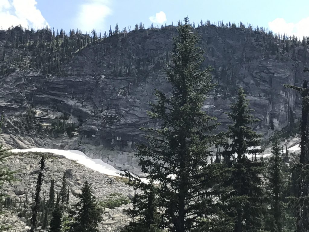
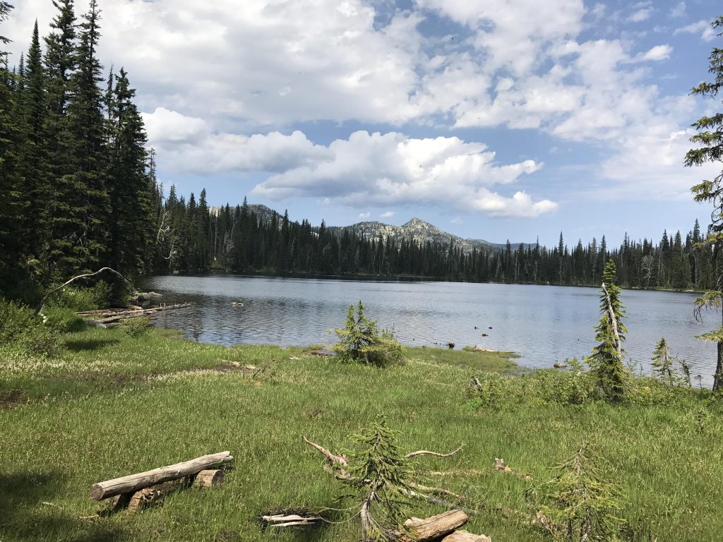
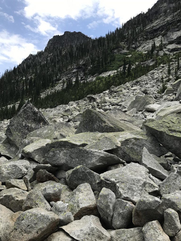
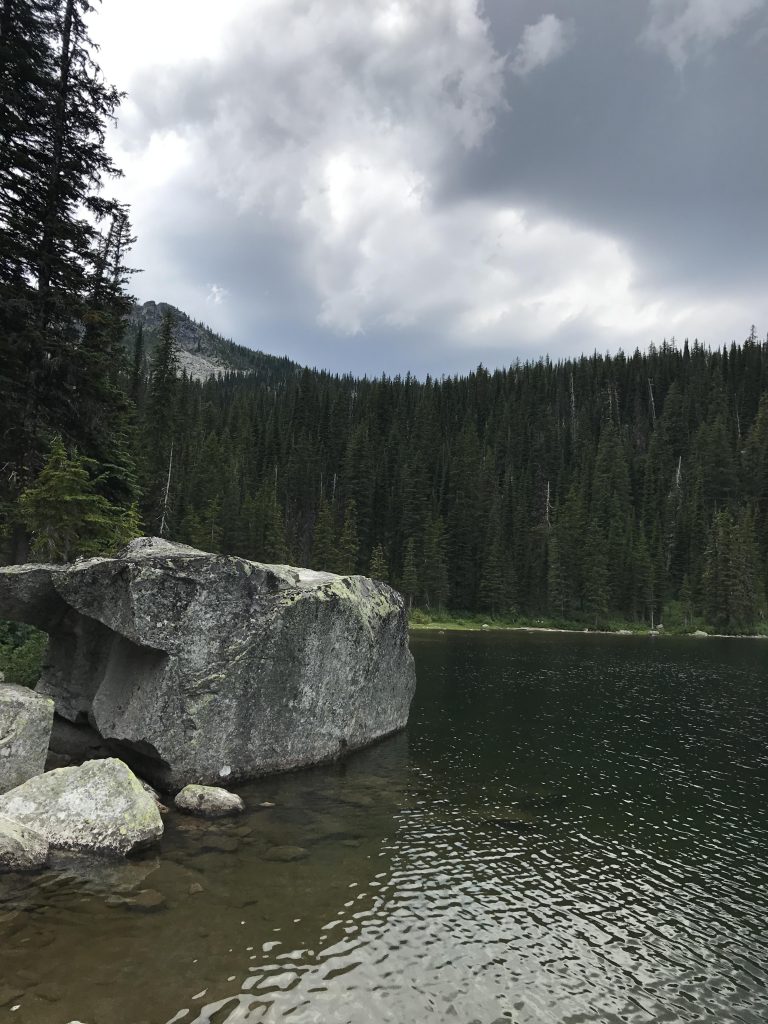
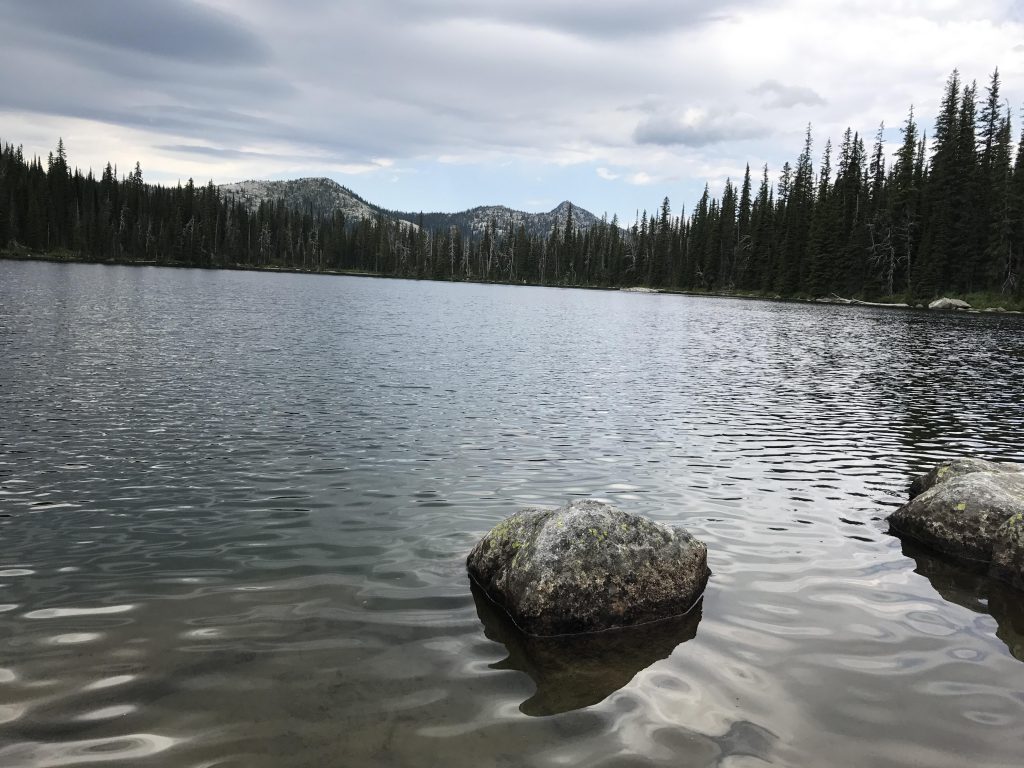
The trail continues down the northeast side of Myrtle Peak, crossing a few remaining snow patches and talus slopes as it switchbacks down to the Lake in less than 2 miles. There are excellent campsites in the woods and what looks like an exceedingly nice campsite on the lakeshore. The latter was very swampy and may have to wait until late August. That, plus the mosquitoes are ferocious. A third option is near the rockslide on the east shore of the lake, but this offers room for just one smallish tent. The swimming is nice and refreshing, and, again, the area of the rock slide works best as the “lawn” portion of the shore is so shallow you have to wade halfway through the lake to get past knee depth. At the rockslide the ground drops off almost immediately.
Alternate Routes
Things to Consider
Not so great
Excellent post!
Thanks!