- Selkirk Mountains
- At Green Bay trailhead and possibly the picnic area at the upper trailhead
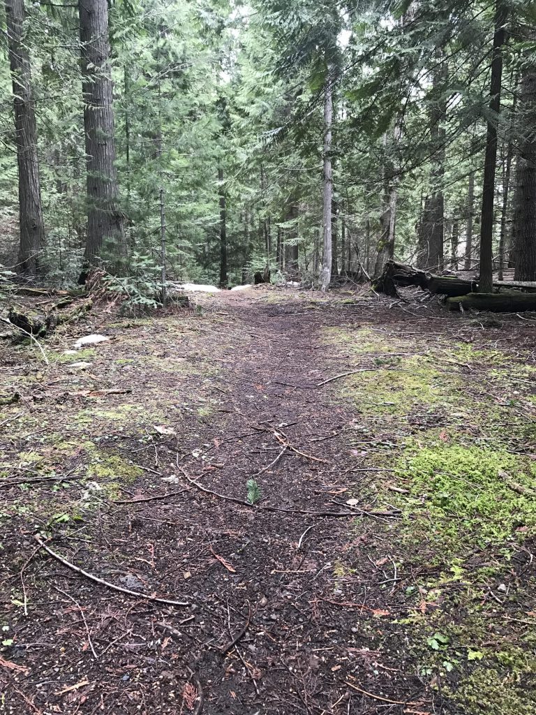
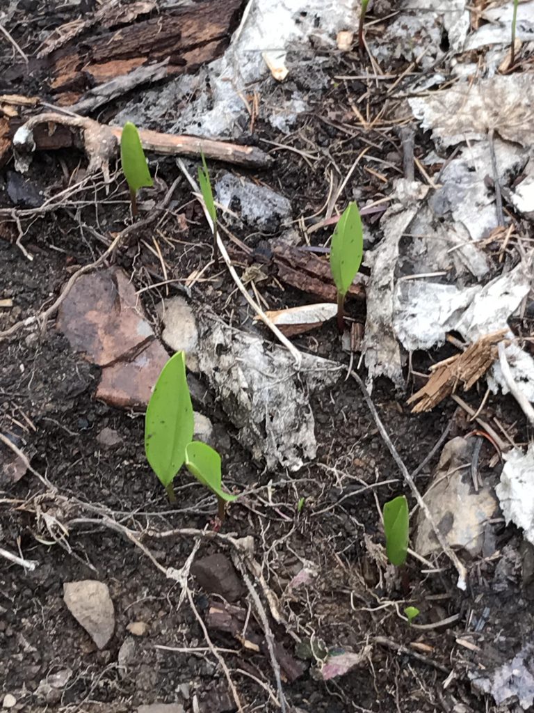
- Excellent. Had to climb only a few trees, which was to be expected this early in the season. Kudos to the Pend Oreille Pedalers for taking good care of this beauty!
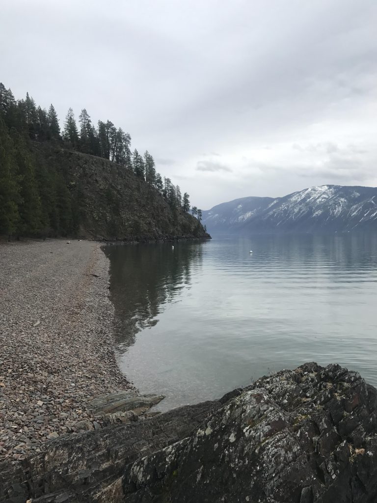
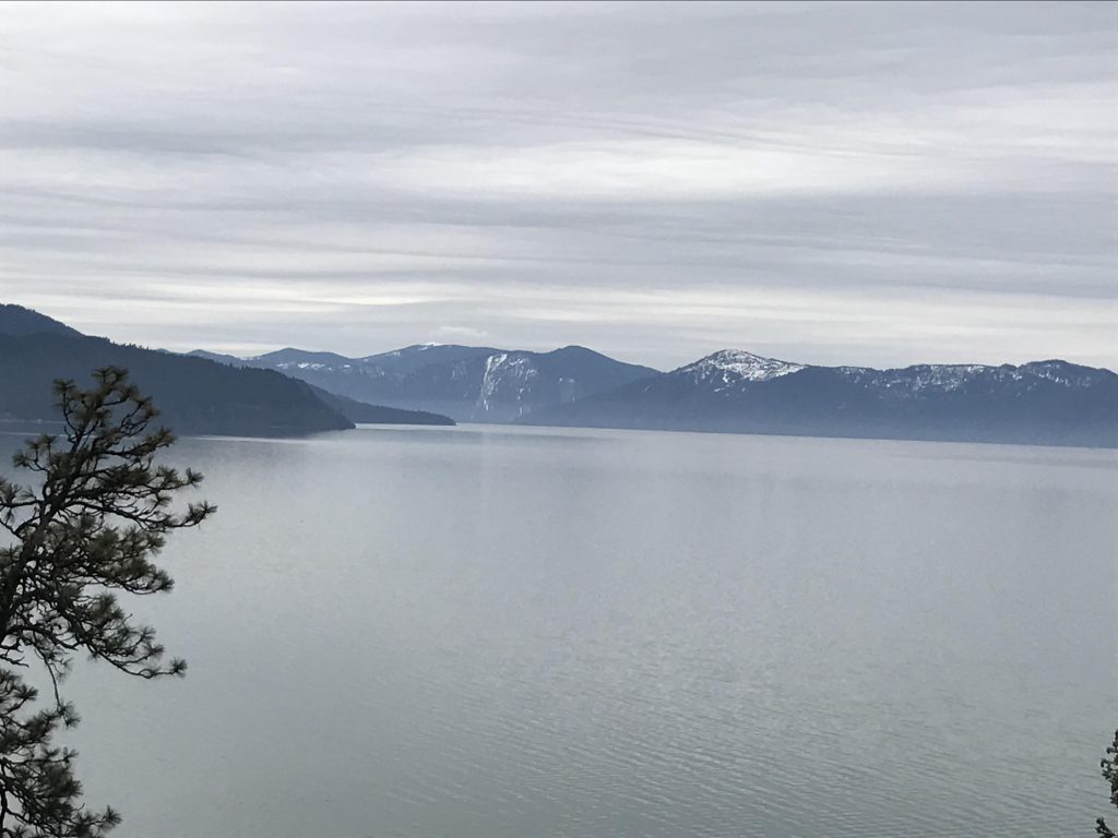
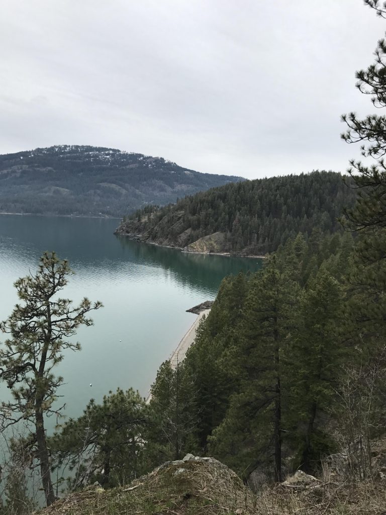
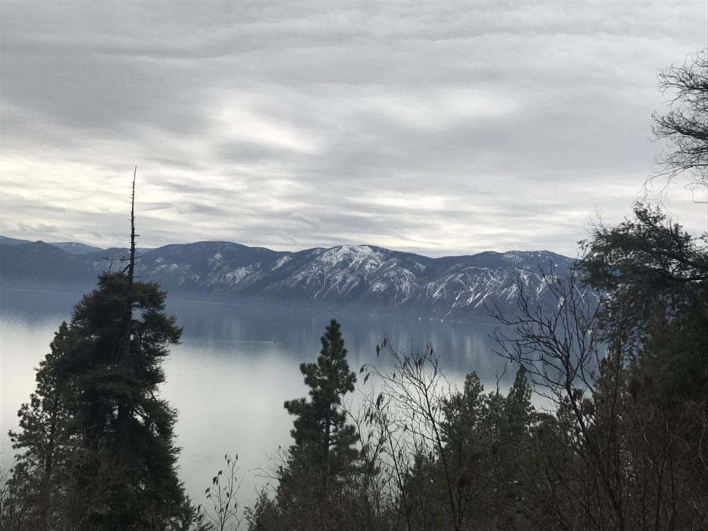
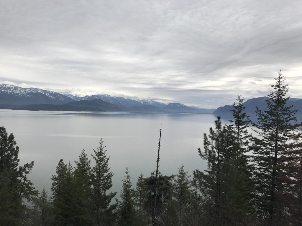
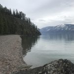
Before you start out on this hike make sure to head down to the lovely beach with views of the Blacktail Mountains, the Monarch Ridge, Roundtop, and, if the weather cooperates, Scotchman Peak.
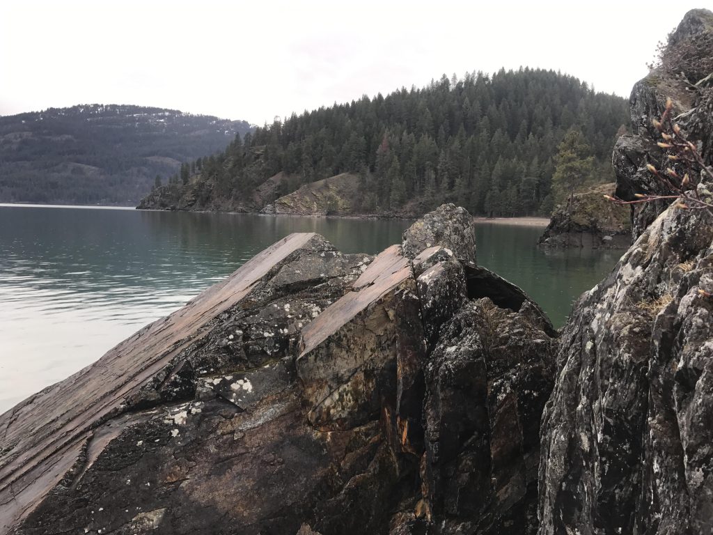
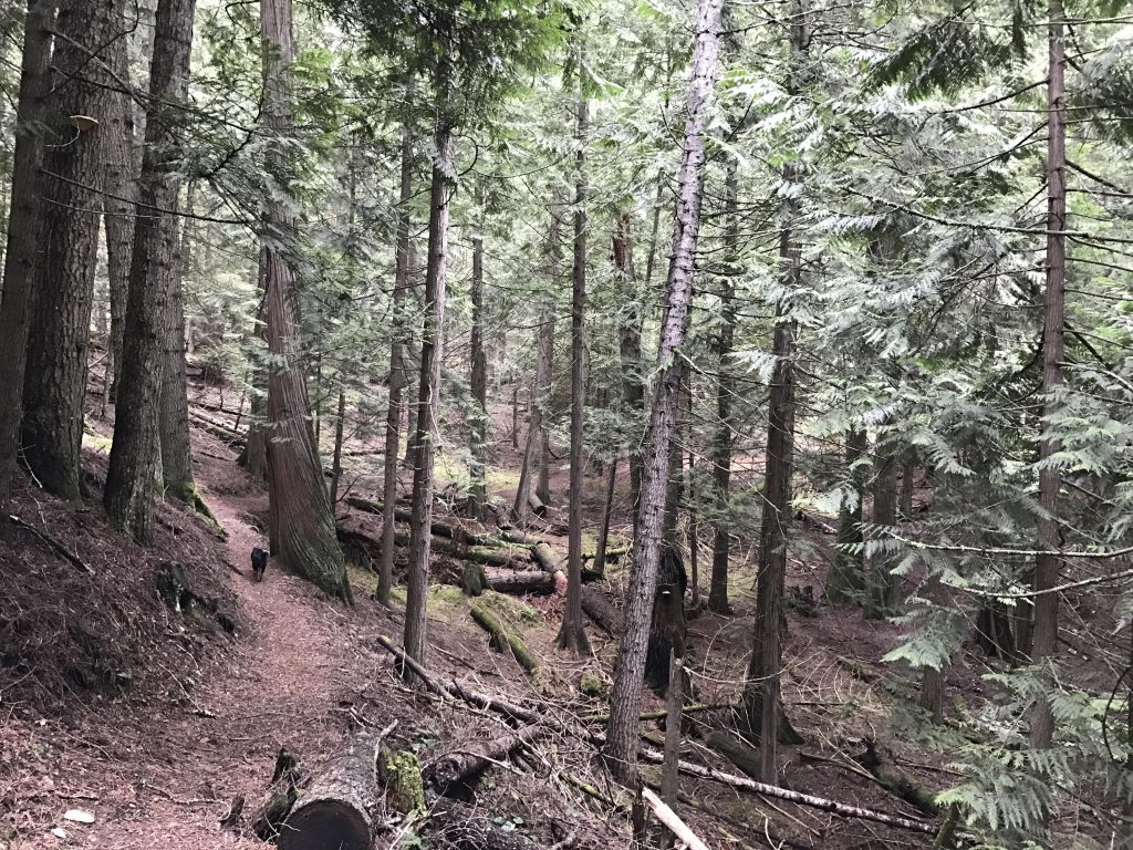
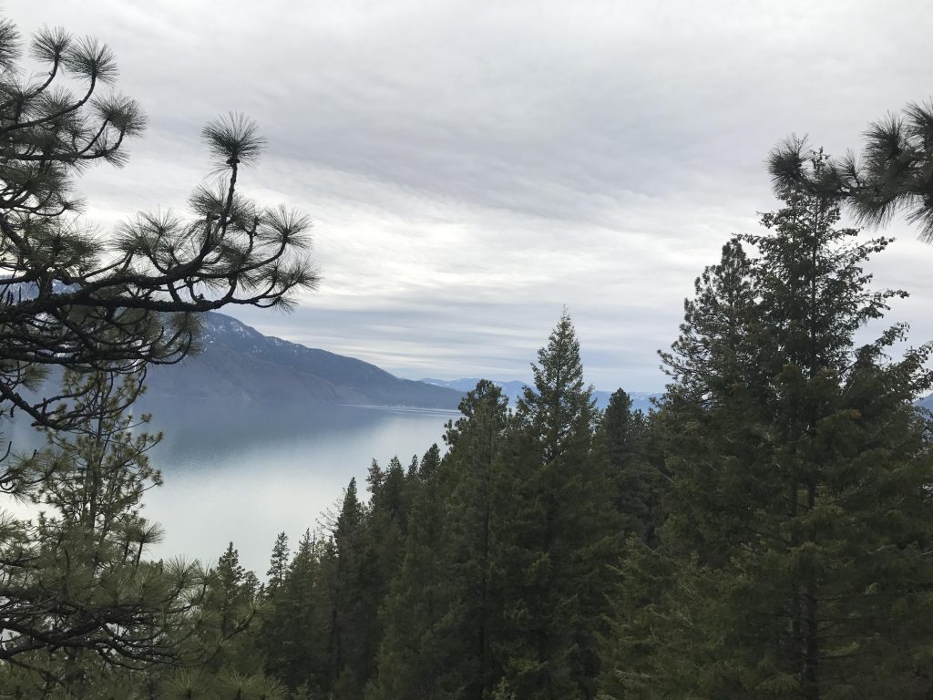
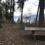
Once you’ve had your fill, take the single-track at the rear of the day-use parking lot (FT #82), which immediately climbs the hillside in a couple of sweeping switchbacks. Filtered views of Lake Pend Oreille are constantly possible, but as the trail contours along the mountain it really opens up and at Long Point you’ll be treated to some marvelous vistas. The path continues in parallel to the Lake, moving in and out of cooling groves of Western Red Cedar. You’ll get to two forks; at the first one stay right (unless you want to do the loop clockwise) and at the second it’s your choice as the trail reunites shortly after (left is quicker). The trail ascends gradually and opens up once again when you’re past Mineral Point, a place that comes equipped with a bench and a plaque commemorating Jake Jacobson (a forest service employee), and absolutely fantastic vistas.
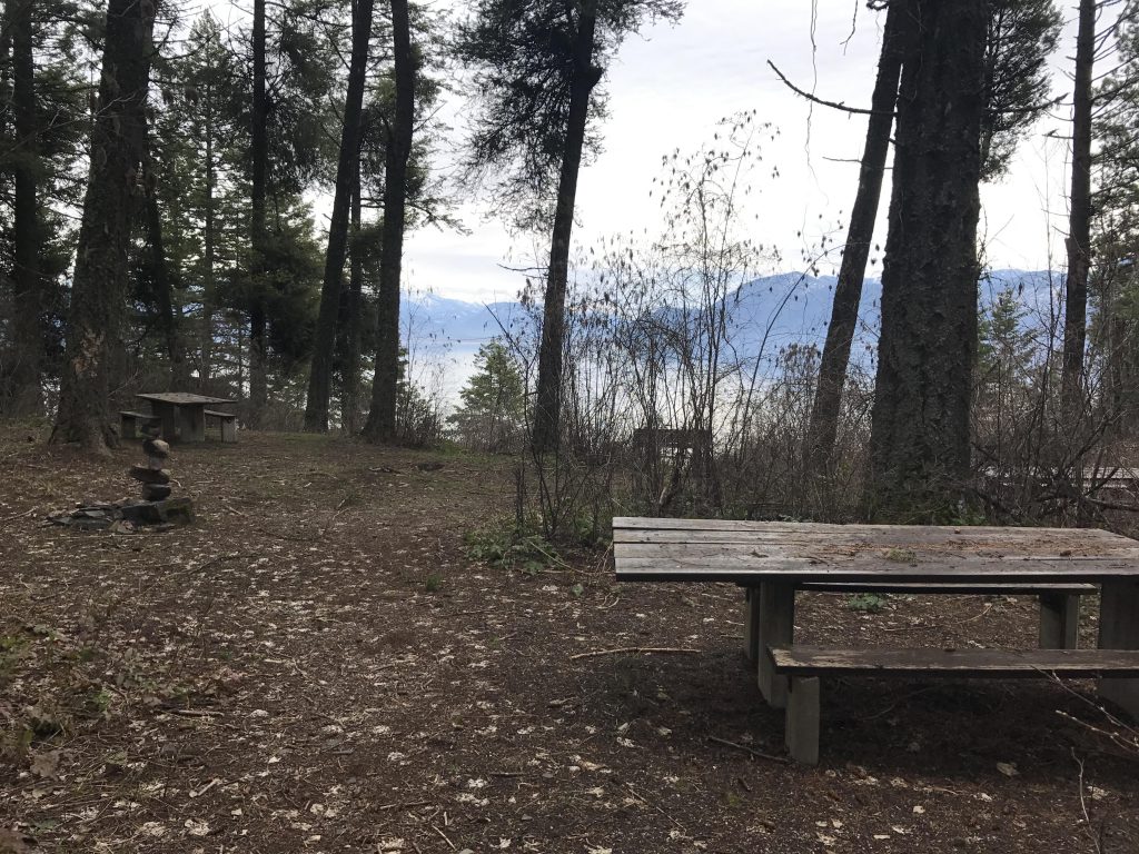
The trail then continues for a short bit, slightly uphill, and meets up with the second trailhead, off FR #532A. Bear right, or make use of the picnic area (there are tables and a fire ring, plus a pit toilet a short way up the spur trail on FR 532A). The trail then moves through the forest, mostly flattish, roughly alongside FR 532A. This continues up to the 3.5-mile mark, at which point it will shift northwest.
However, this main loop entirely bypasses Lost Lake, which is a smaller loop within the larger one. There are 2 access points, east and west. To hop onto the eastern access trail, switch to FR 532A or 532 a little past the 2-mile mark (there are 2 places where the trail gets really close to those roads). Then follow those roads in a northwesterly direction until they converge, maybe a couple hundred yards. The Lost Lake Loop starts on the opposite side of the road, marked by a small cairn. You may have to look for a bit, it’s not very obvious. It’s a single-track dropping over the embankment into the woods that reaches Lost Lake shortly. To complete the loop, once you’re past the lake, turn right where the signs point left (left leads to the western access point).
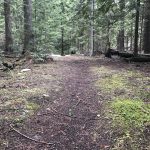
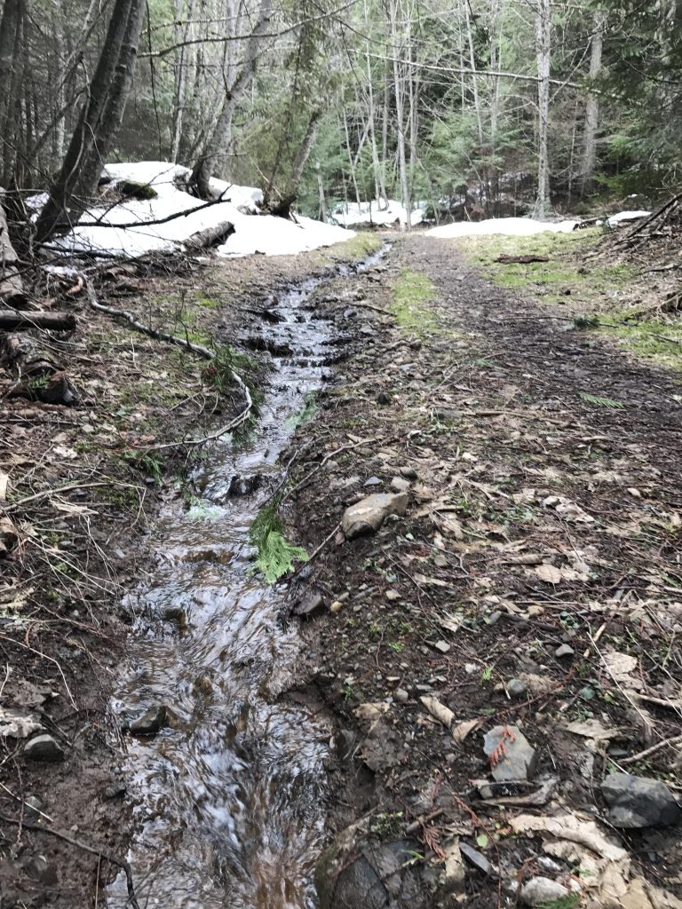
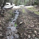
Back on the main trail, continue on. When the trail veers away from Lake Pend Oreille it widens, using an old logging road for some time. The trail weaves through the woods, alongside a number of pretty ponds and eventually spills out onto FR 532. Cross the road and pick up the single-track on the other side, now named FT #81. That trail heads south through the forest, across a brook and comes to an intersection. You can go straight to access the Lost Lake Loop (ie, this is the western access). Otherwise, turn right onto the unsigned trail.
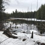
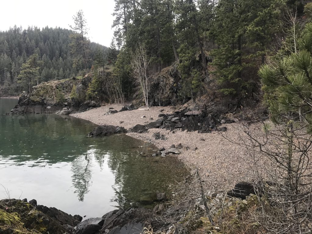
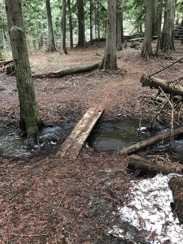
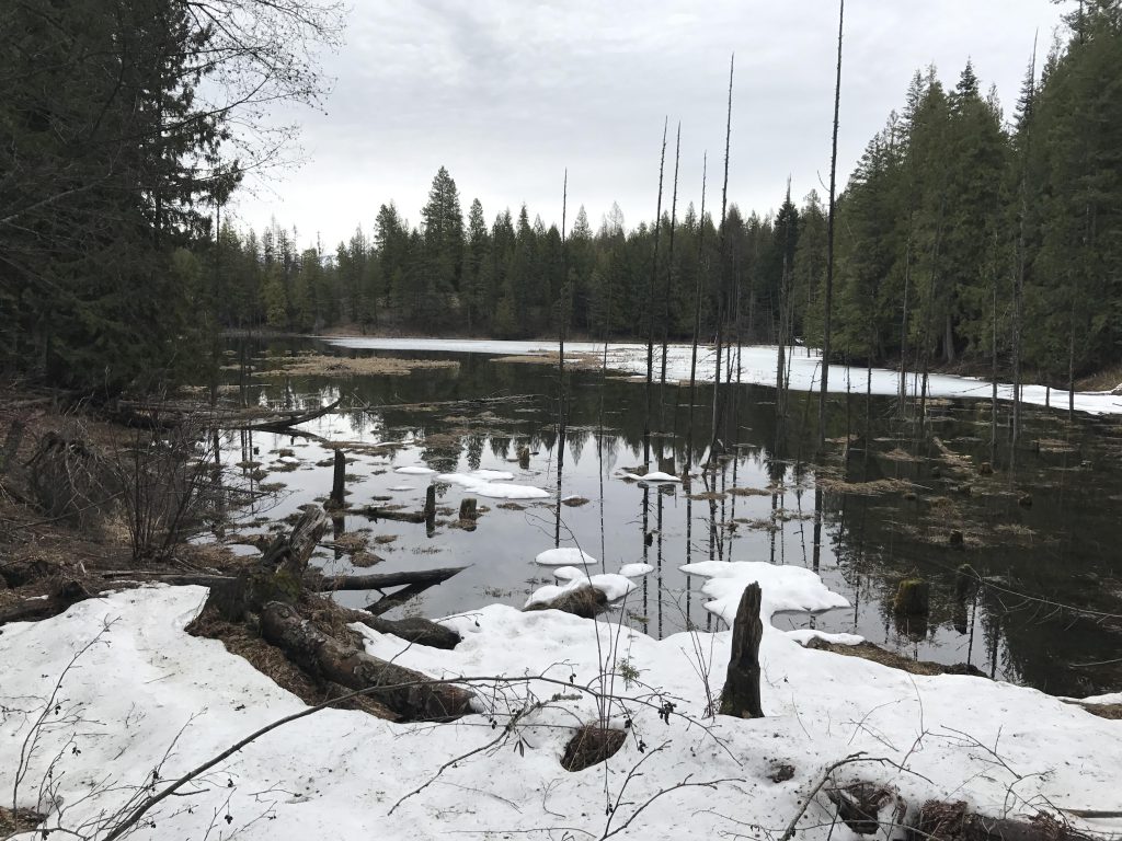
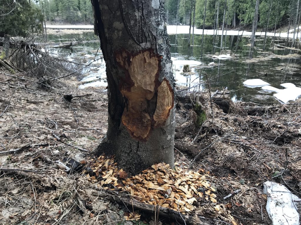
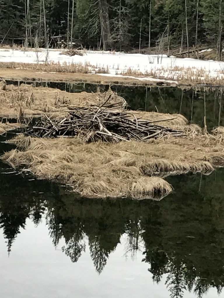
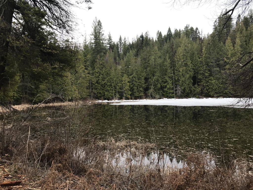
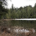
This trail curls around, crosses more brooks, meanders through marshlands, and soon widens into an old logging road as it approaches Mud Lake. Contrary to its name, this lake is very pretty (perhaps everything will be dried up by August?). It was full of mallards, and at the southern shore you’ll find convenient benches to watch the nearby beaver lodge.
After the lake, the trail continues on an old logging road to another intersection with FR 532, just after the 6-mile mark. The single-track continues on the far side, winding through a jumble of rotting trees and downhill back to trail #82. Take a right and you’ll be at the trailhead in less than 2 miles.
We had missed the Lost Lake loop and so had to backtrack and do that loop. Doing the Lost Lake loop in the right sequence, or skipping it altogether, will probably shave 1 or 2 miles off the total mileage.
Alternate Routes
- To shorten the trail skip the northern section altogether and cut across to Lost Lake and then continue on instead doing the Lost Lake loop. This will get you to the intersection to Mud Lake and you can complete the main loop from there.
- The Lost Lake loop is perhaps a mile. To do just that loop drive to the intersection of 532 and 532A. Or park at the end of 532A and hop onto #82 at the picnic site.
Things to Consider
Not so great