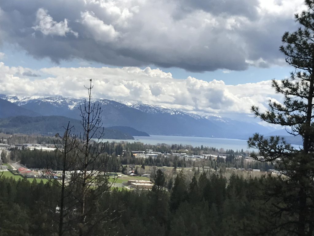
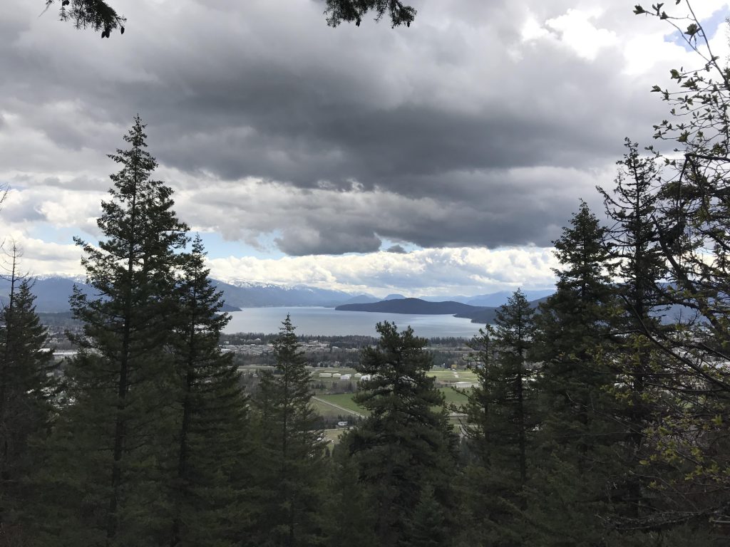
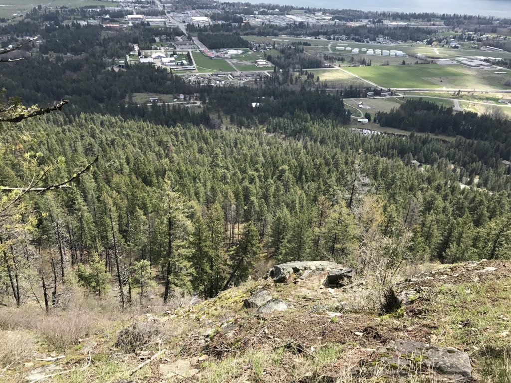
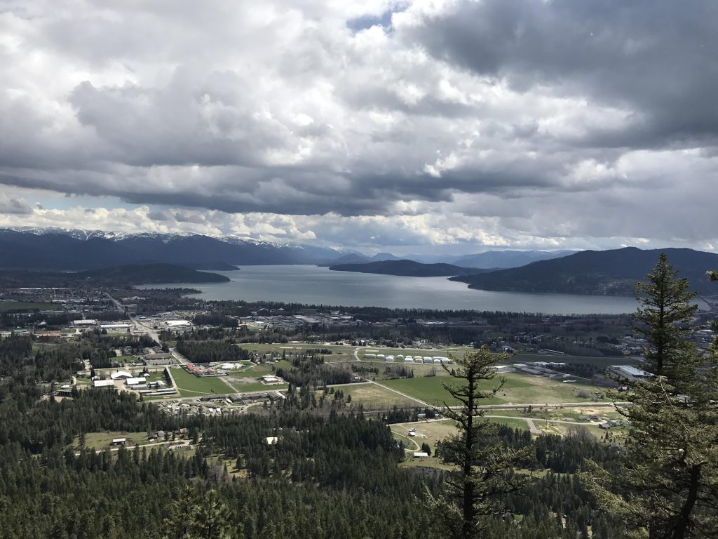
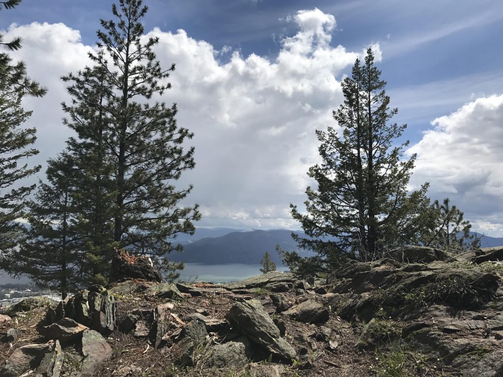
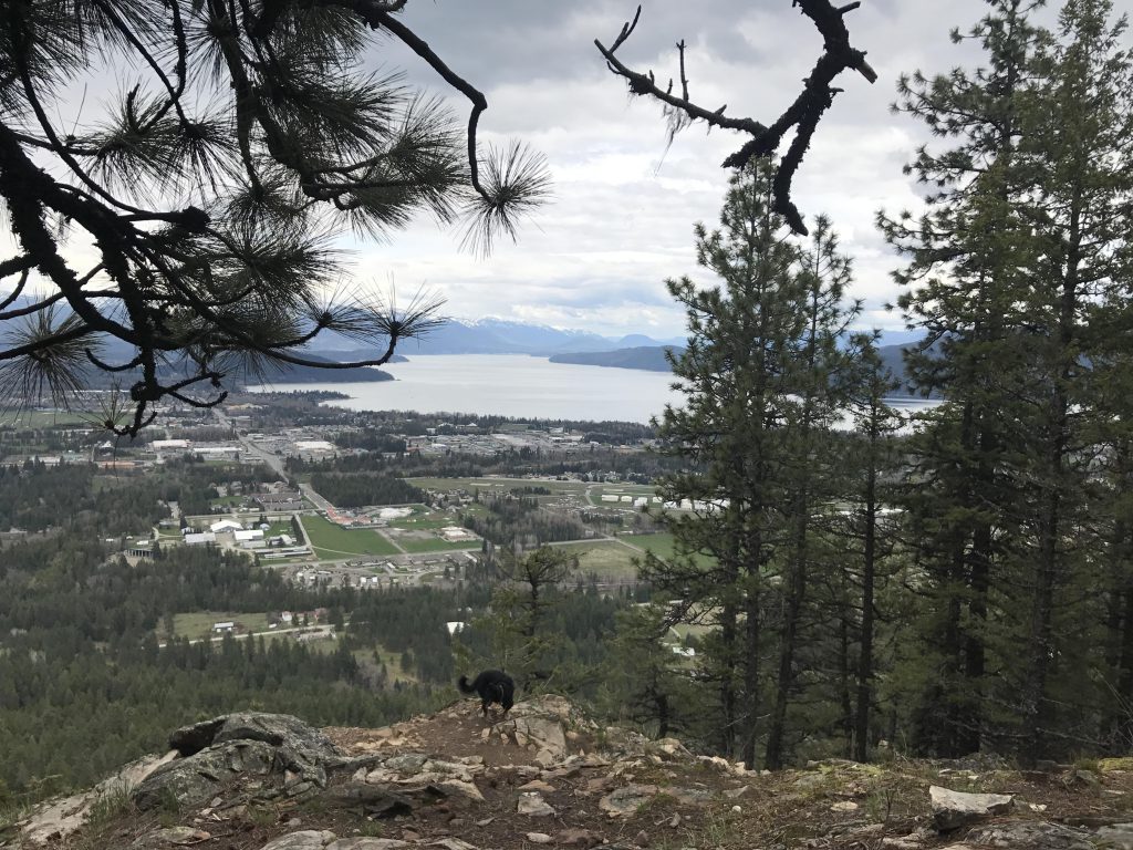
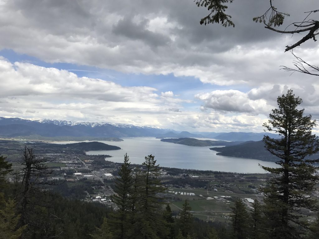
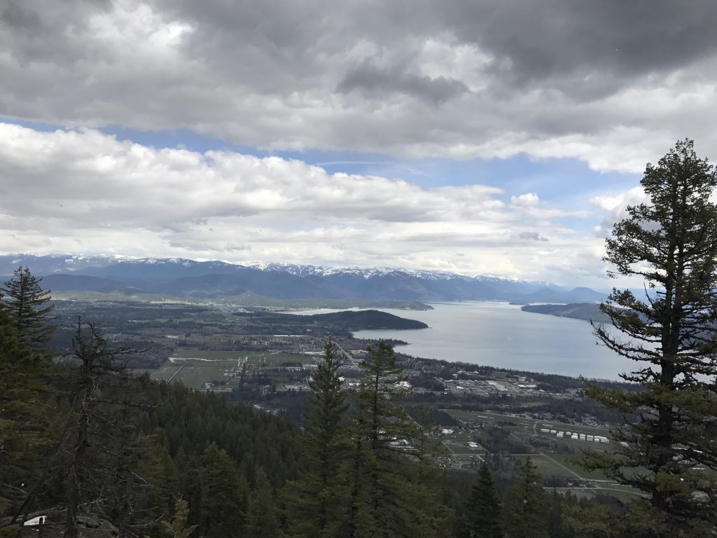
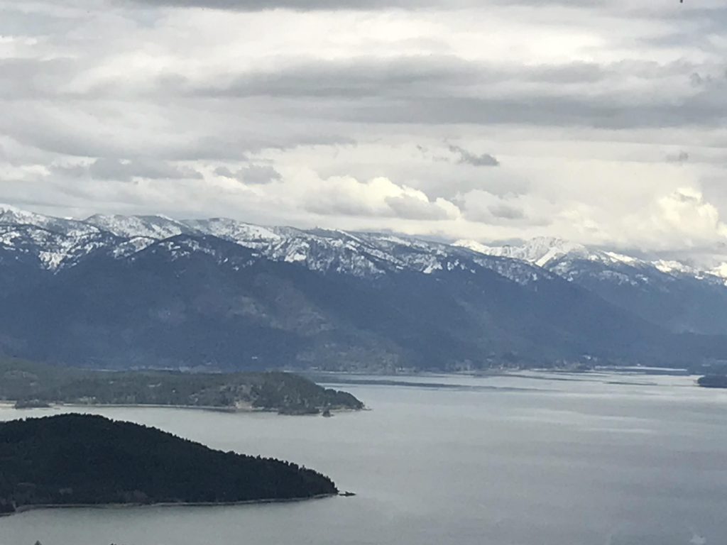
The Mickinnick trail climbs the southeastern flank of Bald Mountain just north of Sandpoint. The name is a distillate of Mick and Nicky Pleass, who donated the mountainside to the forest service to create this trail, and the Kinnickinnick plant, a low-growing native evergreen. The trail consists of a series of switchbacks that ascends the mountainside in just over three miles, with about 2,000 feet of total elevation gain. It terminates at a large rocky knoll, offering incredible views of Lake Pend Oreille, the Cabinet Mountains, and prominent Gold Hill to the south.
Location
Selkirk Mountains
Rating
2.9 out of 5
Difficulty
Moderate (mostly uphill)
Distance
6.4 miles
Duration
3:55 hours moving time (Hiking)
Elevation Gain
2,021 feet
High Point
4,321 feet (Benches)
Low Point
2,211 feet (Trailhead)
Features
Mountain
Grove
Meadow
Outing Type
Daytrip
Trail Type
Out-and-back
Trailbed
Packed dirt, gravel, rock slab, loose rocks
Trail#
Water
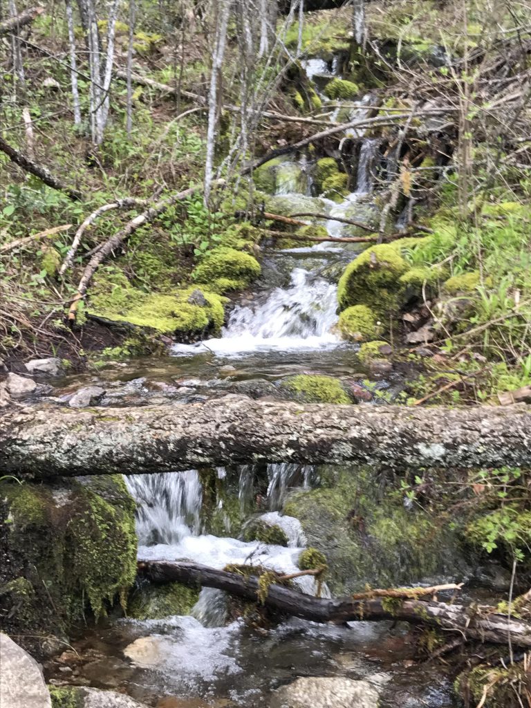
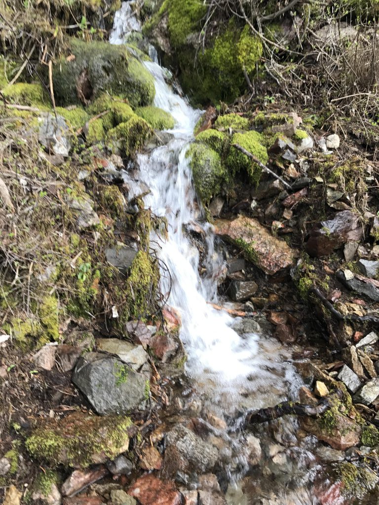
Drinking water at trailhead; seasonal brook criss-crossed by trail most of the way up
Camping
None. There is a pit toilet at the trailhead.
Conditions
Excellent. Trail is closed to motorized vehicles.
Administration
Kaniksu National Forest
Status
Unprotected
Maps
USGS
Sandpoint
Fees & Permits
None required
()
Open To
Hikers
Dogs
Horses
Mountain Bikers
(Plenty of squirrels and curious chipmunks)
Directions
From US-95 take the Schweitzer Cutoff Road exit (about 2.5 miles north of Sandpoint) and head west. After half a mile turn left onto N Boyer Avenue (there are 2 roads by that name; you want the second one where Schweitzer Cutoff Road dead-ends). In a quarter mile the road dead-ends at the municipal airport; take a right onto Woodland Drive. Follow this for a mile, across railroad tracks and a sharp right turn. The trailhead and parking lot will be on your left.
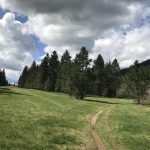
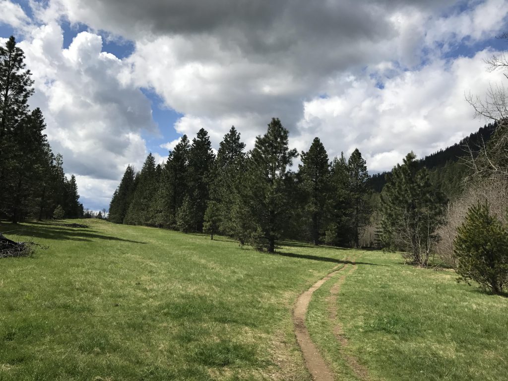
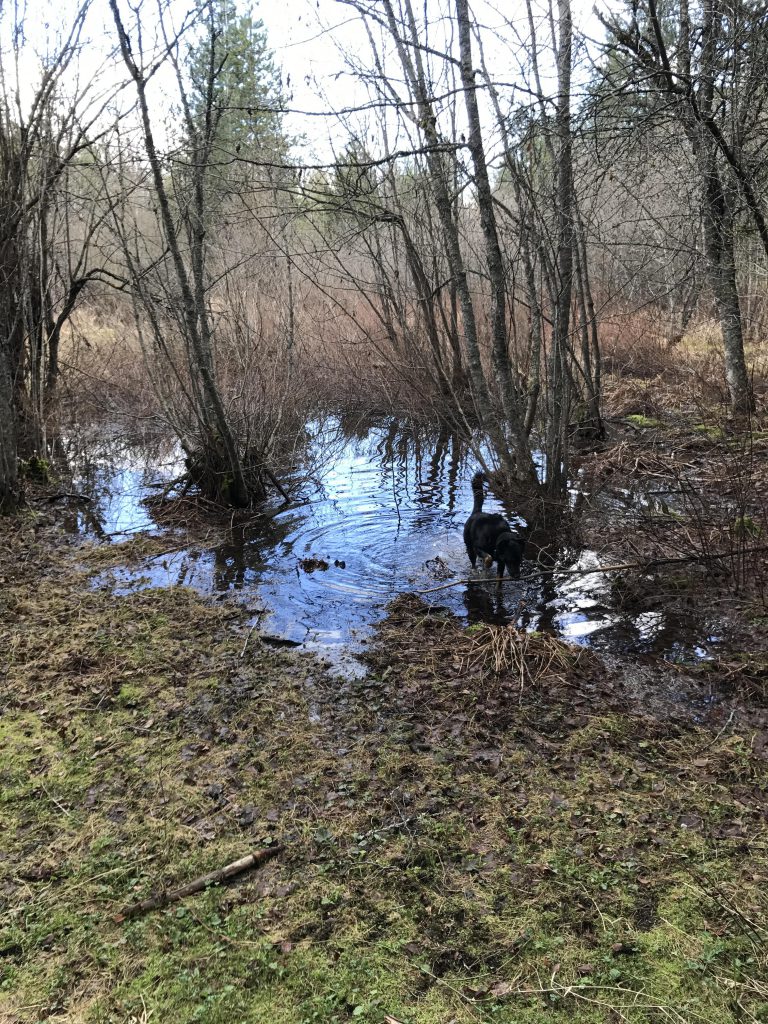
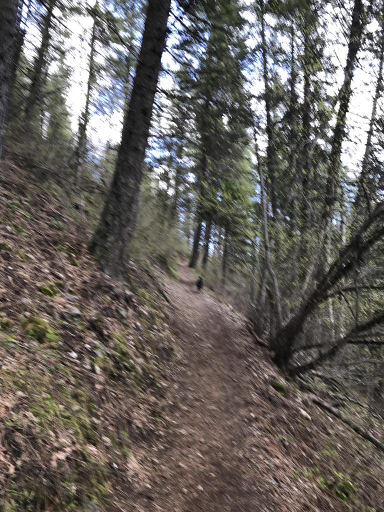
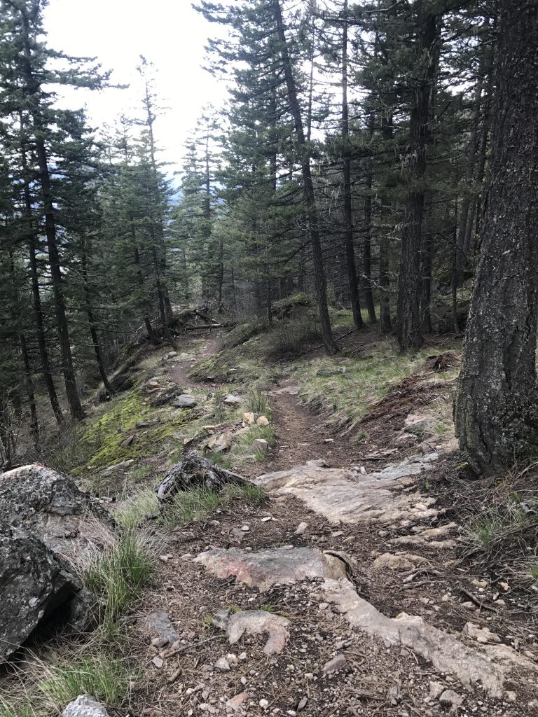
The trail starts at the rear of the parking lot, a double-track leading across a sprawling meadow to the base of the mountain. There are some wetlands here, perhaps seasonal, but the trail has been shored up and you won’t get your feet wet. Soon you’ll get to a fence, with an opening for the trail, and then the trail veers off to the right and uphill and it’s essentially uphill the rest of the way.
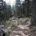
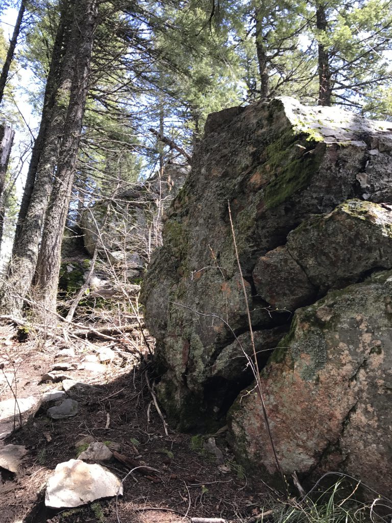
The trail ascends the hill in nice sweeping switchbacks (thankfully not as many as on Gold Hill!) and the going is fairly easy. Early on the trail is packed dirt, but higher up this changes to gravel, loose rocks and rock slabs (plan your footwear accordingly!).
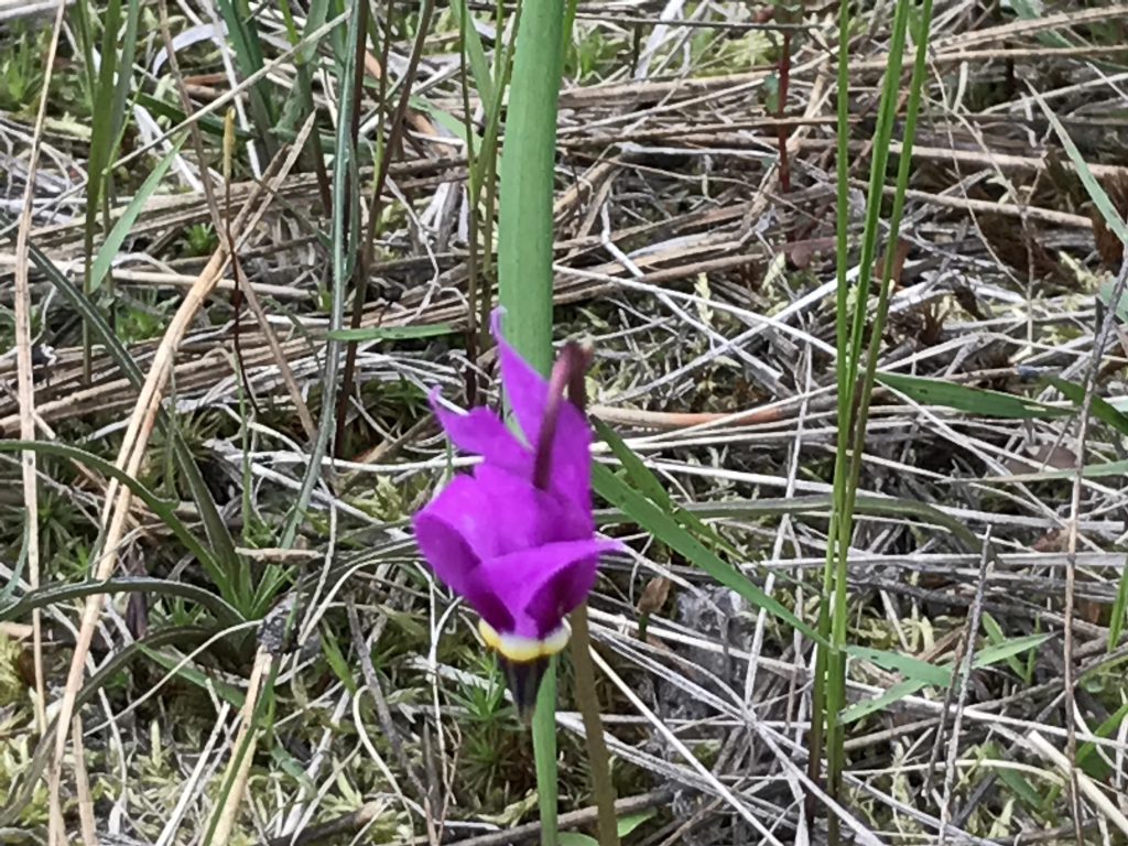
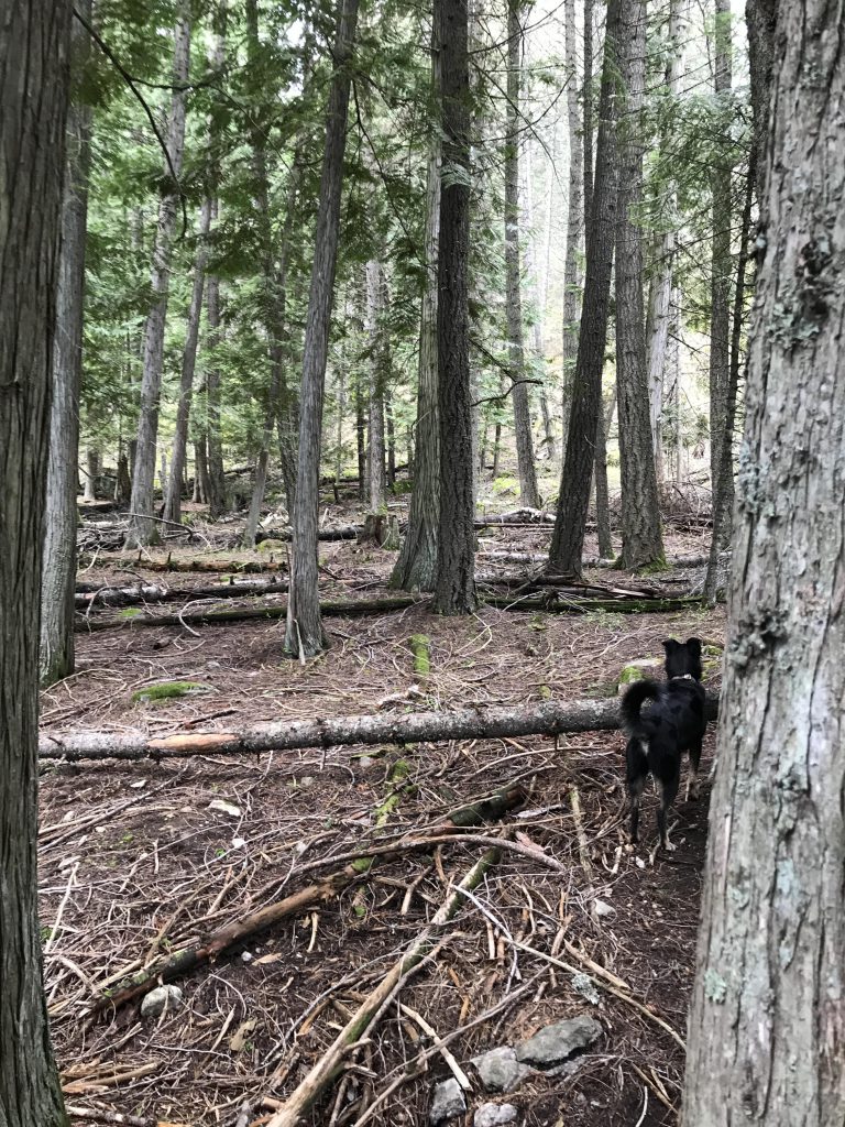
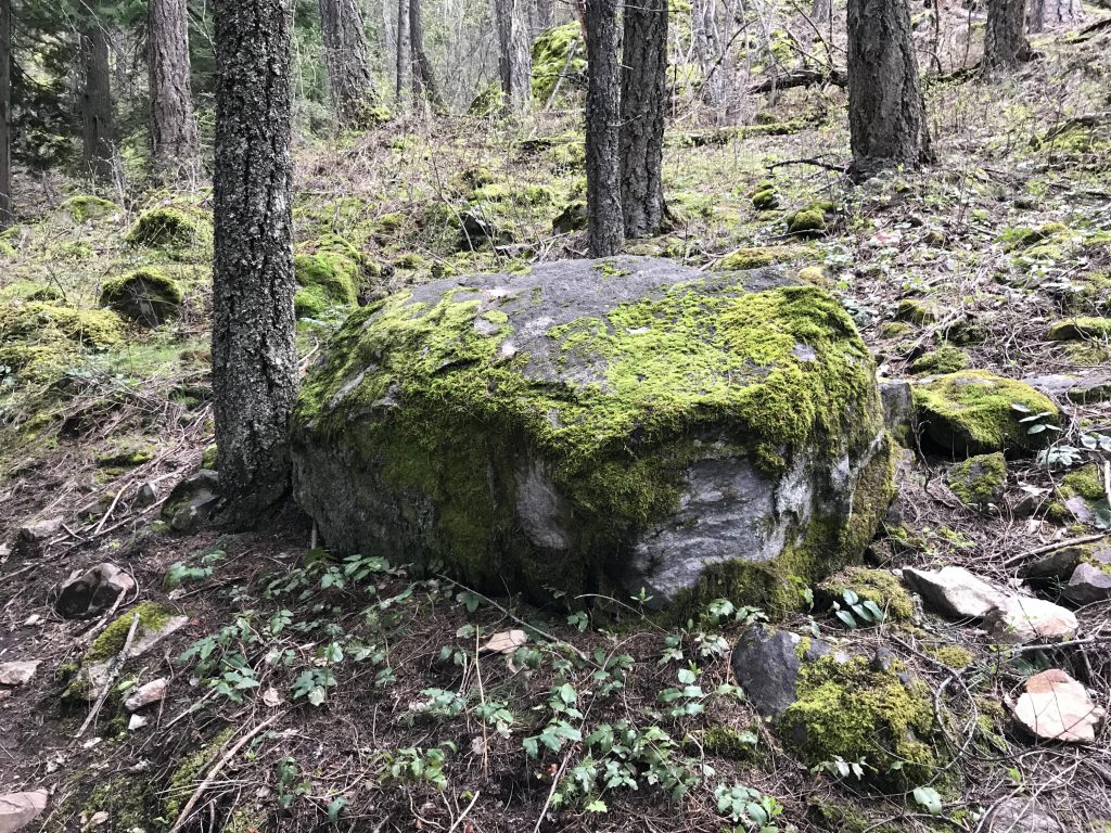
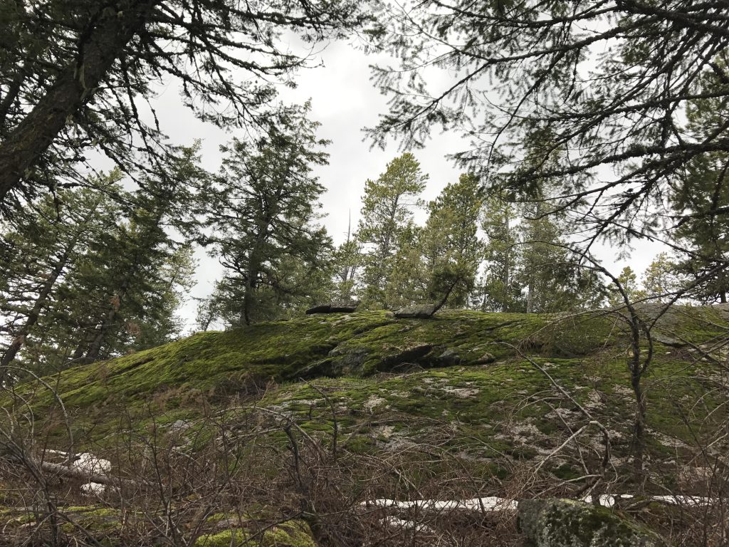
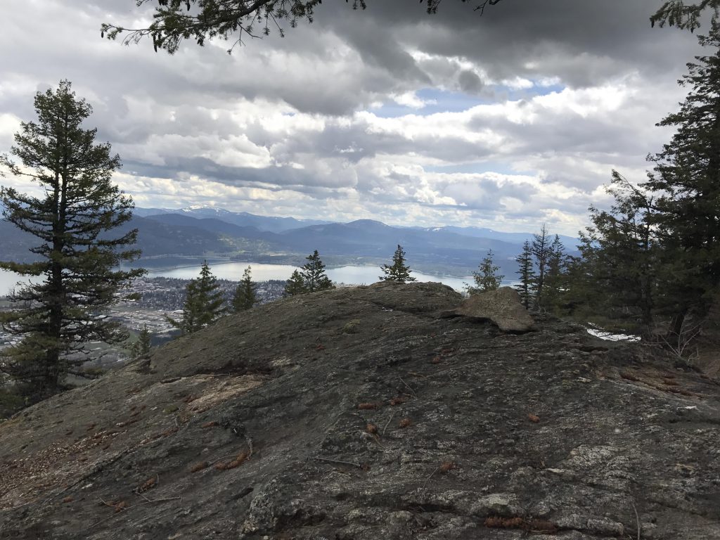
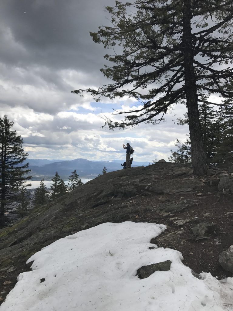
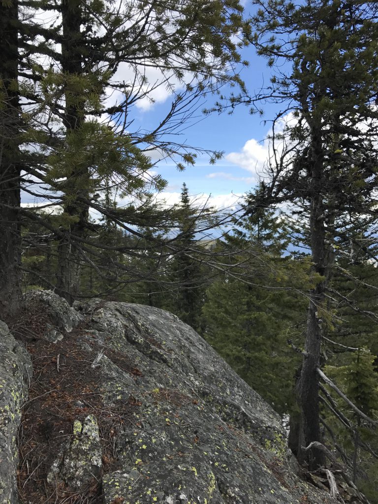
In the lower elevations you’ll pass through cooling groves of Western red cedar, but the higher you climb, the more the forest turns to fir and pine. The views are fairly good throughout the ascent, though a bit filtered at times. As you get higher up, the path meanders through jumbles of rock outcroppings, with many completely covered with moss. At other times you’ll encounter alpine meadows of beargrass and–later in the year, for sure–huckleberries. You’ll know when you’ve reached the top when you come upon a couple of benches and a huge rocky knoll with spectacular views. It’s possible to scramble up to the ridge (a bit treacherous, though, when the rock slabs are wet), but the views up there really don’t get better.
Alternate Routes
Things to Consider
We did this hike as a group and so went a bit slower than usual. At our usual pace it probably only takes around 2 hours.
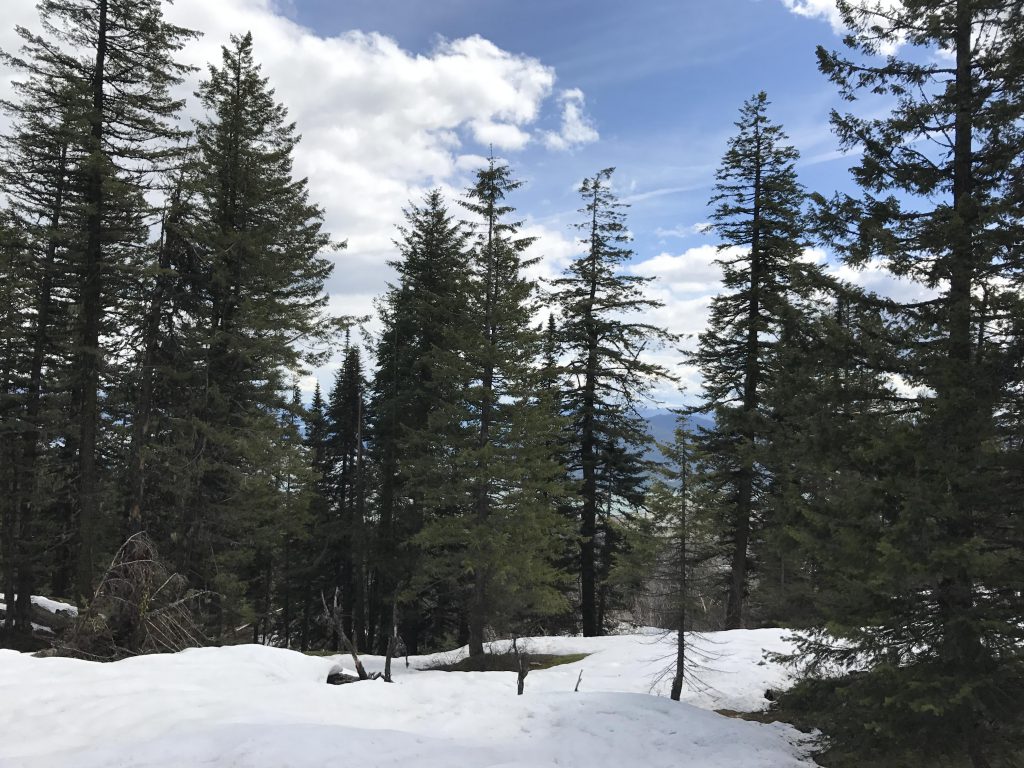
We hit on snow at around 4,000 feet, about a foot deep. To avoid snow, you may want to wait until the end of May.
Not so great
Meadow near trailheadWetland at the base of the mountainMost of the trail is uphillThe trail criss-crosses this seasonal brookViews of Lake Pend Oreille throughout the hikeSpring flowers in abundanceWestern red cedar groveFirst viewpoint, complete with a set of benchesCascading brookSteep cliffAirport and view of Lake Pend Oreille towards Clark ForkMoss-covered graniteLots of rock piles higher upGold Hill on the other side of Lake Pend Oreille is between the treesThe trail is dirt and loose rocksNaughty, with Lake Pend Oreille in the backgroundWe hit on about a foot of snow in the top fifthGreat views of Lake Pend Oreille from the topThis rock is the turnaround pointNaughty & ScribeLake Pend OreilleClose-up of Lake Pend OreilleA short scramble to the very top
Looks like a great hike. Xena and I would love this. Thanks for sharing!