- Channeled Scablands
- Mission Mountain and “Fireplace” (on the ridge)
- Excellent
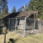
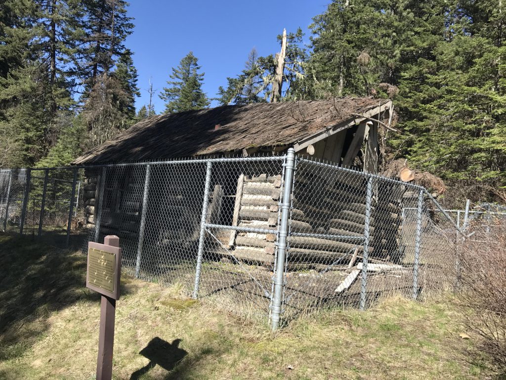
The structure beside the restroom at the parking lot is the first tavern in Benewah county to have a beer license. It was actually located on Marsh Hill, along US-95, but had to be moved when that road was widened. Built in 1933, the building did not benefit from the move, as a downed pine tree took out a corner of the house.
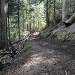
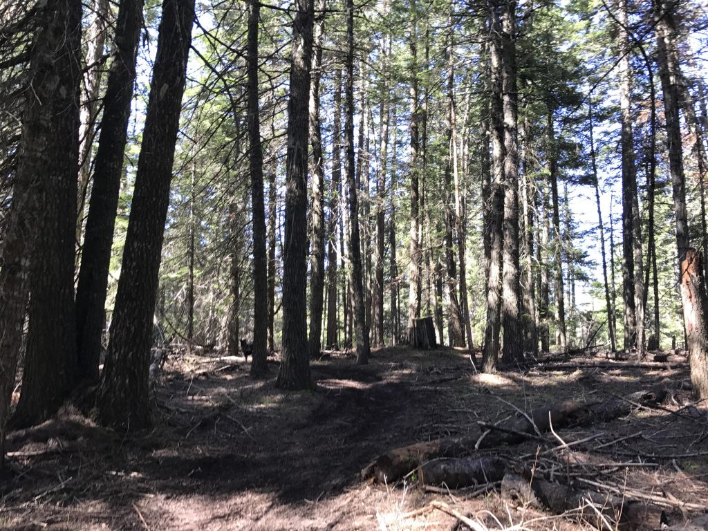
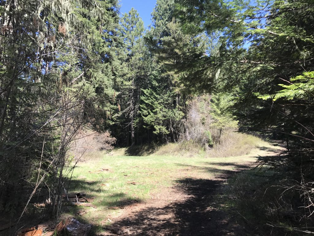
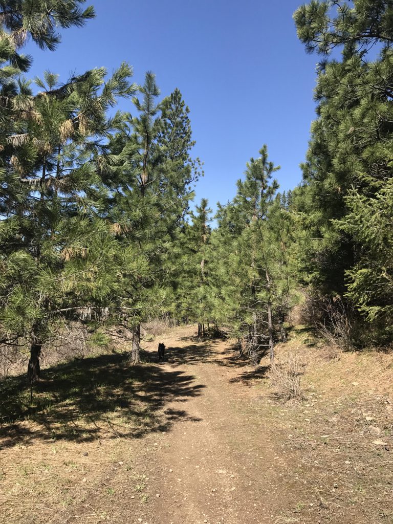
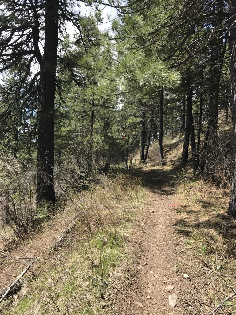
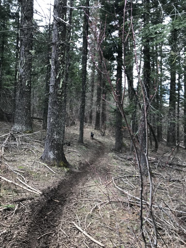
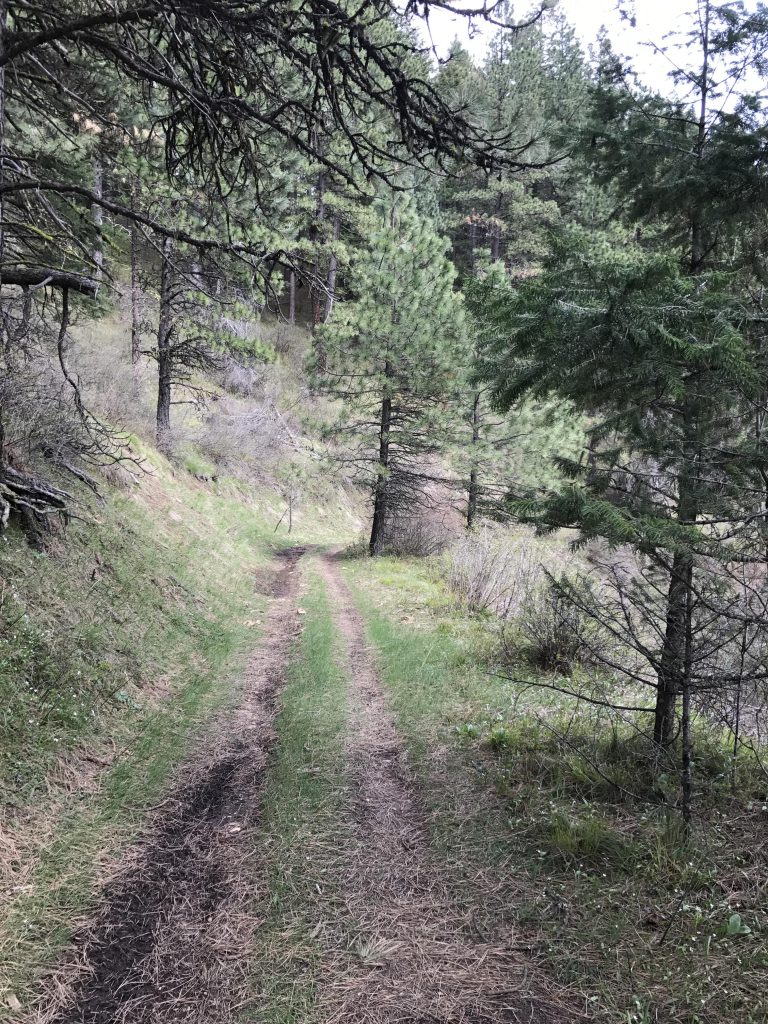
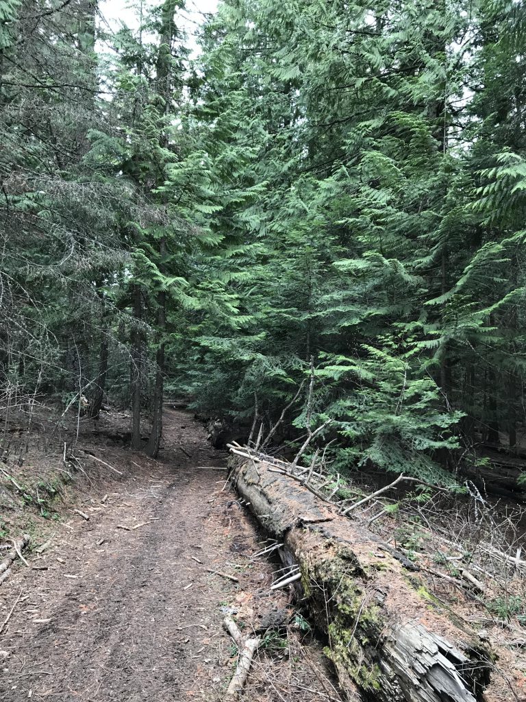
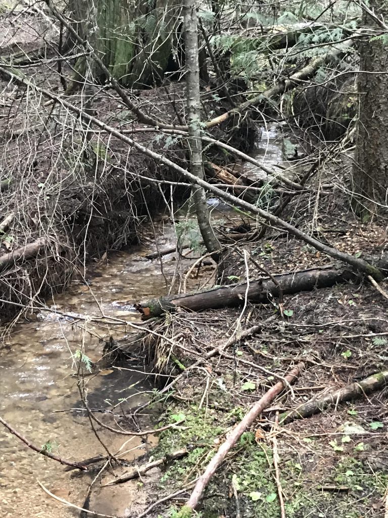
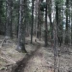
The start to the trail is on the opposite side of Skyline Drive, a trail called Lazy T Trail. It meanders through a mixed pine, fir, and cedar forest for just under 3 miles, crossing a few seasonal brooks in the process. The trail is a packed-dirt single-track and is fairly hemmed in by trees, though some mountain views open up occasionally. There are a couple of forks in the trail, but they are marked. The trail ends on a grassy logging road where you take a right and slight uphill towards a pretty camping spot near Skyline Drive (about at the 3-mile mark).
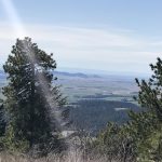
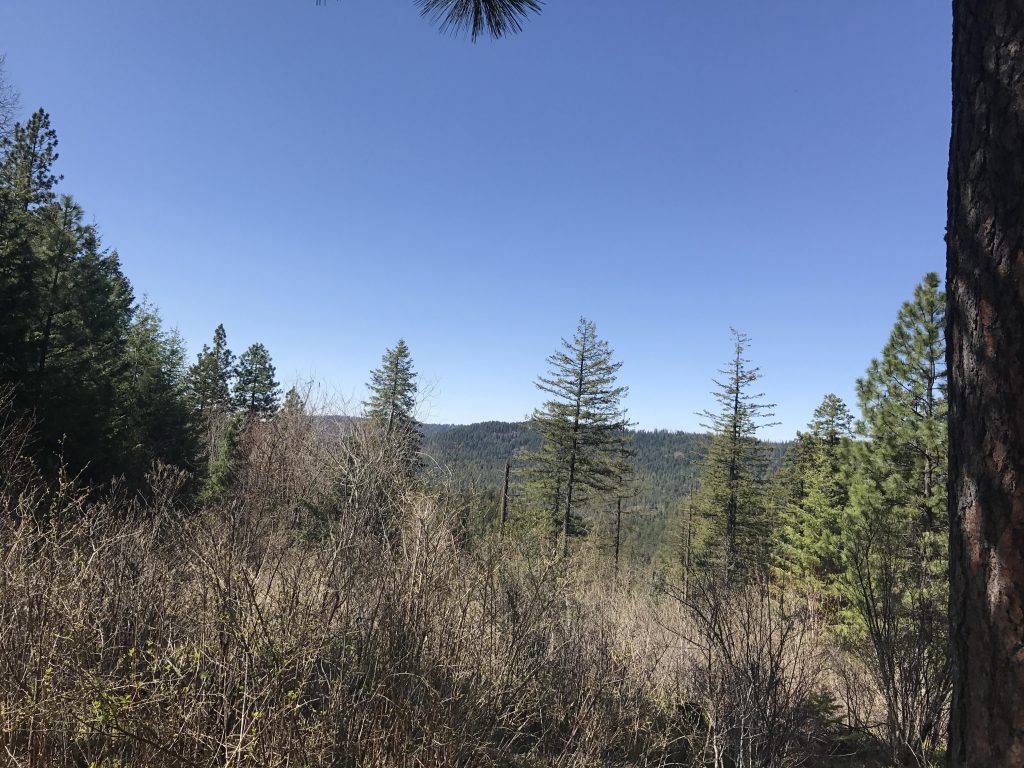
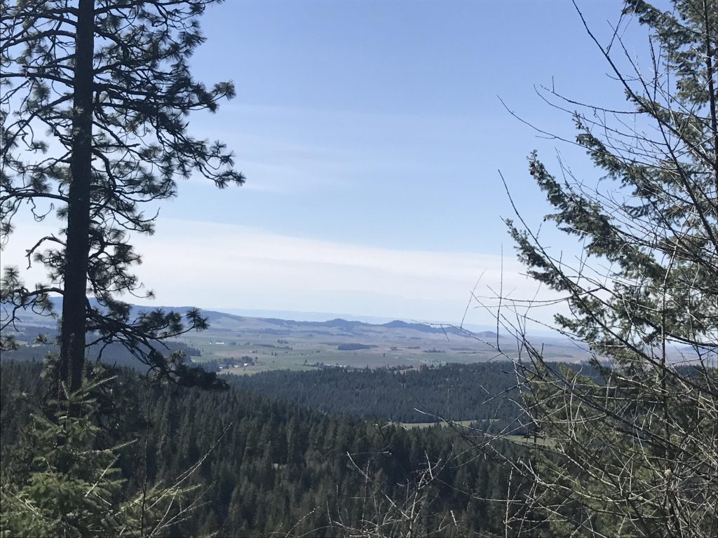
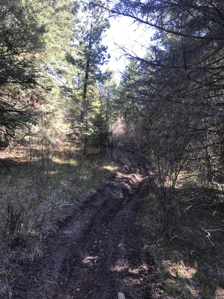
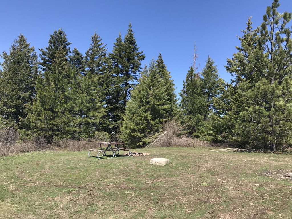
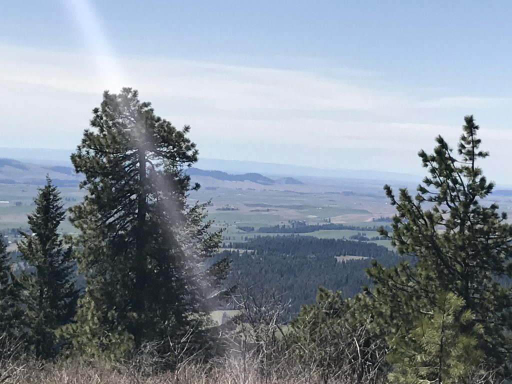
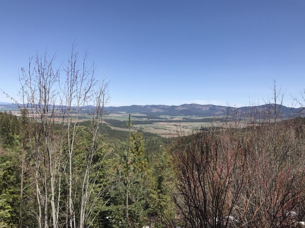
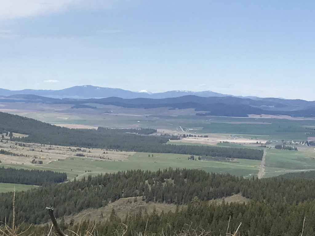
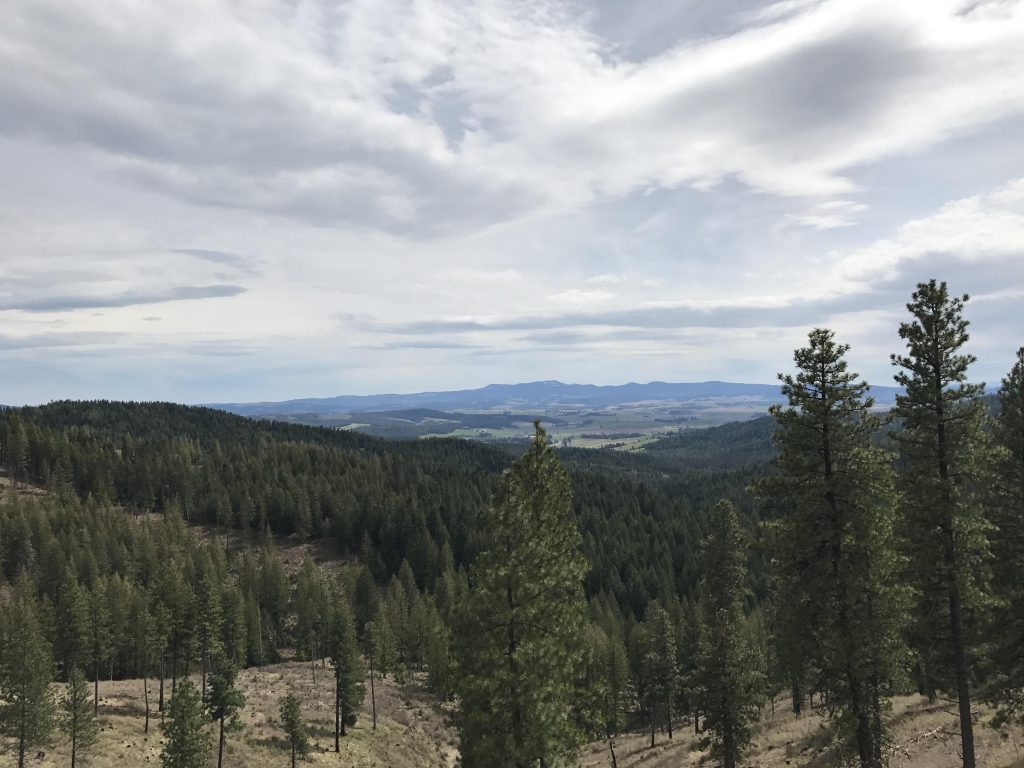
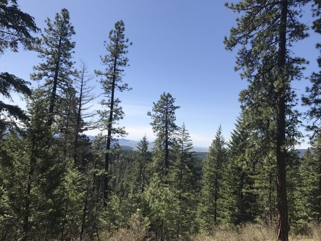
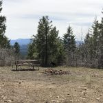
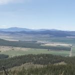
Cross Skyline Drive and ascend quite steeply along a single-track that is not marked on the park’s map. It climbs the southern flank of Mineral Mountain and about two-thirds up the forest opens up and you’ll enjoy some nice views to the south. For a while the trail follows a level logging road, but eventually veers away and climbs again, along a ridge, and heads straight up to the mountaintop. Mineral Mountain formerly featured a lookout tower and now surprises with nice views and a picnic table.
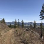
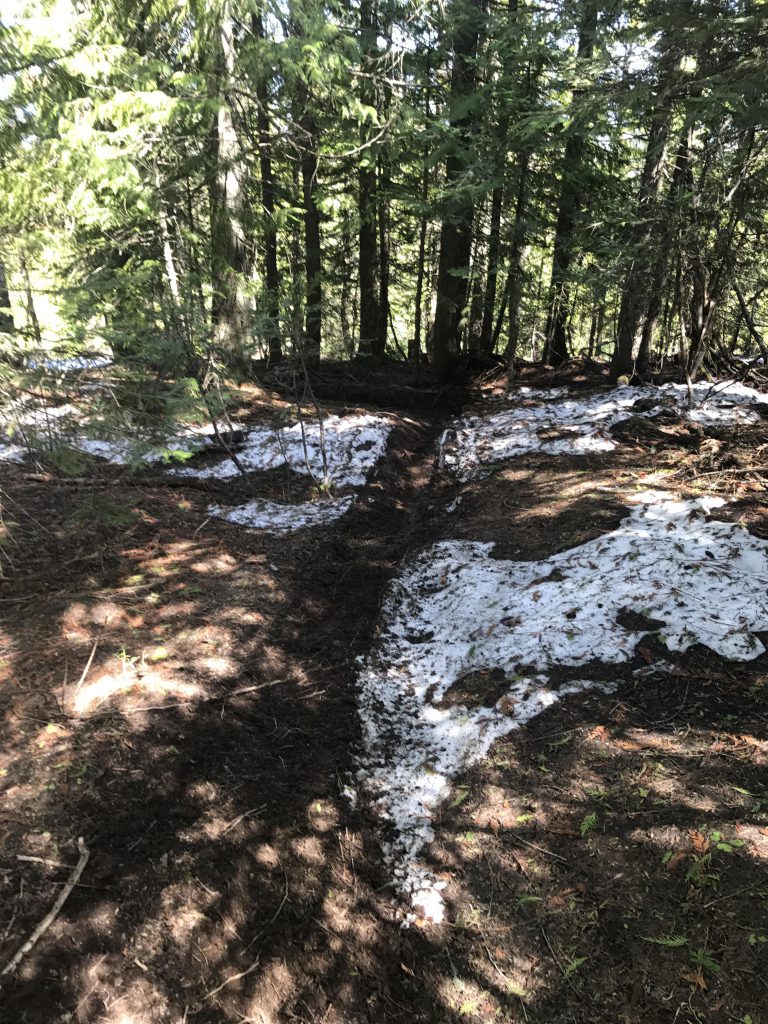
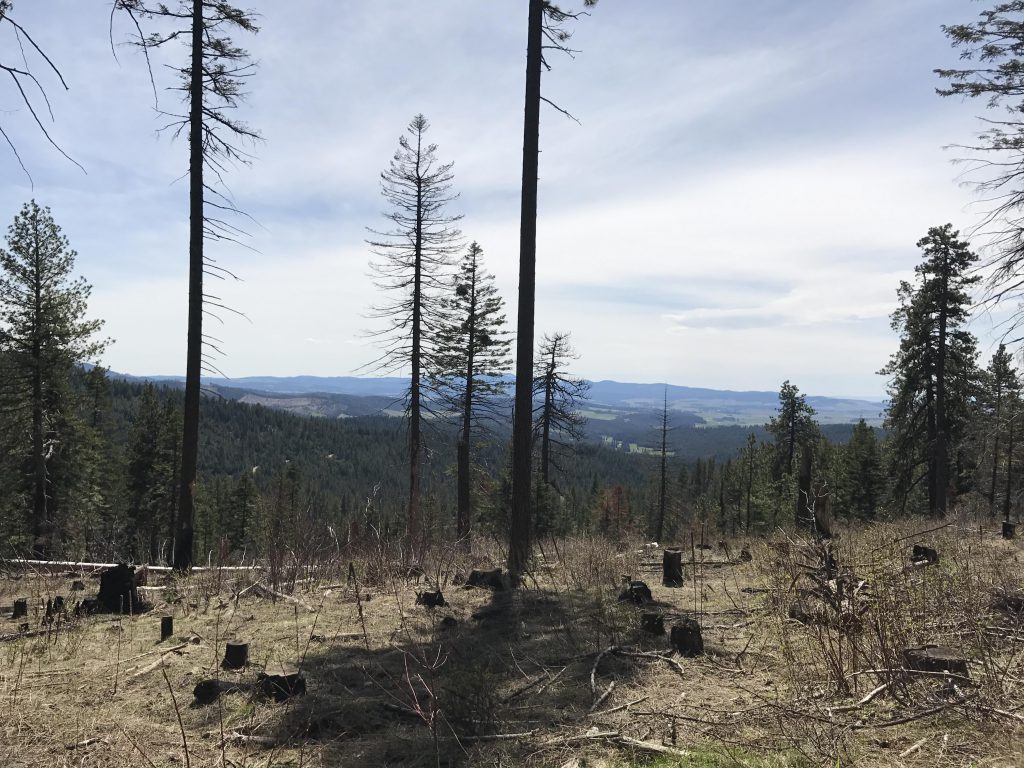
The trail continues on the other side of the peak, leading down into the woods and a few lingering patches of snow. Now a single-track, the path crosses a saddle, which is also the county line, and spills out onto a logging road that provides sweeping views to the north. This side is tribal land, not state park land, and has been logged extensively. One really needs to cross the small knob to the left to get back to Skyline Drive, but there is no obvious trail and since it wasn’t clear whether the land was private or public we followed the logging road downhill in a north-easterly direction until it met up with another logging road, a little before the 5-mile marker. Take a left onto that logging road and follow it uphill back to Skyline Drive, which is at the 6-mile marker.
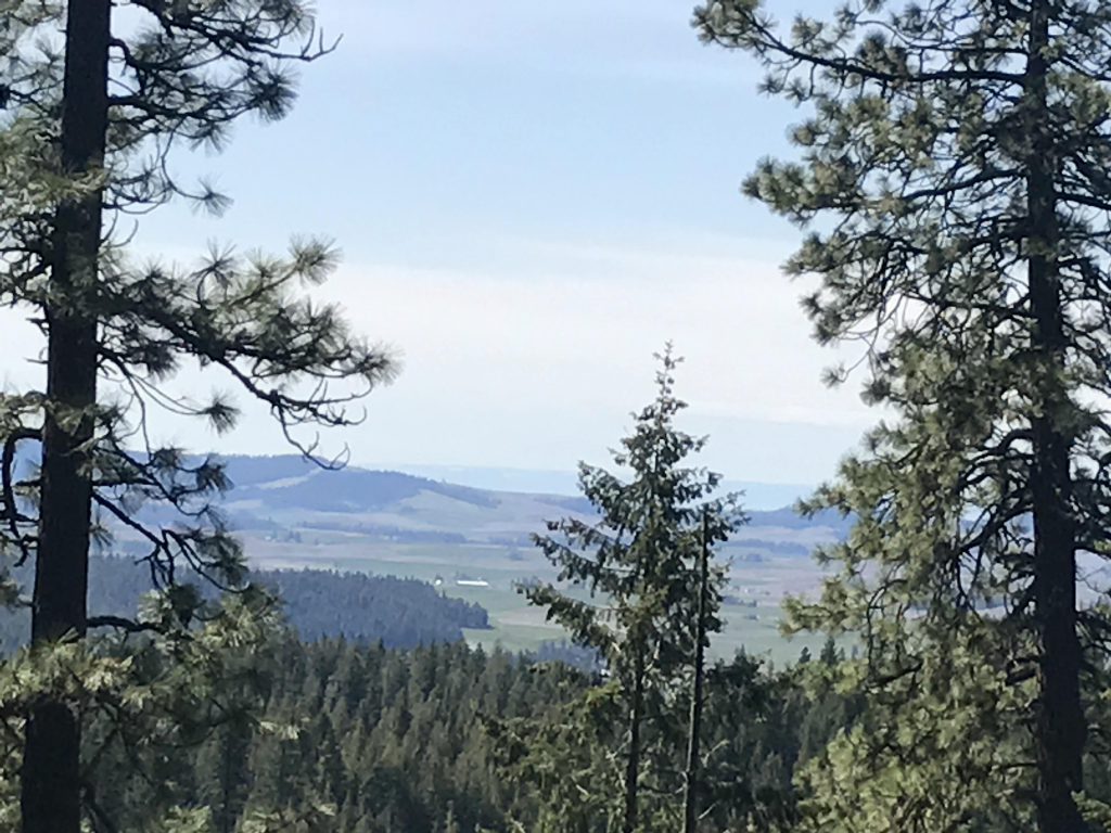
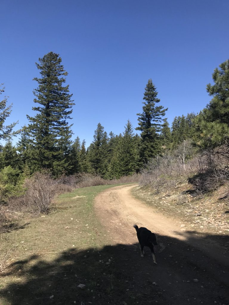
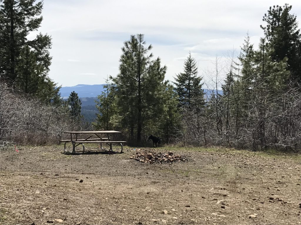
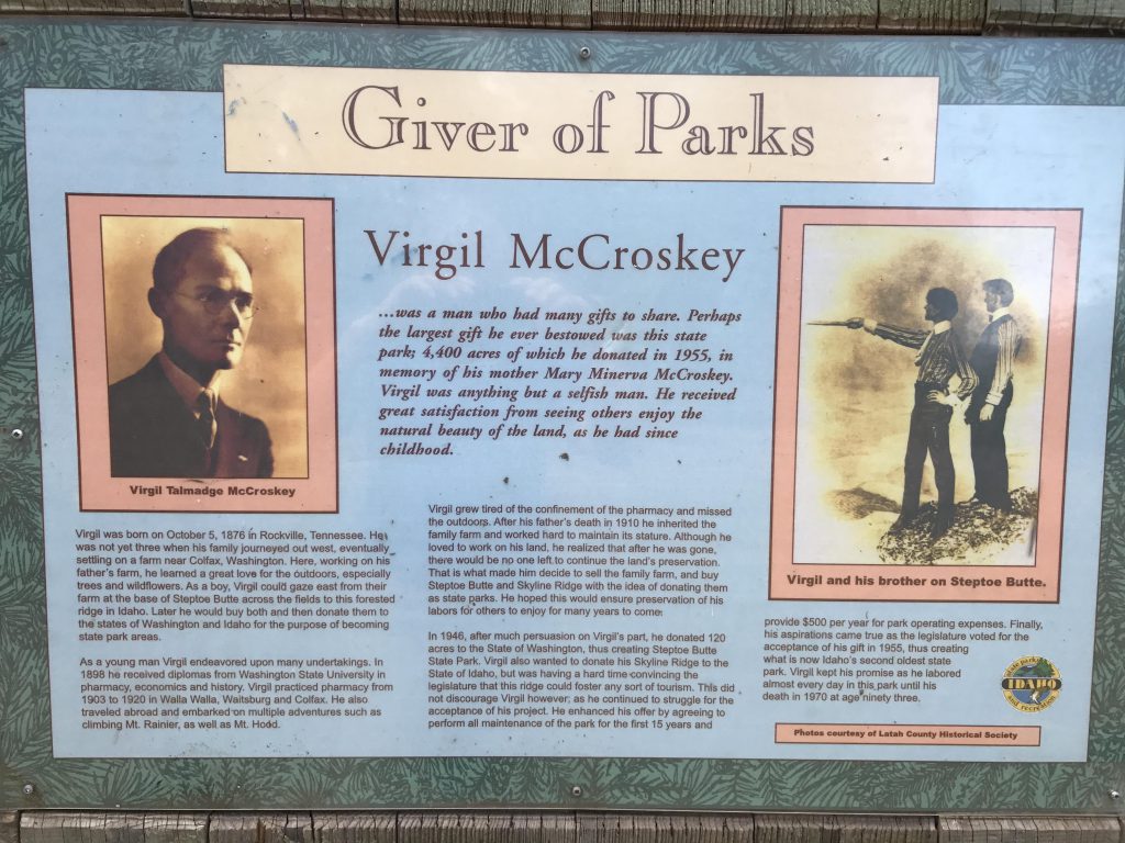
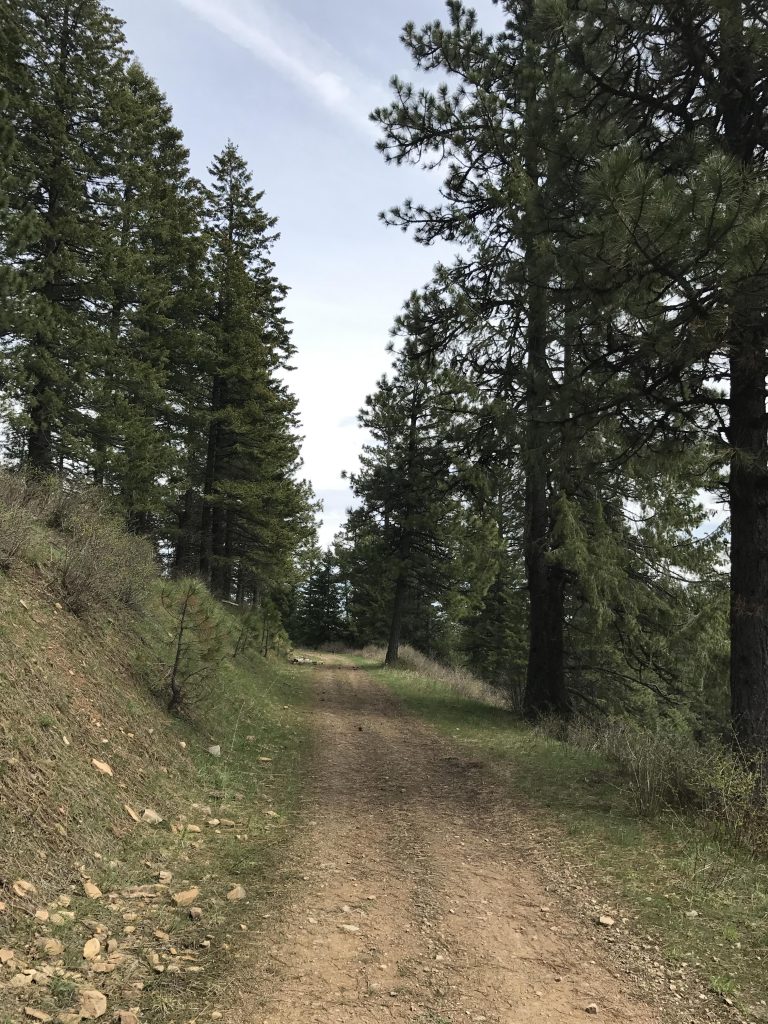
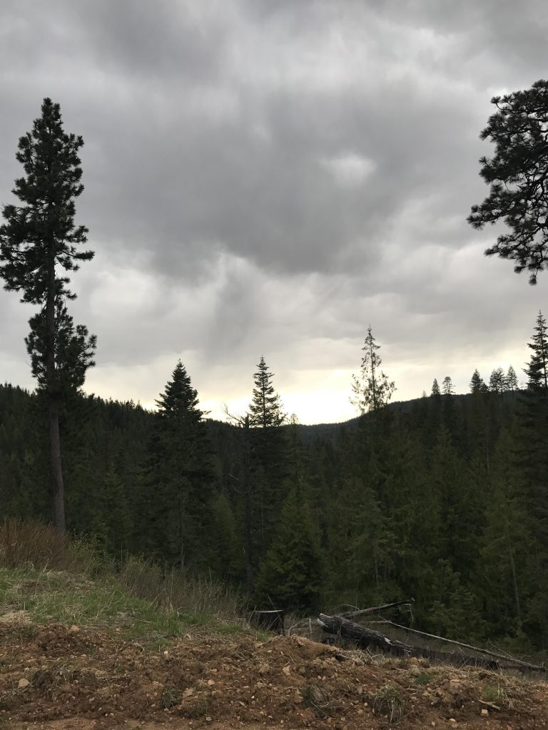
Next are three choices, to the left is Skyline Drive, to the right a logging road, and in the middle a single-track ascending a small knoll. They all lead to the same place, so we picked the single-track, which crossed the knoll in perhaps half a mile and emerged onto Skyline drive (there is one fork along the way; take a left). There is a burned area to the south providing decent views. Follow Skyline Drive for perhaps a quarter-mile, then take a left onto a wide logging road that leads to a picnic area, nice views, and an interpretive sign detailing the life of Mrs. McCroskey.
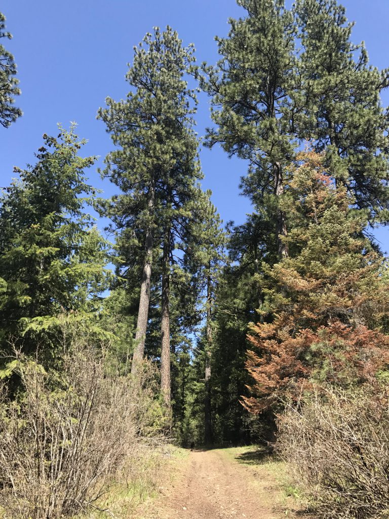
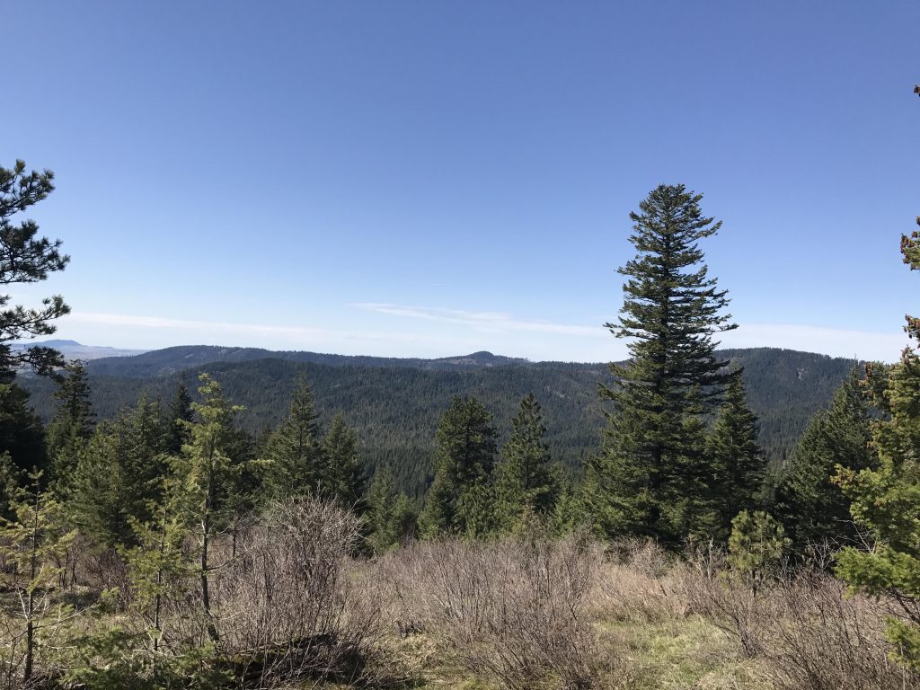
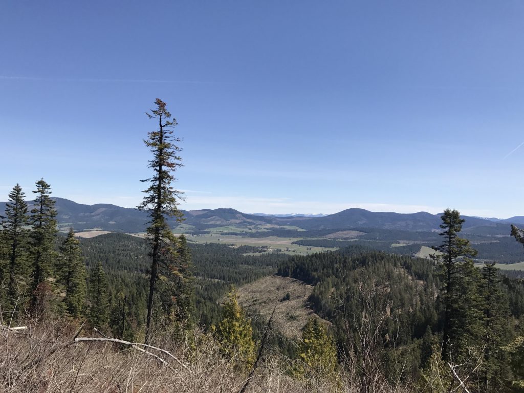
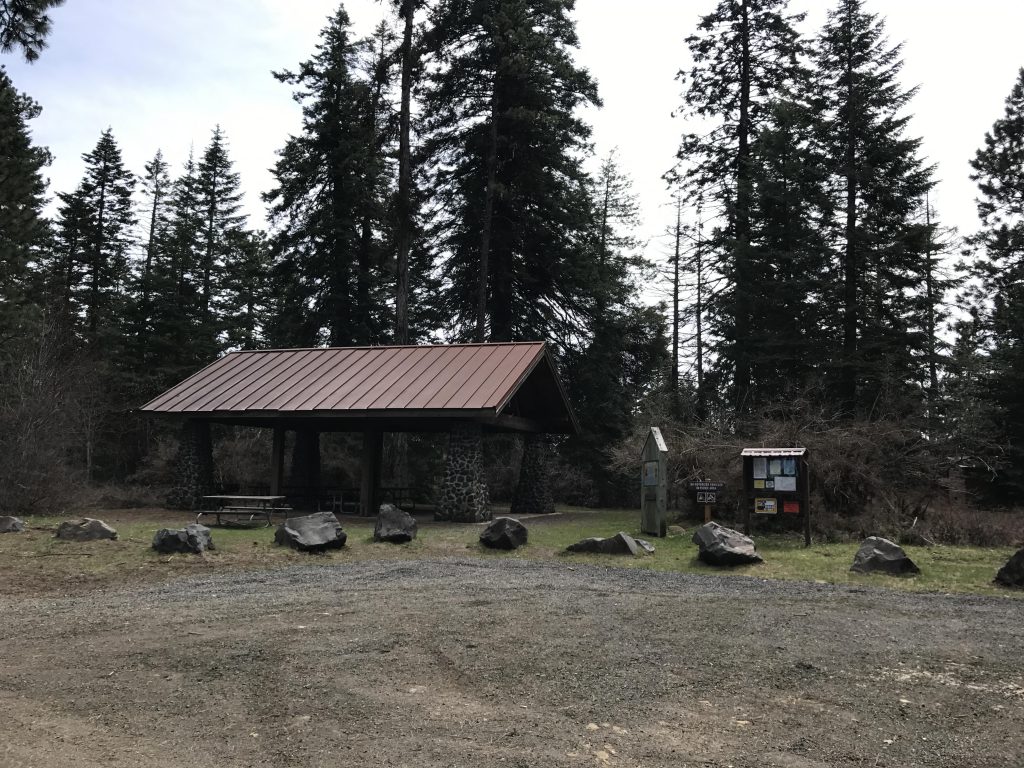
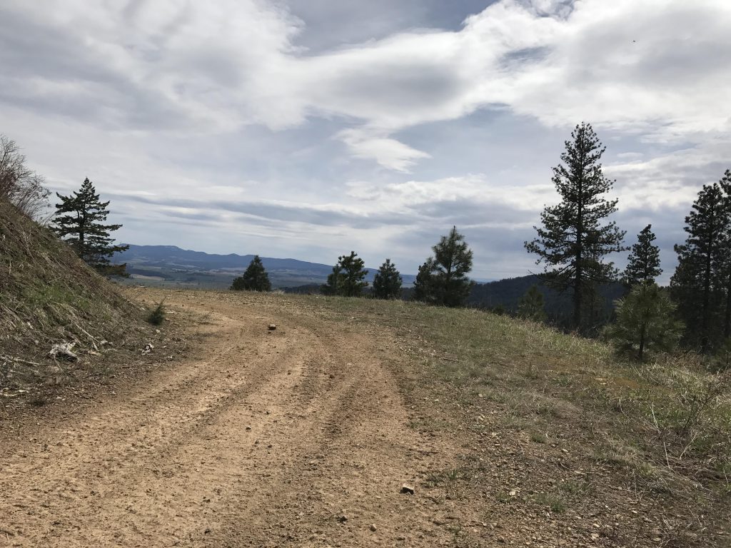
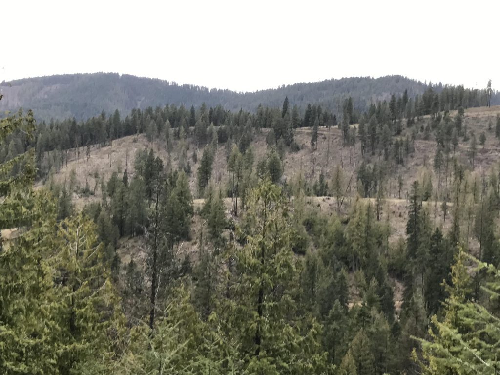
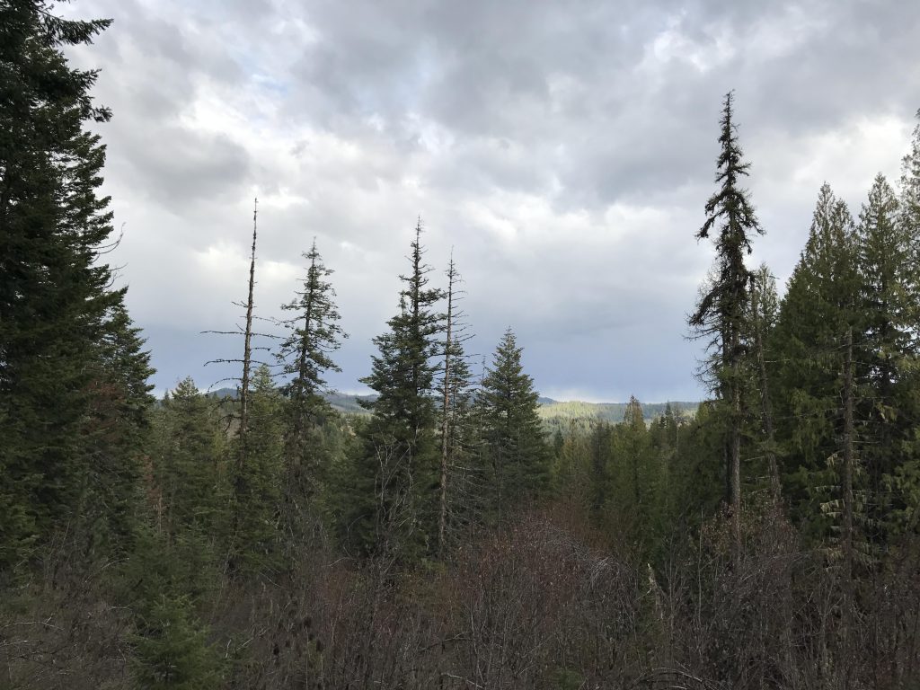
A single-track, marked as Lone Pine Trail on the map and signed as Fireplace Trail, heads off westwards, paralleling Skyline Drive but staying well below the ridge. In about a mile the trail heads back up to the rim to a campground and picnic shelter called Fireplace Campground. Stay on Skyline Drive until you’re passed the campground, then take a right onto a logging road that straddles the ridge and provides phenomenal views to the north (the entire north side has been clearcut).
At the 9-mile marker the trail once again meets up with Skyline Drive and another interpretive sign, this time a 1955-newspaper article detailing McCorskey’s land donation. The single-track remains to the north of Skyline Drive, however, and parallels the road. It bypasses Mission Mountain, dropping down its northern flank and reemerges onto Skyline Drive at the 10-mile marker.
Cross Skyline Drive and take the logging road that heads due south. After about a mile take the single-track that tumbles down into the woods to your left. Shortly it spills out onto another logging road, which is the beginning of the Korth Trail.
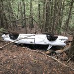
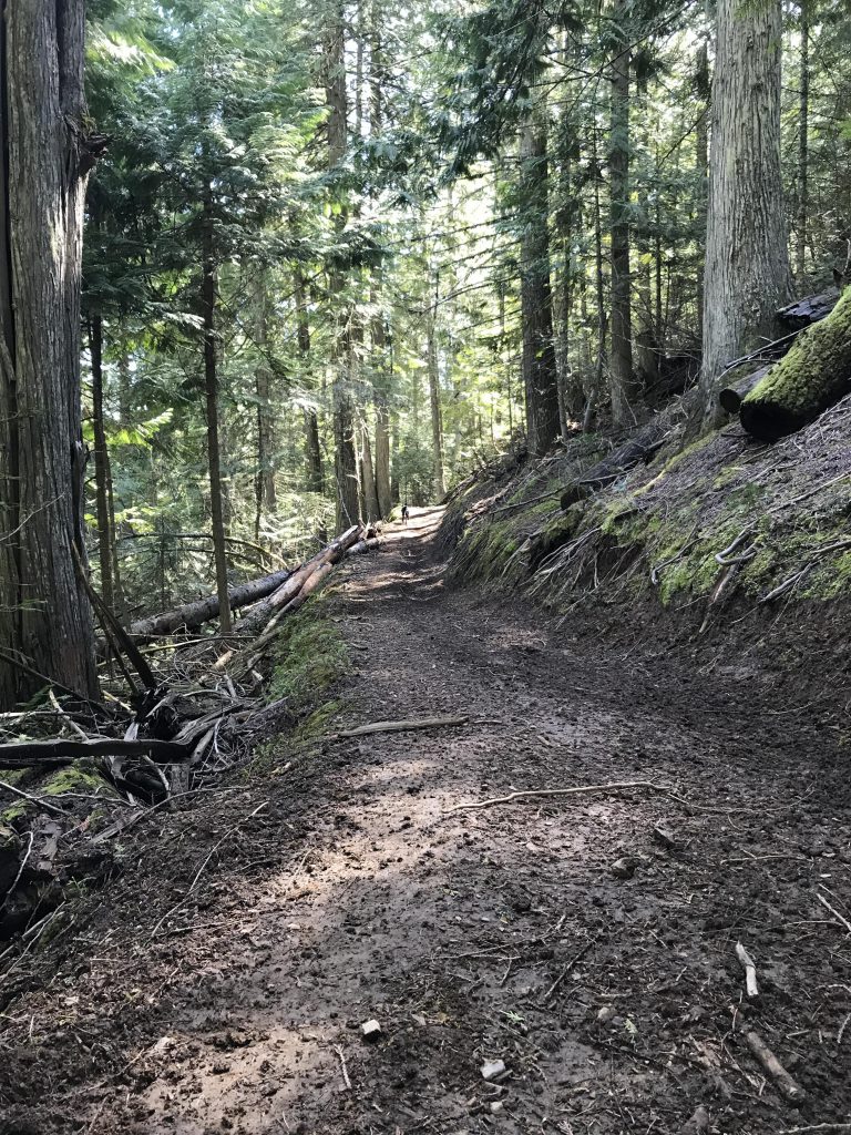
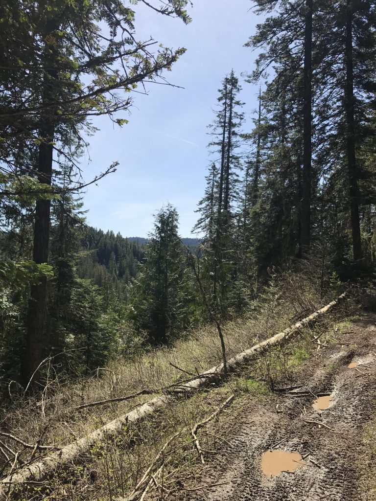
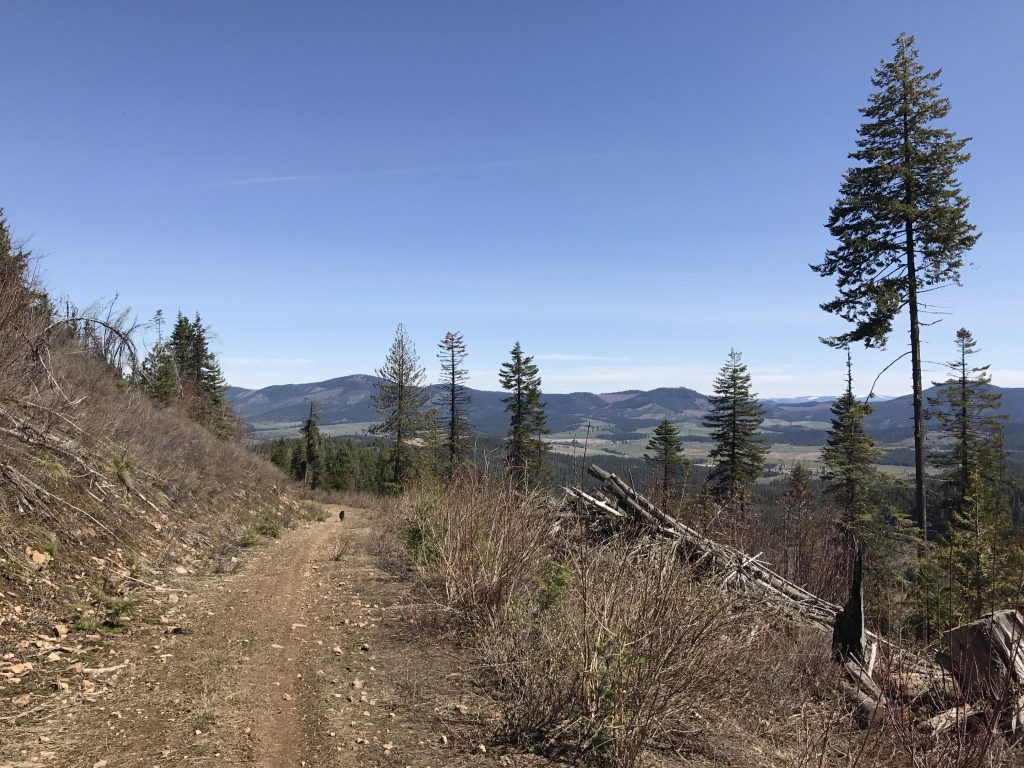
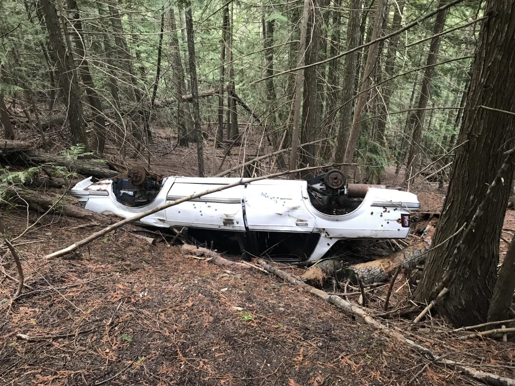
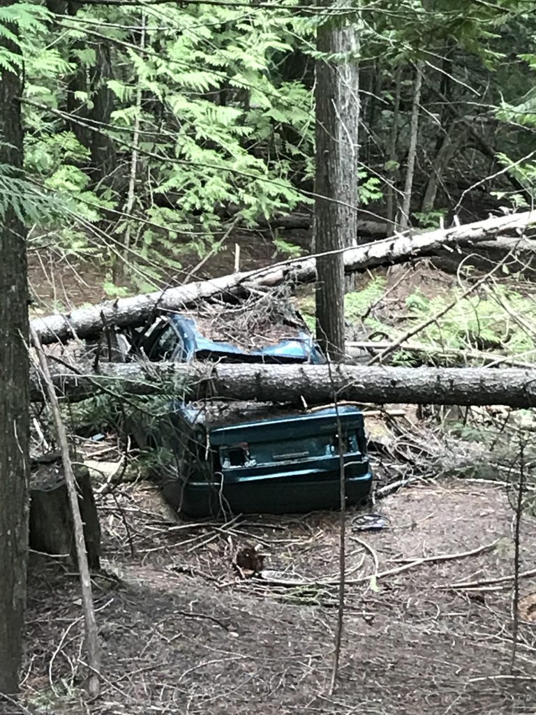
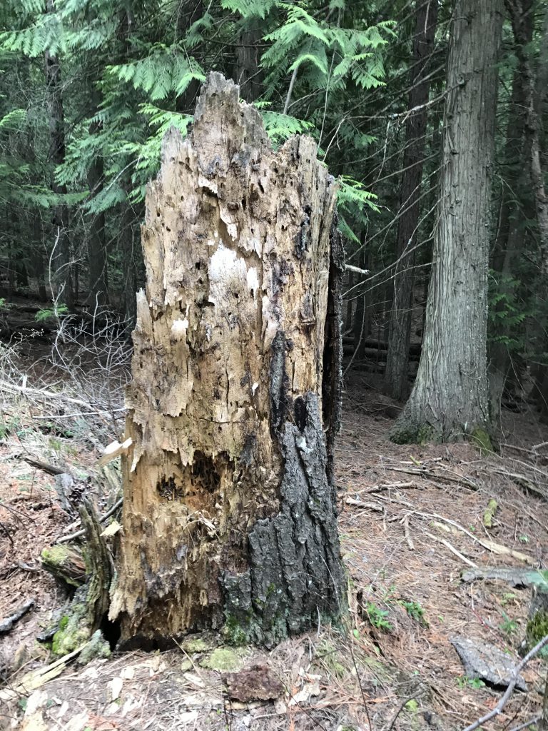
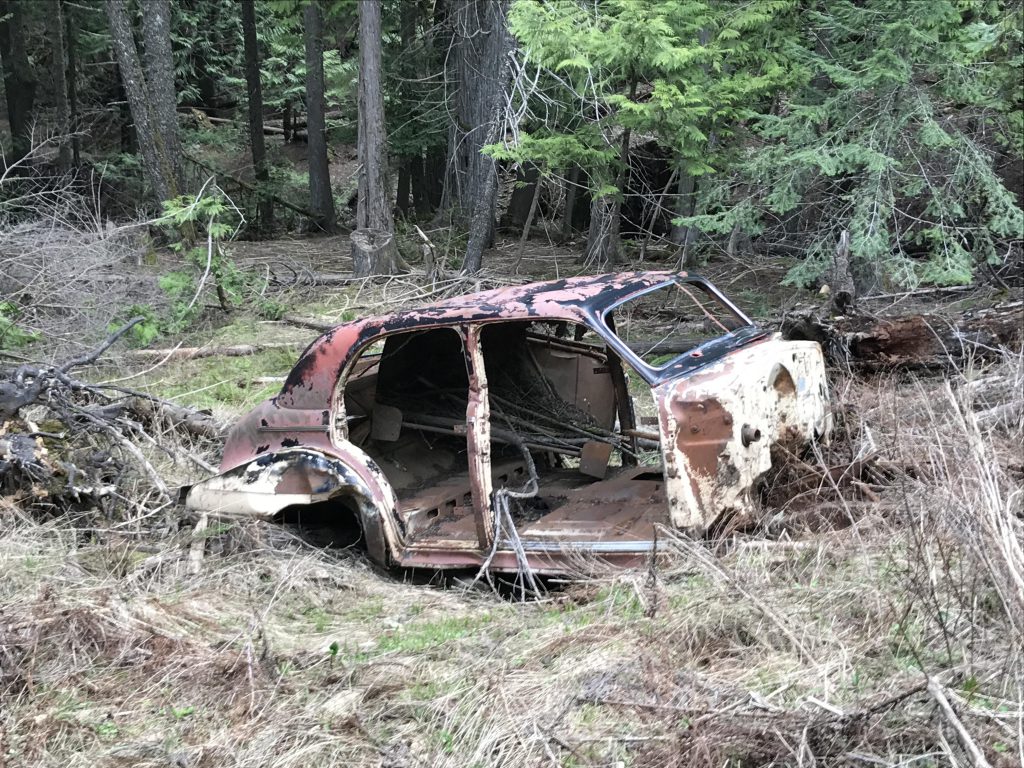
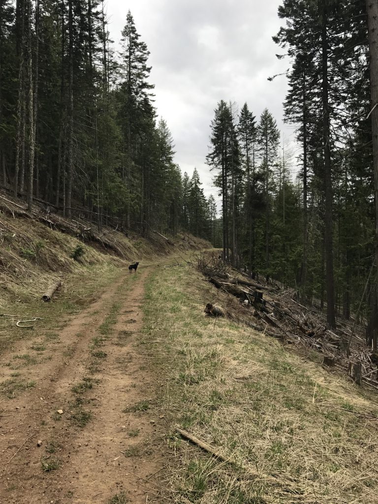
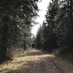
Follow this logging road for the next 10 miles. It meanders along the mountainside, at first very broad and open, then narrowing and swallowed by woods. In fact, this first section of road could easily be traveled by car, but the narrower and deteriorating road clearly took its toll on the driving populace, as evidenced by several wrecks sprinkled throughout the woods (though, we mused, perhaps this was the result of a drive-by shooting, a particularly delicate operation on a single-lane overgrown forest road, that caused the assailant to follow the victim down into the depths of the forest, only to be crushed by toppling trees….). Anyway, the road does cross several gullies where you may find water, but late in summer it likely is dried up.
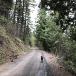
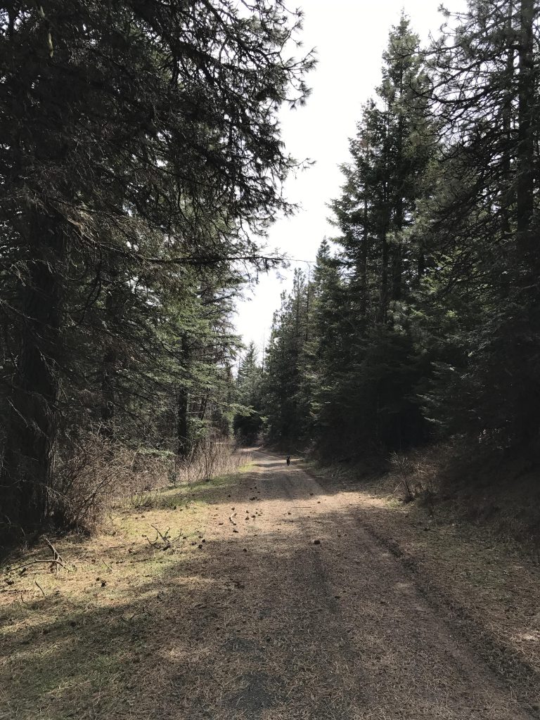
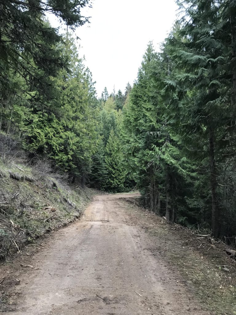
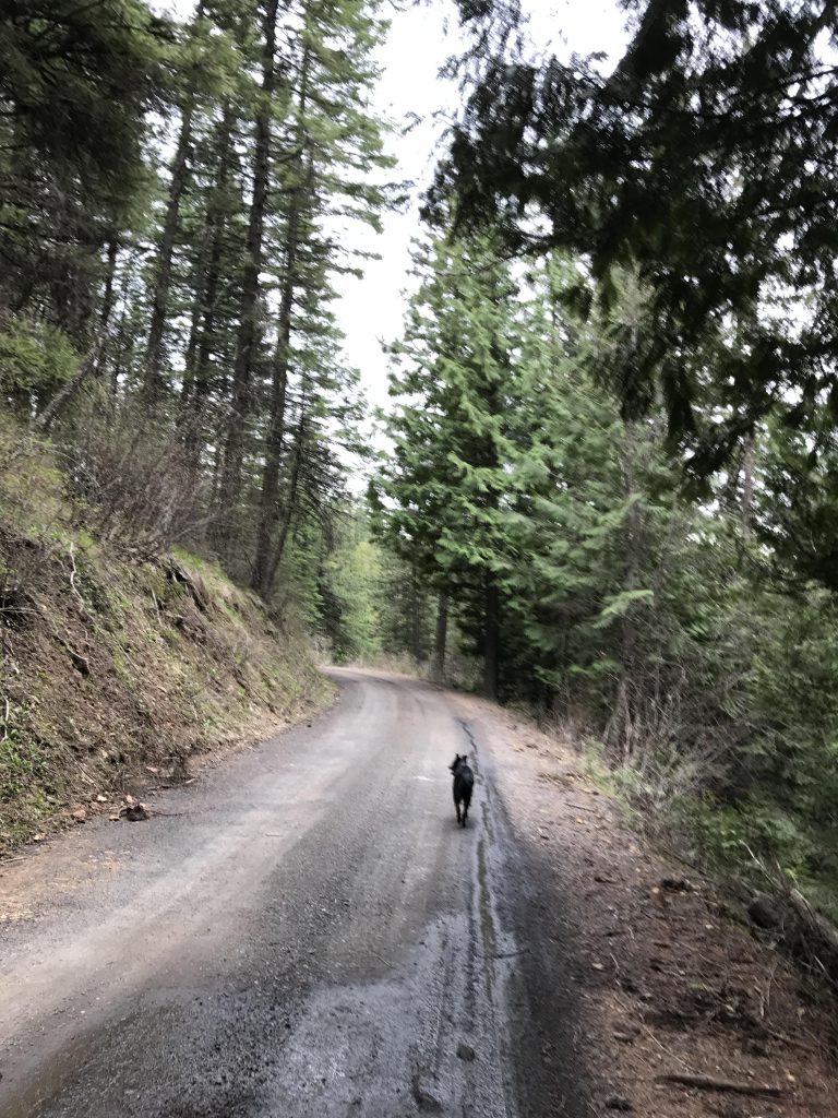
The last quarter of the Korth Trail is on a logging road that clearly is heavily used and makes for poor hiking. The road leads back to Skyline Drive around the 22-mile mark. Then it’s downhill on Skyline Drive, a gravel road, back to the trailhead.
Alternate Routes
- There are many more trails (32 miles in total) along Skyline Drive, which follows the ridge for another 10 miles. Refer to the trailmap
Things to Consider
Not so great