- Coeur d’Alene Mountains
- There are numerous camping opportunities along the ridge portion of Lost Creek, up on the state line ridge, and at the mountain lakes.
- Trout Creek also offers ample opportunity. We camped at 93-Mile Lake on the way out and on the state line ridge a few miles south of East Lake on the way back.
- Be aware that recent burns make camping along the ridge difficult due to the danger of falling snags.
- Lost Creek is in need of maintenance, especially the saddle between Lost Creek and Eagle Creek. The Trout Creek trail was recently maintained.
We started out shortly after noon on Friday and reached the Lost Creek trailhead at 2pm. Sunset, the Scribe reminded me, was projected for 8pm, so that gave us 5 good hours of hiking to reach 93-Mile lake, set up camp, eat, and get settled. I only heard ”eat”, and was on my way. We followed FR 442 for a few miles because the Scribe figured that FT 153 would follow the creek more closely and thus provide a steady source of water. Knowing that he hadn’t checked the age of his maps (ancient USGS topos), I decided to cool down and lap up whatever water I could. FT 153 starts at the confluence of Stack Creek and Lost Creek. Strategically placed rocks allowed the Scribe to cross without switching to sandals; I, on the other hand, welcomed another opportunity for a quick bath. The path then ascended the hillside and paralleled Lost Creek on the left side on a very pleasant forest cushion, nicely shaded by larch and pines. Around 3 miles into the hike, the elevation dropped and we crossed Lost Creek (the Scribe didn’t change shoes and got his hiking boots wet…). The trail then rose steeply along the hillside and eventually wrapped around the ridge to follow a Lost Creek tributary. To the Scribe’s dismay, the trail didn’t hug the creek as indicated on his old map; instead, it kept climbing higher and higher, which made him huff and puff and I had to wait for him to catch up. I made ample use of those pauses to send the local squirrel population to higher elevations (30 feet, give or take). The trail eventually reached a ridge, which would have made for a perfect camping spot if it wasn’t for the lack of water. The Scribe ate his lunch and didn’t share. Nothing new. I looked for squirrel.
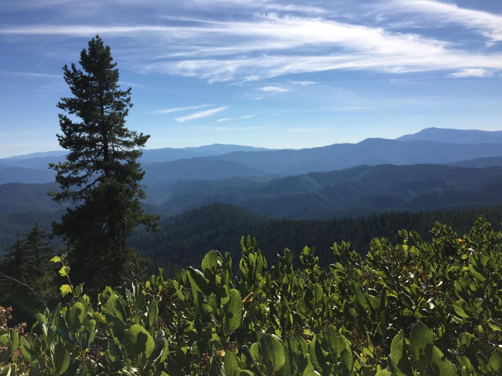
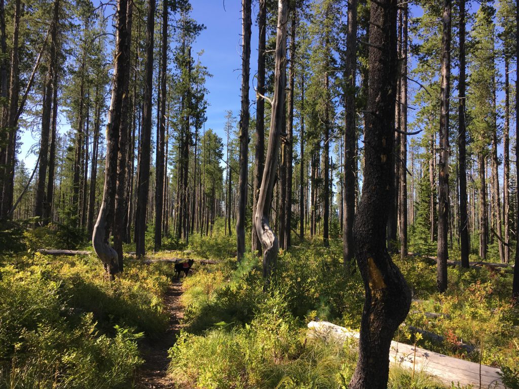
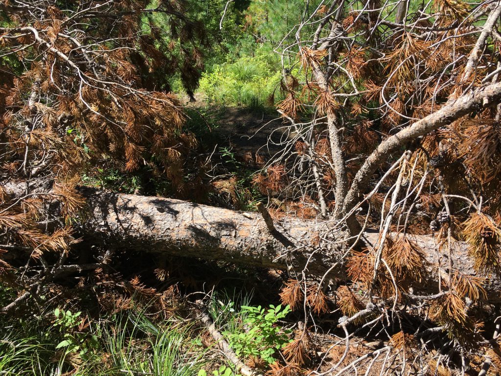
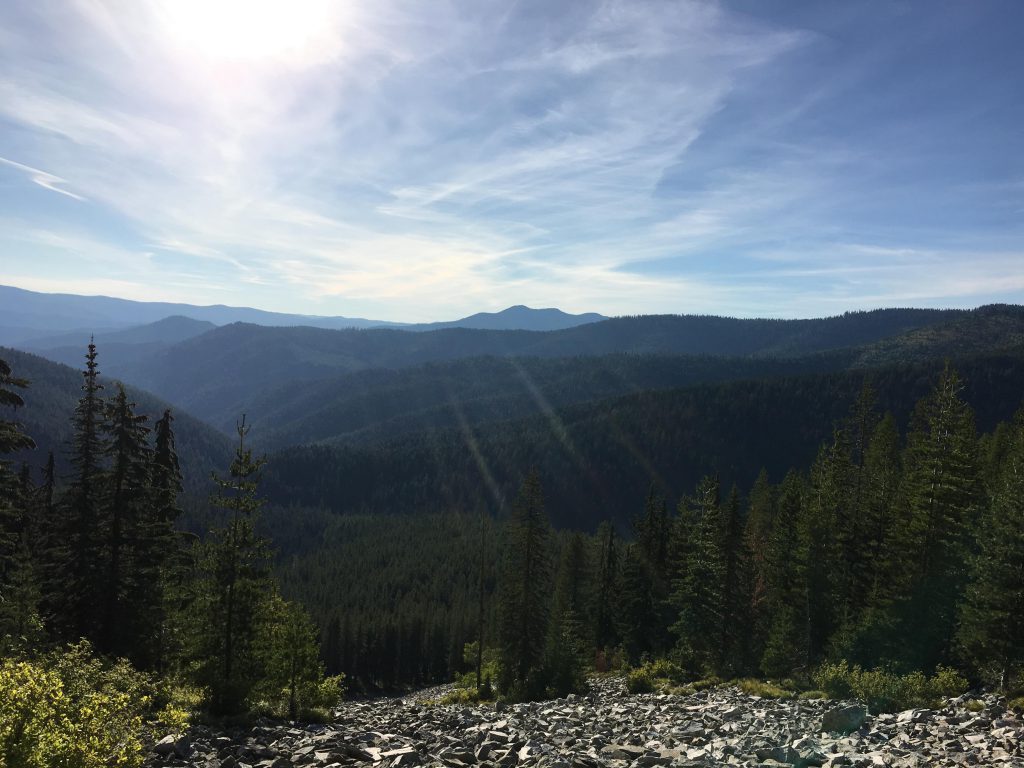
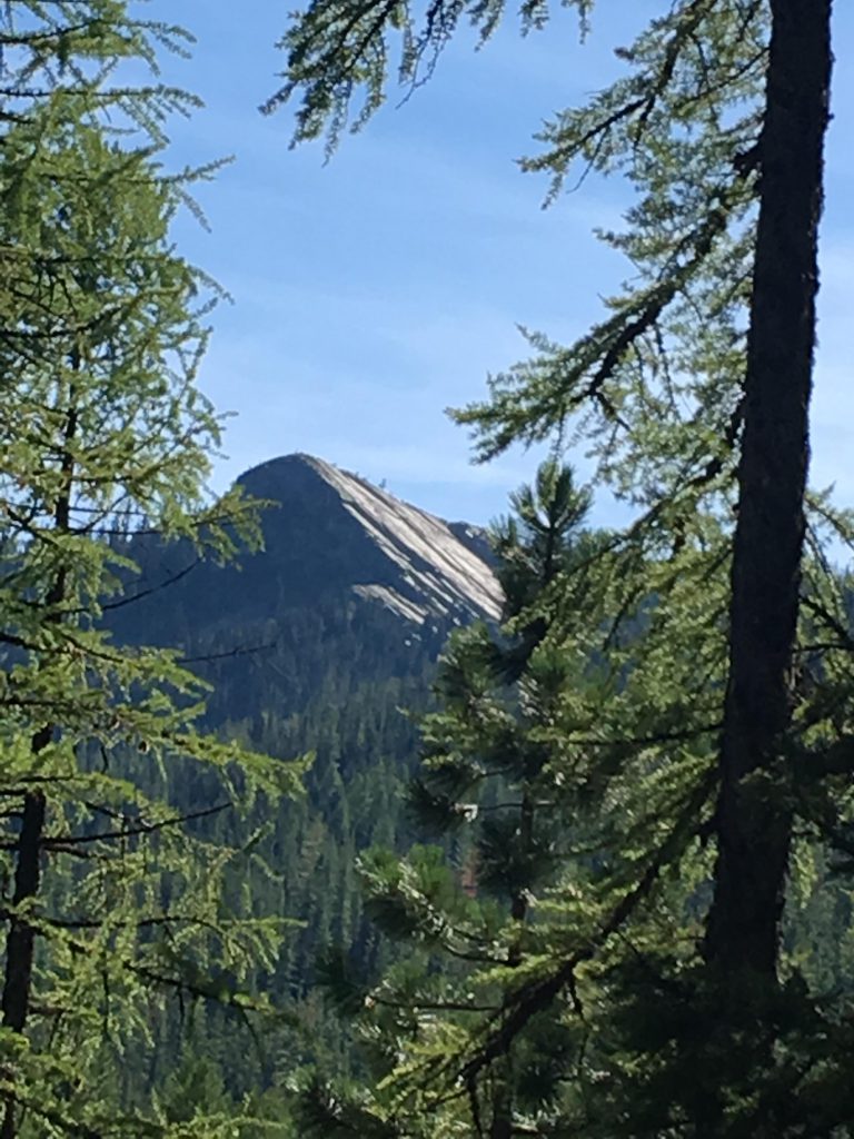
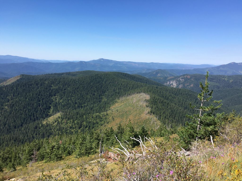
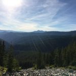
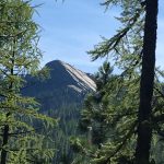
We continued up and soon the trees retreated and a spectacular vista opened up. The trail was much more overgrown, though, and we ended up bushwhacking for a while until we met up with FT 502 (Lost Creek Ridge trail). The ridge trail suffered the shortcomings of all ridge trails: no water and lots of toppled trees. The Scribe appeared concerned at the frequent signs of bear: scratched trees and scat (the scat was old, so no worry, but try tell that to the Scribe). We made decent progress until we reached the saddle that divides the Lost Creek and the Eagle Creek drainages. A forest fire ravaged this area in the not so distant past and it was now covered with snags, many of them sprawled across our path with their branches still attached. Climbing over and under was tedious to say the least, especially when you’re carrying an eight-pound pack. I made the Scribe walk ahead and break the branches.
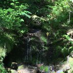
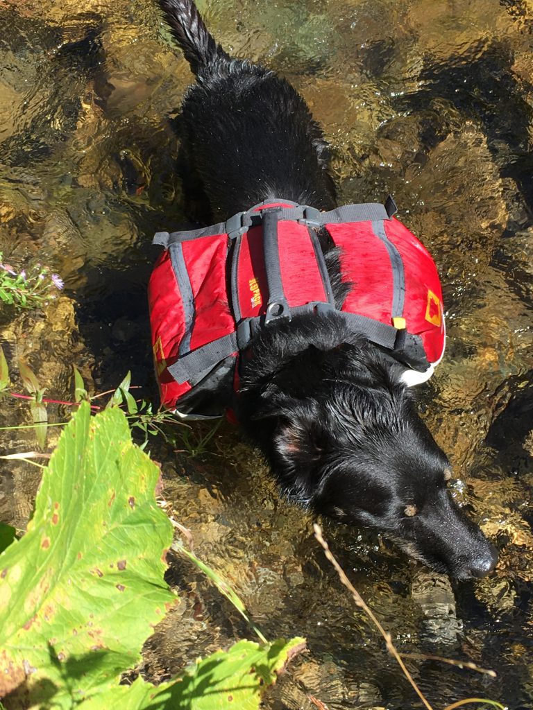
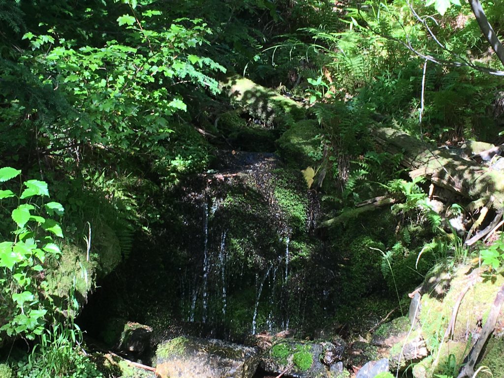
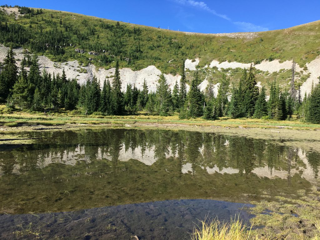
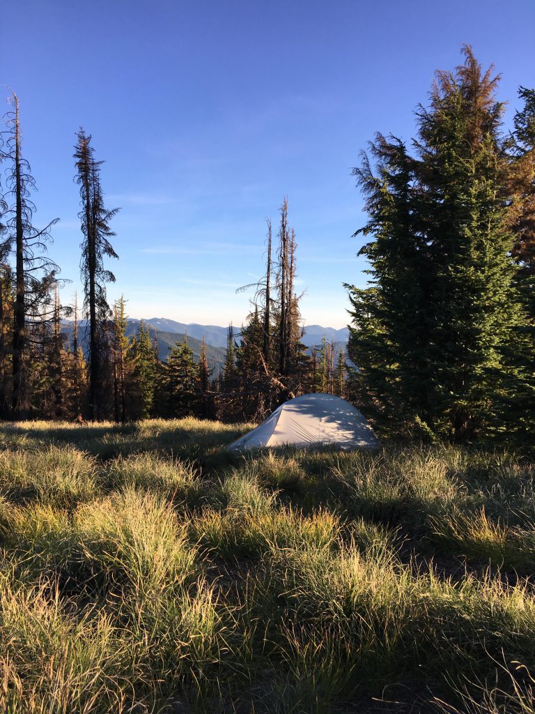
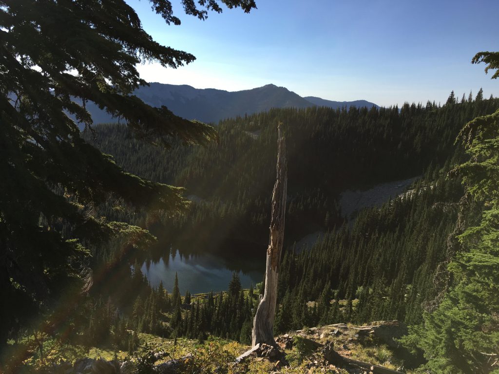
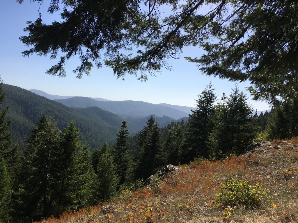
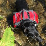
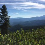
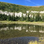
The going got easier on the other side of the saddle, where the trail hugged the hillside and once again entered a thick canopy of fir and pine. Shortly we came across a much-needed moss-covered tributary to Lost Creek, which provided our first opportunity to fill up our water bottles. I plunged right in, and stirred up the muck while the Scribe tried to collect clean water. The trail continued at a steady incline, through forest and across talus fields that offered grand views of the Idaho side. Soon the trail emerged onto FR 430, which, in one giant switchback, led as back and up to the state line. There were no trees up on the ridge, providing 360-degree views of Montana and Idaho. Down below, on the Montana side, we spotted 93-Mile Lake, which in the sweltering summer heat had shrank to a sad little pond. It was almost 7pm, so instead of looking for a trail to the lake we dropped straight down (that means I sniffed out the easiest way and the Scribe followed). We set up camp next to the lake and made dinner. Finally!!!! Dinner!!! And crawled into the tent. As soon as the sun went down, it got horribly cold. The water in the pond, a foot deep at most, felt warm to the touch, after boiling in 90-degree weather all day. With the sun gone, water evaporated rapidly and the tent walls were soon covered with moisture as if we’d been in a downpour. The Scribe wanted to sleep, but all kinds of action went on outside. The lake was the only waterhole for miles around, and I could smell critters big and small rambling around outside. I growled and barked and every so often the Scribe would go outside and check things out, but of course by that time all was quiet again. It was fun, though. I kept it up until 2am. Then a moose splashed around in the pool. I made do with a low growl. He coughed and grunted and finally wandered off. I decided it was time to go to sleep.
We slept until 7.30 the next day, at which point the sun was already mercilessly hot. The Scribe broke camp and made breakfast. I snarfed it down in 1.5 seconds and went on exploring the lake. A hiker came down the talus slope from the ridge line. As he approached I raced across the field and greeted him with a fierce barking. The Scribe told me to sit. Sometimes I wonder what he’s thinking, or whether he’s thinking. You don’t sit when an intruder approaches! Anyway, I sat because it makes him happy. While the Scribe was talking to the hiker and not looking at me, I got up and sniffed the hiker’s crotch. He seemed alright: there was the lingering smell of other dogs.
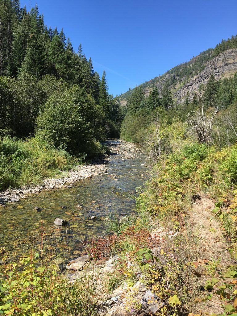
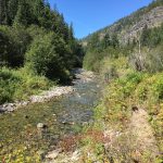
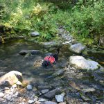
The trail along the West Fork of Trout Creek was pleasant and well-maintained. We frequently crossed tributaries and didn’t bother filling up our water bottles. The trail led steeply downhill and after about 2 miles Trout Creek came into view. The trail follows the river closely; too closely at times, with the vegetation very thick on the creek’s edges. At some point we had to cross the creek, which the Scribe accomplished without getting his feet wet, only to realize that we had to recross a hundred yards downriver. This time the Scribe took his shoes off and forded barefoot.
I needed more than one paw to count the squirrels I treed while he dried off his feet and put his shoes back on. As we continued, the creek turned sharply left, and a big ruckus evolved on the other side as we approached. I forded the river at full speed to confront the intruder. It looked like an enormous tailless squirrel. The Scribe called me back. He was stuck on the other side of the creek, trying to decide whether to switch to sandals or attempt another crossing in his hiking shoes. I stayed put for a minute to observe the tailless squirrel-giant. The Scribe’s voice got more and more agitated. I knew I had to check on him, so I turned and crossed the creek. The Scribe was putting on his sandals. He wanted me to heel. I humored him. We crossed the creek and found scat on the trail. The Scribe inspected it at length, and told me it was fresh. He glanced at the undergrowth where the ruckus had come from. “Bear,” he finally whispered. Well, duh! “Let’s go,” he said. Not my first choice, but hey. We hightailed it down the trail, going as fast as we could without making it look like we were running. The Scribe kept shouting, “Easy!”, which he does when he wants me to slow down, but he shouted so loudly that I kept thinking it’s for someone else’s benefit.
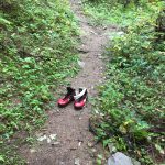
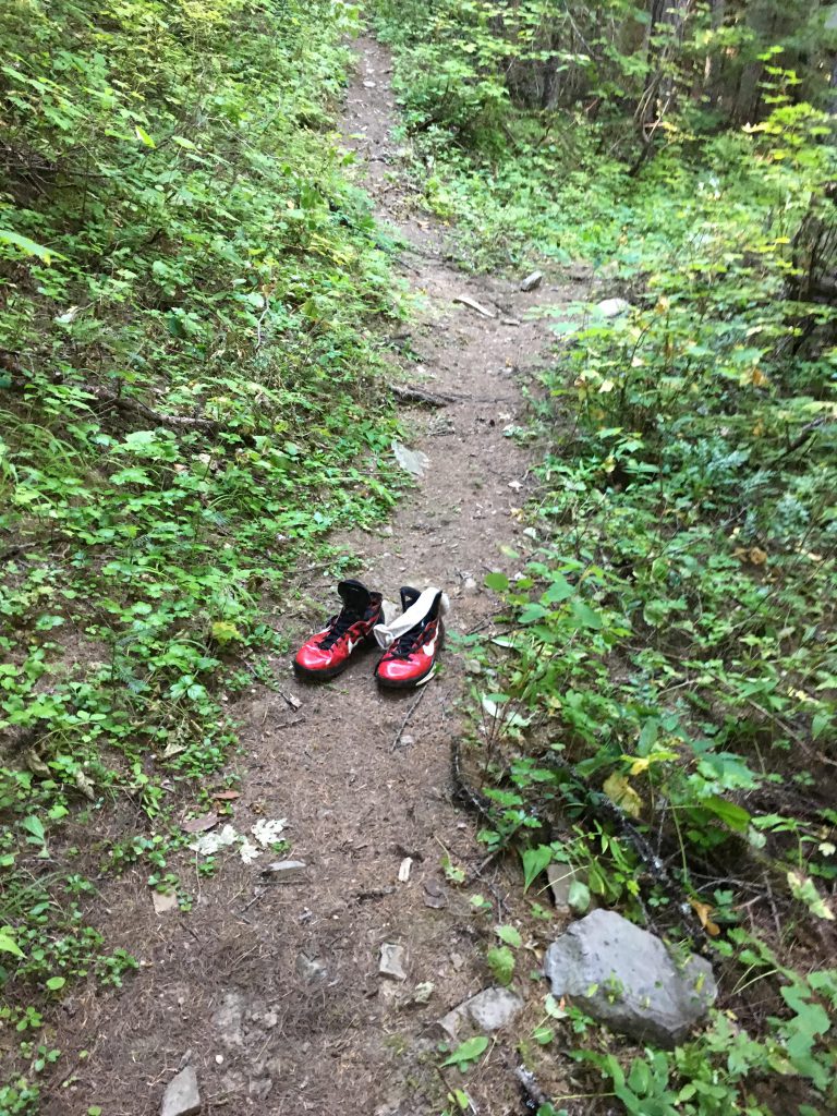
We ended up crisscrossing the creek four or five times, finding a pair of shoes hanging from a tree and another smack in the middle of the path. I don’t think either one was the bear’s. In fact, I know it wasn’t because I sniffed them. They belong to a 35-year old male, Caucasian, owner of a cat, chronic thyroid problems, serious foot odor issues, and a penchant for color. Can’t tell you the size, because I can’t read (and that includes numbers). Anyway, if that profile fits you, the shoes are still there.
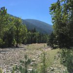
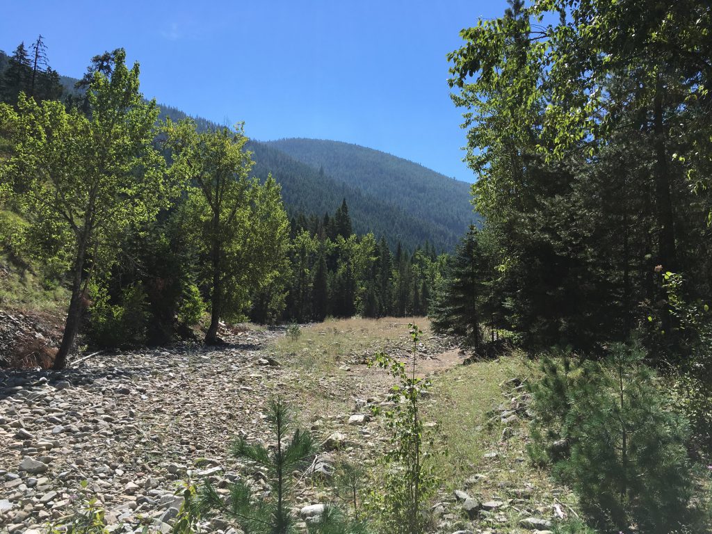
At some point the trail veered off to the right and when the creek bed reemerged, the water was gone. We had not filled up our bottles, so this perturbed me somewhat. I did not perturb the Scribe who intended to fill up at the confluence of the East and West Fork. That spot soon emerged, but consisted of nothing but a sea of white river rock. This did perturb the Scribe and we spent a fair amount of time looking for water, finding exactly none. With virtually no water left, the Scribe sent me up the path paralleling the East Fork. The trail was pleasant enough, an old forest service road that had washed out and degraded into a single track. The Scribe held out hope for Granite Creek, a tributary which promised year-around water according to the outdated map. I sensed that the Scribe was banking on two of his favorite strategies–hope and wishful thinking. We were indeed in trouble. Needless to say, Granite Creek was drier than the Gobi Desert.
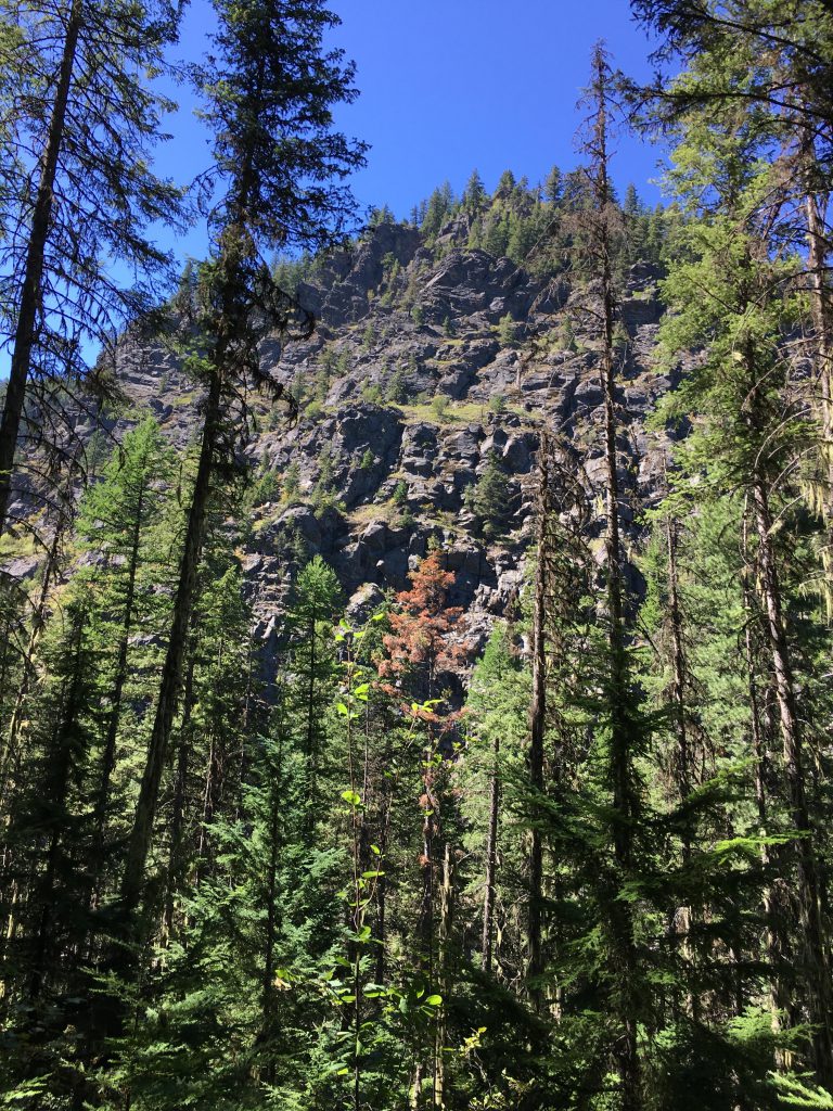
A short while after, we came across a sad little puddle, which he directed me to drink from. I passed, and so did he. We kept on going upstream, with the cliffs on the far bank towering high above us. Thanks to my superior olfactory organ, I found a more promising pond, fed via a tiny trickle seeping from under a large boulder. The Scribe guzzled half a gallon and filled every vessel we had, having proven once again that his strategies work. Well, the day wasn’t over yet. We continued on and discovered that Trout Creek was alive and kicking further upstream. So much for filling all our bottles! A fisherman, on his way downstream, told us that water would be quite abundant well into the headwaters of East Fork Trout Creek. We soon reached the crossing point, where the trail switched to the right side, and I treated myself to a well-deserved plunge.
Having so successfully employed his key strategies, the Scribe employed them again. The ascent to the state line ridge was utterly steep and we’d already covered well over ten miles that day, so weight was an issue. Not so much for me–my 1-liter bottle was still full–but the Scribe. There were three major tributaries that we’d cross on the way up, and he figured that if one of them had water, so would the others. Getting him up that mountain was like pulling teeth, though. Luckily for me, the area was rich in squirrel. The first tributary carried plenty of water, which I used to quench my thirst. The Scribe passed, hoping the second tributary would also carry water. Which it did, splendidly.
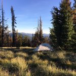
So the Scribe passed again, betting on the third, which happened to be bone dry. We’d also planned to spend the night there. With only 1.5 liters left, that didn’t seem like such as great idea. We kept on going. The Scribe called the hill brutal and relentless; trust me, it was a piece of cake. Talking of which, I don’t think I’ve had my dinner yet. But I digress. We finally made it to the ridge, but to our detriment realized that the Idaho side must have burned over the last couple of years, leaving the ridge covered with snags. We hiked on for a few more miles, until we found a reasonably safe spot outside the burn area to spend the night. We ate (finally!) and called it a night.
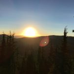
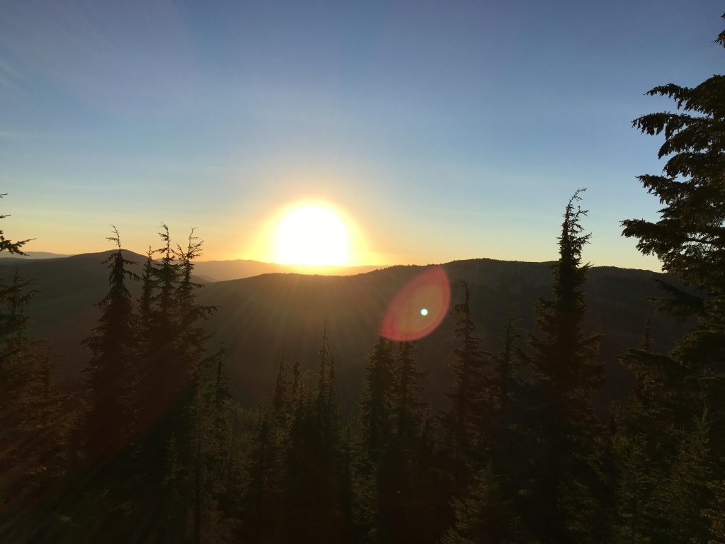
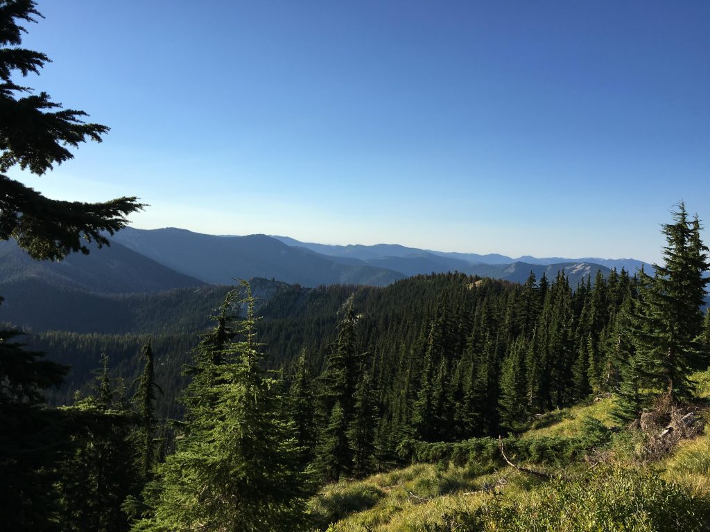
I let the Scribe sleep and so we woke early to a spectacular sunrise. The Scribe broke camp and gave me my breakfast, but didn’t eat anything himself. I wondered what the water situation looked like, but wasn’t too worried, because the Scribe carries this huge water bladder on his back, which is commonly referred to as the bottomless cauldron. A tube comes out of his pack, and he sucks on it all day long. Today, I didn’t see him sucking at all. But, I’d gotten my water for breakfast, so all was well. The trail led uphill slightly, straddling the ridge. The area was covered in huckleberry bushes, which the Scribe perused extensively. Particularly in shady areas the bushes were studded with berries. Soon we came to an overlook of East Lake, but the Scribe decided it was too far down to fetch water. Onward we went and tried to make a go of Berry Lake. The smell of water was strong, so I plowed through the brush. The Scribe, however, got hopelessly entangled, so we had to abandon Berry Lake. The trail emerged onto FR 430 soon after, about where the Attlebury Creek trail branches off. We followed FR 430 for some time until we came to the fork where Trout Creek NRT drops down to 93-Mile Lake. Back at the “lake”, the Scribe scooped another gallon out of the already exhausted reservoir, filtered it and made himself breakfast. He even gave me a second breakfast, a first! Then we crossed the talus slope that brought us back up to the state line and FR 430. From there we had an excellent view of the Lost Creek ridge and the hellish snag-covered saddle that we’d be crossing. On the way down FR 430, we scared a huckleberry picker, the third and last person we met on the trip. She mistook me for a giant bear (I can’t blame her for that. I do look intimidating). We filled our bottles again at the little oasis above the brutal saddle. The saddle, as it turned out, was worse than I’d remembered, despite the branches already trampled by our first go-around. The breath of the wind came hot and fiery up from the Eagle Creek drainage and squeezed the life out of us. The huckleberry bushes, stunted and low-growing, had yielded their crop weeks ago, and surrendered to the heat by turning blood red. I even forgot to chase squirrels. The relative cool of the forested ridge ahead indeed brought welcome relief.
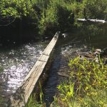
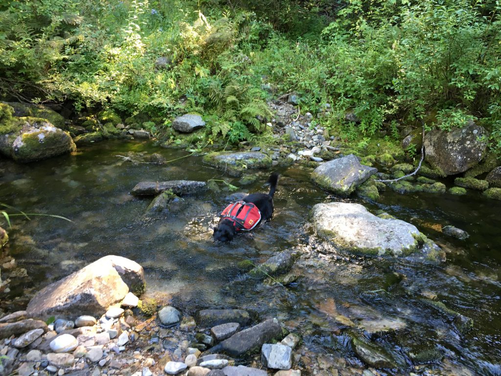
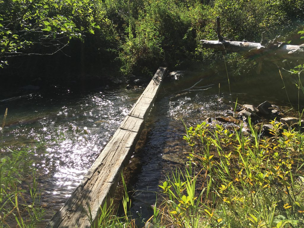
The descent was largely uneventful, but difficult due to fallen trees. As we came down the mountain, the tree-cover decreased, which meant fewer trunks to clamber over, but also exposed us completely to the relentlessly baking sun. I needed a creek and I needed it badly. I got it at the very bottom of the mountain, where I flung myself into the cool waters. The Scribe, you guessed it, took the bridge.
Alternate Routes
Things to Consider
Not so great