- Selkirk Mountains
- There is a campground near the trailhead
- Hughes Cabin, higher up, sleeps 4 and includes an outhouse
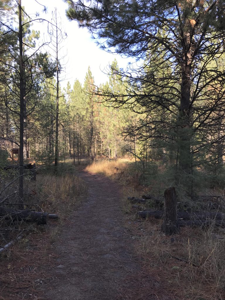
- The trails were in excellent shape.
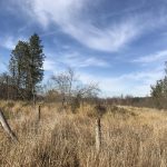
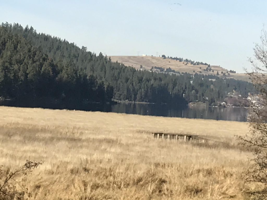
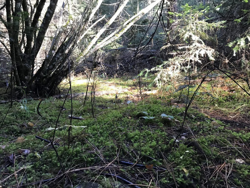
From the parking lot, the trail turns away from the beach and lake to the west and heads south across an extensive lawn, sprinkled with facilities, including gazebos and restrooms. At the end of the lawn the trail emerges onto the campground, which it bisects. A trailmap is posted near the end of the campground. The trail then parallels a marshy area for about a mile, with informative placards explaining the evolution of the creek delta and the work of the busy beavers.
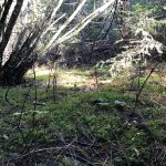
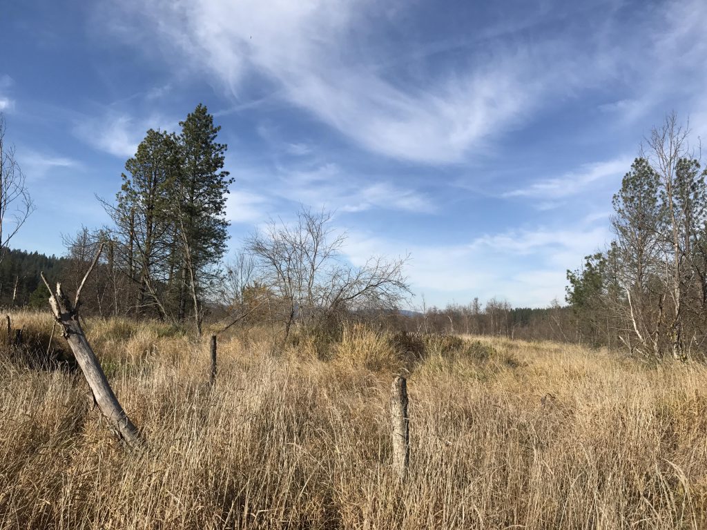
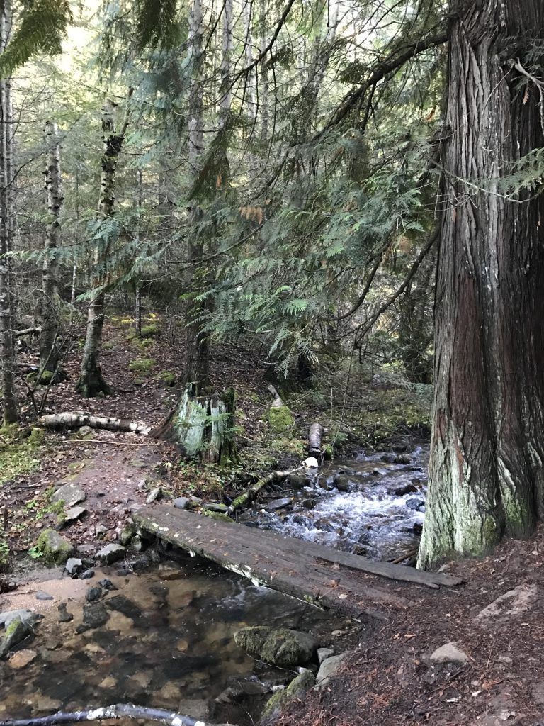
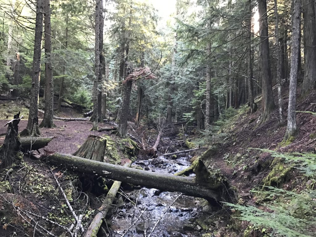
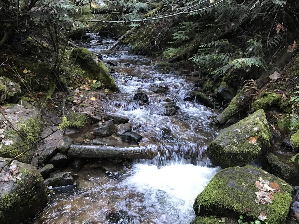
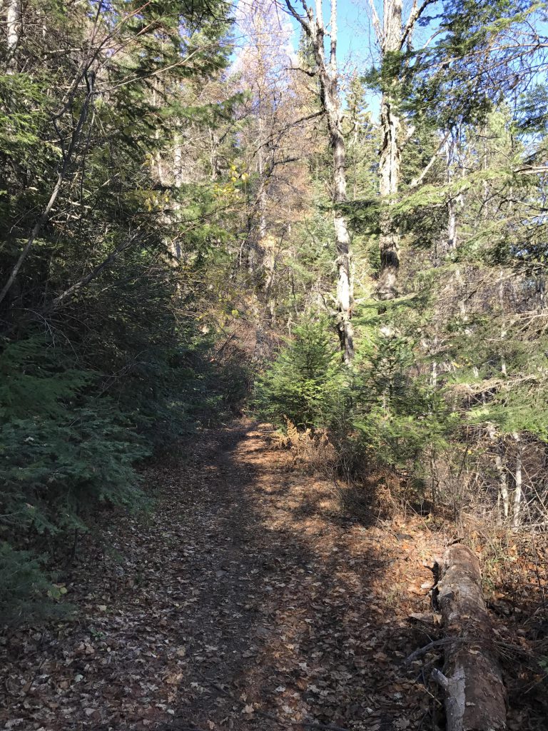
The trail then splits; bear left and enter the forested area. The trail now closely follows Liberty Creek, climbing steadily but not steeply. At the first bridge you get a choice of either ascending on the East or West bank; the choice is yours as the trails will reunite shortly before reaching the cedar grove.
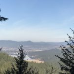
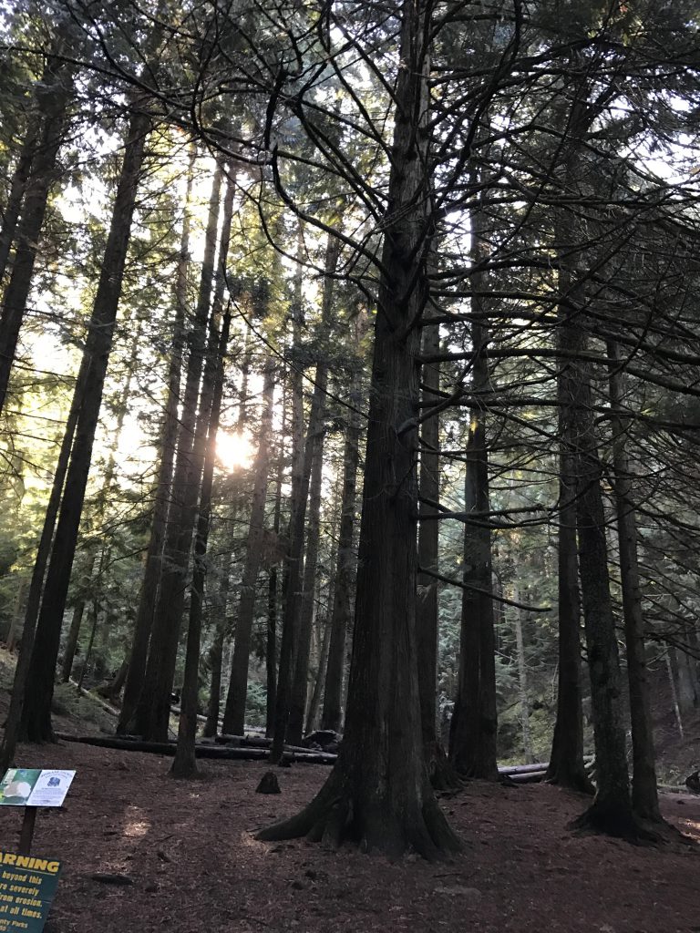
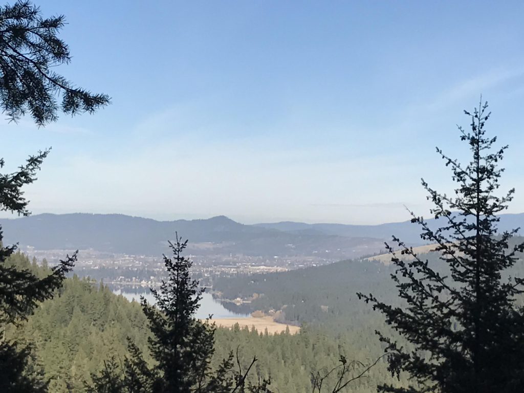
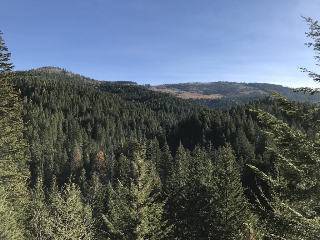
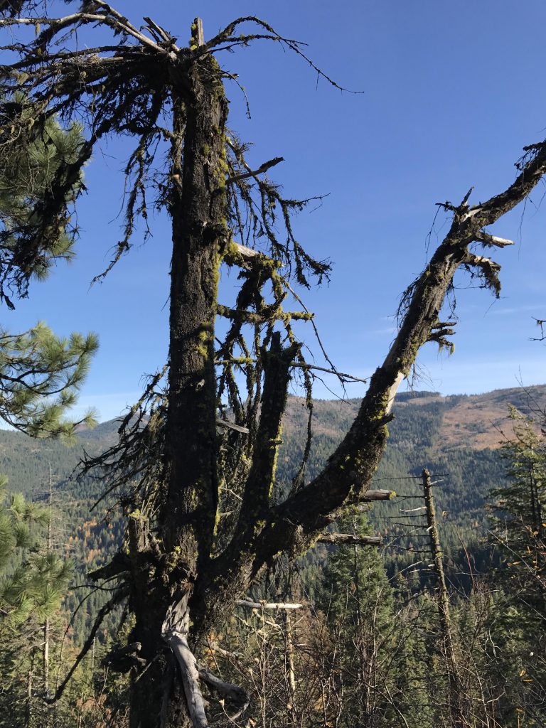
At the cedar grove the trail crosses Liberty Creek and ascends the steep flank of Mica Peak in countless switchbacks. The last one of those switchbacks (around the 3-mile mark) offer views of Liberty Lake and the city beyond and this is essentially the only time such views are offered.
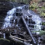
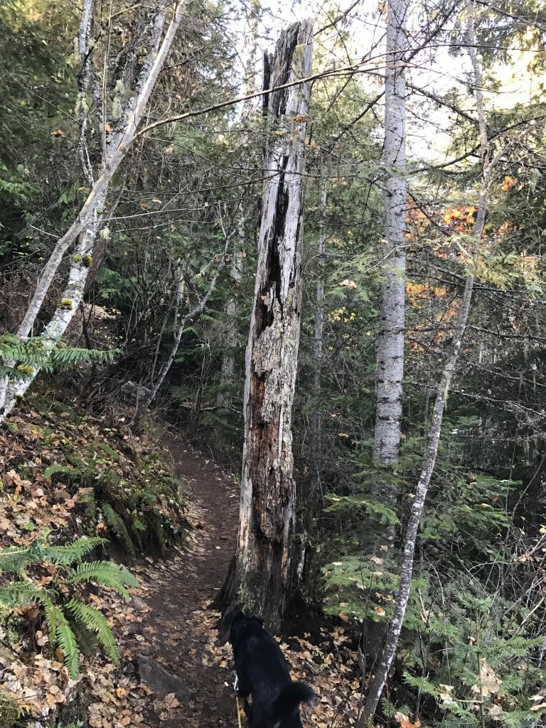
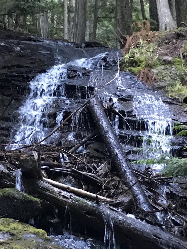
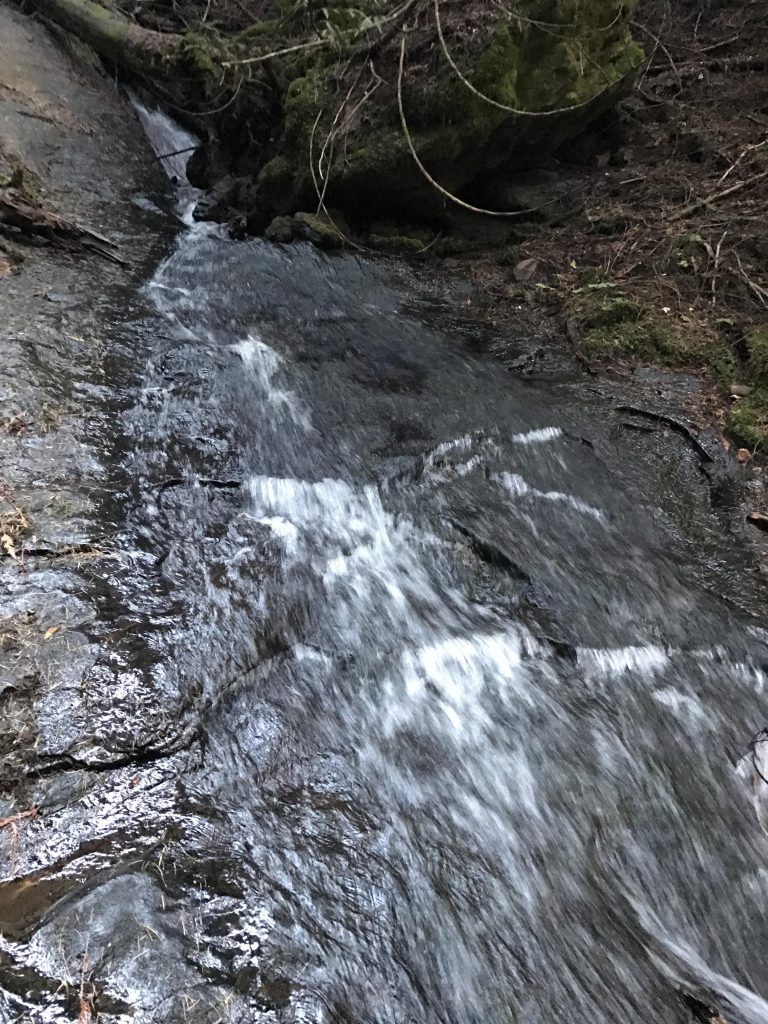
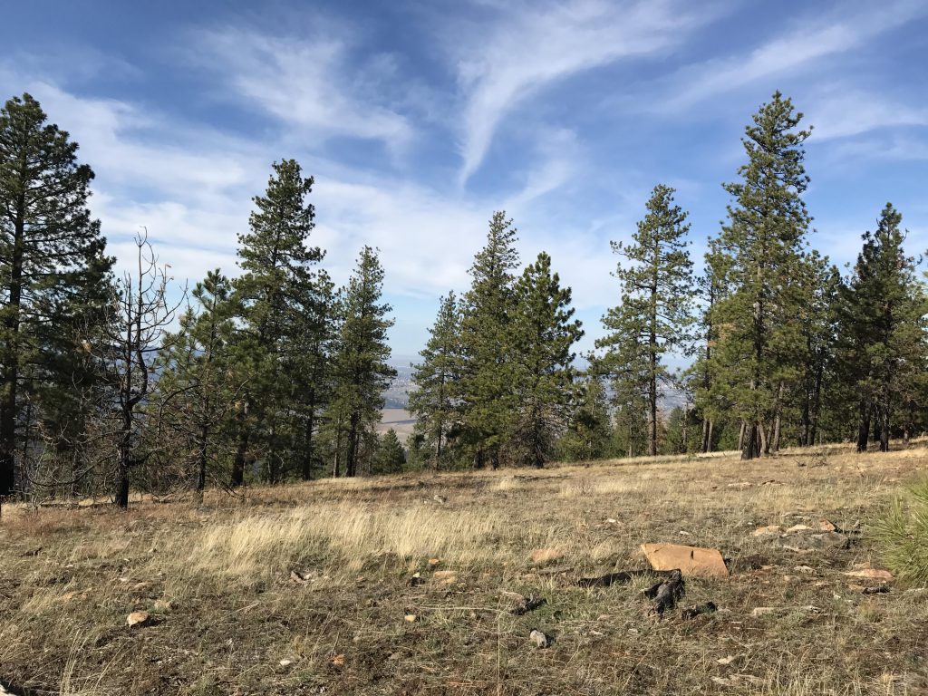
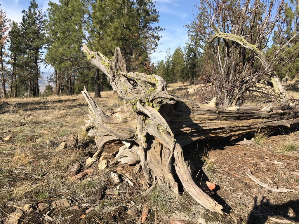
The trail levels off and hugs the hillside closely, with the tree canopy occasionally opening up enough to allow views of the Idaho mountains across the valley. The climb continues at a more gradual pace, and the trail weaves in and out of smaller canyons, some exceedingly dark and shady and almost forlorn. One of them surprises with a waterfall sliding down a sheer rock slab, and, after a steep climb, offers several repeats higher up. Eventually the trail emerges onto an intersection.

At the intersection go straight (left leads to “More Trails”, meaning former logging roads, right leads back to the trailhead for a shorter 7-8 mile hike); straight leads higher and to an outhouse. To the right, a short way downhill, is Hughes Cabin, equipped with cots if you’re in need of a quick nap. Turn left, however, and uphill, steeply and without the aid of switchbacks. The trail gains over 300 feet in altitude in very short order and then emerges onto a decommissioned logging road (take a right), which it follows pleasantly and almost levelly to the saddle below Mica Peak (around the 6-mile mark).
Here you have the option to go south and take on the steep climb to Mica Peak. Otherwise, head north and take the trail dropping into the valley below (not the jeep road that straddles the ridge). The downhill run is rather uneventful and fairly steep in places. At the bottom the trail splits. You can try to go directly across the marsh, but depending on the water level this may not be possible. The safer route loops back south along Liberty Creek for a bit, ultimately crossing it by means of a nice wooden bridge. Shortly afterwards the trail reunites with the outgoing trail and all that’s left is a mile back to the parking lot.
Alternate Routes
Things to Consider
Not so great