Lake Wenatchee State Park covers almost 500 wooded acres along the eastern shore of Lake Wenatchee near the outlet. Open year-around, the park’s activities include camping (almost 100 sites), swimming, horseback riding (for rent), biking, kayaking (for rent), cross-country skiing, and, of course, hiking. This loop meanders through the northern section of the park, along the lake’s shore and a short distance next to the Wenatchee River.
| Location | Elsewhere |
| Rating | 3.2 out of 5 |
| Difficulty | Easy |
| Distance | 3.5 miles |
| Duration | 1:08 hours moving time (hiking) |
| Elevation Gain | 178 feet |
| High Point | 2,029 feet |
| Low Point | 1,761 feet |
| Trail Type | Loop |
| Trailbed | Packed dirt, wood chips |
| Water | Potable water at campground |
| Status | State Park |
| Administration | Washington State Parks and Recreation |
| Conditions | Excellent |
| Permits | Discover Pass; during winter months Sno Park permit |
| Camping | At campground |
| Maps | USGS Plain |
| Trailhead | From Leavenworth, take US-2 north for 15 miles, then turn right onto WA-207. After 4.5 miles turn left into the North Lake Wenatchee State Park (about a mile north of the South section).
Google Directions (47.811554, -120.719874) |
| Season | Year-around |
| Squirrel Density | Dogs must be leashed |
| Features | Lake |
| Distance From |
|
| Resources | |
| Date | September 17, 2017 |
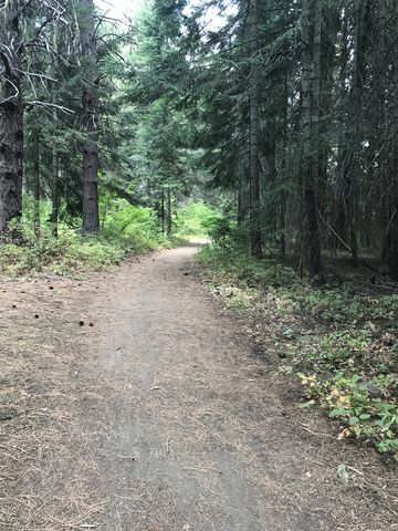
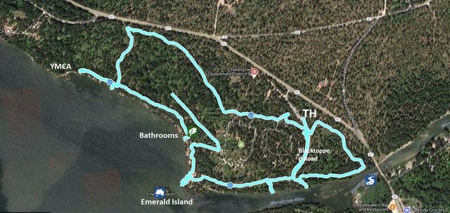
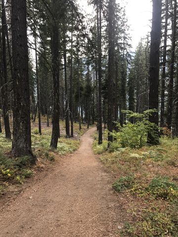 For a counterclockwise hike, start out at the park office in the northern section of the park (there is parking just after you enter the park) and hike on the blacktopped road westwards past the dump station. After about a quarter mile the blacktopped road will sharply turn south to Campsite Loop 2; keep going straight at that point on a pleasantly wide singletrack leading into the woods. After another half mile, the trail moves south at a somewhat confusing fork; however, going straight gets you to a park boundary sign. The trail gradually climbs a small hill and drops down steeply on the far side to the lakeshore.
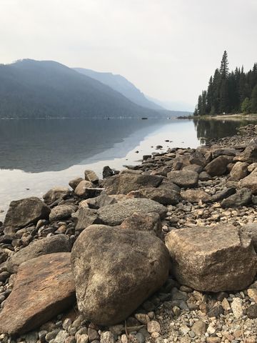
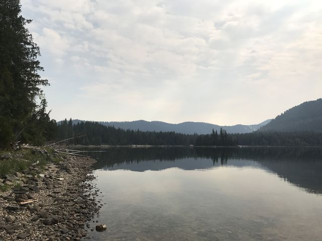
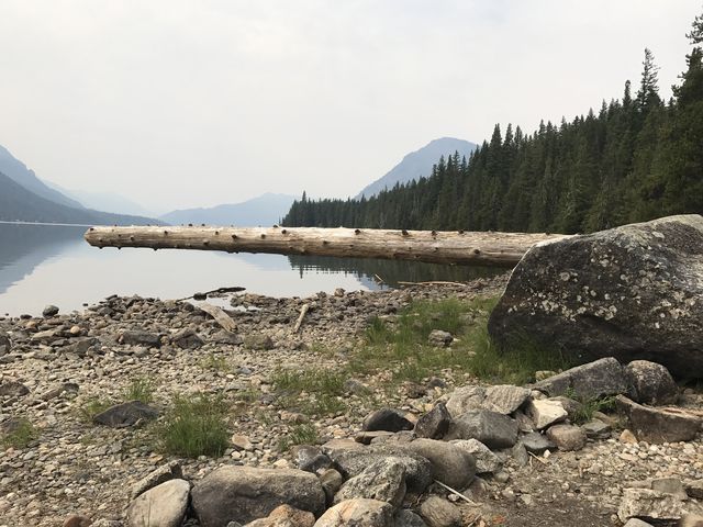
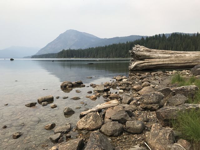
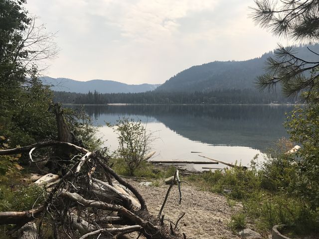 The lakeshore is picturesque, in some places sandy or gravelly and others river-rock covered, littered with driftwood, and ringed by dark-green fir forest. The view is splendid across the lake (Nason Ridge) and to the west and into the Cascades (Wenatchee Ridge, Dirtyface Mountain). Alas, wildfire smoke created a haze in the distance.
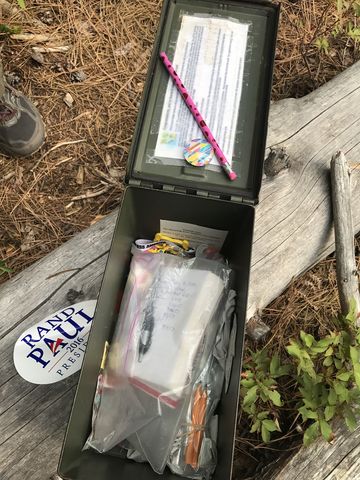
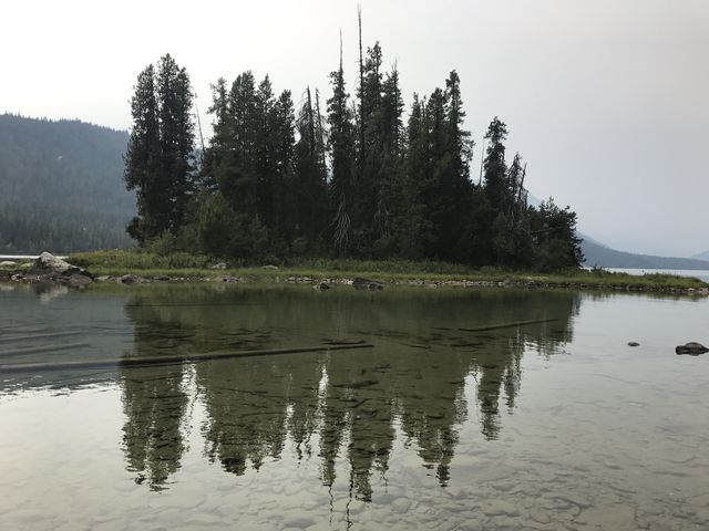 A short spur leads westwards to the park’s boundary and a YMCA camp. If you’re into geocaching you’ll be able to locate a treasure along this stretch. Heading east, the trail hugs the lakeshore closely and spills out onto a day-use area, complete with bathroom, sandy beach and views of Emerald Island squatting near the lake’s outlet.
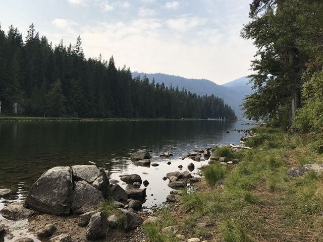 The trail then re-enters the woods and moves along the Wenatchee river. Unfortunately, views of the river are frequently blocked by thick timber, a shortcoming that is overcome by a number of short trails heading down to the riverfront. After half a mile from the day-use area the trail shifts away from the river and heads northwest on a thick carpet of woodchips, eventually curling around and returning to the park’s entrance.
Enjoy this hike? Let us know in the comments below!




Alternate Routes
- Another hiking loop and interpretive trail is in the South section of the park
Things to Consider
- The park is divided into a northern and southern section, both featuring camping, but the northern section is closed during the winter months. Facilities include a store, kayak/canoe/paddleboard rental, hot showers, dump station, picnic shelters, boat launch, guided horseback rides, and 30-plus miles of groomed cross-country ski trails during the winter.
© 2016 – 2017 NaughtyHiker. All rights reserved. No duplication without permission.