Killarney Mountain

The Killarney Mountain trail isn’t much of a hike during summer months, since most of the route follows well-established forest service roads. During the winter months, however, the area south of the freeway is off-limits to motorized traffic, resulting in an snowshoe trek par excellence!
Location
  • Coeur d’Alene Mountains
Rating
2.7 out of 5
Difficulty
Moderate (some incline)
Distance
7.8 miles
Duration
2:31 hours moving time (Snowshoeing)
Elevation Gain
1,094 feet
High Point
3,917 feet (Killarney Mountain)
Low Point
3,124 feet (Trailhead)
Features
  • Mountain
  • Structure
  • Outing Type
  • Daytrip
  • Trail Type
  • Out-and-back
  • Trailbed
    Gravel road, dirt road, packed dirt
    Trail#
    Water
  • None, but there should be plenty of snow…
  • Camping
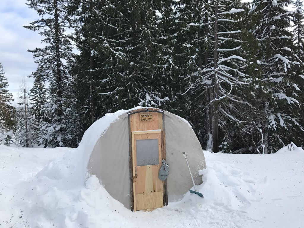
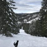
    • There is a warming tent about a mile into the hike.
    Conditions
    • Excellent
    Administration
  • Coeur d’Alene National Forest
  • Status
  • Unprotected
  • Maps
    USGS
  • Lane
  • Fees & Permits
  • None required
  • (Park n Ski Permit required for parking during winter months)
    Open To
  • Hikers
  • Dogs
  • Horses
  • Mountain Bikers
  • ( Phenomenal!)
    Directions
  • Take I-90 exit #28 (Fourth of July Recreation Area) and head south for half a mile. You can either park on Lakes Divide Road or follow the lower road to the ski trailhead (which comes with restrooms).
  • Season
    Year-around
    Date
    January 24, 2016

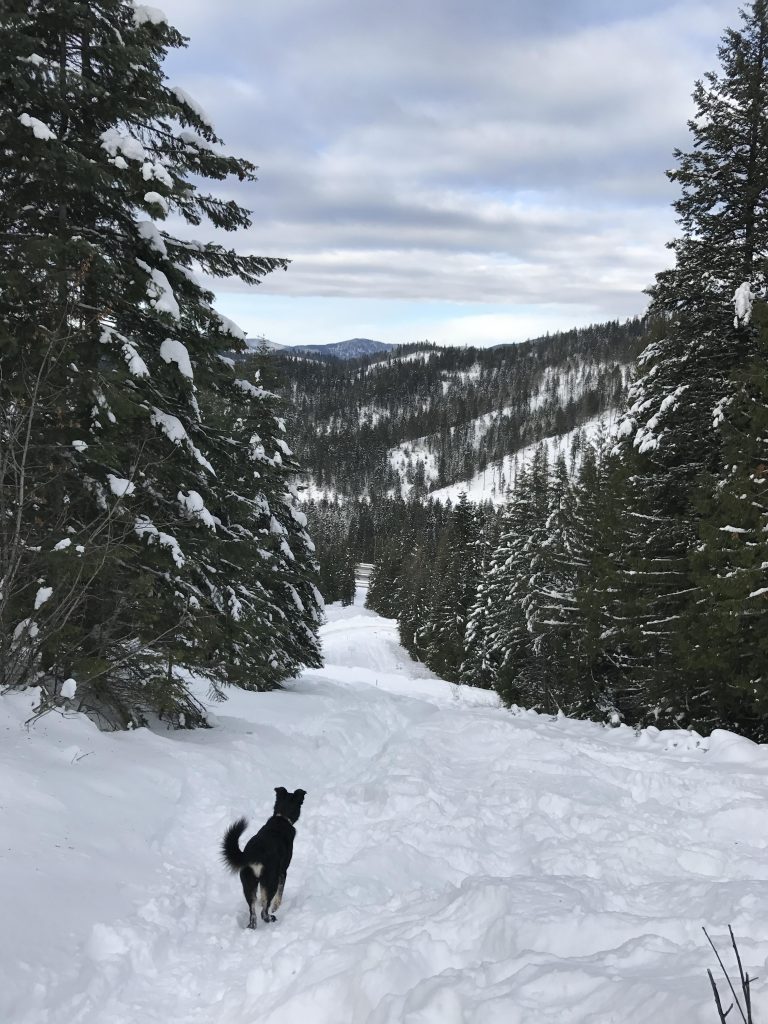
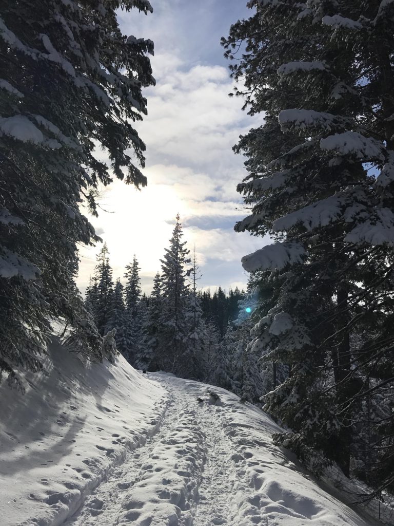
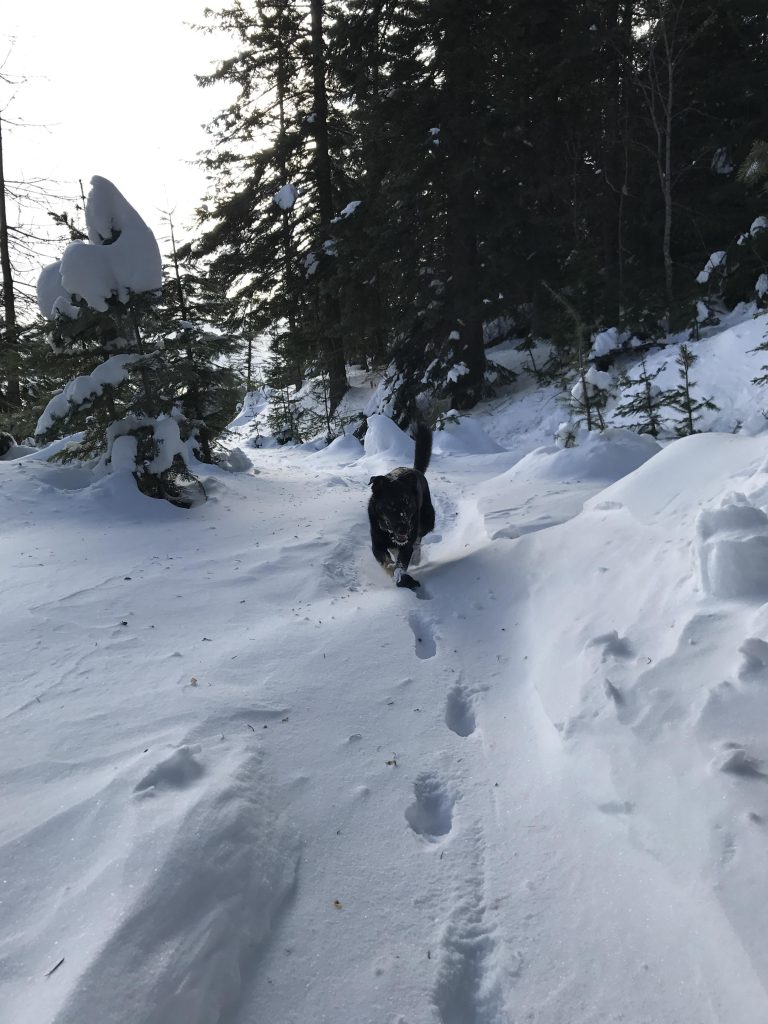
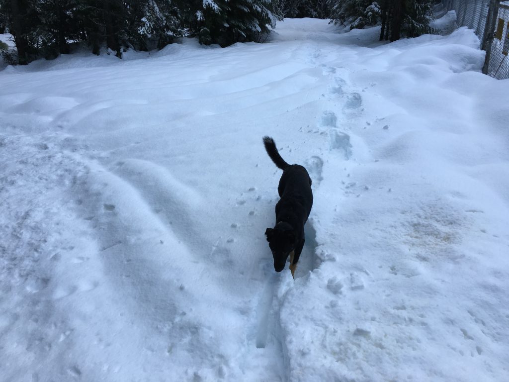
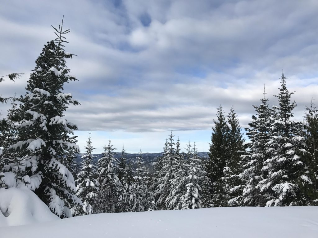
    The trail starts out on Lakes Divide Road, which soon crosses a pipeline easement. Follow the pipeline easement straight up; this will get the heart rate going and warm you up. Take a right on the logging road above (alternatively, continue on Lakes Divide Road and take a left at the large parking area a few hundred yards uphill). Soon you get to an intersection; going right would lead back to Lakes Divide Road, which is called Skywalker during the winter :). Instead, take a left and follow the trail (called Twisted Klister) uphill to the saddle (there is one additional intersection along the way; bear right).

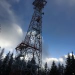
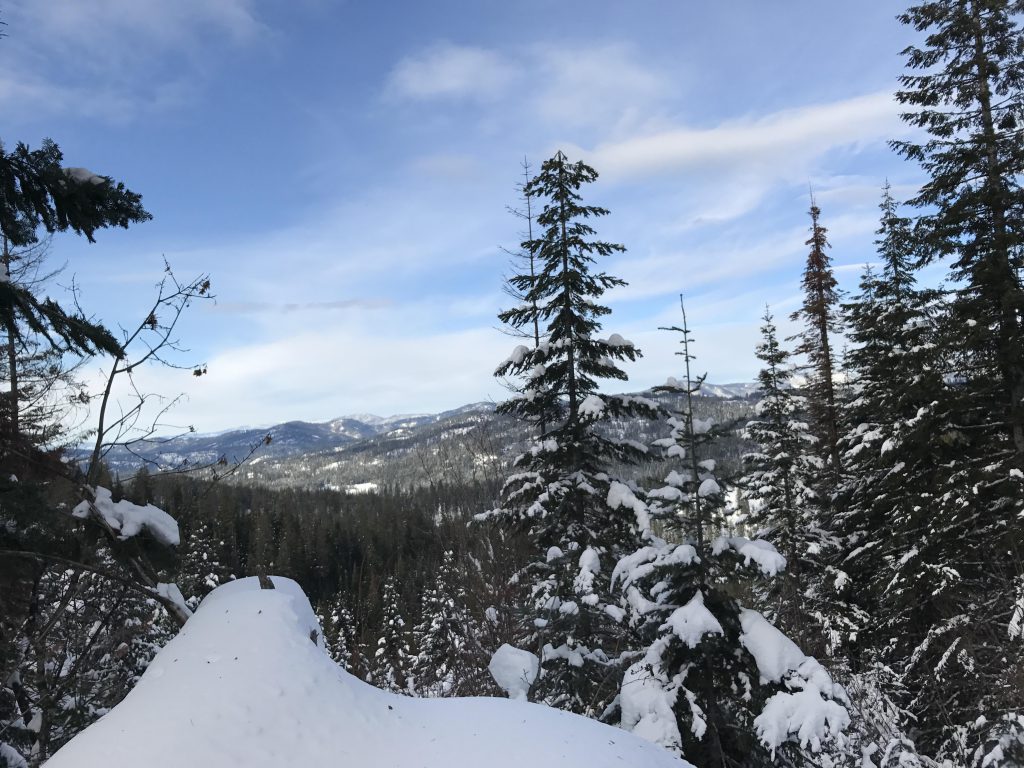
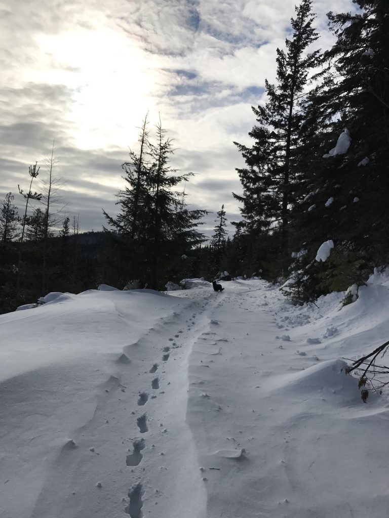
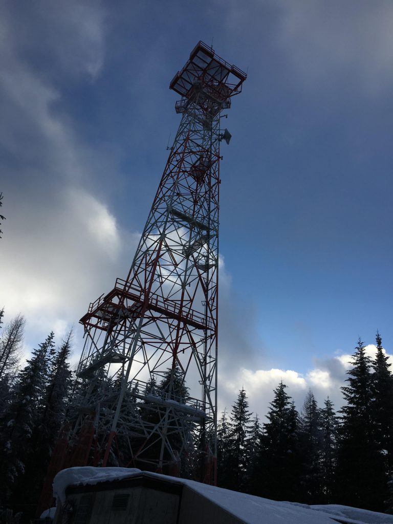
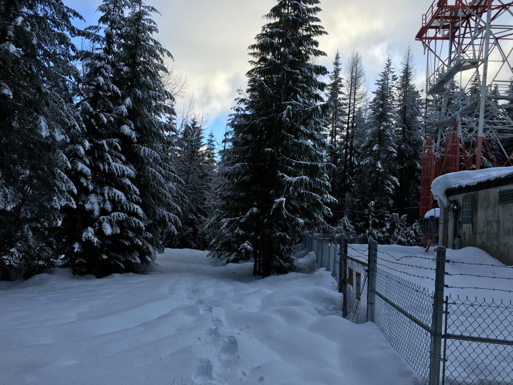
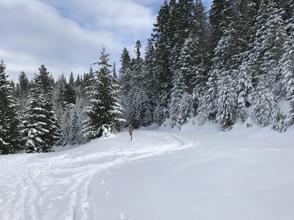
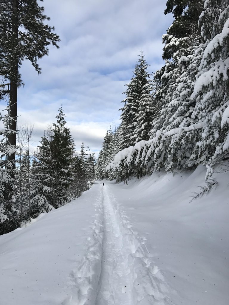
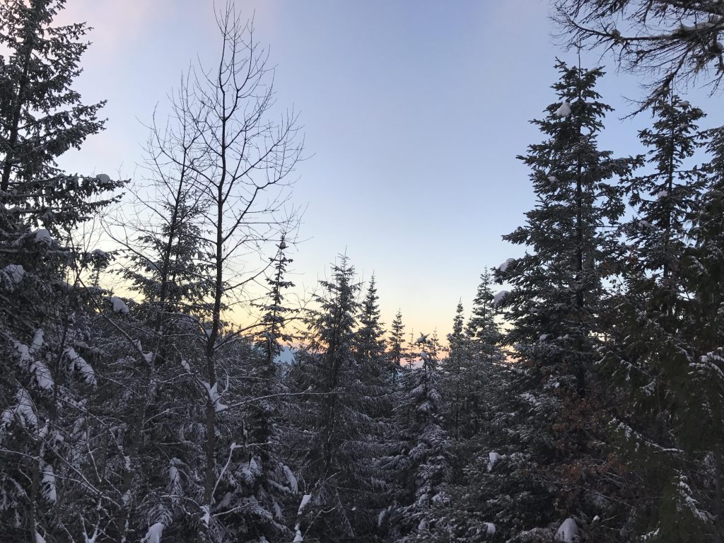
    At the saddle you will typically find a warming hut during the winter months. This is also a major intersection. Going right leads back to Skywalker. Going left drops sharply downhill. Choose the middle road, which is the one with the tank traps; it is called Making Tracks. After just a short while you come to a Y. You could go either way, but going right is nicer when snowshoeing (on skis go straight). This will climb up to the ridge, followed by an equal descent on the other side. Back on Making Tracks, keep going south until the trail meets up with Skywalker again; only it’s now called Moonwalker. Bear right for a bit at first, and then go left. Keep going on Moonwalker until you meet the Y to Killarney Mountain. It isn’t marked, but the Killarney Mountain road is barred by a metal gate on the left (it’s around the 3-mile mark). From here it’s uphill on a wide forest road, which seems to curl around the mountain. You’ll know you’re at the top when you’re at the tower. You can keep going a bit further up into the woods, but there really isn’t much of a view.

    Alternate Routes

    • For variety, stay on Moonwalker/Skywalker on the way back

    Things to Consider

      Not so great

        Looking down gas pipline easement. A fun downhill run.
        View from Twisted Klister
        Twisted Klister trail
        Warming tent (“Geoff’s Chalet”)
        Naughty making tracks on Making Tracks trail
        A clearing on Making Tracks
        Killarney Mountain tower
        Base of tower
        It’s so much easier to walk in someone else’s tracks!
        View from Skywalker (that’s the sun, not a forest fire!)
        Junction of Skywalker and Twisted Klister
        Connector trail from Skywalker to warming tent
        Broad view from Making Tracks
        View from Skywalker