- Cabinet Mountains
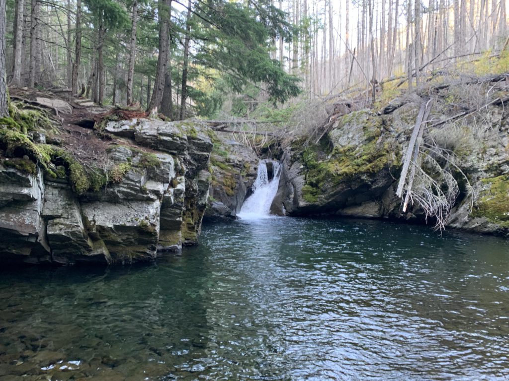
- Granite Creek waterfall
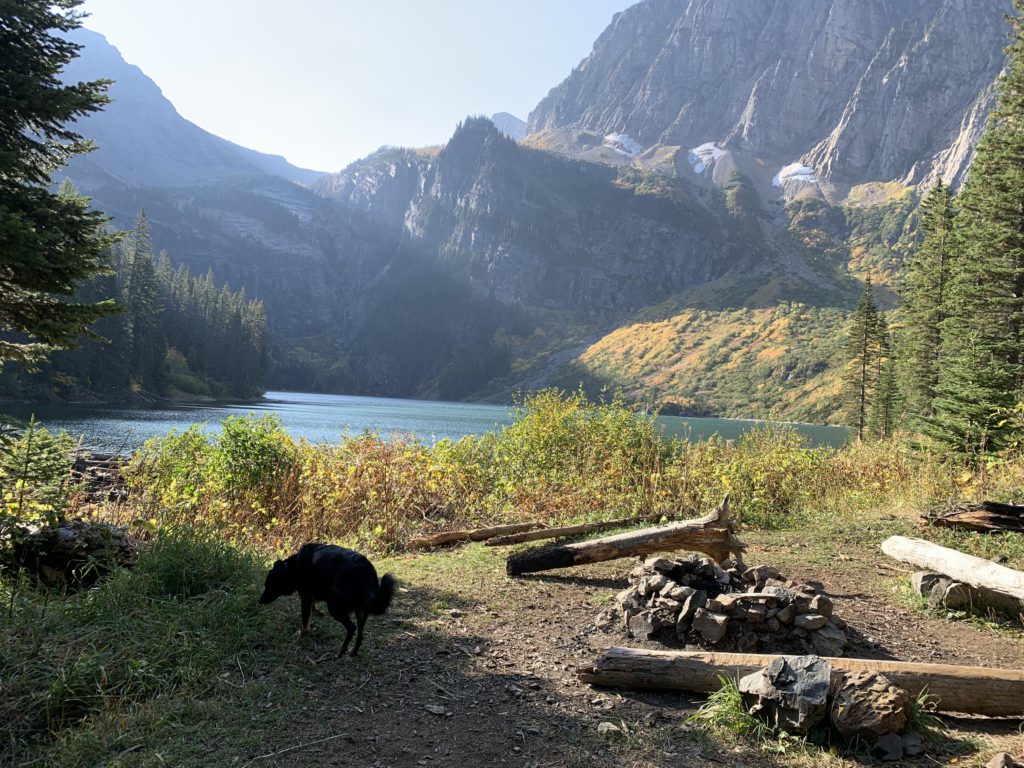
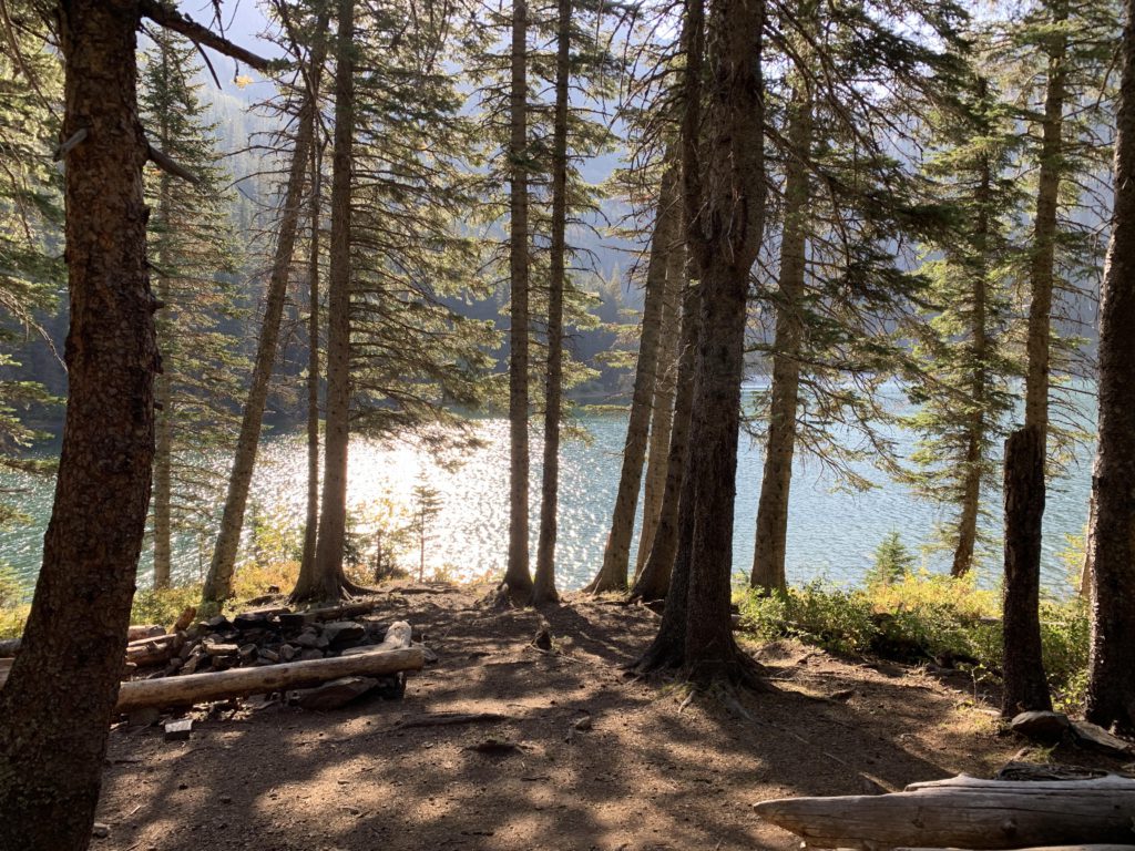
- Granite Lake (at least 3 sites)
- Good. Creek crossings could be problematic earlier in the year.
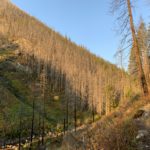
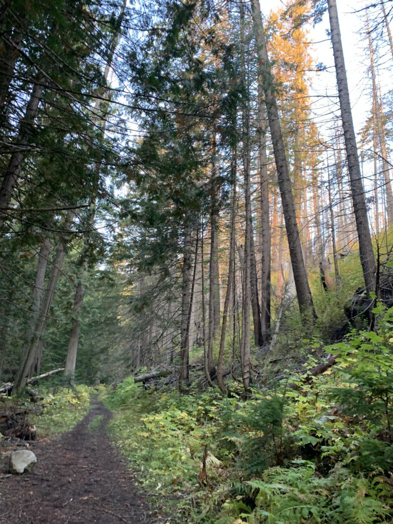
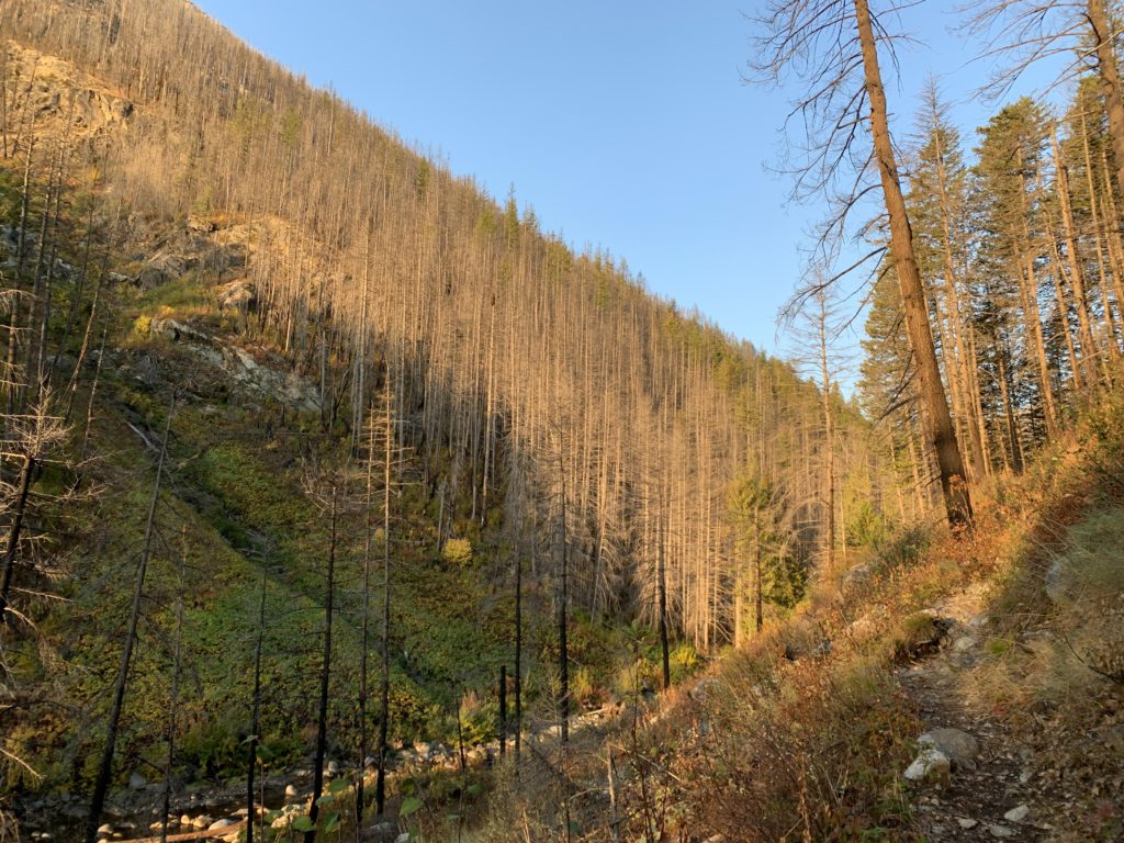
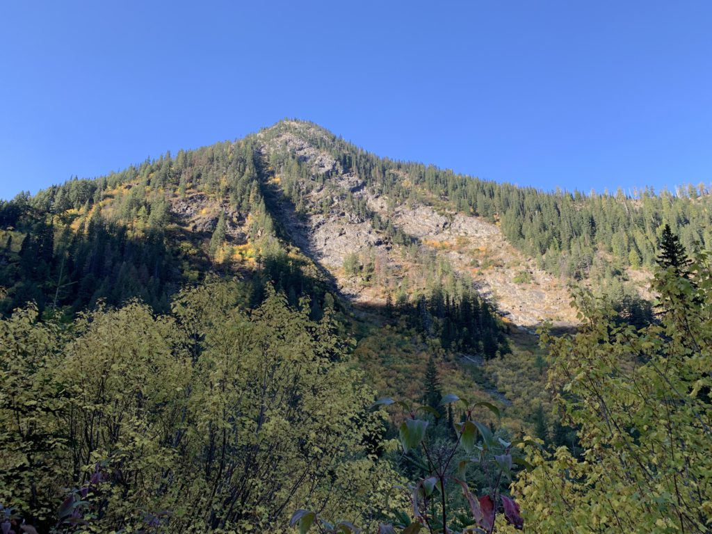
Having read of harrowing trail conditions along this hike following the 2015 Klatawa fire, we’d postponed this hike for too long. As it it turns out, trail conditions were just fine. From the spacious parking lot, the trail starts out on an old forest road (the continuation of #618) to a secondary trailhead and signage in a quarter mile. Paralleling the creek, this early part is nicely shaded and little impacted by the fire. Soon after the trail signage, the twin-track ends and the trail starts to climb a bit above the creek. Here, the impact of the fire becomes more obvious, though many of the trees appear to have survived, with the underbrush decimated. However, as you peak up the hillsides of Mount Snowy, the extent of the devastation does become obvious.
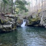
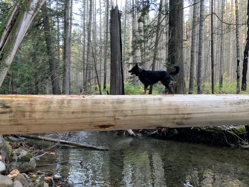
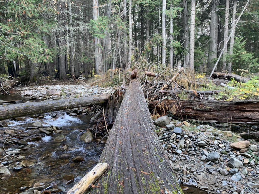
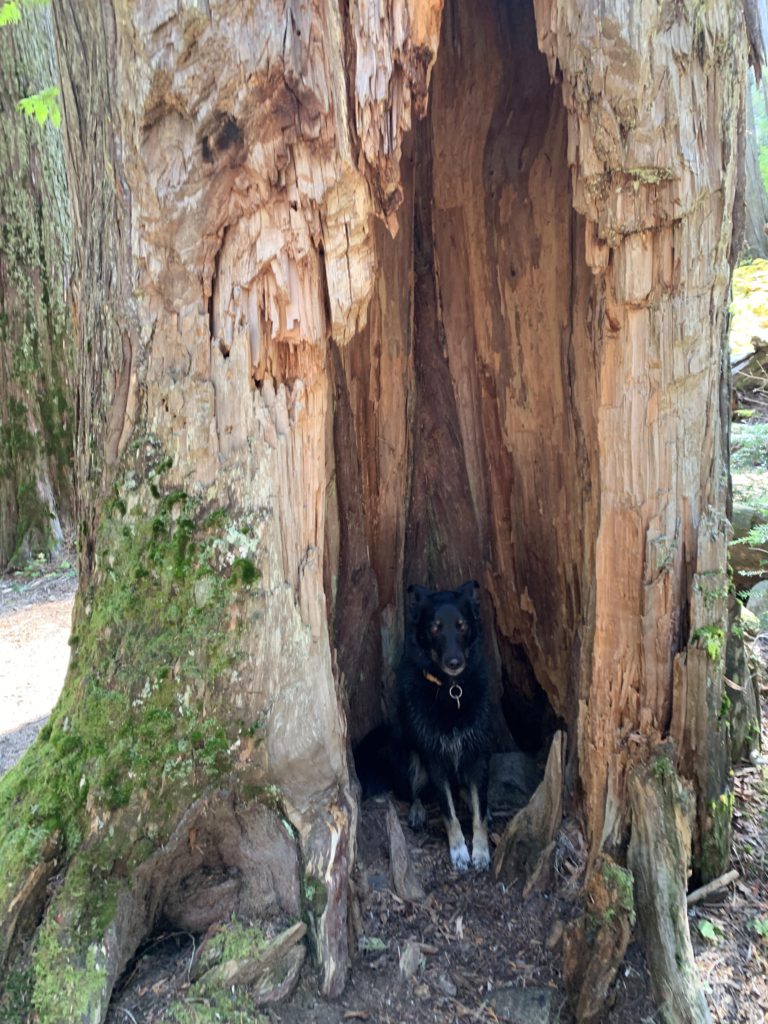
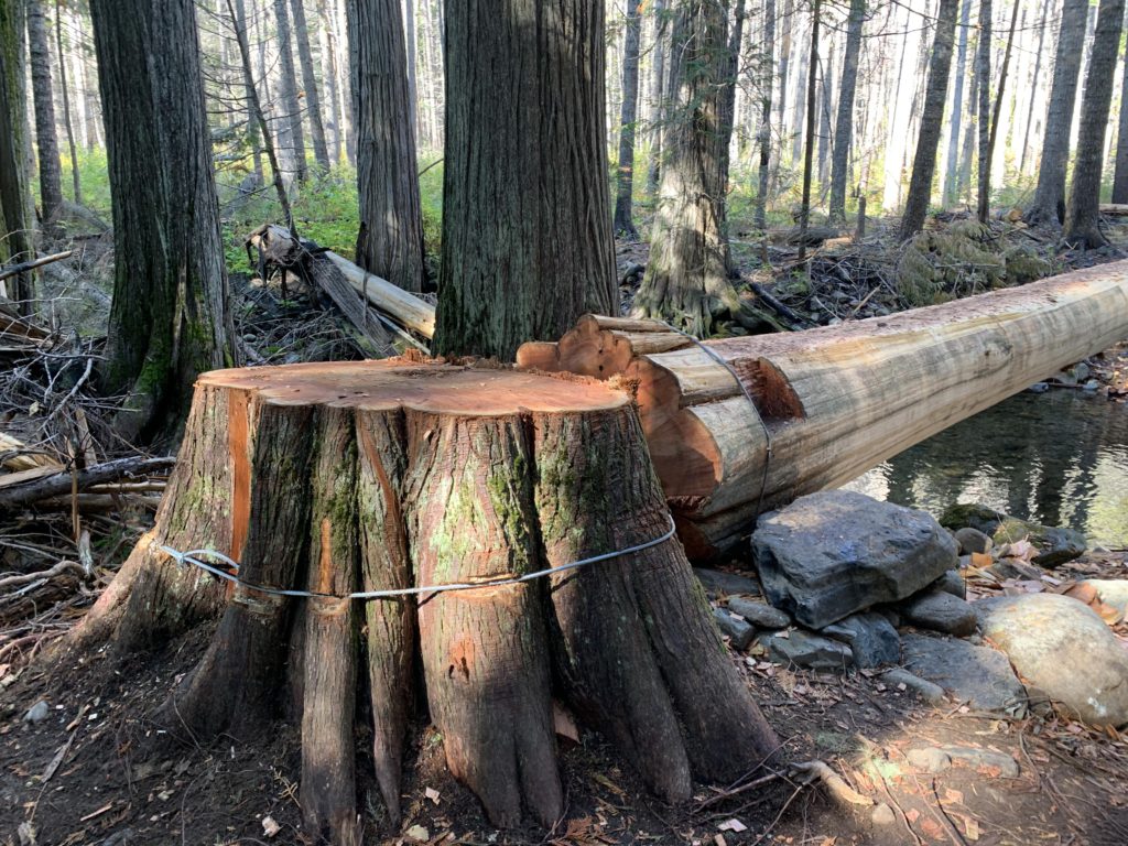
The climb on these first few miles is relatively gradual, but the trail does rise and fall every so often as it re-approaches the creek. The first of four creek crossing has been rerouted from the 2-mile marker about a half mile further west, just inside the Wilderness boundary. A dead cedar was expertly felled across the creek, peeled, flattened, and anchored (inside the Wilderness = no chainsaws!!). This fancy bridge likely translates into dry feet any time of the year. Shortly after the crossing you come upon Granite Creek Falls, which make this trip worthwhile on their own. There is a pretty and spacious campsite and the catch basin beneath the falls just begs to be swum in (Naughty didn’t need much convincing). The trail then follows the creek closely, with the next fording just past the three-mile marker. Several trees act as bridges, but one particularly large cedar is the standout conveyance in this spot.
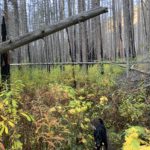
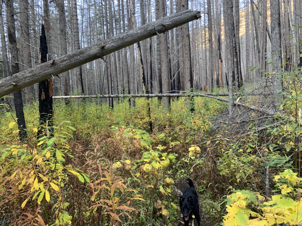
On the northern side the trail quickly enters the 2015 burn. Plenty of snags remain standing and the brush is easily head-high. The young saplings are mostly still quite small, perhaps a foot high. The trail was cleared out recently, though, and we had no problems following it, despite the many thimbleberry thickets. Just ahead of Contact Creek, the trail crosses for the third time, near the 4-mile mark, and this time 2 small logs are all the aid you get. This late in the year that was plenty, but in early summer this fording likely is a difficult undertaking.
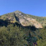
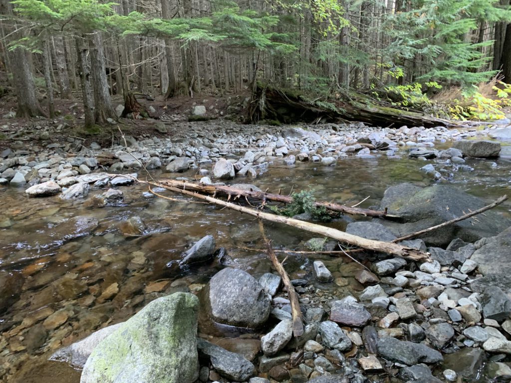
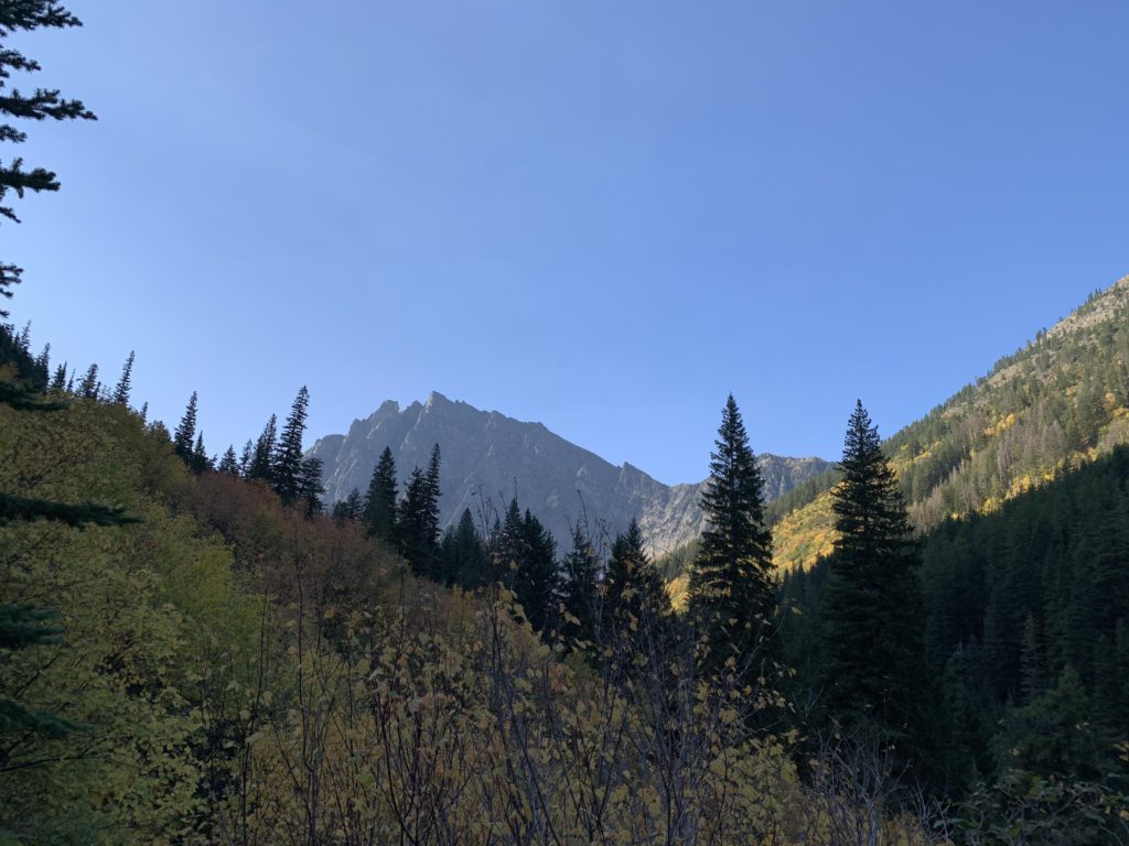
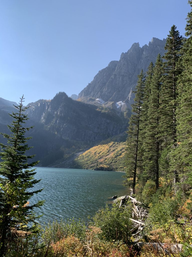
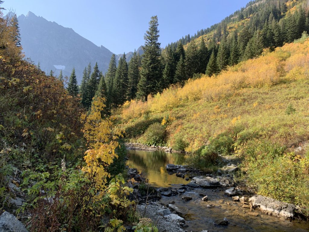
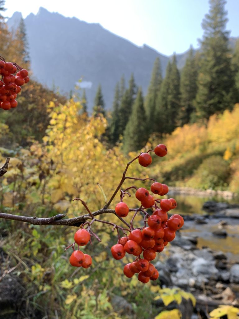
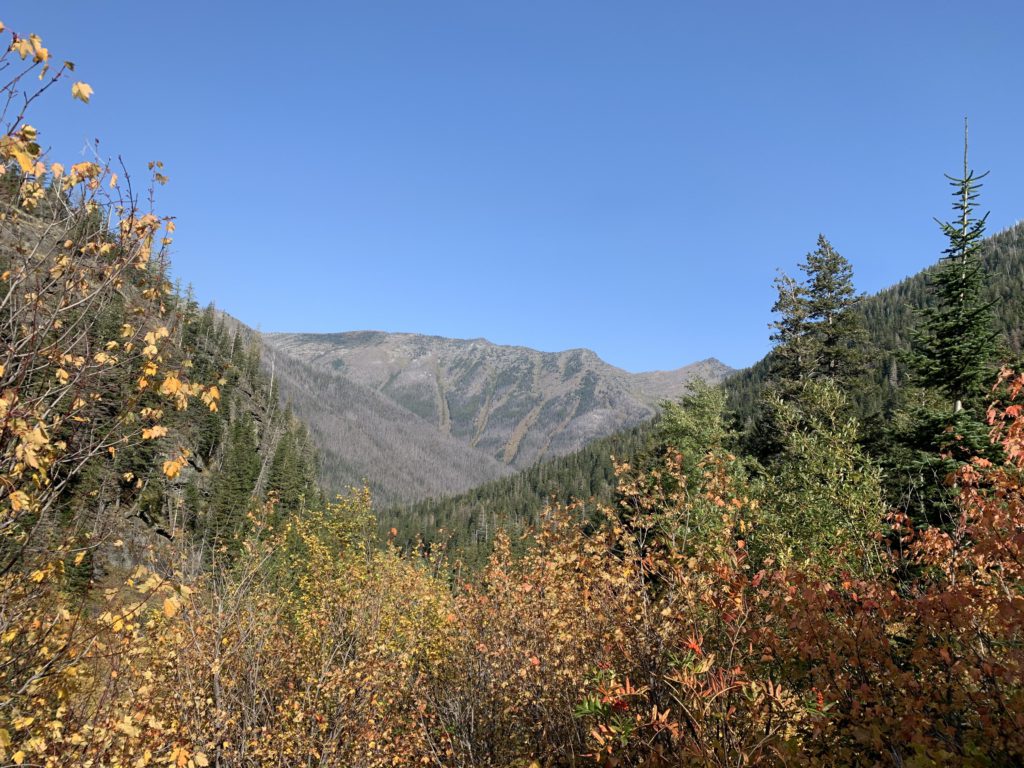
The south side escaped the burn unscathed, and thankfully so, as it is a most beautiful and lush cedar forest, smothered in mosses and ferns. It wasn’t hot when we hiked, but in full summer heat this place must be quite the reprieve! As the lush forest retreats, the majestic might of Houser Peak comes into view. The trail continues southwards through sheer endless expanses of tall mountain ash and skips in and out of small slices of forest. It also climbs more steeply now and suddenly the craggy outline of A Peak comes into view. Incredible! Its silhouette remains anchored on the horizon as you approach the last crossing near the five-mile mark–a mere rock-hop in October.
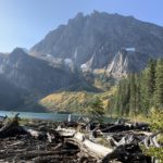
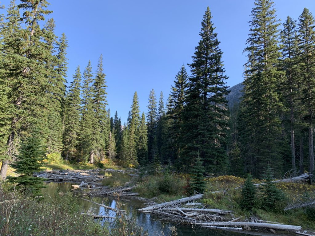
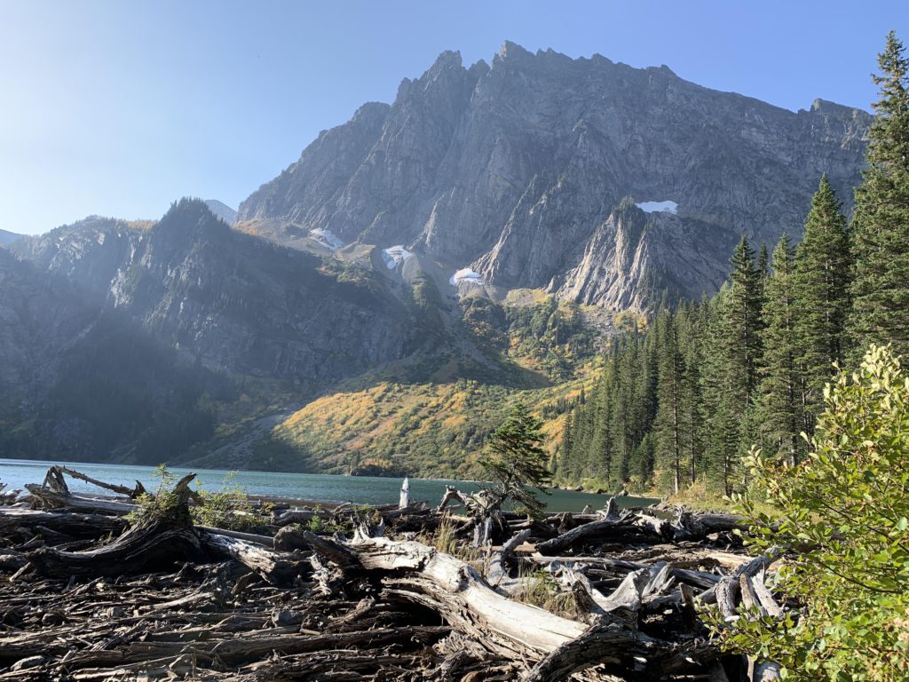
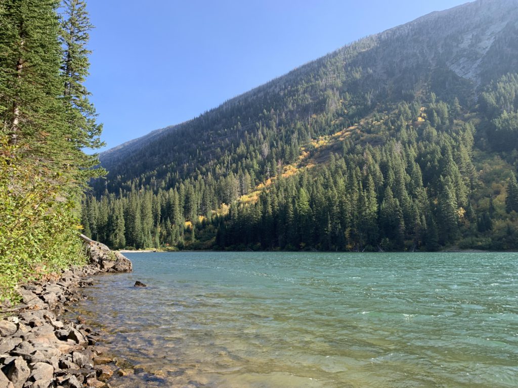
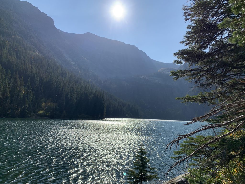
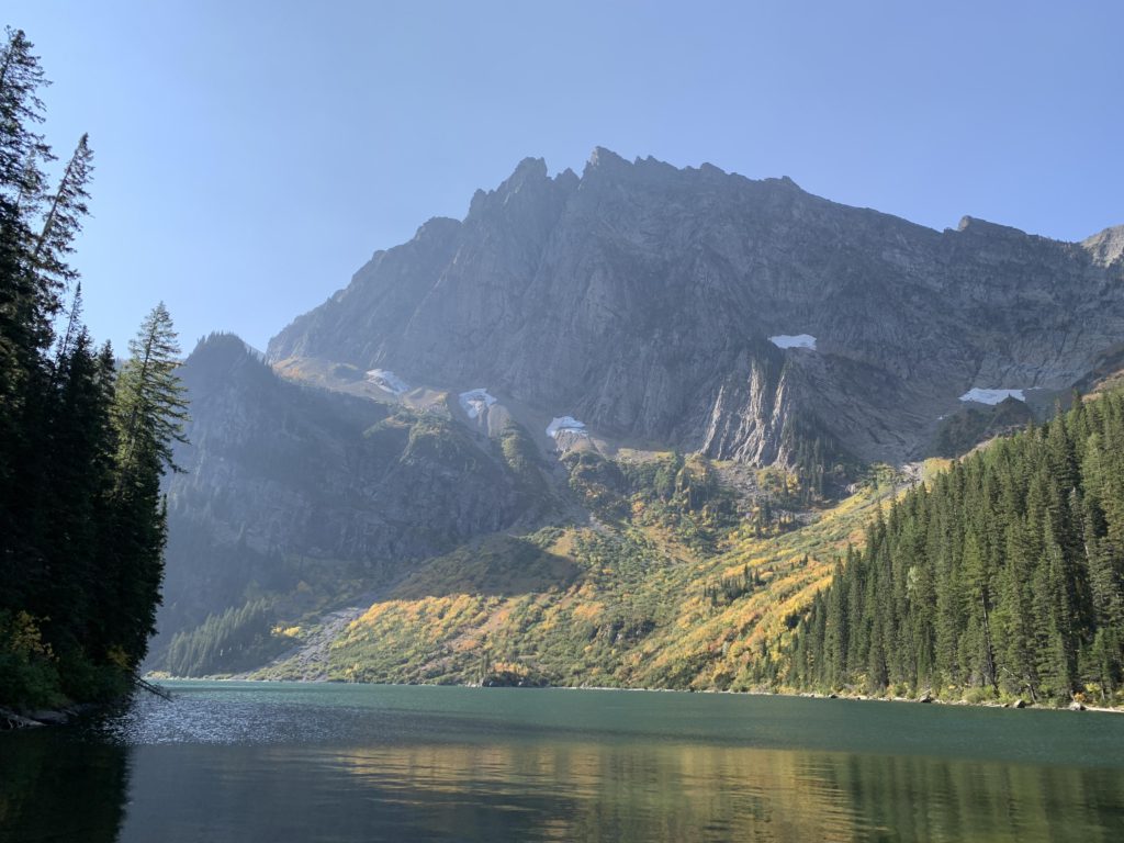
Once again on the northside, the trail parallels the creek closely and offers broad views up the golden-colored flanks of Houser Peak and the string of pools, favored by moose, that make up Granite Creek on approach to the lake. The lake is fully dominated by A Peak, looming majestically over the lake, particularly when you look up from the eastern shore. At the far end is the seemingly endless waterfall emerging from (invisible) Blackwell Glacier up high on the flanks of Snowshow Peak. Hiking along the lake may be possible; we explored the western side where a faint angler trail quickly peters out. The best bet to approach the falls is probably along the eastern shore. Several campsites are available, though they may fill up quickly on weekends as this is one of the more popular hikes in the Cabinets.
Alternate Routes
- Some hiking books recommend a climb to Vimy Ridge. This must be a most awful bushwhack and I’m not sure whether the view is that much better from there, particularly if you’re after Blackwell Glacier. For views of Blackwell your best bet is likely an ascent from Leigh Lake (no brush); to the ridge beneath Bockman Peak Leigh Lake lies just to the south of Granite Lake.
Things to Consider
Not so great