- Selkirk Mountains
- None; stay on trails
- Excellent, snow aside
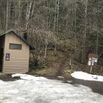
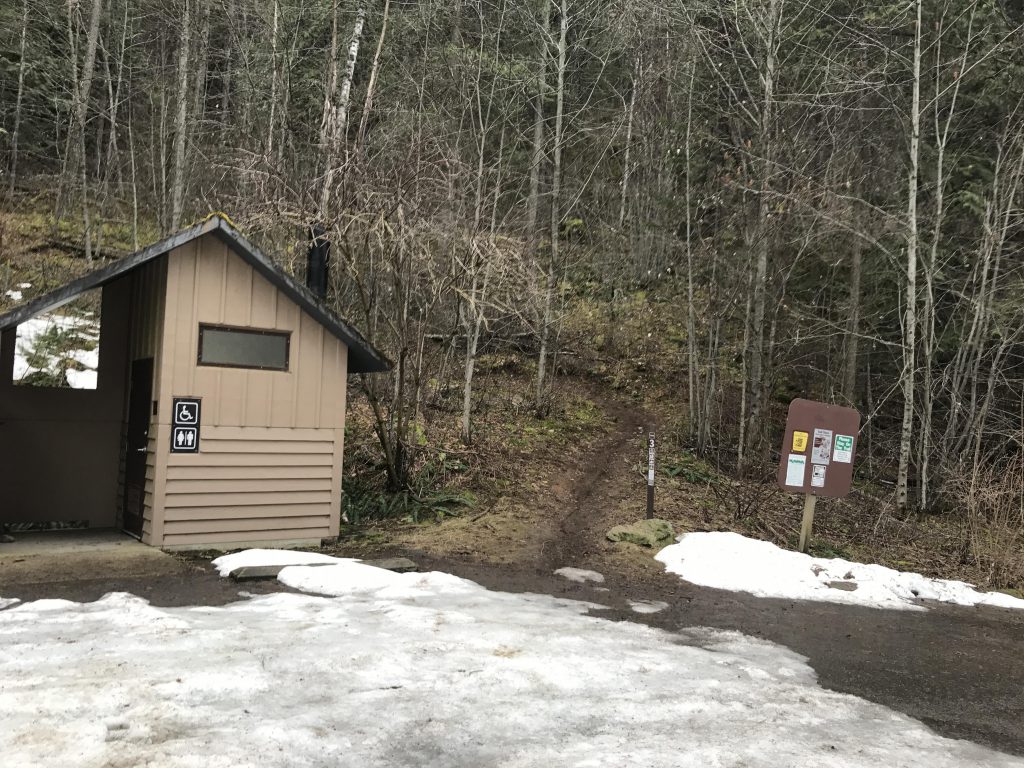
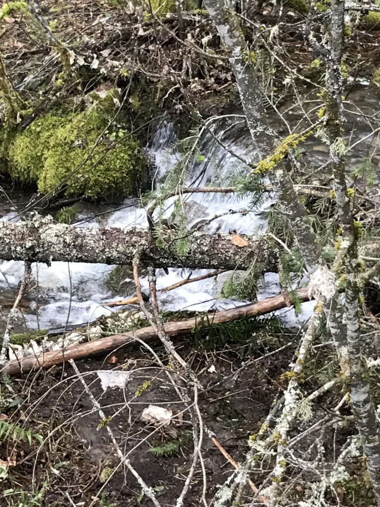
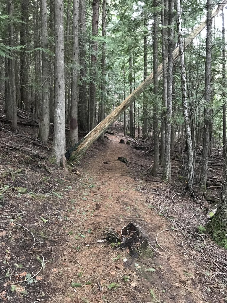
The trail starts just off Bottle Bay Road, at a small trailhead equipped with a restroom and accommodations for perhaps 5 or 6 cars. Gold Hill is very steep in this first section, which the trail makes palatable via a sheer endless series of switchbacks. A small, likely seasonal, brook can be seen (and heard) to the left and is revisited four or five times as the trail weaves back and forth and up and up.
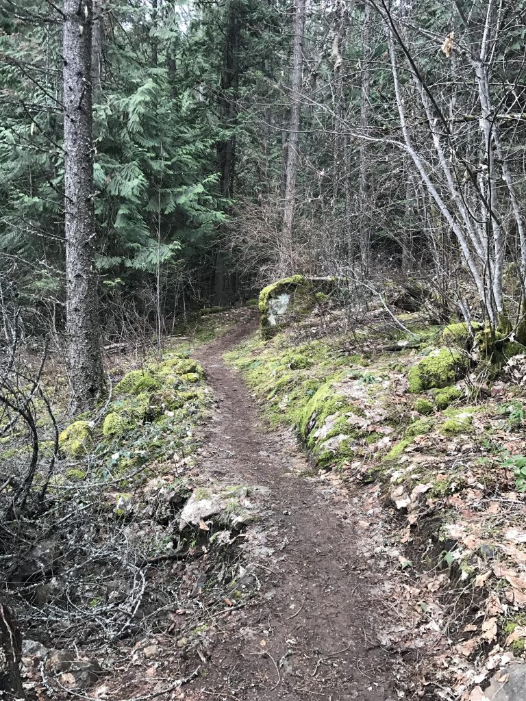
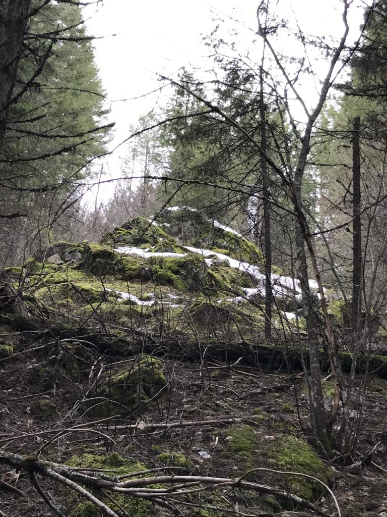
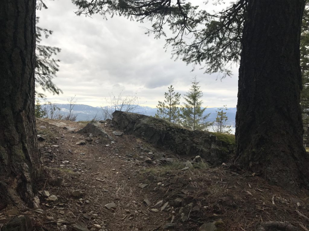
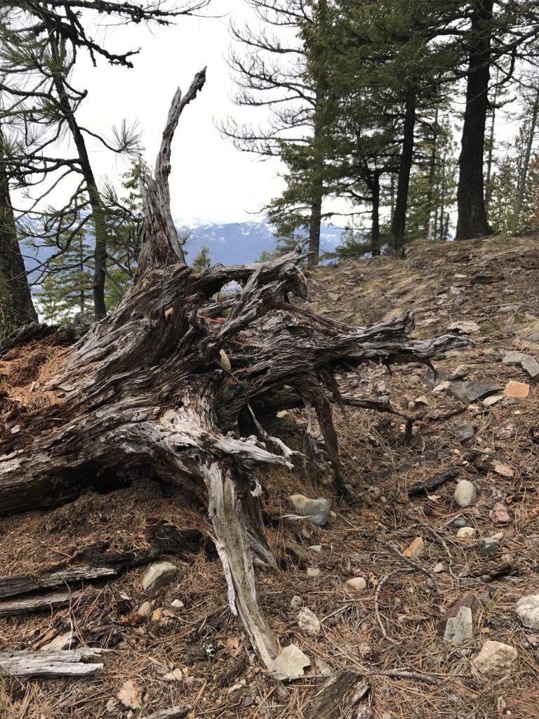
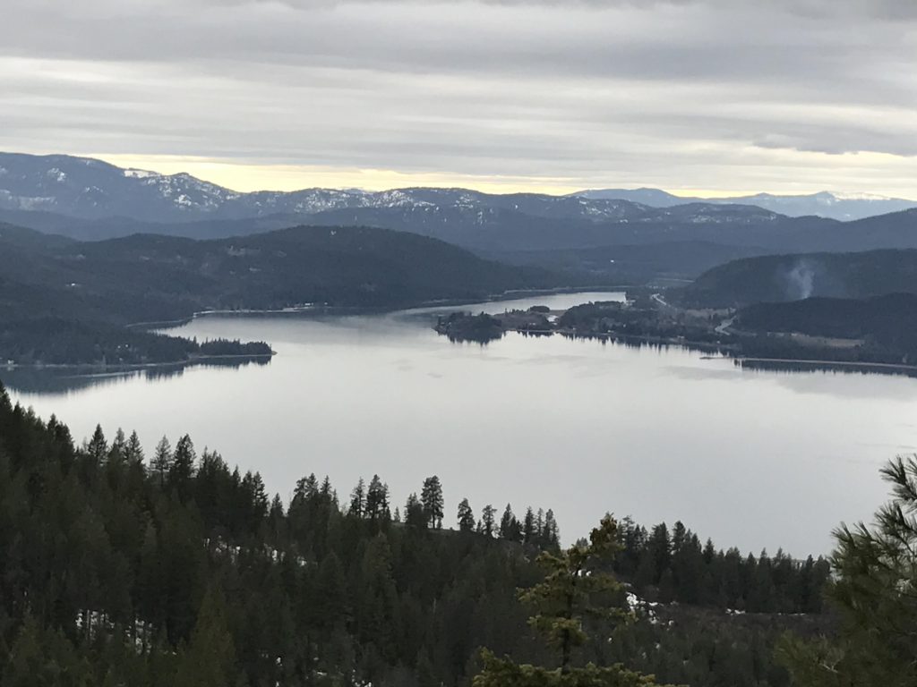
The trail moves through fairly dense forest, which severely limits any views of the lake; however, around the one-mile mark is a clearing with a bench and better views. Continue on and soon the switchbacks get fewer as the moss-wrapped rock outcroppings increase.
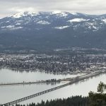
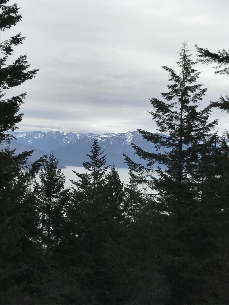
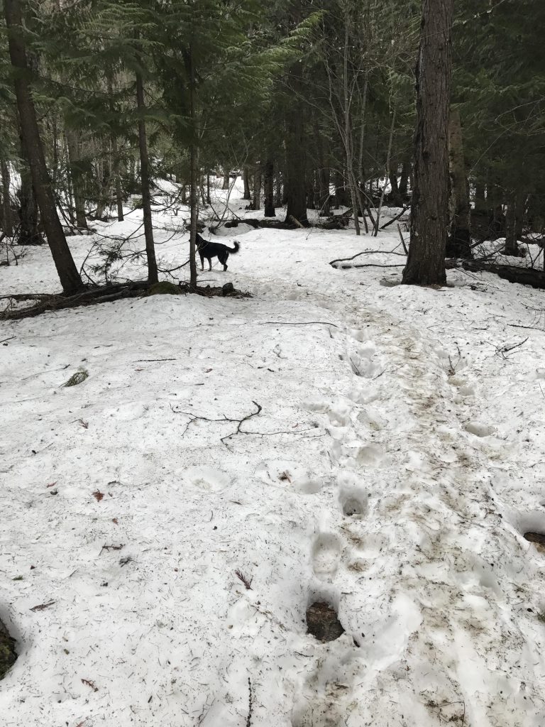
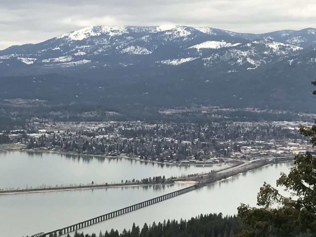
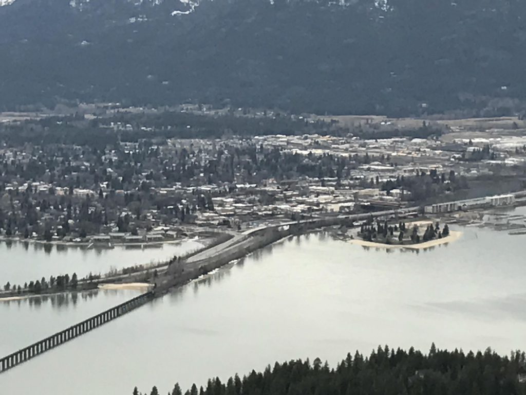
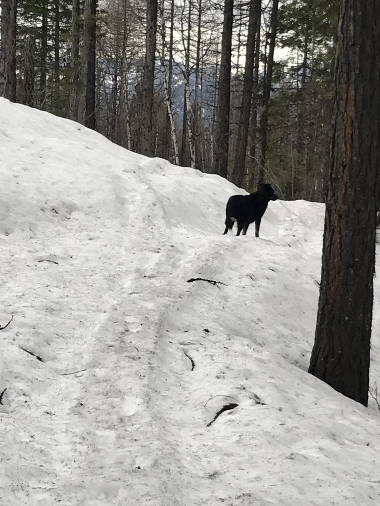
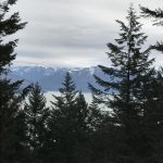
About 1.5 miles into the hike we hit snow, soon at a depth exceeding a foot (luckily semi-frozen, so there wasn’t too much sinking in. But you may want to wait until May or after to avoid snow). Shortly past the two-mile mark the switchbacks resume and before the 3-mile mark the trail spills out onto an open area that offers the first significant unobstructed views. Keep going, though, as the best views are about a quarter mile ahead, at a place with three benches.
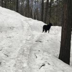
After the benches the trail continues to climb the mountain for another half mile, but the scenery isn’t spectacular and neither is the view. On top of that, the snow got very soft and those of us who weighed more than 40 pounds and couldn’t spread our paws like snowshoes sank in deeply with every step. The end of the trail, FR 2642, is a bit of a let-down, offering virtually no views. You won’t miss anything if you turn around at the benches.
Alternate Routes
- You can continue up on FR #2642 to its terminus. Then take trail #2 (a single-track) to the saddle below Gold Hill. That is as close to the top you’ll get on established trails. Additionally, you could continue on down the far side on #2 to FR #2642, which will then lead down to Garfield Bay
Things to Consider
Not so great