Goat Mountain

Goat Mountain stands in the shadow of taller Scotchman Peak, but the views from the top are just as superb compared to its more well-hiked brother. The ascent is steep, though, gaining over 4,000 feet over 4 miles and you’ll likely have the peak to yourself. We sure did.
Location
  • Cabinet Mountains
Rating
3.5 out of 5
Difficulty
More Difficult (it’s pretty steep all the way)
Distance
8.0 miles
Duration
4:28 hours moving time (Hiking)
Elevation Gain
4,191 feet
High Point
6,381 feet (Goat Mountain)
Low Point
2,325 feet (trailhead)
Features
  • Mountain
  • Outing Type
  • Daytrip
  • Trail Type
  • Out-and-back
  • Trailbed
    Packed dirt, scree, snow
    Trail#
    135
    Water
  • Not a drop
  • Camping
    • Nothing ideal
    Conditions
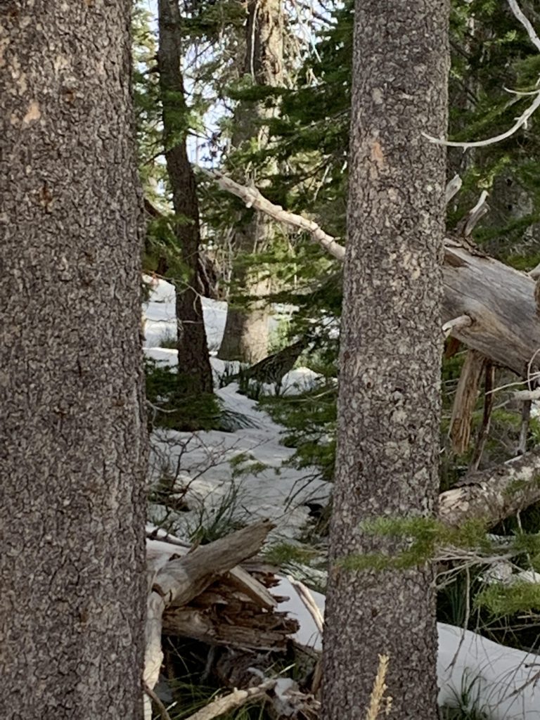
    • The first half up to 4800 feet was in good condition; thereafter it was brushy with a fair bit of blowdown. The top was covered in snow, so who knows?
    Administration
  • Kaniksu National Forest
  • Status
  • Proposed Wilderness
  • Maps
    USGS
  • Scotchman Peak
  • Fees & Permits
  • None required
  • ()
    Open To
  • Hikers
  • Dogs
  • Horses
  • ()
    Directions
  • From ID-200 in Clark Fork, take Main Street north (that is at the Chevron station). After half a mile turn left onto Lightning Creek Road 419 (ie, stay on blacktop). After 2.5 miles the trailhead will be on your right. The last couple hundred yards are so are on a gravel road. There is parking by the side of the road for 3-4 cars.
  • Season
    Year-around
    Date
    November 2, 2019

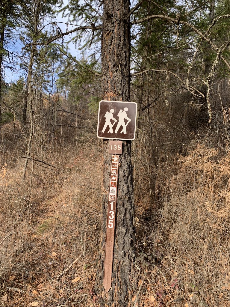
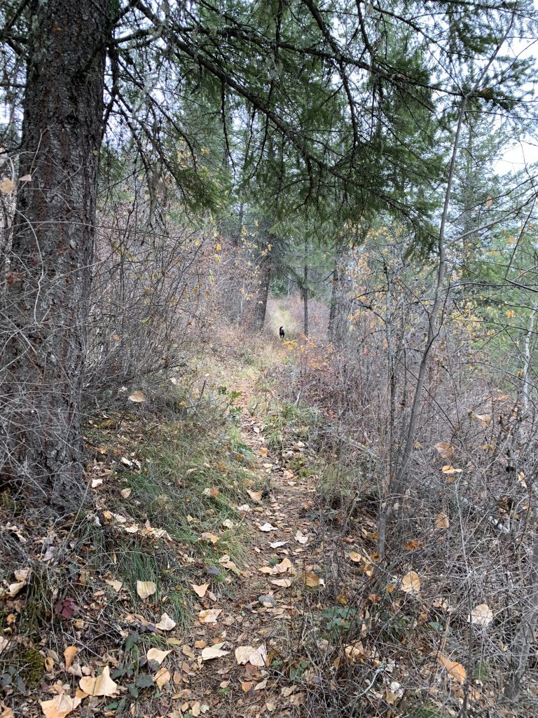
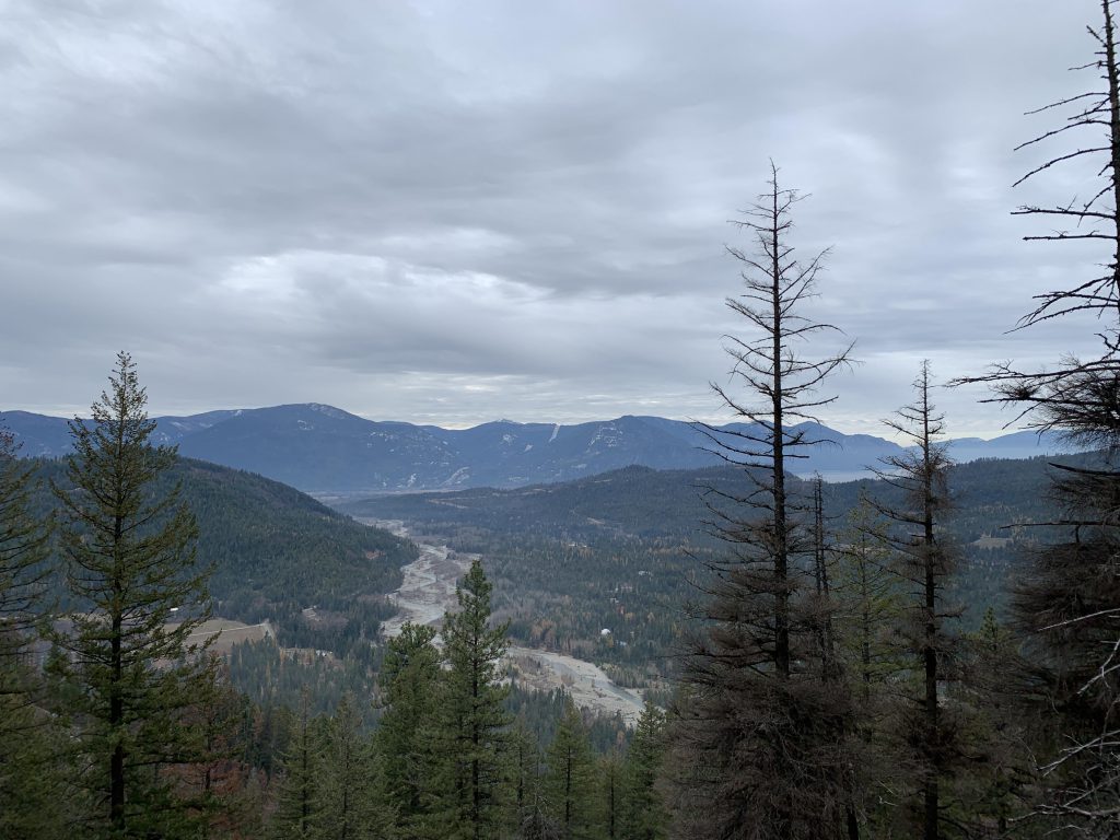
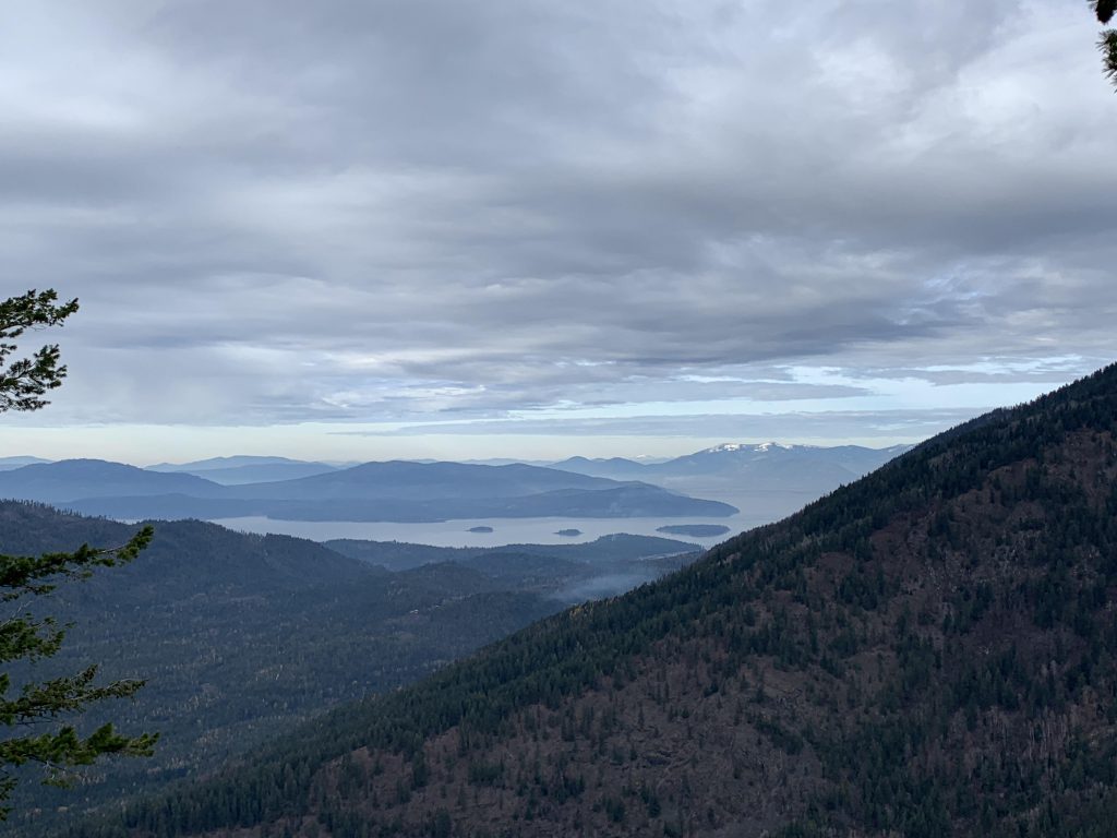
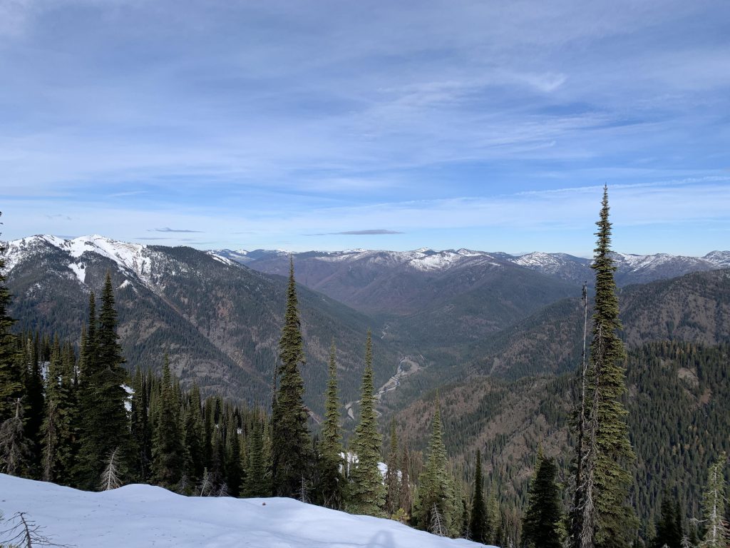
    The trail immediately climbs a well-maintained and recently rerouted trail. It is up, up, up, switchbacking steadily. Views of Lightning Creek and the Beetop ridge open up soon and just get better. At around the 2-mile mark, (roughly 4,800 feet), the trail pops onto a knoll with good views of the Lightning Creek valley, then turns southeast and keeps climbing, but the incline is less steep. This section is rougher, though, with lots of brush and deadfall. Snow got deeper and the trail harder to find.

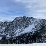
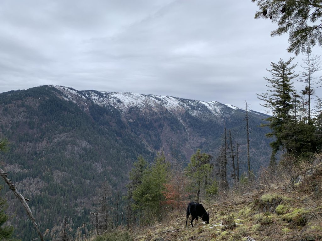
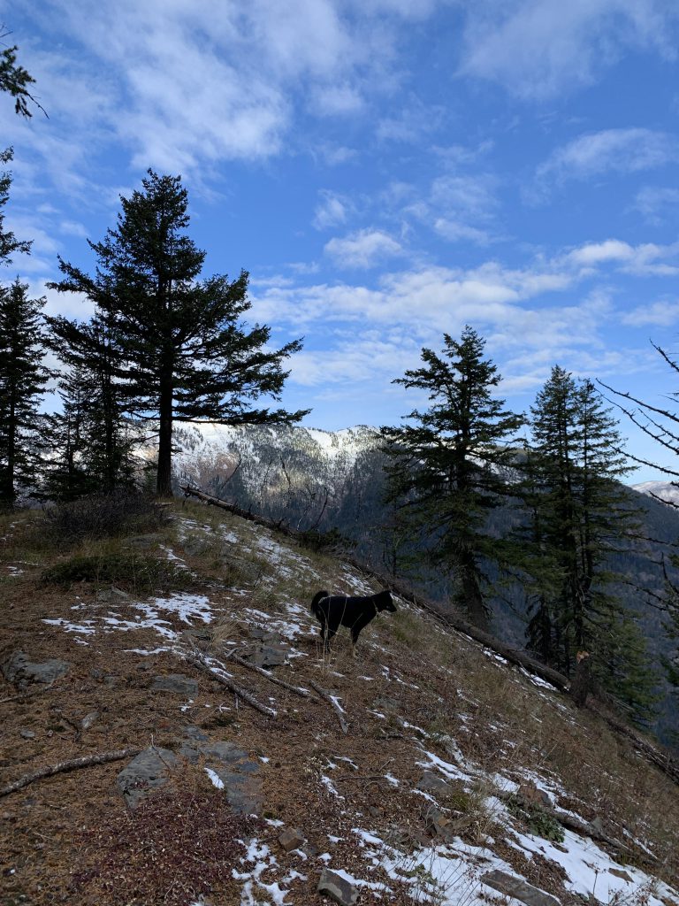
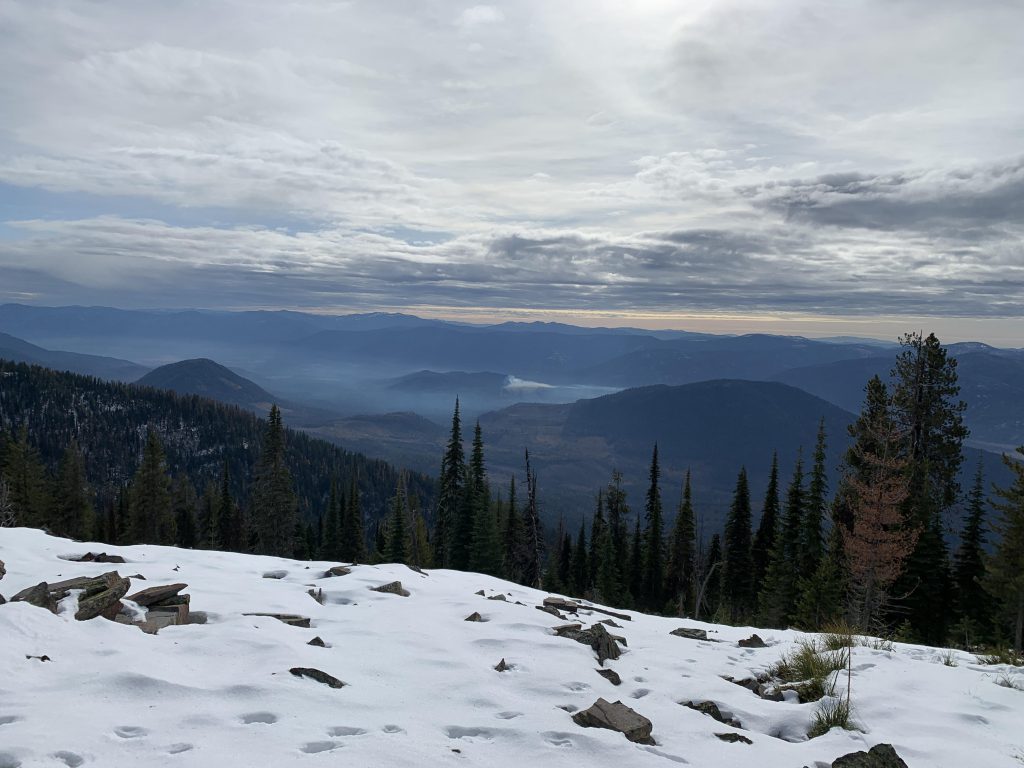
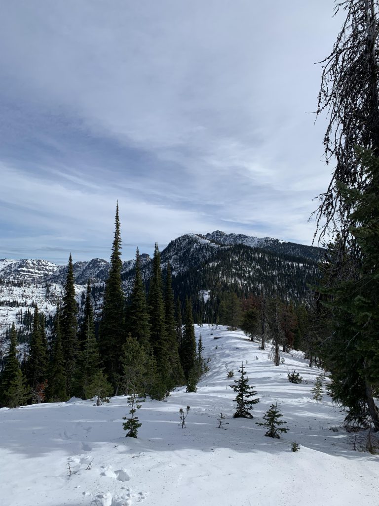
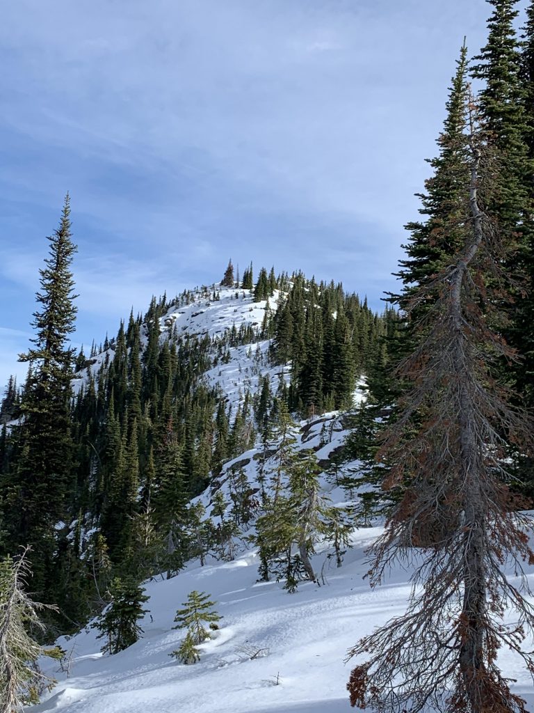
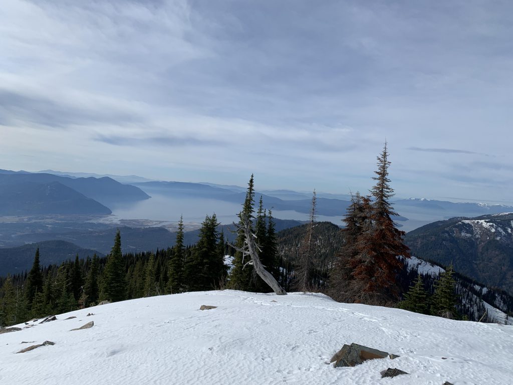
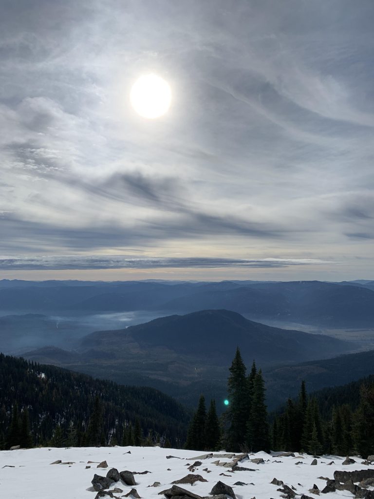
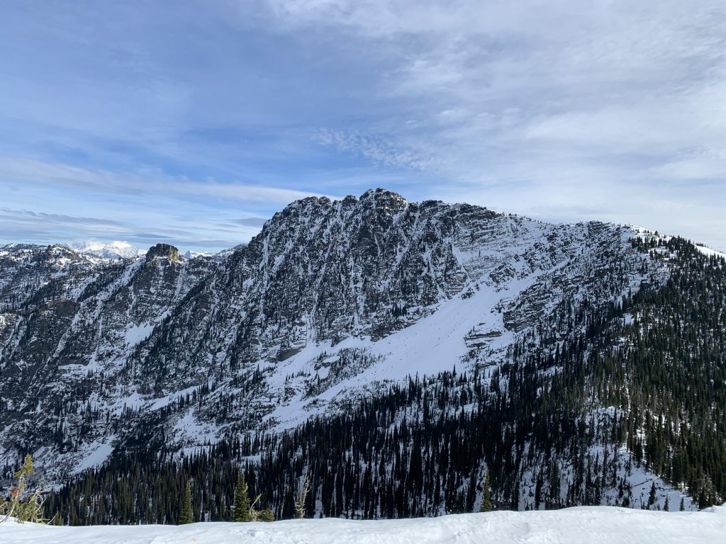
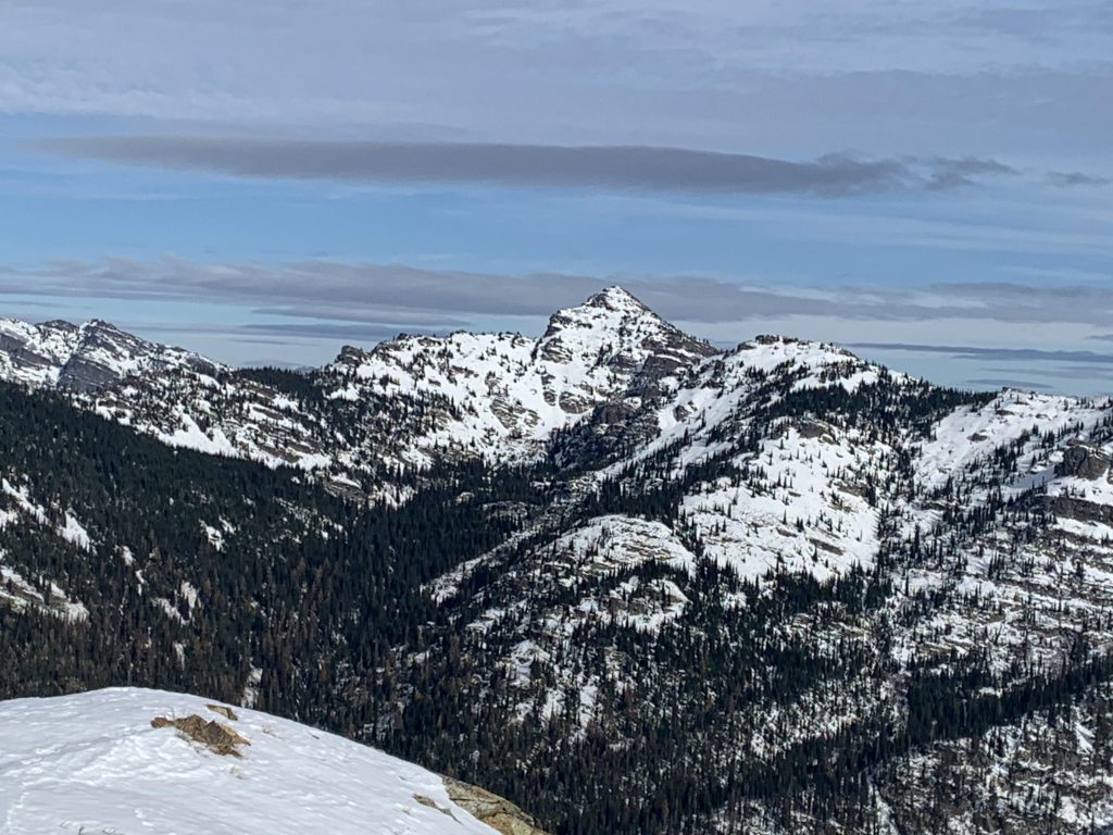
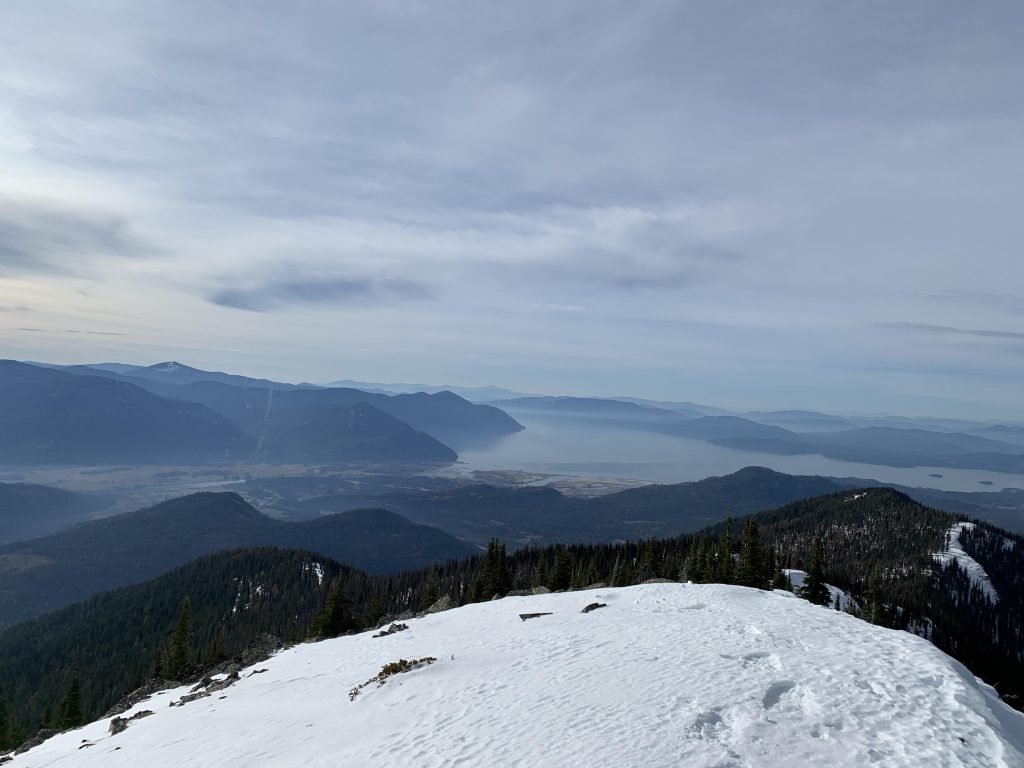
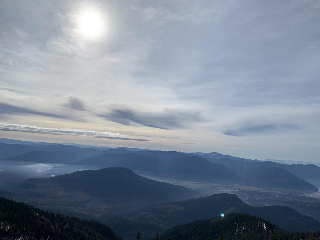
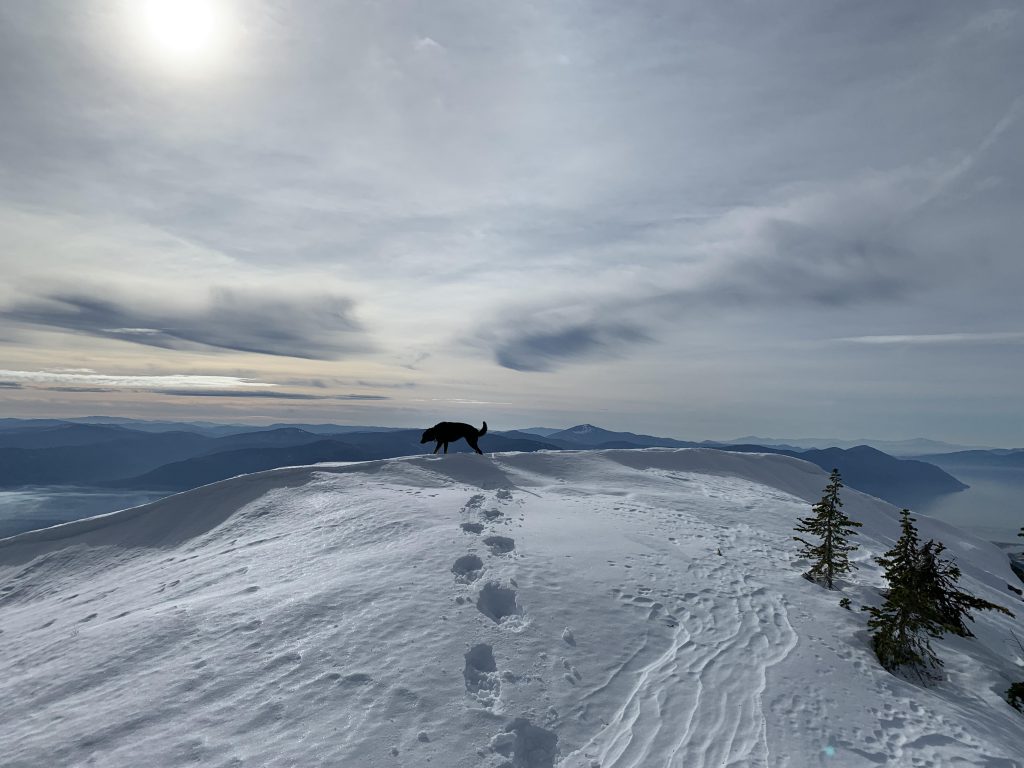
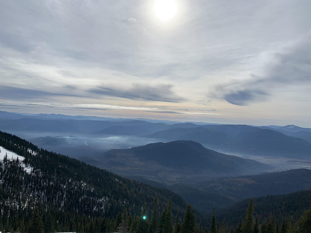
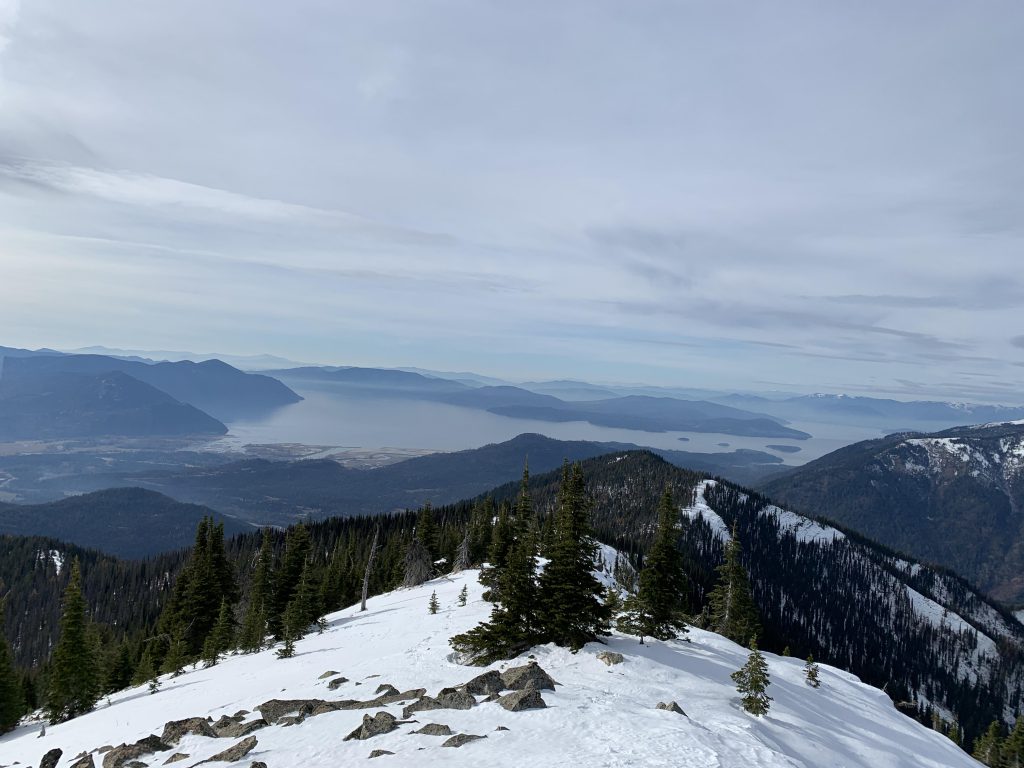
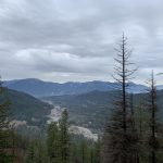
    Snowshoes became necessary near 5,000 feet. The snow obliterated the trail, so we just followed the ridge. Just past the 2.5-mile-mark a false peak is reached; afterwards the trail drops and the ascent of Goat Mountain starts. Views from the top are hard to beat. The peak is just across from Scotchman’s massive north wall. You’ll also spot Scotchman 2, as well as enjoy far-reaching views of Lightning Creek, Lake Pend Oreille and the Clark Fork river valley.

    Alternate Routes

    • From Goat Mountain bushwhack down to Morris Creek trail #132 (a shuttle car or bike at the trailhead of #132 would be a big plus!)
    • Bushwhack to Scotchman Peak

    Things to Consider

    • Given how steep it is, I would not recommend this on a hot summer day. Winter seems ideal, as the trailhead is accessible. Spring is perhaps even better, when the snow is packed.

    Not so great

      Trailhead
      The trail was recently maintained
      Views of Lightning Creek open up quick
      Beetop Ridge
      Lake Pend Oreille
      This knoll makes for a nice turnaround point; the trail deteriorates afterwards
      We came upon snow accumulation just below 4800 feet
      The Goat’s head up ahead with Scotchman behind it
      Lightning Creek
      Tackling the Goat’s head
      Lake Pend Oreille
      Views are superb all around
      Scotchman
      Scotchman 2
      Lake Pend Oreille
      Clark Fork valley
      Naughty gracing the Goat’s head
      Looking down on Clark Fork
      The trail follows this ridge
      Lightning Creek
      A well-deserved cool-down in Lightning Creek
      The obligatory grouse