Glenrose Cliff Trail

Glenrose Cliff is a new addition to the Dishman Hills area in Spokane, situated in between the Dishman Hills and Iller Creek conservation areas. The trail reaches a highpoint early on, then crosses an open ridge and drops lower and curls around the mountain to end near granite rock formations with commanding views of the Spokane valley.
Location
  • Selkirk Mountains
Rating
2.0 out of 5
Difficulty
Moderate (some uphill hiking)
Distance
6.6 miles
Duration
2:32 hours moving time (Snowshoeing)
Elevation Gain
1,090 feet
High Point
2,929 feet (first knoll)
Low Point
2,326 feet
Features
  • Meadow
  • Outing Type
  • Daytrip
  • Trail Type
  • Out-and-back
  • Trailbed
    Packed dirt, decommissioned fire roads
    Trail#
    Water
  • None
  • Camping
    • Not permitted
    Conditions
    • Excellent
    Administration
  • Dishman Hills Conservancy
  • Spokane County
  • Status
  • County Park
  • Maps
    USGS
  • Spokane SE
  • Fees & Permits
  • None required
  • (None required)
    Open To
  • Hikers
  • Dogs
  • Horses
  • Mountain Bikers
  • Skiers
  • ()
    Directions
  • From I-90 take exit 283 and head south on Thor to 29th (it will turn into Ray Street). Turn left on 29th Street, then turn right onto S Glenrose Road after 1.4 miles. After another .6 miles turn left onto 37th, which will turn into Eastern Road and then into 44th Road. After a bit over a mile take a left onto Thierman Road and follow it to the gate.
  • Season
    Year-around
    Resources
      Date
      December 21, 2016

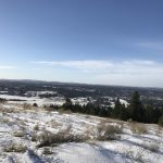
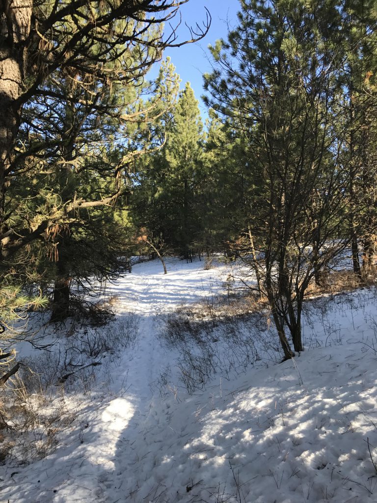
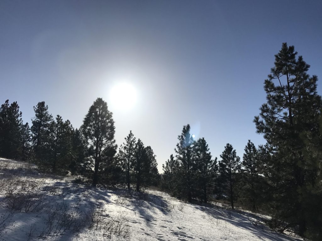
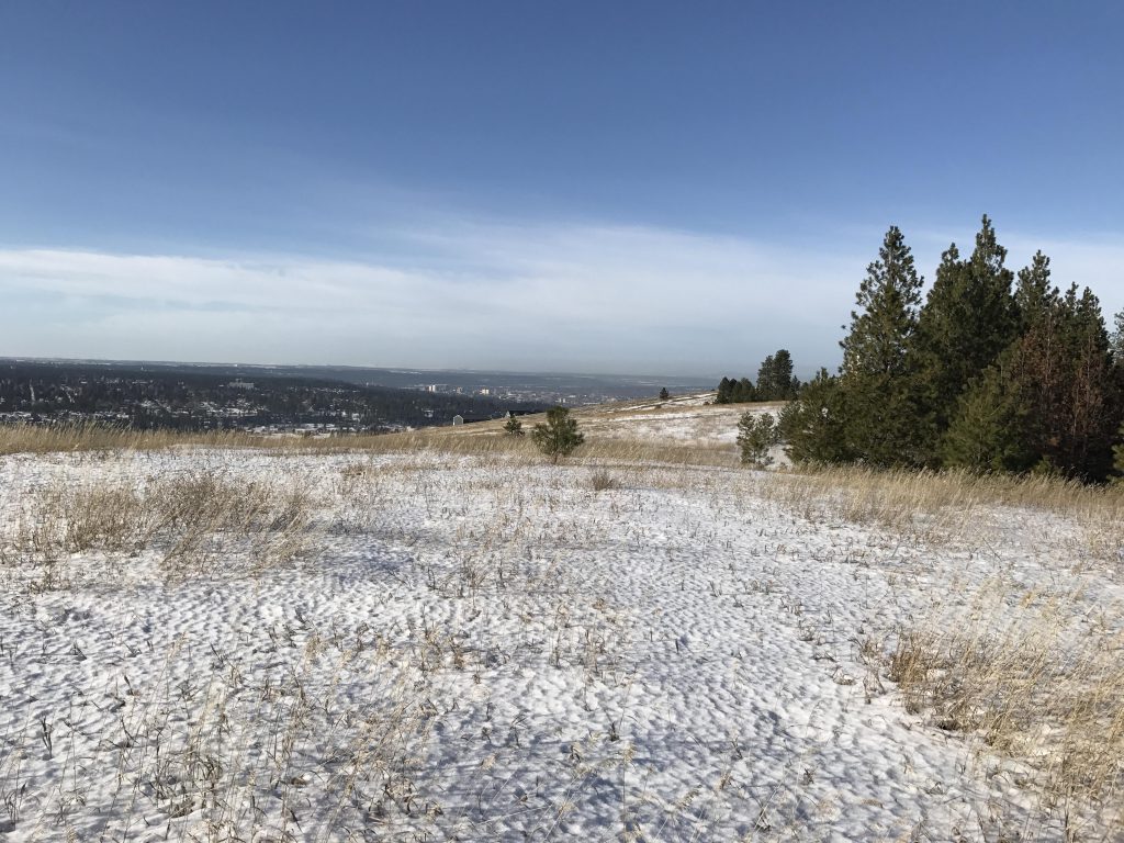
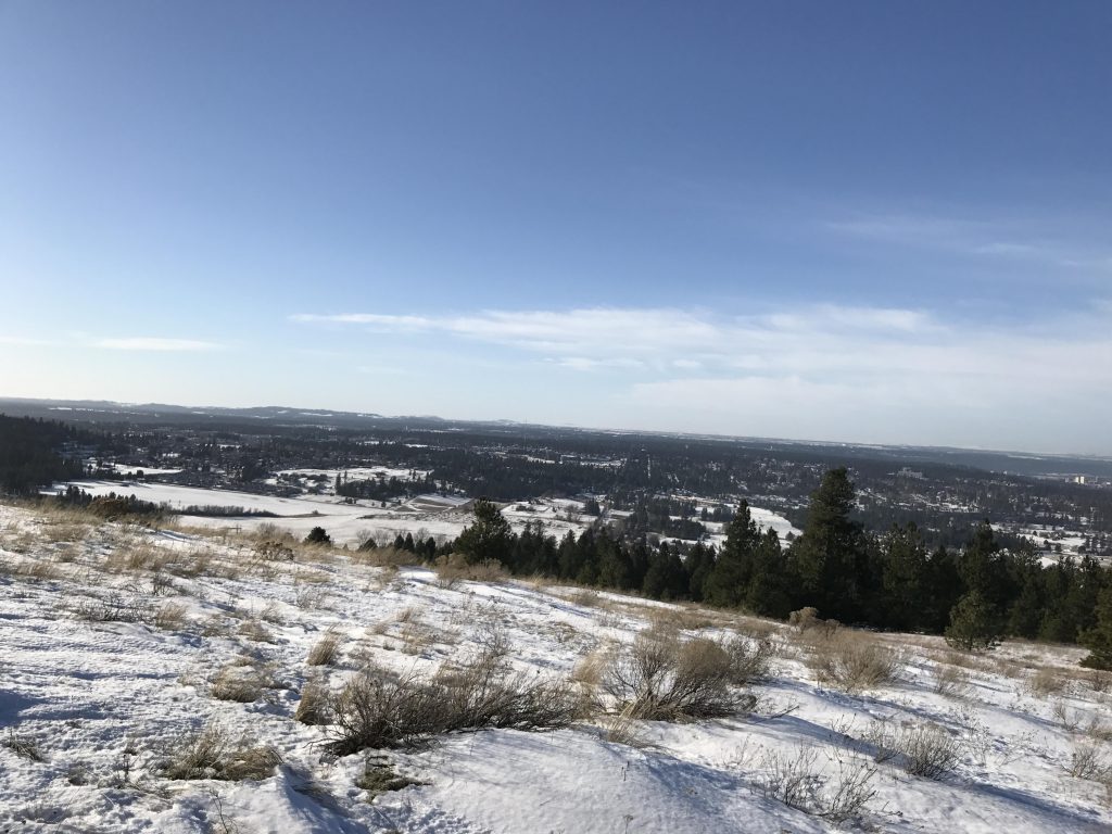
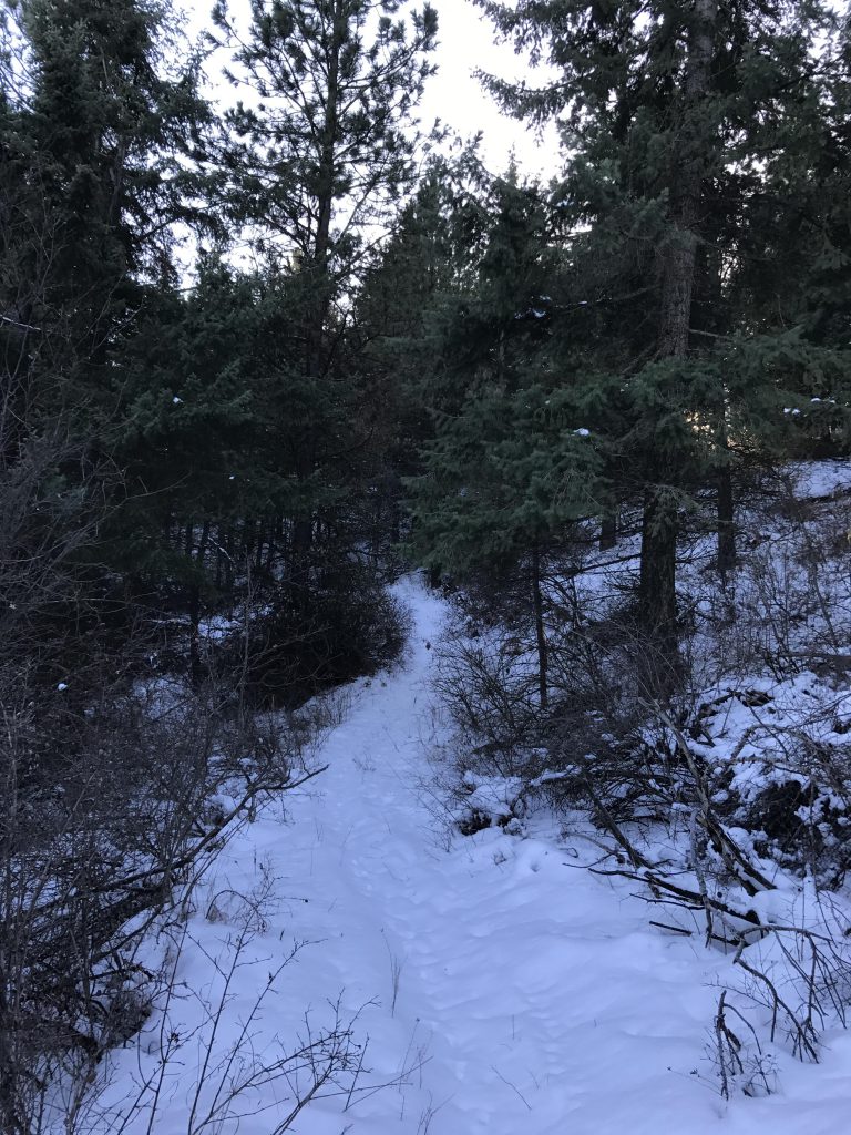
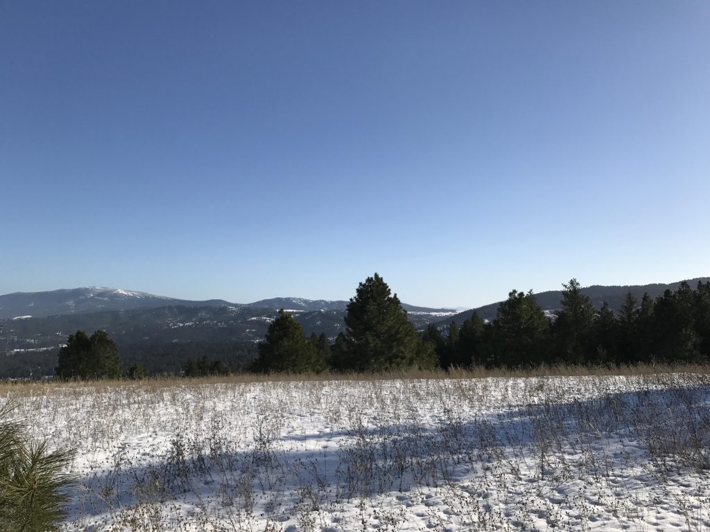
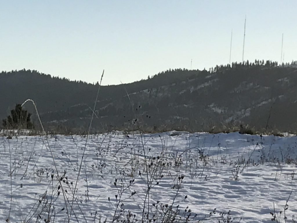
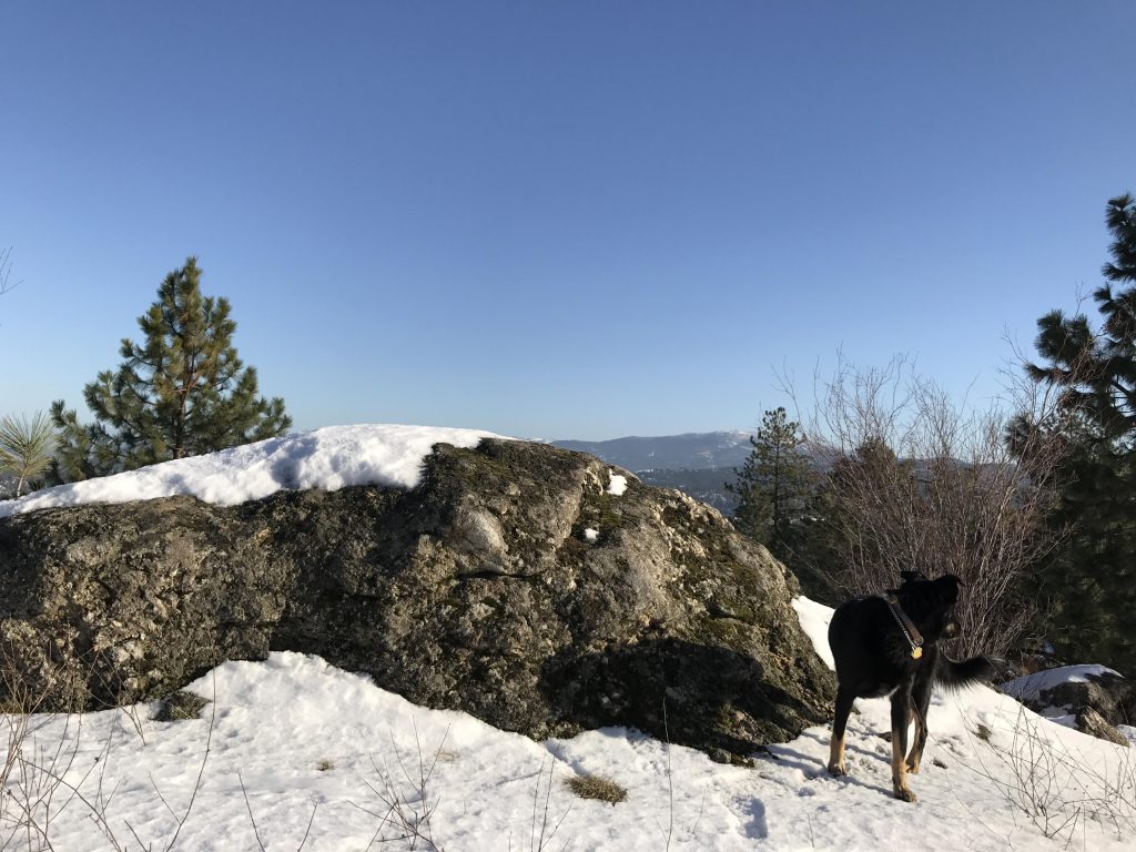
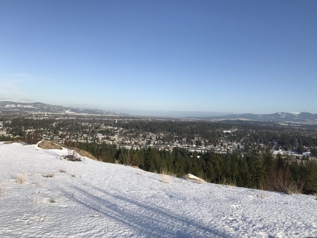
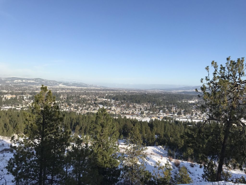
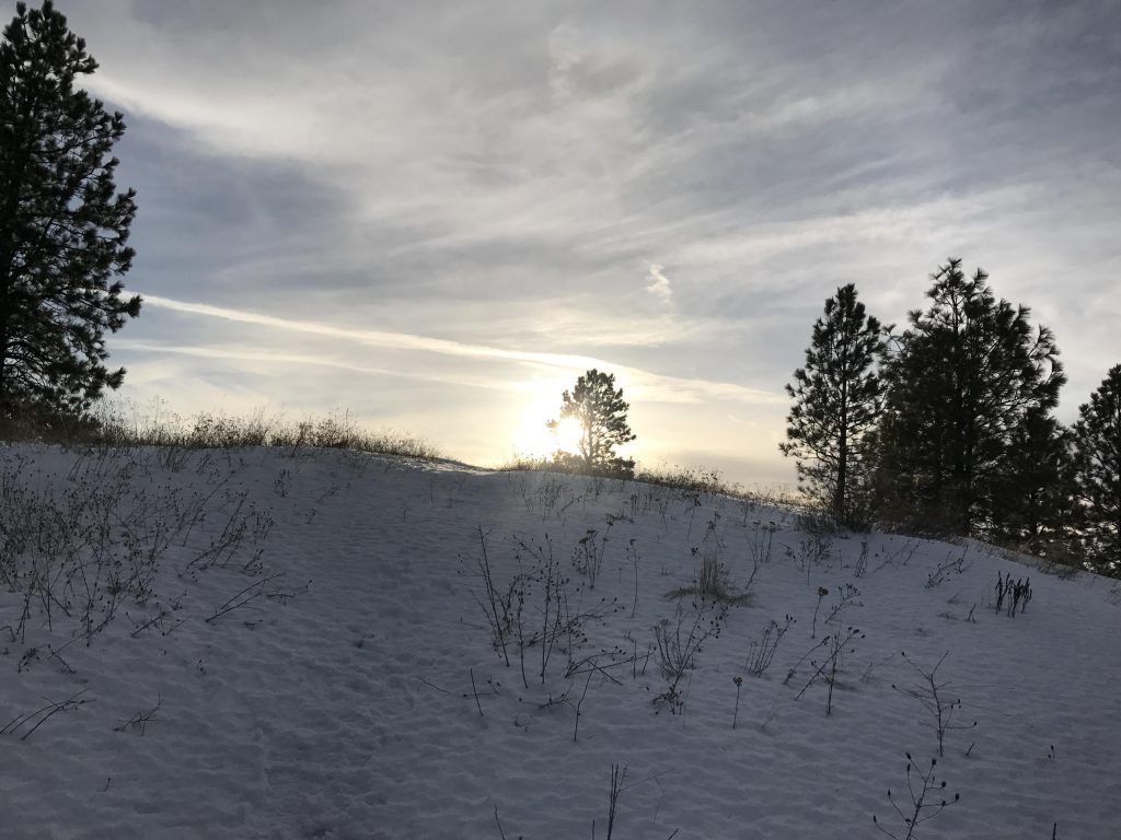
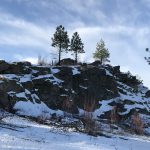
      Past the gates, the trailhead is on the right, leading upwards through light forest to an unmarked intersection. To the north (left) a trail moves out onto an open grassy ridge that leads/ends nowhere in particular. Instead, take a right and follow the dual-track uphill to the first and highest knoll along this trail. It presents grand views of urban sprawl and in the distance the Selkirk Mountains to the north.

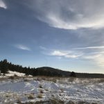
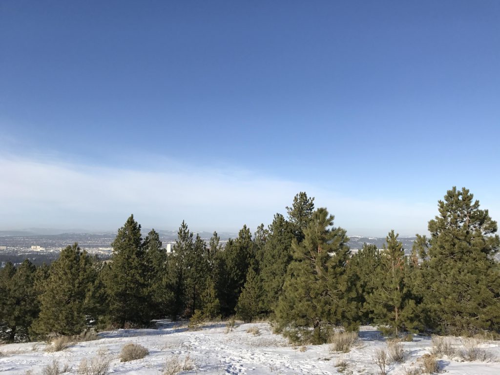
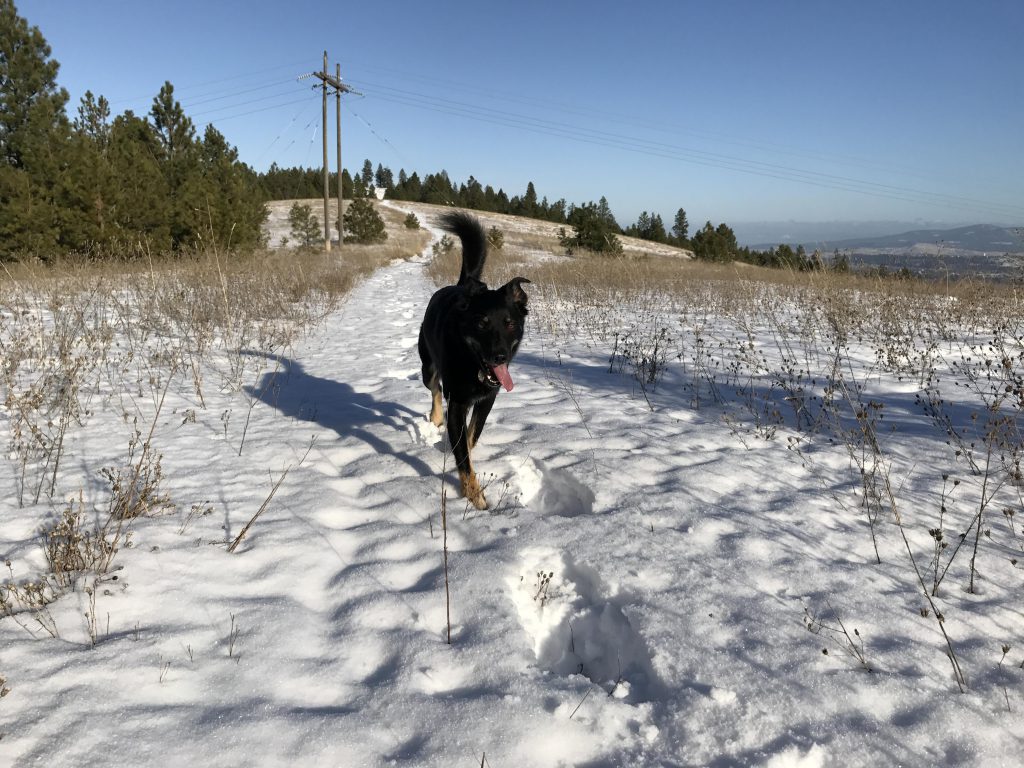
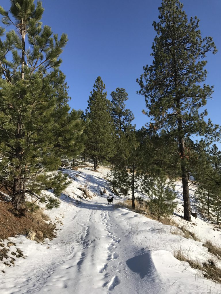
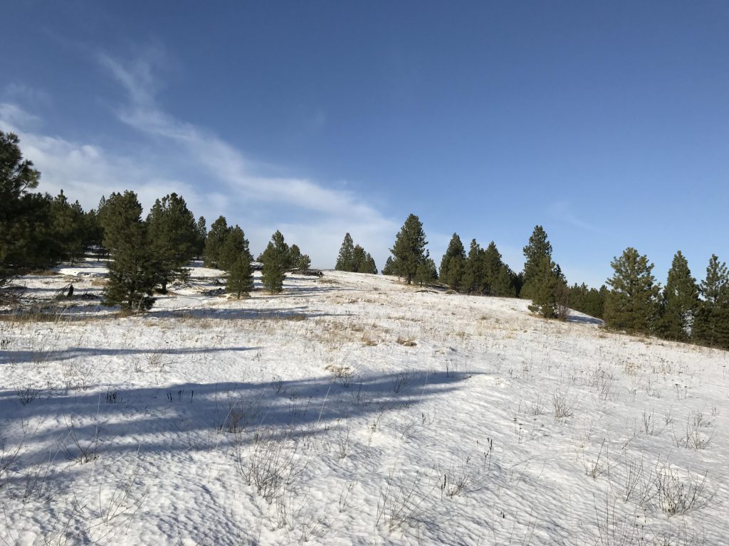
      The trail crosses the knoll and immediately drops off steeply in a series of switchbacks, enters dense forest and hugs the side of the mountain for some time. There are two gullies in this section, where the path drops sharply and then climbs up steeply. Ultimately the trail regains the ridge, where the forest is replaced with a broad meadow and views of Tower Mountain.

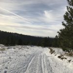
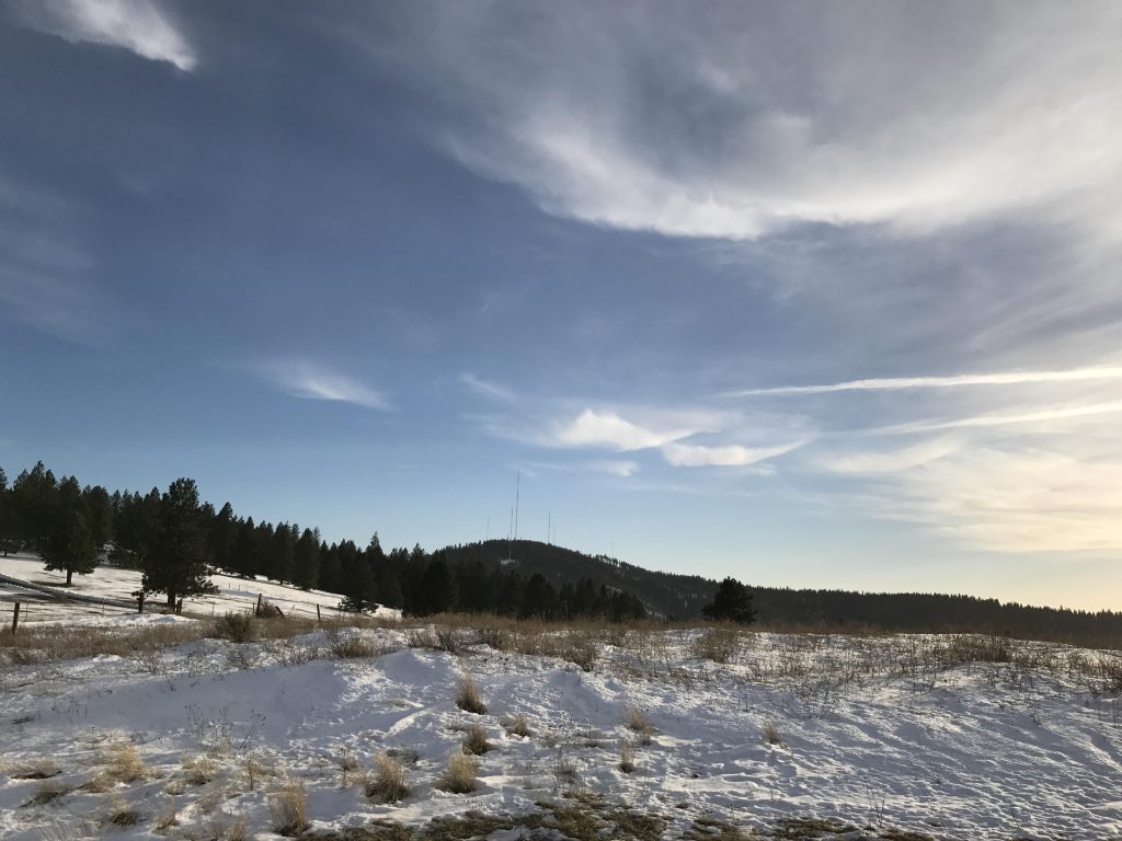
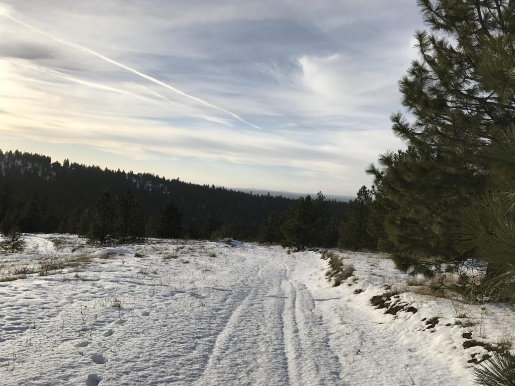
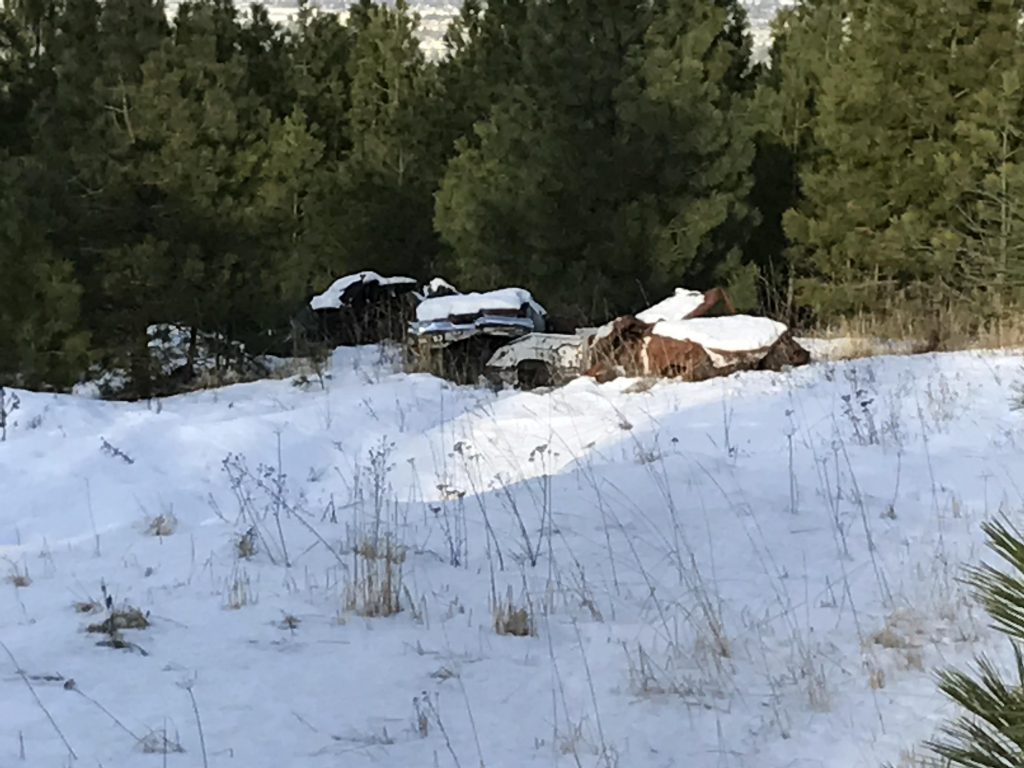
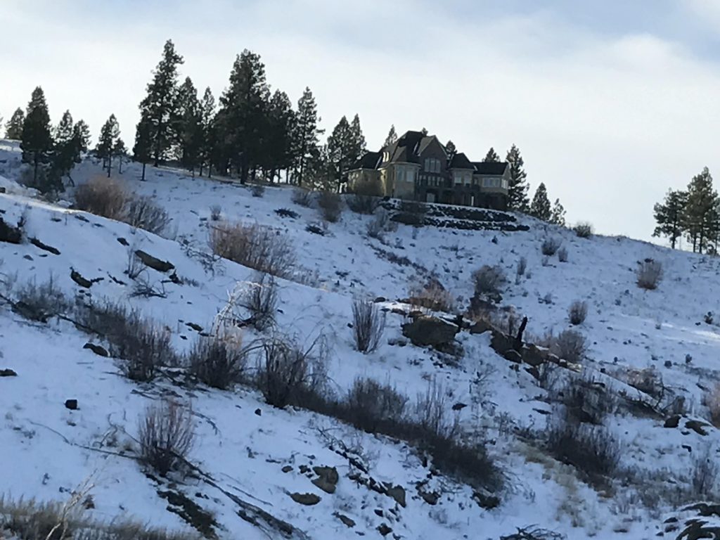
      The trail continues along this ridge toward a second knoll. That knoll looks promising, but views were somewhat disappointing and disgraced by a pile of junk cars. That may be the reason that the trail actually bypasses that knoll and drops steadily, following an old fire road downhill for a bout a mile.

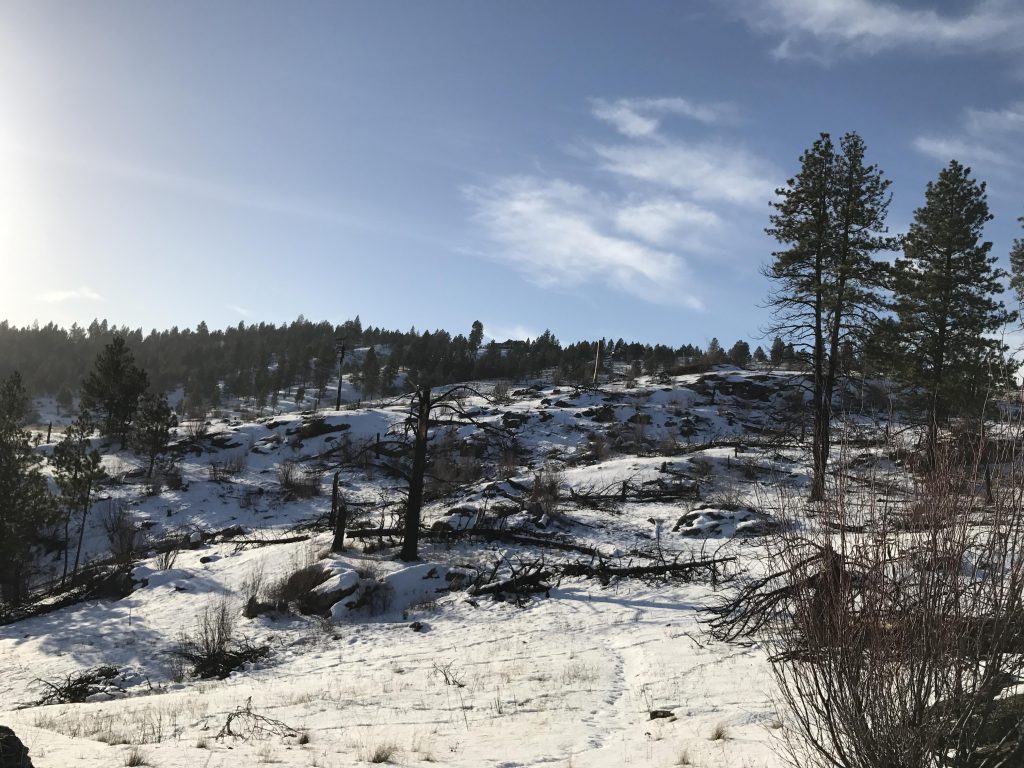
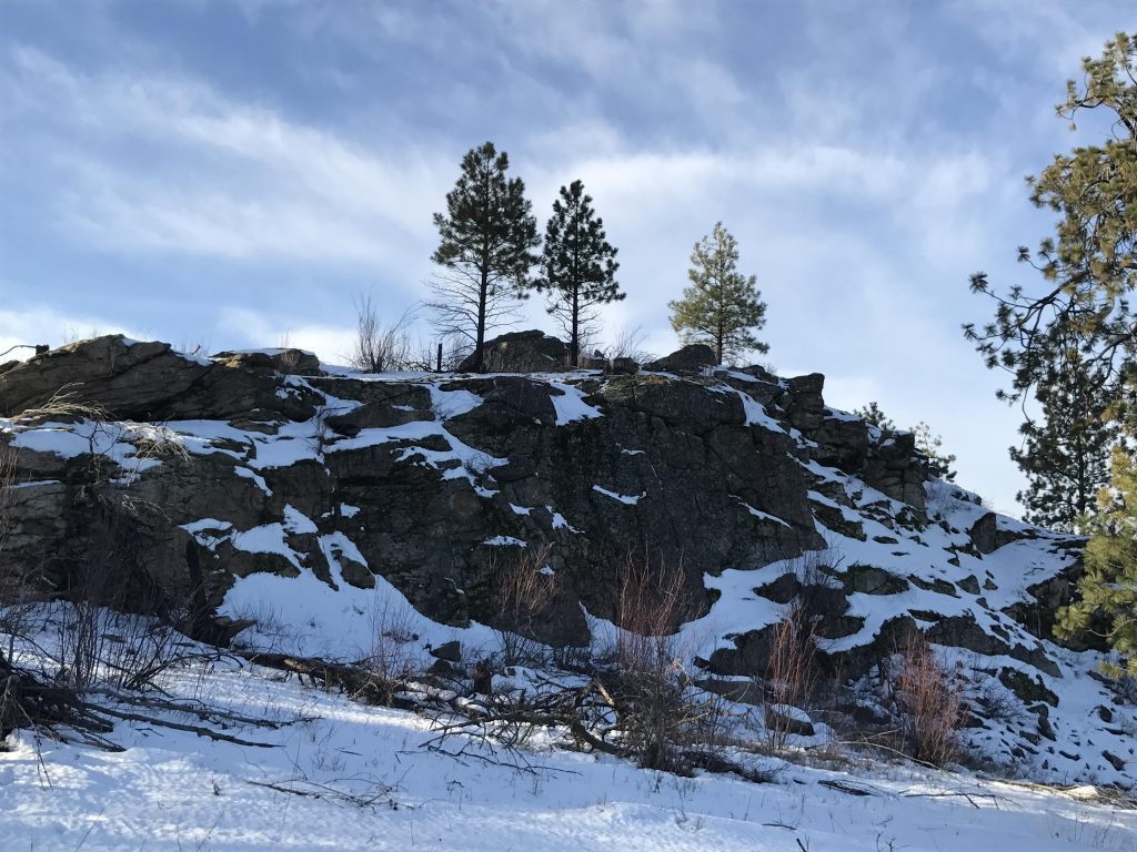
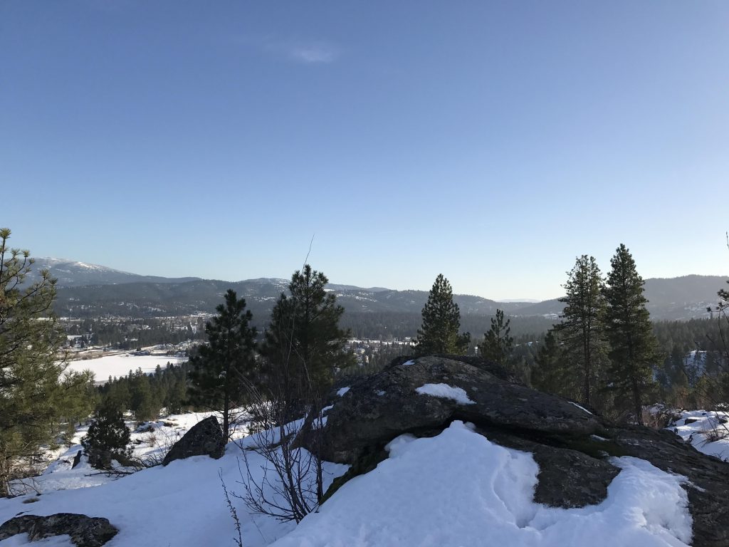
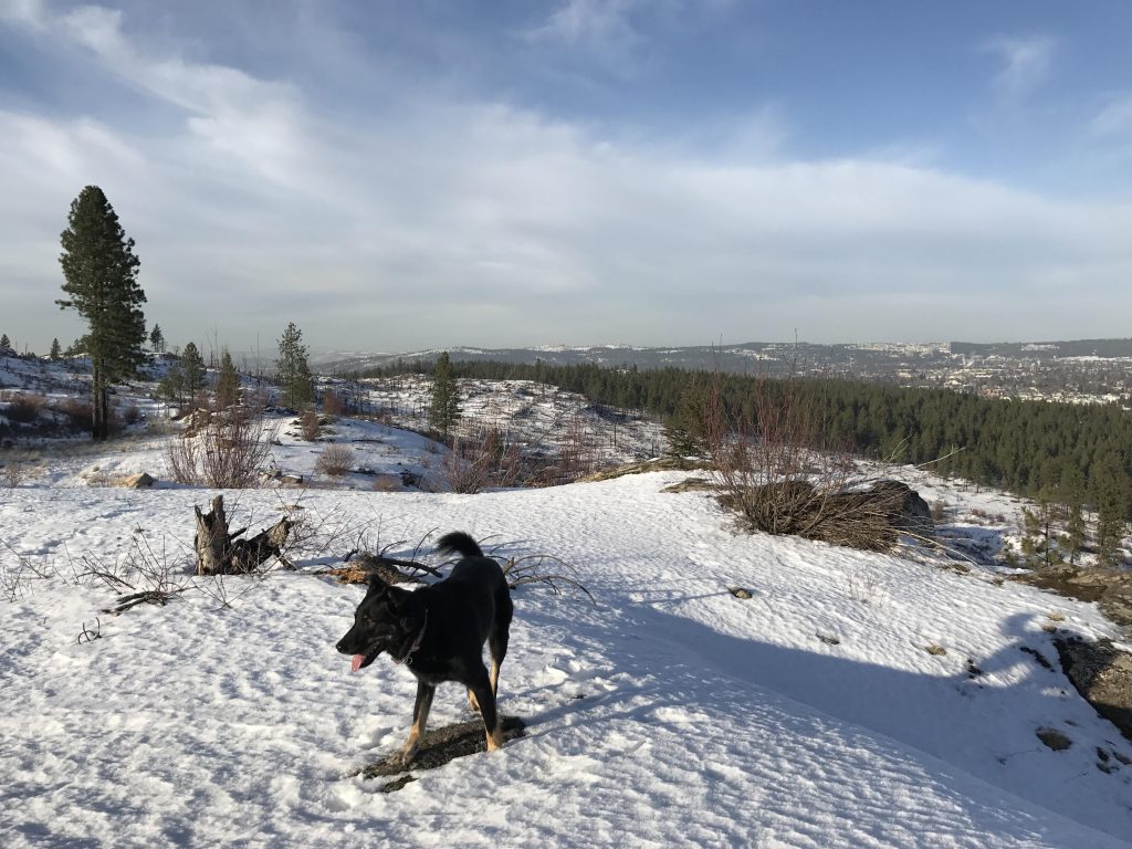
      Then it veers off to the left, past a few rock formations, curls around the mountain, crosses the remnants of the 2008 Valley Fire, and reaches the end point at a large rock outcropping with views to the east. This section was fairly noisy, as the traffic noise from the Dishman-Mica Road below carries up aplenty. The end of the trail was somewhat uneventful and disappointing–we didn’t even find the end of the trail, just assumed that the rock formations were the terminus. Then it’s back along the same route, for a total of about 6 miles.

      Alternate Routes

        Things to Consider

          Not so great

            From the trailhead, the path leads upwards in a lightly forested area
            Snowcover was light
            An open ridgetop leads off to the north but ends nowhere particular
            Take the dual-track uphill to the high point
            The high point offers views of Spokane,…
            …Spokane Valley and the Selkirk mountains
            Probably Tower Mountain
            The trail immediately drops off the knoll
            For some time, the trail hugs the north side of the hill
            Up on the ridge the trail emerges onto a broad meadow
            The trail follows the ridge to a second knoll
            Not much of a view from the second knoll
            The local junkyard on the second knoll
            Tower Mountain
            Just before the second knoll the trail drops to the right and follows an old logging road downhill
            The downhill section continues for about a mile, then a single-track veers off to the left
            The first of a number of rock formations comes into view
            The trail curls around the mountain and opens up views east towards Mica Peak
            This hillside burned in 2008 and is covered with snags
            Rock formations at trail’s end
            Views of civilization are plentiful on this trail
            The “cliffs”
            Naughty couldn’t find any squirrels…
            Views of the city are impressive
            The sun slipping behind the crest