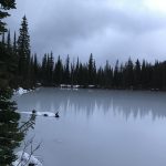
Gem Lake fully lives up to its name, cradled in a bowl opposite the Pend Oreille Divide of the Cabinet Mountains northeast of Sandpoint. Though the hike is short, the elevation gain is substantial, and most of that is up in a straight line with few alleviating switchbacks.
Location
Cabinet Mountains
Rating
3.9 out of 5
Difficulty
More Difficult (steeply uphill)
Distance
3.2 miles
Duration
1:23 hours moving time (Hiking)
Elevation Gain
1,149 feet
High Point
5,790 feet (Gem Lake)
Low Point
4,536 feet (Trailhead)
Features
Lake
Outing Type
Daytrip
Trail Type
Out-and-back
Trailbed
Packed dirt
Trail#
554
Water
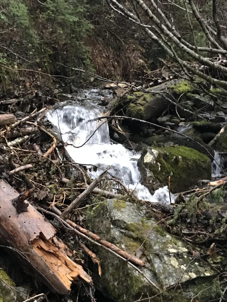
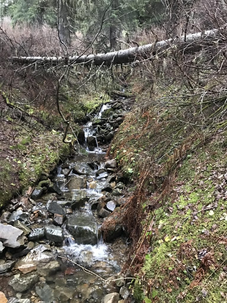
Several brooks and the lake
Camping
Campsites at the lake
Conditions
The trail was in great shape
Administration
Kaniksu National Forest
Status
Unprotected
Maps
USGS
Mount Pend Oreille
Fees & Permits
None required
(None required)
Open To
Hikers
Dogs
Horses
Mountain Bikers
()
Directions
From Sandpoint take highway 200 east 12 miles to Trestle Creek Road 275 (around milepost 42); turn left onto FR 275 (this is a well-maintained gravel road) and go 16 miles to Lightning Creek Road 419; turn left onto FR 419 (bumpy dirt road) and go approximately 1 mile to the trailhead located shortly after the bridge (go straight at the U-bend; it is well signed).
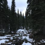
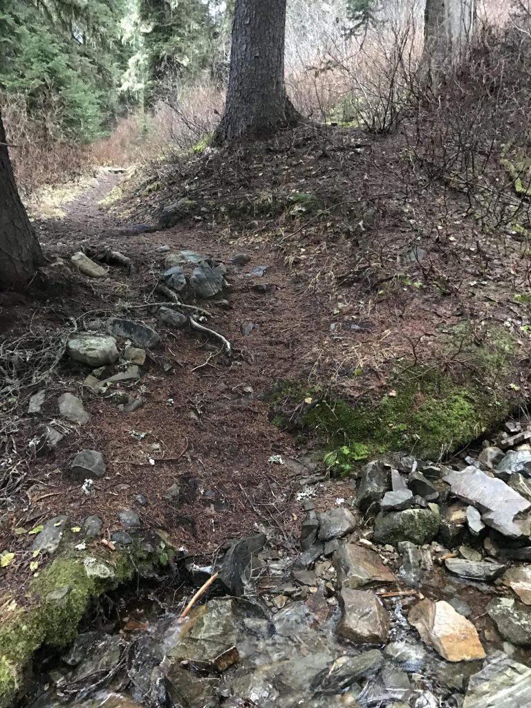
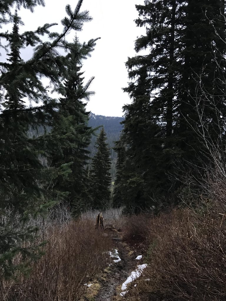
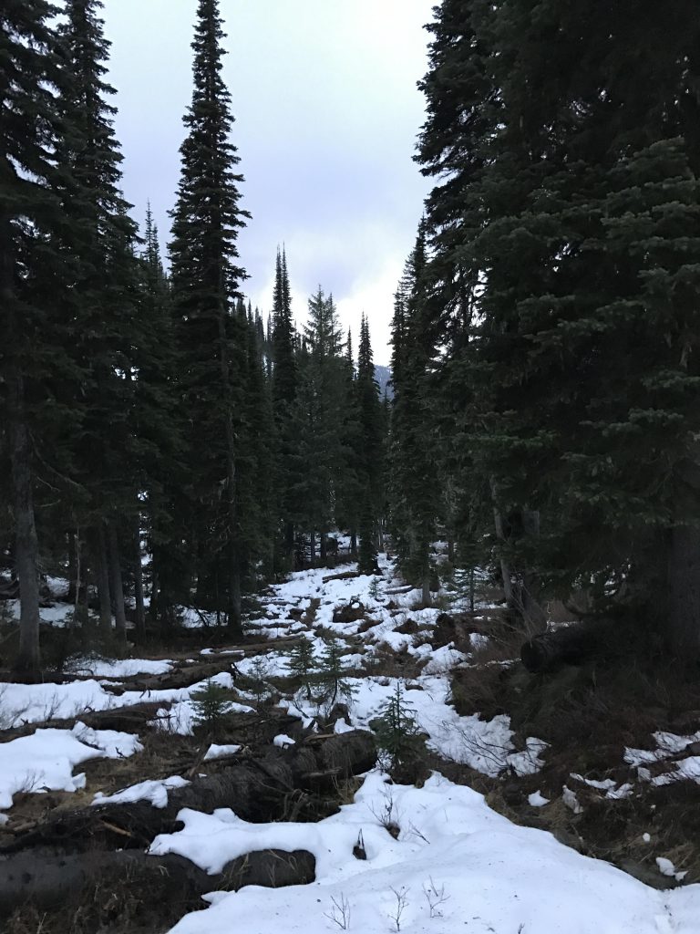
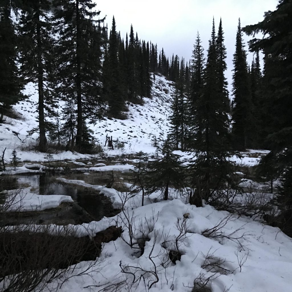
Gem Lake trail 554 starts out treacherously easily, meandering at the slightest of inclines beneath a thick canopy of fir. About half a mile into the hike the gloves come off halfway, as the trail tackles the steep mountain flank with the help of a few switchbacks. Then the gloves come off completely, and the trail heads straight up. A short reprieve follows around the one-mile mark, when the trail reroutes to the right at a relatively modest incline. Then it shifts eastwards and upwards, passing a small pond to the right, and climbs steeply towards the lip of the lake.
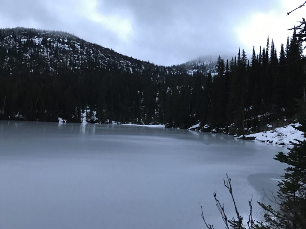
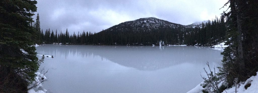
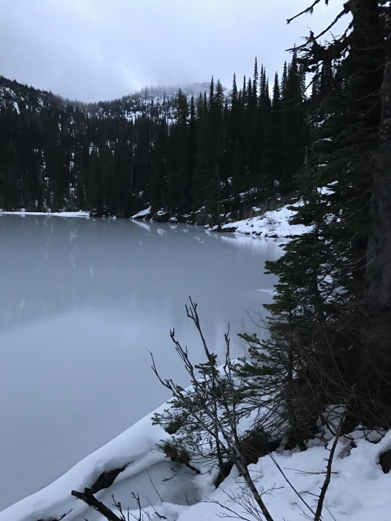
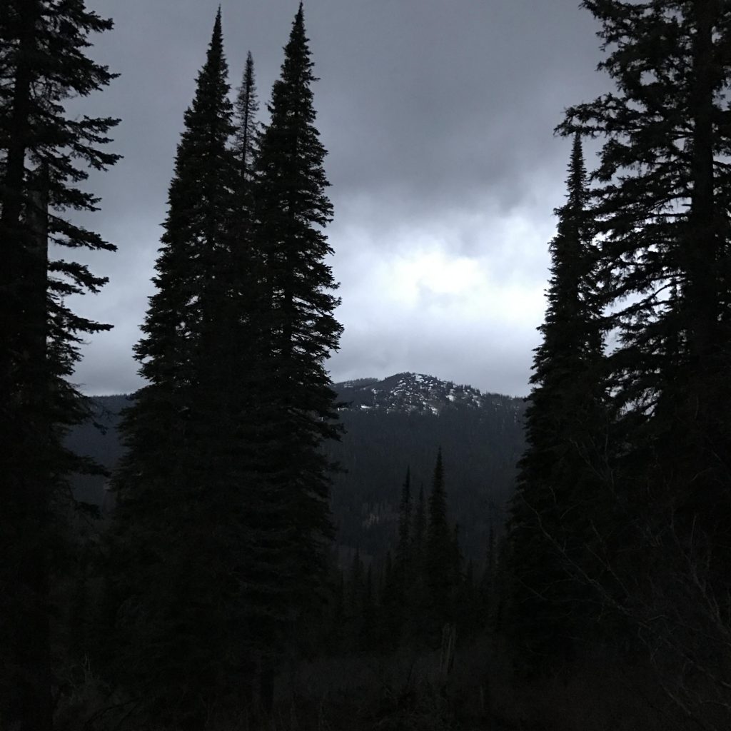
The hike offers filtered views of the Pend Oreille Divide (the opposite range) throughout, including Mount Pend Oreille and the lookout tower on Lunch Peak. Once at the lake, the peaks and saddles surrounding it come into full view.
Alternate Routes
Things to Consider
Not so great
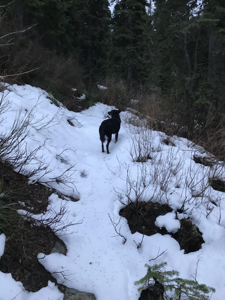
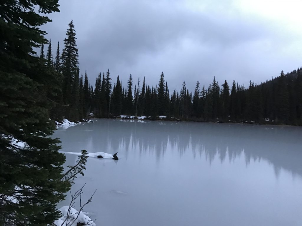
Crossing a creek in the lower third of the hike (this is not Gem Creek, though; this trail never intersects Gem Creek)Frequent crossings of small brooks (likely seasonal)The trail is well-maintainedView of the Pend Oreille Divide in the backgroundWe ran into snow at around 5600 feet.Up, up, up!A lower lake (pond, really) just beneath the brim of Gem LakeView of inlet of Gem LakeView of outlet of Gem LakeGem LakeThe snow was a foot deep at Gem LakeView of Mount Pend Oreille in dying light