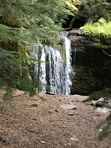
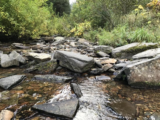
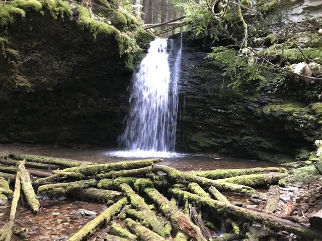
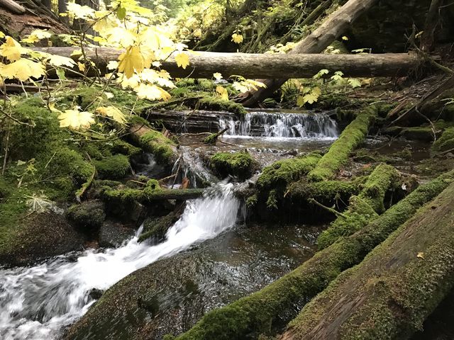
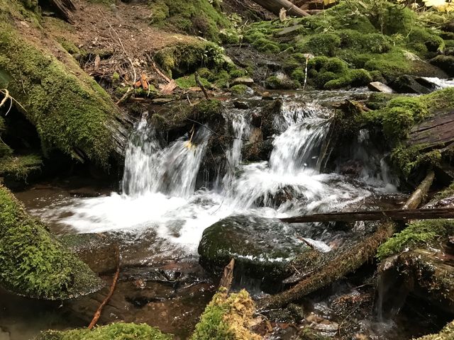
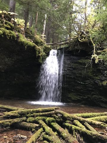
Hidden away in the Coeur d’Alene Mountains are two waterfalls along Yellow Dog Creek, the further cascading 25 feet over moss-covered rocks and logs.
| Location | Coeur d’Alene Mountains |
| Rating | 3.2 out of 5 |
| Difficulty | Moderate |
| Distance | 0.9 miles |
| Duration | 0:17 hours moving time (hiking) |
| Elevation Gain | 229 feet |
| High Point | 3,519 feet |
| Low Point | 3,078 feet |
| Trail Type | Out-and-back |
| Trailbed | Packed dirt |
| Water | Yellow Dog Creek |
| Status | Unprotected |
| Administration | Coeur d’Alene National Forest |
| Conditions | Excellent |
| Permits | None required |
| Camping | None |
| Maps | USGS Pond Peak |
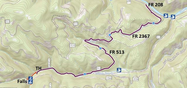
| Trailhead | From I-90 take exit #43 (Kingston). Head north on FH9 for 23 miles past Prichard, at which point the road turn into FR 208. Continue for another 14 or so miles to FR2367, Beetle Creek Road (it is signed Fern/Shadow Falls). From the turn-off on FR2367 follow the signs to Shadow Falls. It is approximately 4.5 miles to the trailhead. The last 3 miles of the road are a bit bumpy.
Google Directions (47.761407, -116.102453) |
| Season | May – November |
| Squirrel Density | Excellent |
| Features | Waterfall |
| Distance From |
|
| Resources | |
| Nearby Hikes | |
| Date | October 1, 2017 |
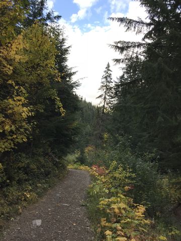
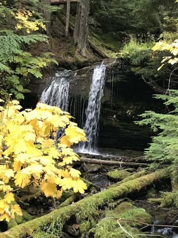
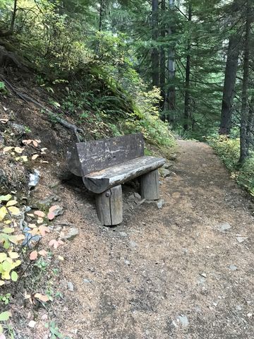
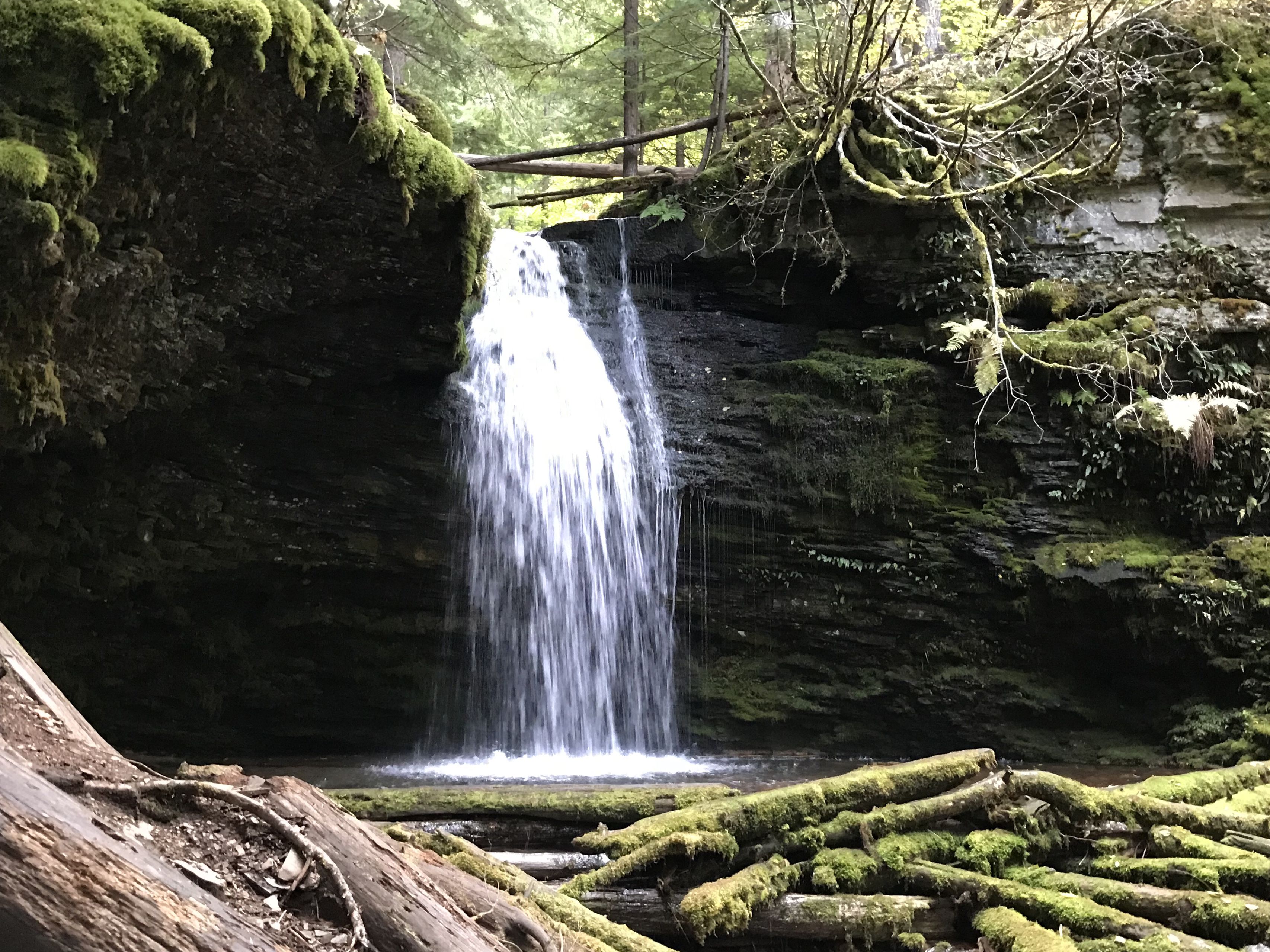 You will find Fern Falls just a quarter mile up the wide and easy trail. Continue on to a switchback, then ascend the flank of the mountain for perhaps half a mile to reach Shadow Falls hidden away in the forest upstream. Alas, the footbridge across the stream is in tatters…
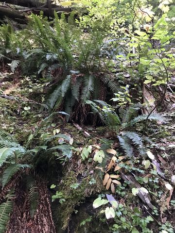
Hidden in the ferns near Shadow Falls is a geocache.
Enjoy this hike? Let us know in the comments below!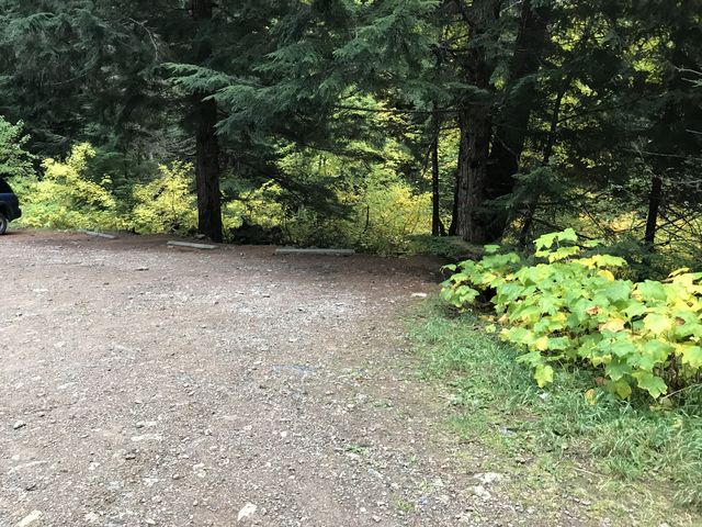

© 2016 – 2017 NaughtyHiker. All rights reserved. No duplication without permission.