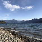
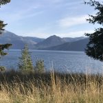
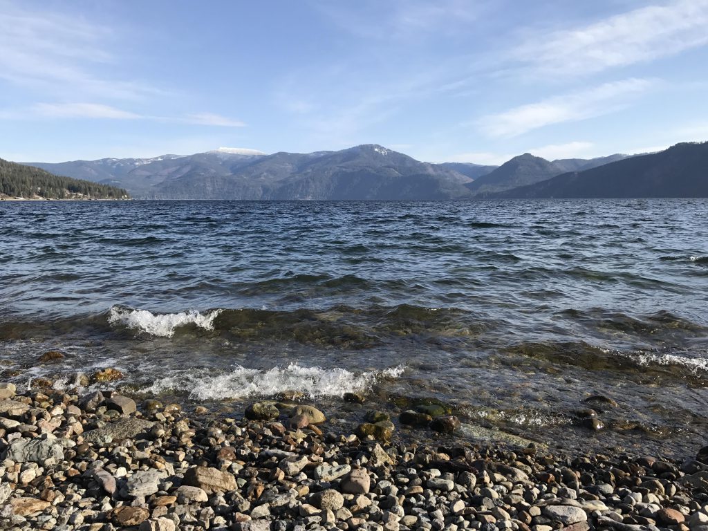
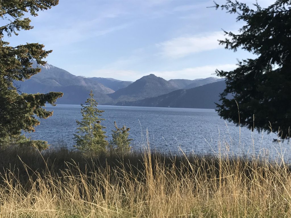
- Coeur d’Alene Mountains
- Campsites, electricity, showers, flush toilets, dump station, cabins, picnic area, boat launch, swim beach
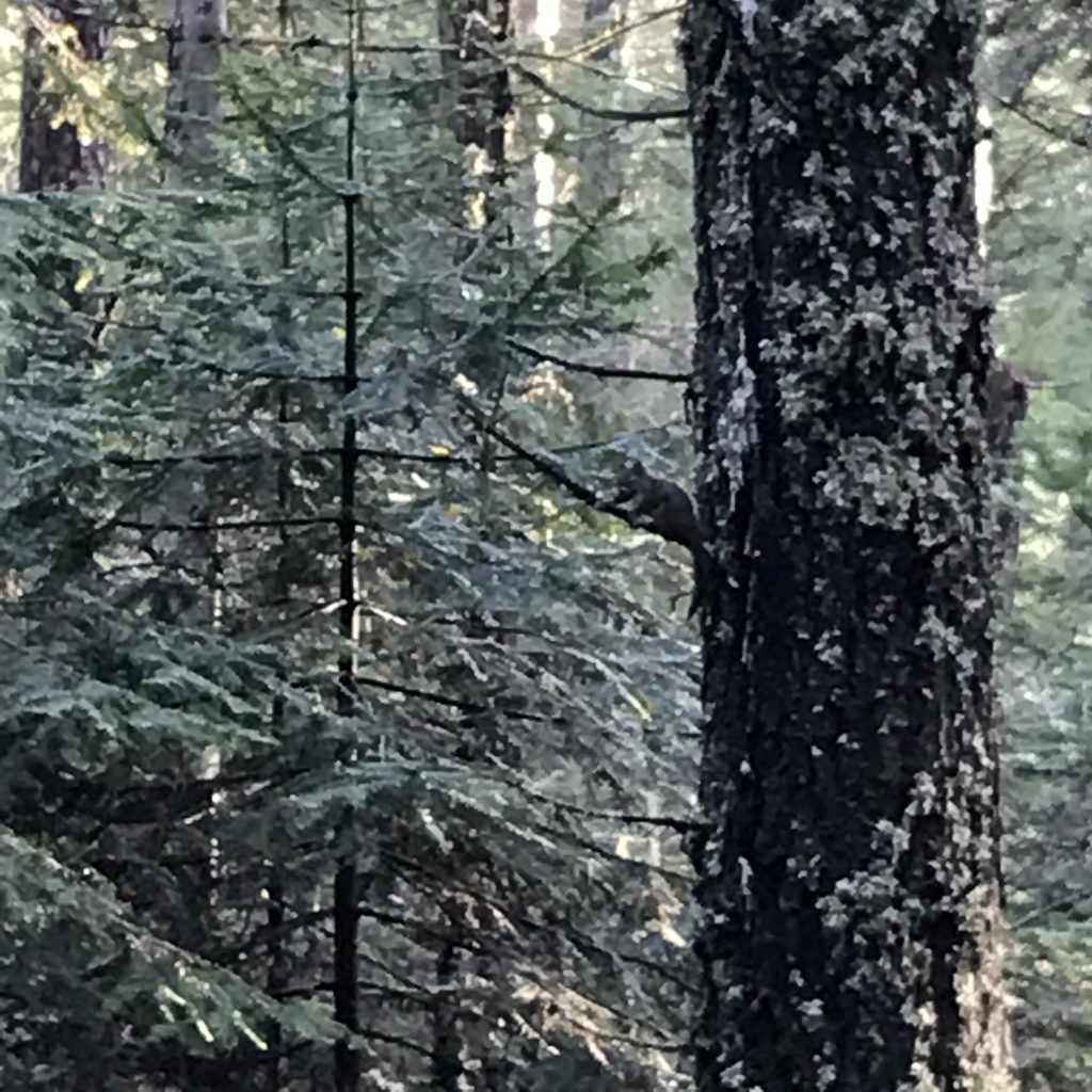
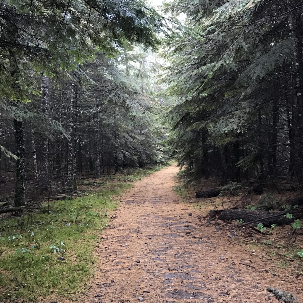
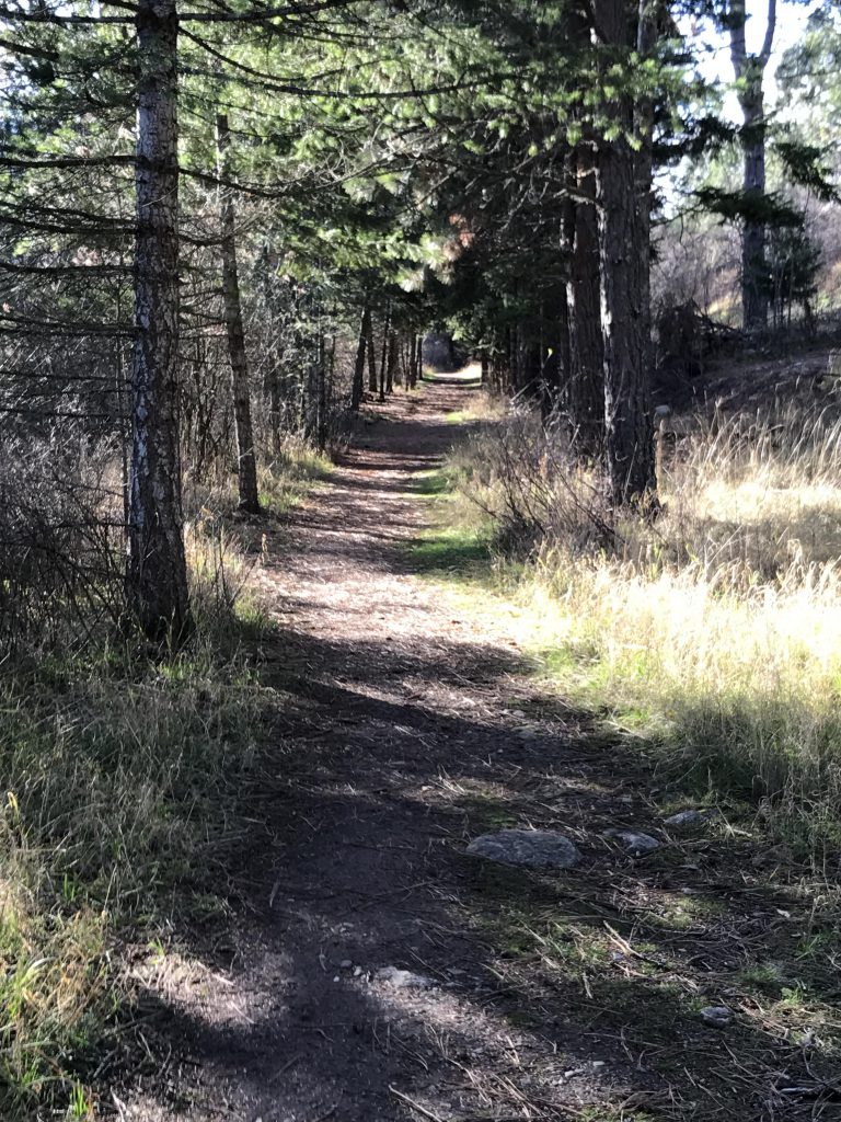
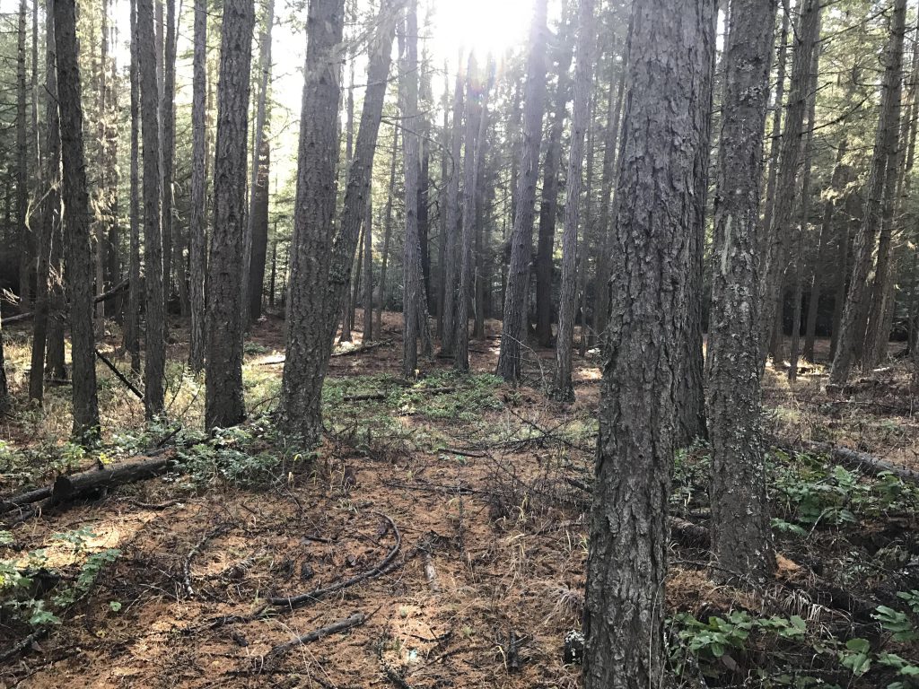
- The entire trail system is well-maintained
There is a maze of trails at Farragut State Park, so it’s best to download the summer trail map (below). Intersections of trails are identified by numbers on the map, and those numbers are referred to by markers on the actual trails. There’s a separate identifier for the Loop Trail on many posts, but after marker #25 this is a bit erratic, so here is the sequence for a clockwise hike: 0, 2, 3, 5, 6, 8, 9, 12, 11, 14, 15, 25, 24, 23, 21, 93, 92, 91, 86, 87, 83, 84, 74, 72, 69, 64, 63, 62, 61, 60, 58, 59, 47, 46, 42
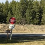
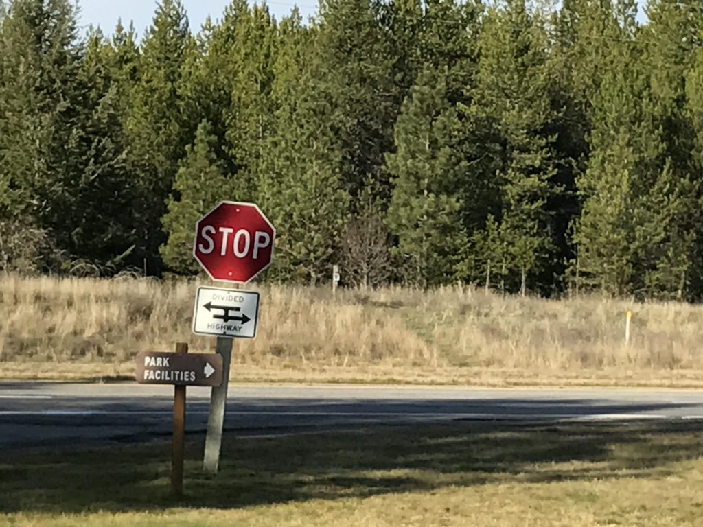
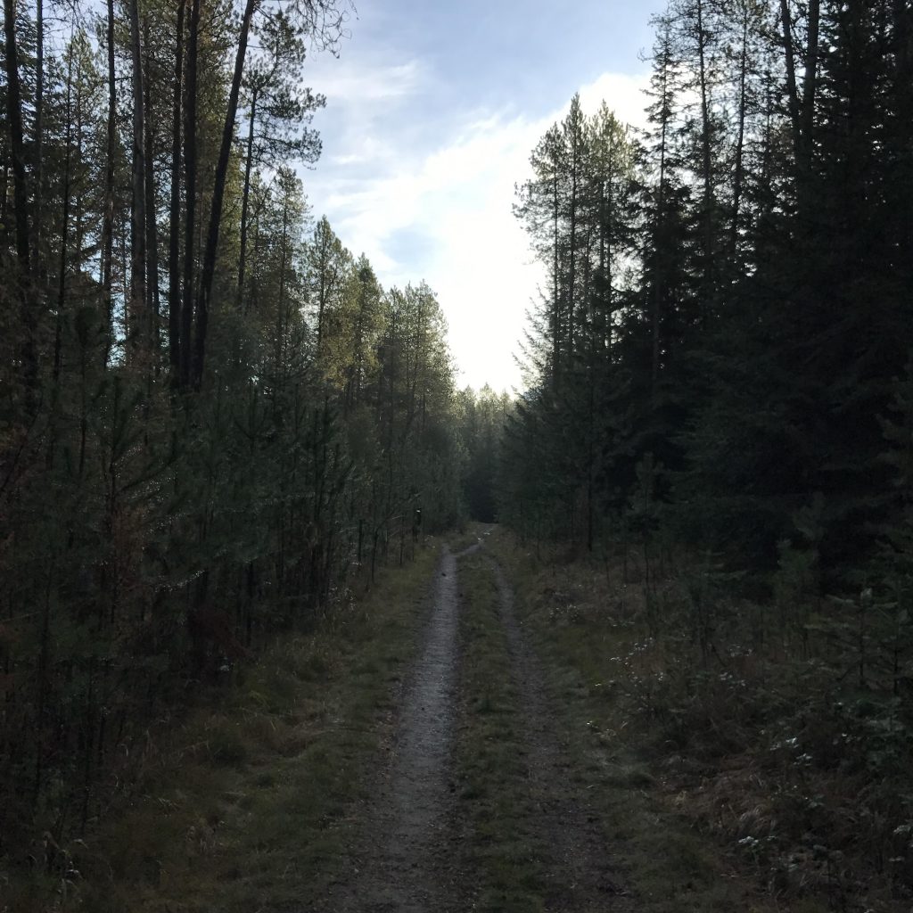
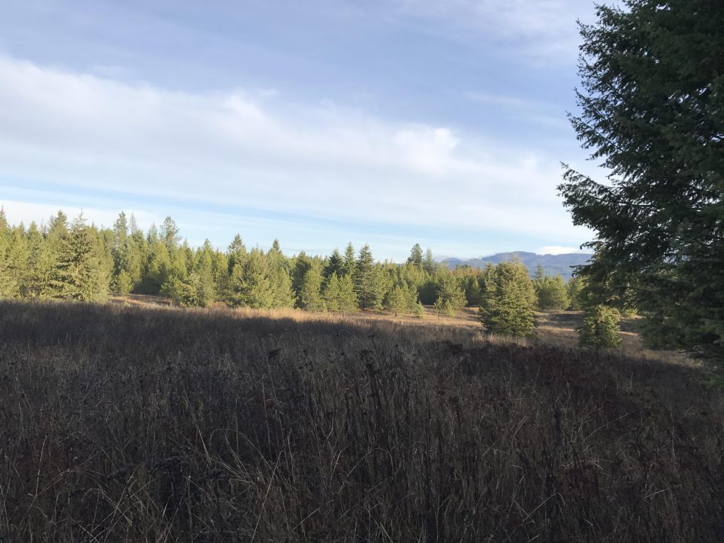
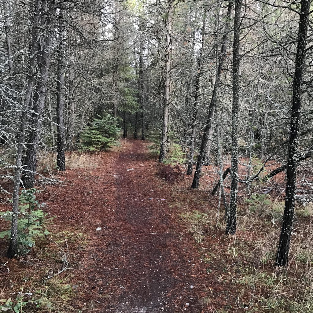
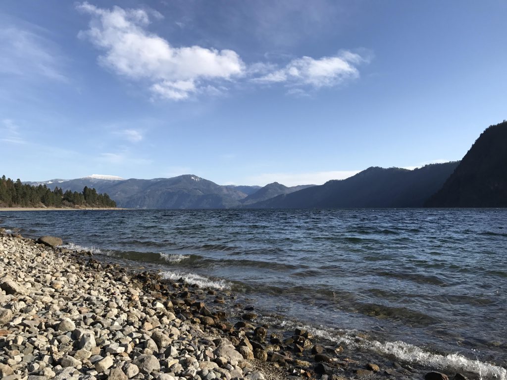
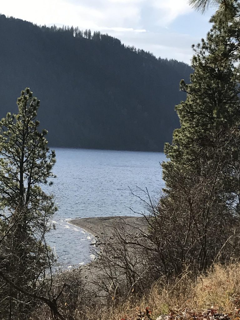
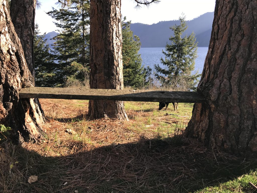
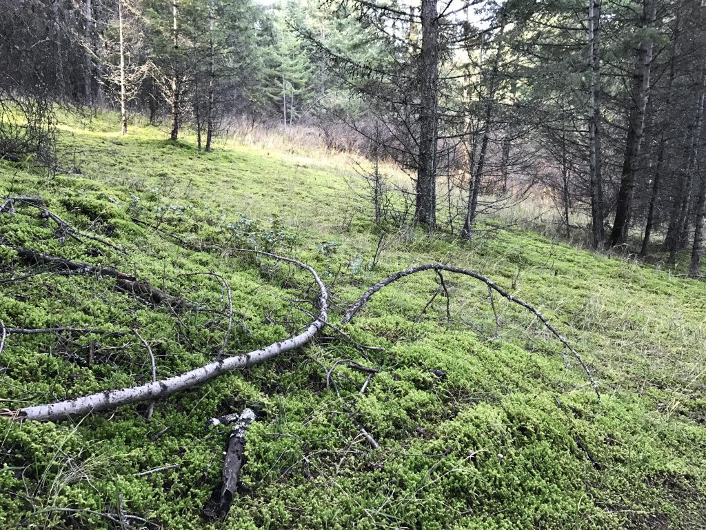
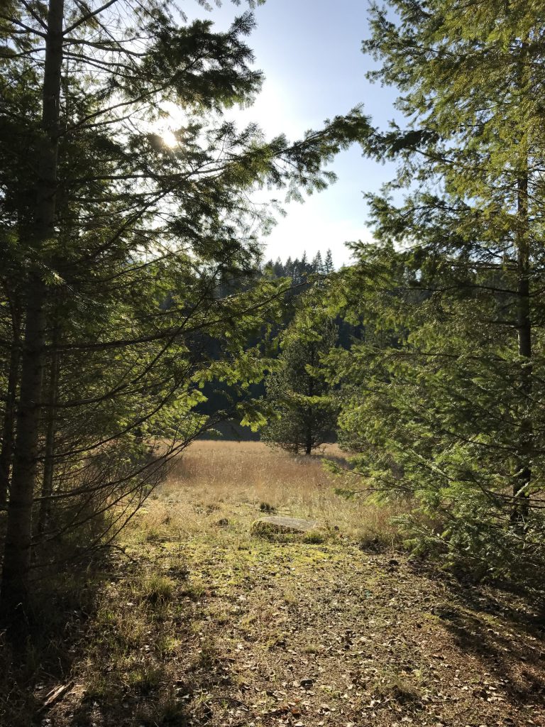
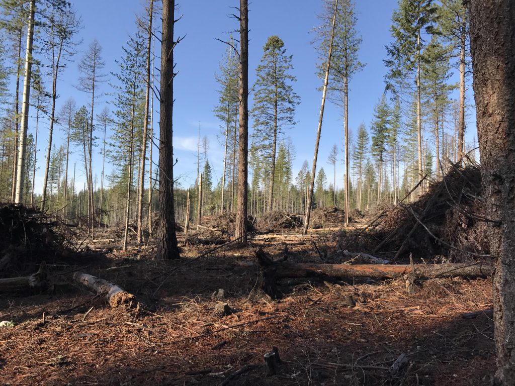
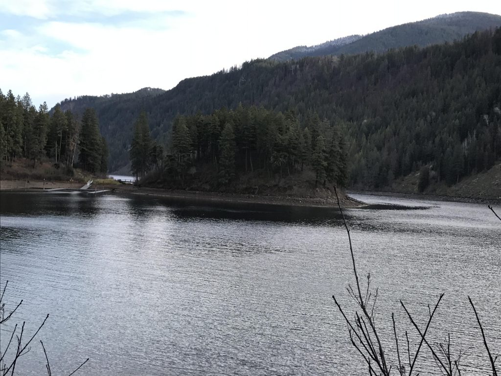
The trail starts on the far side of Highway 54, just opposite the stop sign at the visitor center. There is a small milepost, labeled intersection “0”. A single track leads slightly to the right into the woods, where it follows an old roadbed that has been largely reclaimed by nature. For the first half of the hike, the path is rather uneventful and stays in the forested area, with a few meadows tossed in for variety. The path leads steadily north-northwest, and once past intersection #5 parallels a road. It is now a double-track serving double duty as a buggy trail. It heads north, then swerves sharply west to skirt a shooting range. Near Scott Field, (intersection #6) it shifts north-northeast in a long forested (lots of larches) run towards intersection #9 (along this stretch it crosses an access road to the shooting range). Then it is west again, along the shooting range, to the edge of the park. There it turns north and drops downhill in a straight line along a fence line. At intersection #12 the path turns east once again, and for a long run parallels the norther park boundary. The woods to the left are quite young, with lots of skinny, tall pines, while the trees to the south look older and statelier. The ground is covered with pretty mosses. Past intersection #14 the trail shifts southwards, then veers away in the form of a single track at intersection #15. The trail meanders left and right and eventually emerges onto a road with signs of recent logging activity: The area south of the road is virtually clearcut. The trail continues past the clearcut and emerges on a very wide road without any marker whatsoever (this is halfway between intersections 25 & 24). Follow that road south to reach intersection #24. Take a left towards intersection #23 (take the single track; the double track is the buggy trail leading back to #15), for a walk past a wonderful meadow to the intersection with US-54. Cross US-54 (intersection #93) to find the trail veering northeast and ultimately morphing into a wide moss-invaded asphalt road. The road passes a residence and continues eastwards to intersection #93 on the left. Looking downhill, you can see the first filtered views of Lake Pend Oreille (Scenic Bay) and the city of Bayview huddled on its shore. The trail moves downhill for a short while, then veers right for a pleasant walk in the woods with Scenic Bay a blue shimmering background to the left. Watch out for two things: don’t trip over the cable that is stretched through the woods and across the path (no idea what for) and intersection #91 (go straight). Continue along the side of the hill, now in an east-southeasterly fashion, as the path pulls away from the lake and crosses a more open forest with a thick carpet of lush moss. Head straight at intersection #86 and drop down to the park’s main road in front of the Willow/Sunrise Day Use Area access road. Cross the road and take the single track leading away to the left, skirting the upper level of rental cabins. The trail curves around and approaches the lower level of cabins (where there’s water, if you need any). Instead of entering the day use area, take the trail to the left that pulls away and heads northeast to a fantastic photo opportunity of Lake Pend Oreille and the Cabinet Mountains.
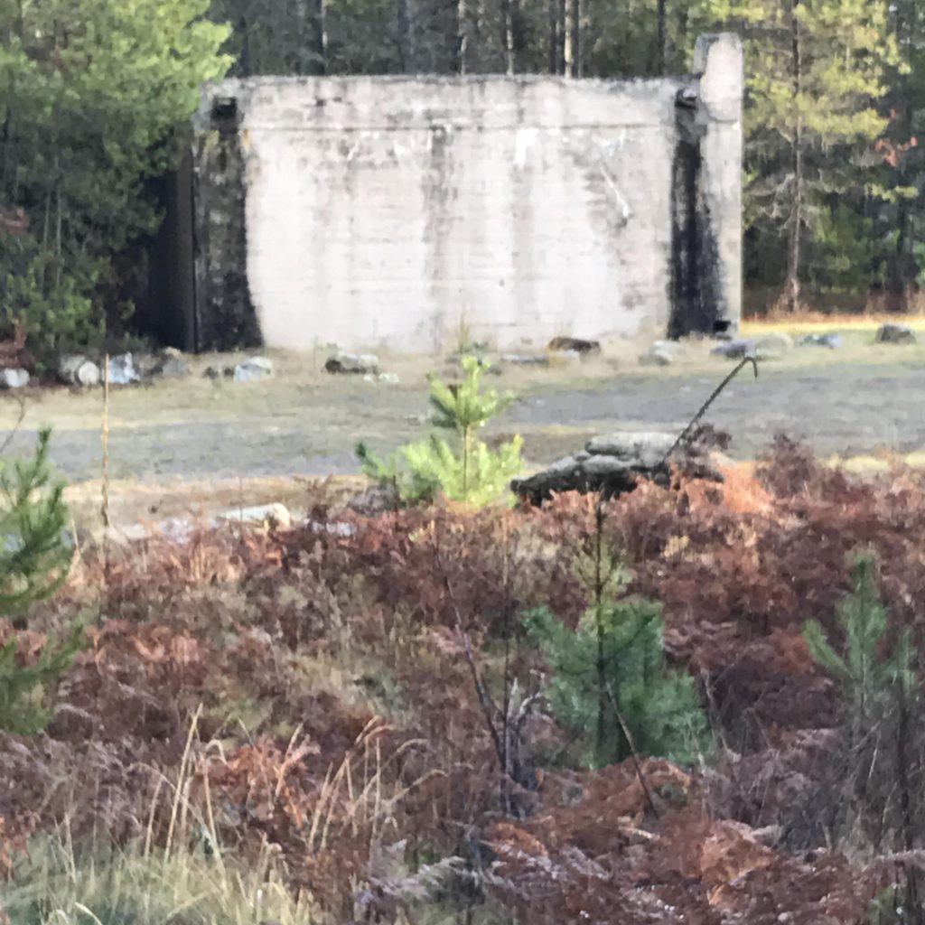
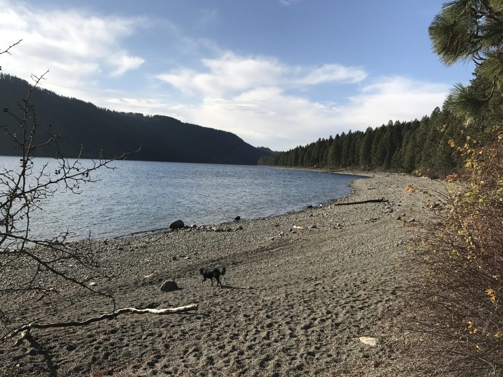
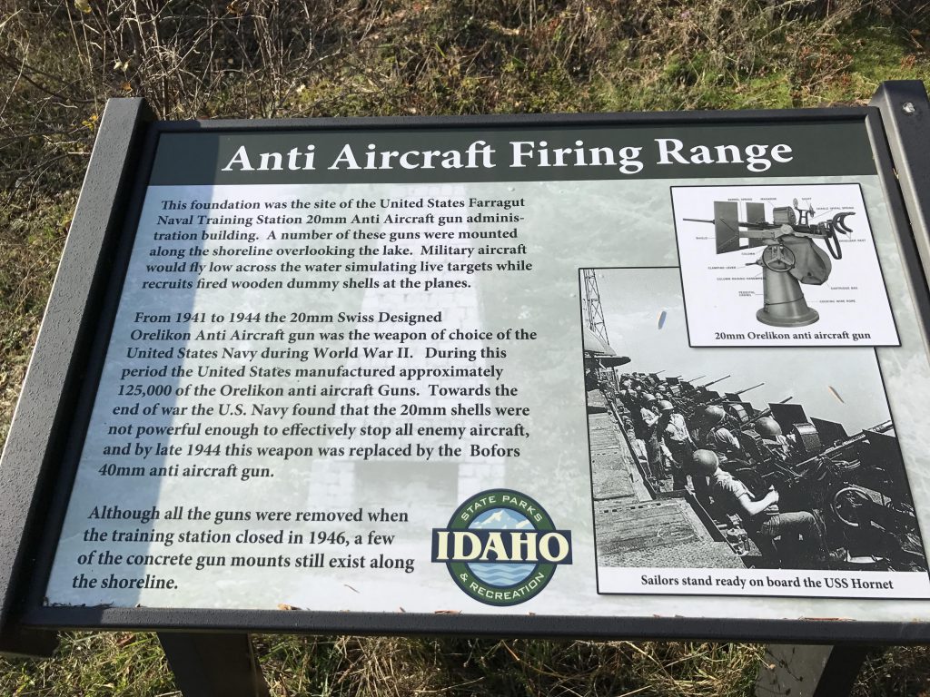
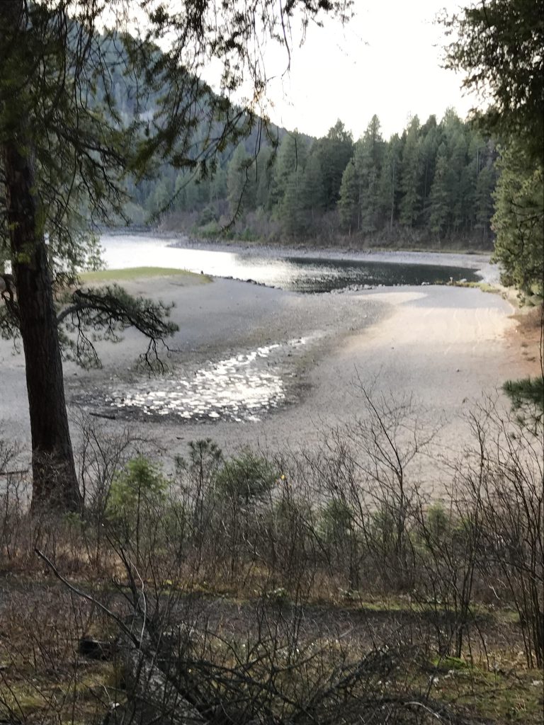
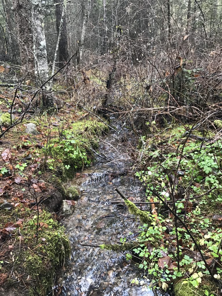
Then the trail turns south and follows the lake shore closely. It passes the anti-aircraft-guns administration building (what’s left of it, anyway, which is a chimney) and is dotted with benches and seats to take in the grand views. Soon the trail approaches the park’s boat launch and continues on the far side, hugging Idlewilde Bay closely and showing off Bernard Peak in its best light (depending on the time of day…). Ignore all the trails to the right that join the Shoreline Trail; the Shoreline Trail will eventually ascend the hill on its own and emerge onto the parking lot of the Beaver Bay swim area (#63). Just before the parking lot, the single track leads northwards (#62) and skirts the parking lot in wide arc, crosses the blacktopped road, (#61), then shifts southwest to a spot above the swimming area (#60). Follow the trail north and west, skirting the swim area on the way to #58. Stick to the lake shore as the path drops down to a small peninsula ahead of Buttonhook Bay. A bridge leads out to the peninsula, and there is plenty of mooring in Buttonhook Bay if you want to arrive by boat. Trace your steps around Buttonhook Bay to an exciting viewpoint at the very southern tip of the lake with a view of the peninsula and Idlewilde Bay. Then the trail moves uphill, finds a small brook and follows it to intersection #47. There are a number of ways to get back to the visitor center from here; a straightforward one is to #46, then #42, all the while remaining beneath a sheltered forest canopy. From #42 follow the signs to the visitor center.
Alternate Routes
- To shorten the hike, start out counterclockwise and after the boat launch take the blacktopped trail north to join up with a loop that leads past Whitetail Campground
- Or, start out at the Beaver Bay Beach parking lot
- Or, drive to the Sunrise Day Use Area and do as much of the loop as you like
- There is shorter “Squirrel Cache Trail” (1.2 miles) between Gilmore and Waldron campgrounds
Things to Consider
Not so great


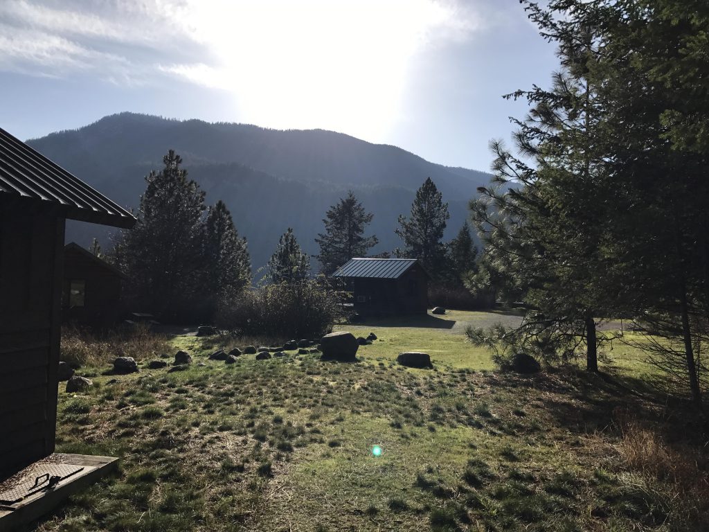
The rental cabins look nice! 👍