- Cabinet Mountains
- There are several sites at the lake
- Good, particularly the stretch along the ridge above Engle Lake that gets more foot traffic than #926
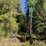
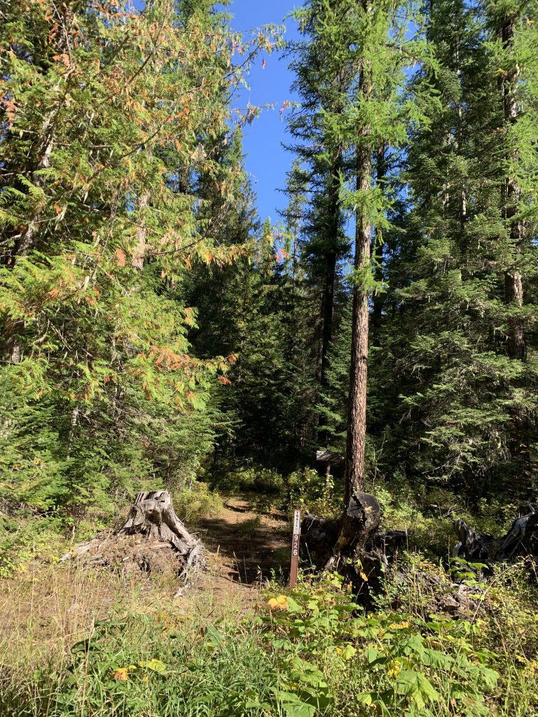
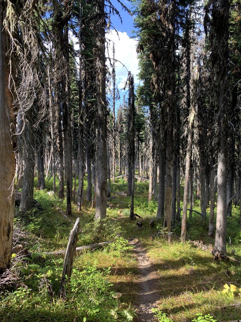
Trail #926 immediately starts out as a singletrack that enters the woods and keeps on climbing. The trail sign-in booth is about a hundred yards uphill. The trail, making use of old skid roads, continues to climb and is in surprisingly good condition, given that it is little used. It remains fairly wooded all around, with only occasional hillside views. Constantly climbing, the trail crosses a forest road twice (FR-2287).
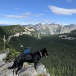
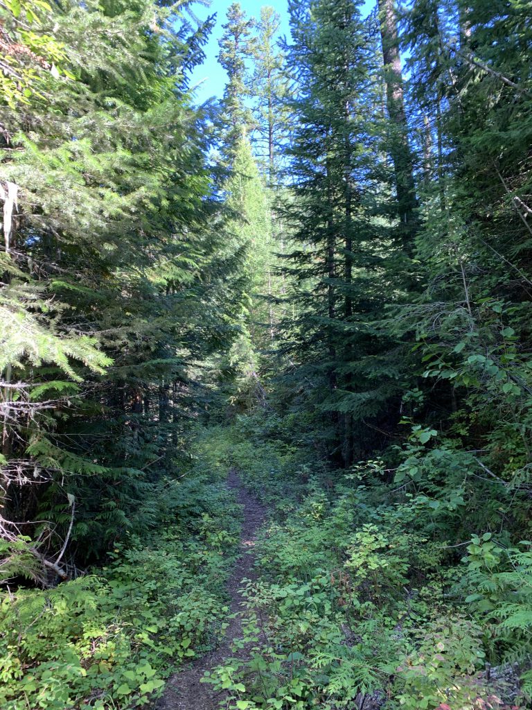
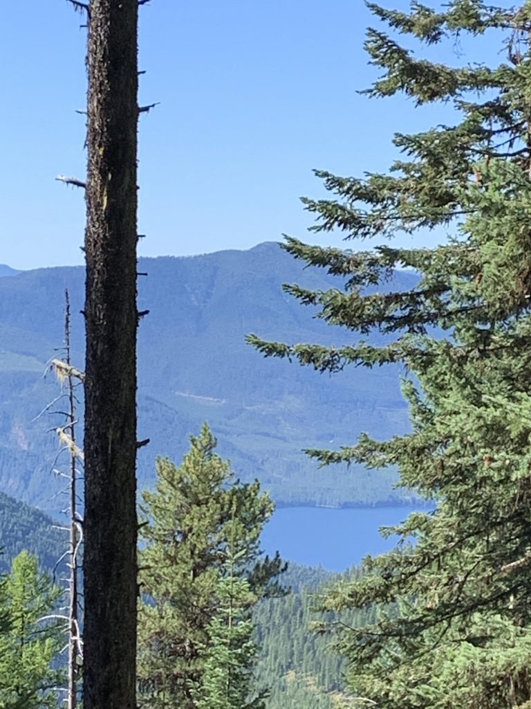
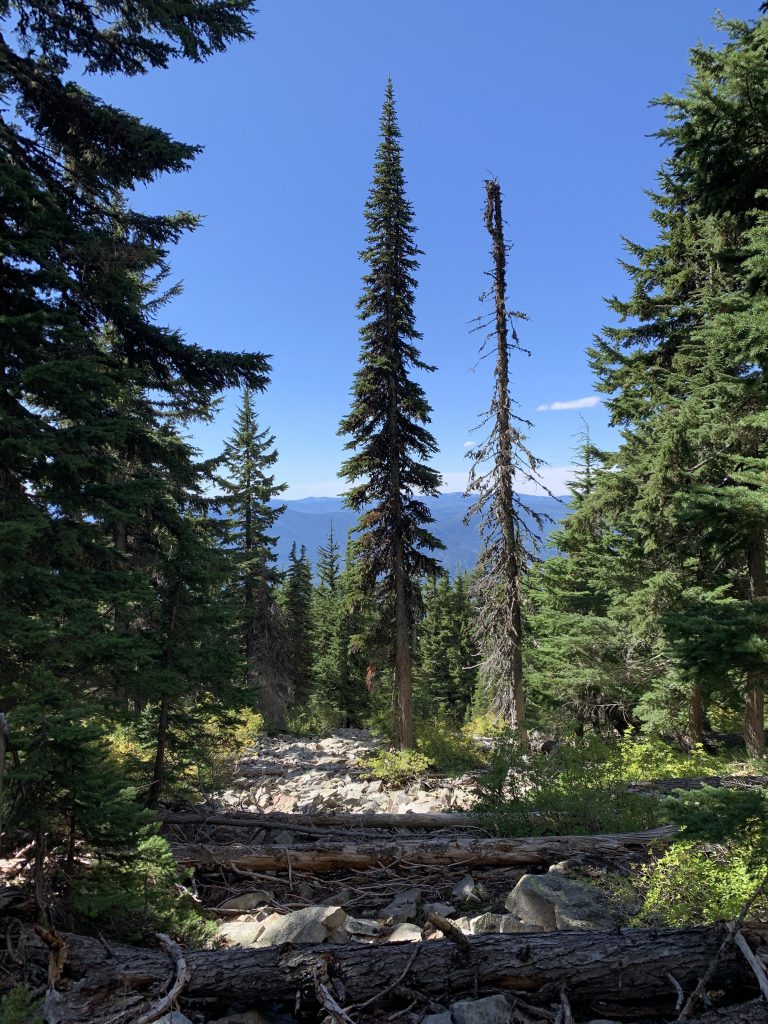
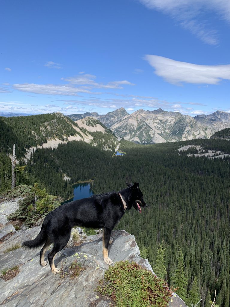
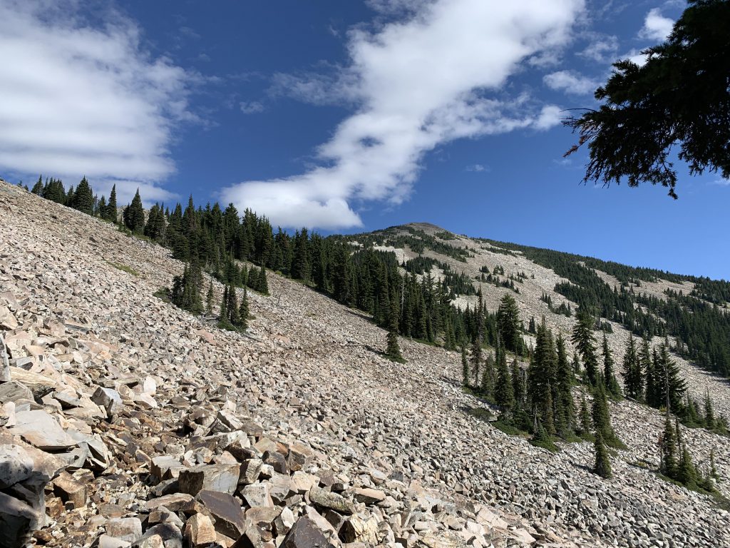
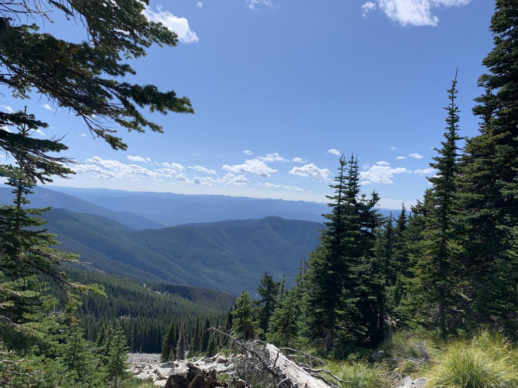
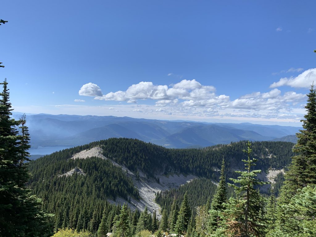
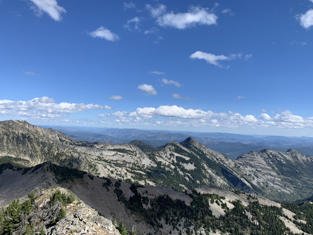
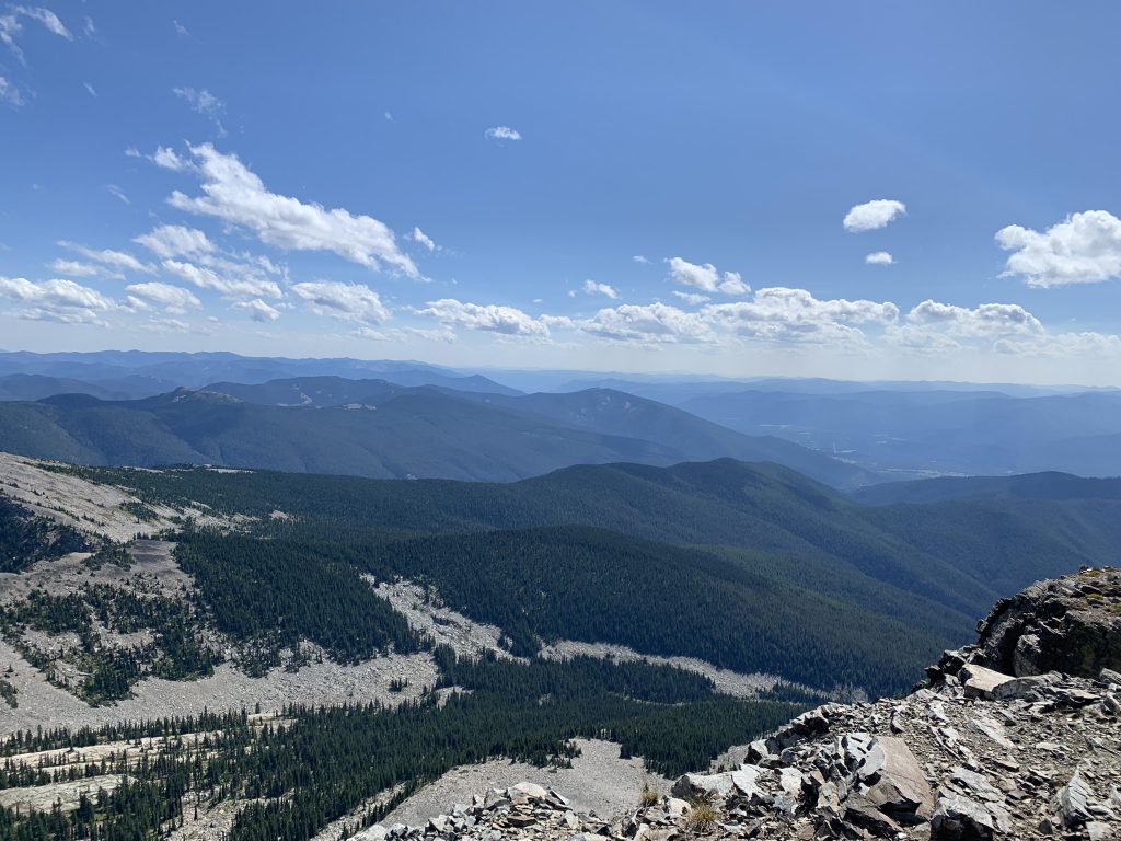
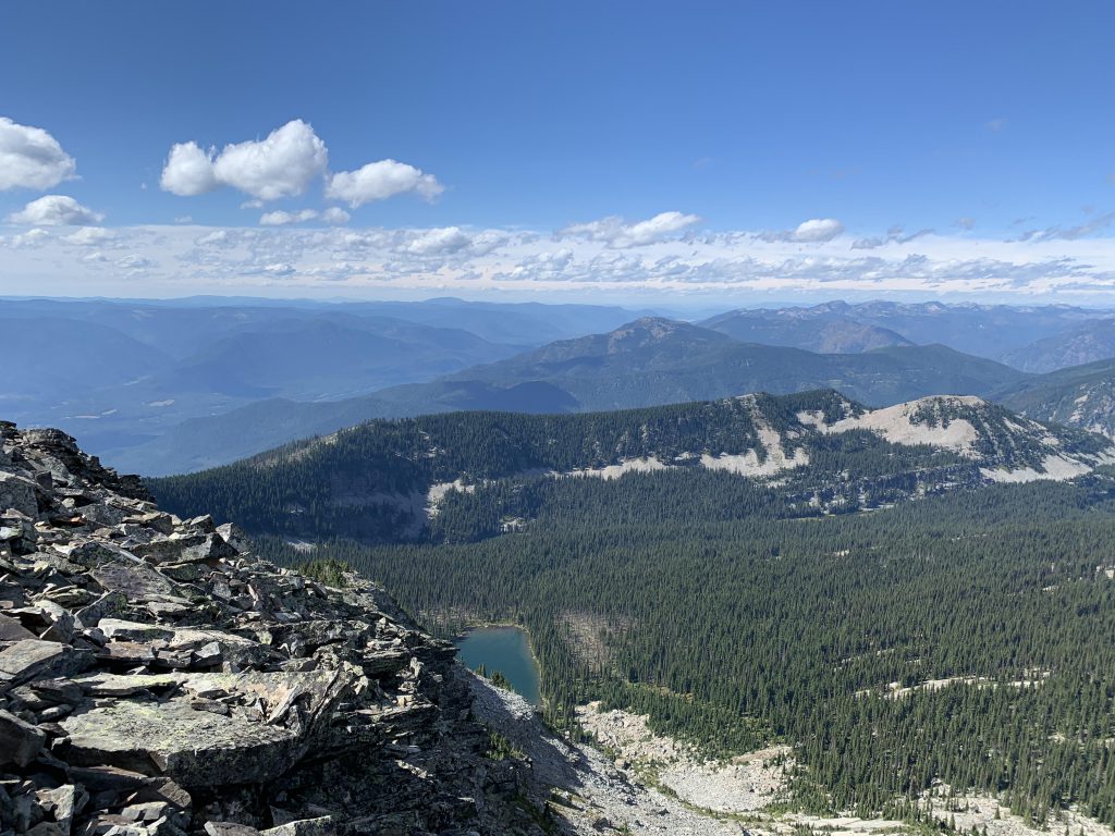
About 1.5 miles in, the trail crosses a small creek, the last source of water ahead of Engle Lake. The trail then starts to switchback seriously, while still heavily wooded. It is now a proper singletrack and occasionally grows faint in places, particularly switchback turns. Watch out for arrows carved into logs. About 4 miles in, the forest retreats a bit, disturbed by many rockslides. It heads west when it feels like you should be going east, and meets up with the second Engle Lake trail (#932) on the ridge about a half mile later. The trail then follows the ridge, enabling truly spectacular views into the Engle Lake basin and the Idaho mountains. Hiking is now much easier, with the slope still rising, but at a much lesser incline. In fact, at some point the trail actually drops down the western side, before traversing a huge talus slope and climbing back up to the ridge (we bushwhacked from this spot to trail #926 on the way back to avoid the detour to the ridge. The forest is quite open due to the talus).
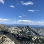
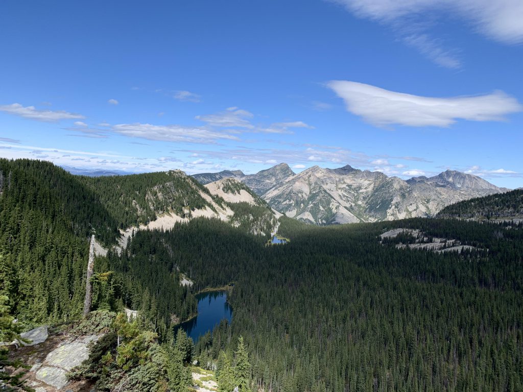
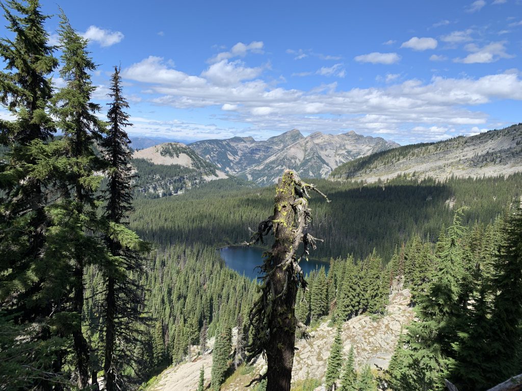
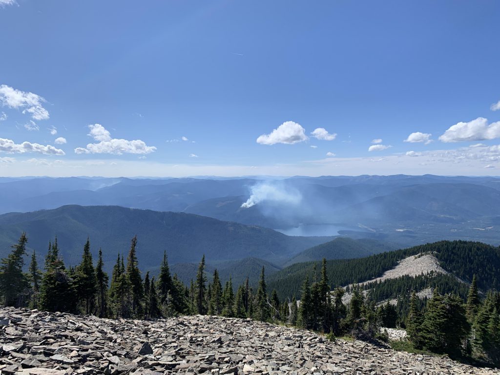
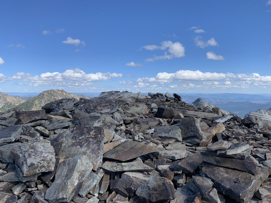
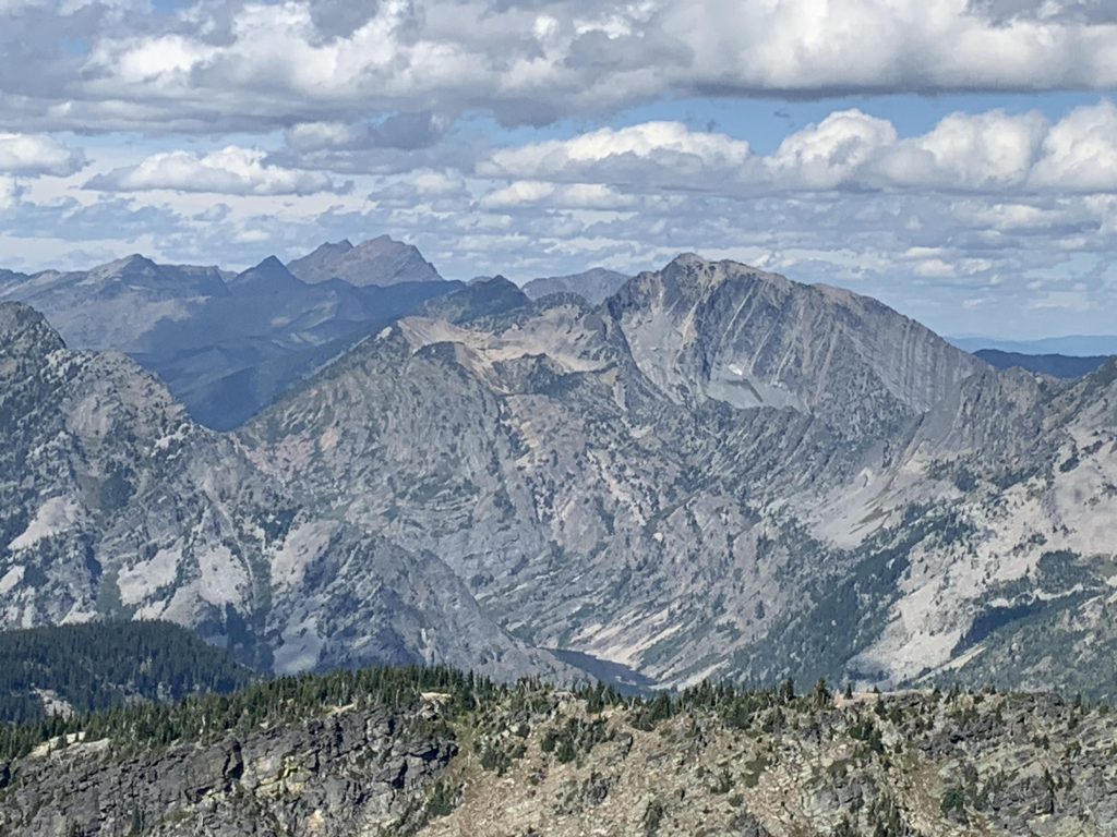
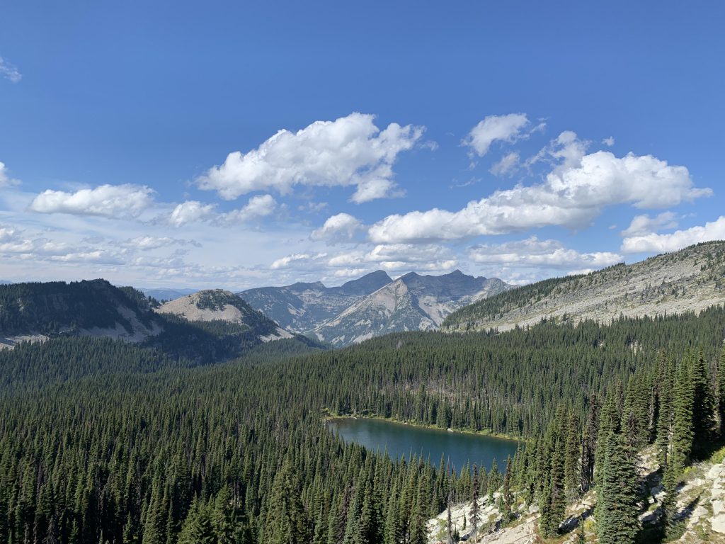
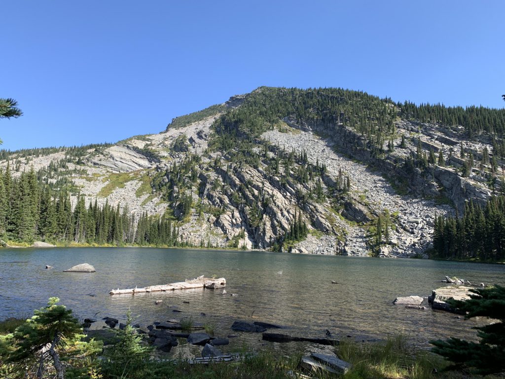
At the 5-mile marker the trail splits, with the left-hand side dropping down 500 vertical feet to Engle Lake, while the right fork climbs another 1000 feet on a talus-littered hillside to windswept Engle Peak. The views there are absolutely breathtaking, be it into the Coeur d’Alene Mountains across the Clark Fork Valley or the heart of the Cabinets with Rock Lake and Ojibway Peak prominently visible. Wanless lake is hiding behind a ridge, but beyond it lies Casey Peak and the easily identifiable notch that is Lost Buck Pass.
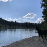
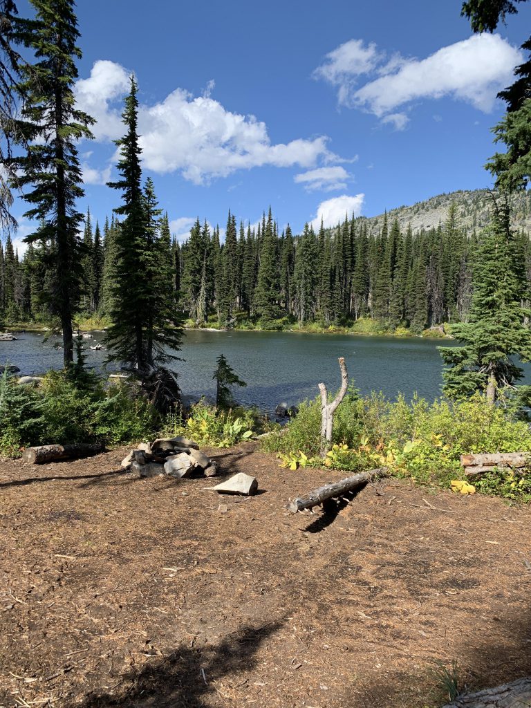
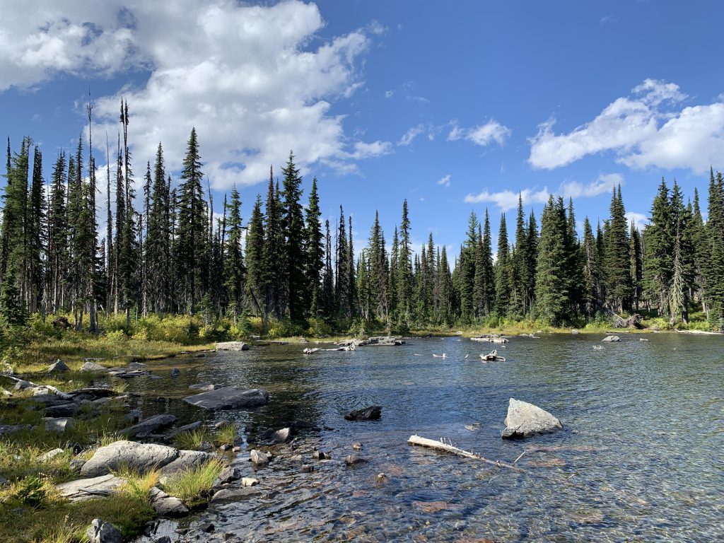
The only part of this hike that is within the Wilderness boundaries is actually the descent to Engle Lake. It’s about three-quarters of a mile. The lake simply begs for camping, which we weren’t doing, but while we whiled away the afternoon on a convenient rock slab, hikers arrived and set up camp on the other side of the lake. The lake does get a fair bit of traffic, and now you know why!
Alternate Routes
- Shorten this hike to about 6-7 miles roundtrip by driving up FR-2285 to the trailhead of #932. FR-2285 is accessed from Rock Creek Road (FR-150), which connects to MT-200 about 2 miles south of Noxon. This also cuts out much of the elevation gain, with a trailhead at about 5000 feet.
- You could explore the other lakes. That’s a serious bushwhack
Things to Consider
Not so great