- Selkirk Mountains
- None (Dickensheet Campground is a bit further north, closer to Priest Lake)
- Excellent, except for the bushwhack to Mission Falls
Having finished the Bead Lake hike in the morning, and drunk all but half a liter of the water we brought along, we headed over to the Chipmunk Rapids trailhead in the hopes of finding water at the trailhead. There is a dump station, but no water. Bummer!
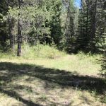
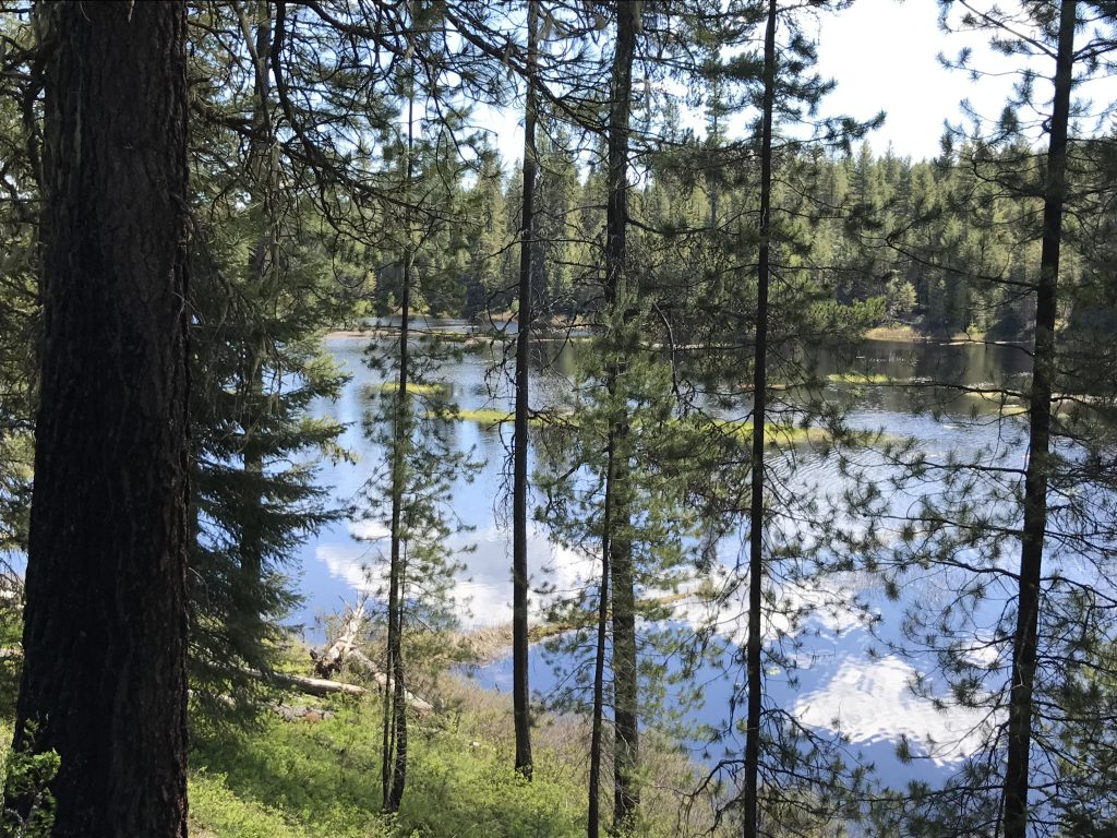
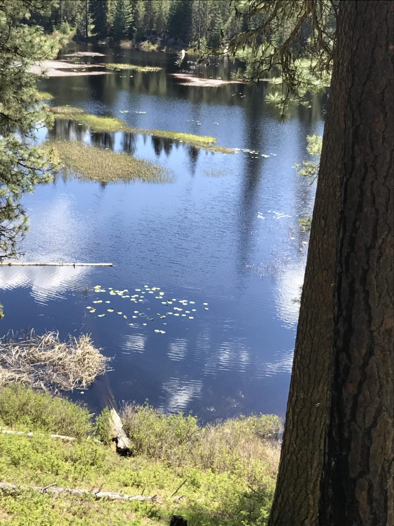
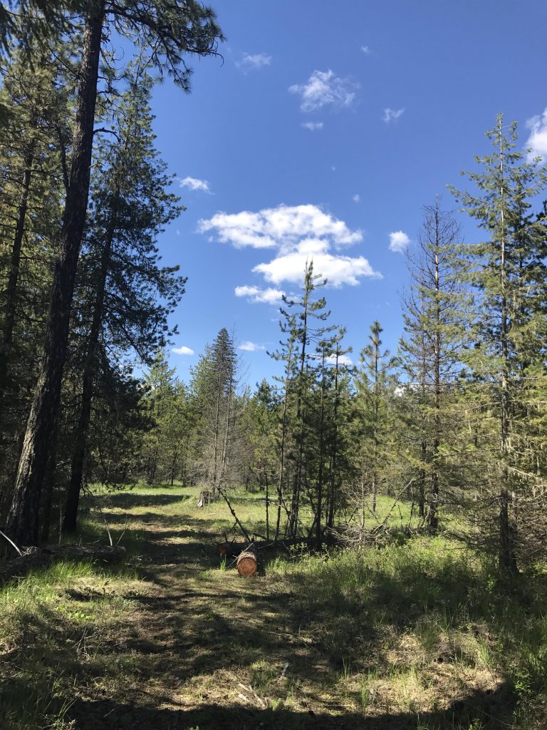
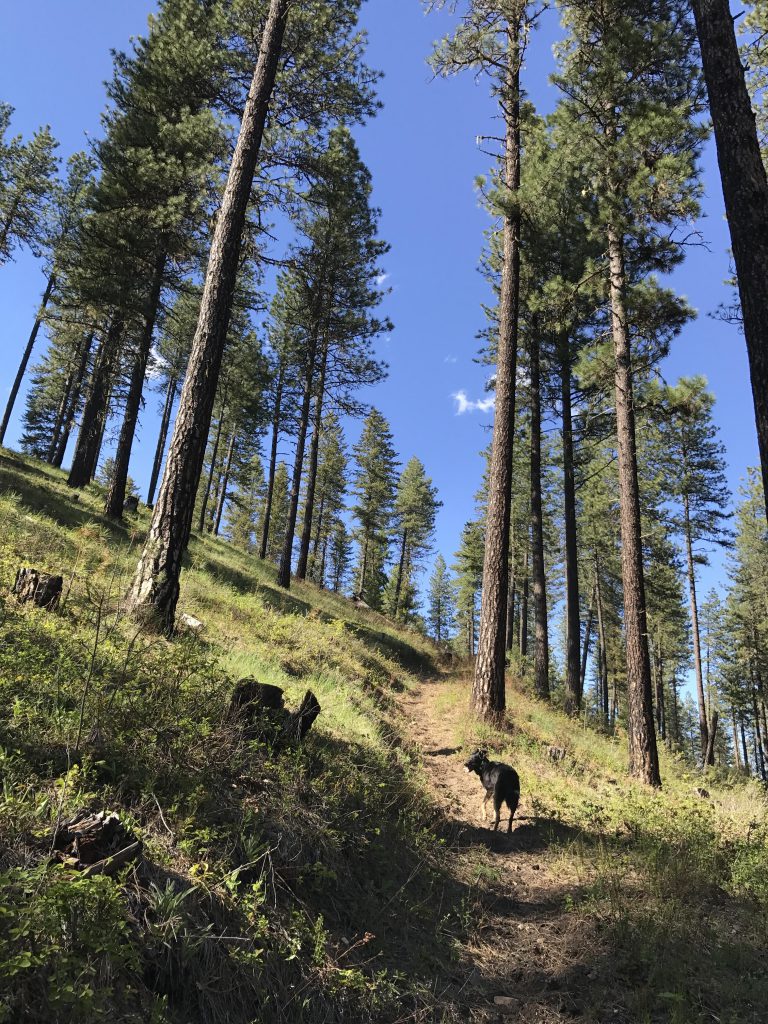
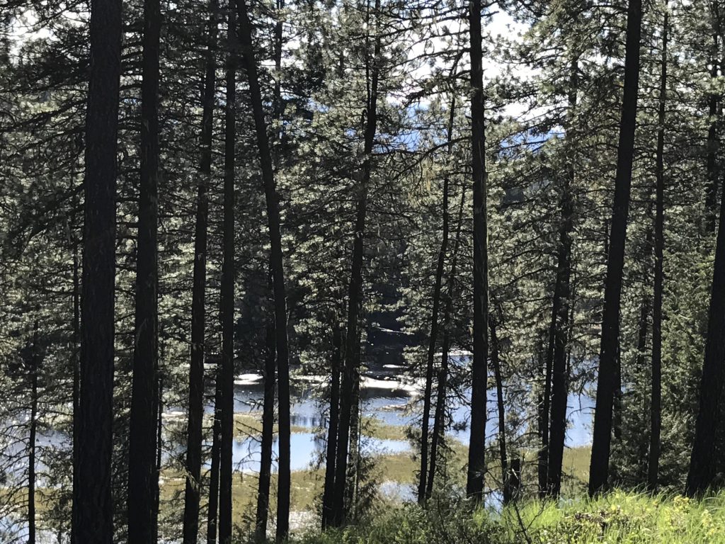
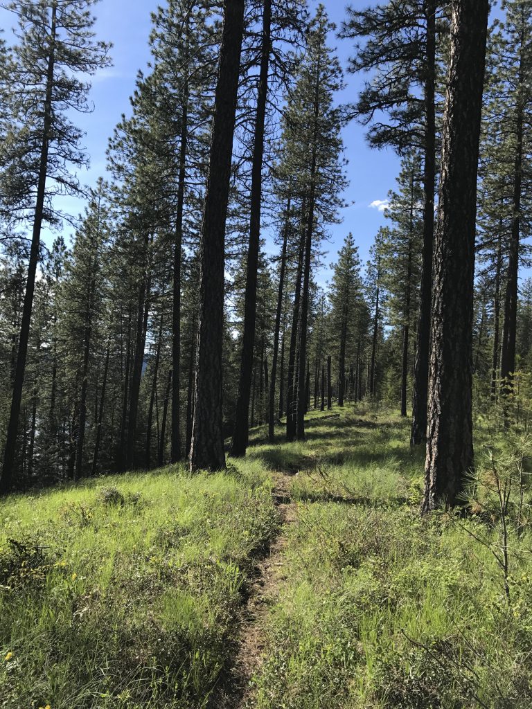
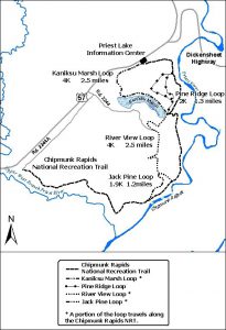
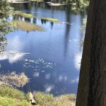
The trailhead is actually an unmanned welcome center, consisting of bathrooms, picnic tables, and a series of large illustrated signs explaining the history and geology of the area. The trail starts out as a graveled single-track in the back of the welcome area, next to a sign-in box. It loops around a bit, then drops lower and westwards, paralleling Highway 57, but beneath it so that you don’t really hear much of the traffic. As the trail declines, now an abandoned logging road, it enters an open forest of pine and fir. It curves around, then heads pretty much due south as it approaches Kaniksu Marsh. This is a broad shallow wetland with many small islands that makes that perfect setting for a hungry moose. We didn’t see any, though, only a white-tailed buck that Naughty half-heartedly pursued (as in a 20-second chase). The marsh is rather pretty, and that alone is worth going on this loop!
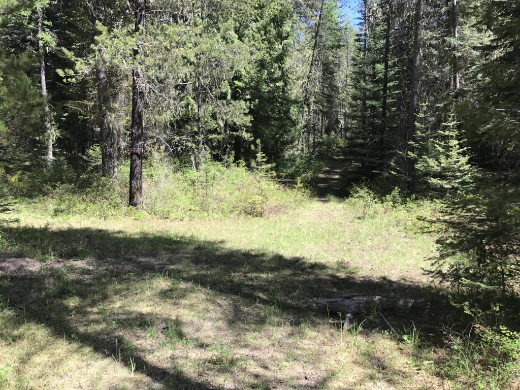
The trail continues along the wetland, but stays a fair bit above it; so much so that we decided not to fill our water bottles, counting on a better spot along the Priest River. About 1.5 miles into the hike you come to an intersection with the Pine Ridge Loop, the Riverview Loop, and the other half of the Kaniksu Loop. Take a sharp right for the western section of the Riverview Loop.
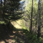
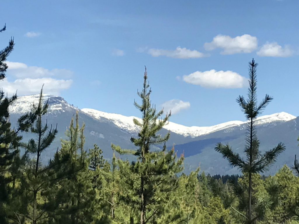
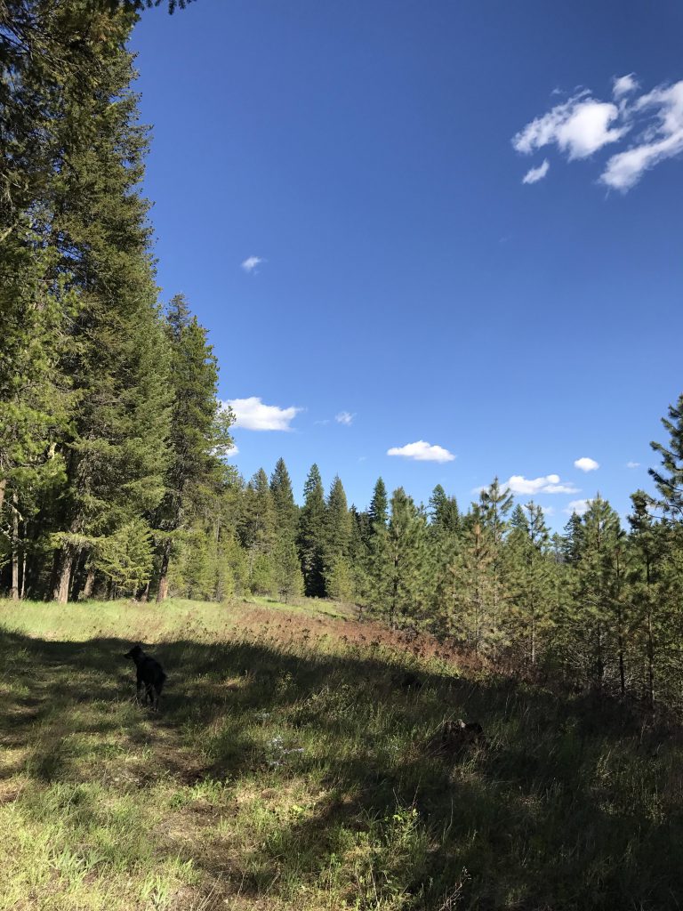
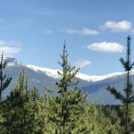
Contrary to its name, this loop does not offer any views of the river at all, at least not in this section. Instead, it is a well-shaded double-track that presents occasional views of distant snow-covered peaks. It also gave Naughty a chance to pursue a lone turkey, which gobbled and took to the skies.
At the 3-mile mark we switched to the Jack Pine Loop (it is signed; bear right), where Naughty went after her dearest prey–squirrels. This loop is rather short and quickly brings you to the intersection with the Chipmunk Rapids National Recreation Trail, signed as FR 2244.
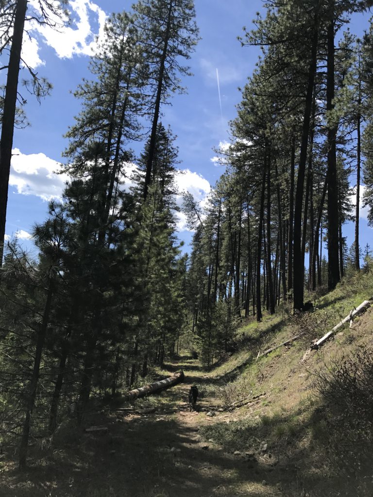
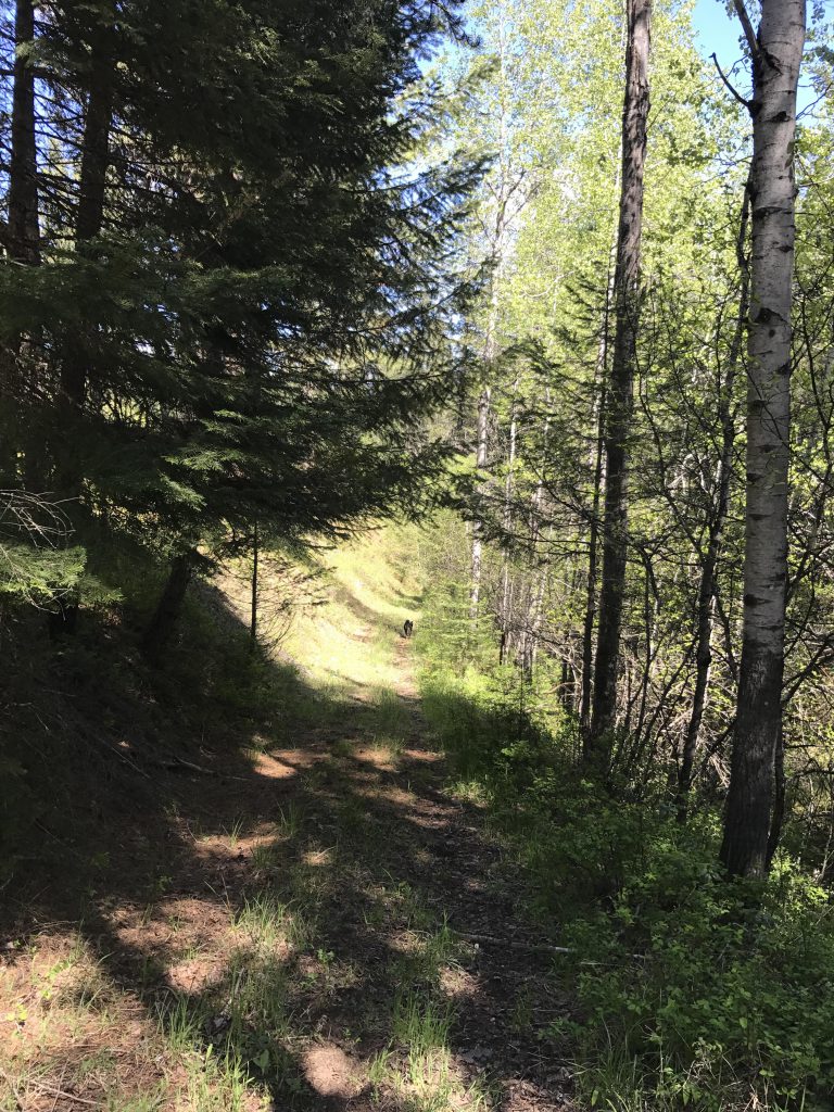
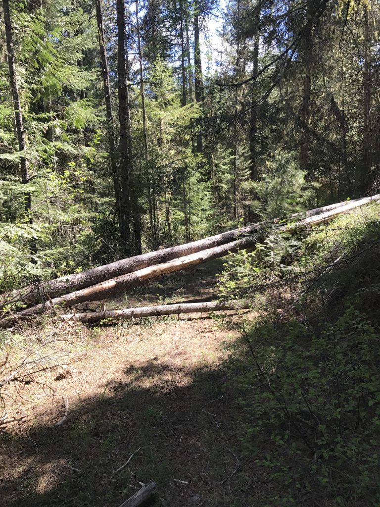
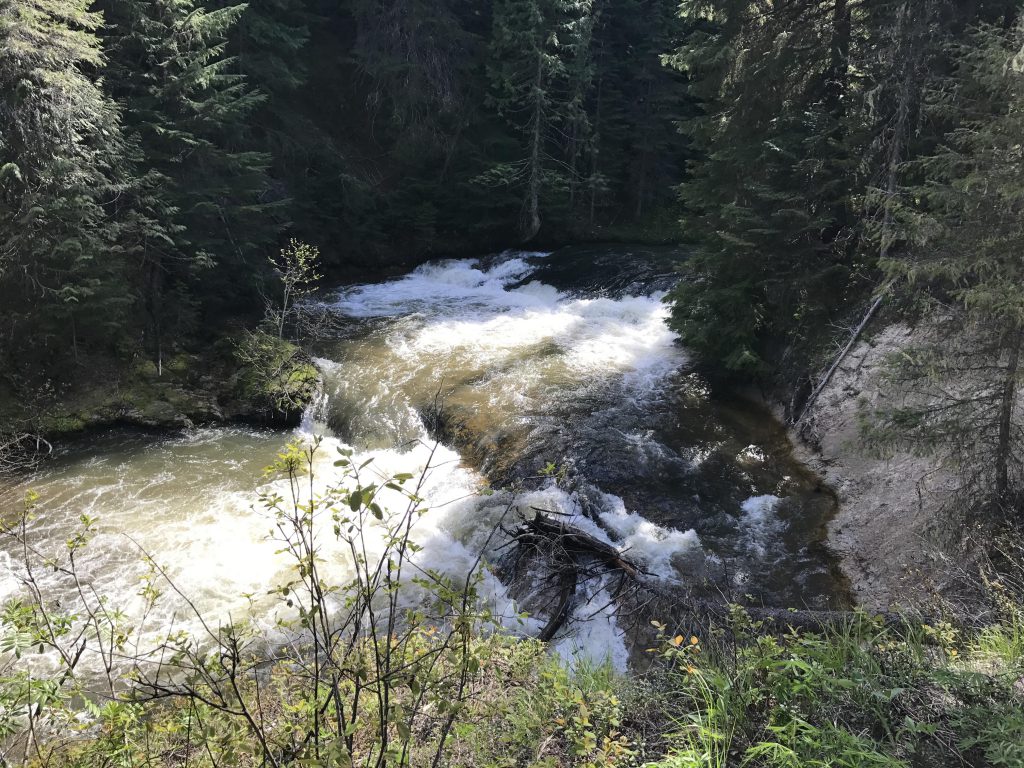
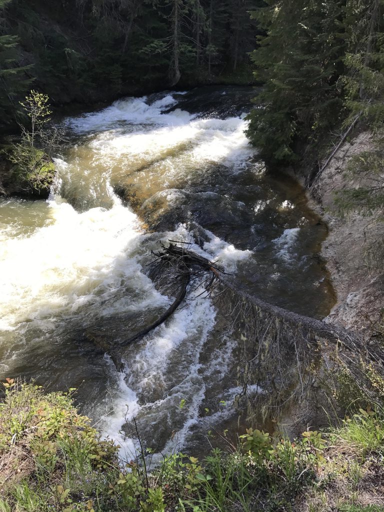
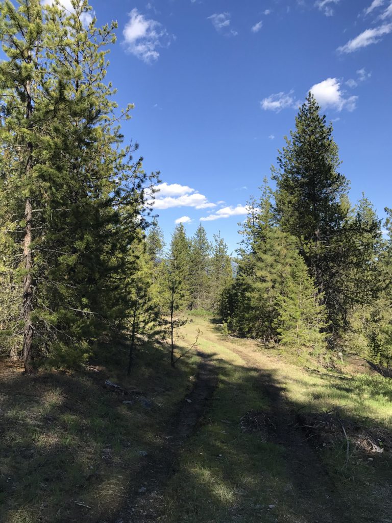
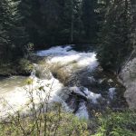
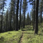
The Chipmunk NRT is a pretty double-track and nearly flat, hemmed in on both sides by trees and stays far away from any running water. It’s nice and easy, but after a while every new bend in the road starts to look like the one you’d just taken. Around the 4.5-mile mark you come upon a secondary logging road, heading south towards a roaring river, by the sound of it (it is not marked on the map). The coincidence of boredom, lack of water, and the fact that this road appeared to be headed towards a promising spot called Mission Falls, convinced us to switch course. Beware, as the road has not been maintained in a long time and requires climbing over or under much blowdown rather frequently. The drop to the river is not very long, but is tedious. A few sections were so bad that we had to make a detour into the woods to avoid a jumble of logs. This, luckily, brought us right to the edge of Mission Falls on the Upper Branch of Priest River.
Accessing the water at that point is not advisable, due to the swift current and the steep embankment. We did find a spot a tad further downstream where we filtered water (Scribe) and went for a swim (Naughty).
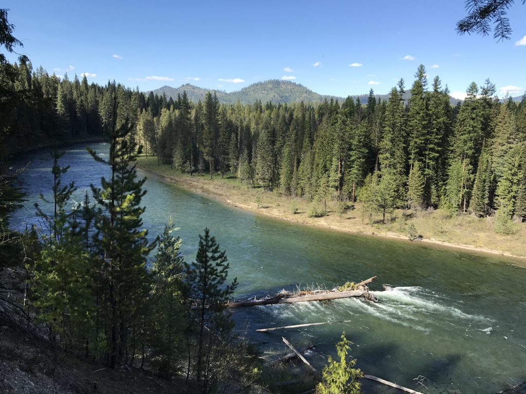
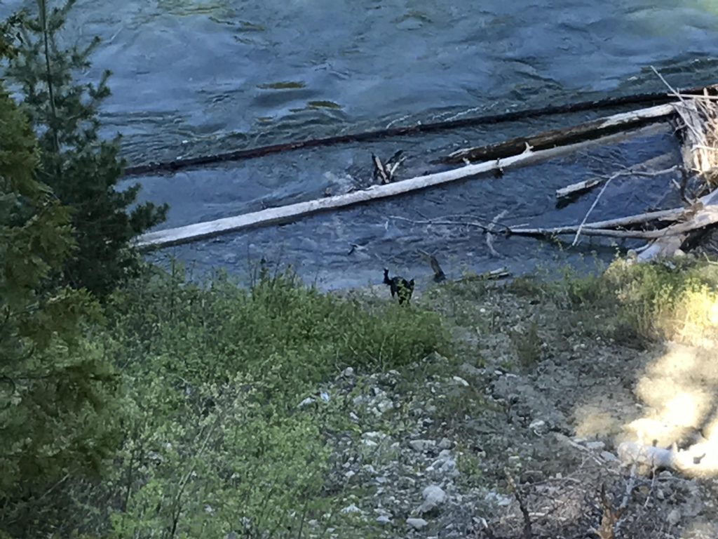
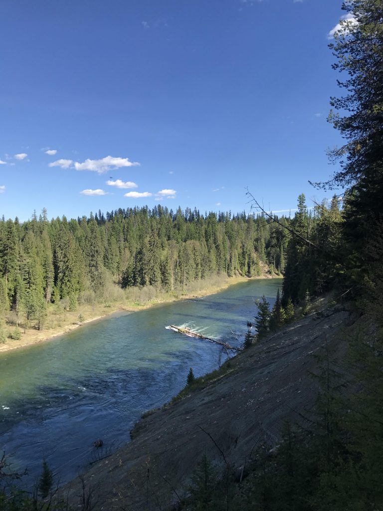
Then it’s back up to the Chipmunk NRT, backtracking to the Jack Pine trail, and this time bearing right to follow the eastern section of the Jack Pine trail. The Priest River stays hidden until you are past the rapids and come to the intersection with the Riverview trail. The first glances of the river are filtered through trees, but soon you get to an open spot with a pretty spectacular views of the river and the surrounding forest. Note, however, that the river runs in a gorge about 50 yards below, which didn’t prevent Naughty from sliding down real quick for a bit of a swim and a mouthful of water.
Afterwards, the trail reenters the forest as the river moves away for one of its many bends and twists. The trail eventually leads back to the intersection encountered earlier at the 1.5-mile mark, only it’s now past the 7-mile mark. You get your choice of taking either of the Kaniksu Loop or the Pine Ridge Loop, which is a single-track leading steeply uphill. We took that, and at the top chose the left branch in order to have another view of the Kaniksu Marsh. The Pine Ridge Loop ends less than a mile from the trailhead, emerging onto the Kaniksu Marsh Loop. This is an old logging road that heads up to a large dirt parking lot at what appears to have been a quarry at some point. Bear left and you’ll eventually come to a gated old logging road. Take this and you’ll end up on the graveled single-track that leads back to the trailhead to complete this 9-mile loop.
Alternate Routes
Things to Consider
Not so great
