- Coeur d’Alene Mountains
- Didn’t see a suitable spot
- Very good. Climbed over only 2 trees.
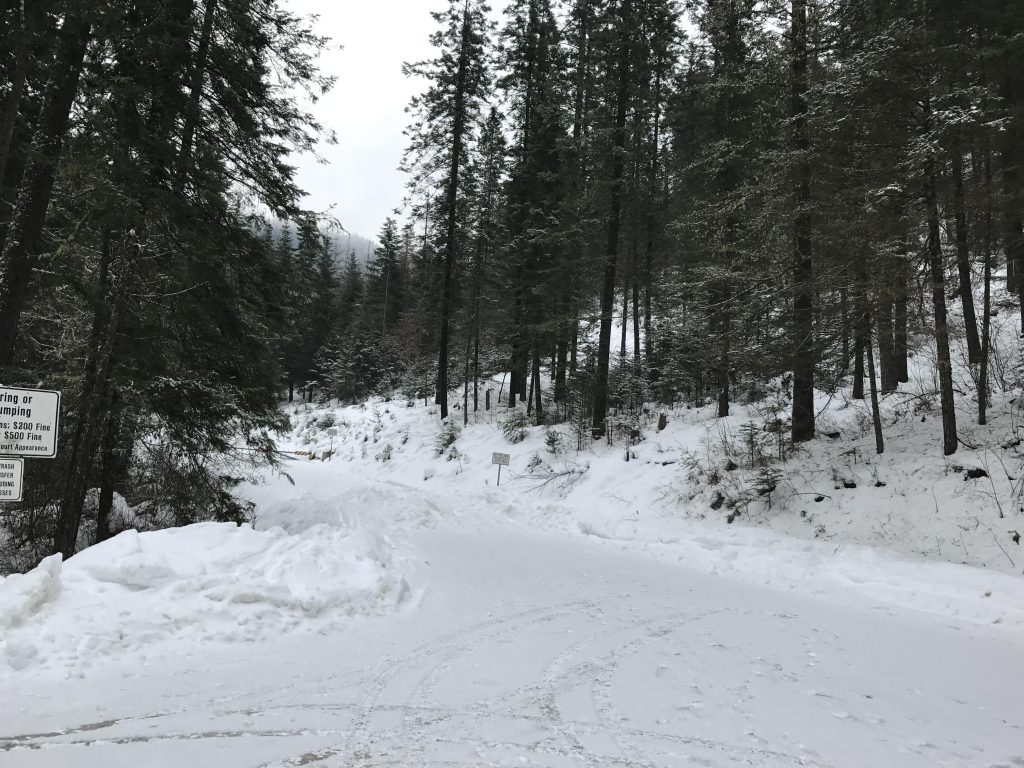
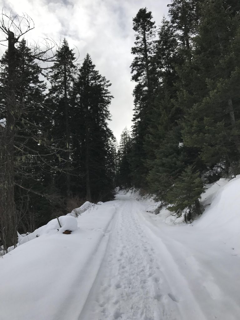
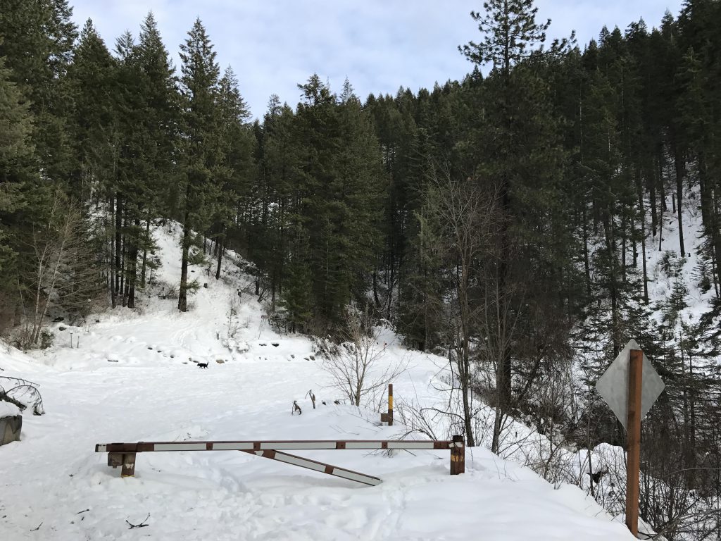
Doing this hike during the summer months is entirely possible, but heavy motorbike traffic makes it less pleasant and best relegated to weekdays when you have the hill to yourself. During the winter the lower gate is closed and you’ll have to park at the lower parking lot and snowshoe up to the upper parking lot.
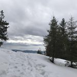
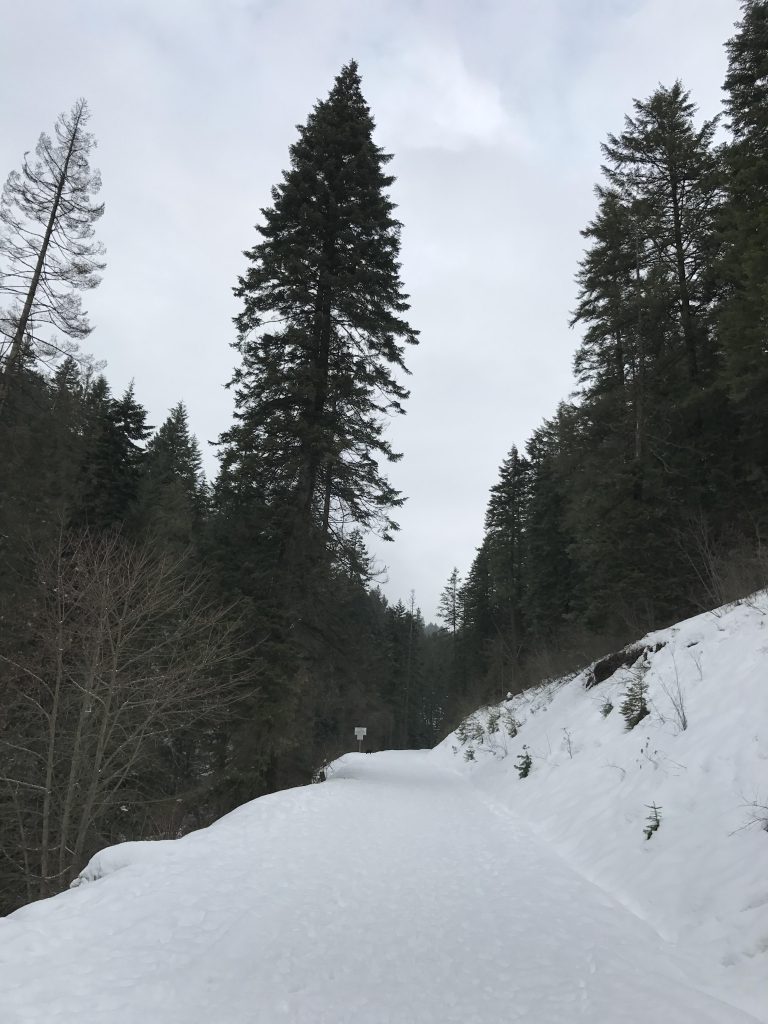
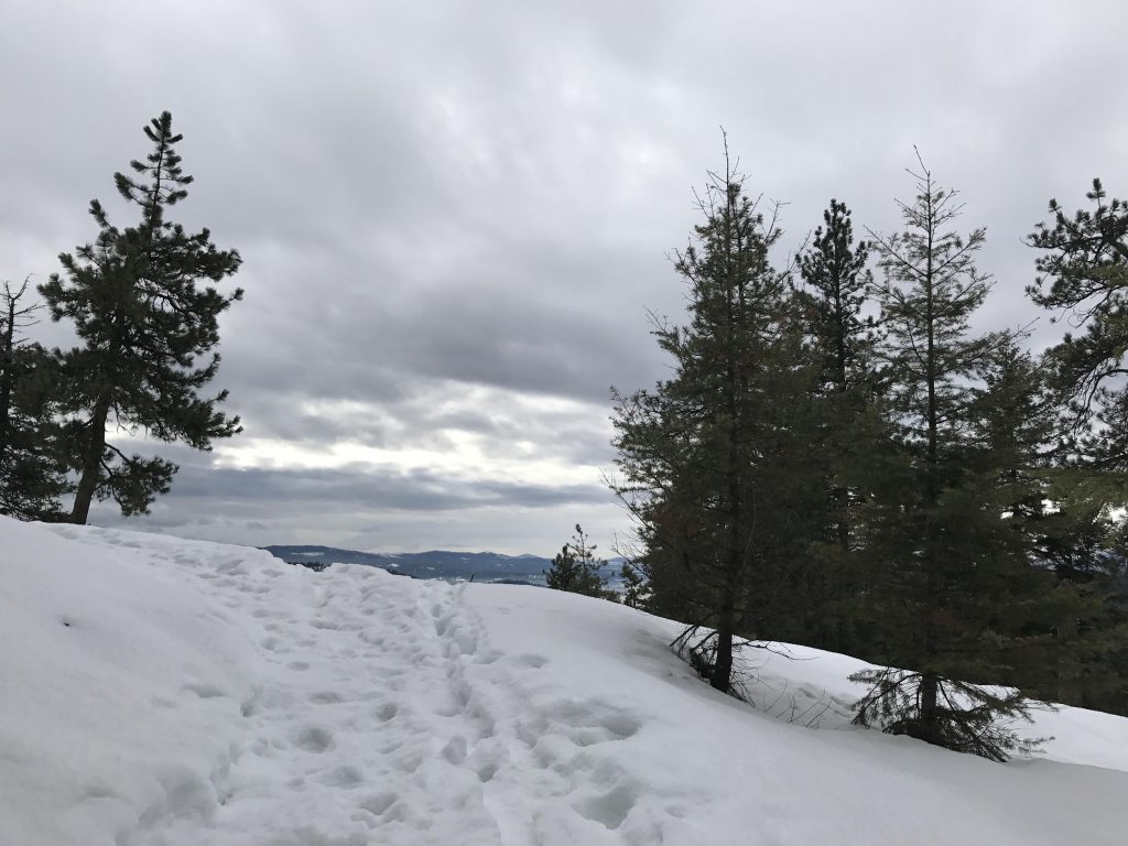
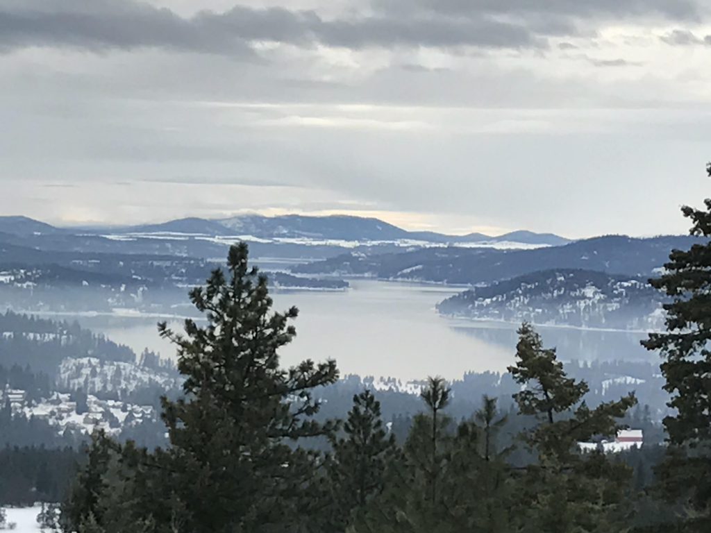
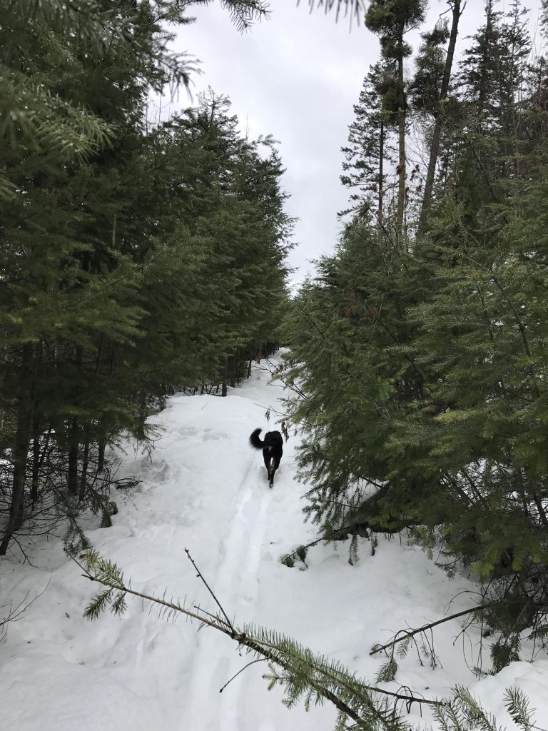
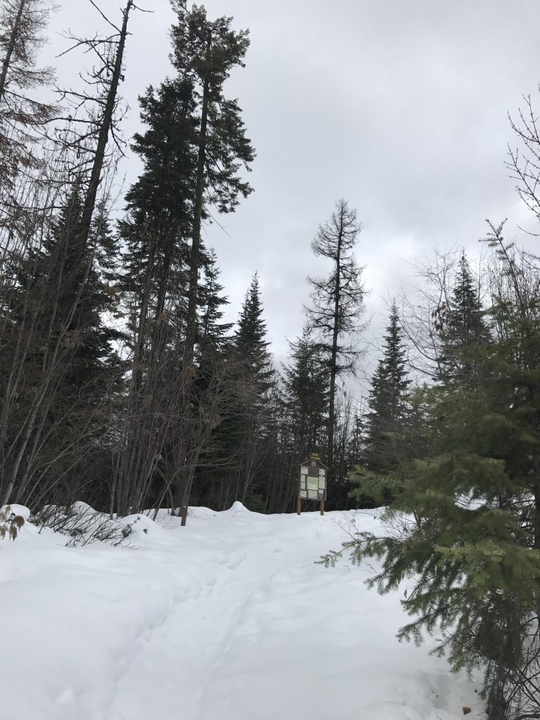
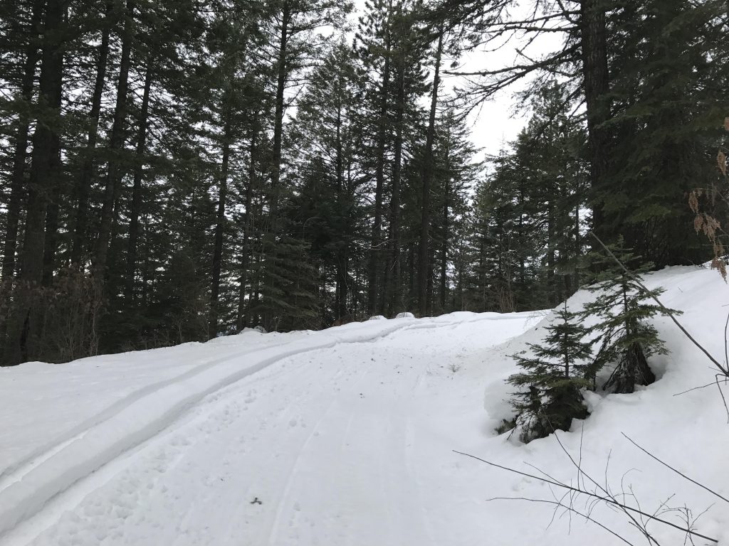
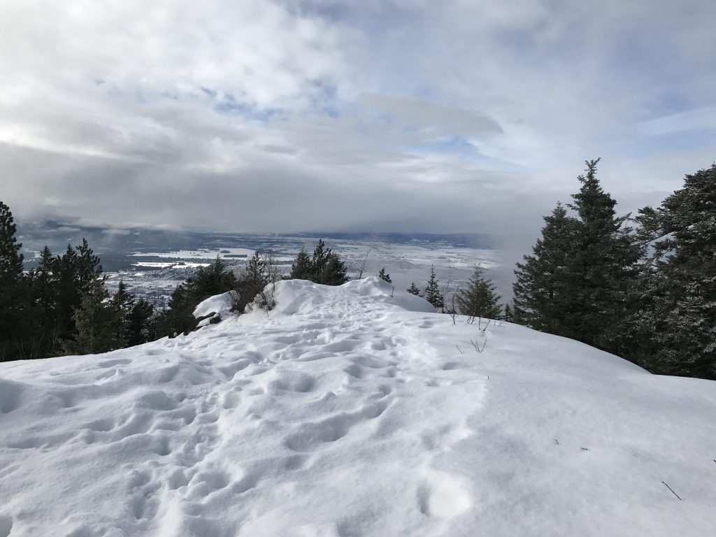
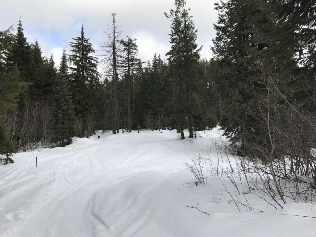
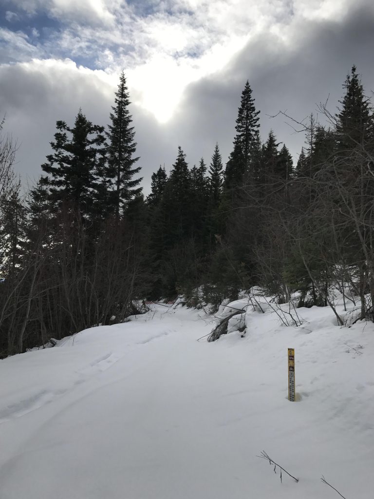
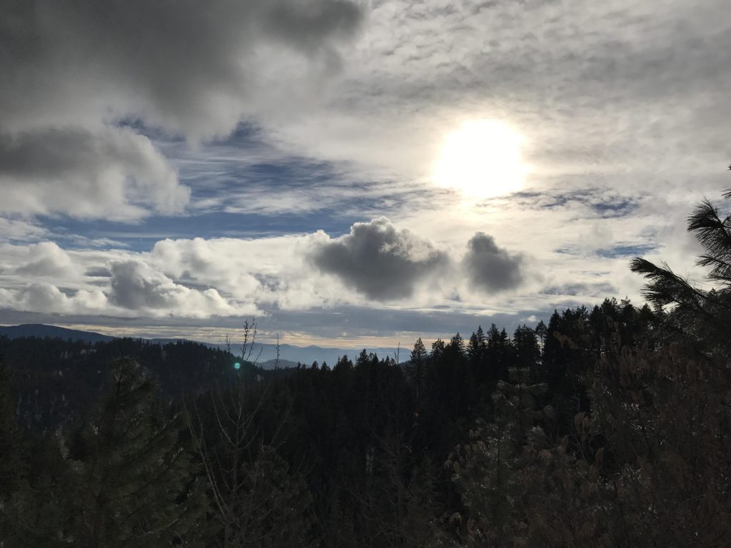
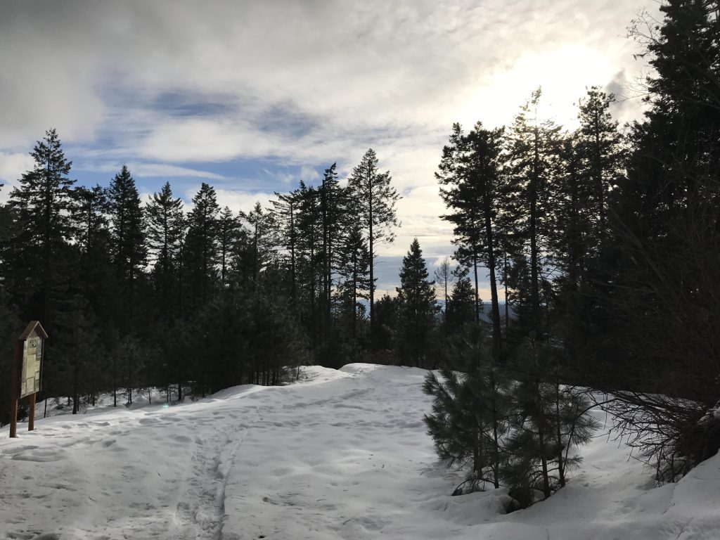
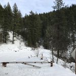
The Nettleton Gulch trailhead is popular with snowshoers, meaning the access road is probably heavily trampled and packed down, so much so that you won’t even need snowshoes (you’ll need them later on, though). To start out the loop, take trail #8 (Penn Trail), which branches off from the road in the elbow just before the upper parking lot. Trail #8 contours along the mountainside at a steady incline, offering occasional views of the city below. Eventually the trail climbs up to the ridge, a spot that offers pretty views of Lake Coeur d’Alene. The trail then turns almost 180 degrees and remains on the ridge for some time.
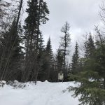
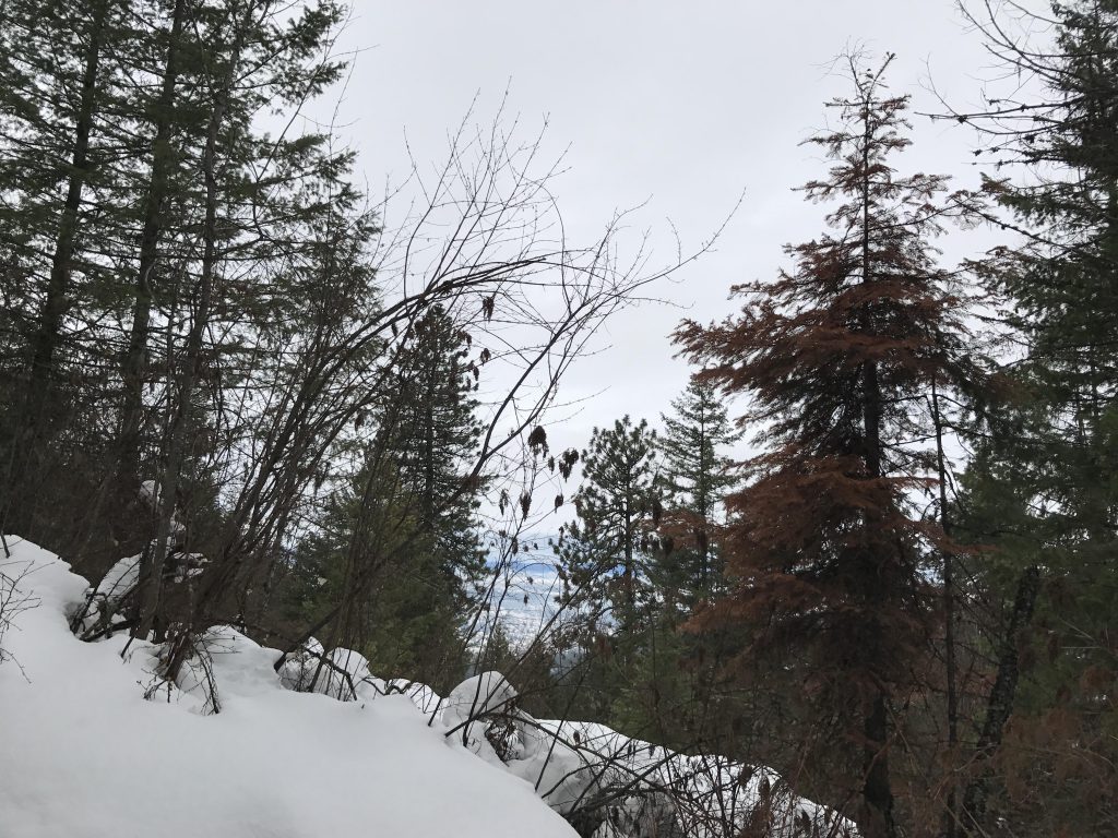
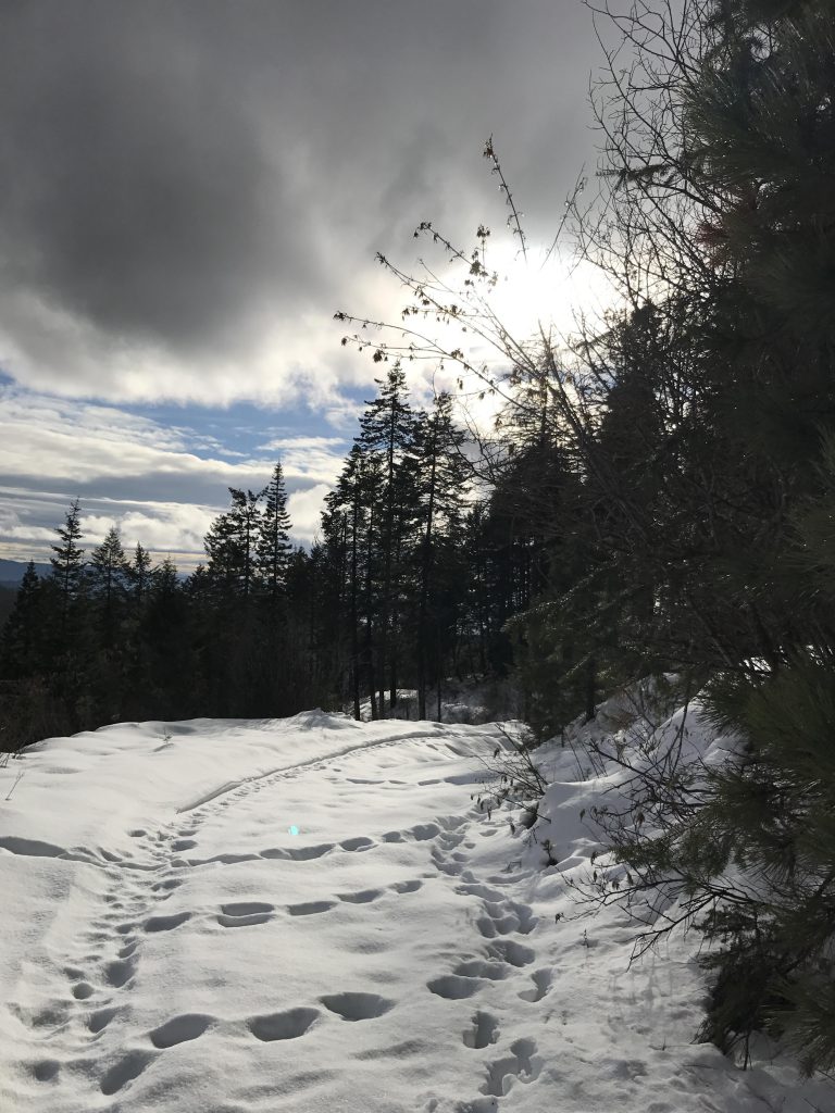
As the ridge rises to an unnamed knoll, the single-track drops to the left and moves along the mountainside, eventually widening onto an old logging road. This road leads back up to the ridge, but is quite overgrown on both sides and snow-heavy saplings drape across the path. Once the ridge is regained, views open up on both sides. The trail than crosses a smaller knoll and approaches Penn Station (don’t take the trail that leads downhill just before Penn Station; it leads back to the trailhead).
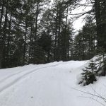
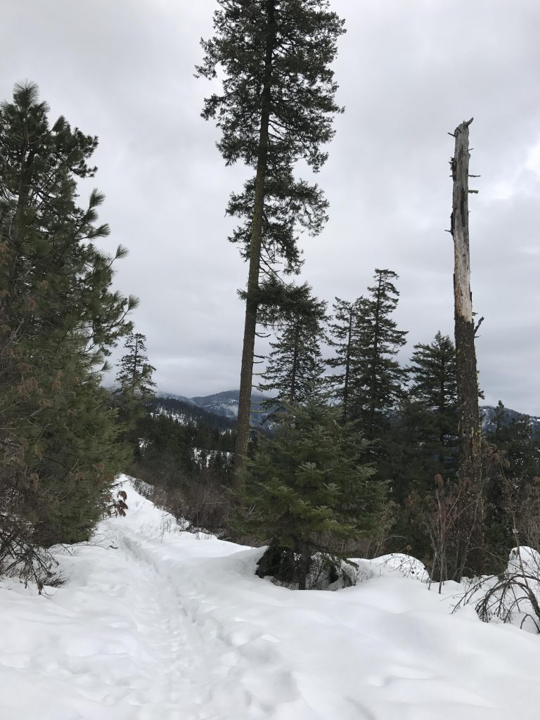
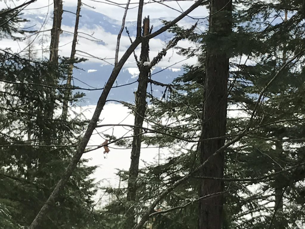
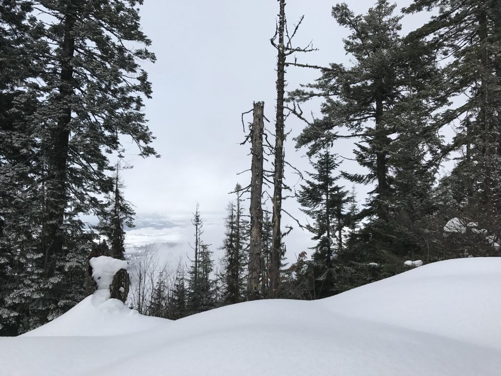
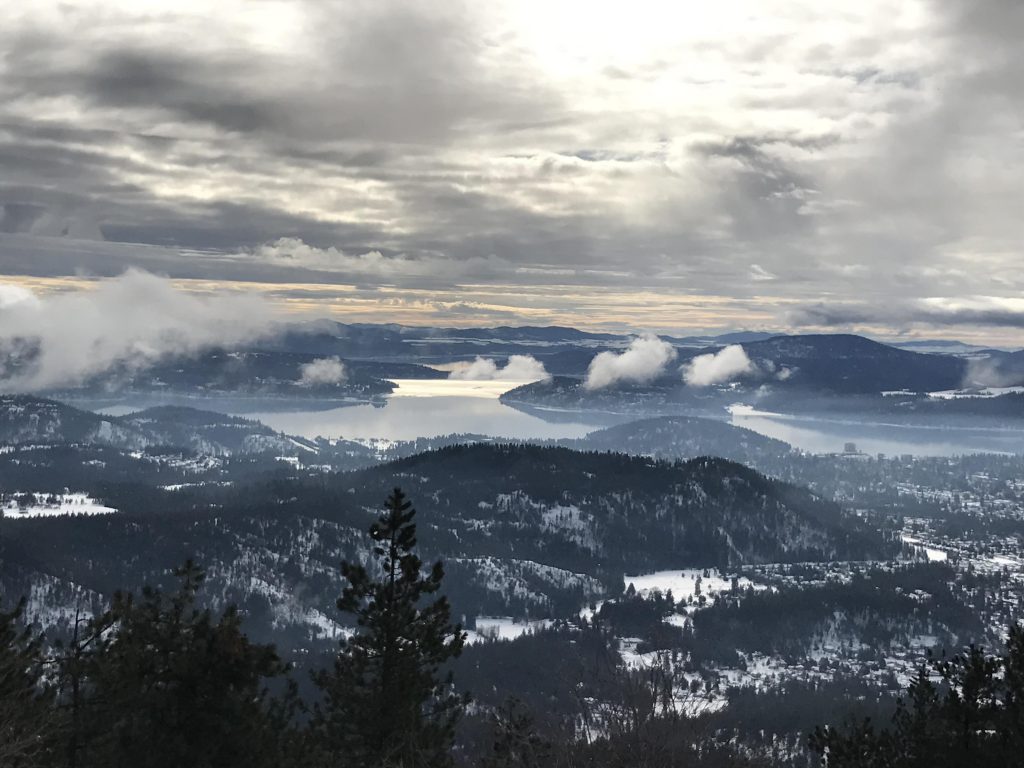
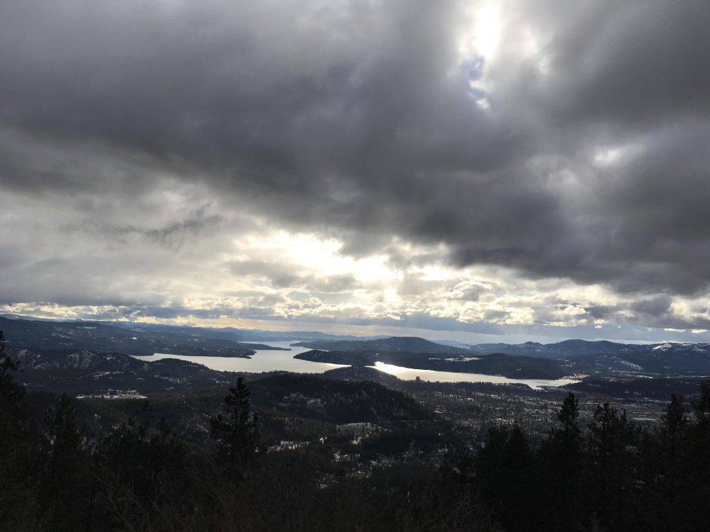
Following Penn Station, take trail #7, which is the leftmost one. It contours along the side of the mountain at a very manageable incline, with filtered views of West Canfield and the surrounding towns. Trail #7 terminates at “The Island”, where trails “D” (running east-west), #6, and #7 converge. Take trail “D” to the left; in this section trail “D” is actually FR 1562, an easy and wide road. Follow it upwards to the convergence with FR 2342. Move upwards on 2342 for just a short while, then take the single-track to the right, but don’t follow it downhill (that route leads to Totten’s Pond, see trail guide Canfield North Side). Instead, continue upwards and trail “D” will move along the north side of West Canfield and eventually emerge onto the top of the mountain. The views from the very top are lousy as it is hemmed in by trees, so continue on westwards to the TV and cell phone towers. The best views are from the open area westwards and slightly downhill from the towers.
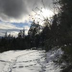
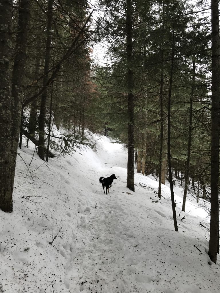
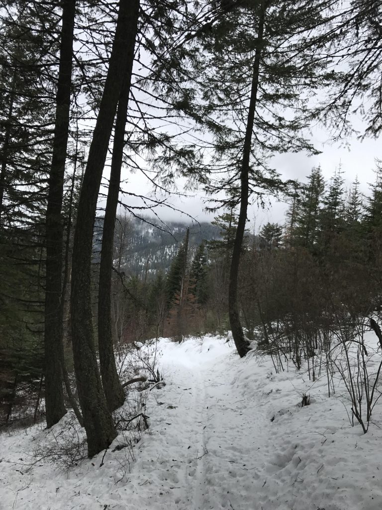
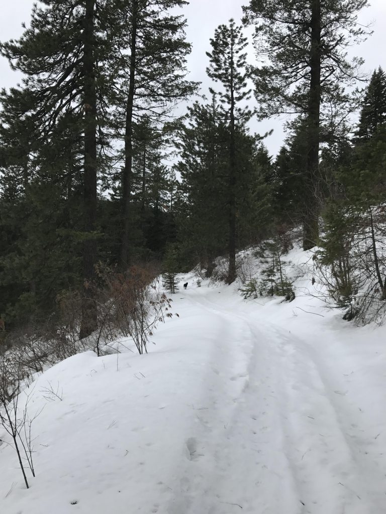
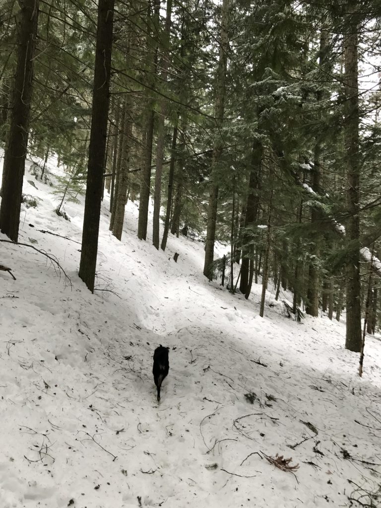
For the return trip take FR 2342 to the intersection with 1562, then take 1562 back to The Island. Now take trail #6, an old logging road. When we did the hike it was obvious that the only trail users in recent history had been of the ungulate type. Deep footprints weakened the tender snow crust just enough for the snowshoes to completely break through. Not a problem for Naughty, though, except when she tried to walk in the deer’s footprints.
Trail #6 intersects with trails 5 (keep going) and 3. Take trail 3 for a somewhat steep downhill run that emerges onto FR 2342 just above the upper parking lot. From that point it is just below a mile back to the lower parking lot.
Alternate Routes
- To shorten the hike skip W Canfield Butte and return via trail #6 after finishing #7
- Take the ATV road (#1562) for the entire return trip
- Take #5 for the return trip. It heads down steeply and meets up with #6
Things to Consider
Not so great