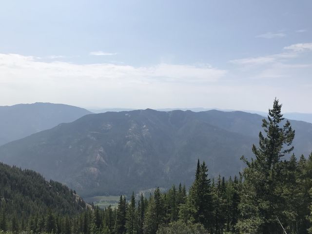
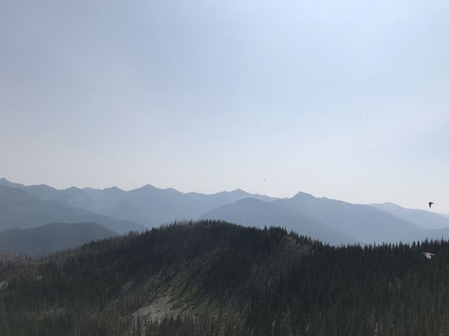
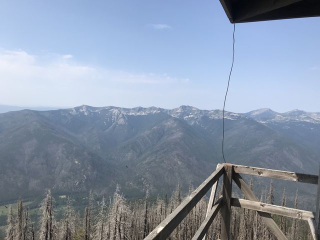
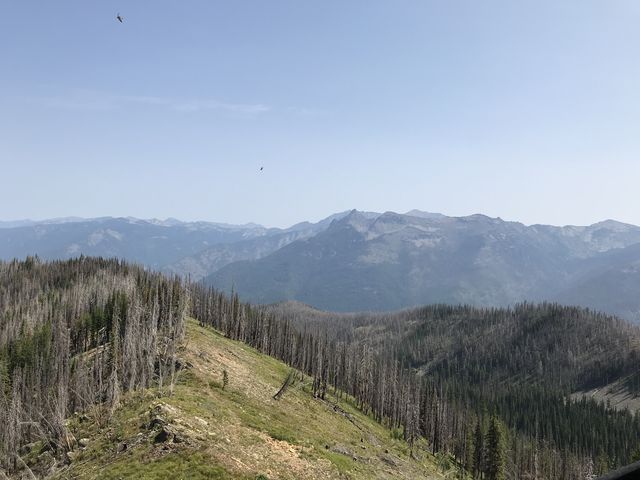
Berray Mountain, whose trailhead is easily accessible off MT-56, is a former lookout-tower site presenting spectacular 360-degree views of the Montana Cabinets, including the highest peaks in the center of the Cabinet Wilderness and Star Peak, also a former lookout tower site, located across the Bull River Valley, southwest of Berray. The uphill climb surprised with a variety of flora and features, including a brook and small pond.
| Location | Cabinet Mountains |
| Rating | 3.6 out of 5 |
| Difficulty | Moderate (uphill) |
| Distance | 10.9 miles |
| Duration | 4:14 hours moving time (hiking) |
| Elevation Gain | 3,748 feet |
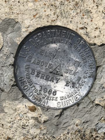
| High Point | 6,196 feet (Berray Mountain tower) |
| Low Point | 2,360 feet (trailhead) |
| Trail Type | Out-and-back |
| Trailbed | Packed dirt, loose rocks |
| Trail# | 967 |
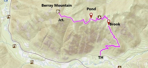
| Water | A brook halfway up, a pond shortly past the 3-mile mark, and potentially a spring near the lookout tower |
| Status | Unprotected |
| Administration | Kootenai National Forest |
| Conditions | Good. There is no deadfall, but the trail is overgrown in the more verdant sections and washed out in places where it crosses steep meadows |
| Permits | None required |
| Camping | None |
| Maps | USGS Ibex Peak |
| Trailhead | From MT-200, about 5 miles north of Noxon, take MT-56 north for 8 miles. Turn right onto FS-407 and follow it to the trailhead, about a mile, on your left. It is signed. There is parking for half a dozen cars. Google Directions (48.116229, -115.79595) |
| Season | Year-around |
| Squirrel Density | Phenomenal! |
| Features | Mountaintop, Structure, Meadow |
| Distance From |
|
| Resources | |
| Nearby Hikes | |
| Date | July 27, 2018 |
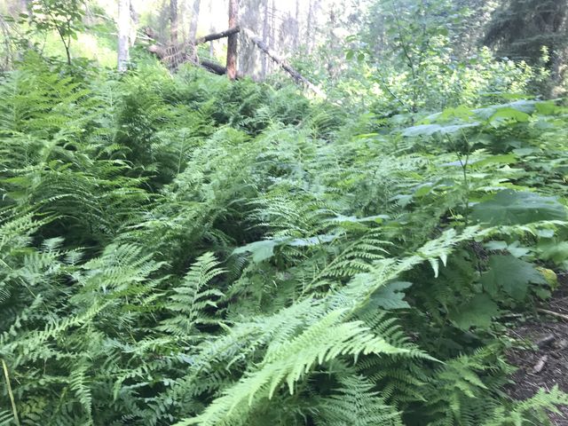
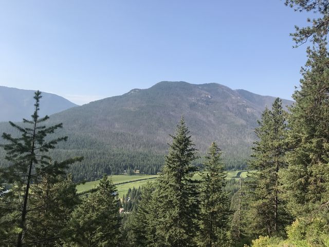 Berray Mountain is the highest peak of a squat range squeezed in between the Bull River and its South Fork. Its other peaks and crags are unnamed. The trail ascends the southeast flank of this range, at first heading east through fairly dense forest using an old skid road. Soon enough that road gives way to a singletrack that continues along the mountain at a steady climb, still well shaded, with an interesting understory of mosses, ferns, and ninebark. The forest occasionally retreats somewhat, enabling nice views across the Bull River Valley towards Pillick Ridge.
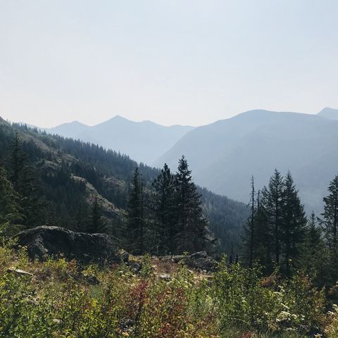
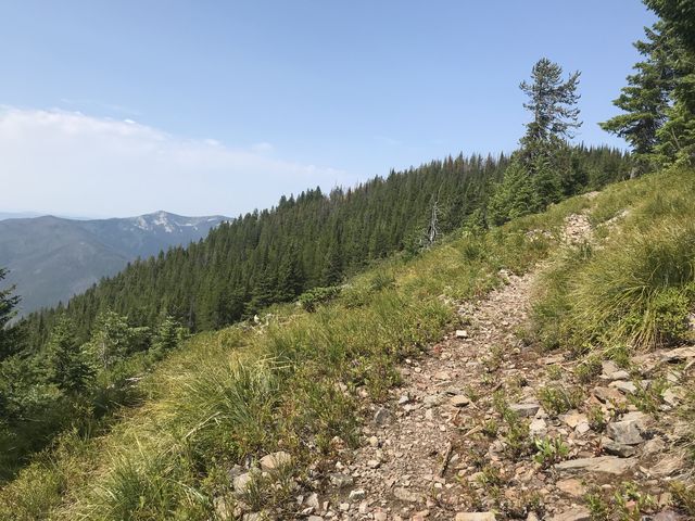
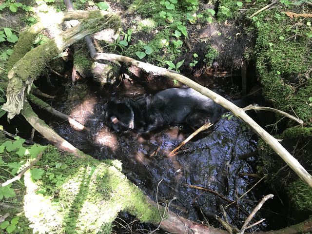 About a mile up, the trail ascends a ridge of the Berray Mountain range, and the forest lightens considerably, making way for lots of ocean spray, and, in the process, grand views into the Cabinets. The climb continues in a relatively arid part until you come upon a refreshing brook ahead of the 2.5-mile mark. Watch your step, as the trail is rather overgrown with thimbleberries and ferns, hiding rocks, roots, and branches. At the 2.5-mile mark a somewhat puzzling sign points uphill to “Berray Mtn. L.O.”–there is simply no other way to go.
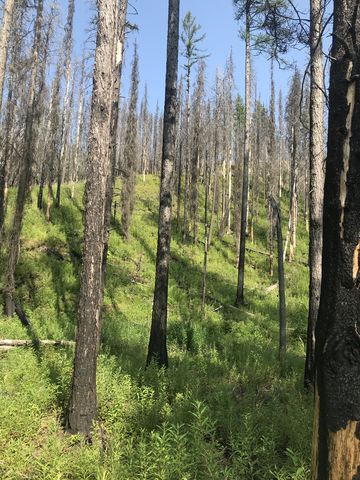
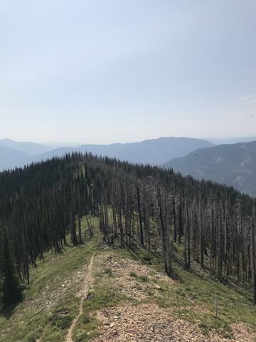
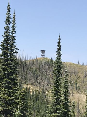
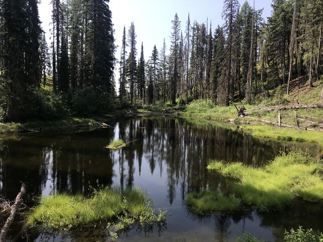 A bit past that point the trail enters a burn area and then crosses a few mountain meadows, the monotony of which is broken at the 3-mile marker, where you unexpectedly come upon a small pond. The ascent then continues, through alpine meadows and burnt forest, and at the 5-mile mark the trail is once again in an intact forest of larch and pine. Here also is the junction with trail #1028, an alternate (and easier) access route. Take the time and head 50 or so yards down that trail for a quick glance at the Berray lookout tower up ahead, then get back on trail #967 for a short half-mile ridge hike to the tower.
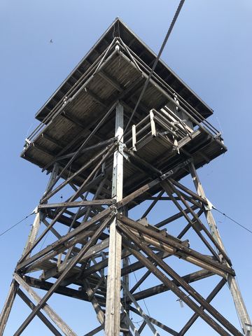
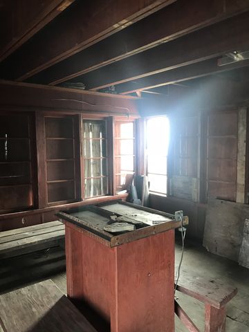
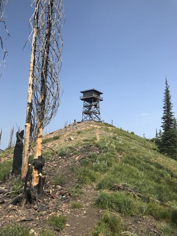 Shortly ahead of the lookout tower is a sign indicating there is a spring down the western flank of Berray. We didn’t check it out; the length is indicated as .4 miles. The tower is still intact (mostly; a sign indicated it had minor deficiencies) and was once considered for rental, but nothing came of that. You can climb up the stairs, and the views at the top are truly spectacular in all directions.
Enjoy this hike? Let us know in the comments below!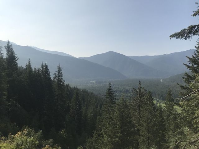






Alternate Routes
- An alternative trail is #1028, which cuts both distance (2.5 miles one way) and elevation gain (700 ft) considerably. The trailhead is on FR-2272, an offshoot of South Fork Bull River Road #410
© 2016 – 2018 NaughtyHiker. All rights reserved. No duplication without permission.