Bead Lake

Bead Lake is a hidden marvel, stashed away in this northeast corner of Washington state. Trail 127 traces the eastern shore of the lake beneath a cooling canopy of cedars and pines to West Lodge Creek, then presents the option to hop onto trail 127.1, a spur trail leading to a secluded bay perfect for a cooling dip. For the most part, the hillside drops steeply into the lake, but a number of flat places are available for camping, making this ideal for a family backpacking trip.
Location
  • Selkirk Mountains
Rating
3.3 out of 5
Difficulty
Easy (except for the spur trail–moderate)
Distance
11.4 miles
Duration
3:48 hours moving time (Hiking)
Elevation Gain
1,028 feet
High Point
3,171 feet
Low Point
2,838 feet
Features
  • Lake
  • Grove
  • Outing Type
  • Daytrip
  • Trail Type
  • Out-and-back
  • Trailbed
    Packed dirt, loose rocks, old logging roads
    Trail#
    Water
  • The lake and 3 tributaries
  • Camping
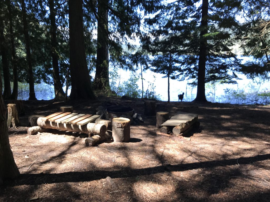
    • There are designated camping spots throughout the hike; look for firepits with a metal grate near the lakeshore
    Conditions
    • Excellent, except for the spur trail
    Administration
  • Kaniksu National Forest
  • Status
  • Unprotected
  • Maps
    USGS
  • Bead Lake
  • Fees & Permits
  • None required
  • (A parking fee applies if you park at the boat launch)
    Open To
  • Hikers
  • Dogs
  • Horses
  • Mountain Bikers
  • (Dogs must be leashed.)
    Directions
  • From Newport, WA, drive east on highway 2 across the Pend Oreille River. Take a left onto LeClerc Road immediately after crossing and follow LeClerc for 3.5 miles. Take a right onto Bead Lake Road and follow that to the south end of the lake. There are signs pointing right towards Bead Lake. There is a dirt road and a blacktopped road. Take the dirt road for half a mile uphill to the upper trailhead, or take the blacktopped road, then take the first right, to reach the lower trailhead at the boat launch parking lot (fee required).
  • Season
    Year-around
    Resources
      Date
      May 21, 2017

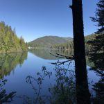
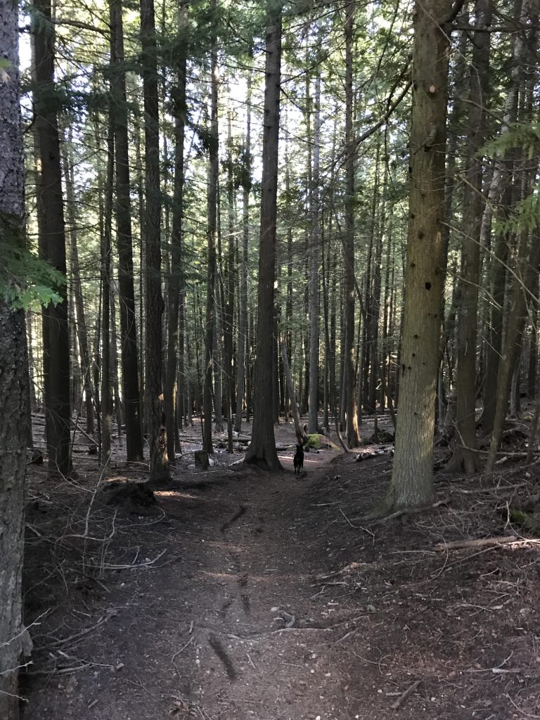
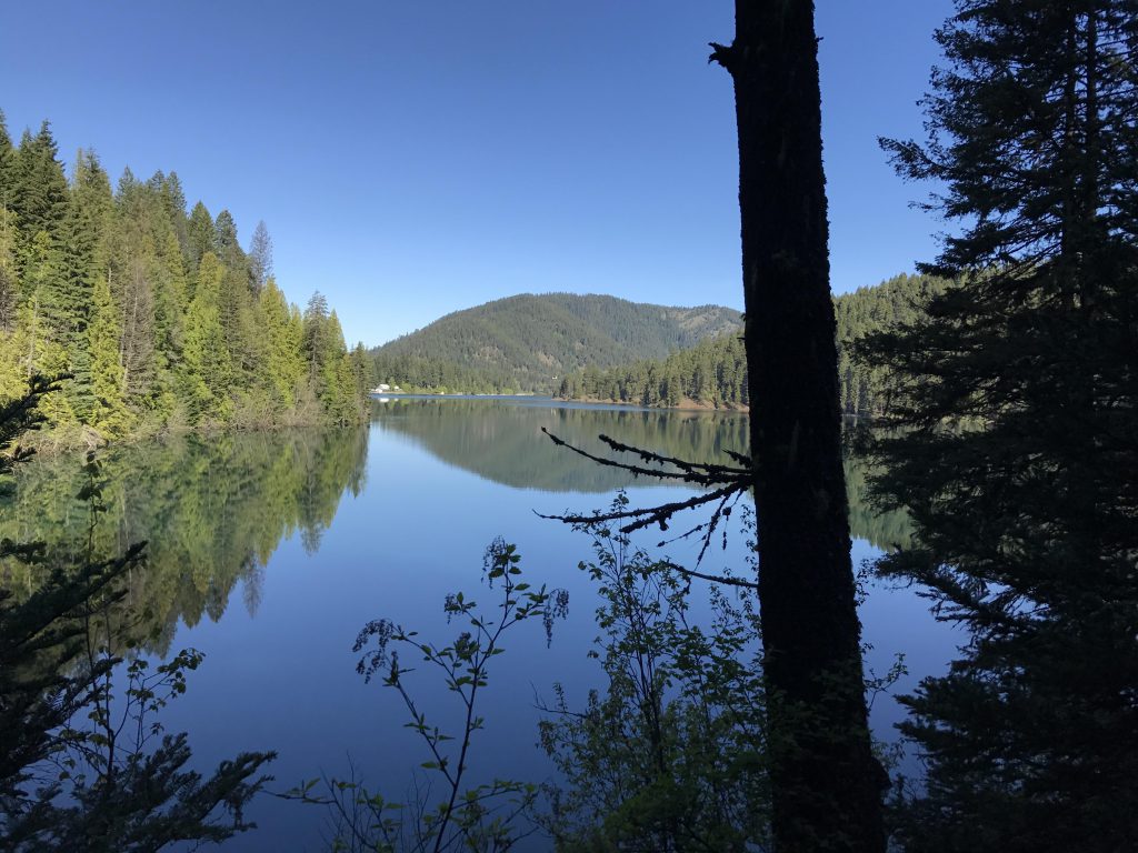
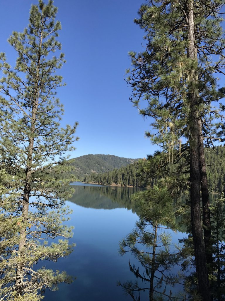
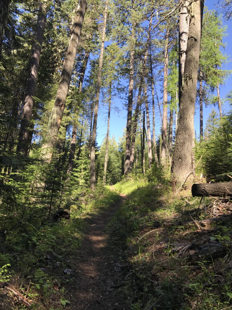
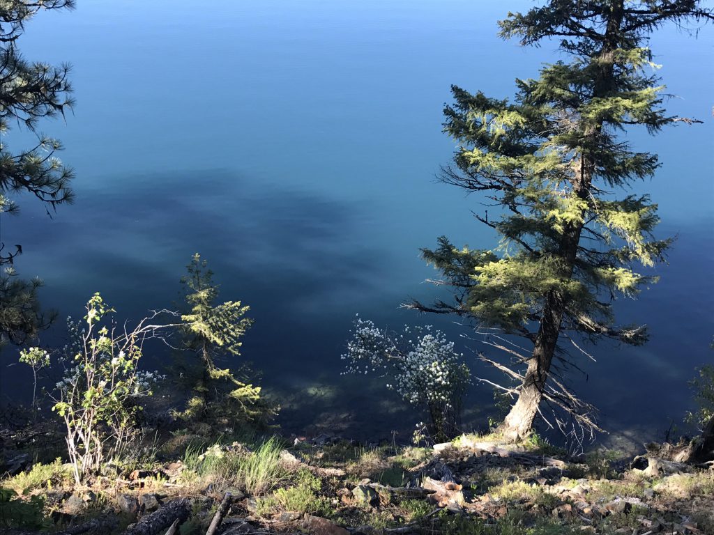
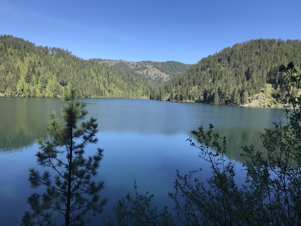
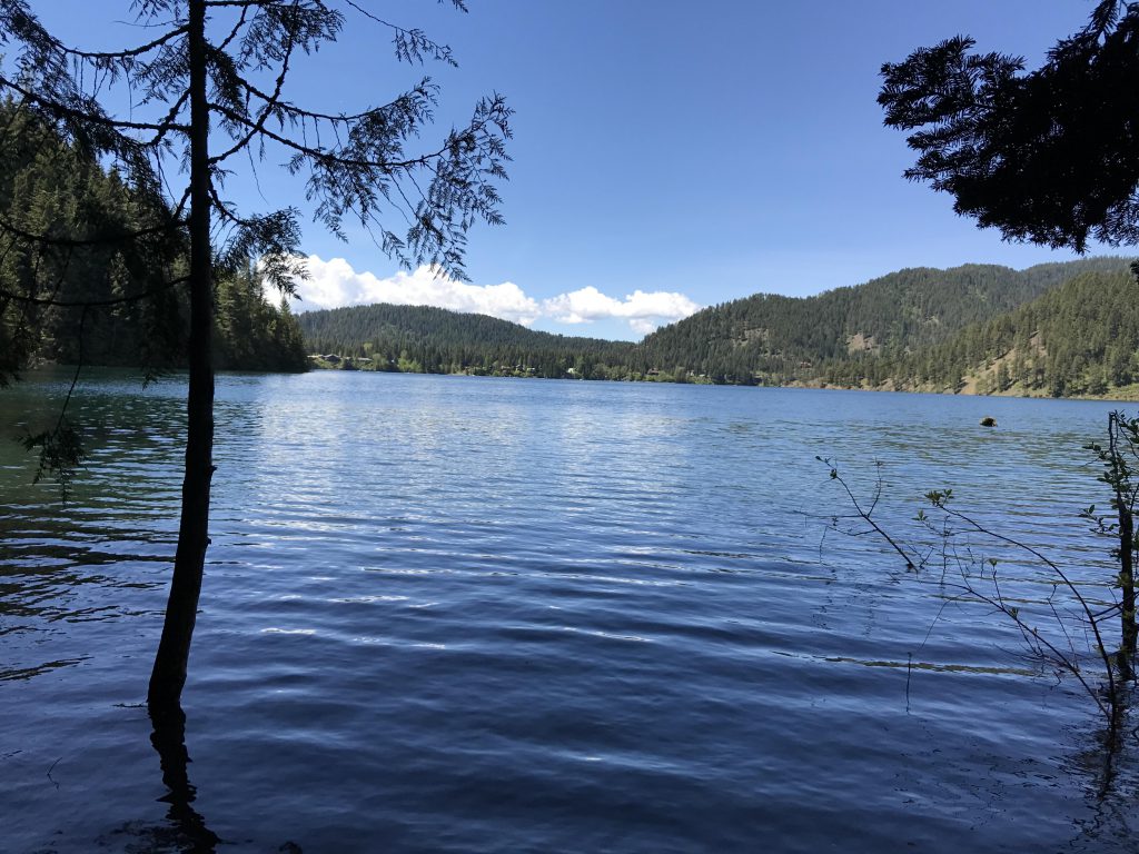
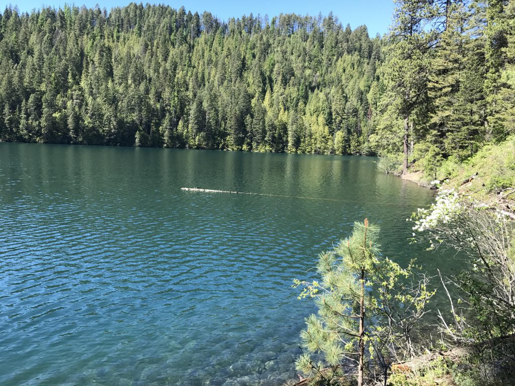
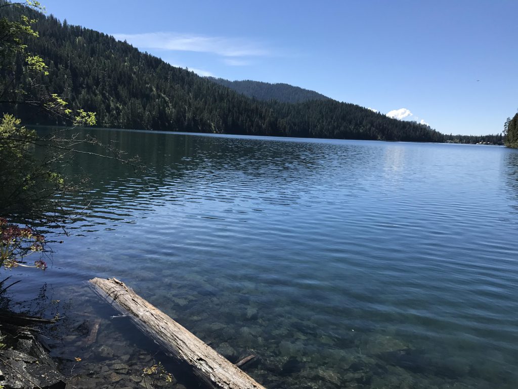
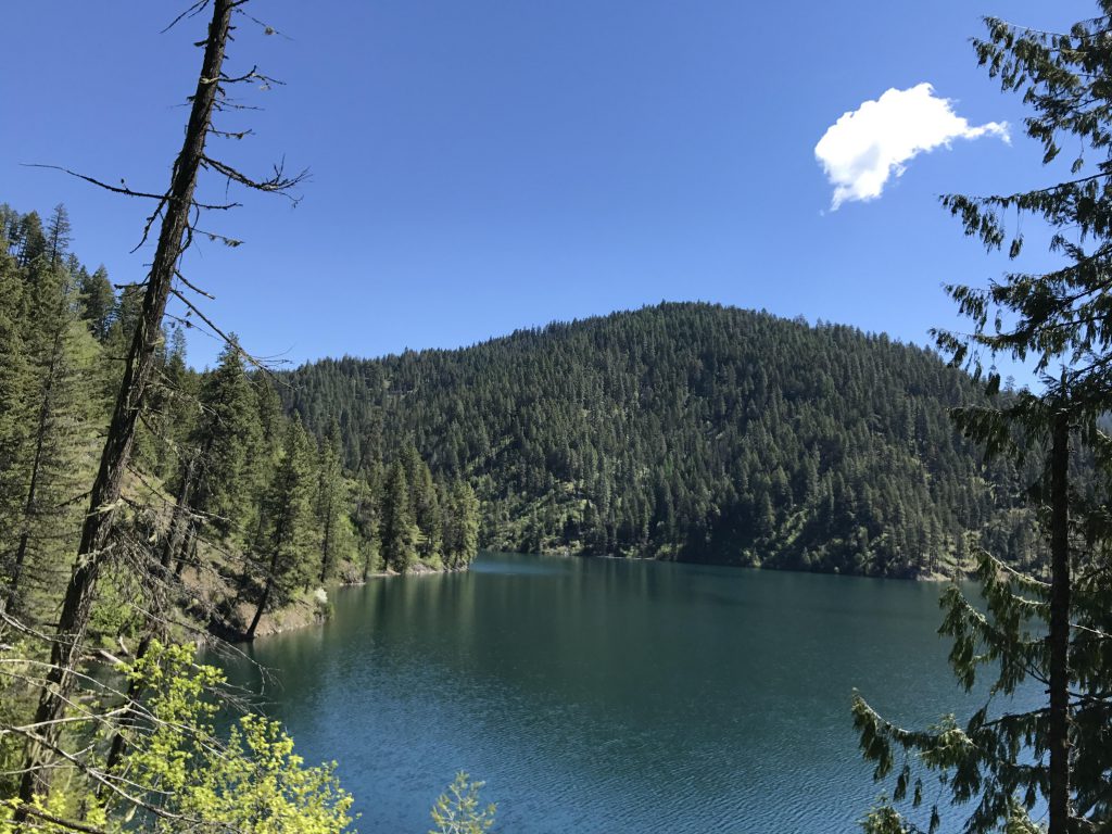
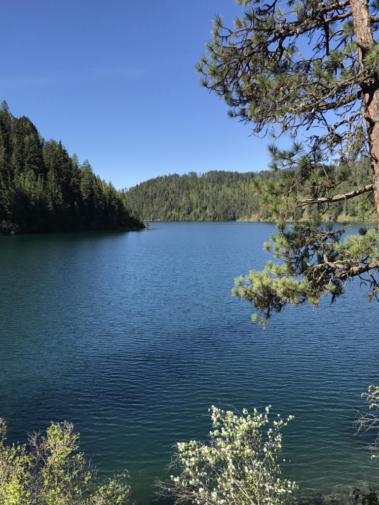
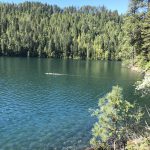
      At the upper trailhead the path starts to the left of the information sign, dropping down the hillside in a few switchbacks to the rear end of the lower trailhead. There, you’ll find another information sign and a trail register. The trail then follows a wide old logging road, which contours along the hill high above the lake. As the logging road turns into a single-track, perhaps half a mile into the hike, the first campsites down at the lake shore come into view. The trail curls around a small bay and as it re-approaches the lake on the far side the trees retreat for the first unfiltered views of the lake. Magnificent!

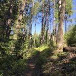
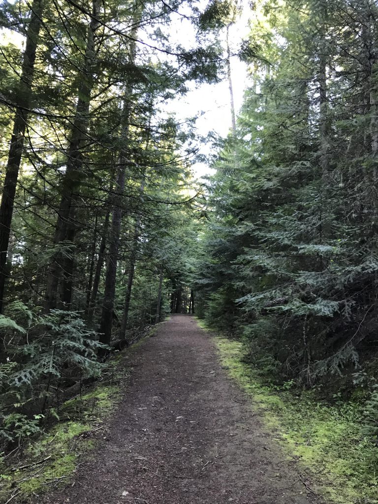
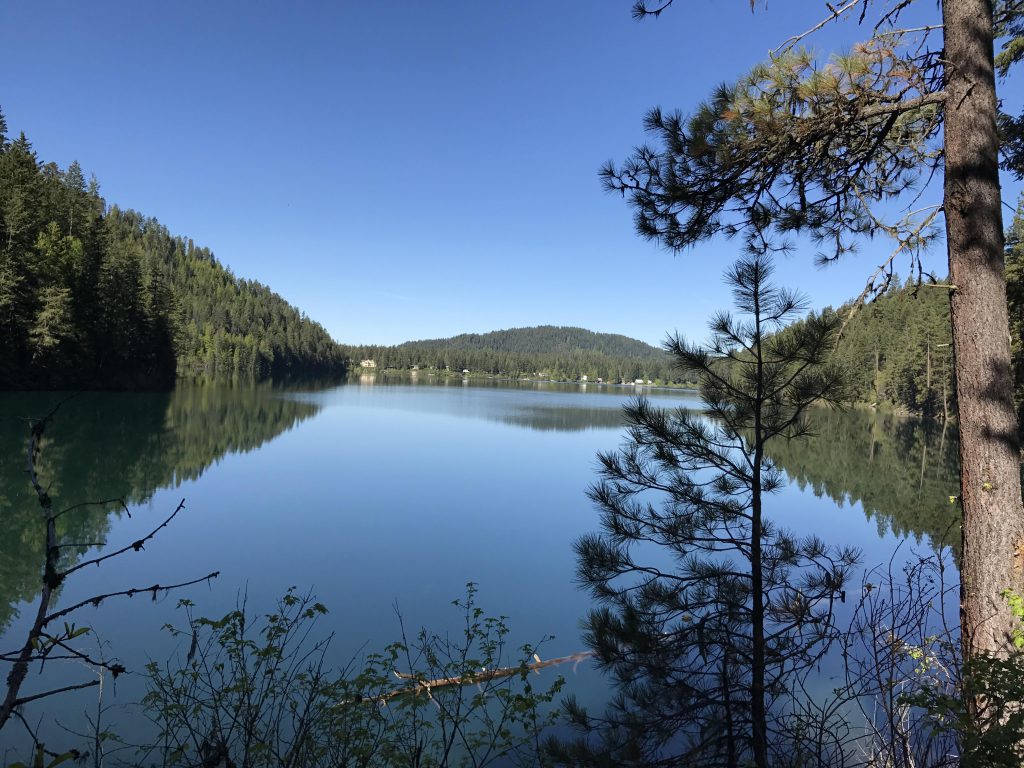
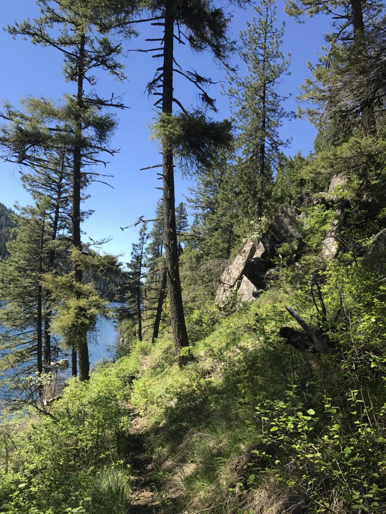
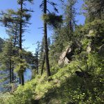
      The trail continues along the lake shore, a nice path of packed dirt or lose rock that is well maintained. The hillside is fairly steep, however, making the short descent to the lake a serious bushwhack in most places.

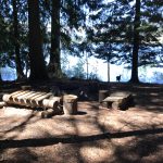
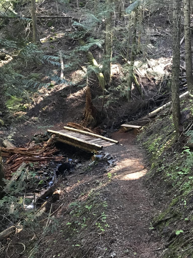
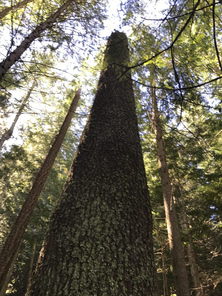
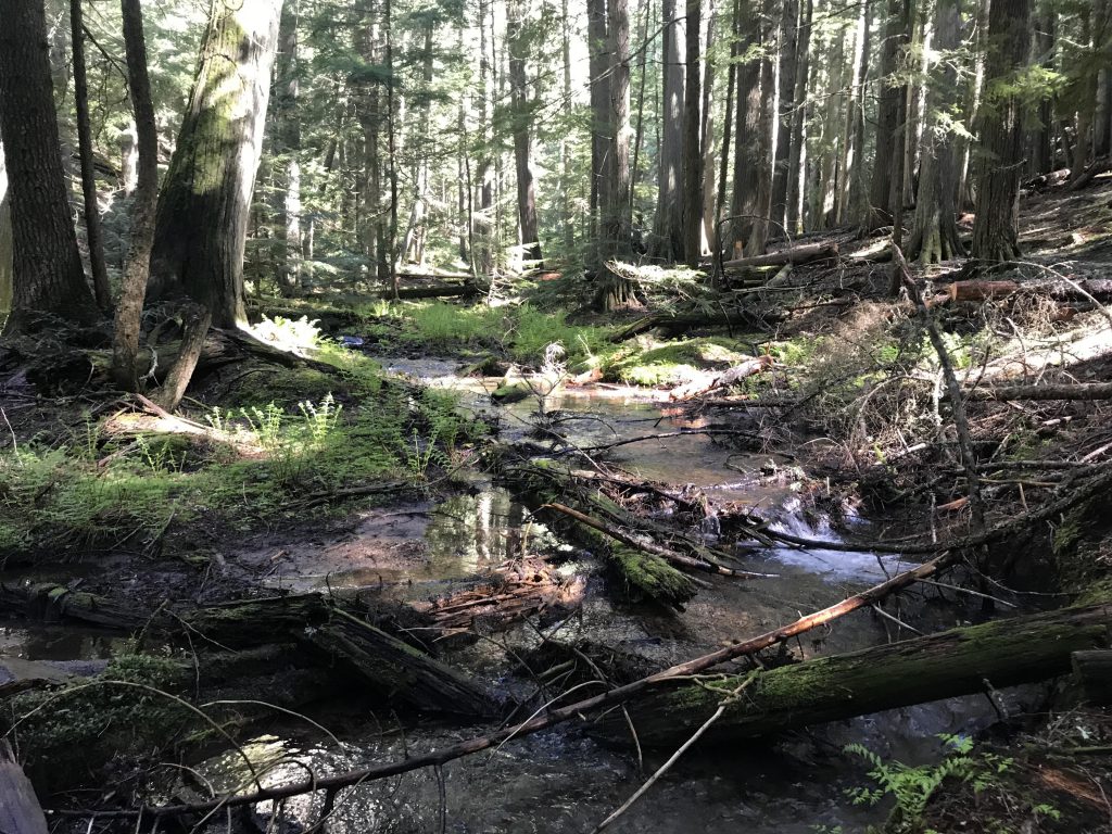
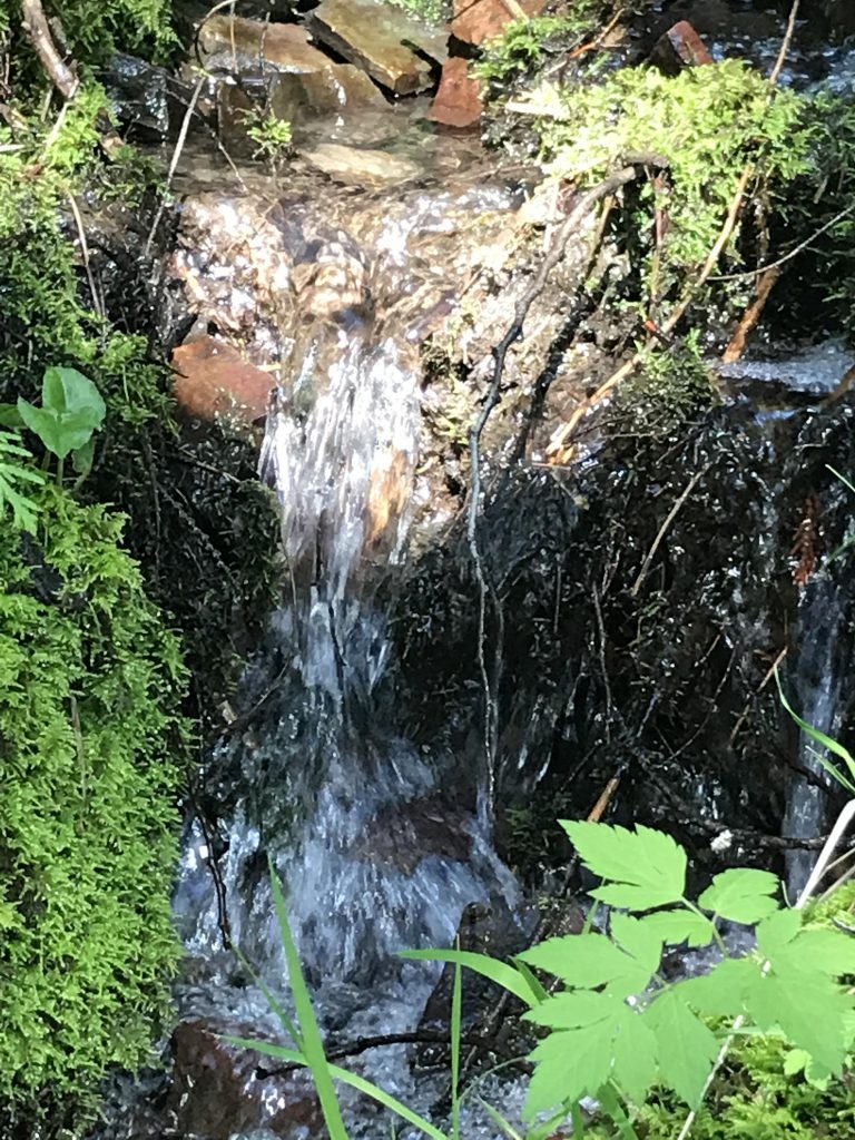
      A bit over a mile into the hike the trail dissects Enchantment Camp, a fairly large boy scout camp with sites scattered to the left and right of the trail. Soon after the camp the trail heads inland and climbs a ridge jutting into the lake. On the uphill portion the tree cover changes from cedar to pine and fir and even a few larches. The ridge top marks the high point of the hike, then it’s downhill and this shadier side once again is thickly covered with cedar. At the bottom you’ll cross a small brook via a convenient footbridge (follow the brook to the lake for perhaps the nicest campsite along the lake with a perfect lakeview from your tent!).

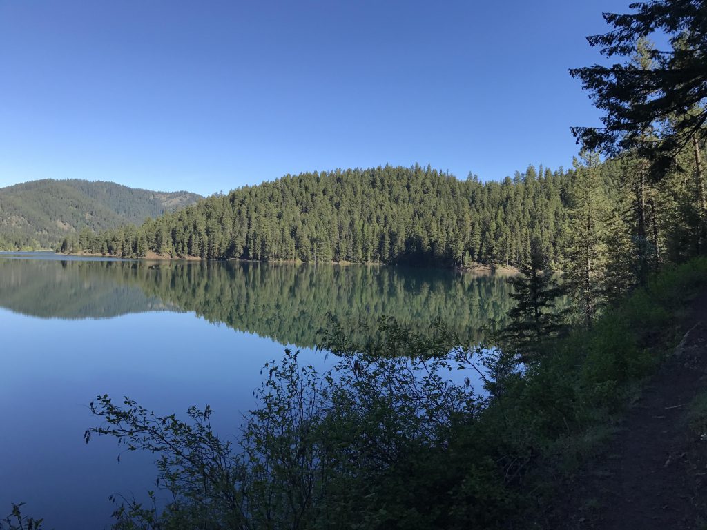
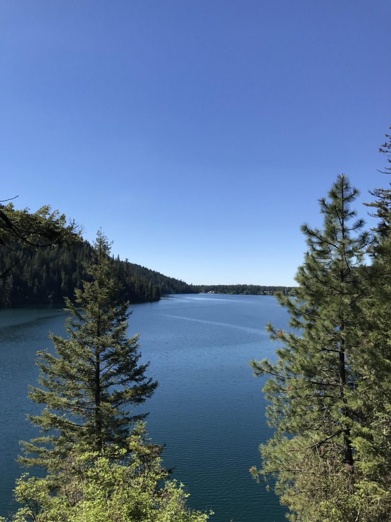
      The trail continues along the lake shore and reaches the northernmost tip around the 4.5-mile mark. It then follows West Lodge Creek for a short distance to a fork, with the main trail continuing along the creek to forest road 3215 and the left branch (spur trail 127.1) following the lake’s shore for another mile or so.

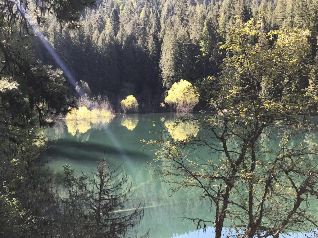
      The first half of the spur trail is in decent shape, even though the foot bridges show signs of decay and are very slippery. The trail is more overgrown and the grade more uneven. You’ll move past a cabin tucked into the woods, on a patch of private land and accessible only by boat. Once you get to to a little brook without bridge the trail seriously deteriorates and in many places is little more than a game trail.

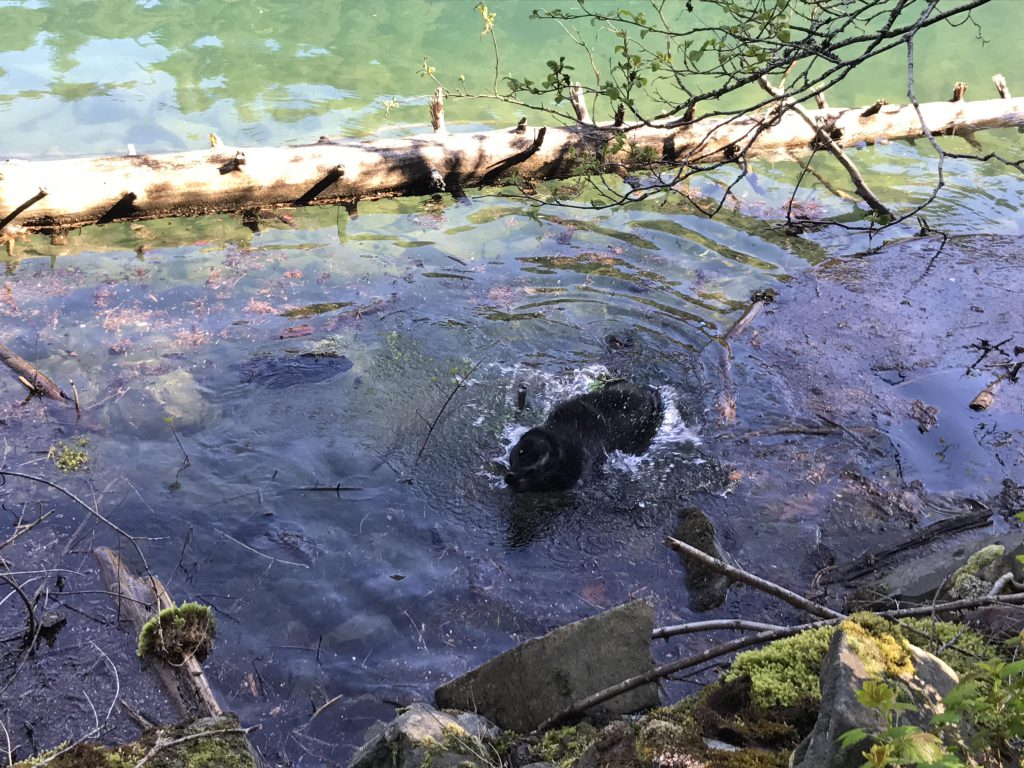
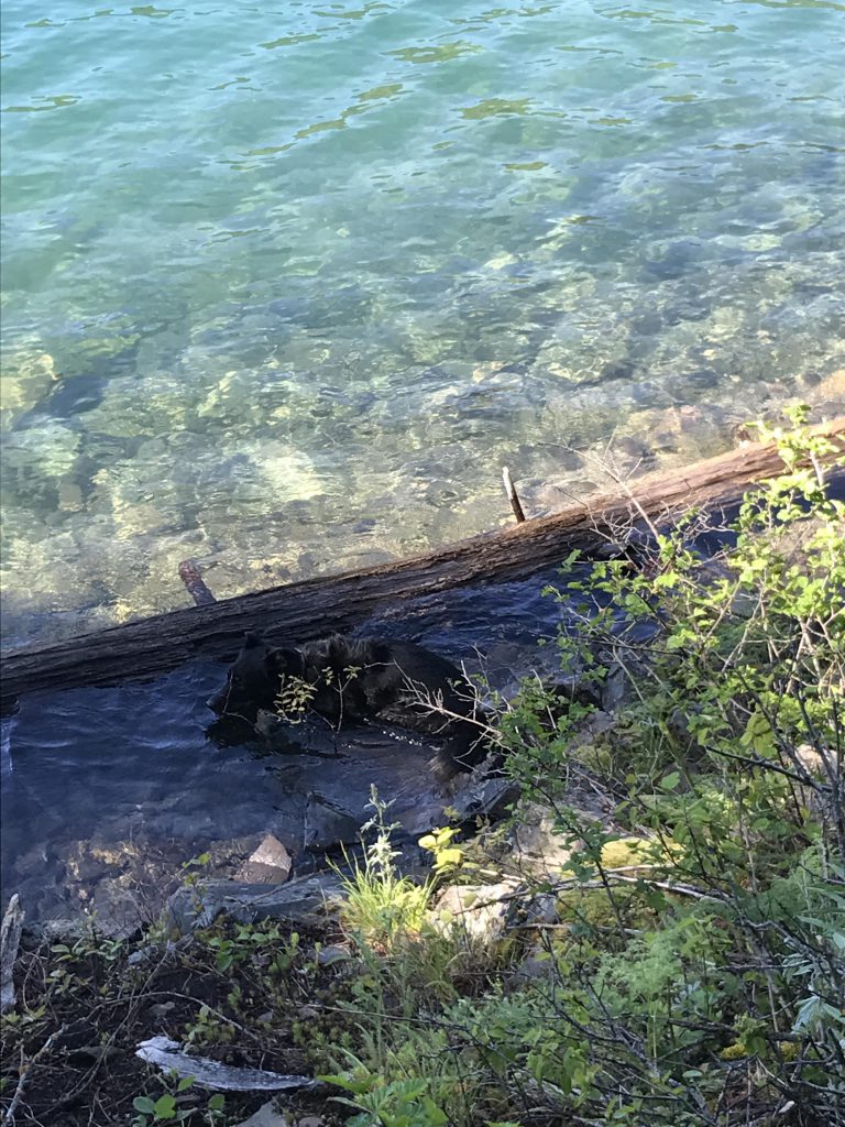
      Towards the end the trail climbs a small knoll, then rounds the corner and drops into a secluded bay. There, a stranded log and a few large rocks provide a nice platform for a quick refreshing dip. Return to the trailhead the way you came.

      Alternate Routes

      • Instead of taking the spur trail you can continue on trail 127 until it meets up with FR 3215 and shuttle back to the trailhead if you have 2 cars

      Things to Consider

        Not so great

          Single-track leading downhill towards lower trailhead
          An old logging road for the first portion of the trail
          First look at Bead Lake just past the first camp sites
          Looking north across Bead Lake
          Spring flowers. Phlox?
          Views of Bead Lake, usually a bit filtered, are plentiful
          View west towards the cottages
          Leafing trees along the first bay of Bead Lake
          Most of the trail is single-track
          Bridges cross most tributaries. You won’t get wet feet
          More pretty flowers. What kind?
          Naughty going in for a swim
          The views of the lake are pretty and plentiful
          An exceedingly pretty campsite right on the lake…
          …this would literally be the view from the tent
          Time for a dip
          A mighty big pine, broken in half (shortly past the 3-mile mark)
          West Lodge Creek
          The spur trail
          The one and only tributary without a bridge. After this spot the trail gets a bit hairy
          A secluded bay inviting for a swim
          The perfect spot for skinny-dipping
          A private bay
          The obligatory carcass
          View from the sView from the spur trailpur trail
          View from the northernmost tip
          Bead Lake