- Selkirk Mountains
- Not allowed
- Excellent
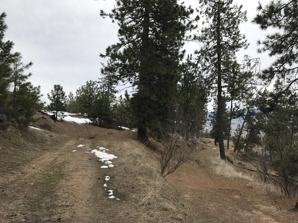
Antoine Peak is covered with a web of old logging or fire roads, and the hiking trail system on the mountain largely takes advantage of that. This guide follows the trails in a counterclockwise fashion, then loops around and contours along the southern flank for a figure-eight-style loop.
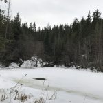
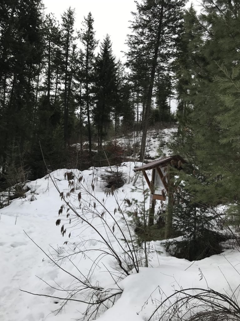
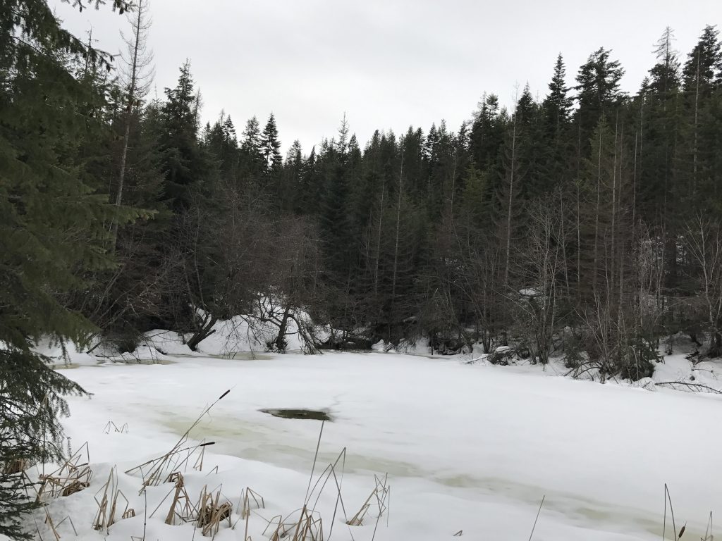
To start, follow the old logging road going north, paralleling Lincoln Road for a while, then veering away and shifting northwest, then westwards, to reach Leland Pond after roughly a mile. Leaving the pond behind, the trail moves sharply northwards, climbs steadily and leads to an intersection. You could go either way, the left branch is the shorter, and the right leads almost to the edge of the conservation area, then turns in a giant switchback (nice views at this point towards the east) that turns straight south and rejoins the first branch just before the 3-mile mark.
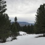
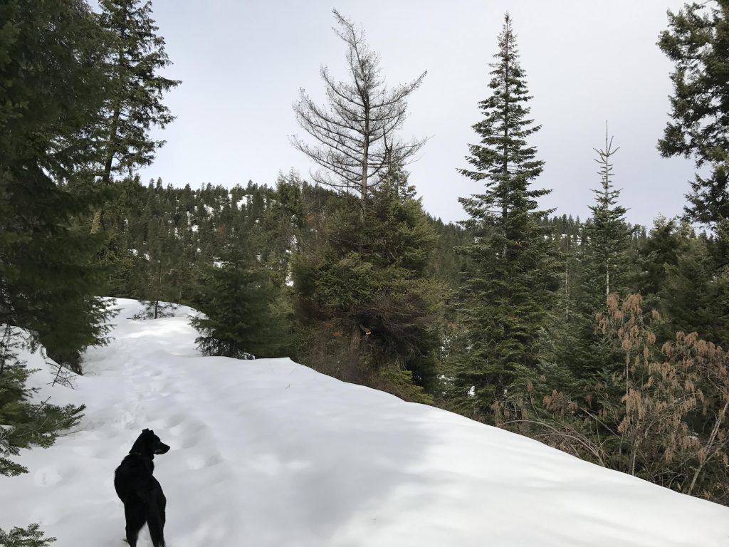
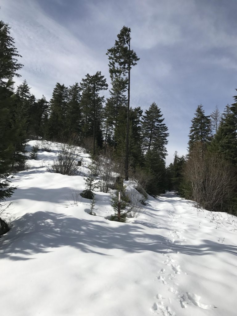
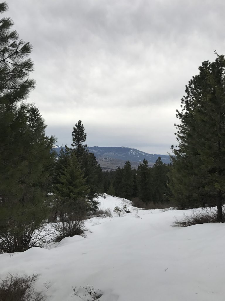
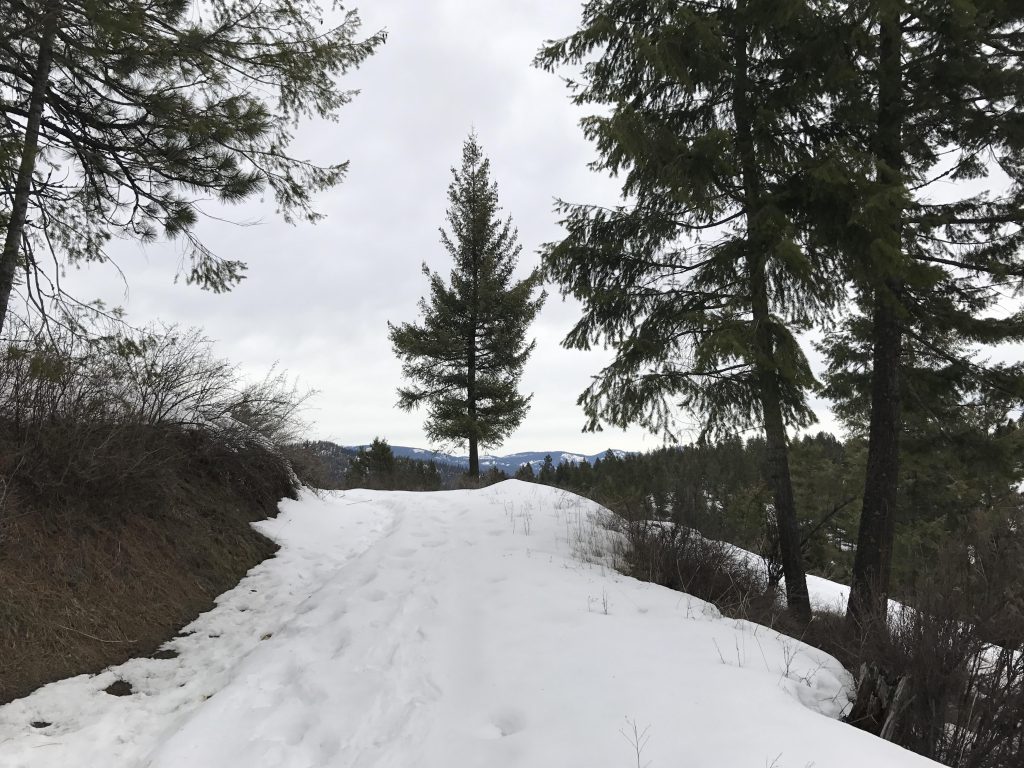
The logging road steadily climbs as it ascends the ridge, which is reached at the 3-mile mark. This spot indulges with the first views to the south, including Liberty Lake. The trail then follows the ridge to an unnamed knoll and traverses the saddle to the base of Antoine Peak.
A single track departs from the logging road and ascends the peak in a set of switchbacks, then climbs more or less in a straight line. About halfway to the peak, the trail spills onto another old logging road, which it follows northwards at a very manageable incline, only to depart once again and climbing the remainder to the peak in a straight line.
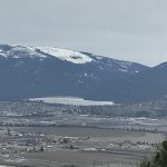
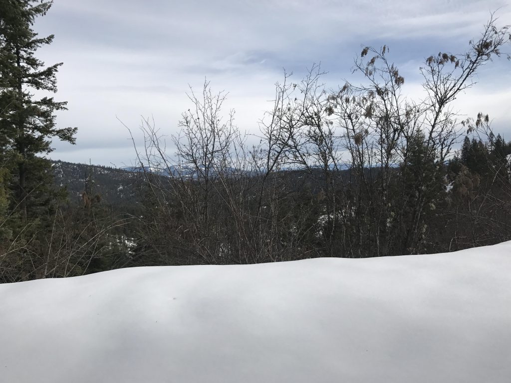
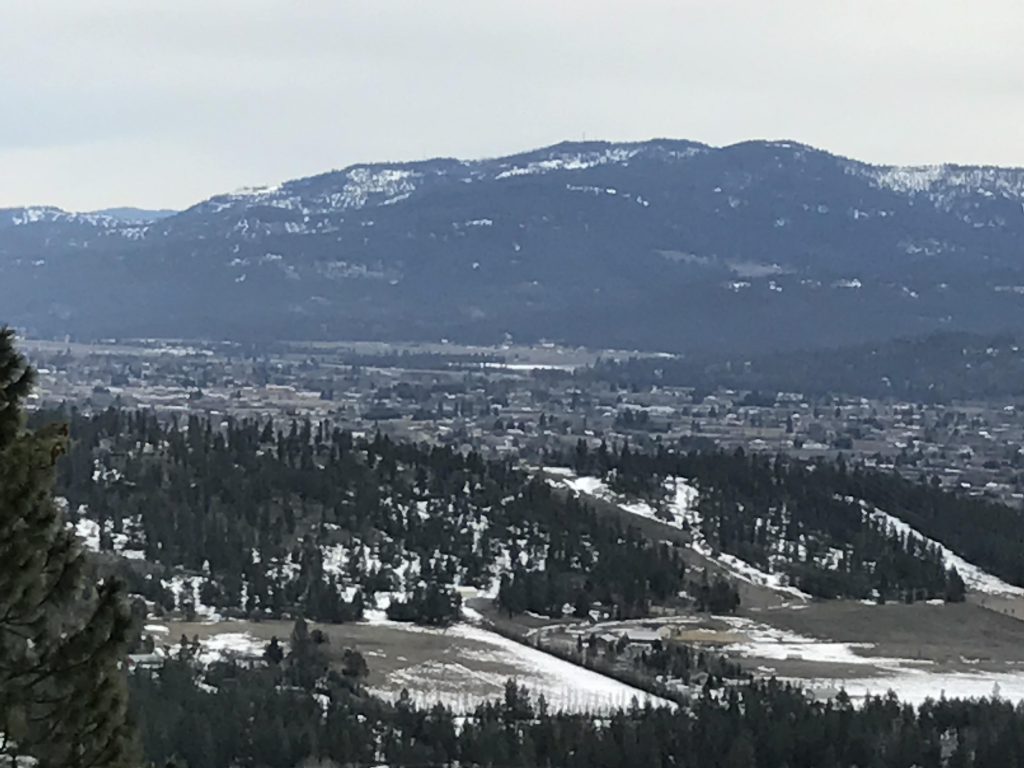
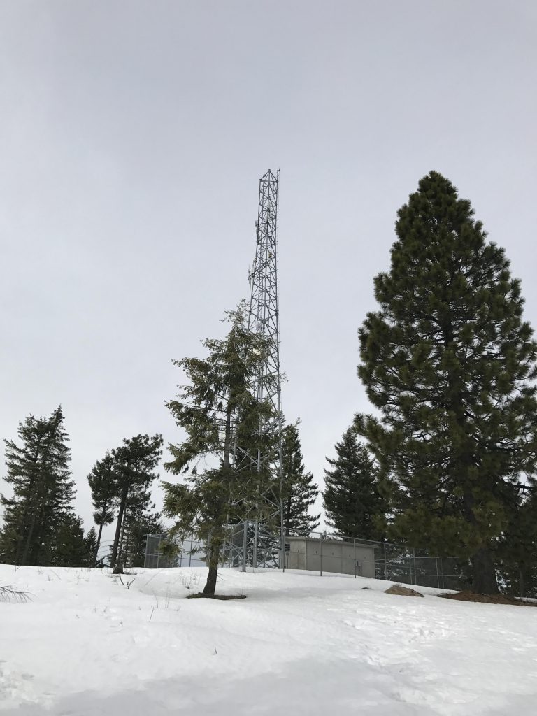
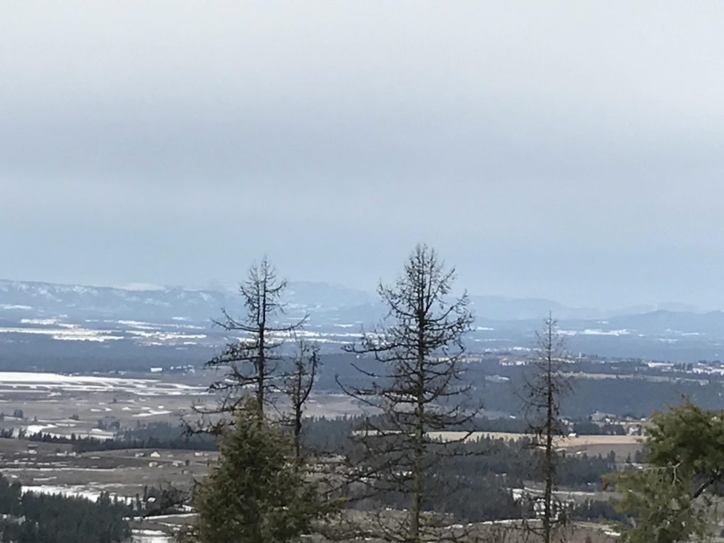
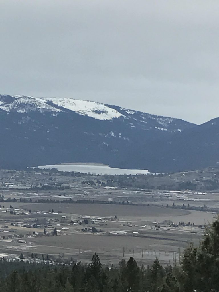
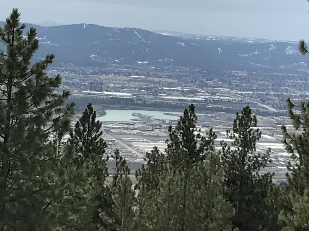
The views from the antenna-studded top are sweeping. To the east you can see well into Idaho, to the south you have Mica Peak, Liberty Lake, Tower Mountain and the Spokane industrial park. To the north is the Selkirk crest.
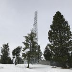
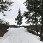
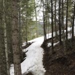
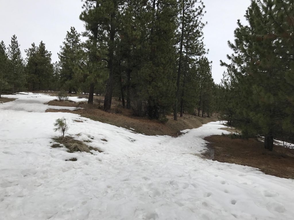
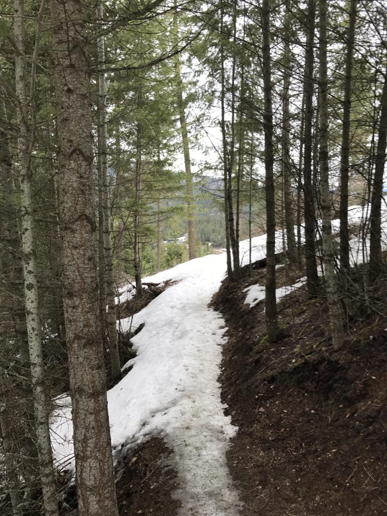
The trail leads across the top, among antenna masts, and heads down the far side. While snowshoes were necessary on the way up the eastern side, they became less and less required on the western side. The trail continues along the ridge, steadily losing altitude, and at the 5-mile mark intersects with another logging road that skirts the southern side of Antoine Peak.
This road was almost entirely snow free. It more or less contours along the mountain, at first declining, then rising again (once you reach the power lines; make sure to stay to the north of the power lines). After 2 miles the trail rejoins the original path at the base of Antoine Peak.
Retrace your steps along the inbound trail, across the saddle and down the ridge to the point where you’d originally reached the ridge. Instead of turning left, go straight and downhill along the ridge. At some point the trail will u-turn, moving westwards a bit along a logging road, then drop off to the right in form of a single track. The single track leads lower while once again curling around the mountain in a southerly direction, then hits upon another old logging road going northeast, which brings you back to the parking lot.
Alternate Routes
- An alternate access point is to the west on Robbins Road (limited parking)
- Refer to the trailmap for additional trails and/or shortcuts
Things to Consider
Not so great
Awesome! Just drove past here today.