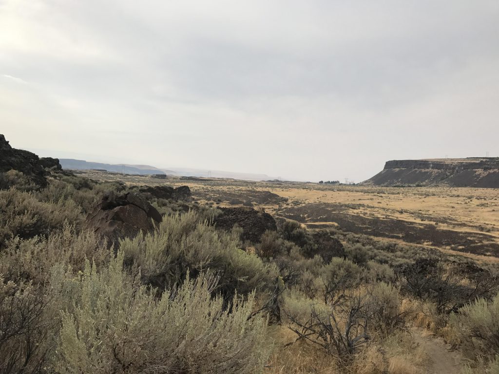
Ancient Lakes Loop

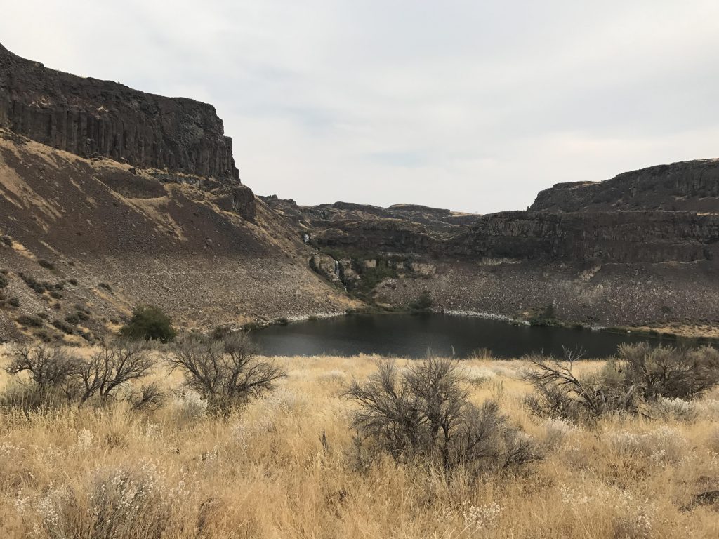
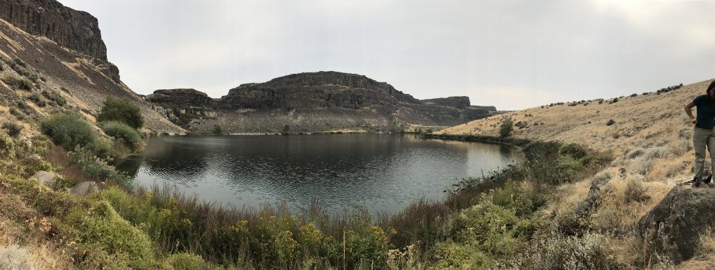
Ancient Lakes is a cluster of at least 5 lakes, maybe more, depending on the season, huddling beneath sheer basalt cliffs at the end of a coulee near the Columbia River. A network of trails loops around the basin, climbs the basalt cliffs, and reaches down into the Columbia River.
Location
  • Channeled Scablands
Rating
2.9 out of 5
Difficulty
Moderate (some hiking across talus)
Distance
5.5 miles
Duration
2:33 hours moving time (Hiking)
Elevation Gain
312 feet
High Point
1,085 feet (Waterfall)
Low Point
772 feet (Lakes)
Features
  • Lake
  • Waterfall
  • Meadow
  • Outing Type
  • Daytrip
  • Trail Type
  • Loop
  • Trailbed
    Packed dirt, talus
    Trail#
    Water
  • Lakes, but they are fed by agricultural runoff. Recommend against filtering lake water.
  • Camping
    • There are numerous spots near the lakes
    Conditions
    • Good
    Administration
  • Washington Department of Fish and Wildlife
  • Status
  • Unprotected
  • Maps
    USGS
  • Babcock Ridge
  • Fees & Permits
  • Fee required
  • (Discover Pass)
    Open To
  • Hikers
  • Dogs
  • Horses
  • Mountain Bikers
  • (Beware of snakes!)
    Directions
  • From I-90 take exit 151 and head towards Quincy on WA-281. Stay on WA-281 (this involves a right turn after 1.6 miles), then turn left onto Road 5 / White Trail Road (about 5 miles off the freeway). Stay on White Trail Road for 7.8 miles, then turn left onto Road 9 NW, follow that for 6 miles (after 2 miles it will turn into Ancient Lake Road, a well-graded gravel road). Parking is on the left (the road to the right featuring a snake-xing sign is a private driveway). There is a port-a-potty at the trailhead. Beware that some Google directions errouneously lead to Road 6 and dead-end at a no-trespassing sign!
  • Season
    Year-around, but very hot during peak summer months
    Resources
      Nearby
        Date
        September 16, 2017

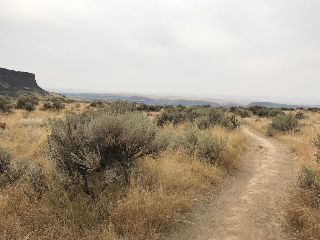
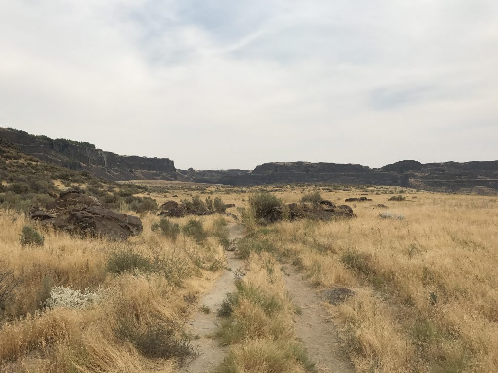
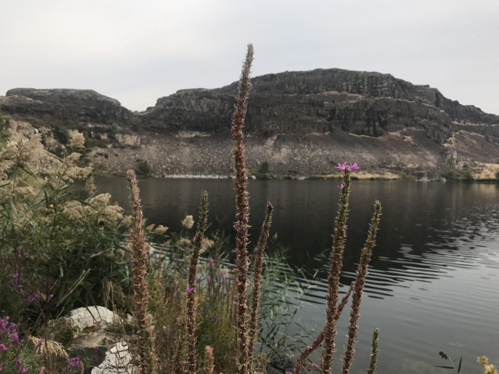
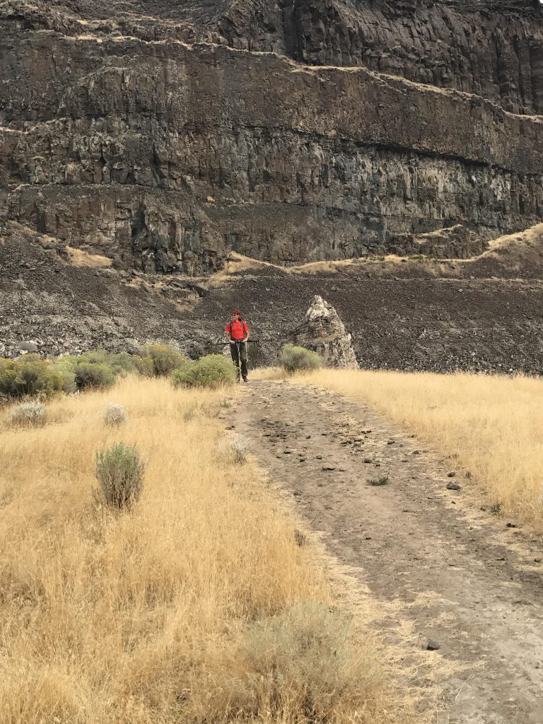
        Based on a reader recommendation, we decided to check out Ancient Lakes on a recent trip to Wenatchee. There are 2 access points, east and west. We started at the western end, following a wide packed-dirt single-track making its way into the coulee along the northern base of the basalt cliffs. The trail is easy to hike, mostly flat, leading through dense grass and sagebrush growth. There are no trees, making this mostly a spring and fall hike (watch out for rattlesnakes in the summer!). Spring is probably better, when the wildflowers and cacti are in full bloom. This being fall, the grass was yellowed and few flowers remained.
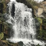
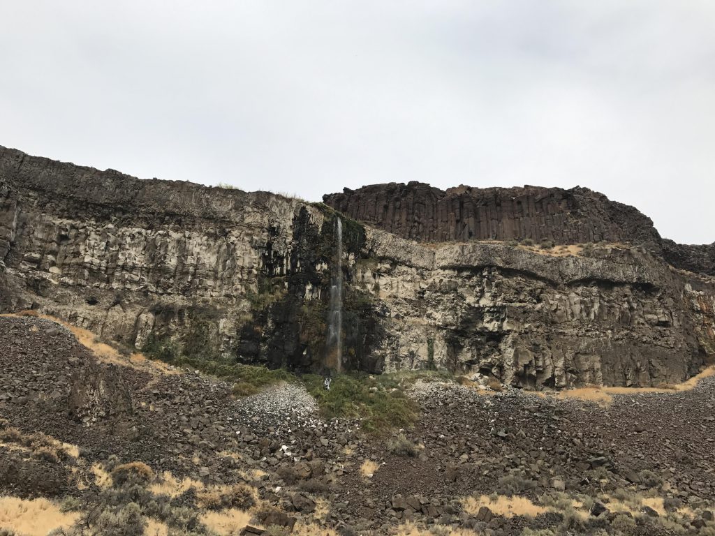
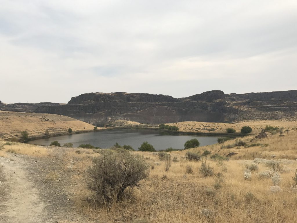
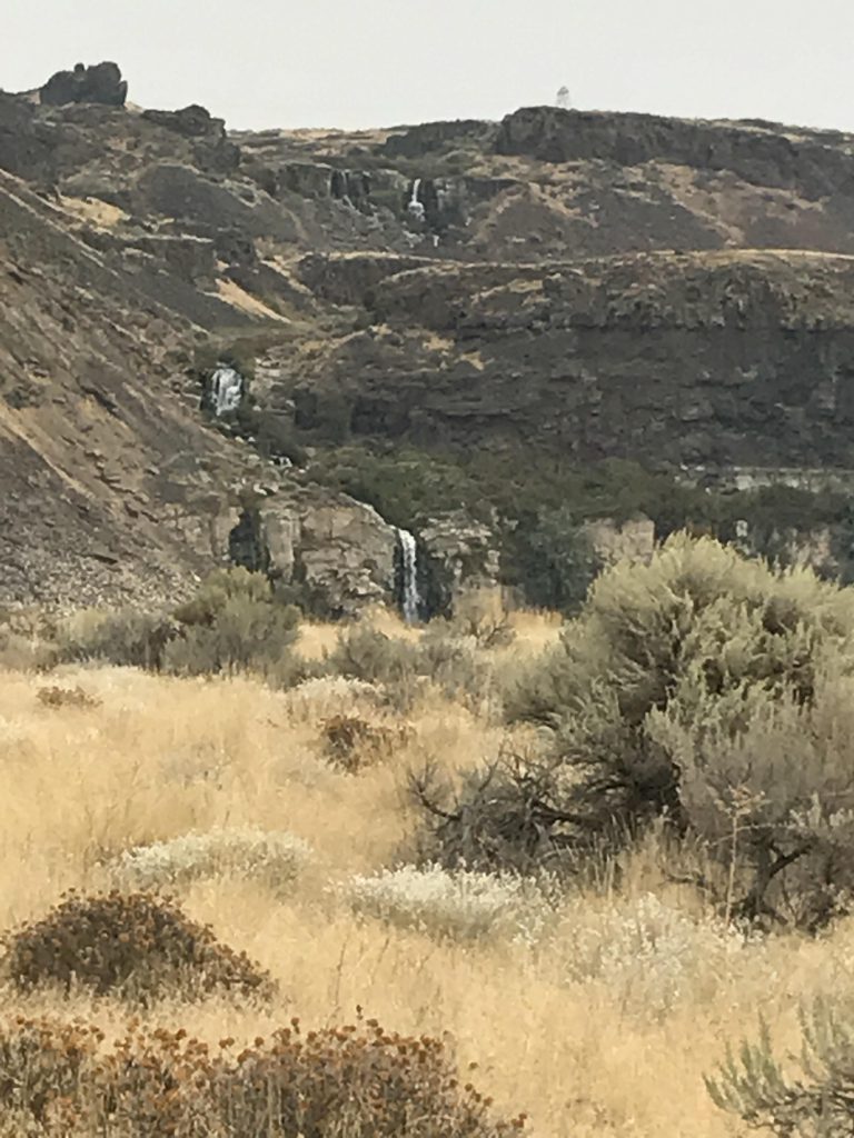
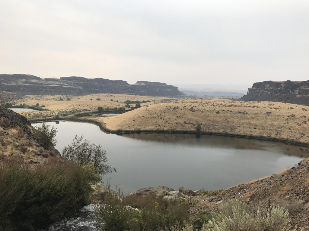
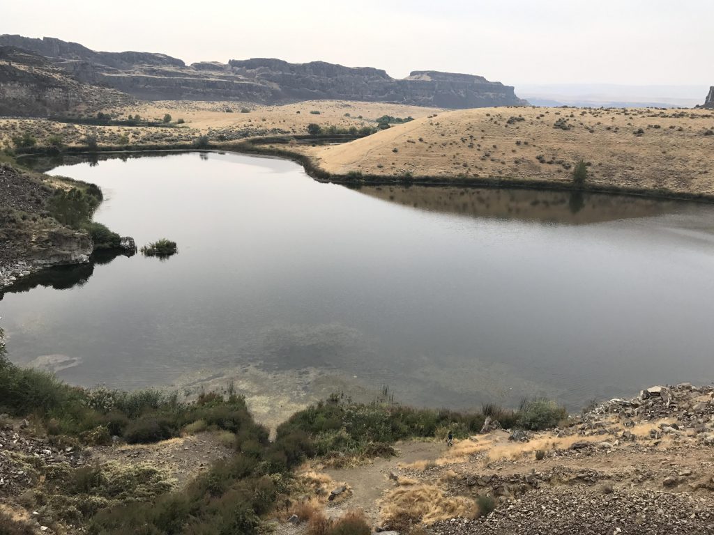
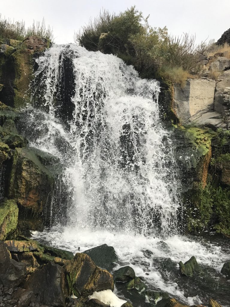
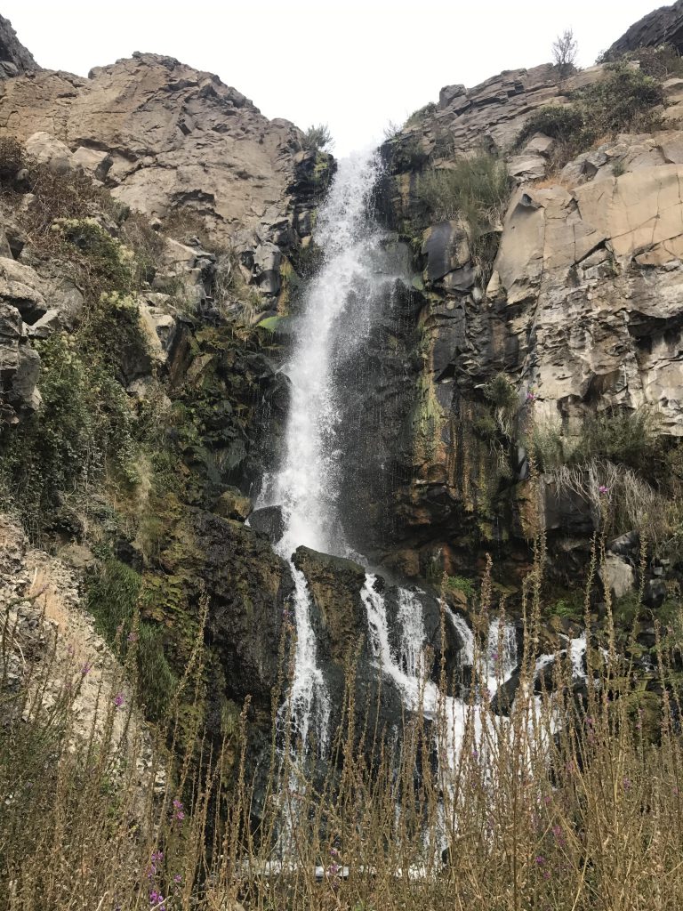
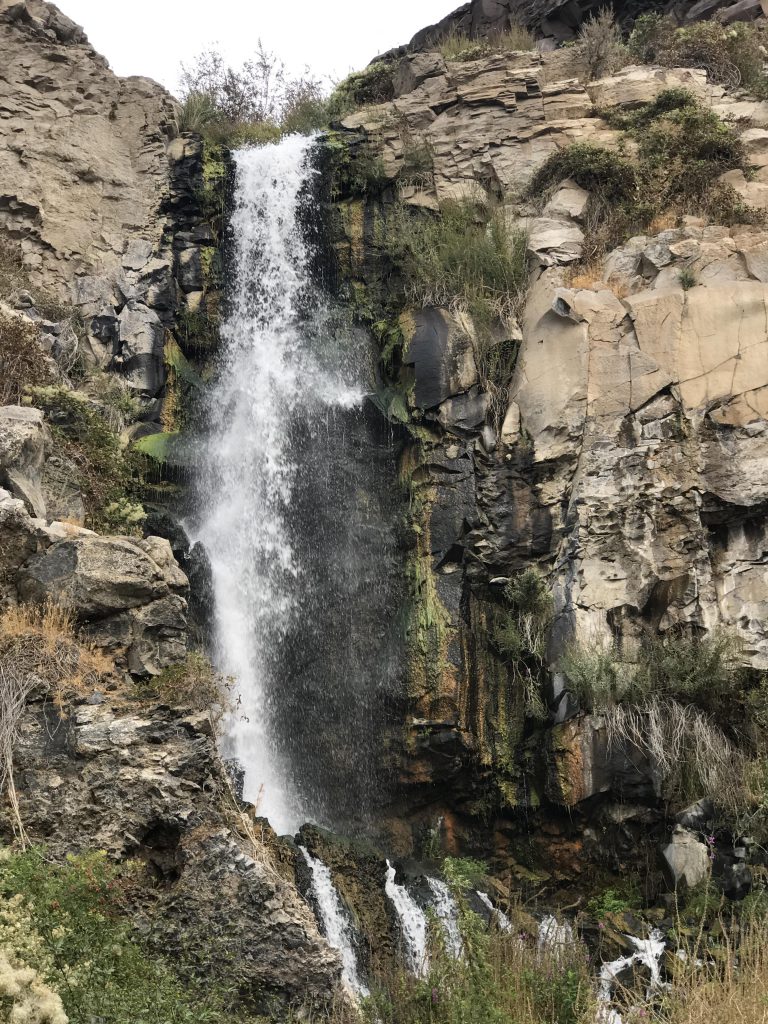
        The landscape changes once you reach the end of the coulee and the first lake comes into view. There are various ways, of different difficulty, around the lakes. We chose to move along the northernmost shore, which crosses a talus section to two waterfalls. A trail leads uphill from the lower to the upper fall, and from there you can continue on to Judith Pool and H Lake and eventually end up at the eastern trailhead.
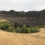
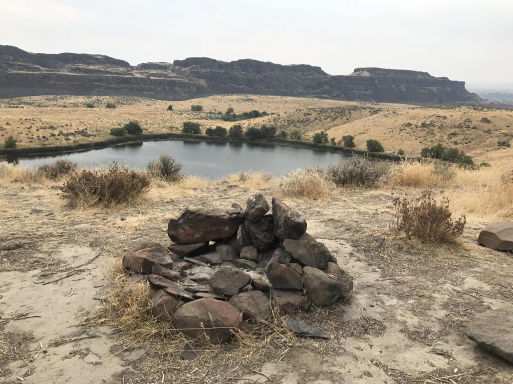
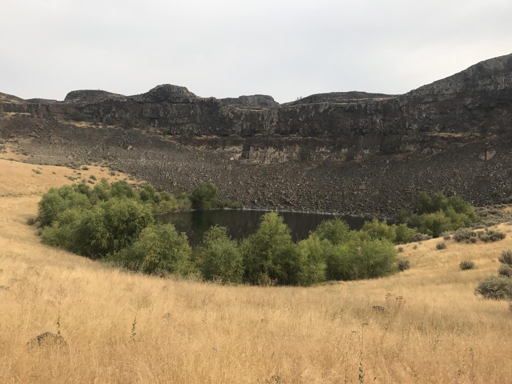
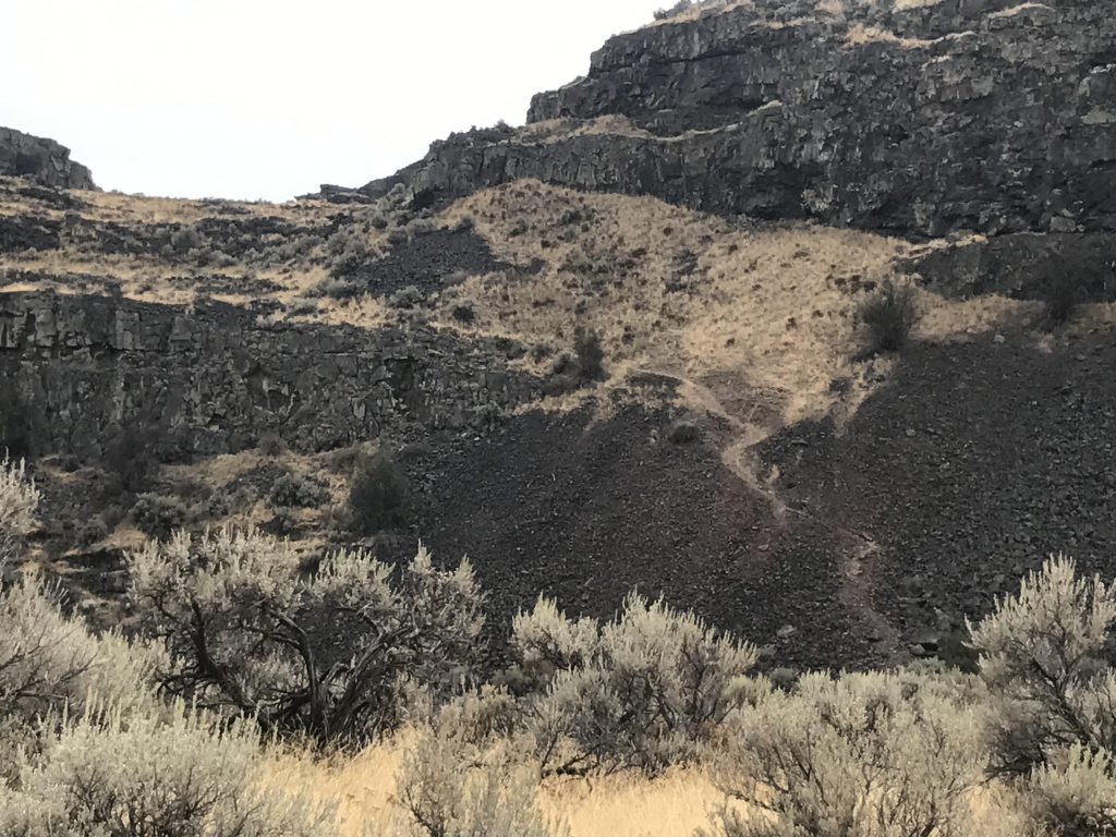
        Instead, we continued around the lake–more talus–and emerged on a dike-like hill dividing the lakes. Along this stretch are a few good campsites near the lakes’ shores. For the return trip we moved along the southern basalt cliffs, with the trail skirting another small lake, ringed prettily by the only trees in the coulee. Soon the trail forks and a side trail leads up the cliffside, no doubt to an excellent vantage point overlooking Dusty Lake, which fills the coulee to the immediate south. We continued on the main trail (right), however, which wound its way through giant boulders and rock formations to the mouth of the coulee. Another fork then appears, with the left prong heading into the Dusty Lake basin and the right one back to the trailhead. 

        Alternate Routes

        • Use the eastern trailhead for a much shorter hike to the lakes (perhaps a mile). Or, continue to the next coulee, Dusty Lake. Or, head down to the Columbia River!

        Things to Consider

          Not so great
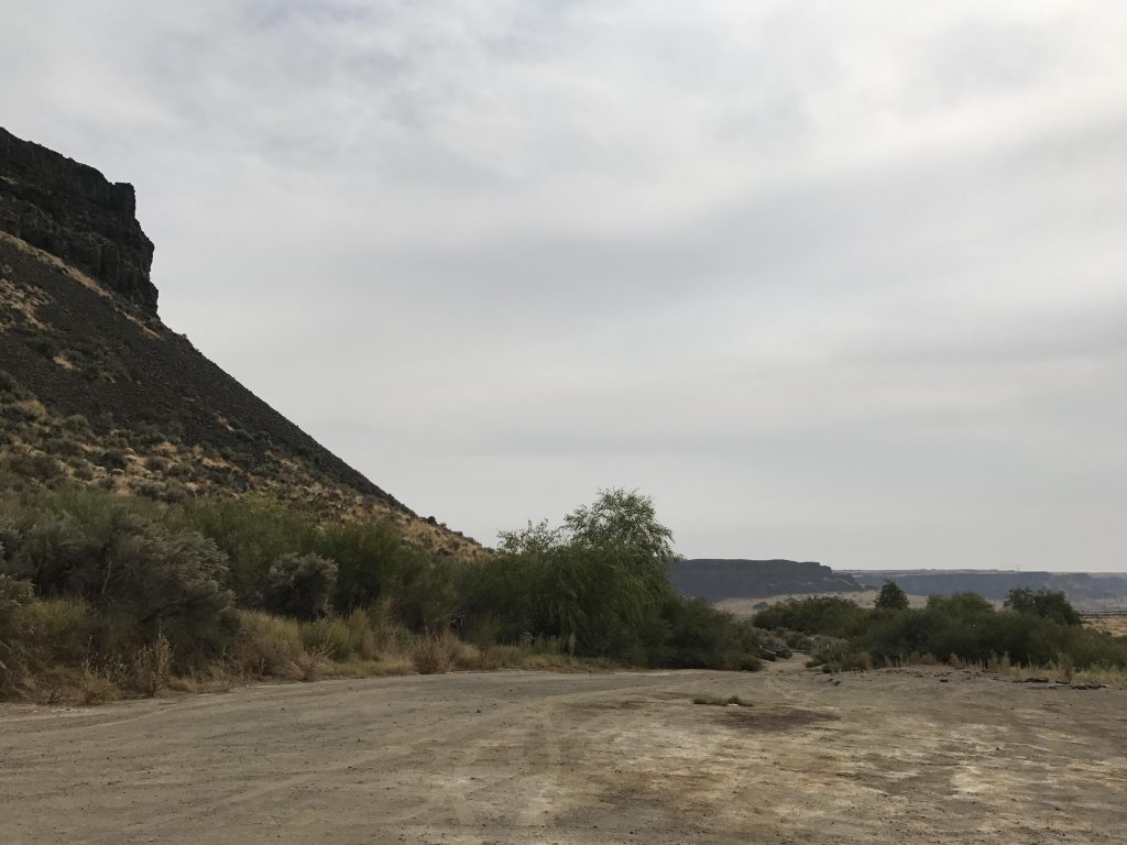
            Trailhead
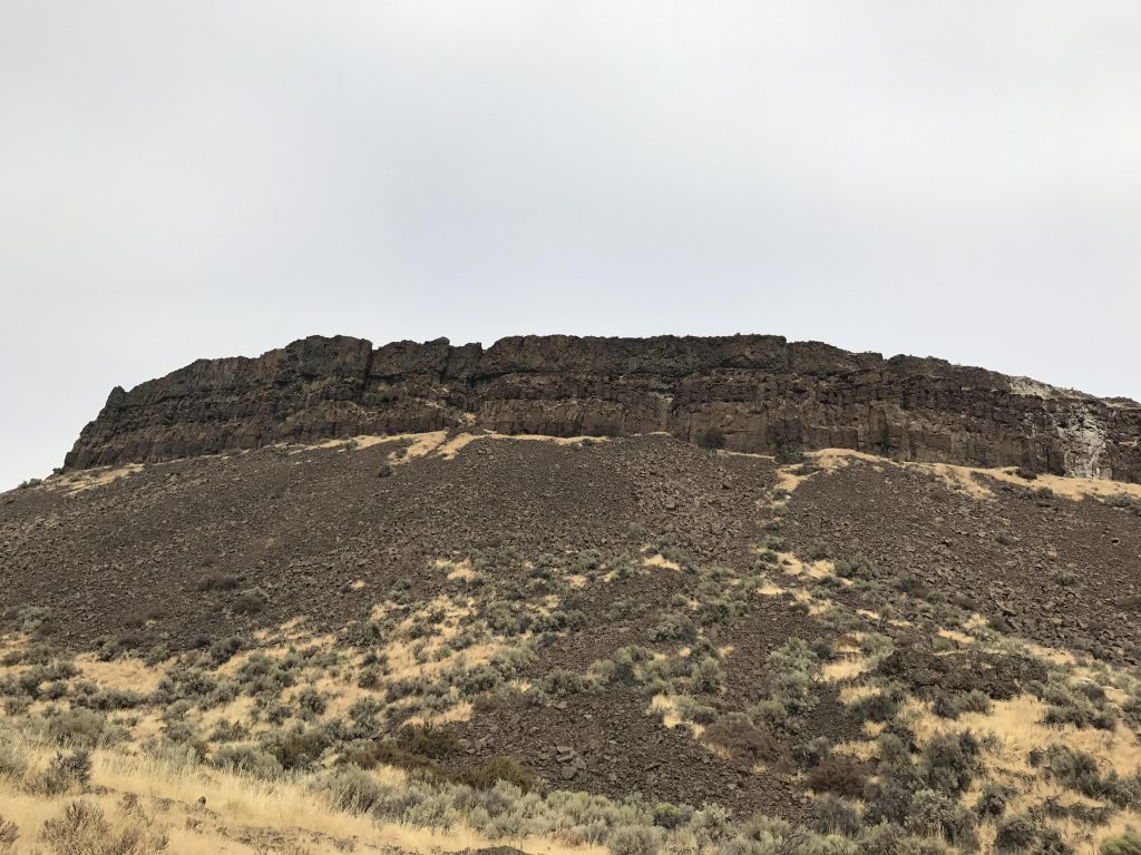
            Basalt cliff
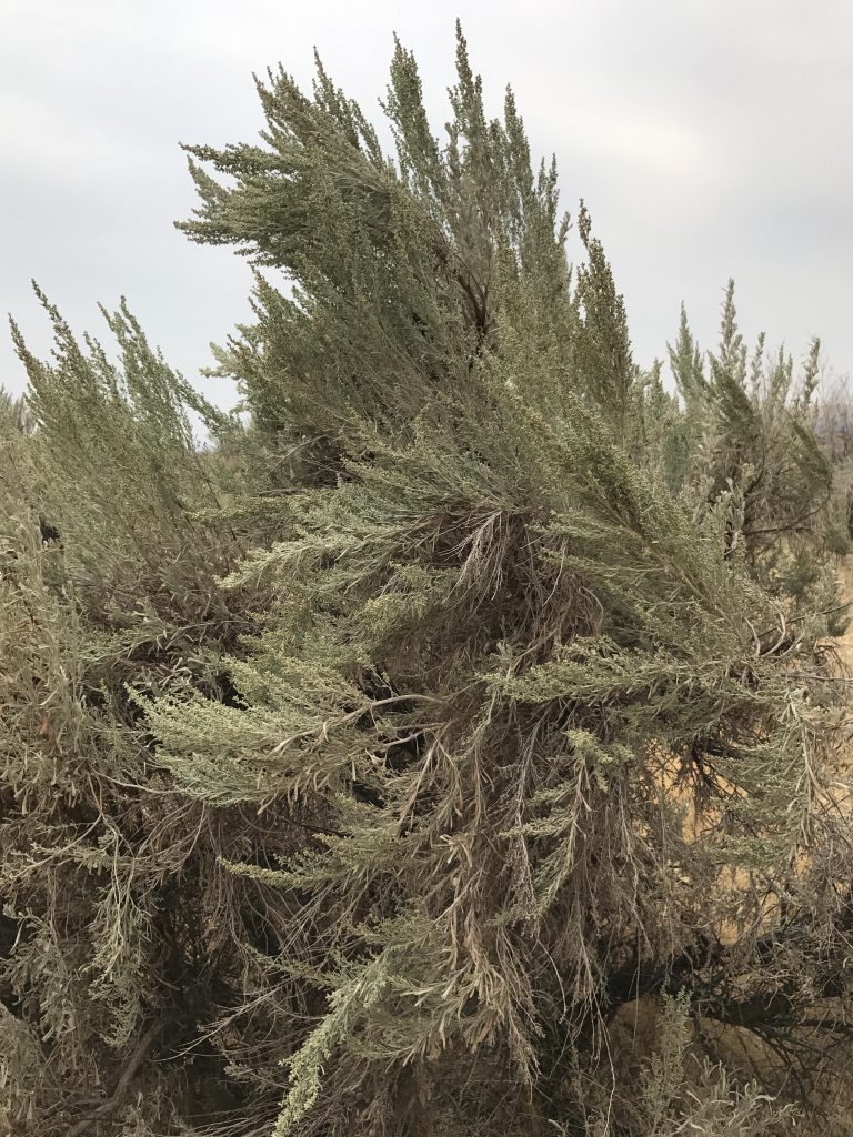
            Lots of sage!
            Most of the trail is packed dirt, sometimes overgrown with prickly vines
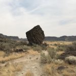
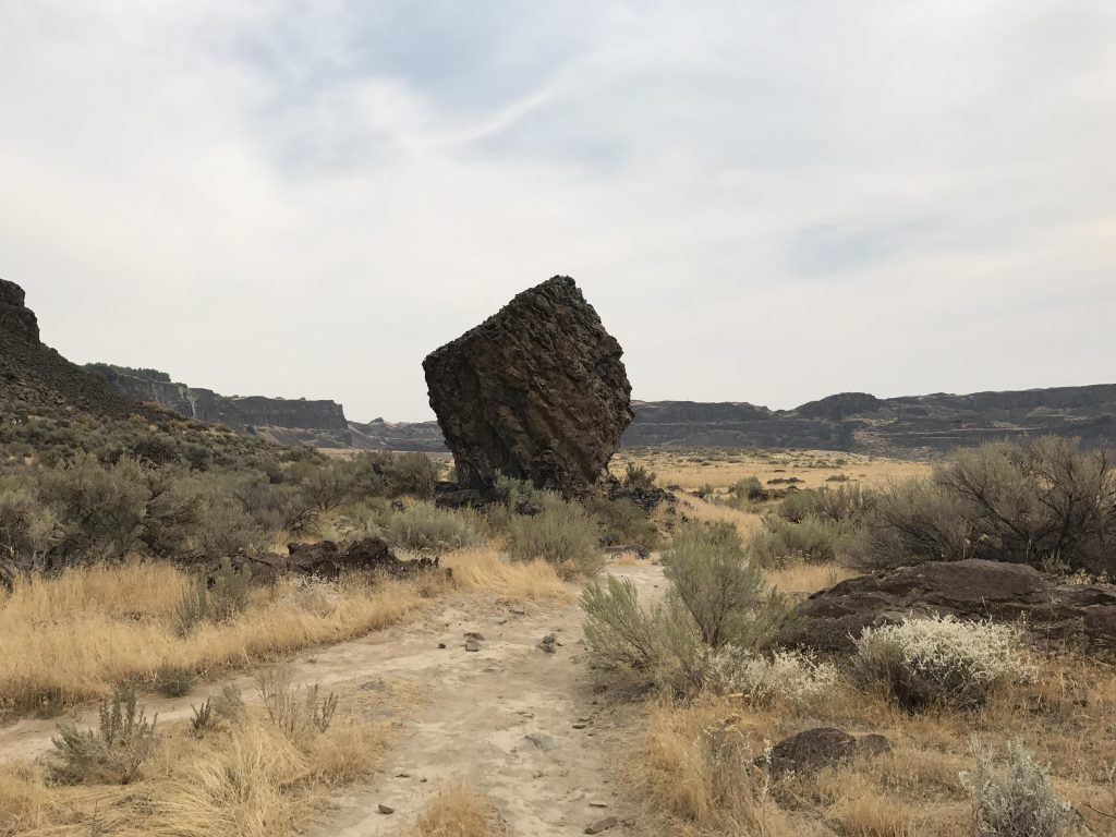
            A lone boulder
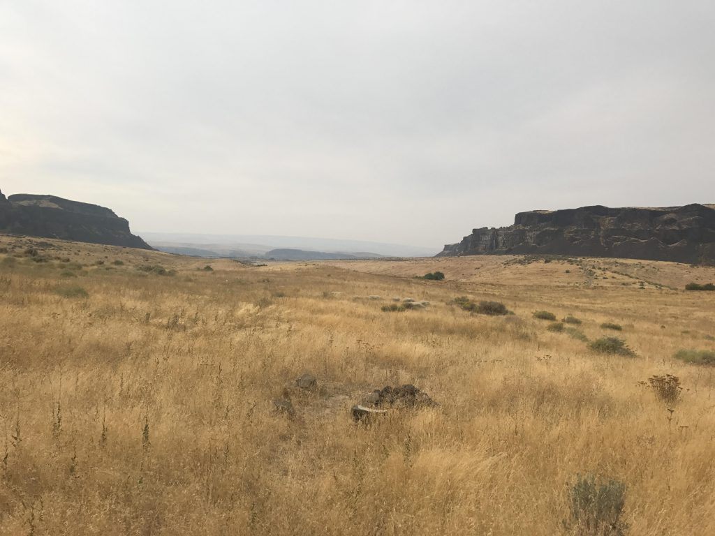
            Looking into the coulee towards the Ancient Lakes
            There are a few trickles seeping over the edge of the basalt cliffs
            One of the Ancient Lakes
            Waterfalls at the east end of the Ancient Lakes
            Campsite above the Ancient Lakes
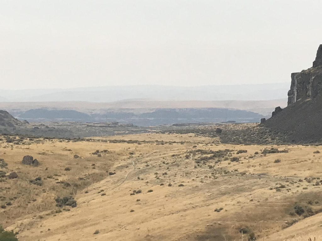
            Looking out of the coulee towards the Columbia Gorge
            The east-most Ancient Lake
            Panorama shot of the east-most Ancient Lake
            Basalt cliffs above the Ancient Lakes
            View from cliff above Ancient Lakes near the waterfall (looking towards the Columbia River)
            Ancient Lake
            Upper waterfall
            Lower waterfall
            Closeup of lower waterfall
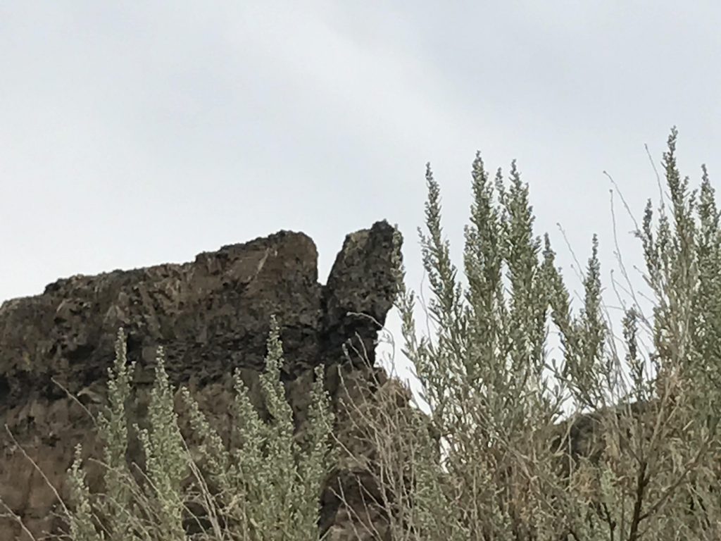
            Rock formation
            A lone hiker along the Ancient Lake trail
            Grass-covered desert stretching towards the Columbia Gorge
            Another lake (south side) with a ring of trees
            A trail climbing the cliff divide between Ancient Lakes and Dusty Lake
            A tumble of boulders near the mouth of the coulee

            4 Comments

            1. bubbasuess says:

              I have wanted to do this hike ever since I learned about it. Waterfalls in the desert are an awesome thing!

              1. naughtyhiker says:

                Yes that was pretty amazing, especially this late in the season. This is apple country and so it’s mostly irrigation runoff (at some spots you can see the orchards up on the plateau). There’s no outlet to the lakes, so it probably seeps down to the Columbia or gets pumped right up into the orchards…

            2. bubbasuess says:

              I have wanted to do this hike ever since I learned about it. Waterfalls in the desert are an awesome thing!

              1. naughtyhiker says:

                Yes that was pretty amazing, especially this late in the season. This is apple country and so it’s mostly irrigation runoff (at some spots you can see the orchards up on the plateau). There’s no outlet to the lakes, so it probably seeps down to the Columbia or gets pumped right up into the orchards…

            Comments are closed.